The best running trails in Crown Land Reserve
4.1
(11)
276
runners
20
runs
Jogging in Crown Land Reserve offers diverse opportunities across public lands managed for recreation and environmental protection. These areas typically feature extensive natural landscapes, including forests, grasslands, and riparian zones, providing varied terrain for runners. Established trails, often repurposed from hiking paths or former logging roads, range from relatively flat routes to more challenging sections with uneven ground and small hills. Waterways, estuaries, and coastal paths are also common, offering unique running environments.
Best jogging routes in Crown Land Reserve
…Last updated: October 11, 2026
6
runners
9.49km
01:05
120m
120m
Moderate run. Good fitness required. Mostly paved surfaces. Suitable for all skill levels.
36
runners
24.1km
02:57
410m
410m
Hard run. Very good fitness required. Mostly accessible paths. Some sure footedness required.

4.0
(1)
16
runners
8.47km
01:02
140m
140m
Moderate run. Good fitness required. Mostly paved surfaces. Suitable for all skill levels.
22
runners
12.3km
01:35
380m
380m
Hard run. Very good fitness required. Mostly accessible paths. Some sure footedness required.
3.5
(2)
9
runners
24.5km
03:09
550m
550m
Hard run. Very good fitness required. Mostly accessible paths. Some sure footedness required.
Get access to more routes and recommendations from other explorers.
Already have an account?
Our route recommendations are based on thousands of hikes, rides, and runs completed by other people on komoot.
Start today with a free account
Your next adventure awaits.

Tips from the Community


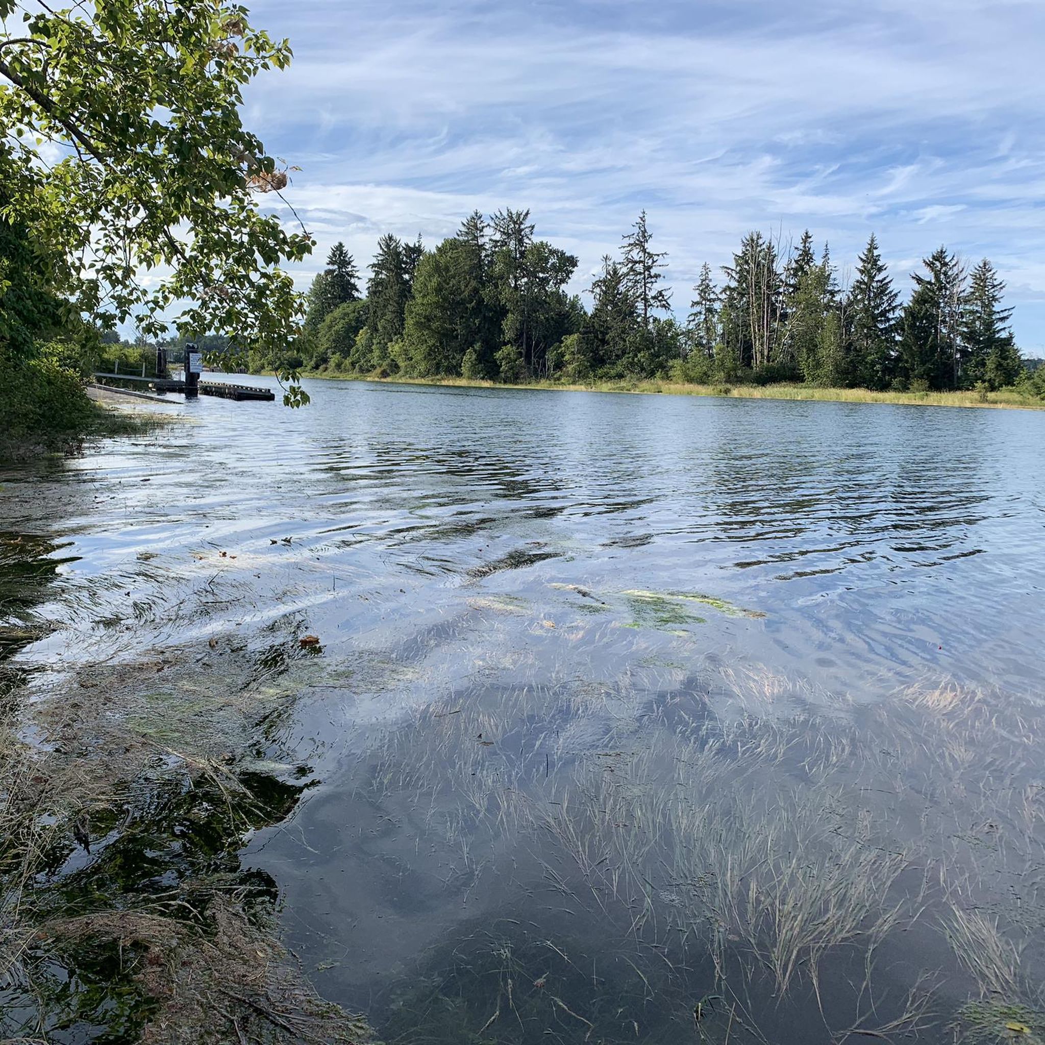
Located at the quiet dead-end of Hatton Road in the Courtenay-Royston area of Vancouver Island, this spot sits close to the edge of the Chinook Forest Woodlands, a well-known local trail network that includes routes like Moe's Misery.
0
0

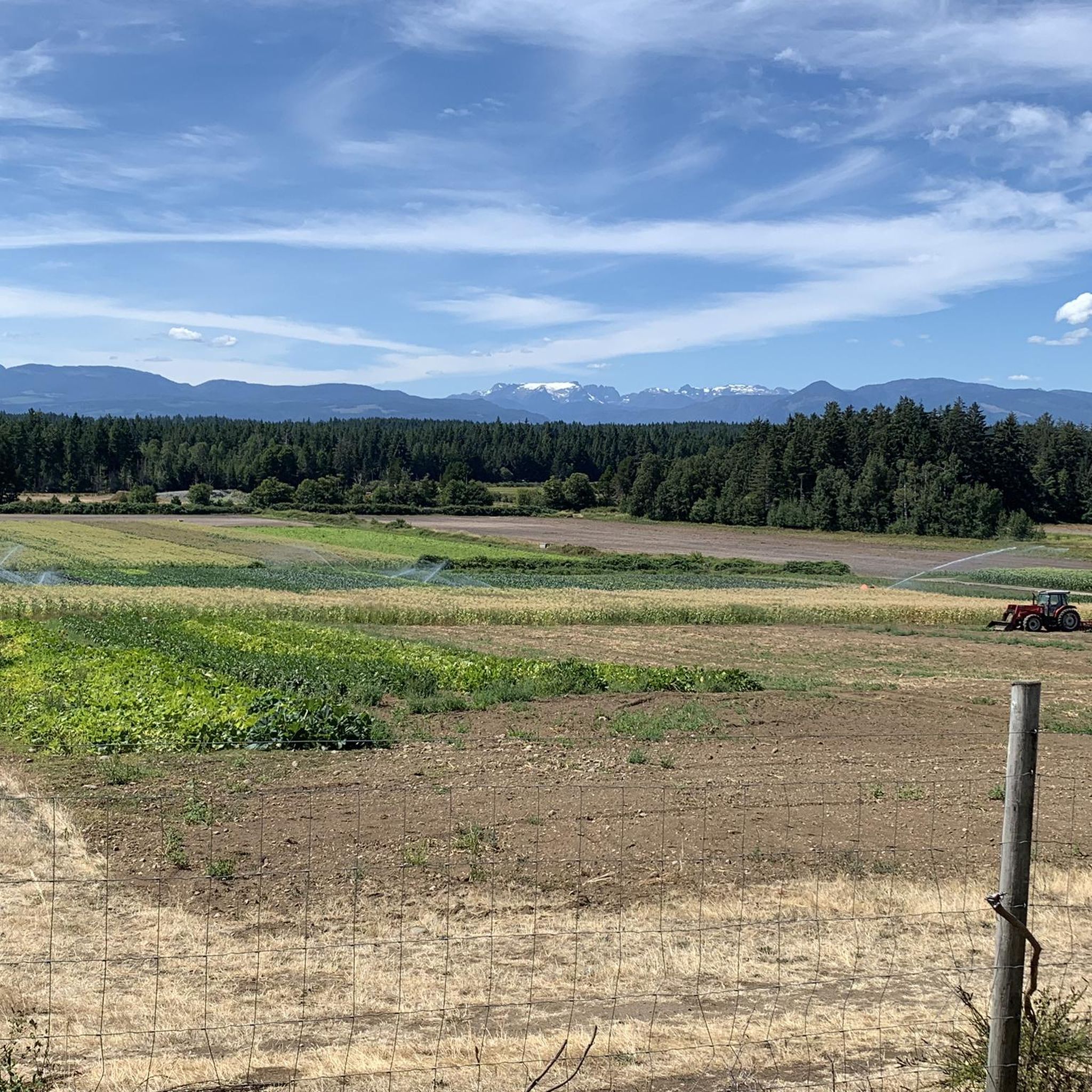
Davis Lake Main is an old, wide gravel logging road, now used for recreation. It is usually smooth but after heavy rain it can become rutted, and muddy. It takes hikers and bikers through forests of Douglas fir and western hemlock, and past Perseverance Creek and China Pools.
0
0
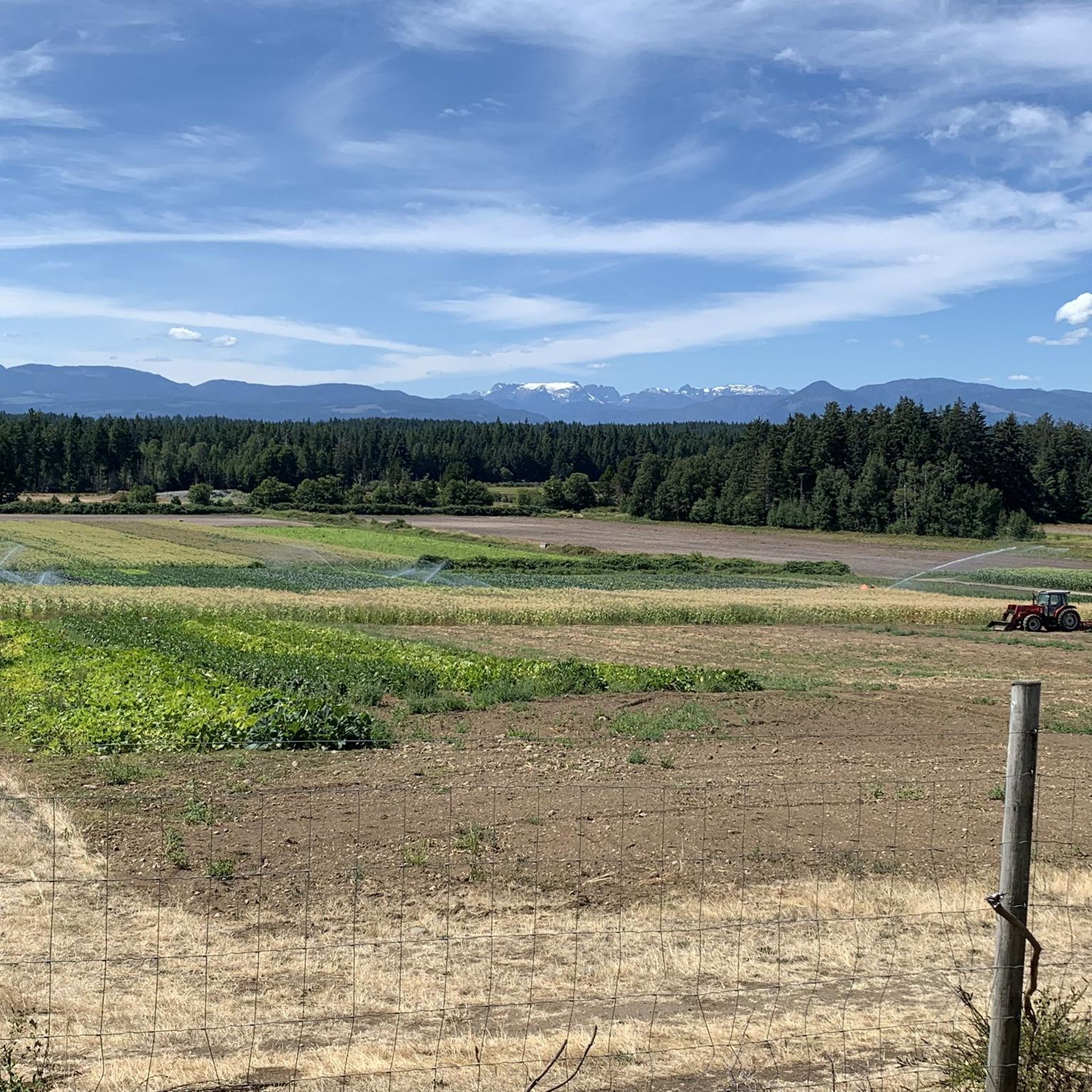
Cumberland Community Forest stretches more than 500 acres, and is mostly second-growth coastal forest with a web of well-maintained trails. These trails are open to hiking, mountain biking and trail running.
0
0
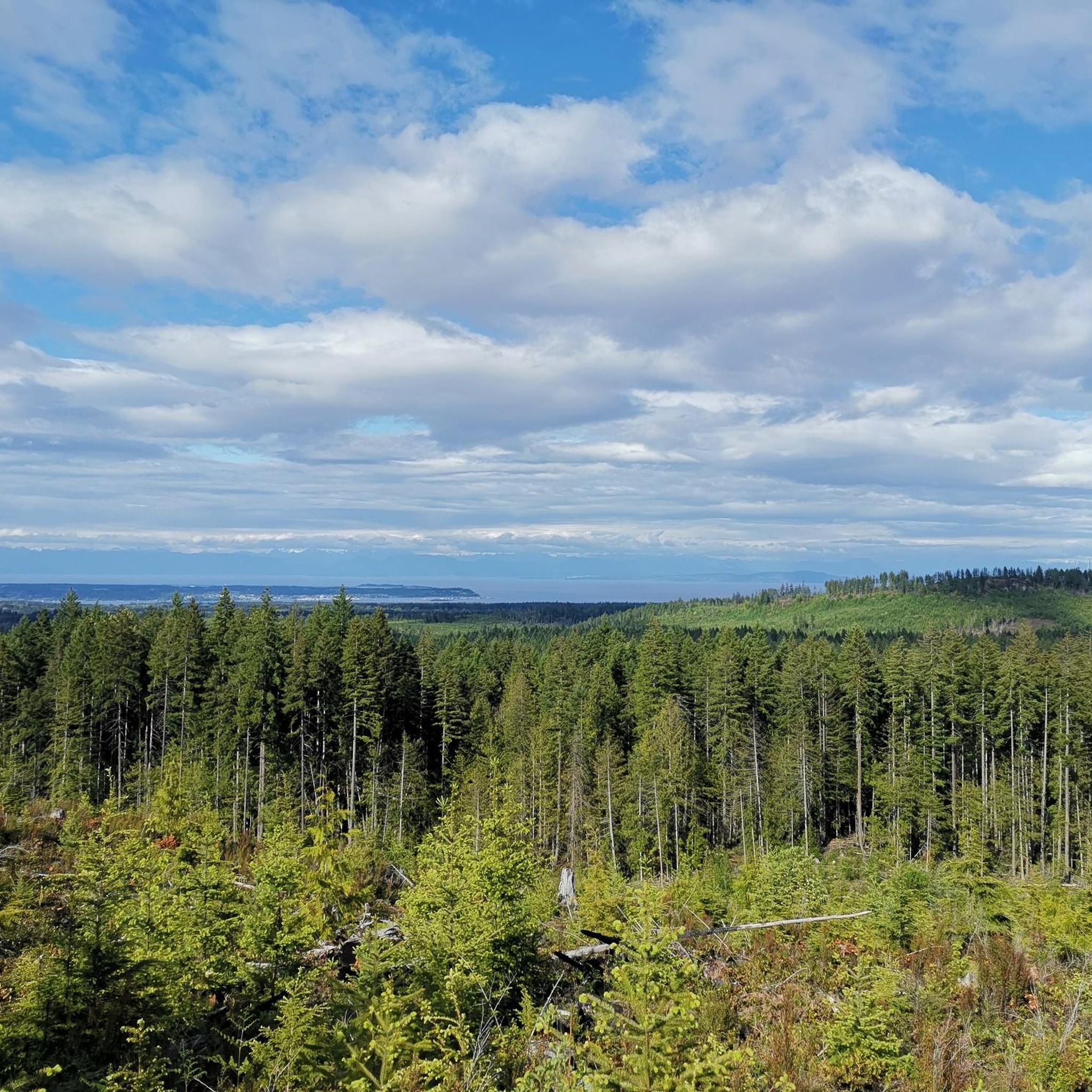
The China Bowls are created by Perseverance Creek, which flows with cold and clear water, smoothing stone ledges into deep basins that glow turquoise when the sun hits them. The pools are named after the nearby historic Chinatown site, and are surrounded by ferns, cedars, and Douglas fir.
0
0
Frequently Asked Questions
What kind of terrain can I expect on running routes in Crown Land Reserve?
Crown Land Reserves offer a diverse range of terrains for runners. You can expect to encounter varied ecosystems, including forests, grasslands, shrublands, riparian zones, and wetlands. Many routes utilize established hiking and walking trails, as well as repurposed logging roads. This means paths can range from relatively flat and even to more challenging sections with uneven ground, small hills, and natural obstacles like rocks and roots. Some areas also feature waterways, estuaries, and coastal paths, providing unique riverside or beach running experiences.
How many running routes are available in Crown Land Reserve?
There are over 25 running routes available in Crown Land Reserve, catering to various preferences and fitness levels. These include a mix of easy, moderate, and difficult trails.
Are there running routes suitable for beginners or those looking for an easy run?
Yes, Crown Land Reserve offers several easy running routes perfect for beginners or those seeking a less strenuous experience. While specific easy routes aren't detailed here, the overall network includes paths with gentler gradients and smoother surfaces, often found on former logging roads or well-maintained walking trails.
What about more challenging running trails for experienced runners?
For experienced runners seeking a challenge, Crown Land Reserve has numerous difficult trails. For example, the Cumberland Community Forest loop from Cumberland is a difficult 15.0-mile (24.1 km) path with significant elevation changes. Another demanding option is the Cumberland Community Forest – China Bowls loop from Cumberland, which spans 15.3 miles (24.6 km) and features over 560 meters of ascent.
Are there any circular running routes in Crown Land Reserve?
Yes, many of the running routes in Crown Land Reserve are designed as loops, allowing you to start and finish at the same point. Examples include the popular Running loop from South Island Highway at Gartley Road (NB) and the Fuji Jim Mountain loop from Cumberland.
Can I bring my dog on the running trails in Crown Land Reserve?
Crown Land Reserves are generally public lands, and many allow dogs, often requiring them to be on a leash. However, specific regulations can vary by location within the reserve. It's always best to check local signage or the specific trail's guidelines before heading out with your canine companion to ensure a pleasant experience for everyone.
Are there any running routes with scenic viewpoints or natural attractions like waterfalls?
While specific attractions vary, Crown Land Reserves are known for their natural beauty. Some areas, like Crown Point in the Columbia Gorge (USA), are at the beginning of a 'Waterfall Corridor,' offering stunning natural attractions. Many trails traverse diverse landscapes, including forests and riparian zones, providing scenic backdrops and opportunities for beautiful views. You can often find viewpoints along routes that climb to higher elevations.
What are the typical lengths of running trails in Crown Land Reserve?
The running trails in Crown Land Reserve vary significantly in length. You can find shorter routes, such as the Cumberland Community Forest – Davis Lake Main loop from Cumberland at 3.8 miles (6.1 km), to much longer and more challenging options like the Cumberland Community Forest loop from Cumberland, which is 15.0 miles (24.1 km) long.
Is parking available at the trailheads for running routes?
Many Crown Land Reserve trailheads, especially those for more established routes, offer parking facilities. For example, the Crown Z Trail in Oregon, a type of Crown Land route, has multiple trailheads, some with amenities like parking. It's advisable to check the specific route details on komoot for information on parking availability at your chosen starting point.
What do other runners enjoy most about jogging in Crown Land Reserve?
The running routes in Crown Land Reserve are highly rated by the komoot community, with an average score of 4.5 stars from 2 reviews. Runners often praise the diverse ecosystems, the variety of terrain from gentle paths to challenging routes, and the opportunity to connect with nature in these public open spaces. The network of established hiking trails and former logging roads provides extensive and varied options for all abilities.
Are there any family-friendly running routes in Crown Land Reserve?
While specific 'family-friendly' designations aren't always explicit, many of the easier and moderate routes in Crown Land Reserve can be suitable for families, especially those with older children or those who enjoy a leisurely pace. Look for routes with less elevation gain and smoother surfaces, which are often found on repurposed logging roads or well-maintained paths within the reserves.
How can I find out more about the management and purpose of Crown Lands?
Crown Lands are public lands managed by governments for various purposes, including recreation and environmental protection. To understand more about their specific management and regulations in different regions, you can refer to official government resources. For example, in New South Wales, Australia, you can learn more about what constitutes Crown Land at nsw.gov.au.
Most popular routes in Crown Land Reserve

Get inspired with the komoot mobile app


Explore more
Browse the best Running Trails & Routes in other regions.
