The best road cycling routes in Crown Land Reserve
4.7
(16)
275
riders
13
rides
Road cycling in Crown Land Reserve offers routes through a landscape defined by extensive forests and varied topography, particularly in regions like British Columbia. These publicly accessible lands often feature networks of rural roads and trails, providing diverse terrain for cyclists. The area includes significant forested sections and can present hilly regions, allowing for both scenic, shaded rides and more challenging climbs.
Best road cycling routes in Crown Land Reserve
- The most popular road cycling route is Willemar Bluff –…
Last updated: October 8, 2026
5.0
(2)
44
riders
77.0km
03:34
560m
560m
Moderate road ride. Good fitness required. Some segments of this route may be unpaved and difficult to ride.
16
riders
53.6km
02:39
460m
460m
Moderate road ride. Good fitness required. Some segments of this route may be unpaved and difficult to ride.

54
riders
125km
05:21
840m
840m
Hard road ride. Very good fitness required. Some segments of this route may be unpaved and difficult to ride.
21
riders
66.9km
03:50
1,240m
1,240m
Hard road ride. Very good fitness required. Mostly well-paved surfaces and easy to ride.
5
riders
25.2km
01:10
240m
240m
Moderate road ride. Great for any fitness level. Some segments of this route may be unpaved and difficult to ride.
Get access to more routes and recommendations from other explorers.
Already have an account?
Our route recommendations are based on thousands of hikes, rides, and runs completed by other people on komoot.
Start today with a free account
Your next adventure awaits.
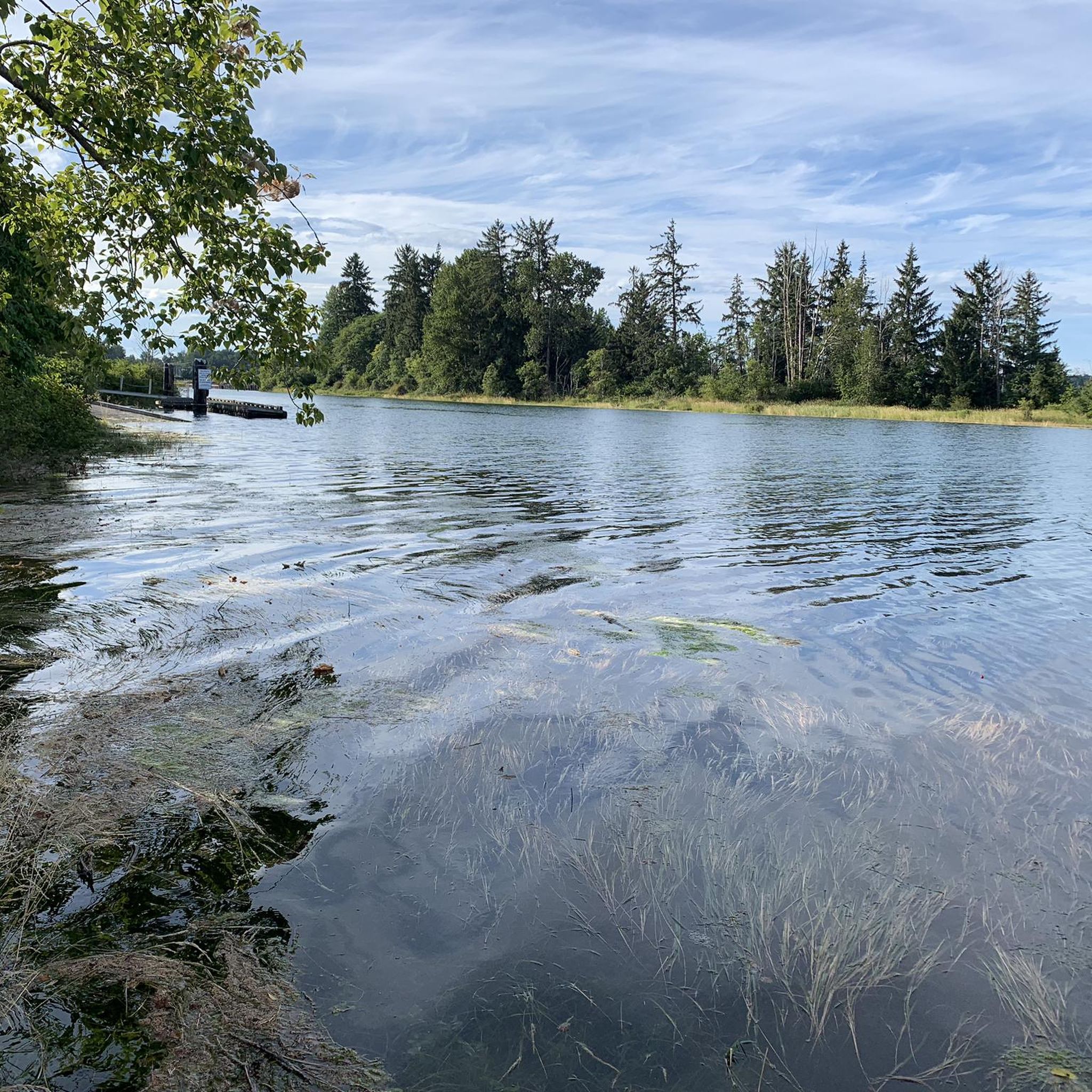
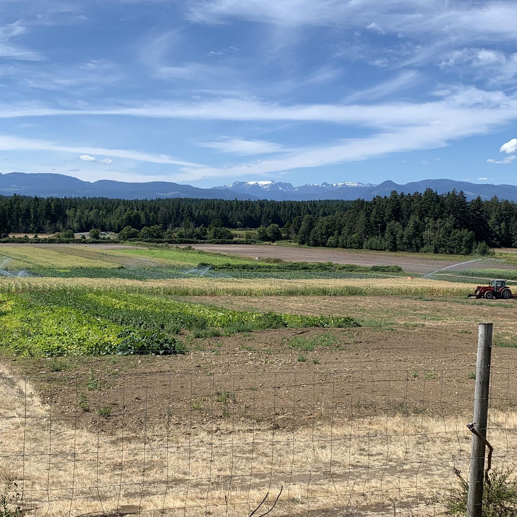

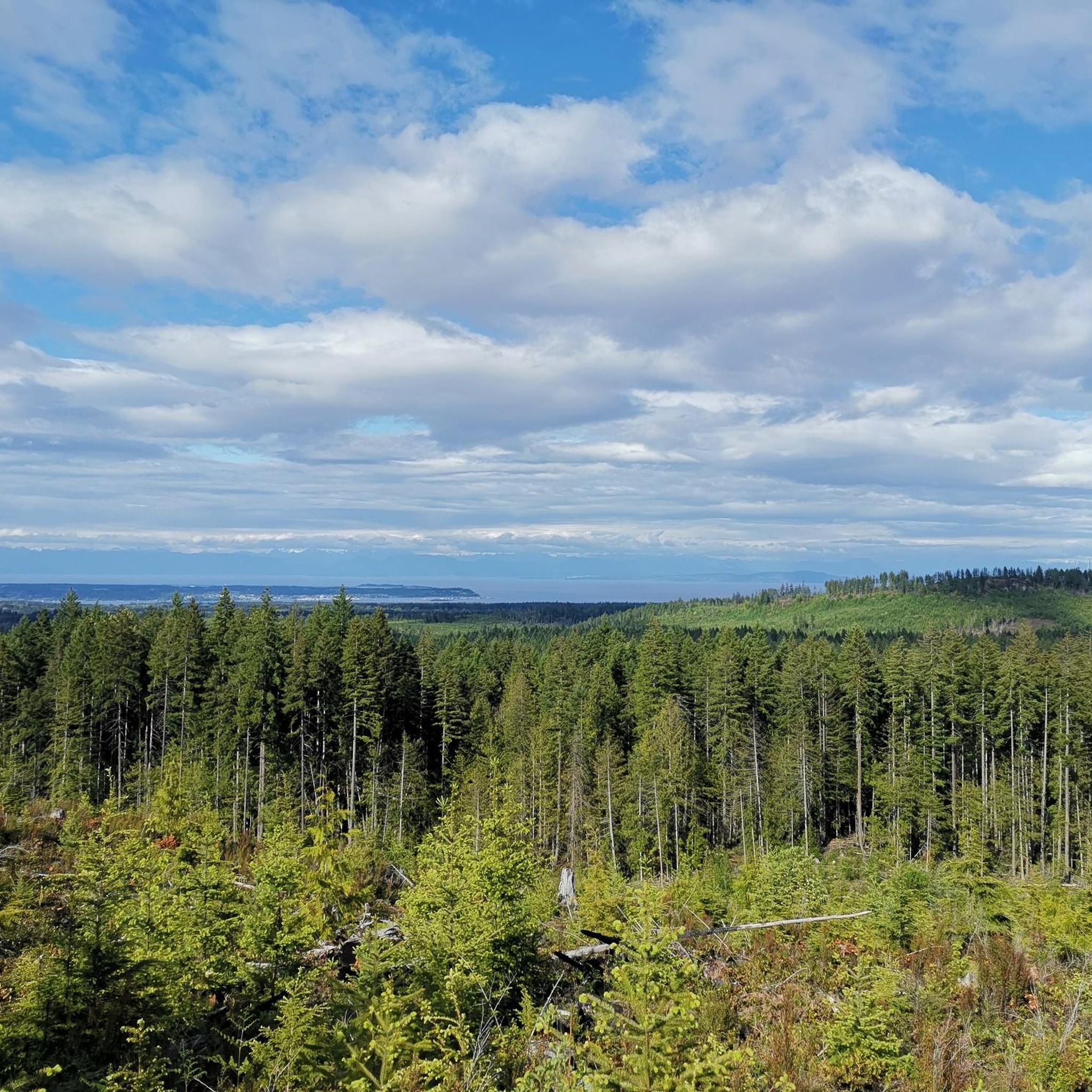

Tips from the Community

Great place to fuel up pre or post ride.
0
0
Highly recommend a visit to Cumberland if you are on Vancouver Island. Great riding area!
0
0

Very beautiful area
1
0

Very nice path to take me out of Courtenay.
0
0

There are a bunch of seaplanes and other small aircraft that are usually parked along the fence opposite the Riverway Path. You can check them out as you pass by.
0
0
This path takes you through Courtenay's urban area, partially sheltered on either side by strips of greenery, between downtown and the riverfront. You share the path with cyclists, but the trail is paved and divided to ease multi-use traffic.
0
0
Frequently Asked Questions
What are Crown Land Reserves and why are they suitable for road cycling?
Crown Land Reserves are publicly owned and managed lands, often prioritizing environmental protection, heritage, and recreation. They are excellent for road cycling due to their extensive public access, diverse natural landscapes, and networks of rural roads. You'll find routes through varied terrain, from shaded forests to open spaces, and sometimes challenging hilly regions, offering constantly changing scenery.
How many road cycling routes are available in Crown Land Reserve?
There are over 10 road cycling routes documented in Crown Land Reserve on komoot, offering a range of distances and difficulty levels. These routes are highly rated by the komoot community, with an average score of 4.9 stars from more than 5 reviews.
Are there easy road cycling routes for beginners or families in Crown Land Reserve?
Yes, Crown Land Reserve offers several routes suitable for beginners or families. There are 5 easy routes available, providing a gentler introduction to road cycling in the area. These routes often traverse less challenging terrain, allowing for a more relaxed experience.
What are the typical distances for road cycling routes in Crown Land Reserve?
Route distances in Crown Land Reserve vary significantly. You can find shorter loops, such as the Cumberland Community Forest – Cumberland Village Bakery loop from Cumberland, which is about 16 miles (25.8 km). Longer routes, like the Rosewall Creek Provincial Park – Qualicum Beach Heritage Forest loop from Courtenay, can extend up to 77.2 miles (124.3 km), offering options for various fitness levels and time commitments.
Are there challenging road cycling routes for experienced cyclists?
Absolutely. For experienced cyclists seeking a challenge, Crown Land Reserve features 2 difficult routes. These routes often include significant elevation changes and longer distances, such as the Glen Urquhart Creek – Courtenay River loop from Comox, which covers over 41 miles (66.9 km) with substantial climbing, providing a demanding ride through varied terrain.
What kind of scenic views can I expect on road cycling routes in Crown Land Reserve?
Road cycling in Crown Land Reserve offers diverse scenic views. You can expect routes through extensive forests, providing shaded and serene rides. Many areas also feature waterways, and in hilly regions, you'll be rewarded with panoramic vistas of valleys, meadows, and mountains, similar to the impressive landscapes found in areas like the Crown-Zellerbach Trail or the Crown Rec Area in Colorado.
Are there circular road cycling routes available?
Yes, many of the road cycling routes in Crown Land Reserve are designed as loops, allowing you to start and end at the same point. Examples include the popular Willemar Bluff – Robb Bluff loop from Cumberland and the Cumberland Community Forest – Courtenay Airpark loop from Cumberland, which offer comprehensive tours of the region's landscapes.
What is the best season for road biking in Crown Land Reserve?
While specific conditions can vary, the diverse landscapes of Crown Land Reserves, including forests and open areas, generally make spring through autumn ideal for road cycling. During these seasons, you can enjoy comfortable temperatures and lush scenery. Always check local weather conditions before heading out.
What should I bring for road biking in Crown Land Reserve?
Given the varied terrain and potential for longer routes, it's advisable to bring essentials such as sufficient water, snacks, a repair kit, and appropriate clothing for changing weather conditions. A helmet is always recommended for safety. For navigation, using a reliable GPS device or the komoot app is helpful, especially on less-trafficked rural roads.
Where can I find information about parking for road biking routes?
Parking availability can vary depending on the specific starting point of each route within Crown Land Reserve. Many routes that begin in or near towns like Cumberland or Courtenay will have designated parking areas. For routes in more remote Crown Land sections, look for information on local access points or trailheads, as parking might be less formal. Always check route details on komoot or local signage for specific recommendations.
What do other road cyclists enjoy most about road cycling in Crown Land Reserve?
The area is highly rated by the komoot community, with an average score of 4.9 stars. Reviewers often praise the diverse terrain, from extensive forests to varied hilly sections, and the accessibility of rural roads that allow for scenic rides away from heavy traffic. The comprehensive nature of routes like the Willemar Bluff – Robb Bluff loop is frequently highlighted for offering a full experience of the region.
Most popular routes in Crown Land Reserve

Get inspired with the komoot mobile app


Explore more
Browse the best Road cycling routes in other regions.
