The best running trails in Krähe
4.3
(141)
2,095
runners
225
runs
Jogging in Krähe, Germany, offers a diverse landscape characterized by mountainous terrain within the Ammergau Alps. The region features wild valleys, narrow paths, and varied forest trails, providing a challenging environment for trail running. Streams and waterfalls, such as the Köllebach, enhance the scenic beauty, while some routes include steeper sections and forest roads. The area is known for its natural features, including the "Felsen-Fensterl" rock formation.
Best jogging routes in Krähe
- The most popular jogging route is Bunkenmoor loop…
Last updated: July 25, 2026
4.8
(4)
33
runners
6.09km
00:40
30m
30m
Moderate run. Good fitness required. Mostly paved surfaces. Suitable for all skill levels.
5
runners
9.30km
01:02
50m
50m
Moderate run. Good fitness required. Mostly paved surfaces. Suitable for all skill levels.

Sign up for free
4.0
(1)
3
runners
16.7km
01:46
50m
40m
Hard run. Very good fitness required. Mostly paved surfaces. Suitable for all skill levels.
10
runners
Hard run. Very good fitness required. Mostly paved surfaces. Suitable for all skill levels.
12
runners
8.52km
00:54
10m
10m
Moderate run. Good fitness required. Mostly paved surfaces. Suitable for all skill levels.
Get access to more routes and recommendations from other explorers.
Sign up for free
Already have an account?
Our route recommendations are based on thousands of hikes, rides, and runs completed by other people on komoot.
Start today with a free account
Your next adventure awaits.
Login or Signup
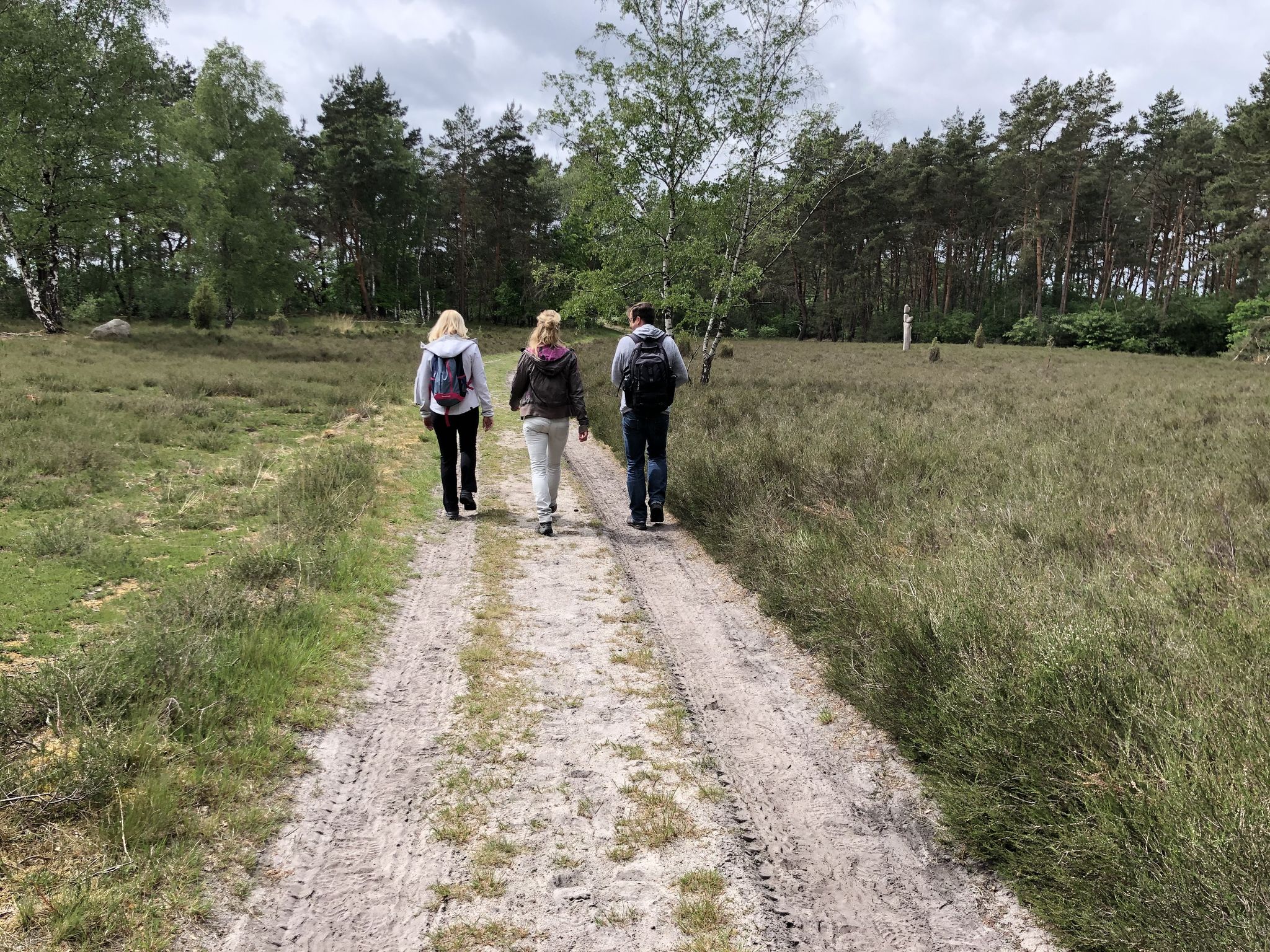
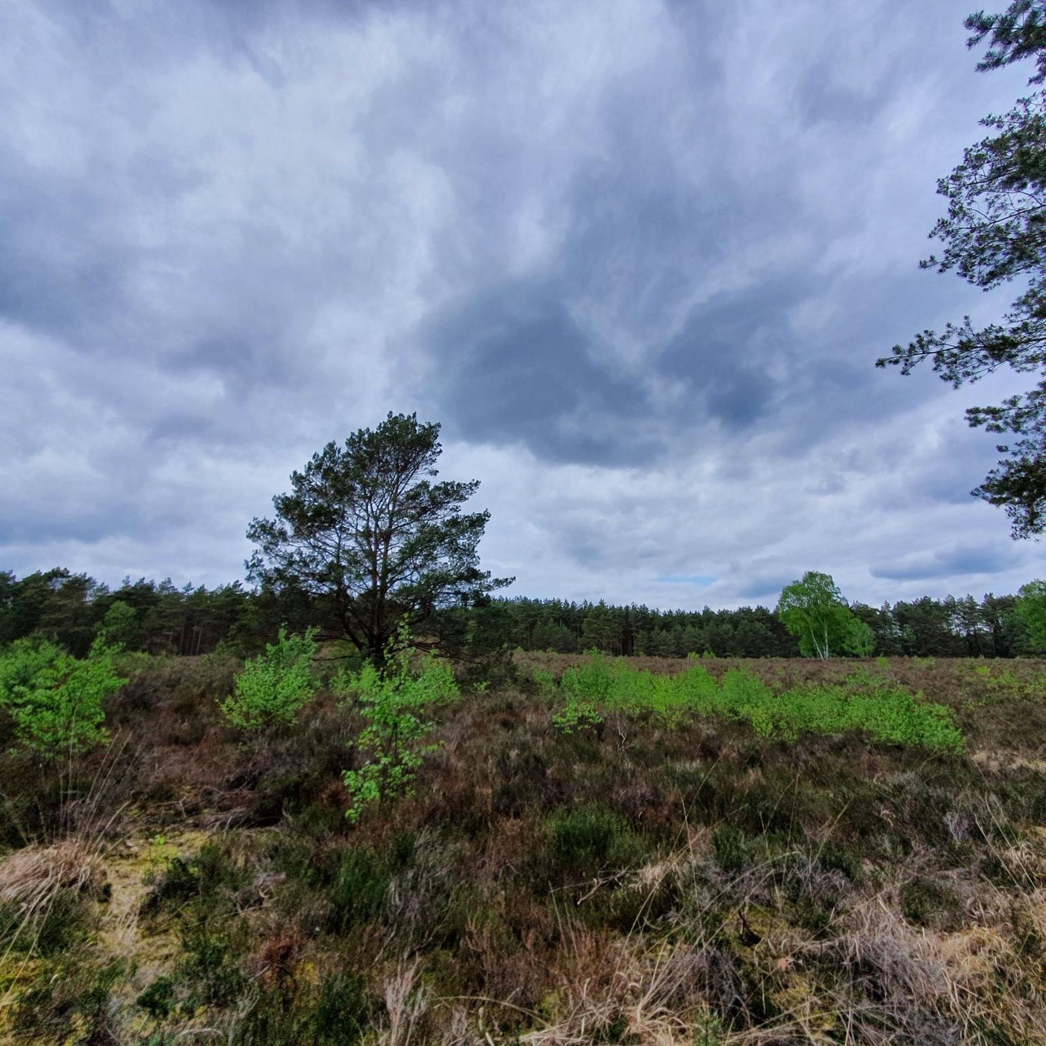
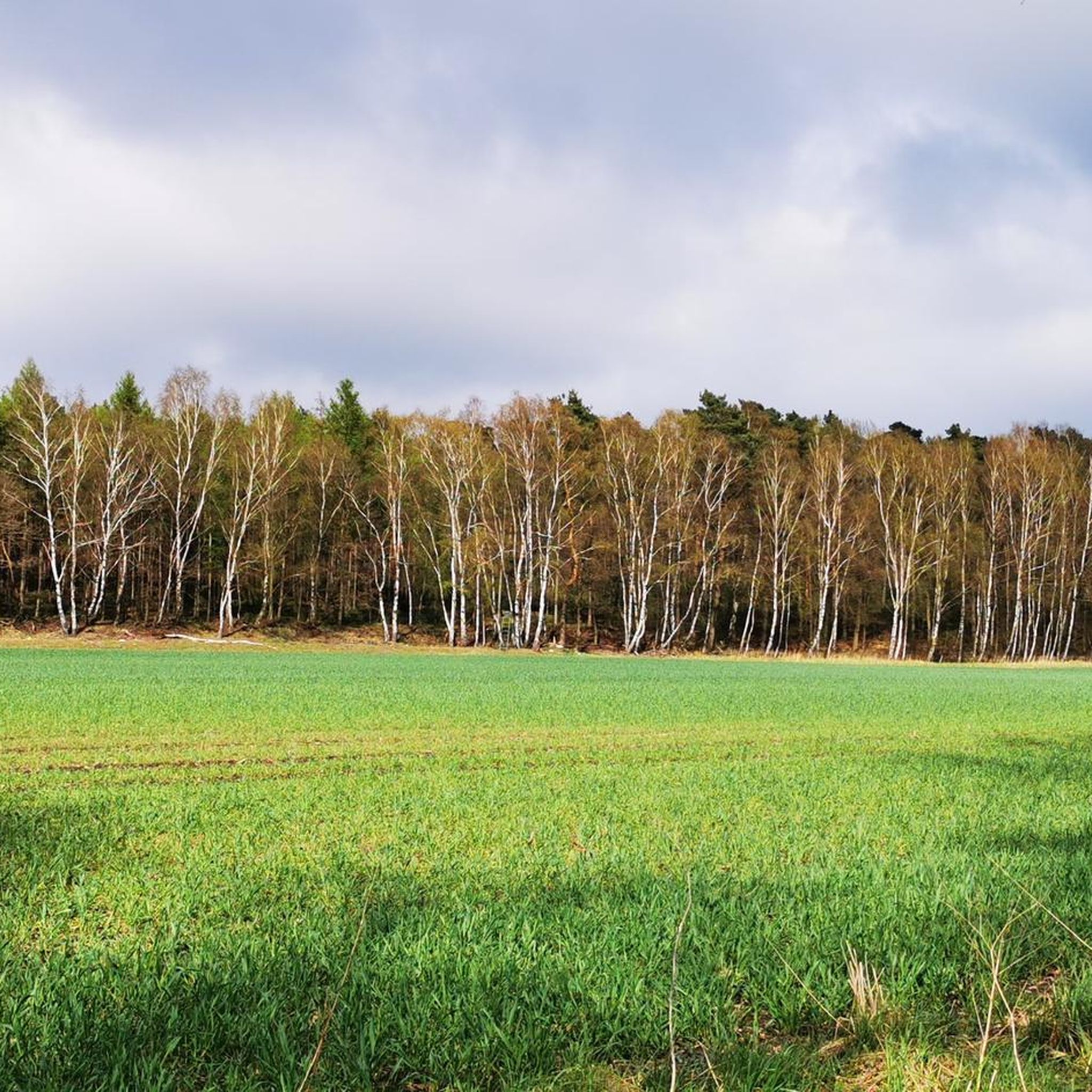
Other adventures in Krähe

Tips from the Community

@DakenH There were/are also eel slugs on the Rhine. One is located (used for scientific purposes) in the Rhine near Rees.
5
2

Great view of the Weser.
4
2

A beautiful church in the small town of Heemsen
1
0

Quite ok for a break. Wouldn't be a highlight for me now.
2
0

Beautiful view; if you linger for a while, you can hear the water flowing past the boat. It's an eel sluice. I wasn't familiar with the name before, but Komoot, among other things, piques interest in the things you see and experience on the tour. 😉 The eel sluices are located on the Weser River just north of the Drakenburg town center, near the property of the Dobberschütz fishing family. There's another eel sluice further downstream. https://www.mittelweser-tourismus.de/poi/aalschokker-drakenburg-1/
8
1

The Evangelical Lutheran St. Michaelis Church is located in Heemsen, a municipality in the Nienburg/Weser district in Lower Saxony. The parish belongs to the Nienburg parish in the Hanover district of the Evangelical Lutheran Regional Church of Hanover. It is the second largest church in the Nienburg church district after the Nienburg St. Martin's Church. https://de.wikipedia.org/wiki/St.-Michaelis-Kirche_(Heemsen)
1
0
The Evangelical Lutheran St. Michaelis Church is in Heemsen, a municipality in the district of Nienburg/Weser in Lower Saxony. The parish belongs to the church district of Nienburg im Sprengel Hannover of the Evangelical Lutheran Church of Hanover. It is the second largest church in the church district of Nienburg after the St. Martin's Church in Nienburg. https://de.wikipedia.org/wiki/St.-Michaelis-Kirche_(Heemsen)
1
0
Rohrsen is a municipality in the joint municipality of Heemsen, district of Nienburg/Weser; Lower Saxony. Rohrsen is the seat of the joint municipal administration. https://de.wikipedia.org/wiki/Rohrsen
1
0
Frequently Asked Questions
How many running routes are available in Krähe?
Krähe offers a wide selection of running routes, with over 240 trails available for exploration. These routes cater to various fitness levels, from moderate forest paths to more challenging trail running sections.
Are there easy or beginner-friendly jogging routes in Krähe?
Yes, Krähe provides options for all skill levels. While the region is known for its mountainous terrain, there are 36 routes classified as easy, perfect for beginners or those looking for a less strenuous run. These often include initial forest roads near areas like the Ammerwaldalm.
What kind of terrain can I expect on the jogging routes in Krähe?
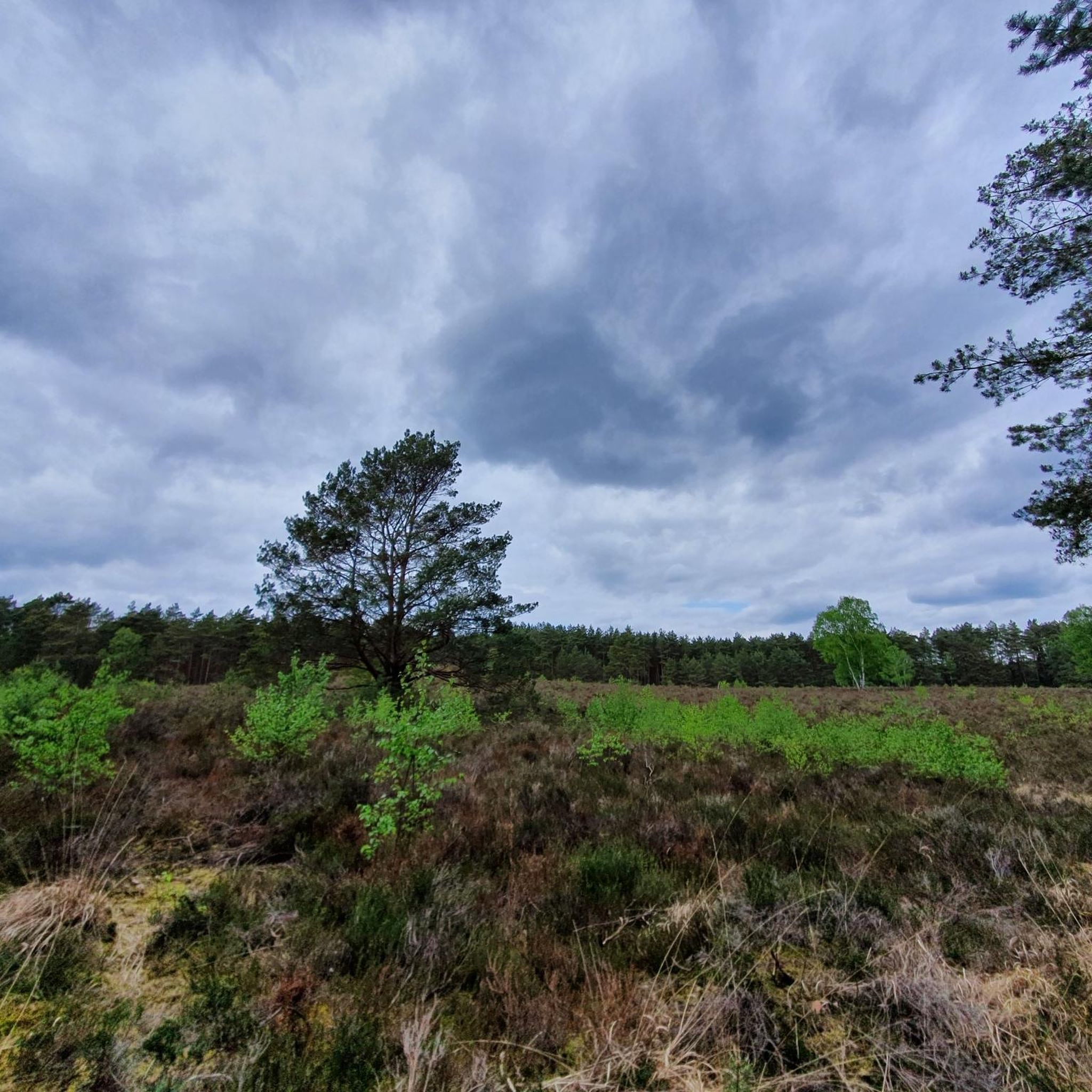
The terrain in Krähe is diverse and engaging. You'll encounter mountainous landscapes, wild valleys, and varied forest paths. Some sections feature narrow trails, steeper inclines, and even stream crossings, making it ideal for trail running. Be prepared for uneven surfaces and elevation changes.
What are some scenic highlights or natural features I might see while running in Krähe?
Krähe boasts stunning natural beauty. Runners can enjoy panoramic views overlooking the Lechtaler Alpen and the impressive Zugspitze massif. Keep an eye out for idyllic waterfalls and picturesque mountain streams like the Köllebach. A unique natural attraction is the "Felsen-Fensterl," a hole in a rock formation offering spectacular northern views. You might also pass by natural monuments such as the Giebichenstein Boulder or the serene Stöckser Lake.
Are there any circular running routes in Krähe?
Yes, many routes in Krähe are designed as loops, offering convenient starting and ending points. For example, the Bunkenmoor loop from Landkreis Nienburg/Weser is a popular 6.1 km circular trail, and the Bunkenmoor loop from Stöckse offers a longer 9.2 km scenic experience.
What is the best time of year to go jogging or trail running in Krähe?
The best time for jogging and trail running in Krähe is typically from late May until the onset of winter. During these months, the weather is generally more favorable, and the trails are free from snow and ice, which can make routes dangerous. Always check local conditions before heading out.
What should I wear or bring for running in Krähe?
Given the varied and often challenging terrain, it's important to be prepared. We recommend wearing appropriate footwear with good grip for uneven surfaces, as some paths require sure-footedness. Layers of clothing are advisable to adapt to changing mountain weather, and consider bringing water and snacks, especially for longer routes.
Are there any running routes that pass through nature reserves or protected areas?
Yes, Krähe features routes that take you through beautiful natural areas. You can find trails that lead through the Bunkenmoor Nature Reserve or the Krähenmoor II Nature Reserve, offering a chance to experience the region's unique flora and fauna. These areas provide a serene backdrop for your run.
What do other runners say about the trails in Krähe?
The running routes in Krähe are highly regarded by the komoot community, holding an impressive average rating of 4.3 stars from over 100 reviews. Runners often praise the diverse landscapes, the physical challenge, and the continuous visual rewards, from dense forests to panoramic summit views.
Are there any longer, more challenging running routes for experienced trail runners?
Absolutely. For experienced trail runners seeking a significant challenge, Krähe offers 29 routes classified as difficult. An example is the St. Michael's Church, Heemsen – Old School Rohrsen loop from Erichshagen-Wölpe, a 15 km trail that leads through varied and demanding landscapes, often completed in about 1 hour 35 minutes. These routes often involve considerable elevation gain and require sure-footedness.
Are the running routes in Krähe suitable for families?
While many routes in Krähe offer challenging mountainous terrain, there are also easier sections and forest roads that can be suitable for families, especially those with older children who are accustomed to outdoor activities. Look for the 36 routes classified as 'easy' for more family-friendly options, which typically have less elevation gain and smoother paths.
Where can I find parking for the running routes in Krähe?
Many routes in Krähe, particularly those starting near popular areas like the Ammerwaldalm, offer convenient parking options. Specific parking details are usually available on individual route pages on komoot, so it's best to check the tour details for your chosen route before you go.
Most popular routes in Krähe
Most popular attractions in Krähe

Get inspired with the komoot mobile app


Explore more
Browse the best Running Trails & Routes in other regions.
