The best cycling routes around Gilserberg
4.5
(86)
441
riders
52
rides
Touring cycling around Gilserberg offers routes through diverse landscapes on the edge of the Hessian mountains. The region is characterized by a mix of forests, rolling hills, and valleys, with numerous rivers and streams. It is part of the Kellerwald-Edersee Nature Park, providing varied terrain for cyclists. Elevations like the Wüstegarten, at 675 meters, offer panoramic views of the surrounding countryside.
Best touring cycling routes around Gilserberg
- The most popular touring cycling route is View of Kellerwald – Schönstein Ruins…
Last updated: July 19, 2026
4.9
(21)
54
riders
25.7km
01:57
300m
300m
Moderate bike ride. Good fitness required. Mostly paved surfaces. Suitable for all skill levels.
5.0
(4)
21
riders
Moderate bike ride. Good fitness required. Mostly paved surfaces. Suitable for all skill levels.

Sign up for free
3.0
(7)
16
riders
110km
07:20
1,150m
1,150m
Hard bike ride. Very good fitness required. Mostly paved surfaces. Suitable for all skill levels.
4.0
(2)
18
riders
Moderate bike ride. Good fitness required. Mostly paved surfaces. Suitable for all skill levels.
4.0
(2)
12
riders
28.0km
02:08
410m
410m
Moderate bike ride. Good fitness required. Mostly paved surfaces. Suitable for all skill levels.
Get access to more routes and recommendations from other explorers.
Sign up for free
Already have an account?
Our route recommendations are based on thousands of hikes, rides, and runs completed by other people on komoot.
Start today with a free account
Your next adventure awaits.
Login or Signup
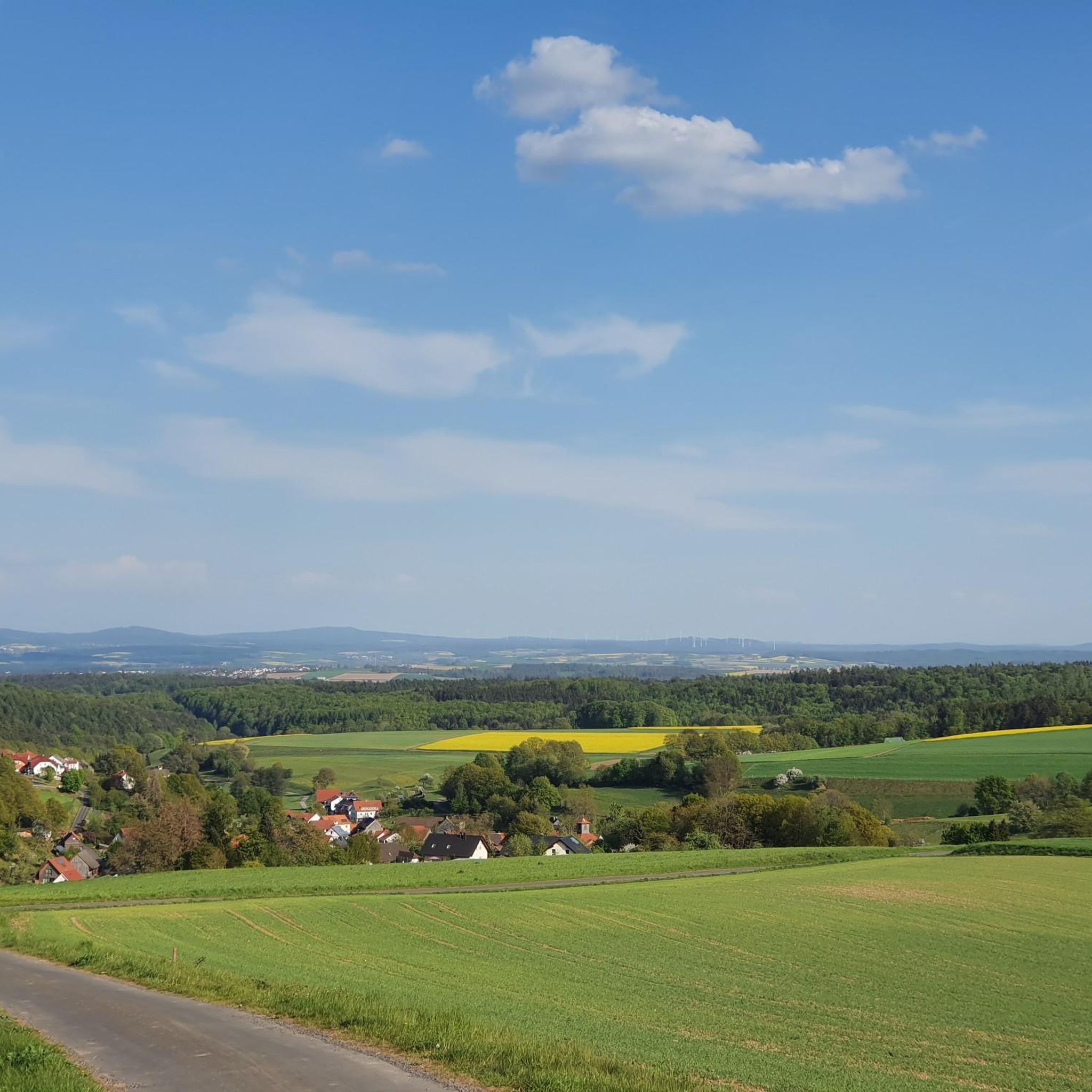
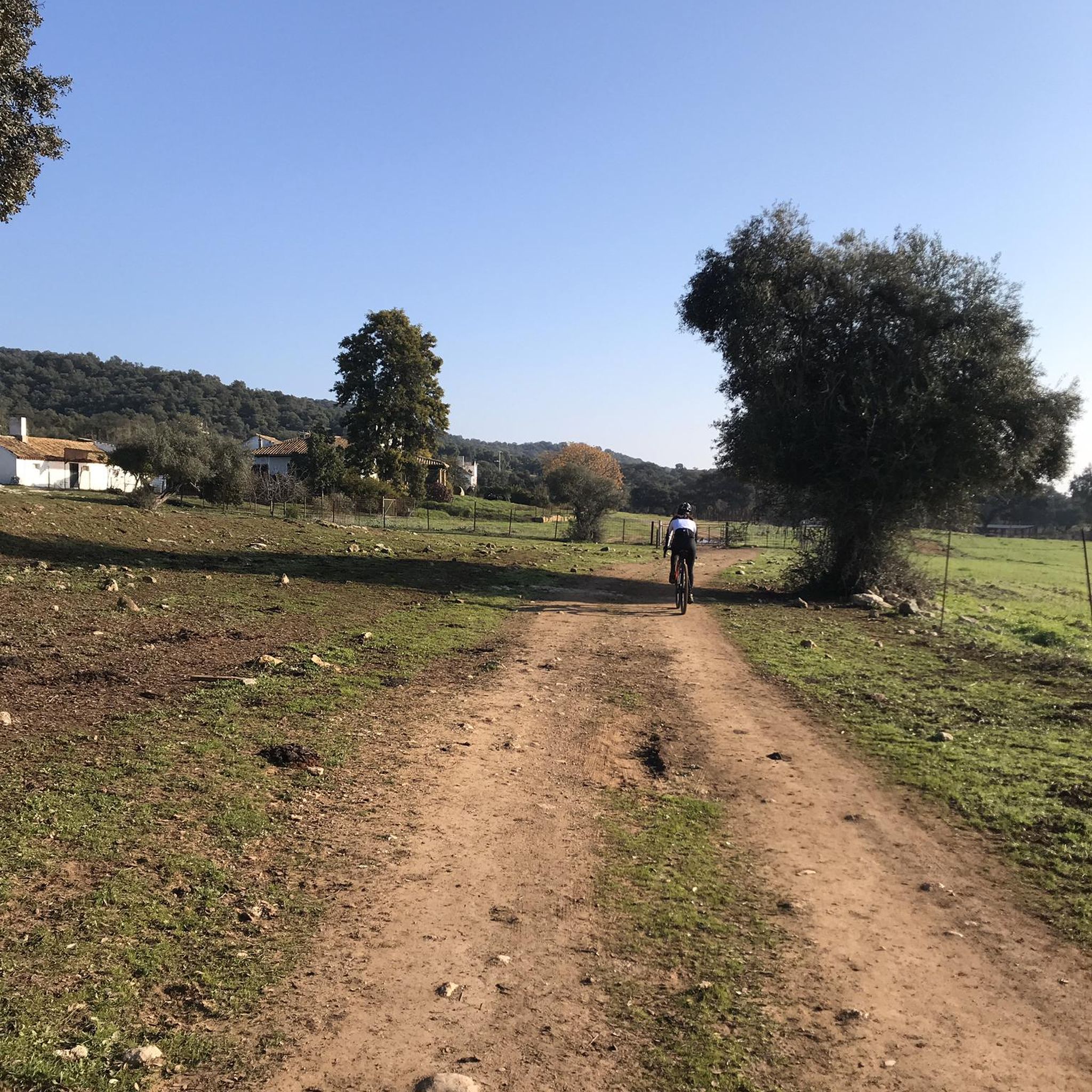
Other adventures around Gilserberg

Tips from the Community

From the Lahn you can get a view of the castle and the old town of Marburg. Hopefully, this will make you want to take a closer look at the alleys and half-timbered houses of this beautiful city.
0
0

The old town of Treysa is very compact, but offers numerous sights, most notably the Church of the Dead.
3
0

Lahnweie - Nice place to stop for a short while
0
0

No water in sight, but a huge dam is visible. A few cars can also park there.
0
0
Stop for a moment and read the text, interesting.
0
0
Visibility is very limited for drivers, which is why push bar barriers are necessary. It's best to approach the road with caution.
0
0

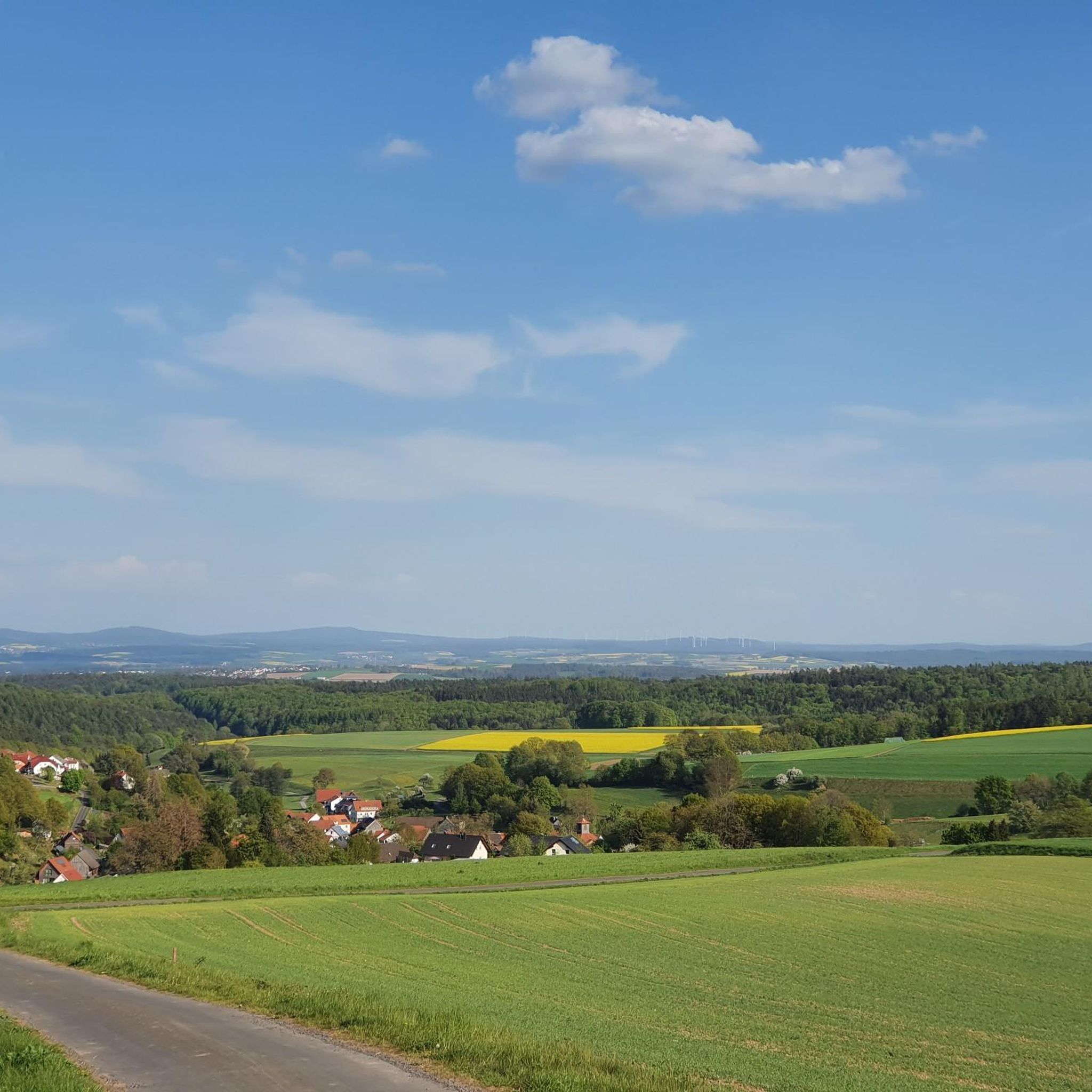
Simply wonderful during rapeseed blossom
0
0

The line opened on May 1, 1914, and closed on December 19, 1981. The single-track Kirchhain–Gemünden railway, also known as the Wohra Valley Railway, was a branch line in Hesse. It branched off from the Kassel–Frankfurt railway in Kirchhain and ran along the Wohra River to Gemünden, where the Kellerwald Railway joined the line to Zimmersrode, which is also on the Main-Weser Railway. This provided a diversion to the Main-Weser Railway between Zimmersrode and Kirchhain. Source: de.wikipedia.org/wiki/Bahnstrecke_Kirchhain%E2%80%93Gem%C3%BCnden
4
0
Frequently Asked Questions
How many touring cycling routes are available around Gilserberg?
There are over 50 touring cycling routes around Gilserberg listed on komoot, with 22 considered moderate and 26 difficult. The region itself boasts a network of 55 community-created cycling routes covering a total of 2,842 kilometers, catering to various preferences including gravel biking, road biking, and trekking.
Are there any easy touring cycling routes suitable for beginners in Gilserberg?
Yes, while many routes offer a moderate to difficult challenge, there are a few easier options. The region's network includes paths along the tranquil Schwalm River, which are generally more relaxed. For a moderate option, consider the Schönstein Castle Ruins – View of Kellerwald loop from Gilserberg, which is 25 km long and takes about 1 hour 50 minutes.
What kind of landscapes can I expect to see on a touring cycling route in Gilserberg?
Touring cycling in Gilserberg offers diverse landscapes, from dense forests and rolling hills to picturesque river valleys. You'll cycle through parts of the Kellerwald-Edersee Nature Park, known for its unique beauty, and encounter numerous rivers and streams. The area is characterized by its blend of idyllic scenery and varied terrain.
Are there any circular touring cycling routes in Gilserberg?
Yes, many of the touring cycling routes in Gilserberg are designed as loops. For example, the popular View of Kellerwald – Schönstein Ruins loop from Gilserberg is a 39.9 km trail offering views of the Kellerwald and passing historic ruins. Another option is the Path Along the Urff – Bergfreiheit Wave Geological Formation loop from Schönstein, a moderate 27.9 km path.
What are some notable viewpoints or landmarks along the cycling routes?
The Gilserberg region offers several impressive viewpoints and landmarks. You can find panoramic vistas from the Kellerwald Tower on the Wüstegarten, the highest elevation in the Kellerwald-Edersee region, or the Hunburg Tower. Additionally, routes may pass by historical sites like the Schönstein Former Ironworks or the Summit Cross on Exhelmer Stein, a unique natural attraction.
What is the best time of year for touring cycling in Gilserberg?
The region is excellent for touring cycling during the warmer months, particularly in spring, summer, and autumn when the landscapes are vibrant and the weather is generally favorable. Cycling along the Schwalm River is especially enjoyable in summer. While some trails might be accessible in winter, the primary season for touring cycling is outside of heavy snow periods.
Are there any family-friendly cycling options in Gilserberg?
Yes, the extensive network of cycling paths includes options suitable for families. The rural and tranquil Wiera-Wohra Cycle Path is a good example of a route that offers a more relaxed experience. For a moderate family adventure, consider the Hatzbach Witches' Dance Ground – Mooshäuschen Shelter loop from Kalkkuppen bei Winterscheid, which is 33.6 km long.
What do other touring cyclists enjoy most about Gilserberg?
The touring cycling routes around Gilserberg are highly rated by the komoot community, with an average score of 4.6 stars from over 80 reviews. Cyclists often praise the diverse terrain, the beautiful views of the Kellerwald, and the well-maintained paths that lead through dense forests and rolling hills. The variety of routes, from tranquil river paths to more challenging climbs, is also frequently highlighted.
Are there any lakes or water features to see along the touring cycling routes?
Yes, the region around Gilserberg features numerous rivers, lakes, and streams. You might encounter highlights such as the Seegerteich Hut and Seegerteich, Georgsteich, or the Water-lily Ponds in Bracht. The Emsdorf Ponds Nature Reserve also offers a chance to see unique water-related natural features.
Is it possible to access the cycling routes using public transport in Gilserberg?
While the region is well-equipped for cycling, specific public transport connections directly to trailheads can vary. Gilserberg is part of the Schwalm-Eder district, which has some regional bus services. It's advisable to check local public transport schedules for connections to Gilserberg and nearby villages to plan your access points.
Where can I find parking for touring cycling routes in Gilserberg?
Parking is generally available in Gilserberg and the surrounding villages, often near town centers or designated trailheads. Given the extensive network of community-created routes, local municipalities usually provide facilities for visitors. Look for parking areas in Gilserberg itself or in starting points like Schönstein or Sebbeterode.
Most popular routes around Gilserberg
Most popular attractions around Gilserberg

Get inspired with the komoot mobile app


Explore more
Browse the best Cycling routes in other regions.
