The best MTB trails around Gilserberg
4.4
(139)
681
riders
64
rides
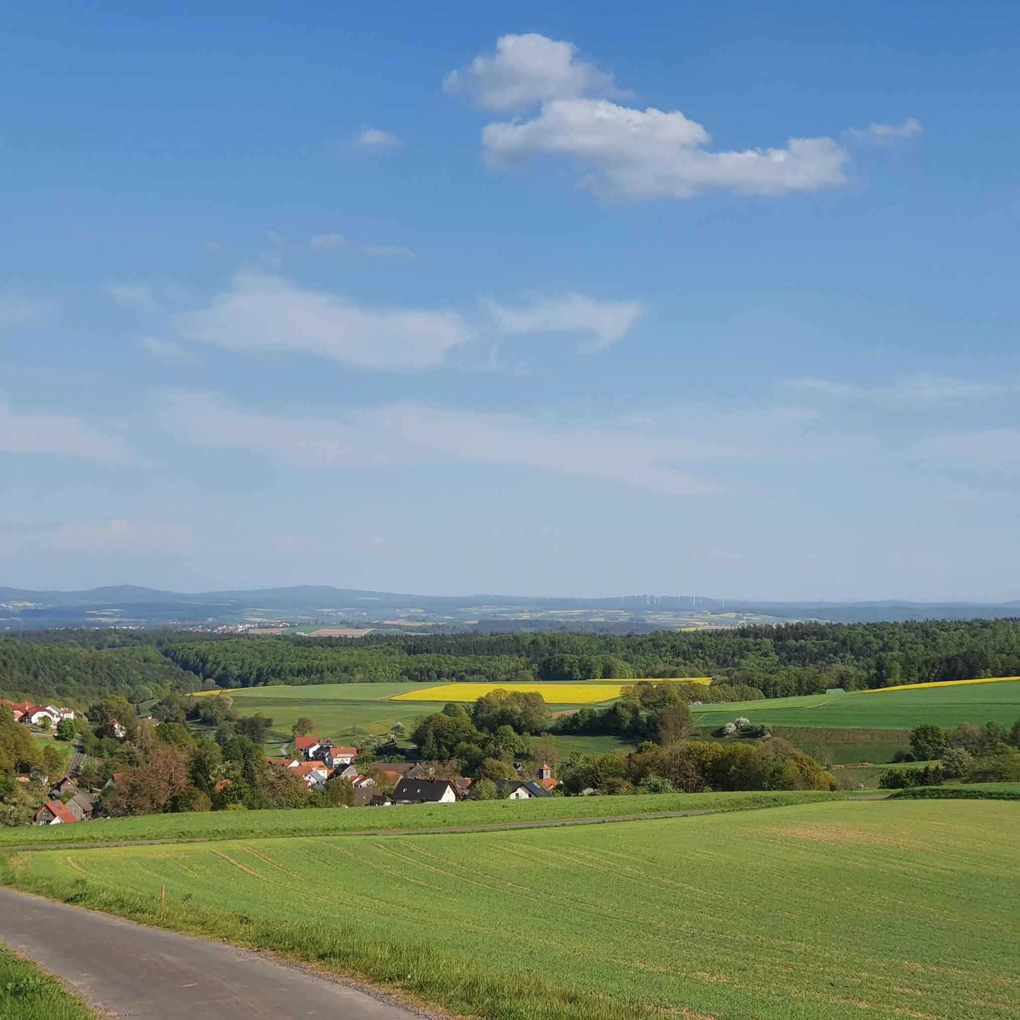
Mountain biking around Gilserberg, situated on the edge of the Hessian mountains, offers diverse landscapes for riders. The region features an abundance of forests, rolling hills, and scenic valleys, providing varied terrain for mountain bike trails. Waterways such as rivers and streams are also present, contributing to the natural environment. This area is characterized by its natural features, including the Wüstegarten, the highest mountain in the Kellerwald.
Best mountain bike trails around Gilserberg
- The most popular mountain bike trail is…
Last updated: October 20, 2026
4.6
(27)
298
riders
39.2km
03:44
870m
870m
Moderate mountain bike ride. Good fitness required. Advanced riding skills necessary.
4.4
(10)
50
riders
27.8km
02:30
480m
480m
Moderate mountain bike ride. Good fitness required. Advanced riding skills necessary.

4.2
(5)
13
riders
20.7km
01:53
400m
400m
Moderate mountain bike ride. Good fitness required.
5.0
(18)
29
riders
Moderate mountain bike ride. Good fitness required. Advanced riding skills necessary.
4
riders
12.5km
01:04
190m
190m
Easy mountain bike ride.
Get access to more routes and recommendations from other explorers.
Already have an account?
Our route recommendations are based on thousands of hikes, rides, and runs completed by other people on komoot.
Start today with a free account
Your next adventure awaits.
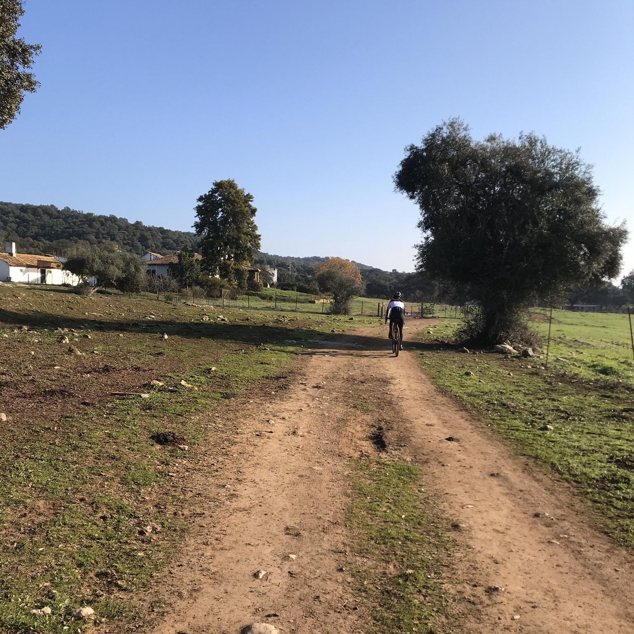
Other adventures around Gilserberg

Tips from the Community

Great view, finally Kellerwaldweg signs again!
0
0

The blue bridge for cyclists and hikers is an improvement over the previous model, on which some planks were already loose. The view of the Wetschaft's mouth into the Lahn further enhances the bridge.
1
0

Beautiful blue bridge over the Lahn, but really not a highlight.
0
1
Top crossing option for pedestrians and bikers.
0
0

very nice trail, easy to ride, recommended
0
0

The bridge is not bad but not a special highlight
2
1

Lahnweie - Nice place to stop for a short while
0
0
Frequently Asked Questions
How many mountain bike trails are available around Gilserberg?
Gilserberg offers a wide selection of mountain bike trails, with over 60 routes available for exploration. These trails cater to various skill levels, from easy paths for beginners to more challenging routes for experienced riders.
What kind of terrain can I expect on mountain bike trails in Gilserberg?
The terrain around Gilserberg is diverse, characterized by an abundance of forests, rolling hills, and scenic valleys. You'll encounter varied surfaces, from forest paths to more technical sections, often alongside rivers and streams. The region is nestled on the edge of the Hessian mountains, providing a mix of ascents and descents.
Are there any easy mountain bike trails suitable for beginners in Gilserberg?
Yes, Gilserberg has several easy mountain bike trails perfect for beginners or those seeking a relaxed ride. For example, the Schönstein Castle Ruins – Schönstein Castle Ruins loop from Gilserberg is an easy 15.2-mile (24.5 km) trail that leads through forested areas and past historic sites.
What are some challenging mountain bike routes for experienced riders in Gilserberg?
For experienced riders looking for a challenge, Gilserberg offers routes with more significant elevation changes and varied terrain. While many routes are moderate, some sections can be quite demanding. The Jeust Shelter – Schönstein Castle Ruins loop from Gilserberg is a moderate 24.9-mile (40.0 km) route with over 860 meters of elevation gain, providing a good workout.
What interesting landmarks or viewpoints can I see along the mountain bike trails in Gilserberg?
Gilserberg's trails often pass by notable landmarks and offer stunning viewpoints. You can visit the Kellerwald Tower on the Wüstegarten for expansive views, or the Hunburg Tower for a 360-degree panorama. Many routes also pass by historical sites like the Schönstein Castle Ruins.
Are there family-friendly mountain bike trails in Gilserberg?
Yes, Gilserberg offers trails suitable for families, particularly those classified as easy. These routes typically feature less challenging terrain and elevation, allowing for a more relaxed experience for all ages. The region's natural beauty, with forests and valleys, provides a pleasant backdrop for family outings.
What is the best time of year for mountain biking in Gilserberg?
The best time for mountain biking in Gilserberg is generally during the warmer months, from spring through autumn, when the trails are dry and the weather is pleasant. While some trails might be accessible in winter, conditions can be challenging due to snow or ice, especially at higher elevations like the Wüstegarten.
Are there circular mountain bike routes available in Gilserberg?
Many of the mountain bike trails around Gilserberg are designed as circular routes, allowing you to start and end at the same point. Examples include the View of Schlossberg Schönau – Schönstein Castle Ruins loop from Gilserberg, a moderate 16.5-mile (26.5 km) path, and the Jeust Shelter – View of Schönau loop from Kalkkuppen bei Winterscheid.
What do other mountain bikers say about the trails in Gilserberg?
The mountain bike trails in Gilserberg are highly regarded by the komoot community, with an average rating of 4.3 stars from over 100 reviews. Riders often praise the diverse landscapes, the mix of forest paths and scenic views, and the variety of routes catering to different skill levels.
Where can I find parking for mountain bike trails in Gilserberg?
Parking is generally available at various trailheads and starting points around Gilserberg. Specific parking information can often be found on individual route pages or local tourism resources. Many routes, being loops, are designed to be accessible from common starting points within or near the town.
Are there any mountain bike trails that pass by castles or historical sites?
Yes, several mountain bike trails in Gilserberg incorporate historical sites. For instance, routes like the Jeust Shelter – Schönstein Castle Ruins loop from Gilserberg pass directly by the historic Schönstein Castle Ruins, offering a blend of natural beauty and cultural exploration.
Can I find trails with significant elevation gain for a challenging ride?
Absolutely. Gilserberg, being on the edge of the Hessian mountains, offers trails with notable elevation gains. The Jeust Shelter – Schönstein Castle Ruins loop from Gilserberg, for example, features over 860 meters of ascent, providing a demanding ride through the rolling hills and forests.
Most popular routes around Gilserberg
Most popular attractions around Gilserberg

Get inspired with the komoot mobile app


Explore more
Browse the best MTB trails in other regions.
