The best mountain hikes around Jelenia Góra
4.6
(371)
2,129
hikers
79
hikes
Mountaineering routes around Jelenia Góra are situated in the Jelenia Góra Valley, at the foot of the Karkonosze Mountains, and surrounded by the Izera, Kaczawskie, and Rudawy Janowickie ranges. The region features diverse landscapes, including high mountain terrain with peaks like Śnieżka, granite rock formations in areas such as Rudawy Janowickie and Sokoliki, and picturesque valleys. These areas offer varied elevation gains and terrain, from forested slopes to exposed rock faces. The natural features provide a range of mountaineering experiences,…
Last updated: October 7, 2026
4.8
(13)
72
hikers
4.91km
01:41
250m
250m
Easy mountaineering route. Great for any fitness level. Easily-accessible paths. Suitable for all skill levels.
5.0
(3)
22
hikers
Hard mountaineering route. Very good fitness required. Easily-accessible paths. Suitable for all skill levels.

5.0
(3)
18
hikers
18.2km
05:24
540m
540m
Hard mountaineering route. Very good fitness required. Easily-accessible paths. Suitable for all skill levels.
5.0
(3)
19
hikers
11.2km
03:47
590m
590m
Moderate mountaineering route. Good fitness required. Easily-accessible paths. Suitable for all skill levels.
5.0
(7)
19
hikers
21.5km
07:27
1,130m
1,130m
Hard mountaineering route. Very good fitness required. Sure-footedness, sturdy shoes and alpine experience required.
5.0
(1)
20
hikers
5.26km
01:47
250m
250m
Easy mountaineering route. Great for any fitness level. Easily-accessible paths. Suitable for all skill levels.
13
hikers
16.9km
04:51
390m
390m
Moderate mountaineering route. Good fitness required. Easily-accessible paths. Suitable for all skill levels.
5.0
(1)
7
hikers
21.5km
07:13
1,010m
1,010m
Hard mountaineering route. Very good fitness required. Mostly accessible paths. Sure-footedness required.
1.0
(1)
3
hikers
8.06km
02:36
340m
340m
Moderate mountaineering route. Good fitness required. Easily-accessible paths. Suitable for all skill levels.
1.0
(1)
2
hikers
7.09km
02:14
270m
270m
Moderate mountaineering route. Good fitness required. Easily-accessible paths. Suitable for all skill levels.
Get access to more routes and recommendations from other explorers.
Already have an account?
Our route recommendations are based on thousands of hikes, rides, and runs completed by other people on komoot.
Start today with a free account
Your next adventure awaits.
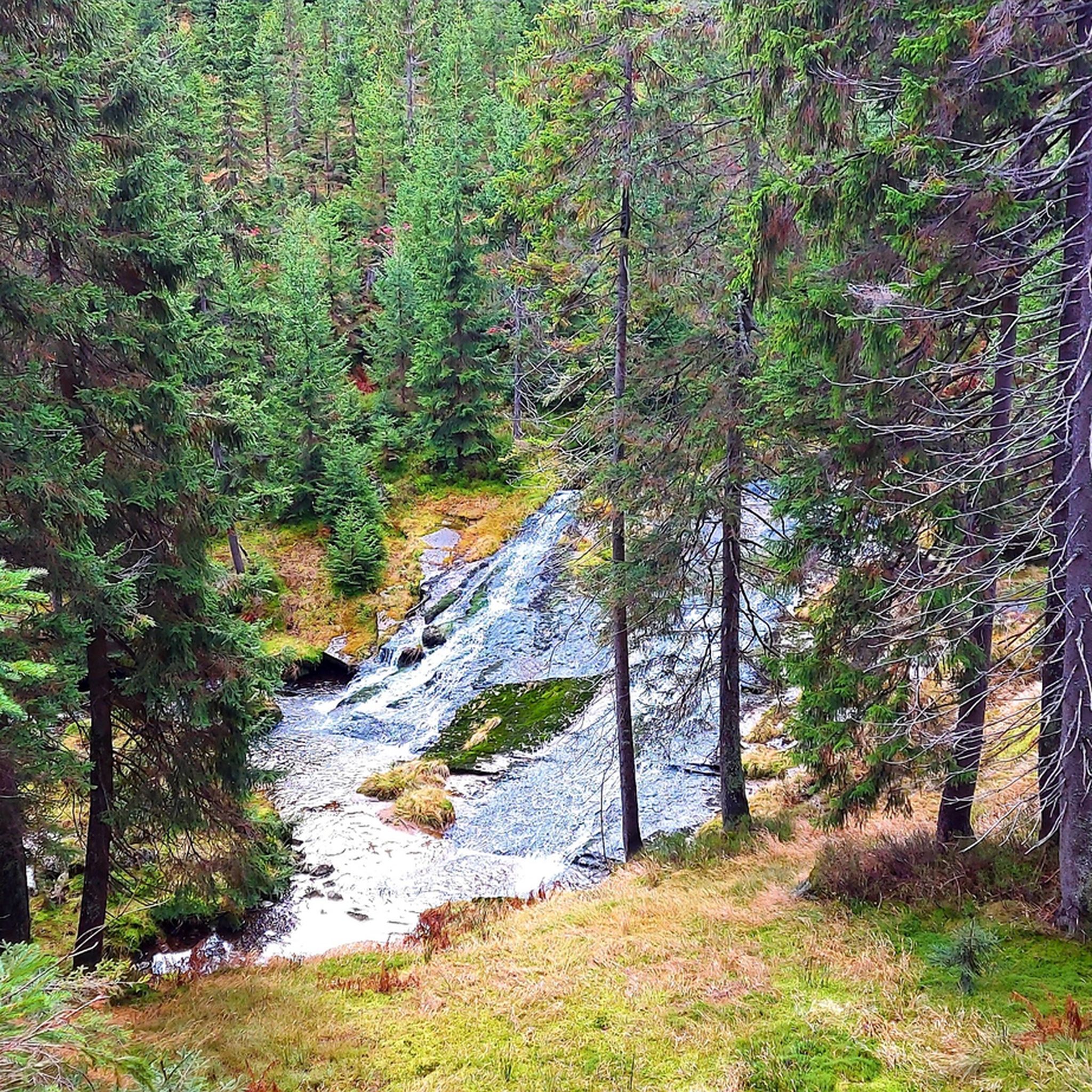
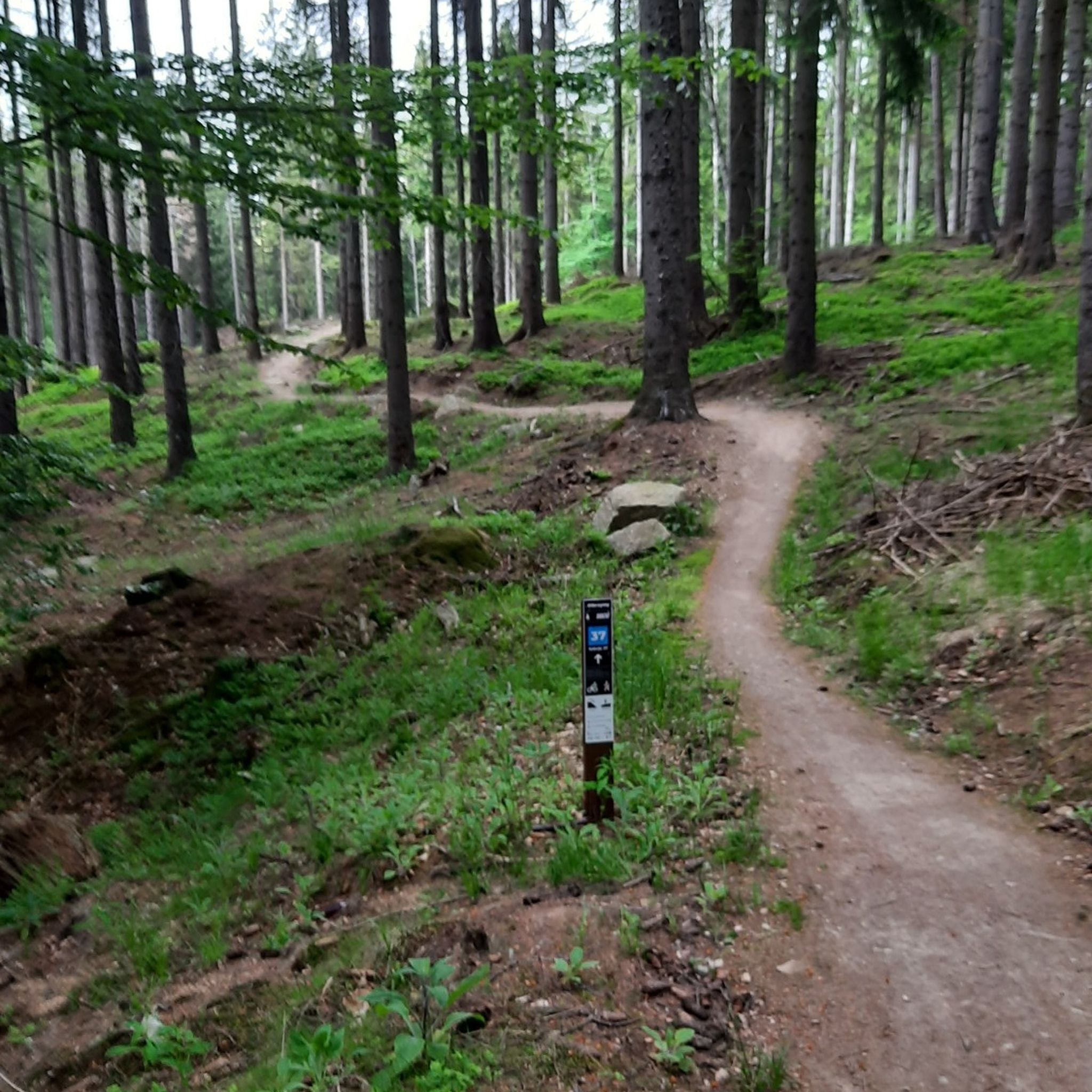
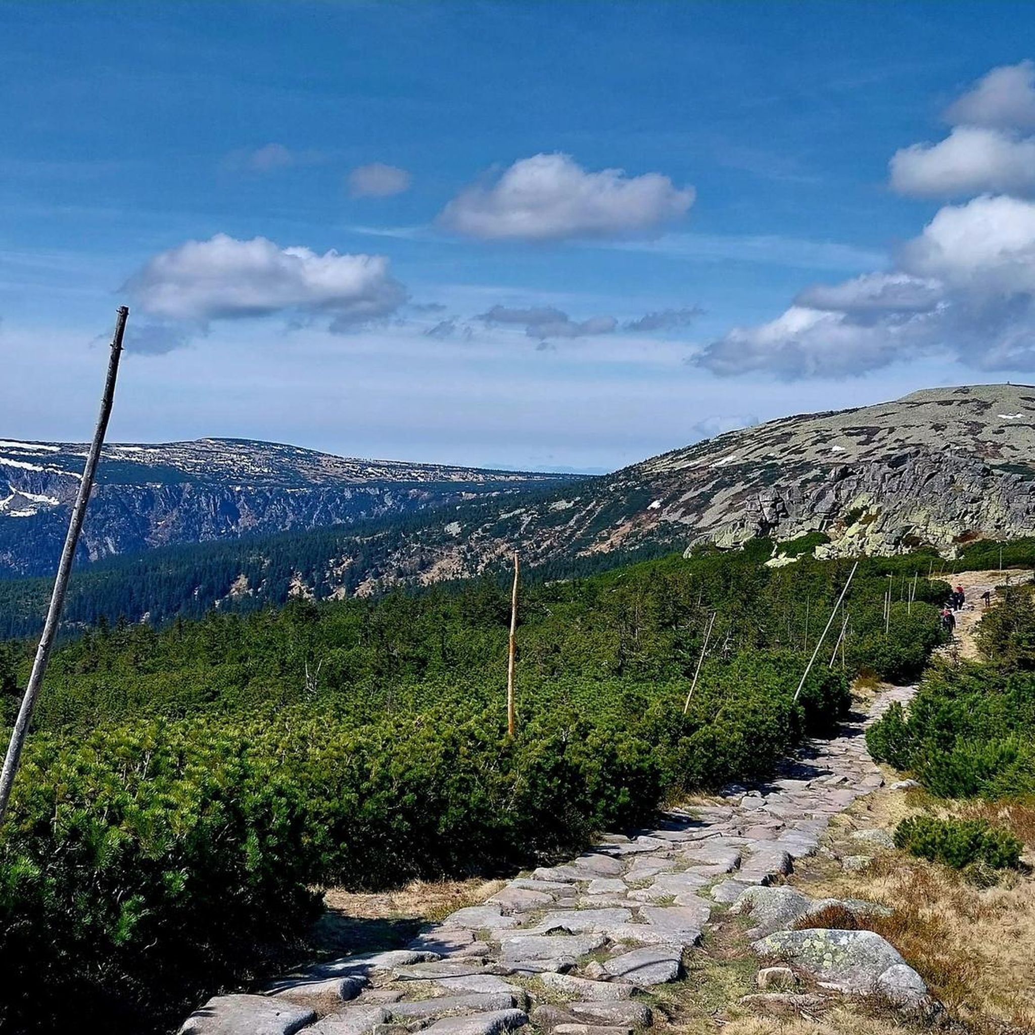
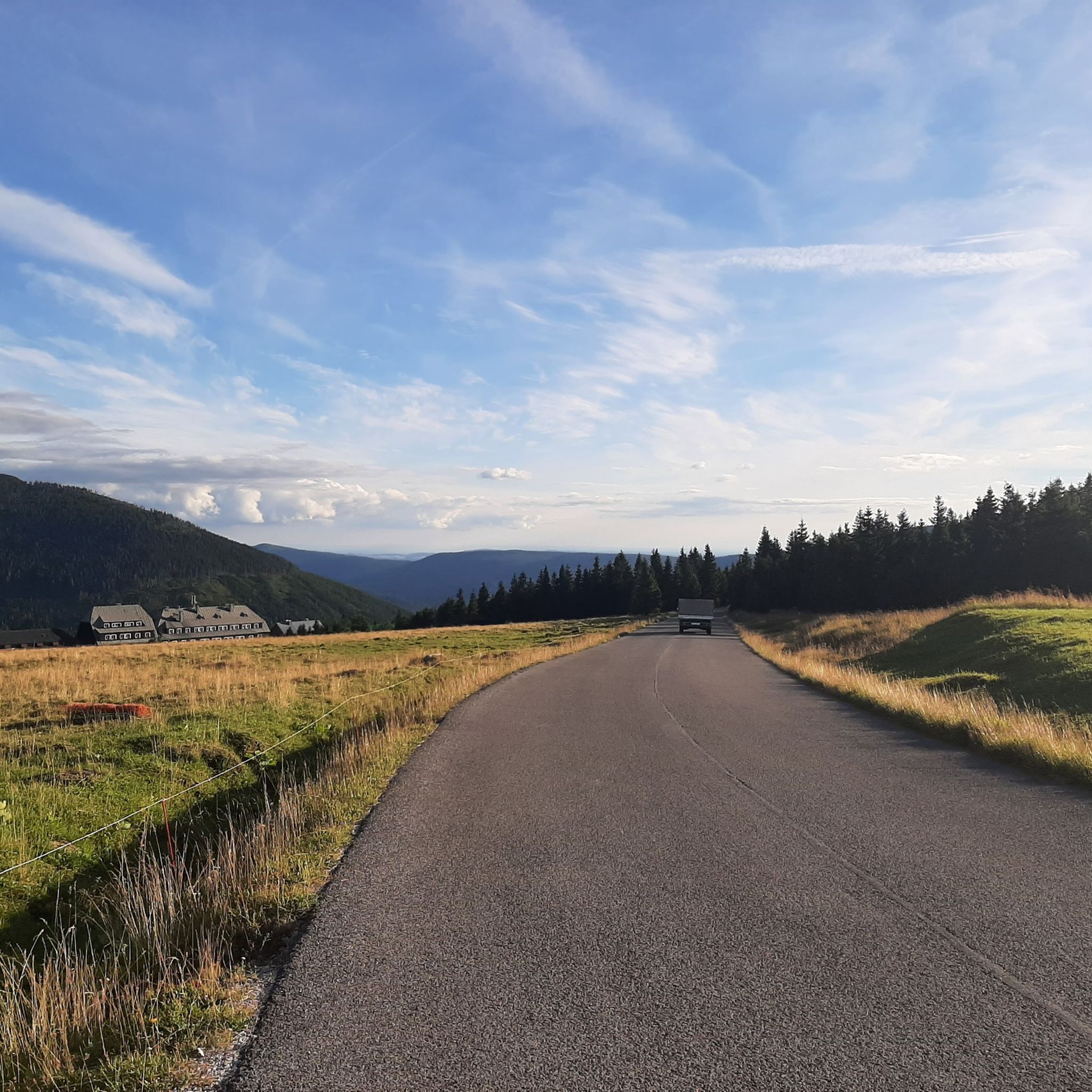

Tips from the Community

At this altitude, you have to consider the weather. The wind blows with full force up here without any trees.
0
0

The Luční bouda (German: Wiesenbaude) is a mountain hut in the Czech part of the Giant Mountains (Karkonosze). The hut is located on the Witte Weiße Wiese, in the catchment area of the Bílé Labe (Weißwasser) river, at an altitude of 1410 meters above sea level, 3 kilometers west of Śnieżka (Schneekoppe) and approximately 500 meters south of the Polish-Czech border. The plateau lies between the main mountain ridge in the north and the Bohemian Kamm, with Luční hora (Hochwiesenberg) and Studniční hora (Brunnberg) in the south. The hut is located in Zone 1 of the Giant Mountains National Park and is not accessible by motorized transport.
0
0
Mały Staw (literally: Small pond) is the smallest of two lakes in a cirque on the Polish side of the Karkonosze Mountains in the Lower Silesian Voivodeship. With a surface area of 2.83 hectares and a depth of 7.3 meters, it is the second largest lake of glacial origin in the Karkonosze Mountains.
0
0

The climb was totally worth it, being rewarded with this impressively beautiful waterfall and view 🥰.
11
0
Great restaurant with a view of the Schneekoppe. You might want to use the toilet here again, as the WC at the cable car on the Schneekoppe is not open all year round.
7
0

The Elbe Falls (Czech: Labský vodopád) is a waterfall on the Elbe River in the Czech part of the Giant Mountains. There, about one kilometer past its source, the river plunges 40 meters from the edge of the Elbe valley (1,258 meters above sea level) into the Labské jámy (German: Elbe Basin).
8
0
The Pančevo waterfall, located approximately one kilometer from the Labská bouda, is the highest waterfall in the Giant Mountains at 148 meters.
9
0
Its symbolic source lies at an altitude of 1,386 m above sea level. It is enclosed in a brick ring with inflow and outflow, and its stone-paved surroundings offer benches for relaxation. In 1968, a wall of rough rock was added, bearing the coats of arms of 26 important cities through which the Elbe flows on its way to the North Sea.
7
0
Frequently Asked Questions
What types of mountaineering routes can I find around Jelenia Góra?
The Jelenia Góra region offers a diverse range of mountaineering experiences, from easier ascents to challenging high-mountain traverses. You'll find routes through high mountain terrain in the Karkonosze Mountains, granite rock formations in areas like Rudawy Janowickie and Sokoliki, and picturesque river valleys. There are 80 routes in total, with 13 easy, 34 moderate, and 33 difficult options.
Are there any easy mountaineering routes suitable for beginners or families?
Yes, there are several easy routes. A great option is the Chojnik Castle loop from Jelenia Góra, which is 4.8 km long and leads to the historic Chojnik Castle, offering panoramic views. Another easy route is the Chojnik Castle loop from Chojnik Castle itself.
What are some challenging mountaineering routes in the Karkonosze Mountains near Jelenia Góra?
For experienced mountaineers, the region offers demanding routes like the Snowy Cirques – Śnieżne Kotły (Snowy Cirques) loop from Dom Gerharta Hauptmanna. This 17.5 km path explores the dramatic glacial cirques of the Karkonosze. Another difficult option is the Słonecznik – View of Wielki Staw loop from Ptasi Kamień / Čihadlo, offering expansive views of Wielki Staw lake.
Can I find routes that pass by waterfalls or other natural features?
Yes, the Karkonosze Mountains are known for their natural beauty. You can explore the Labský Waterfall (Elbe Falls) – Source of the Elbe loop from Dom Gerharta Hauptmanna, a challenging route that takes you to these impressive natural landmarks. The region also features striking rock formations like Śląskie Kamienie / Dívčí Kameny and Mužské Kameny (Man Rocks).
Are there any circular mountaineering routes available?
Many routes around Jelenia Góra are designed as loops, allowing you to start and end in the same location. Examples include the easy Chojnik Castle loop from Jelenia Góra, the difficult Snowy Cirques – Śnieżne Kotły loop, and the moderate Pass under Kopista – Chojnik Castle loop from Chojnik Castle.
What are some interesting landmarks or attractions I can visit along the routes or nearby?
Beyond the trails, you can visit the medieval Chojnik Castle, often accessible via hiking trails. In Jelenia Góra itself, explore the historic Market Square and the Town Hall. The region also boasts natural monuments like the Perforated Rock and various springs.
What do other mountaineers say about the routes in Jelenia Góra?
The mountaineering routes around Jelenia Góra are highly rated by the komoot community, with an average score of 4.7 stars from over 330 reviews. Mountaineers often praise the varied terrain, from high peaks to unique rock formations, and the stunning views offered throughout the Karkonosze Mountains and surrounding ranges.
Are there any routes that include mountain huts or places to stop for refreshments?
Yes, some routes pass by mountain shelters or offer opportunities for breaks. For example, the Hotel Špindlerova Bouda – Odrodzenie Mountain Hut loop from Przesieka is a moderate route that connects two mountain huts, providing convenient stops for rest and refreshments.
What is the best time of year for mountaineering in Jelenia Góra?
The Karkonosze Mountains and surrounding ranges offer mountaineering opportunities throughout the year. While summer and early autumn provide the most stable weather and accessible trails, spring brings blooming nature, and winter offers a challenging and beautiful experience for those prepared for snowy conditions and requiring alpine experience.
What mountain ranges surround Jelenia Góra, offering mountaineering opportunities?
Jelenia Góra is uniquely positioned in a valley surrounded by several mountain ranges. The most prominent are the Karkonosze Mountains (Giant Mountains), part of the Sudetes. Additionally, you can explore routes in the Izera, Kaczawskie, and Rudawy Janowickie ranges, each offering distinct landscapes and challenges.
Most popular routes around Jelenia Góra
Most popular attractions around Jelenia Góra

Get inspired with the komoot mobile app


Explore more
Browse the best Mountain Hikes & Routes in other regions.
