The best walks and hikes around Dąbrówno
4.8
(20)
293
hikers
45
hikes
Hiking around Dąbrówno offers access to a landscape characterized by numerous lakes and dense forests in northern Poland's Warmian-Masurian Voivodeship. The region includes a portion of the Dylewo Hills Landscape Park, providing varied terrain and scenic beauty. Hikers can expect paths winding through natural vegetation, with 12 bodies of water contributing to the tranquil environment. The area features gentle elevation changes, making it suitable for diverse outdoor activities.
Best hiking trails around Dąbrówno
- The most popular hiking route is A…
Last updated: October 25, 2026
3.0
(1)
2
hikers
3.13km
00:52
60m
60m
Easy hike. Easily walkable paths.
5.0
(2)
30
hikers
Easy hike. Easily walkable paths.

5.0
(1)
8
hikers
9.88km
02:41
140m
140m
Moderate hike. Good fitness required. Easily walkable paths.
16
hikers
1.27km
00:21
20m
20m
Easy hike. Easily walkable paths.
7
hikers
9.24km
02:32
150m
150m
Moderate hike. Good fitness required. Easily walkable paths.
Get access to more routes and recommendations from other explorers.
Already have an account?
Our route recommendations are based on thousands of hikes, rides, and runs completed by other people on komoot.
Start today with a free account
Your next adventure awaits.
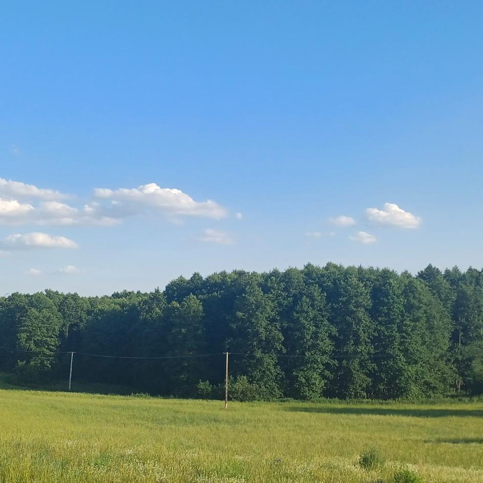
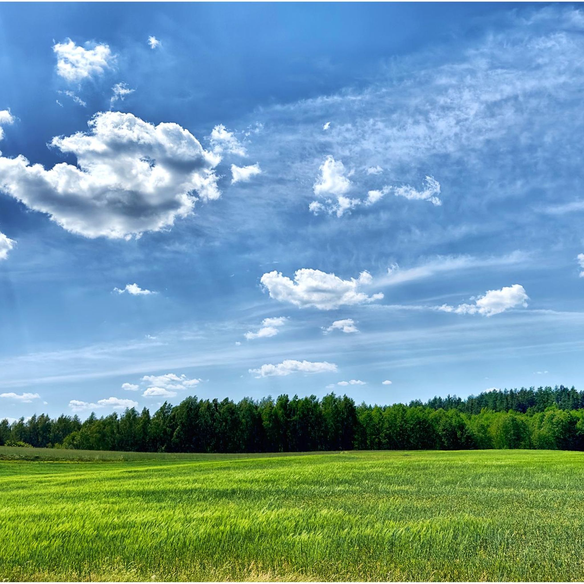
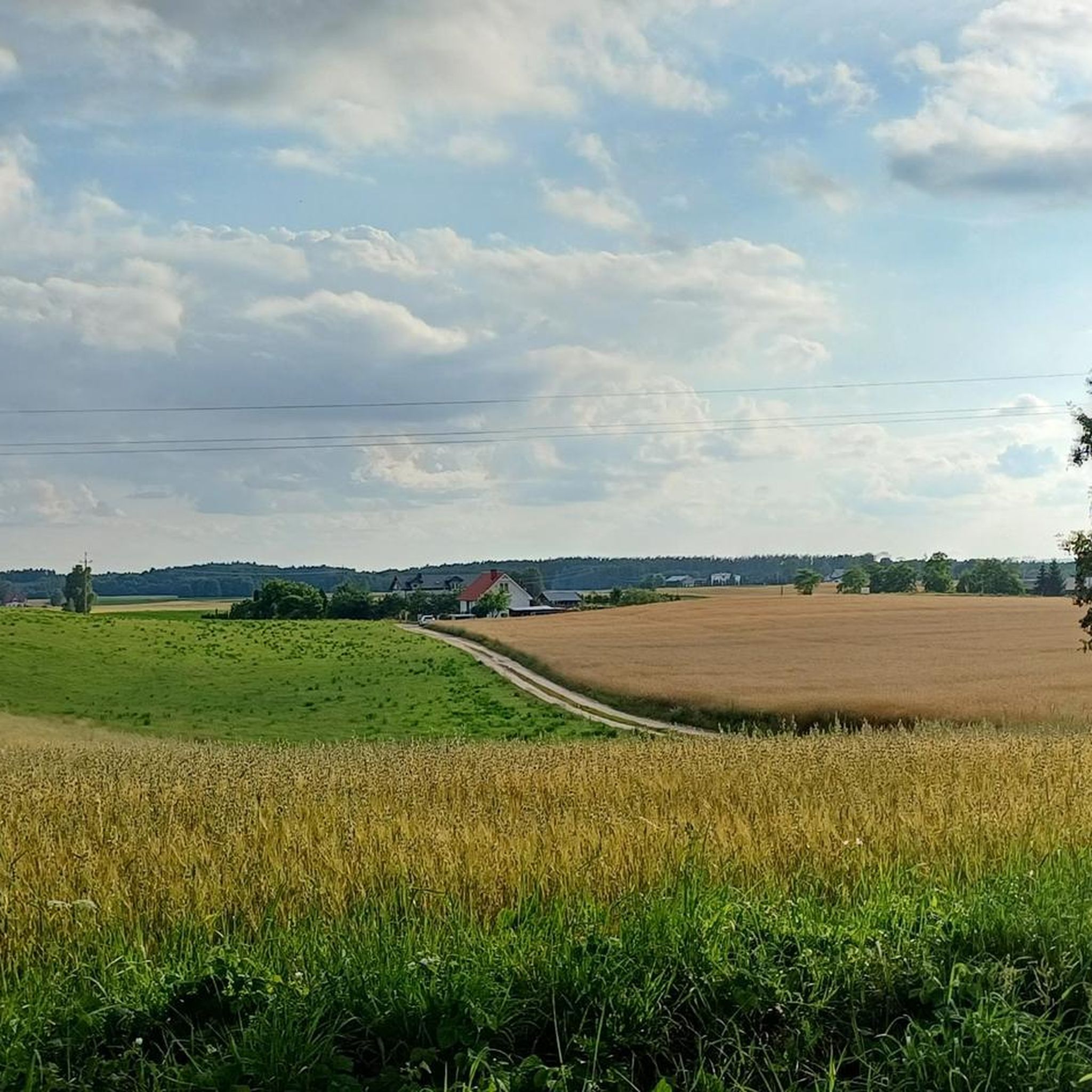

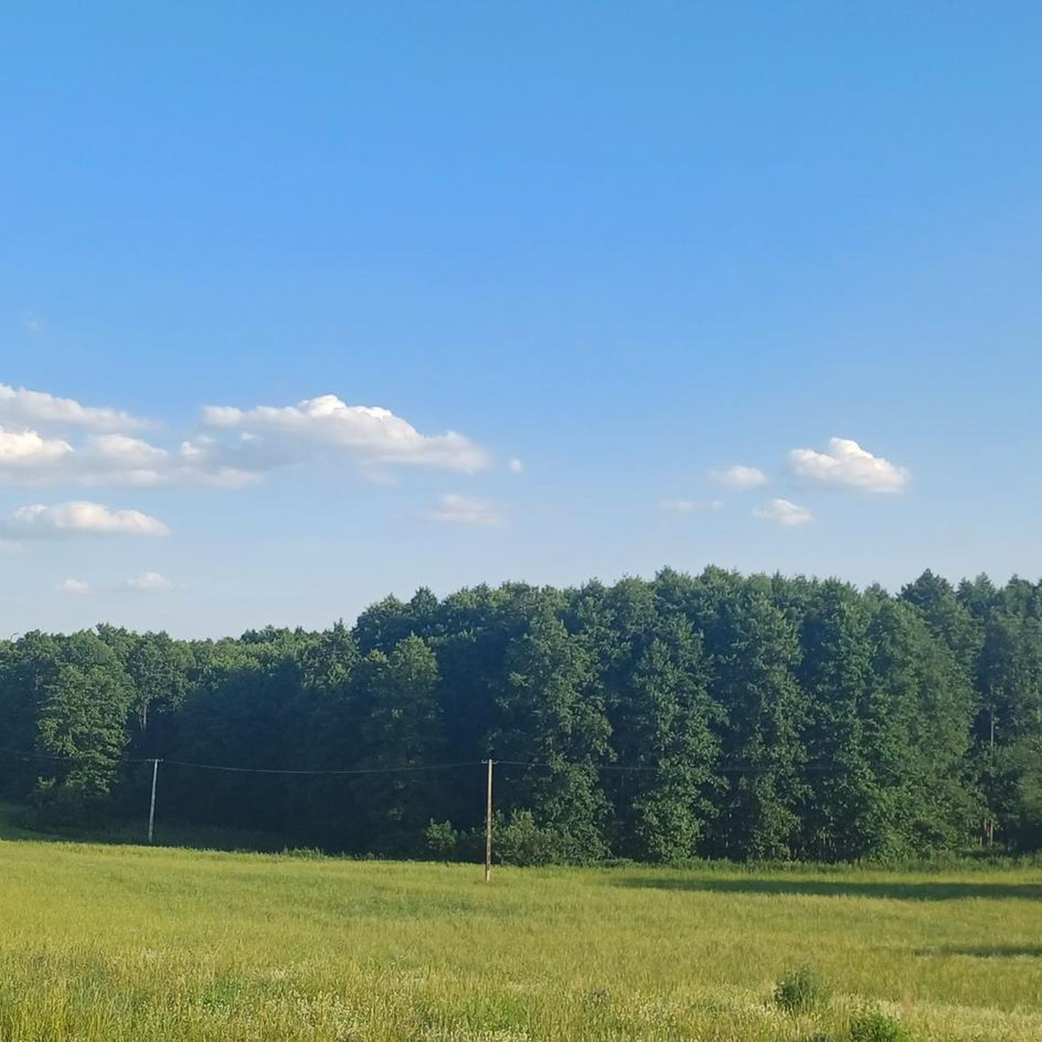
Tips from the Community

Centuries ago, before the first tourists climbed to the summit, Góra Dylewska was considered a mystical place by the local Sasin tribes.
0
0
The central point of the main hall is a huge, interactive table with a dynamic terrain map. Using precise projections and lasers, you can follow the phases of the battle of July 15, 1410, step by step. You will see how the formations of both armies developed, at what moment Vytautas' Lithuanian light cavalry moved, and exactly where Jagiełło's final counteroffensive took place!
0
0
The entire obelisk, 30 meters high, is actually a masterpiece of reinforced concrete construction! Due to limited funds and time, the project's authors – sculptor Jerzy Bandura and architect Witold Cęckiewicz – had to build the core out of cast concrete. Only the outer facade was precisely clad with slabs of natural, gray granite, perfectly imitating an antique, raw monument.
0
0
The installation consists of 40 massive erratic boulders arranged in a perfect circle. This number refers to biblical symbolism (e.g., 40 days of fasting, 40 years of wandering to the Promised Land). The circle was created on the initiative of local communities and clergy of three denominations: Catholic, Evangelical, and Methodist. It is intended to commemorate the turbulent and multicultural history of Masuria.
0
0

The tower on Góra Dylewska is not the only one here - this one is higher! But it is a relay TV station with a tall mast - a bit too modern for this area... but it makes an impression - thin and tall. There is also a shelter and tables for a picnic next to it, so everything is fine.
0
0
It is not only the highest elevation in this region, but also in the whole of north-eastern Poland - 312 m above sea level. From the observation tower here there is a wonderful panorama, so it is not to be missed.
0
0

It is located in the Dylewo Hills, on the road from the French Lake to Dylewo. On the stone is the date 11.7.1920 and the letters A.S. (Abstimmung Sieg).
0
0

The remains of the old chapel, which stand here on a grassy hill, provide an interesting insight into the history of the region. The walls made of fieldstones seem almost like a natural part of the landscape, surrounded by tall trees and green meadows. A quiet place that exudes a certain dignity despite its ruins.
1
0
Frequently Asked Questions
How many hiking trails are available around Dąbrówno?
There are over 40 hiking trails in the Dąbrówno area, offering a variety of options for different skill levels and preferences. The region is known for its numerous lakes and dense forests, providing a tranquil setting for outdoor activities.
What kind of terrain can I expect on hikes in Dąbrówno?
Hikes in Dąbrówno primarily feature paths winding through dense forests and alongside numerous lakes. The region includes parts of the Dylewo Hills Landscape Park, offering varied terrain with gentle elevation changes. While most paths are well-maintained, some can be muddy after rain, so sturdy footwear is advisable.
Are there hiking options for beginners or those looking for easy walks?
Yes, Dąbrówno is very suitable for beginners and those seeking easy walks. Out of the over 40 available routes, 28 are classified as easy. An excellent example is A didactic path "Dylewskie Hills": Dylewskie Hills Landscape Park, which is a short and accessible trail exploring the protected landscape.
Are there any challenging hikes in the Dąbrówno area?
While the Dąbrówno region is generally characterized by gentle terrain, there are 3 routes classified as difficult among the over 40 available. These routes may offer more significant elevation changes or longer distances for experienced hikers seeking a greater challenge.
What natural features can I discover while hiking near Dąbrówno?
The Dąbrówno area is rich in natural beauty, defined by its 12 lakes and extensive forests. Hikers can explore the varied landscapes of the Dylewo Hills Landscape Park, which is a significant natural asset. You might also encounter Jezioro Francuskie, one of the many picturesque lakes in the region.
Are there any historical landmarks or points of interest along the hiking trails?
Yes, the Dąbrówno area offers historical points of interest. Notably, you can find routes that lead to the Battle of Grunwald Battlefield. For example, the Grunwald Monument – Ruins of the Pobitewna Chapel loop from Stębark takes you through these historical grounds. You can also visit the Grunwald Monument itself.
Are there any circular hiking routes in Dąbrówno?
Yes, there are several circular hiking routes available. A popular option is the Hiking loop from Park Krajobrazowy Wzgórz Dylewskich, which offers scenic views within the Dylewo Hills Landscape Park, featuring forests and gentle hills.
Are the hiking trails in Dąbrówno suitable for families with children?
Many of the trails in Dąbrówno are suitable for families, especially the numerous easy routes. The gentle terrain and picturesque natural surroundings, with lakes and forests, make for pleasant family outings. The village also has a park for more localized strolls.
What do other hikers enjoy the most about hiking in Dąbrówno?
The Dąbrówno area is highly rated by the komoot community, with an average score of 5.0 stars from over 10 reviews. Hikers often praise the tranquil environment, the beauty of the lakes and forests, and the well-maintained paths that allow for a peaceful connection with nature.
Is there parking available near the trailheads in Dąbrówno?
While specific parking details for every trailhead are not provided, the local infrastructure in Dąbrówno has seen developments to support tourism, including recreational areas. It is generally advisable to check individual route descriptions on komoot for specific parking information, especially for trails within the Dylewo Hills Landscape Park or near popular attractions.
What is the best time of year to go hiking in Dąbrówno?
The Dąbrówno region, with its lakes and forests, is beautiful throughout the warmer months, from spring to autumn. Spring brings fresh greenery and blooming flora, while autumn offers vibrant colors. Summer is ideal for enjoying the lakes. While some paths can be muddy after rain, this adds to the natural charm, making sturdy footwear important regardless of the season.
How long do hikes near Dąbrówno typically take?
Hikes near Dąbrówno vary in duration depending on the route's length and your pace. Many easy routes, like A didactic path "Dylewskie Hills": Dylewskie Hills Landscape Park (1.9 miles / 3.1 km), can be completed in under an hour. Longer loops, such as the Hiking loop from Park Krajobrazowy Wzgórz Dylewskich (3.2 miles / 5.1 km), might take around 1.5 to 2 hours.
Most popular attractions around Dąbrówno

Get inspired with the komoot mobile app


Explore more
Browse the best Hikes in other regions.
