The best road cycling routes around gmina gmina Cedynia
4.6
(131)
947
riders
72
rides
Road cycling routes around gmina gmina Cedynia traverse a diverse post-glacial landscape within the Cedynia Landscape Park, situated along the German border. The terrain features moraines, forests, and the picturesque Oder Valley, offering varied cycling experiences. Cyclists can expect routes with mostly paved surfaces, providing views of the Oder River and connecting to cross-border paths. The region includes gentle hills and dense woodlands, making it suitable for road cycling.
Best road cycling routes around gmina gmina Cedynia
- The most popular road cycling route is Güstebieser Old Oder – Zollbrücke Flood Marker loop from Oderwiesen Neurüdnitz, a 31.8 miles (51.1 km) trail that takes 1 hour 56 minutes to complete. This easy route offers views of the Old Oder and the cross-border landscape.
- Another top favourite among local road cyclists is Oder River at Hohensaaten – Europa Bridge (Polish Side) loop from Hohensaaten, an easy 23.8 miles (38.3 km) path. This route provides scenic views along the Oder River and towards the Europa Bridge.
- Local road cyclists also love the Oder River at Hohensaaten – Oder Bridge to the Cycle Path loop from Hohenwutzen, a 30.1 miles (48.5 km) trail leading through the Oder Valley, often completed in about 1 hour 53 minutes.
- Road cycling around gmina gmina Cedynia is defined by the Oder Valley, the Cedynia Landscape Park, and varied moraine landscapes. The network offers options for both easy and moderate ability levels, including cross-border connections.
- The routes in gmina gmina Cedynia are highly rated by the komoot community with an average score of 4.8 stars from over 100 reviews. More than 1,000 road cyclists have used komoot to explore gmina gmina Cedynia's varied terrain.
Last updated: May 15, 2026
5.0
(4)
49
riders
Moderate road ride. Good fitness required. Mostly well-paved surfaces and easy to ride.
19
riders
Easy road ride. Great for any fitness level. Mostly well-paved surfaces and easy to ride.

Sign up for free
24
riders
Easy road ride. Great for any fitness level. Mostly well-paved surfaces and easy to ride.
5.0
(3)
14
riders
Easy road ride. Great for any fitness level. Mostly well-paved surfaces and easy to ride.
4.7
(19)
10
riders
50.7km
02:00
220m
220m
Moderate road ride. Good fitness required. Mostly well-paved surfaces and easy to ride.
Get access to more routes and recommendations from other explorers.
Sign up for free
Already have an account?
Our route recommendations are based on thousands of hikes, rides, and runs completed by other people on komoot.
Start today with a free account
Your next adventure awaits.
Login or Signup
Tips from the Community

Very successful cyclist's break with delicious soft ice cream!!!
2
0

The observation tower at the Stützkow Ice Watch House is located directly next to the Oder dike and opened in February 2014. With its unusual architecture and sleek shape, it is one of the most visible landmarks in the Lower Oder Valley and offers national park visitors a magnificent view of the polder landscape south of the town of Schwedt and the Oder slopes on the Polish side of the Oder River. From an eleven-meter-high platform, visitors can observe the animals undisturbed. The tower is crowned with a curved roof modeled on the wings of cranes. The Douglas fir and larch trunks used to build the tower come from the Schorfheide-Chorin Biosphere Reserve and were felled in the forests surrounding Chorin.
3
0

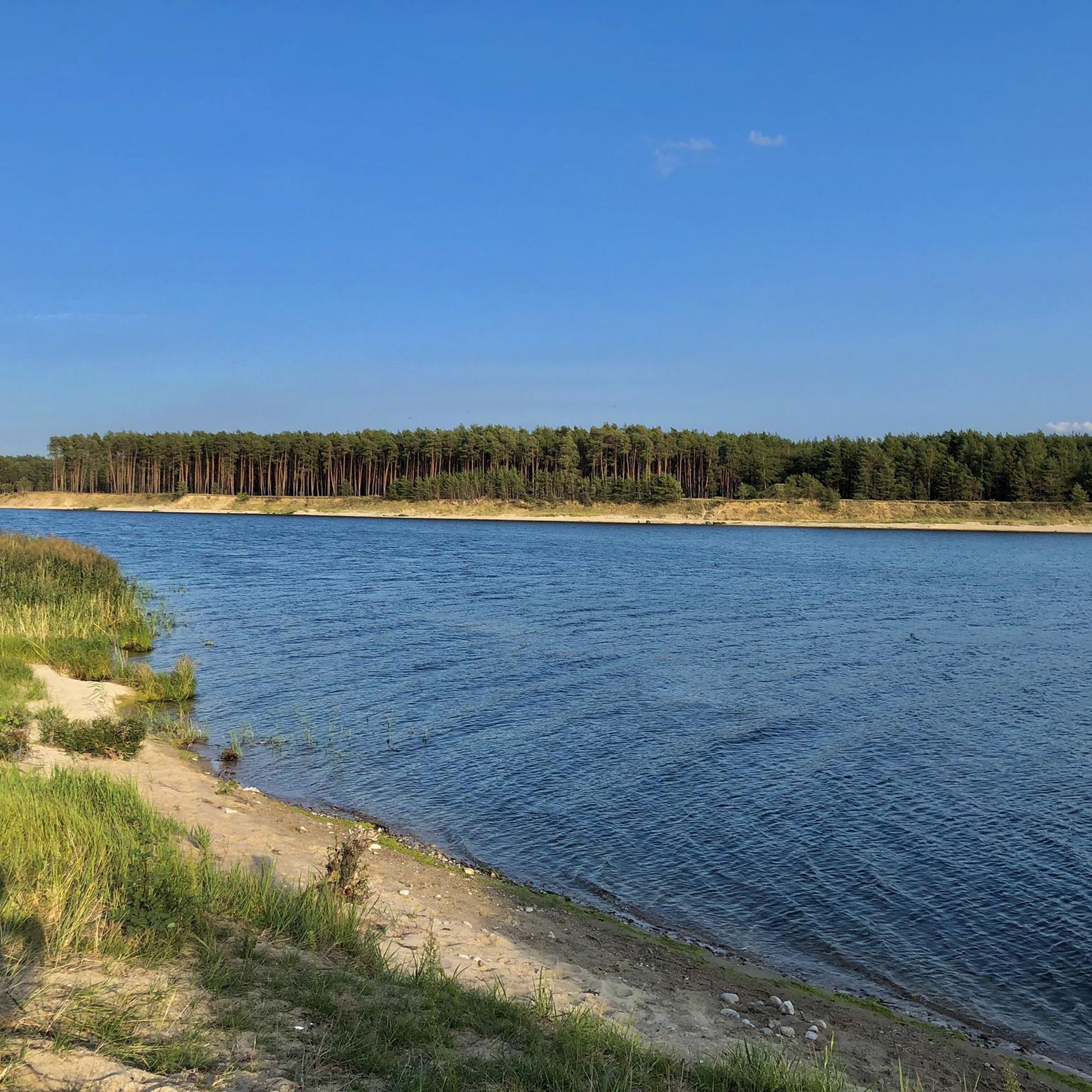
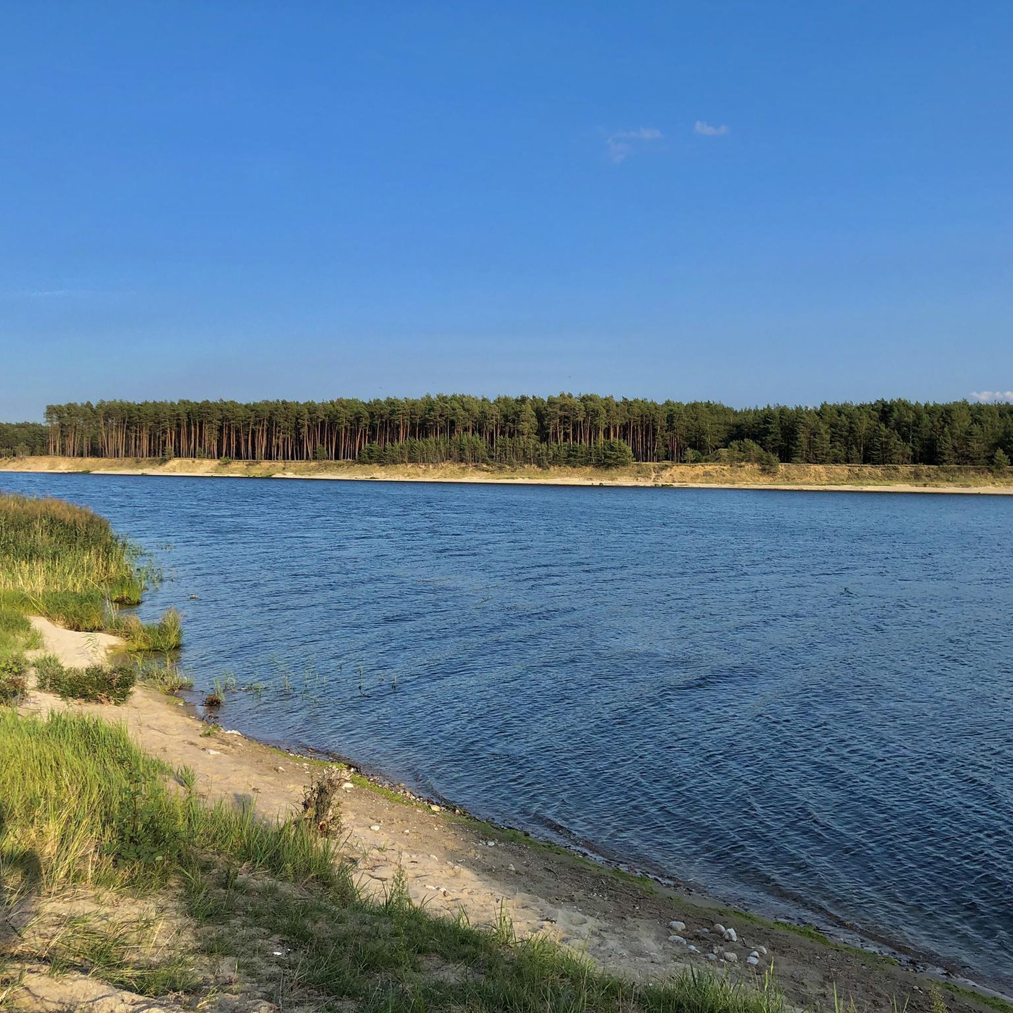
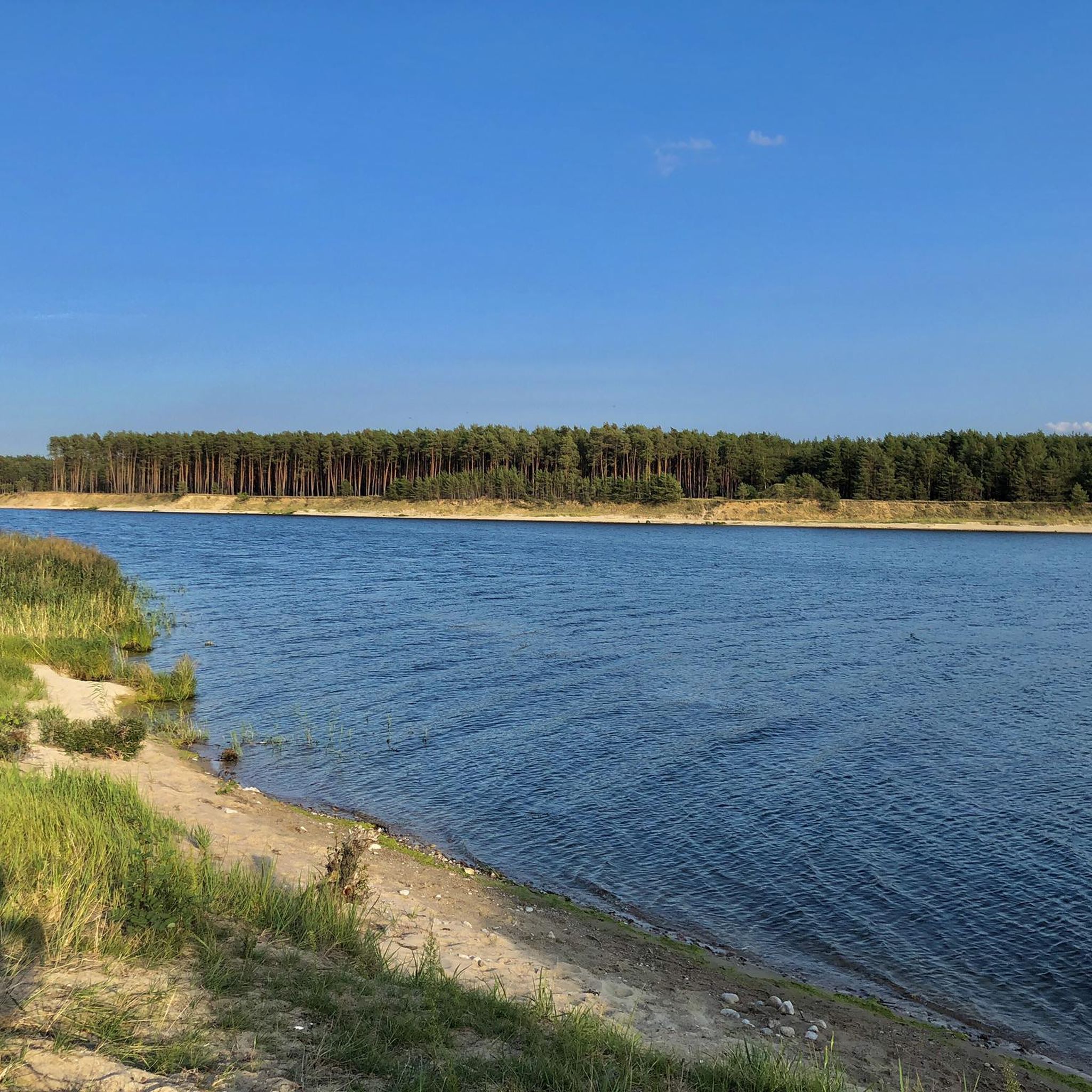
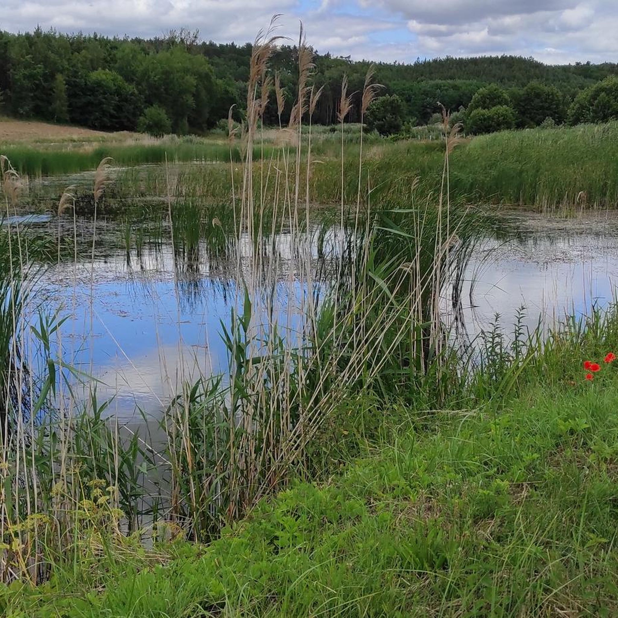
past the lock, then it becomes very quiet - pure nature
0
0

Drives great 👍
0
0

From the tower you have a beautiful view of the Oder, Poland and the surrounding countryside. There are several benches at the foot of the tower.
0
1

The cycle path is recommended throughout.
0
0
Wonderful cycle path, relatively new and with a good surface.
0
0
The cycle path is definitely recommended.
0
0
Frequently Asked Questions
What kind of terrain can I expect on road cycling routes in Gmina Cedynia?
Road cycling routes in Gmina Cedynia traverse a diverse post-glacial landscape, primarily within the Cedynia Landscape Park. You'll encounter varied topography including moraines, gentle hills like the Krzymów and Moryń Hills, and picturesque views of the Oder Valley. The routes often feature a mix of dense woodlands, wetlands, and open fields, with mostly paved surfaces suitable for road bikes.
Are there many road cycling routes available in the Gmina Cedynia region?
Yes, the Gmina Cedynia region offers a good selection for road cyclists. There are over 70 road cycling routes available, catering to various preferences and fitness levels. The komoot community has highly rated these routes, with an average score of 4.8 stars.
What are the difficulty levels of road cycling routes in Gmina Cedynia?
The majority of road cycling routes in Gmina Cedynia are classified as easy or moderate. There are 19 easy routes perfect for beginners or a relaxed ride, and 57 moderate routes for those seeking a bit more challenge. There are no routes currently classified as difficult, making the area accessible to a wide range of cyclists.
Can I find routes that offer scenic views of the Oder River?
Absolutely. Many routes in Gmina Cedynia are designed to showcase the beautiful Oder Valley. For example, the Oder River at Hohensaaten – Europa Bridge (Polish Side) loop from Hohensaaten offers stunning views along the river and towards the Europa Bridge. Another option is the Oder River at Hohensaaten – Oder Bridge to the Cycle Path loop from Hohenwutzen, which leads directly through the picturesque Oder Valley.
Are there any cross-border road cycling opportunities from Gmina Cedynia into Germany?
Yes, Gmina Cedynia's location on the German border provides unique cross-border cycling experiences. Routes often utilize adapted infrastructure, such as former railway bridges over the Odra River, connecting Polish and German paths. This allows for extended rides exploring landscapes on both sides of the border.
What natural features or landmarks can I see along the road cycling routes?
The region is rich in natural beauty and interesting landmarks. You can cycle past the View of the Neurüdnitz-Siekierki European bridge, observe the Zollbrücke Dike Gate, or see the Hohensaaten Lock. Nature enthusiasts might also appreciate the nearby Lower Oder Valley National Park and various gorges like Parów Źródlany (Source Valley Gorge) and Orchid Gorge (Wąwóz Storczykowy).
Are there any circular road cycling routes in the area?
Yes, many of the road cycling routes in Gmina Cedynia are designed as loops, offering convenient starting and ending points. An example is the Güstebieser Old Oder – Zollbrücke Flood Marker loop from Oderwiesen Neurüdnitz, which provides an easy circular ride with views of the Old Oder.
What is the best time of year for road cycling in Gmina Cedynia?
The diverse landscapes of Gmina Cedynia, including forests and wetlands, are particularly beautiful during spring and autumn with their vibrant colors. Summer also offers pleasant conditions for cycling, especially along the Oder River, though it can be warmer. The region's varied terrain and natural features are enjoyable throughout the warmer months.
Are there any shorter, easier road cycling routes suitable for a quick ride?
Yes, if you're looking for a shorter, easier ride, consider routes like the Hohensaaten Village Church – Hohensaaten Village Church loop from Hohensaaten. This moderate 14.8 km route can be completed in about 35 minutes, offering a pleasant cycling experience without requiring a full day commitment.
What do other road cyclists enjoy most about cycling in Gmina Cedynia?
The area is highly rated by the komoot community, with an average score of 4.8 stars from over 100 reviews. Reviewers often praise the region's diverse post-glacial landscape, the scenic views of the Oder Valley, and the well-maintained, mostly paved surfaces that make for enjoyable road cycling. The cross-border connections are also a popular highlight.
Can I find routes that pass through nature reserves?
The Cedynia Landscape Park, which encompasses much of the cycling area, contains eight nature reserves, including "Bielinek" and "Słoneczne Wzgórza." While specific routes might not directly enter all reserves, many pass through or near these protected areas, allowing cyclists to experience the unique ecosystems and natural beauty they preserve. For instance, the Oder River at Hohensaaten – View of Bielinek loop from Hohensaaten offers views towards the Bielinek reserve.
Most popular routes around gmina gmina Cedynia
Most popular attractions around gmina gmina Cedynia

Get inspired with the komoot mobile app


Explore more
Browse the best Road cycling routes in other regions.
