The best cycling routes around Erada
4.8
(6)
33
riders
6
rides
Touring cycling around Erada offers routes through a landscape characterized by hills and valleys, with notable features such as the Serra da Estrela mountain range. The region includes historic villages and varied terrain suitable for different cycling preferences. Elevation changes are a common aspect of the routes, providing both challenging climbs and scenic descents.
Best touring cycling routes around Erada
- The most popular touring cycling route is Blue Tour of Piódão — Historic Villages of Portugal, a 8.1 miles (13.1 km) trail that takes 1 hour 9 minutes to complete. This difficult route explores the area around historic villages.
- Another top favourite among local touring cyclists is Bike loop from Erada, a moderate 11.6 miles (18.7 km) path. This route offers a mix of terrain directly from Erada.
- Local touring cyclists also love the Bike loop from Barco, a 13.4 miles (21.5 km) trail leading through varied landscapes, often completed in about 1 hour 28 minutes.
- Touring cycling around Erada is defined by its hilly terrain, views of the Serra da Estrela, and routes connecting historic villages. The network offers options for easy, moderate, and difficult ability levels.
- The routes in Erada are highly rated by the komoot community with an average score of 4.8 stars from 6 reviews. More than 30 touring cyclists have used komoot to explore Erada's varied terrain.
Last updated: May 11, 2026
13.1km
01:09
490m
480m
Hard bike ride. Very good fitness required. Mostly paved surfaces. Suitable for all skill levels.
14
riders
4.30km
00:22
140m
140m
Easy bike ride. Great for any fitness level. Mostly paved surfaces. Suitable for all skill levels.

Sign up for free
6
riders
18.7km
01:22
240m
240m
Moderate bike ride. Good fitness required. Mostly paved surfaces. Suitable for all skill levels.
4.5
(2)
8
riders
41.8km
03:40
1,400m
1,400m
Hard bike ride. Very good fitness required. Mostly paved surfaces. Suitable for all skill levels.
5.0
(3)
3
riders
21.5km
01:28
390m
390m
Moderate bike ride. Good fitness required. Mostly paved surfaces. Suitable for all skill levels.
Our route recommendations are based on thousands of hikes, rides, and runs completed by other people on komoot.
Start today with a free account
Your next adventure awaits.
Login or Signup
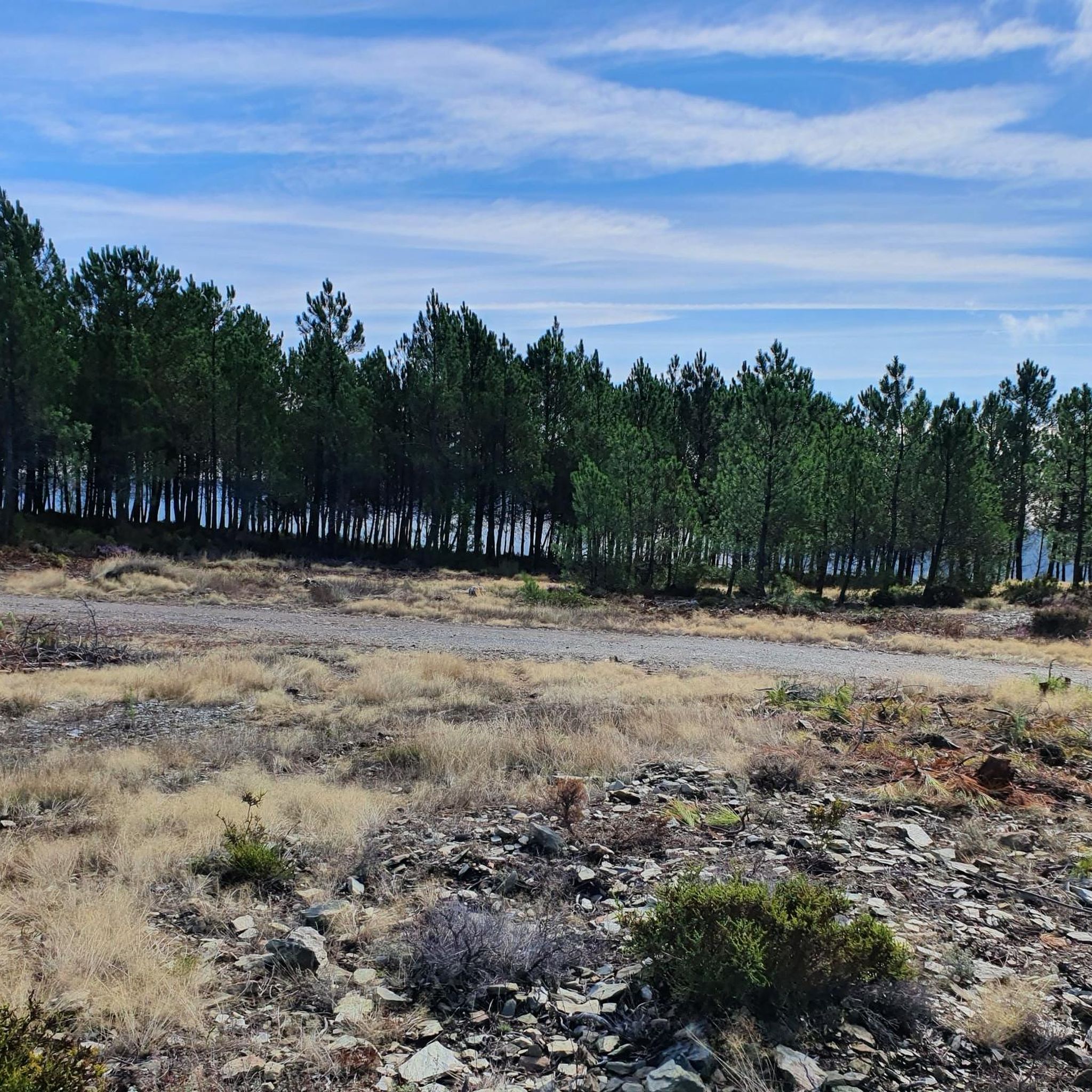
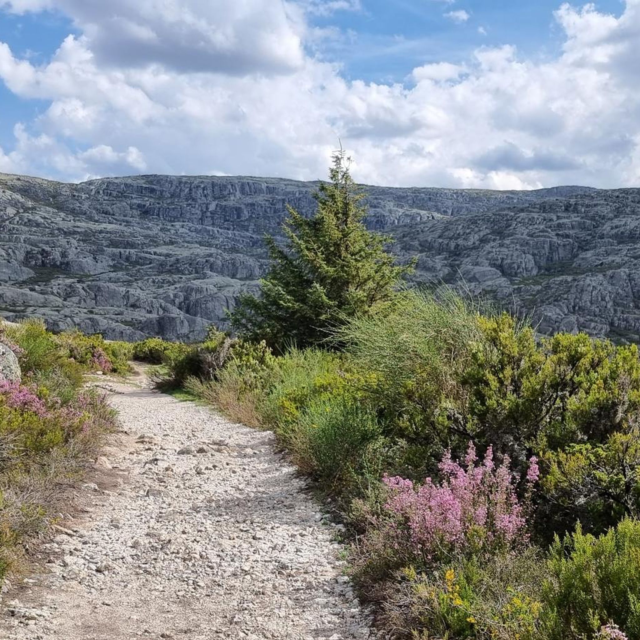
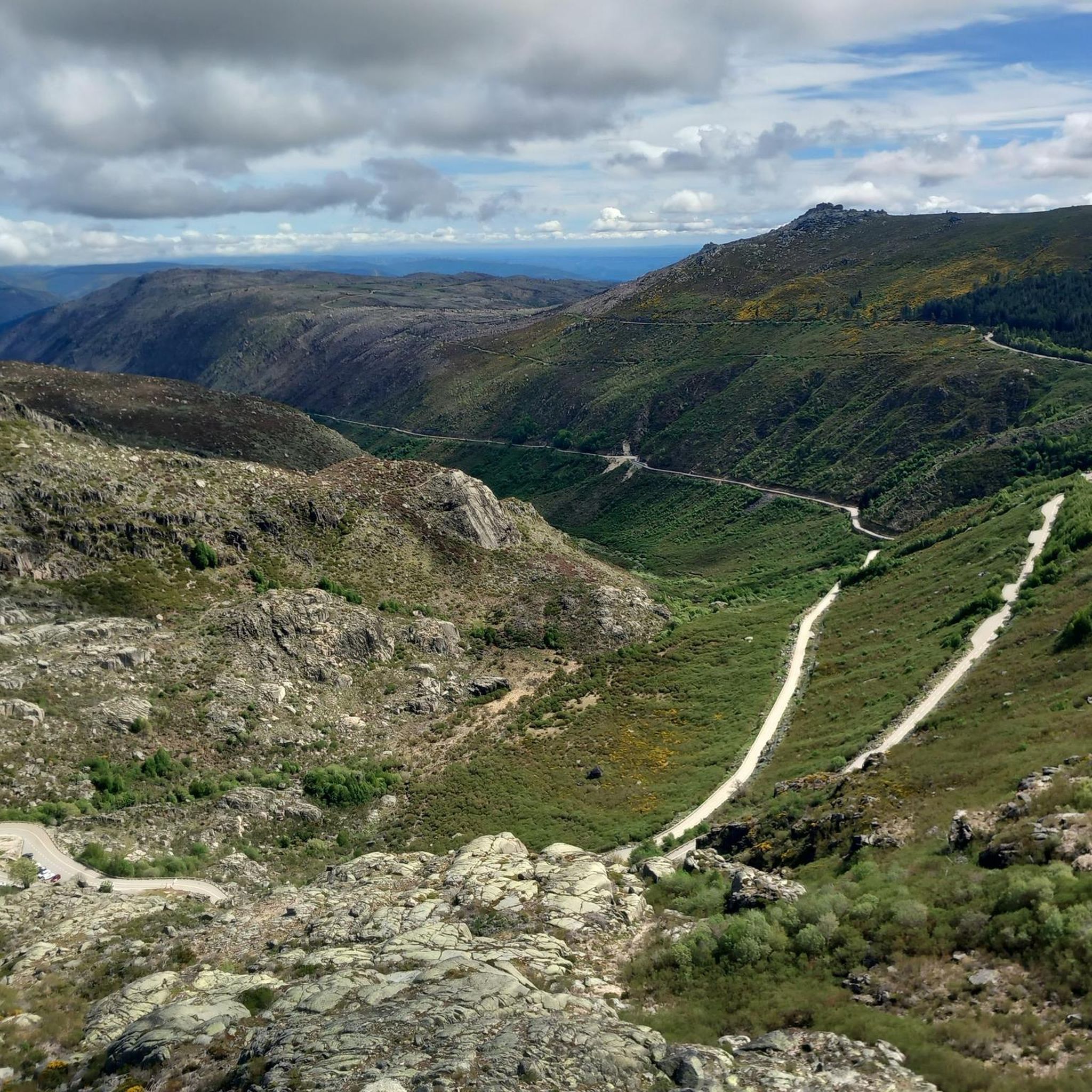
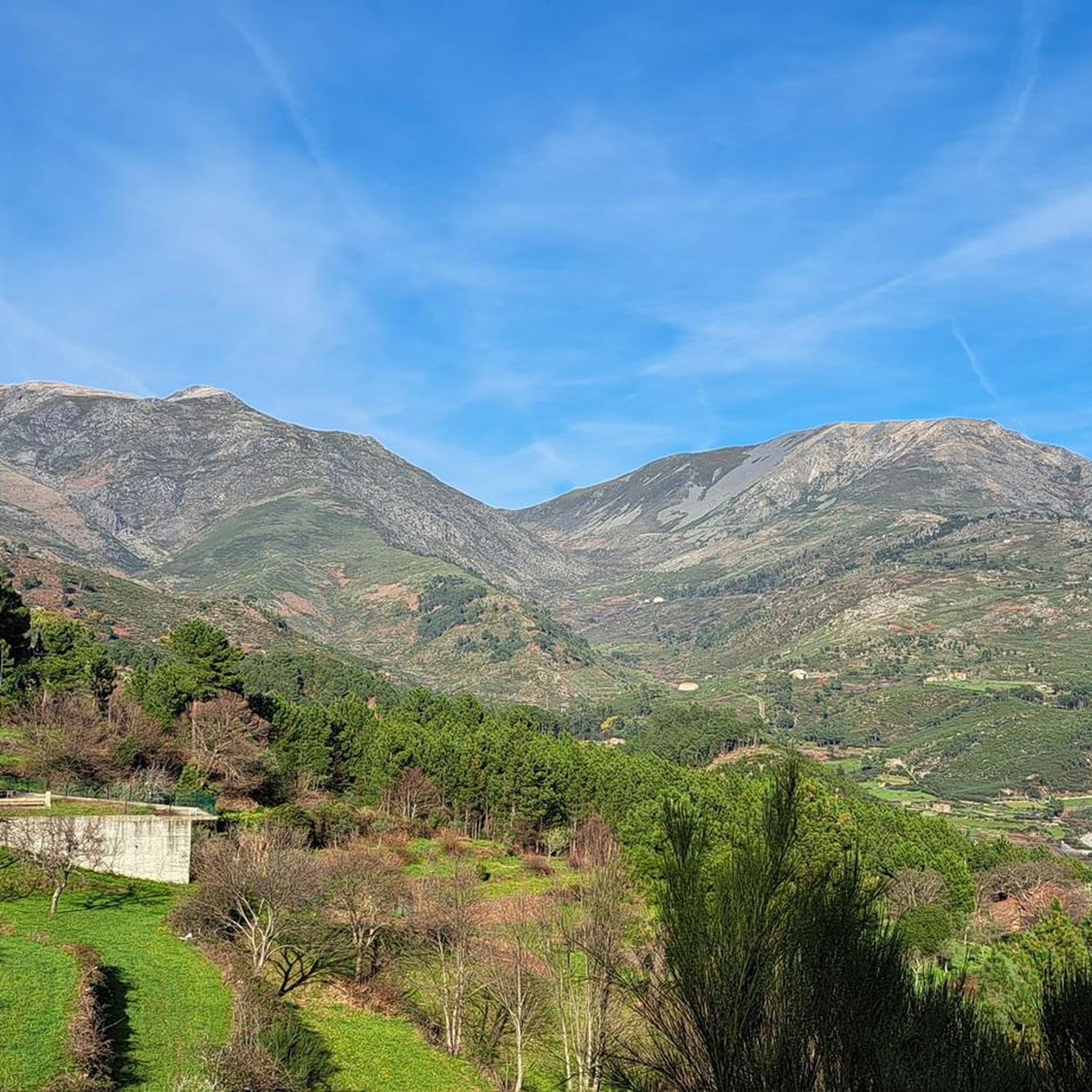
Tips from the Community

Cântaro Magro is one of the "commonplaces" of the Serra da Estrela mountain range, whose summit rises to 1928 m altitude, deserving a visit at any time of year. Viewed from west to east, its silhouette resembles a pitcher. In summer, its rocky face is interrupted by small terraces of soil, where some of the rarest botanical jewels of the mountain range grow. In winter, it is covered in snow and ice which, as they melt, form ephemeral waterfalls. These recall the overflowing liquid from the pitchers carried on the heads of women when, in the past, they went to the fountains. #CISE #VisitSeia #ParqueNaturaldaSerradaEstrela
0
0
Both Piódão and Foz d'Égua are accessible by car. But it's worth hiking the trail that connects them. It takes about 45 minutes, downhill from Piódão to Foz d'Égua (remember that the return is a slight climb). It's worth crossing the restored suspension bridge in Foz d'Égua before returning to Piódão. The Foz d'Égua pool is a popular spot for a dip in its very cold waters. Dipping your feet in the icy water of the stream is always very pleasant after a hike, immersing yourself in nature. I did it and recommend it. 👍🥾
1
0

The Serra da Estrela Natural Park is something truly special. This 1,000-square-kilometer park, spread across six municipalities, was the first and currently the largest protected natural park in Portugal. It is home to the highest point on the Portuguese mainland, the country's only ski slope, the source of two important rivers, and a fascinating, alpine-like landscape formed by glaciers.
5
1
At exactly 1993 meters above sea level, Torre is the highest point in mainland Portugal, where the only ski resort is located. The landscape on the upper plateau of the Serra da Estrela is like a sprinkling of granite rocks over low scrub and patches of snow and ice, which the sun threatens to melt soon in the summer and which always returns the following winter. In winter, it sometimes becomes inaccessible.
6
0

Cântaro Magro is one of the most iconic and spectacular rock formations in the Serra da Estrela, the highest mountain range in mainland Portugal. This imposing granite spire is the result of millions of years of glacial erosion and weathering. Its name, which means "Skinny Pitcher", perfectly describes its slender and elongated silhouette.
3
0

Nestled in the Açor mountains, near Piódão, the river beach of Foz d’Égua is an enchanted corner that comes alive in the summer. Where the Piódão and Chãs d’Égua streams meet, a natural pool is formed, surrounded by rustic bridges, old mills and shale everywhere.
3
0
Piódão, the charming schist village with blue doors, is still home to around 170 inhabitants. It is said that the blue doors came about by chance (it was the only colour available) and ended up becoming a tradition. In the centre, next to the square, there is a small, lively café and a restaurant serving regional dishes. The car park is at the entrance to the village (there are around 50 spaces) and there are public toilets right in the centre, everything ready for a peaceful visit to this living postcard of the mountains.
2
0

Beautiful panoramic views from the highest point in Portugal. You can ski here in winter, and there is sometimes snow even in summer.
4
0
Frequently Asked Questions
What kind of terrain can I expect on touring cycling routes around Erada?
The region around Erada is characterized by a diverse landscape of hills and valleys, with the prominent Serra da Estrela mountain range influencing many routes. You'll encounter varied terrain, including both challenging climbs and scenic descents, often passing through historic villages.
Are there touring cycling routes suitable for beginners in Erada?
Yes, Erada offers routes for various skill levels, including options suitable for beginners. An easy route to consider is the Cântaro Magro – Serra da Estrela loop from Serra da Estrela, which covers 4.3 km and takes about 22 minutes to complete.
What are some challenging touring cycling routes in the Erada area?
For experienced touring cyclists seeking a challenge, Erada provides several difficult routes. The Cântaro Magro – Serra da Estrela loop from Unhais da Serra is a demanding 41.8 km route with significant elevation changes, typically taking over 3 hours.
Are there any circular touring cycling routes starting near Erada?
Yes, there are several excellent circular routes available. For a convenient option directly from the town, consider the Bike loop from Erada, a moderate 18.7 km path. Another popular loop is the Bike loop from Barco, which is 21.5 km long and offers varied landscapes.
What natural attractions can I see along the touring cycling routes in Erada?
The routes often pass by significant natural landmarks within the Serra da Estrela region. You can explore areas near the Torre (Serra da Estrela Summit), the impressive rock formation of Cântaro Magro, or the picturesque Poço da Broca de Serapitel waterfall.
Are there any viewpoints or scenic spots on the touring cycling routes?
Given the hilly terrain and proximity to the Serra da Estrela, many routes offer panoramic views. The area around the Torre (Serra da Estrela Summit) and Cântaro Magro is particularly known for its stunning vistas.
What do other touring cyclists enjoy most about cycling in Erada?
The touring cycling routes around Erada are highly rated by the komoot community, with an average score of 4.8 stars. Cyclists often praise the varied terrain, the views of the Serra da Estrela, and the opportunity to connect with historic villages.
How long do the touring cycling routes around Erada typically take to complete?
Route durations vary significantly based on distance and difficulty. For example, an easy route like the Cântaro Magro – Serra da Estrela loop from Serra da Estrela can be completed in about 22 minutes, while a moderate route such as the Bike loop from Erada takes around 1 hour 22 minutes. More difficult routes can extend to over 3 hours.
Are there any routes that explore historic villages near Erada?
Yes, the region is known for its historic villages. The Blue Tour of Piódão — Historic Villages of Portugal is a difficult 13.1 km route specifically designed to explore the area around these charming settlements.
What is the best time of year for touring cycling in Erada?
The varied terrain and elevation changes mean that conditions can differ. Generally, spring and autumn offer pleasant temperatures for cycling. Summers can be warm, especially in the valleys, while winter cycling in the higher parts of Serra da Estrela might require specific gear due to colder temperatures and potential snow.
Are there any lakes or wild swimming spots accessible from the cycling routes?
While not directly on every route, the region features natural water bodies. The Covão do Ferro Lake is a notable natural attraction in the wider area that cyclists might find appealing for a stop or a refreshing break.
Most popular routes around Erada
Most popular attractions around Erada

Get inspired with the komoot mobile app


Explore more
Browse the best Cycling routes in other regions.
