The best road cycling routes around Erada
159
riders
7
rides
Road cycling routes around Erada are characterized by mountainous terrain and deep valleys, offering varied landscapes for cyclists. The area features significant elevation changes, with many climbs exceeding 1,000 meters. This region presents challenging routes, suitable for experienced road cyclists seeking demanding ascents and descents. The landscape includes features such as the Serra da Estrela and Serra da Argemela mountain ranges.
Best road cycling routes around Erada
- The most popular road cycling route is Mural A Farrapeira – Jardim do…
Last updated: May 12, 2026
35
riders
20.1km
01:28
620m
620m
Moderate road ride. Good fitness required. Mostly well-paved surfaces and easy to ride.
28
riders
99.7km
05:03
1,570m
1,570m
Hard road ride. Very good fitness required. Some segments of this route may be unpaved and difficult to ride.

Sign up for free
13
riders
55.8km
03:33
1,650m
1,650m
Hard road ride. Very good fitness required. Mostly well-paved surfaces and easy to ride.
6
riders
32.7km
01:36
460m
460m
Moderate road ride. Good fitness required. Mostly well-paved surfaces and easy to ride.
5
riders
72.4km
03:33
1,040m
1,040m
Hard road ride. Very good fitness required. Mostly well-paved surfaces and easy to ride.
Get access to more routes and recommendations from other explorers.
Sign up for free
Already have an account?
Our route recommendations are based on thousands of hikes, rides, and runs completed by other people on komoot.
Start today with a free account
Your next adventure awaits.
Login or Signup
Tips from the Community

The Torre is the highest point of Continental Portugal, at 1,993 meters above sea level. It is located in the heart of the Serra da Estrela Natural Park and serves as the dividing line between the municipalities of Seia, Manteigas, and Covilhã. To reach the round 2,000 meters, King D. João VI had a stone monument built at the top of the plateau in the early 19th century.👍🥾
0
0
Cântaro Magro is one of the "commonplaces" of the Serra da Estrela mountain range, whose summit rises to 1928 m altitude, deserving a visit at any time of year. Viewed from west to east, its silhouette resembles a pitcher. In summer, its rocky face is interrupted by small terraces of soil, where some of the rarest botanical jewels of the mountain range grow. In winter, it is covered in snow and ice which, as they melt, form ephemeral waterfalls. These recall the overflowing liquid from the pitchers carried on the heads of women when, in the past, they went to the fountains. #CISE #VisitSeia #ParqueNaturaldaSerradaEstrela
0
0

goodbye vegetables 😔
0
0
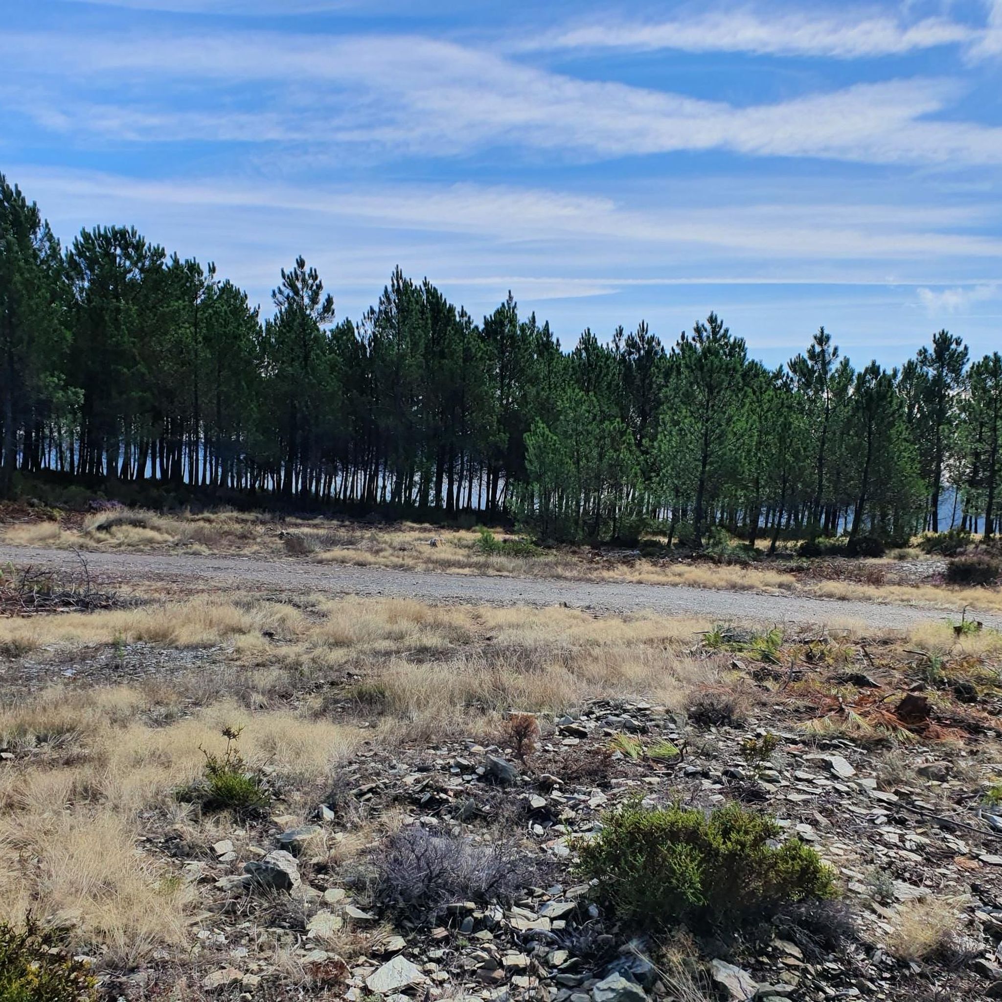
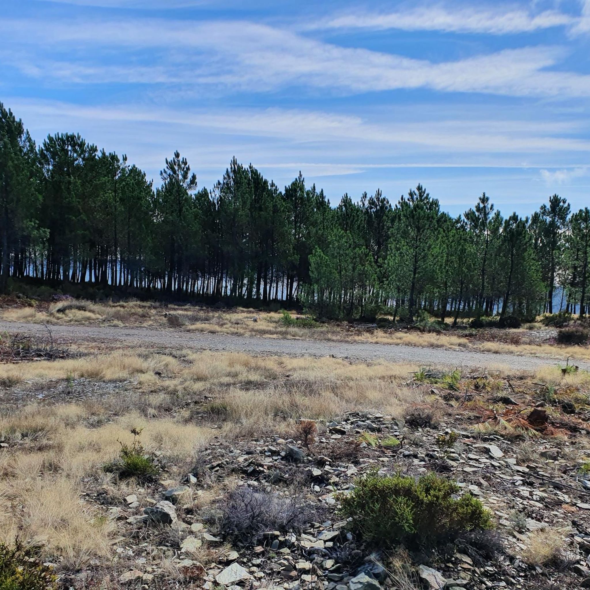
A treasure trove of legends and signs of ancient human occupation, the Serra da Argemela rises 756 meters, with primarily granitoid rocks that emerged hundreds of millions of years ago. These granites formed vein-like rocks with high concentrations of tin, contained in cassiterite, the main object of exploration in the Argemela mines in the mid-20th century. Recent studies indicate the presence of lithium concentrations.
0
0

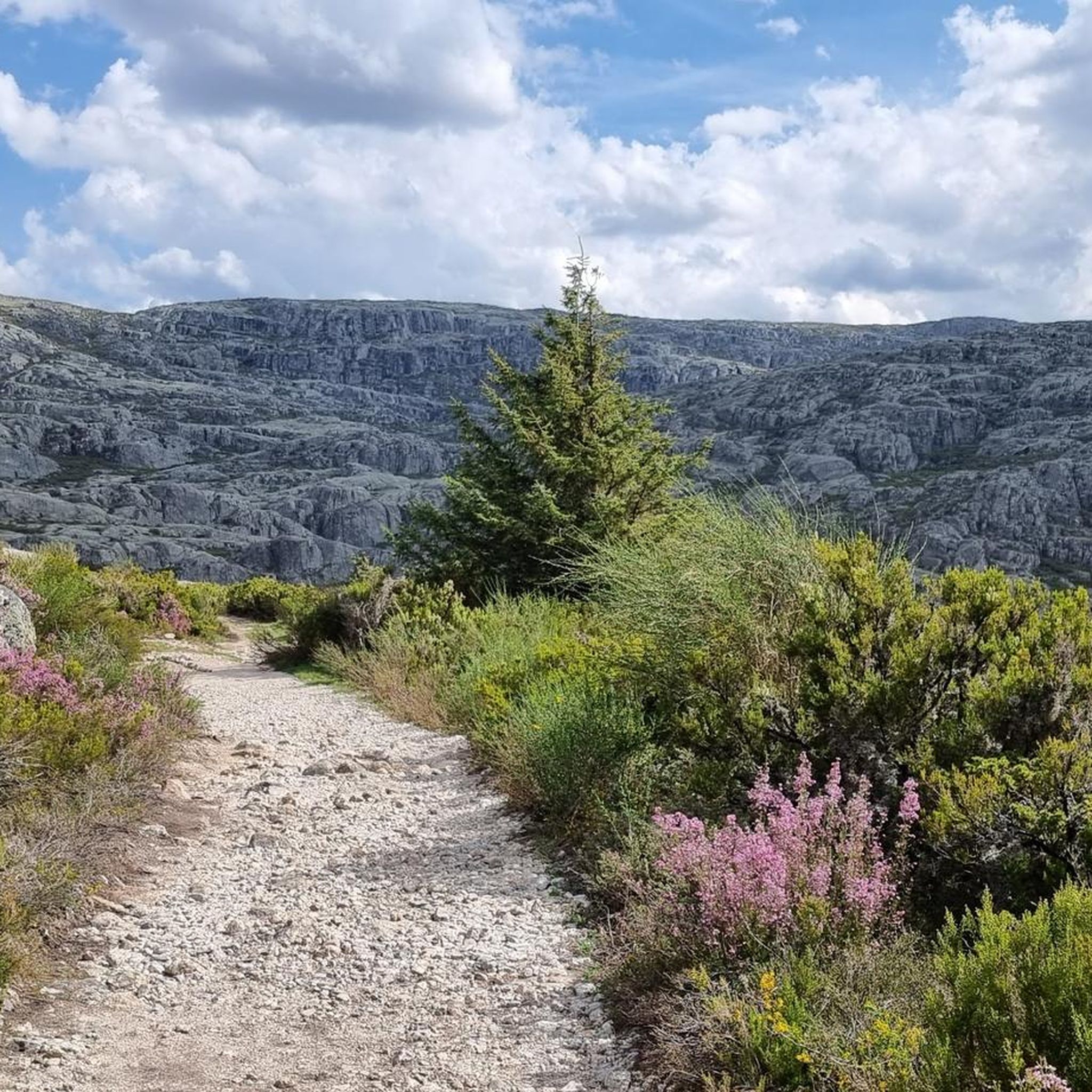
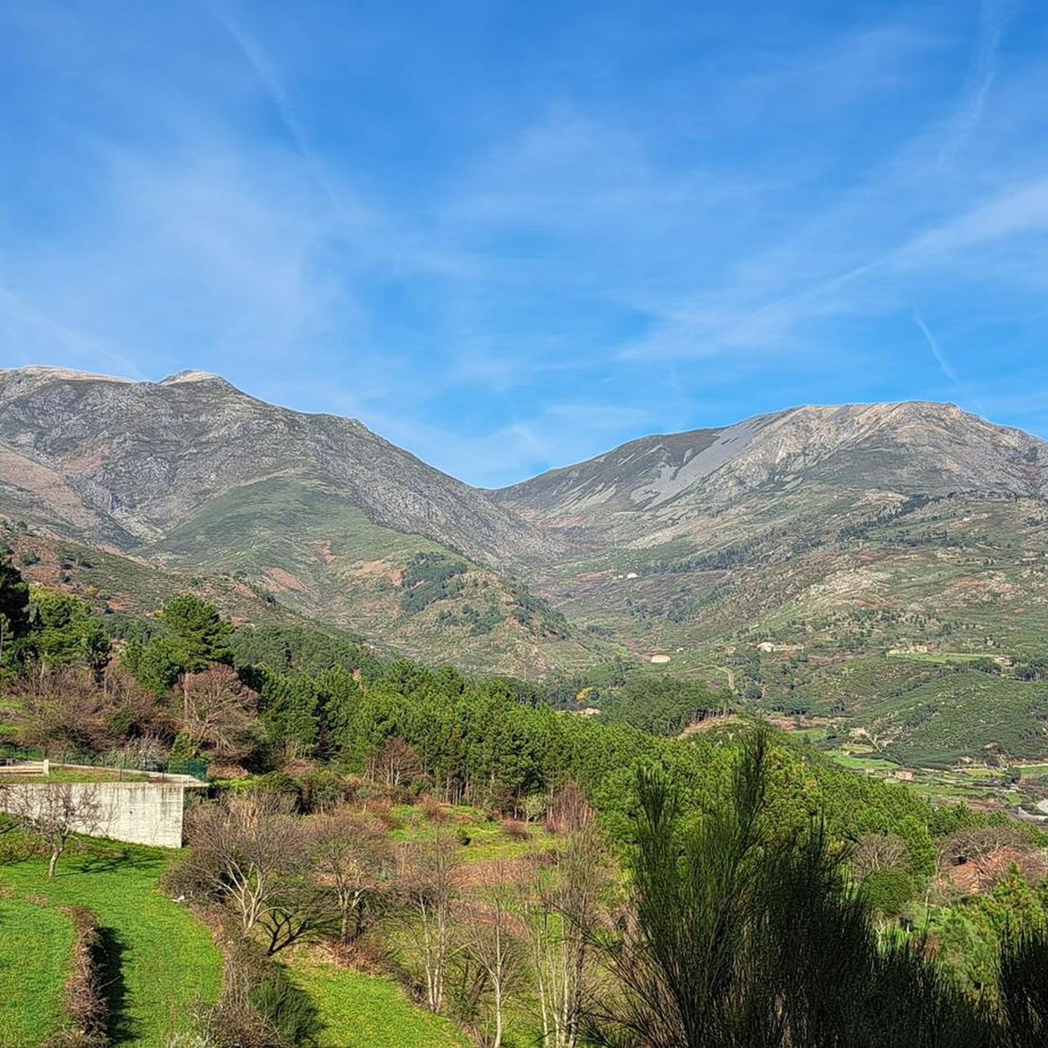
The Serra da Estrela Natural Park is something truly special. This 1,000-square-kilometer park, spread across six municipalities, was the first and currently the largest protected natural park in Portugal. It is home to the highest point on the Portuguese mainland, the country's only ski slope, the source of two important rivers, and a fascinating, alpine-like landscape formed by glaciers.
5
1

At exactly 1993 meters above sea level, Torre is the highest point in mainland Portugal, where the only ski resort is located. The landscape on the upper plateau of the Serra da Estrela is like a sprinkling of granite rocks over low scrub and patches of snow and ice, which the sun threatens to melt soon in the summer and which always returns the following winter. In winter, it sometimes becomes inaccessible.
6
0

The Jardim do Lago extends around the Lago da Sereia and is a well-kept green area with paths, benches and lush vegetation. Perfect for a break from cycling.
0
0
Frequently Asked Questions
What kind of terrain can I expect on road cycling routes around Erada?
Road cycling around Erada is characterized by mountainous terrain and deep valleys. You can expect significant elevation changes, with many routes featuring climbs exceeding 1,000 meters. The landscape includes prominent features like the Serra da Estrela and Serra da Argemela mountain ranges, offering challenging ascents and descents.
Are there road cycling routes suitable for beginners in Erada?
The road cycling routes around Erada are primarily challenging, designed for experienced road cyclists seeking demanding ascents and descents. While there are a couple of moderate routes, the majority are classified as difficult, making the region less suitable for beginners looking for easy rides.
How many road cycling routes are available in the Erada region?
There are over 7 road cycling routes available around Erada. These routes offer varied distances and elevation profiles, catering mostly to experienced cyclists.
What are some notable landmarks or viewpoints I might encounter while road cycling in Erada?
While cycling around Erada, you can encounter several significant landmarks and natural features. Highlights include the highest point of mainland Portugal, Torre (Serra da Estrela Summit), the unique rock formation of Cântaro Magro, and the picturesque Foz d'Égua. You might also pass through the charming Historical Village of Piódão.
Are there any circular road cycling routes in Erada?
Yes, many of the road cycling routes around Erada are designed as loops, allowing you to start and finish in the same location. Examples include the Mural A Farrapeira – Jardim do Lago loop from Poço do Lagar and the Vale de Loriga Viewpoint – Serra da Estrela loop from Vide e Cabeça.
What do other road cyclists enjoy most about cycling in Erada?
Road cyclists who have explored Erada often praise the challenging mountainous ascents and the deep valleys that define the region's landscape. The routes offer demanding climbs and descents, making it a popular destination for those seeking a rigorous and rewarding cycling experience amidst diverse terrain.
What is the best time of year for road cycling in Erada?
Given the mountainous terrain and potential for significant elevation, spring and autumn generally offer the most pleasant conditions for road cycling in Erada, with milder temperatures. Summers can be hot, and winters, especially at higher elevations like Serra da Estrela, may bring colder weather and even snow, making some routes more challenging or inaccessible.
Are there any routes that offer views of the Serra da Estrela mountain range?
Absolutely. Several routes provide stunning views of the Serra da Estrela. For instance, the Vale de Loriga Viewpoint – Serra da Estrela loop from Vide e Cabeça leads directly through mountainous regions with vistas of the range, and the Cântaro Magro – Serra da Estrela loop from Serra da Estrela also offers immersive views.
Are there any waterfalls or natural pools accessible along the road cycling routes?
While road cycling routes primarily focus on paved roads, the region around Erada is known for natural beauty. You might find attractions like Poço da Broca de Serapitel, a natural pool with a waterfall, which could be a short detour from some routes or a destination for a post-ride cool-down.
Is it possible to combine road cycling with exploring historical villages in the Erada area?
Yes, the region offers opportunities to combine your ride with cultural exploration. The Historical Village of Piódão, known for its unique schist architecture, is a notable attraction in the vicinity that cyclists can visit or pass by on their routes, offering a glimpse into local heritage.
What is the longest road cycling route available in Erada?
The longest road cycling route in Erada is the Mural A Farrapeira – Jardim do Lago loop from Poço do Lagar, which spans 61.9 miles (99.7 km). This difficult route features substantial elevation gain through varied landscapes.
Are there any moderate difficulty road cycling routes in Erada?
Yes, while most routes are difficult, there are a couple of moderate options. One such route is the Mural A Farrapeira – Serra da Argemela loop from Coutada, which covers 32.7 km with a more manageable elevation gain.
Most popular routes around Erada
Most popular attractions around Erada

Get inspired with the komoot mobile app


Explore more
Browse the best Road cycling routes in other regions.
