The best walks and hikes around Castelo Melhor
4.5
(32)
217
hikers
6
hikes
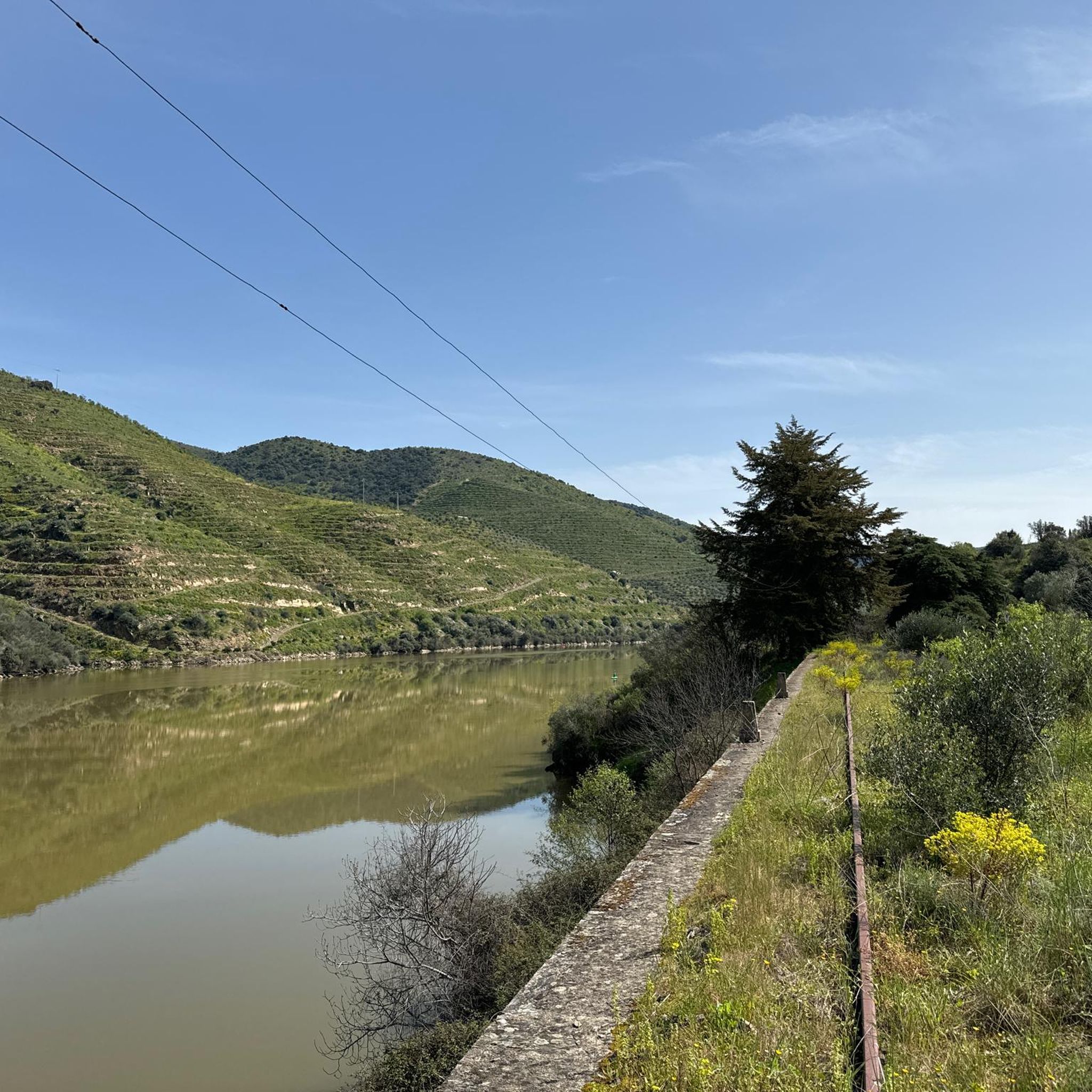
Hiking around Castelo Melhor offers trails through a landscape characterized by rocky mountain peaks and the confluence of the Côa and Douro river valleys. The terrain primarily consists of granite and schist, providing varied elevation changes. This region, part of the Alto Douro wine area, features extensive vineyards, olive groves, and almond trees. The village itself is situated at approximately 450 meters above sea level, providing panoramic views.
Best hiking trails around Castelo Melhor
- The most popular hiking route is…
Last updated: October 28, 2026
4.7
(6)
77
hikers
3.10km
01:08
200m
200m
Easy hike. Easily walkable paths.
4.2
(5)
9
hikers
9.07km
02:42
270m
270m
Moderate hike. Good fitness required. Easily walkable paths.

4.4
(5)
17
hikers
Moderate hike. Good fitness required. Easily walkable paths.
5.0
(3)
14
hikers
6.38km
01:43
80m
80m
Easy hike. Easily walkable paths.
4.5
(2)
8
hikers
4.43km
01:18
110m
110m
Easy hike. Easily walkable paths.
Our route recommendations are based on thousands of hikes, rides, and runs completed by other people on komoot.
Start today with a free account
Your next adventure awaits.
Popular around Castelo Melhor
Tips from the Community

Unfortunately, the picture does not show Vega de Terron, but the small settlement of houses called Valicobo, a little further up and about 2.5km away. Vega de Terron is the pier - the pier is Vega de Terron
0
0
Built in the 1950s, you can walk on the road almost without danger. It feels like you can count the cars that change sides of the river here on four hands a day.
0
0
The last place on the Douro before the border with Spain. Small, sleepy and practically completely explorable on foot in 20 minutes. In return, it is fantastically situated in terms of scenery.
0
0
Crossing on foot is (unfortunately) no longer allowed. A special experience at night, but take a flashlight with you! There are more than enough tripping hazards!
0
0

The Pocinho Road-Railway Bridge, also known as the Pocinho Bridge, is a road-rail infrastructure of the Linha do Sabor, which crosses the Douro River in the Municipality of Vila Nova de Foz Côa, in Portugal; it is closed to service, for both types of traffic. The construction of a bridge at this location, with two superimposed decks, was foreseen by the Plan of the Complementary Network North of Mondego, dated February 15, 1900.
0
0

The Escadaria de Acesso ao Passeio Ribeirinho significantly shortens the walk for pedestrians between the path along the riverbank and the parking lot at the road bridge over the river. According to the Komoot map, you previously had to walk under the bridge to reach the top in a long loop. The stairs were rebuilt in March 2024 by the Município de Figueira de Castelo Rodrigo (the municipality), as the old structure was completely destroyed and abandoned. They consist of raised wooden structures resting directly on the ground. Barca d'Alva is a popular stop for Douro cruises, and these stairs facilitate the descent to the river quay and the walking path, from where you can enjoy breathtaking views of the Douro, the bridge, and the surrounding gorges. They contribute to the revitalization of the place, which had lost importance since the closure of the railway line (the Linha do Douro) in 1988. Today, it is a highlight for nature lovers and photographers, especially at sunset.
1
0
The bridge was designed and built in 1955 by the renowned Portuguese engineer Edgar Cardoso. It is considered the first motorway bridge in the Portuguese section of the Douro River and is a concrete arch bridge with a length of approximately 300 meters. It is named after the Portuguese naval officer and colonial administrator Almirante Manuel Maria Sarmento Rodrigues, who served as governor of Guinea and Mozambique under the Salazar dictatorship and later became Minister of Colonies.
1
0
When it was closed in 1985, the region lost its direct connection; the bridge fell into disrepair for decades and was inaccessible for a long time. Only in recent years has the entire route been reopened to hikers and visitors as the "Camino de Hierro" (Iron Way). Crossing the bridge offers spectacular views of the Águeda Gorge and the terraced landscapes of olive, almond, and vineyards. Today, it is an industrial monument and also a tourist highlight in the Arribes del Duero Natural Park.
1
0
Frequently Asked Questions
What kind of terrain can I expect on hikes around Castelo Melhor?
The hiking trails around Castelo Melhor feature a landscape characterized by rocky mountain peaks and the confluence of the Côa and Douro river valleys. The terrain primarily consists of granite and schist, offering varied elevation changes. You'll also find extensive vineyards, olive groves, and almond trees, especially in the wider Alto Douro wine region.
Are there any easy hiking trails suitable for beginners or families?
Yes, there are several easy routes. For example, the Côa Museum – Stairway to Douro loop from Antigo apeadeiro de Coa is an easy 3.1 km trail that offers views of the Côa Museum and the Douro River. Another easy option is the Barca d'Alva – Vega Terrón River Port loop from Barca d'Alva, which is 6.1 km long with minimal elevation gain.
What are some notable landmarks or attractions I can see while hiking?
Many trails offer views of significant landmarks. The medieval Castelo de Castelo Melhor itself is a central attraction, offering panoramic views from its hilltop. You can also explore the Côa Museum, which serves as a gateway to the nearby Côa Valley Archaeological Park, famous for its ancient rock art. The Ponte Almirante Sarmento Rodrigues and the Vega Terrón River Pier and Railway Bridge are also points of interest along river routes.
Are there any circular hiking routes available?
Yes, several routes are designed as loops. The Côa Museum – Stairway to Douro loop from Antigo apeadeiro de Coa is a popular circular option. Another is the Old Douro Railway Bridge loop from Pocinho, which explores the area around the historic railway bridge.
What do other hikers say about the trails in Castelo Melhor?
The routes in Castelo Melhor are highly rated by the komoot community, with an average score of 4.4 stars from over 30 reviews. Hikers often praise the stunning panoramic views of the Douro and Côa valleys, the historical sites, and the diverse natural settings like olive orchards and vineyards.
Is there public transport available to reach hiking trailheads in Castelo Melhor?
While Castelo Melhor is a small village, local bus routes connect it to Vila Nova de Foz Côa, which may offer connections to some trailheads. However, for direct access to many hiking starting points, especially those outside the village center, a personal vehicle is often more convenient.
Where can I park my car when hiking in Castelo Melhor?
Parking is generally available within Castelo Melhor village, particularly near the castle or in designated areas. For specific trailheads outside the village, it's advisable to check the route details on komoot, as some popular starting points may have small parking areas.
Are dogs allowed on the hiking trails around Castelo Melhor?
Many rural trails in the region are generally dog-friendly, especially if kept on a leash. However, specific rules may apply in protected areas like the Côa Valley Archaeological Park. It's always best to check local signage or park regulations if you plan to hike with your dog in such sensitive areas.
What is the best time of year to go hiking in Castelo Melhor?
The region offers beautiful scenery throughout the year. Spring (March to May) and autumn (September to November) are particularly pleasant, with milder temperatures and vibrant colors from the vineyards and almond trees. Summer can be hot, making early morning or late afternoon hikes preferable, while winter offers a different, often quieter, experience.
Are there any challenging hikes for experienced hikers?
While many routes are easy to moderate, the mountainous terrain around Castelo Melhor, with its granite and schist composition, offers rewarding hikes with considerable elevation changes. Routes like the Barca d'Alva – Vega Terrón River Port loop from Antiga estação de Barca d'Alva, at nearly 12 km, provide a longer and more strenuous experience, exploring diverse landscapes and historical sites.
Can I find places to eat or stay in Castelo Melhor after a hike?
Castelo Melhor, being a traditional Portuguese village, offers local establishments where you can find authentic cuisine and potentially accommodation. The wider municipality of Vila Nova de Foz Côa also provides more options for restaurants, cafes, and guesthouses.
Most popular routes around Castelo Melhor
Most popular attractions around Castelo Melhor

Get inspired with the komoot mobile app


Explore more
Browse the best Hikes in other regions.
