The best running trails around Alcoentre
4.3
(3)
224
runners
18
runs
Jogging routes around Alcoentre offer diverse terrain for runners. The region is characterized by the elevated landscapes of the Serra de Montejunto, providing varied elevations and paths. Additionally, the flat, serene wetland environment of Paúl de Manique do Intendente offers a different running experience. These natural features combine to create a range of options for outdoor activity.
Best jogging routes around Alcoentre
- The most popular jogging route is Rota dos moínhos — circular route in Serra de Montejunto, a 6.2 miles (10.0 km) difficult trail that takes 1 hour 23 minutes to complete. This route features significant elevation gain within the Serra de Montejunto.
- Another top favourite among local runners is Trilho da Quinta da Serra — circular route in Serra de Montejunto, a moderate 3.0 miles (4.9 km) path. This running route offers a shorter, less strenuous option through the natural surroundings of the Serra.
- Local runners also love the Trail of the Carreiro dos SS — circular route in the Serra de Montejunto, a 5.3 miles (8.5 km) trail leading through the elevated terrain of the Serra de Montejunto, often completed in about 1 hour 9 minutes.
- Jogging around Alcoentre is defined by the varied elevations of the Serra de Montejunto and the flat, biodiverse wetlands of Paúl de Manique do Intendente. The network offers options for different ability levels, from moderate paths to more challenging routes.
- The routes in Alcoentre are highly rated by the komoot community with an average score of 4.0 stars from over 2 reviews. More than 200 runners have used komoot to explore Alcoentre's varied terrain.
Last updated: May 15, 2026
4.3
(3)
16
runners
9.98km
01:23
440m
440m
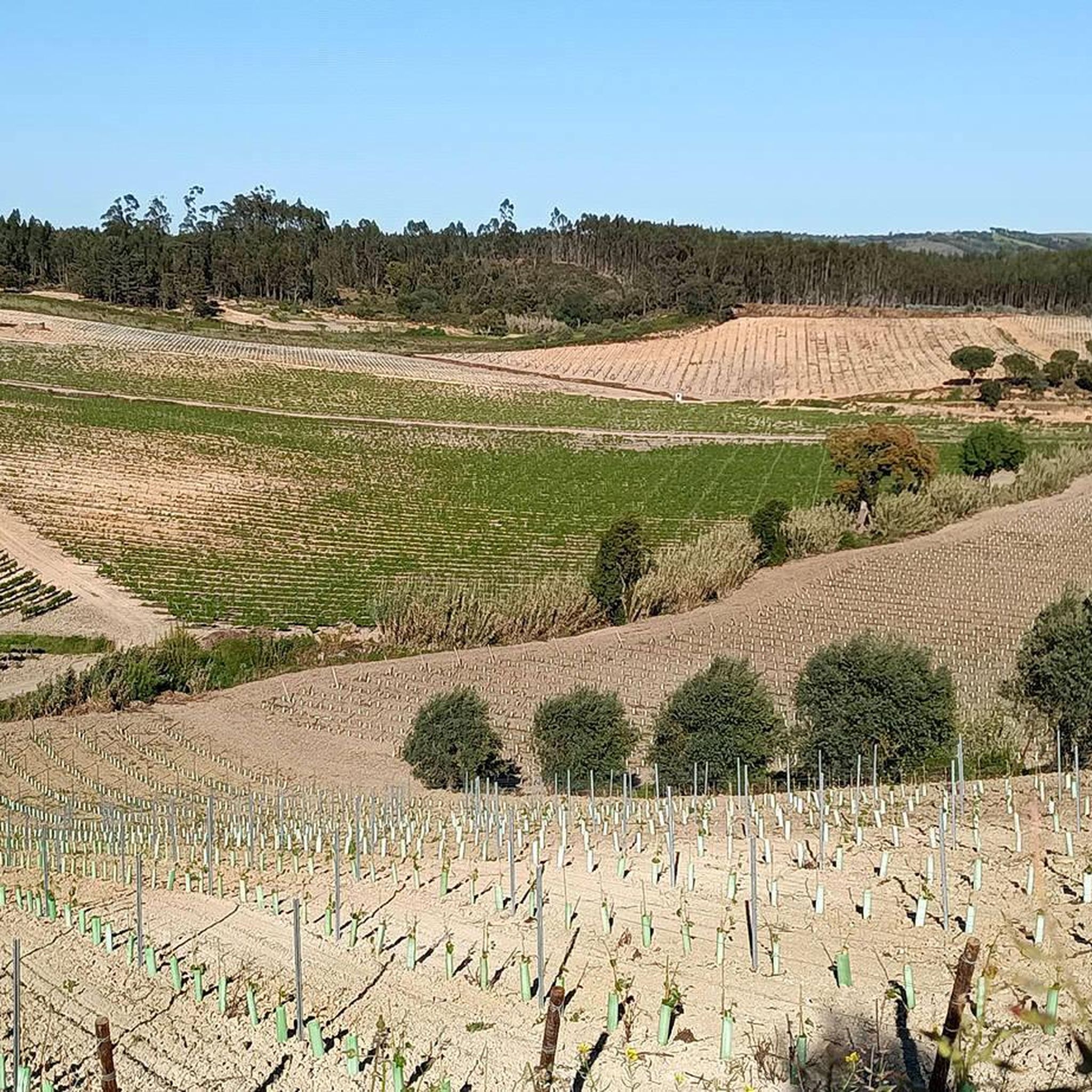
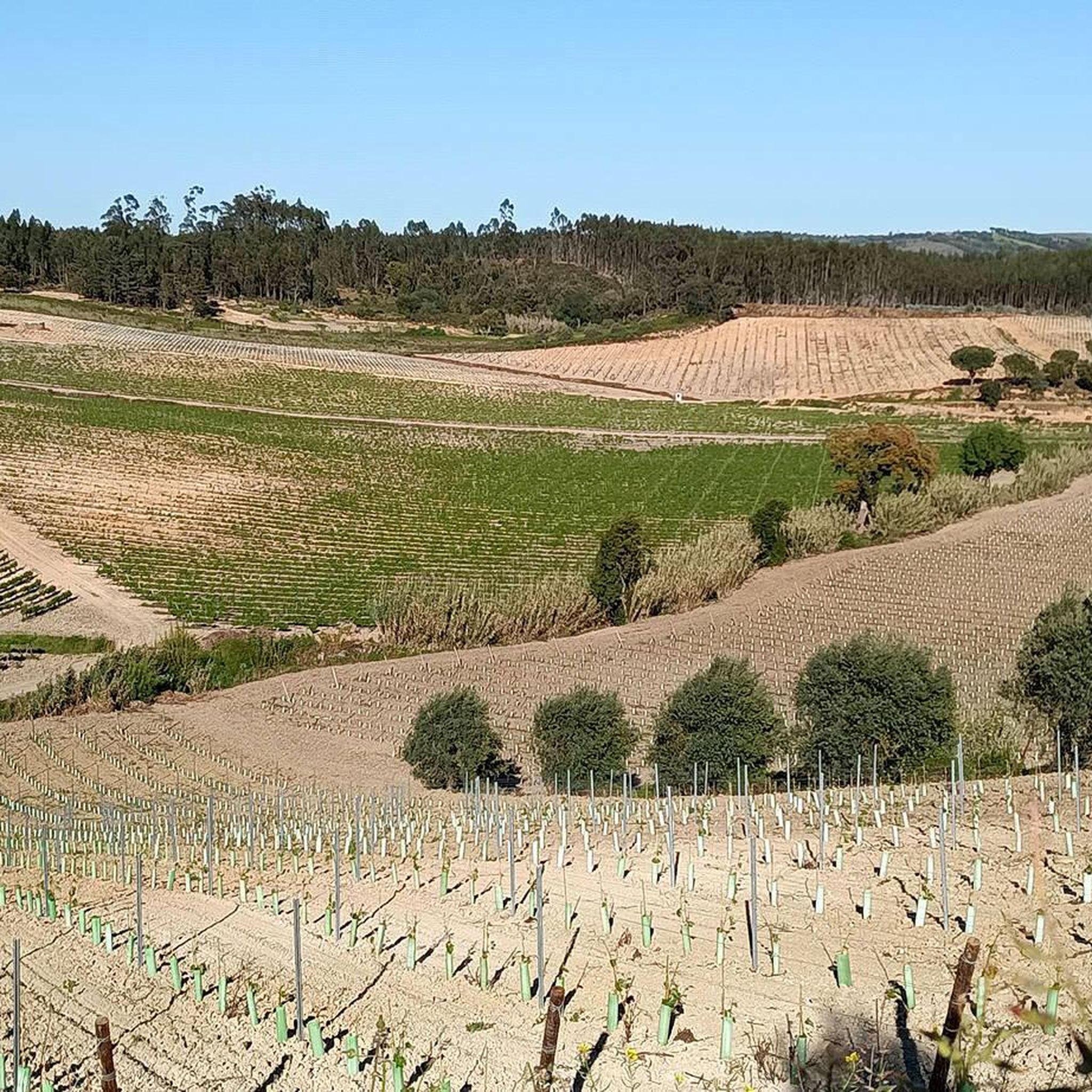
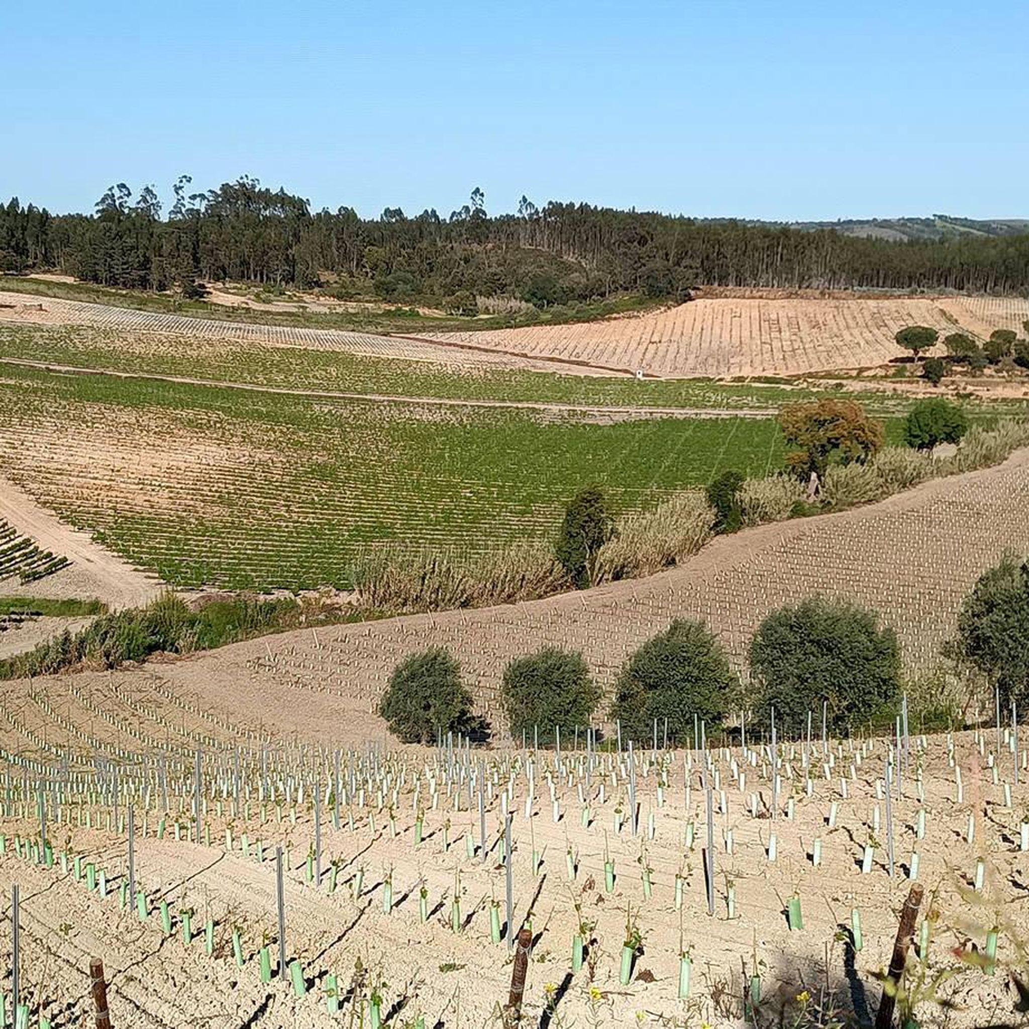
Jog the difficult 6.2-mile Rota dos Moinhos in Serra de Montejunto, featuring windmills, panoramic views, and 1460 feet of elevation gain.
4
runners
4.88km
00:36
80m
80m
Jog the moderate 3.0-mile Quinta da Serra Trail in Serra de Montejunto, enjoying panoramic views and diverse forest scenery.

Sign up for free
5.0
(1)
2
runners
8.54km
01:09
350m
350m
This difficult 5.3-mile (8.5 km) jogging route in Serra de Montejunto offers panoramic views, varied terrain, and historical landmarks.
79
runners
Hard run. Very good fitness required. Mostly accessible paths. Some sure footedness required.
5
runners
Hard run. Very good fitness required. Mostly accessible paths. Some sure footedness required.
Get access to more routes and recommendations from other explorers.
Sign up for free
Already have an account?
Our route recommendations are based on thousands of hikes, rides, and runs completed by other people on komoot.
Start today with a free account
Your next adventure awaits.
Login or Signup
Tips from the Community

At this location at the top of the Serra de Montejunto, also known as "Torre" due to the various antennas that were installed there, is the Chapel of Our Lady of the Snows, which may have been built in the 13th century and remodelled and expanded during the 16th century and later. Inside, the altars covered with 17th century tiles and the altarpiece of the main altar, from the 18th century, stand out. Next to the Chapel of Our Lady of the Snows, are the ruins of what is considered to be the first Dominican Convent in Portugal, built in the 12th century and abandoned after the extinction of the religious orders, and is currently in ruins. Also nearby are the ruins of the Royal Ice Factory, classified as a National Monument. Here, in the 18th century, the Dominican monks took advantage of the climatic and geological conditions and opened large tanks connected by narrow passages, one part for the production of ice and the other for its preparation, storage and conservation. The ice was later transported to Lisbon, to supply the court and the café at Terreiro do Paço, later known as Martinho da Arcada (Fernando Pessoa's Café)
2
0

The karst landscape of Montejunto, in the extreme southwest of the Estremenho Limestone Massif, displays deep valleys, lages, gravel pits and lapiás, formed by aquatic erosion over geological eras. Freezing of water in rock fissures results in gravel deposits.
0
0
The Nossa Senhora das Neves Chapel, located at the top of the Serra de Montejunto, has been a place of pilgrimage since the medieval period, prior to the construction of the first Dominican monastery in the 13th century.
1
0
The karst landscape of Montejunto, in the extreme southwest of the Estremenho Limestone Massif, displays deep valleys, lages, gravel pits and lapiás, formed by aquatic erosion over geological eras. Freezing of water in rock fissures results in gravel deposits.
2
0
The Serra de Montejunto Forest Watch Station can be accessed via a pastoral trail from the picnic park. It offers a beautiful panorama of the region north of the Serra.
3
0
The Serra de Montejunto picnic area is next to the Interpretation center and a little further from the campsite. Nearby there is a small bar and toilets.
3
0
The Serra do Montejunto Rural Camping Park is located close to the Environmental Interpretation Center and the Real Fábrica do Gelo. With capacity for 90 people, 24 tents and 6 motorhomes, it has sanitary facilities separated by sex, a communal barbecue area and designated areas for washing dishes and drying clothes.
3
1
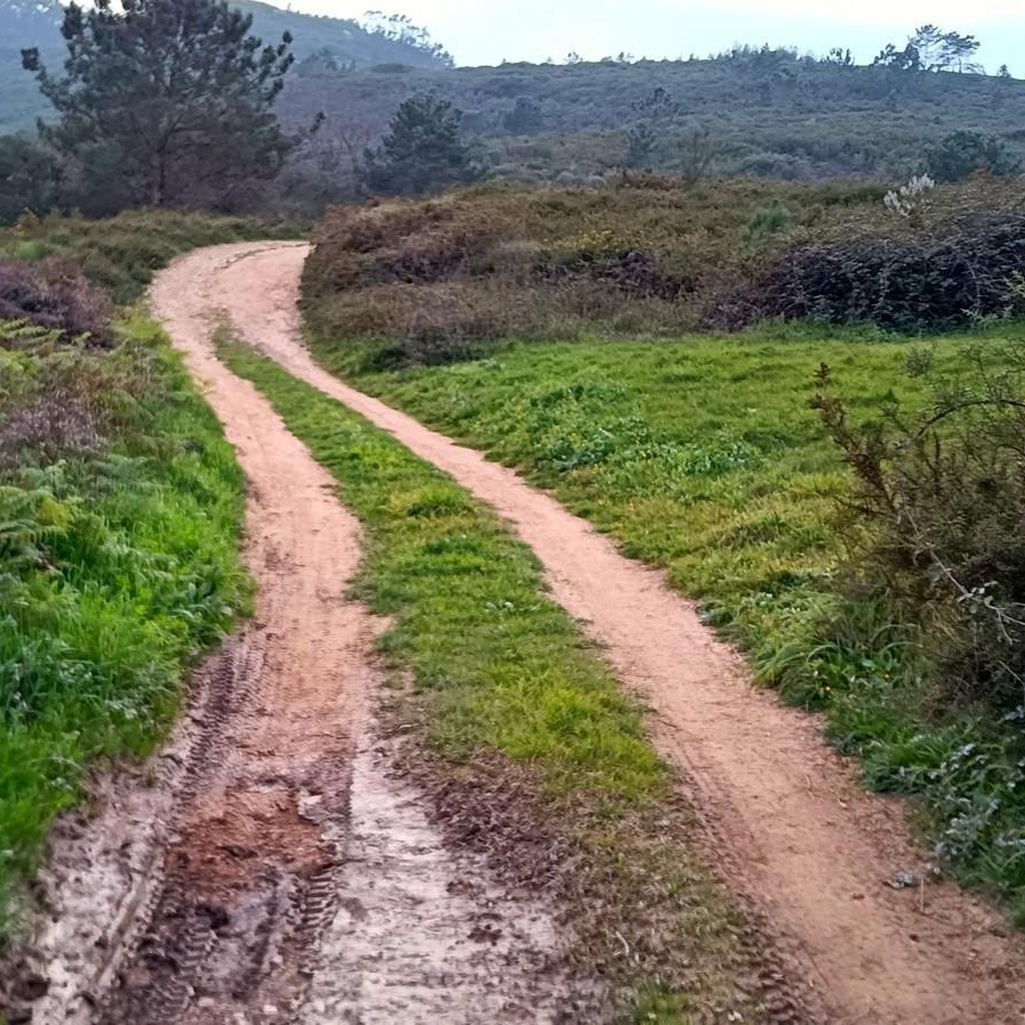
Very pleasant path that runs around Montejunto. It offers beautiful landscapes of the region. Some sections have loose stone floors, so it is worth paying attention.
1
0
Frequently Asked Questions
What kind of terrain can I expect on the running trails around Alcoentre?
The running routes in Alcoentre offer a diverse range of terrain. You'll find varied elevations and paths within the Serra de Montejunto, providing challenging uphill runs. In contrast, the Paúl de Manique do Intendente offers serene, flat trails through wetlands, ideal for a different kind of running experience.
Are there any long-distance running routes in Alcoentre?
Yes, for those looking for a longer challenge, the Meia Encosta Trail – Chapel of Saint John the Baptist loop from Paisagem Protegida da Serra de Montejunto is a significant option. This difficult route spans over 25 kilometers (15.5 miles) with considerable elevation gain, offering an extensive workout.
Can I find circular running routes in the Alcoentre region?
Absolutely. Many of the trails around Alcoentre are circular, allowing you to start and finish at the same point. For example, the Trilho da Quinta da Serra is a moderate 4.9 km (3.0 miles) circular route through the Serra de Montejunto, perfect for a less strenuous run.
What are some notable landmarks or points of interest I might see while jogging in Alcoentre?
While running in Alcoentre, especially within the Serra de Montejunto, you might encounter historical and natural landmarks. The Chapel of Our Lady of the Snows (Ruins) is located at the summit of Serra de Montejunto. You can also find the Windmills of Serra de Montejunto, offering scenic views.
Are there any viewpoints along the running trails in Alcoentre?
Yes, the elevated landscapes of the Serra de Montejunto provide several opportunities for panoramic views. The Serra de Montejunto Watchtower is a prominent viewpoint where you can take in the surrounding scenery during your run.
What do other runners say about the trails in Alcoentre?
The running routes in Alcoentre are highly regarded by the komoot community, with an average rating of 4.0 stars. Runners often praise the varied terrain and the natural beauty of the Serra de Montejunto and the tranquil wetlands of Paúl de Manique do Intendente.
Are there any running routes that explore the natural features of Paúl de Manique do Intendente?
While specific routes through the Paúl de Manique do Intendente are not detailed, the area is known for its flat, serene wetland environment and rich biodiversity. It's an excellent spot for a peaceful run, offering a different experience from the mountainous trails of Serra de Montejunto. The Paúl de Manique do Intendente itself is a significant natural highlight.
How many running routes are available in the Alcoentre area?
There are nearly 20 dedicated running routes around Alcoentre listed on komoot. These include a mix of moderate and difficult trails, providing options for various fitness levels and preferences.
Are there any facilities or campsites near the running trails in Serra de Montejunto?
Yes, within the Serra de Montejunto, you can find the Montejunto Rural Campsite. It's equipped with shaded areas, a bar, a tourist reception center, and an Environmental Interpretation Center, making it a convenient hub for runners exploring the natural surroundings.
What is the elevation gain like on the more challenging running routes?
The more challenging routes in the Serra de Montejunto can feature significant elevation gain. For instance, the Rota dos moínhos, a difficult 10 km (6.2 miles) route, involves an ascent of over 440 meters (1,440 feet).
Are there any running routes suitable for beginners or those looking for an easier run?
While many routes in Alcoentre are rated moderate to difficult, options like the Trilho da Quinta da Serra offer a shorter, moderate 4.9 km (3.0 miles) path with less strenuous elevation, making it a good choice for a more relaxed run.
Most popular routes around Alcoentre
Most popular attractions around Alcoentre

Get inspired with the komoot mobile app


Explore more
Browse the best Running Trails & Routes in other regions.
