The best mountain hikes around São Jorge
4.8
(64)
407
hikers
10
hikes
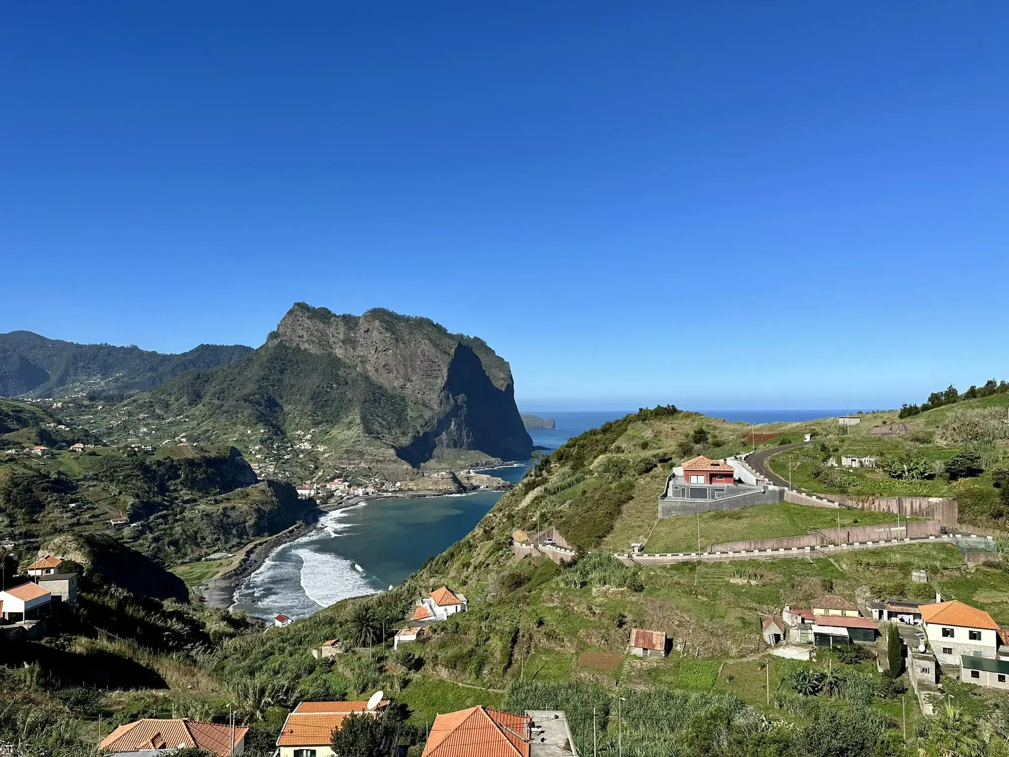
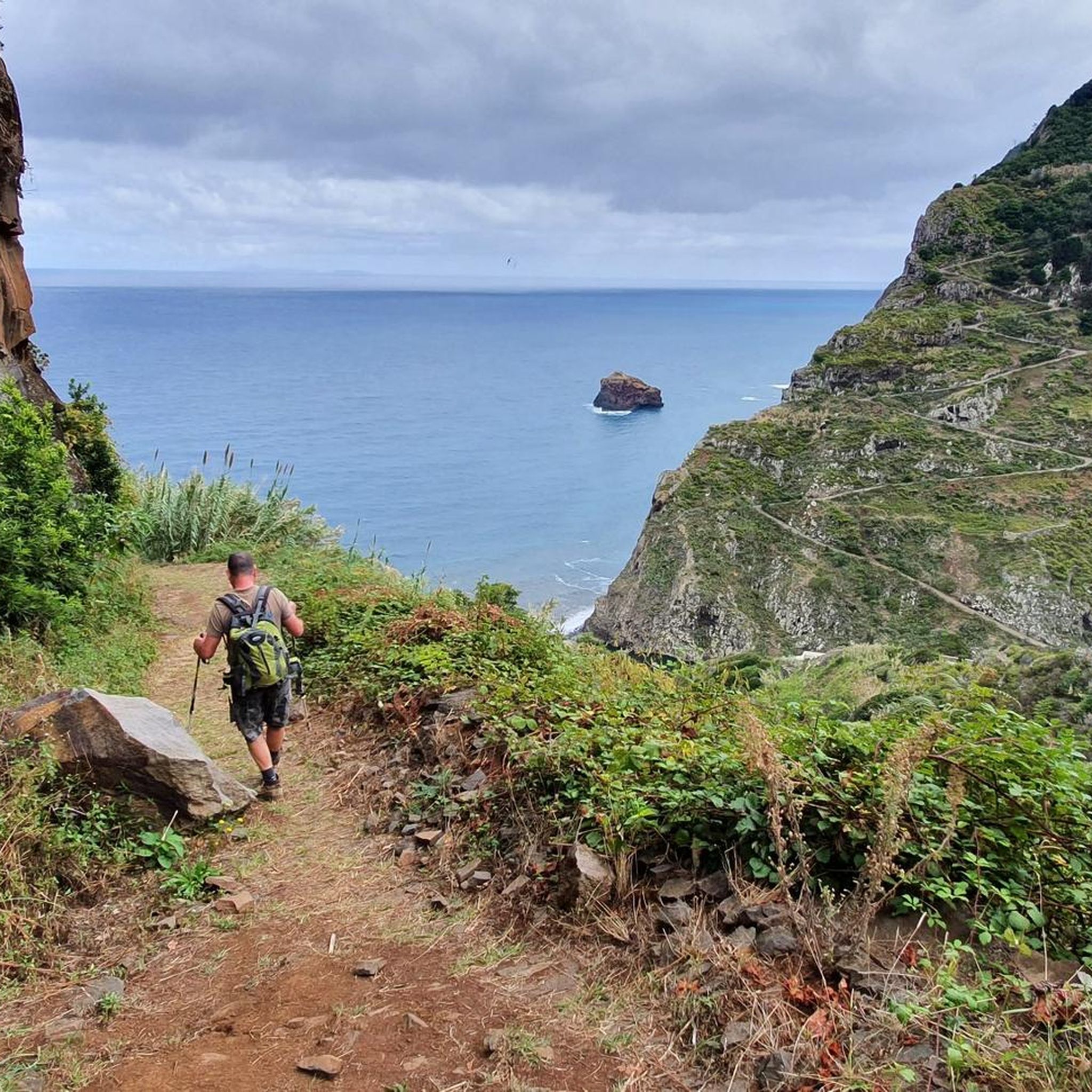
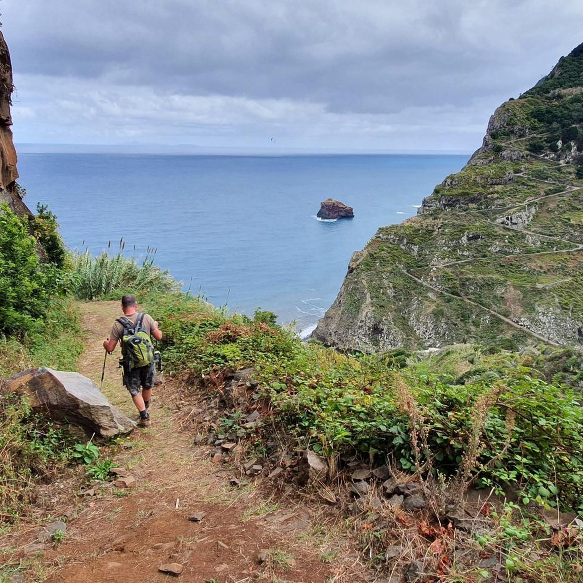
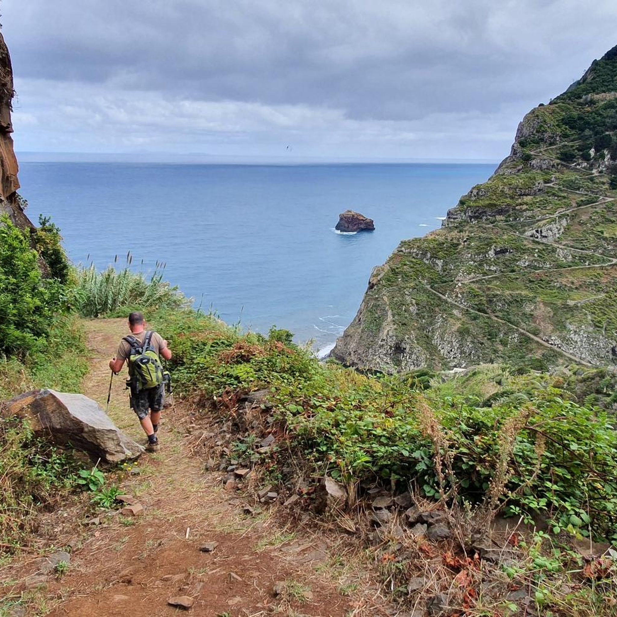
Mountaineering routes around São Jorge traverse a landscape defined by dramatic cliffs, volcanic formations, and a central ridge culminating at Pico da Esperança, the island's highest point at 1,053 meters (3,455 feet). The island is characterized by its unique fajãs, flat coastal plains formed by ancient lava flows or landslides, many of which are accessible via steep trails. This terrain offers a diverse range of challenges for mountaineers, from coastal paths to ascents through protected volcanic areas.
Best mountaineering routes…
Last updated: October 7, 2026
4.9
(18)
104
hikers
9.20km
04:42
750m
760m
Hard mountaineering route. Good fitness required. Sure-footedness, sturdy shoes and alpine experience required.
4.9
(14)
106
hikers
3.97km
01:39
250m
250m
Hard mountaineering route. Great for any fitness level. Sure-footedness, sturdy shoes and alpine experience required.

4.7
(9)
38
hikers
19.1km
07:48
1,300m
1,280m
Hard mountaineering route. Very good fitness required. Mostly accessible paths. Sure-footedness required.
5
hikers
13.8km
07:25
1,240m
1,250m
Hard mountaineering route. Very good fitness required. Sure-footedness, sturdy shoes and alpine experience required.
4.8
(5)
25
hikers
Moderate mountaineering route. Good fitness required. Easily-accessible paths. Suitable for all skill levels.
Get access to more routes and recommendations from other explorers.
Already have an account?
Our route recommendations are based on thousands of hikes, rides, and runs completed by other people on komoot.
Start today with a free account
Your next adventure awaits.
Other adventures around São Jorge

Tips from the Community

An unforgettable path down into the crater
0
0
Incredible views of the crater!
0
0

A good parking lot for hikes with still pleasant parking fees. You can also drive up to the summit, but there you can only park for 1 hour at double the parking fee compared
0
0

Breathtaking views from the hiking trail. Fortunately, ropes are attached to the boundary posts, which many hikers gladly use. Whether going uphill or downhill, they simply provide a sense of security.
7
0
This viewpoint is also worth seeing for sunrise. However, the path from the parking lot at Rio Arieiro to the start of the Ninho da Manta trail was completely icy when we were there. It only became passable once the sun thawed the ice.
5
0

The section of the Levada do Caldeirão trail between the cliffs leads you close to vertical walls, often offering spectacular views down into the valley. The gentle murmur of the levada accompanies you, while above you, rocks and vegetation form an almost tunnel-like effect – a true sense of adventure is guaranteed. Take care on the narrow, sometimes wet path and enjoy the unique photo opportunities along the way.
1
0
From the saddle in Madeira Natural Park, the view opens up far across rugged mountains, deep valleys, and, depending on the weather, all the way to the coast. Clouds often drift across the slopes, creating constantly changing light. It's the perfect spot for a breather, a few photos, and a long, expansive view before continuing on the trail.
1
0
The Pico Ruivo mountain hut lies just below the summit and is the perfect spot for a break in the thin mountain air. Here you can take shelter, have something to eat, refill your water bottles, and gather your strength for the final ascent. It's ideal for enjoying the view of the surrounding ridges before continuing on to Madeira's highest point.
1
0
Frequently Asked Questions
What kind of terrain can I expect on mountaineering routes in São Jorge?
São Jorge offers a dramatic and varied landscape for mountaineering. You'll encounter rugged cliffs, especially along the northern coast, and a central volcanic ridge that culminates at Pico da Esperança, the island's highest point. Many routes also lead to unique coastal plains known as fajãs, formed by ancient lava flows or landslides, which are often only accessible on foot. Expect a mix of challenging ascents and paths through lush forests and pastures.
Are there any challenging mountaineering routes for experienced hikers?
Yes, São Jorge has several challenging routes. For instance, the Pico Ruivo Summit – View of Pico do Areeiro loop from Viveiro Florestal do Pico das Pedras is an 11.2 miles (18.0 km) trail that takes around 7 hours 20 minutes to complete, featuring significant elevation changes. Another difficult option is the Pico Grande (1,654 m) – End of the Trail at Pico Grande loop from Nuns Valley, which covers 8.9 miles (14.3 km) with substantial elevation gain.
What are some notable viewpoints or natural attractions along the mountaineering paths?
São Jorge is rich in stunning natural attractions. You can find incredible vistas like the Mountain view from Achada do Teixeira. Many routes lead to the island's iconic fajãs, such as Fajã da Caldeira de Santo Cristo, known for its lagoon, or Fajã dos Cubres with its crystal-clear waters. The island's volcanic origins are evident in its unique rock formations and dramatic cliffs.
Are there any routes that feature waterfalls?
Yes, São Jorge's rugged terrain includes several beautiful waterfalls. While mountaineering, you might encounter highlights such as the Caldeirão Verde Waterfall, or the Waterfall at the entrance to Fajã do Rodrigues Tunnel. The island's deep ravines and canyons, like Ribeira do Prego, are also known for their cascades.
How many mountaineering routes are available in São Jorge?
There are over 10 dedicated mountaineering routes around São Jorge listed on komoot, offering a range of experiences. These include 4 moderate and 8 difficult trails, ensuring options for various skill levels.
What do other mountaineers say about the routes in São Jorge?
The mountaineering routes in São Jorge are highly regarded by the komoot community, boasting an average rating of 4.8 stars from nearly 100 reviews. Over 600 mountaineers have explored the island's varied terrain, often praising the dramatic cliffs, unique coastal fajãs, and the challenging ascents.
Are there any circular mountaineering routes in São Jorge?
Yes, several routes are designed as loops, allowing you to start and end in the same location. For example, the Pico Ruivo Summit – View of Pico do Areeiro loop from Achada do Teixeira is a popular circular trail. Another option is the Pico do Arieiro – Ninho da Manta Viewpoint loop from Areeiro, which is a difficult but rewarding circular path.
What is the highest point I can reach on a mountaineering route in São Jorge?
The highest point on São Jorge is Pico da Esperança, standing at 1,053 meters (3,455 feet) above sea level. Trails leading to its summit cross the island's central ridge, offering panoramic views of the central Azorean islands on clear days.
Are there any facilities or shelters along the mountaineering trails?
Yes, some routes and areas provide facilities for mountaineers. You might find shelters like the Queimadas House or the Encumeada Baixa Shelter. There's also a Shelter with Picnic Area at Pico Ruivo, and the Poiso Trailhead and Rest Area offers a convenient starting point with amenities.
What are the unique coastal plains (fajãs) and how can I explore them?
The fajãs are distinctive flat coastal plains formed by ancient lava flows or landslides at the base of steep cliffs, unique to São Jorge. The island has over 40 of these, many of which are best explored on foot via dedicated hiking trails. Notable ones include Fajã da Caldeira de Santo Cristo, Fajã dos Cubres, and Fajã do Ouvidor, each offering unique natural beauty and often natural pools for swimming.
What is a good route for someone looking for a moderate mountaineering experience?
For a moderate mountaineering experience, consider the Ninho da Manta Viewpoint – Pedra Rija Viewpoint loop from Areeiro. This route covers approximately 4.3 miles (6.9 km) and takes around 2 hours 30 minutes, offering beautiful viewpoints without the extreme difficulty of some longer trails.
Most popular routes around São Jorge
Most popular attractions around São Jorge

Get inspired with the komoot mobile app


Explore more
Browse the best Mountain Hikes & Routes in other regions.
