Top 10 Running Trails around Louriceira
4.0
(2)
336
runners
41
runs
Jogging routes around Louriceira traverse a diverse landscape, featuring paths along rivers, coastal sections, and cliff-top trails. The region includes stretches through dunes and sandy roads, alongside rolling hills with lush vegetation. This varied terrain offers different surfaces and inclines for runners. The area provides a mix of challenging ascents and more level paths.
Best jogging routes around Louriceira
- The most popular jogging route is Cabeça Gorda Viewpoint – Vale Garcia Ascent loop from Minde, a 35.0 miles (56.4…
Last updated: October 11, 2026
29
runners
56.4km
08:07
2,470m
2,470m
Hard run. Very good fitness required. Mostly paved surfaces. Suitable for all skill levels.
25
runners
16.4km
02:14
590m
590m
Hard run. Very good fitness required. Mostly paved surfaces. Suitable for all skill levels.

7
runners
18.4km
02:16
240m
240m
Hard run. Very good fitness required. Mostly accessible paths. Some sure footedness required.
13
runners
12.2km
01:36
400m
400m
Hard run. Very good fitness required. Mostly paved surfaces. Suitable for all skill levels.
5
runners
14.5km
01:47
240m
240m
Moderate run. Good fitness required. Mostly paved surfaces. Suitable for all skill levels.
Get access to more routes and recommendations from other explorers.
Already have an account?
Our route recommendations are based on thousands of hikes, rides, and runs completed by other people on komoot.
Start today with a free account
Your next adventure awaits.
Tips from the Community

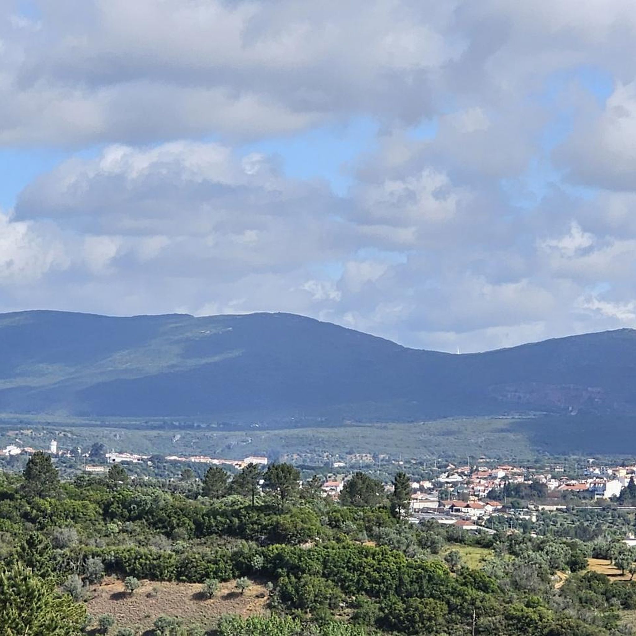
Near the top of Cabeça Gorda, this viewpoint overlooks the Mira de Aire lagoons and the small town below. Here, a picnic area invites you to take a break: whether to stretch your legs in the sun or take shelter in the shade, depending on your body and the moment.
1
0
The Serra de Aire stands as the highest point of the Estremenho Limestone Massif, crowning its 678 metres at the geodesic vertex. Up here, the horizon opens up generously: to the south stretches the Tertiary Tagus Basin, lowered by the Arrife thrust and marked by ochre tones of sand and clay; to the west and southwest rise the Santo António plateau and the Serra dos Candeeiros. And if the sky cooperates, the view also reaches Montejunto, the sea in the distance and, to the north, the highlands of São Mamede up to Ourém and Fátima.
1
0
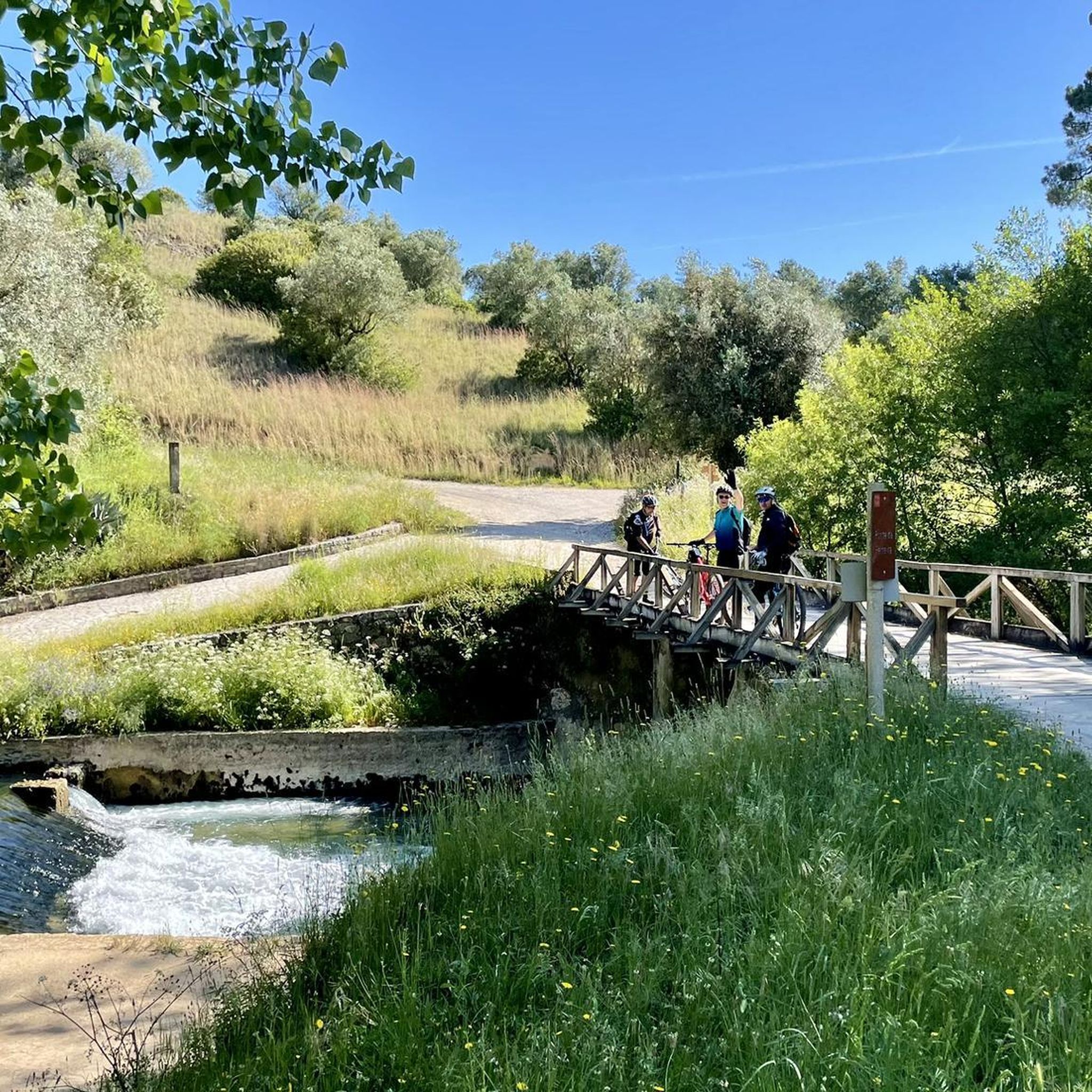
The Garcia Valley hides a narrow and wild trail, where the bush almost blocks the path, but that is precisely what makes it special for runners. The classic climb is a real test for the legs: 200 meters of elevation gain in just one kilometer. Short, tough and full of charm.
1
1
Frequently Asked Questions
How many running routes are available in the Louriceira area?
There are over 40 dedicated running routes around Louriceira, offering a wide range of options for different fitness levels and preferences. The majority of these routes are classified as moderate to difficult, providing a good challenge for experienced runners.
Are there any easy jogging routes for beginners in Louriceira?
While many routes in Louriceira are rated moderate to difficult, the region's diverse terrain means there are paths suitable for various fitness levels. Currently, komoot lists 14 moderate routes. For a less strenuous experience, look for routes with minimal elevation gain or shorter distances, though truly 'easy' routes are less common here.
What kind of terrain can I expect on the jogging trails around Louriceira?
The running trails in Louriceira traverse a varied landscape, including paths through rolling hills with lush vegetation, and sections that might feature sandy roads or more rugged terrain. You can expect a mix of surfaces and inclines, providing an engaging experience for runners.
Are there any long-distance running trails in Louriceira?
Yes, for those seeking a significant challenge, Louriceira offers several long-distance running trails. One notable option is the Cabeça Gorda Viewpoint – Vale Garcia Ascent loop from Minde, which spans 56.4 km (35.0 miles) and features substantial elevation gain, making it a difficult but rewarding run.
Can I find circular running routes in Louriceira?
Many of the running routes in Louriceira are designed as loops, allowing you to start and finish at the same point. For example, the Lagoa de Minde – Lagoa Larga loop from Minde is a popular 18.4 km (11.4 miles) circular trail that takes you through varied landscapes.
What natural landmarks or points of interest can I see while running in Louriceira?
The Louriceira area is rich in natural beauty. You can explore highlights such as the View of the Polje de Minde, or discover geological formations like the Grutas de Mira de Aire and Algar da Cerejeira. The PR3 Hiking Trail – Serras de Aire e Candeeiros Natural Park also offers scenic sections.
What do other runners say about the trails in Louriceira?
The running routes in Louriceira are highly regarded by the komoot community, holding an average rating of 4.0 stars from over 2 reviews. More than 300 runners have explored the area, often praising the varied terrain and the engaging challenge offered by the trails.
Are there any advanced or challenging running trails in Louriceira?
Absolutely. Louriceira is known for its challenging routes, with 27 trails classified as difficult. These often feature significant elevation changes and varied surfaces. A good example is the Cabeço Morto – Lapa do Picareiro loop from Minde, a 16.4 km (10.2 miles) path with notable ascents.
Are the running trails in Louriceira well-marked?
While specific marking details can vary by trail, many routes in similar Portuguese regions are part of established networks like the Rota Vicentina, which typically feature small red and yellow signposts. It's always recommended to use a reliable navigation tool like komoot to stay on track.
Can I find a moderate-difficulty running route in Louriceira?
Yes, there are 14 routes classified as moderate in Louriceira. One such option is the Running loop from São Bento, which covers 14.5 km (9.0 miles) and offers a balanced challenge without the extreme difficulty of some longer trails.
What kind of vegetation and wildlife might I encounter on the trails?
The region features rolling hills covered in lush vegetation, including aromatic plants like wild rosemary and thyme. While specific wildlife sightings can vary, the natural environment provides opportunities to observe local flora and fauna, especially in quieter sections of the trails.
Most popular attractions around Louriceira

Get inspired with the komoot mobile app


Explore more
Browse the best Running Trails & Routes in other regions.
