The best road cycling routes around Louriceira
3.9
(10)
694
riders
82
rides
Road cycling routes around Louriceira traverse a landscape characterized by a mix of river valleys, historical towns, and agricultural areas. The region features varied terrain, with routes passing by notable landmarks such as castles and cultural sites. Elevations vary, offering both flatter sections and moderate climbs suitable for road cycling. The area provides a diverse environment for exploring on two wheels.
Best road cycling routes around Louriceira
- The most popular road cycling route is Golegã – Carlos Relvas House-Studio loop…
Last updated: May 12, 2026
61
riders
117km
05:00
890m
890m
Moderate road ride. Good fitness required. Some segments of this route may be unpaved and difficult to ride.
31
riders
90.3km
03:48
590m
590m
Moderate road ride. Good fitness required. Mostly well-paved surfaces and easy to ride.

Sign up for free
28
riders
46.2km
02:06
430m
430m
Moderate road ride. Good fitness required. Mostly well-paved surfaces and easy to ride.
28
riders
90.5km
04:14
970m
970m
Hard road ride. Very good fitness required. Some segments of this route may be unpaved and difficult to ride.
28
riders
73.4km
03:12
660m
660m
Moderate road ride. Good fitness required. Mostly well-paved surfaces and easy to ride.
Get access to more routes and recommendations from other explorers.
Sign up for free
Already have an account?
Our route recommendations are based on thousands of hikes, rides, and runs completed by other people on komoot.
Start today with a free account
Your next adventure awaits.
Login or Signup

Tips from the Community

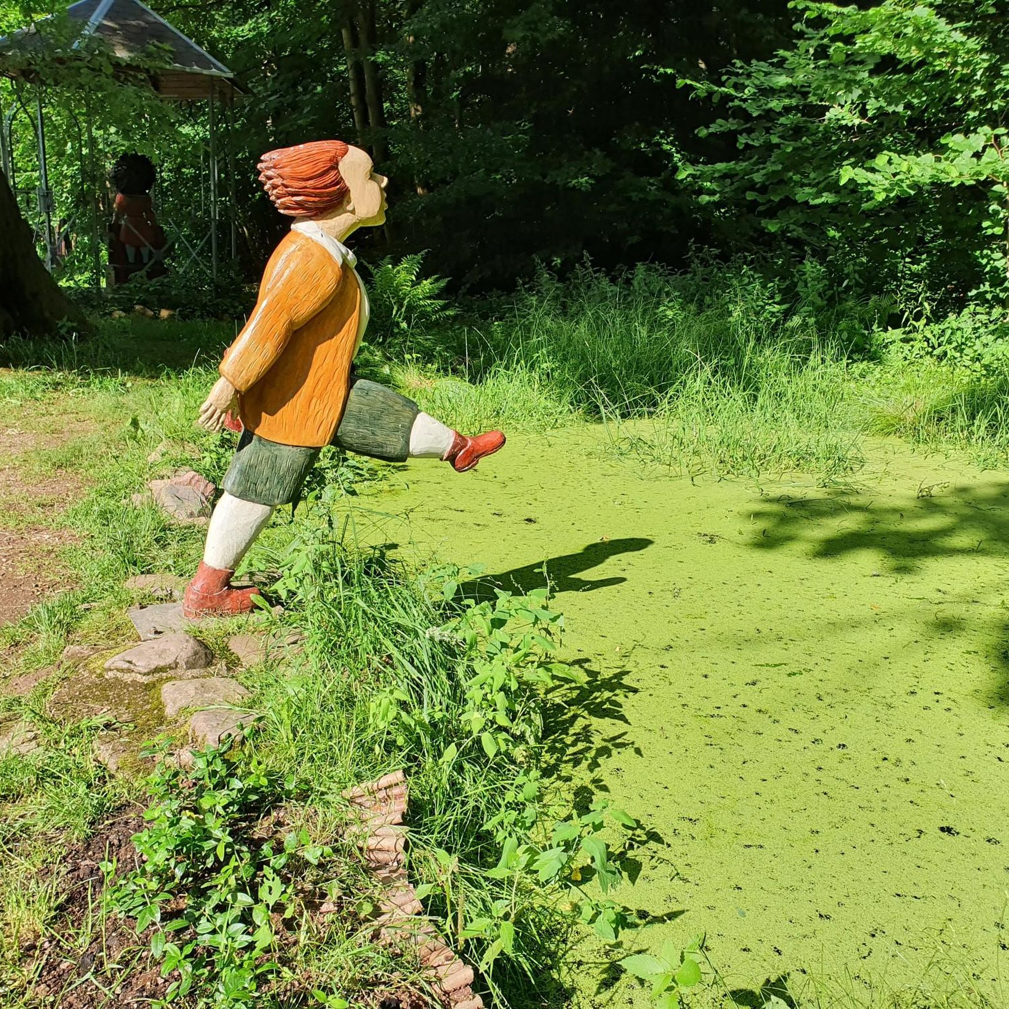
A wonderful, unusual monument to a difficult job and the people who did it.
4
1

Machine used for road maintenance in the 1970s. Employees nicknamed it the Black Widow.
18
0

A peaceful spot for a picnic, with several mountain bike trails nearby, as well as paved roads. A good starting point for some walks.
0
0

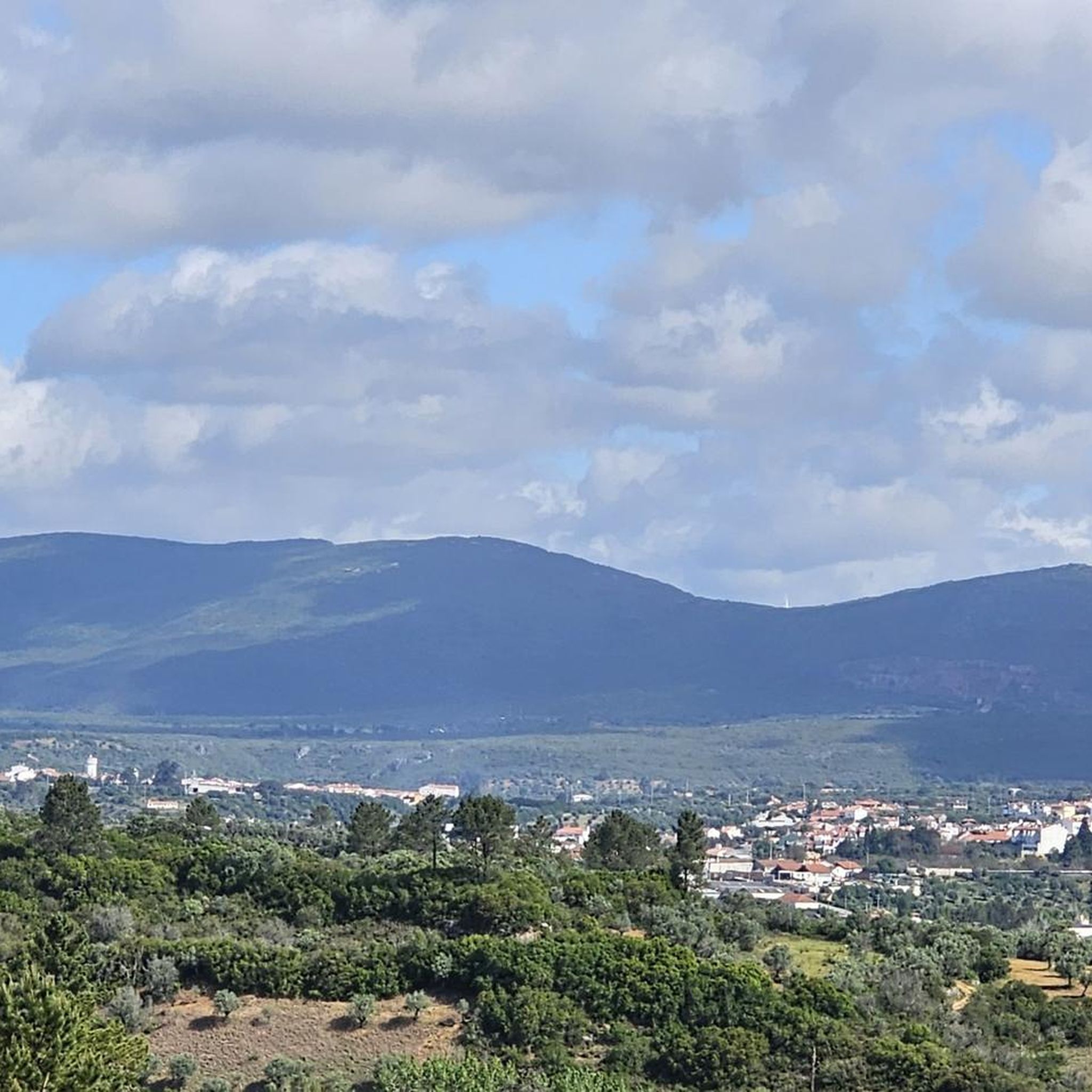
Gorgeous views! The climb to Alqueidão da Serra is tough for beginners.
1
0

Salt is extracted from shallow, concrete or stone pans of varying sizes, where saltwater drawn from a well is conveyed through ditches. Currently, the water is pumped by a motor and distributed according to a system that is generally accepted and respected (not always) by all the owners. Drainpipes, threshing floors, and wooden salt storage houses complete the complex known as the Rio Maior Salt Pans. According to technicians, a large and deep rock salt mine, traversed by an underground stream that feeds a well, makes the extracted water salty, seven times saltier than seawater. The salt is obtained from its exposure to the sun and wind, and the resulting evaporation of the water. This salt is deposited at the bottom of the pans, which are then piled up in pyramid-shaped heaps to dry until harvest. The process is rudimentary and similar to that used in seaside salt mines. The only difference is the picturesque valley that surrounds them, the well, the unique style of the sailors (as the men who work in the salt mines are known), the wooden houses and the country air that you breathe.
0
0

In the village of Casais Robustas, along the road to Fatima, there's a very nice café filled with trophies from the pilgrims—flags, shirts, and other items. The staff is very friendly to the pilgrims.
0
0
Bus stop built with the same material as the Chamusca bridge
14
0
Frequently Asked Questions
What kind of terrain will I encounter on road cycling routes around Louriceira?
Road cycling routes around Louriceira feature a diverse landscape, characterized by river valleys, historical towns, and agricultural areas. You can expect varied terrain, including both flatter sections and moderate climbs, with some routes passing by notable landmarks and cultural sites.
Are there road cycling routes suitable for beginners in Louriceira?
Yes, Louriceira offers several beginner-friendly road cycling routes. Out of the 82 available routes, 5 are classified as easy, providing a good starting point for those new to road cycling in the region.
Where can I find challenging road cycling routes in the Louriceira area?
For more challenging rides, Louriceira has 15 routes classified as difficult. An example is the Olhos d'Água Waterfall – Porto de Mós Castle loop from Amiais de Baixo, which covers 56.2 miles (90.5 km) with significant elevation gain, offering a demanding experience.
What are some scenic viewpoints or natural attractions along the road cycling routes?
Many routes offer scenic views and pass by natural attractions. You might encounter highlights such as the Peão Fountain - Monsanto, or enjoy views like the View of the Polje de Minde. The region also features caves like Grutas de Mira de Aire and Algar da Cerejeira.
Are there historical landmarks or cultural sites to explore while road cycling?
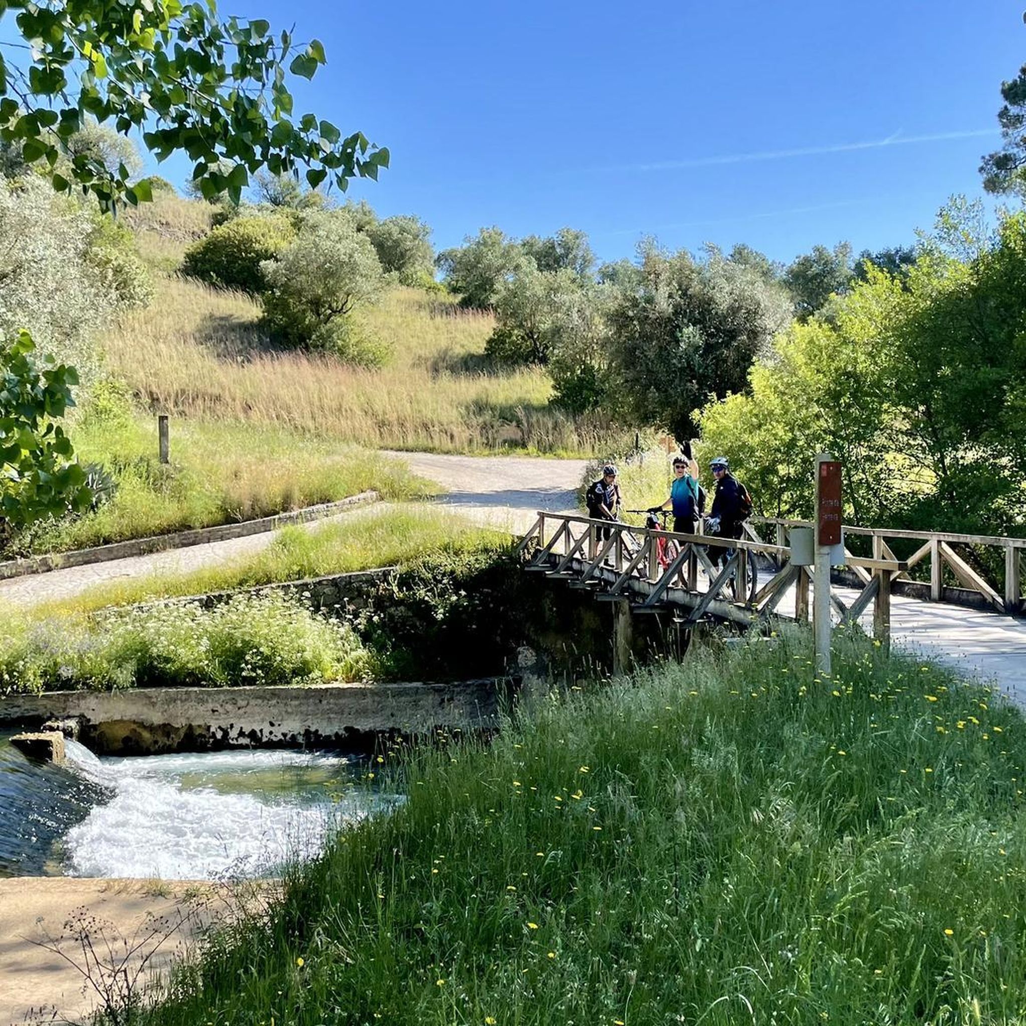
Absolutely. Road cycling routes in Louriceira often lead past historical and cultural sites. For instance, the Valley Near Pedrogão – Castelo De Torres Novas loop from Alcanena takes you past historical castles. Other routes may feature bridges like Ponte da Ferreira or explore areas with rich history.
What is the best time of year for road cycling in Louriceira?
The spring (March to May) and autumn (September to November) months generally offer the most pleasant weather for road cycling in Louriceira, with milder temperatures and less rainfall. Summers can be hot, while winters are typically mild but may have more rainy days.
Are there any road cycling routes that pass by waterfalls?
Yes, some routes incorporate natural features like waterfalls. The Olhos d'Água Waterfall – Porto de Mós Castle loop from Amiais de Baixo is an example of a route that includes a waterfall, offering a refreshing stop along your ride.
What do other road cyclists say about the routes in Louriceira?
The road cycling routes in Louriceira are highly rated by the komoot community, with an average score of 3.75 stars from over 10 reviews. Cyclists often praise the varied terrain, the mix of cultural landmarks, and the scenic beauty of the river valleys and agricultural landscapes.
Are there options for longer road cycling tours in Louriceira?
Yes, Louriceira offers several longer road cycling tours. The Golegã – Carlos Relvas House-Studio loop from Alcanena is a substantial 72.8 miles (117.2 km) route, while the Golegã – Ponte D. Luís I of Santarém loop from Alcanena covers 56.1 miles (90.3 km), both providing extensive rides.
Can I find road cycling routes that include stops at local cafes or villages?
Many routes in Louriceira pass through or near charming villages and towns, providing opportunities to stop at local cafes or restaurants. The region's agricultural areas and historical towns are well-suited for such breaks, though specific cafe information is best checked on individual route pages.
What is the typical elevation gain on road cycling routes in Louriceira?
Elevation gain varies significantly across routes in Louriceira, reflecting the region's diverse terrain. Moderate routes like the Peão Fountain - Monsanto – Salinas de Rio Maior loop from Alcanena might have around 656 meters (2,152 feet) of ascent, while more challenging routes can exceed 900 meters (2,950 feet).
Most popular attractions around Louriceira

Get inspired with the komoot mobile app


Explore more
Browse the best Road cycling routes in other regions.
