The best MTB trails around Oliveira
4.8
(6)
56
riders
7
rides
Mountain biking around Oliveira, Portugal, offers routes through a landscape characterized by river valleys, notably the Douro, and surrounding hills. The region features varied terrain, including forest pathways and areas with significant elevation changes. These natural features provide diverse settings for mountain bike trails.
Best mountain bike trails around Oliveira
- The most popular mountain bike trail is View of the Douro Valley – Start of the Ecopista do Corgo loop from Régua, a 26.6 miles (42.9 km) trail that…
Last updated: September 29, 2026
5.0
(3)
23
riders
43.1km
03:41
1,060m
1,060m
Hard mountain bike ride. Very good fitness required. Advanced riding skills necessary.
8
riders
57.7km
03:55
960m
960m
Hard mountain bike ride. Very good fitness required. Suitable for all skill levels.

4.0
(1)
6
riders
45.4km
02:59
720m
720m
Moderate mountain bike ride. Good fitness required. Suitable for all skill levels.
5
riders
20.2km
01:34
480m
480m
Moderate mountain bike ride. Good fitness required. Suitable for all skill levels.
3
riders
17.2km
01:12
320m
320m
Moderate mountain bike ride. Good fitness required. Suitable for all skill levels.
Get access to more routes and recommendations from other explorers.
Already have an account?
Our route recommendations are based on thousands of hikes, rides, and runs completed by other people on komoot.
Start today with a free account
Your next adventure awaits.
Tips from the Community

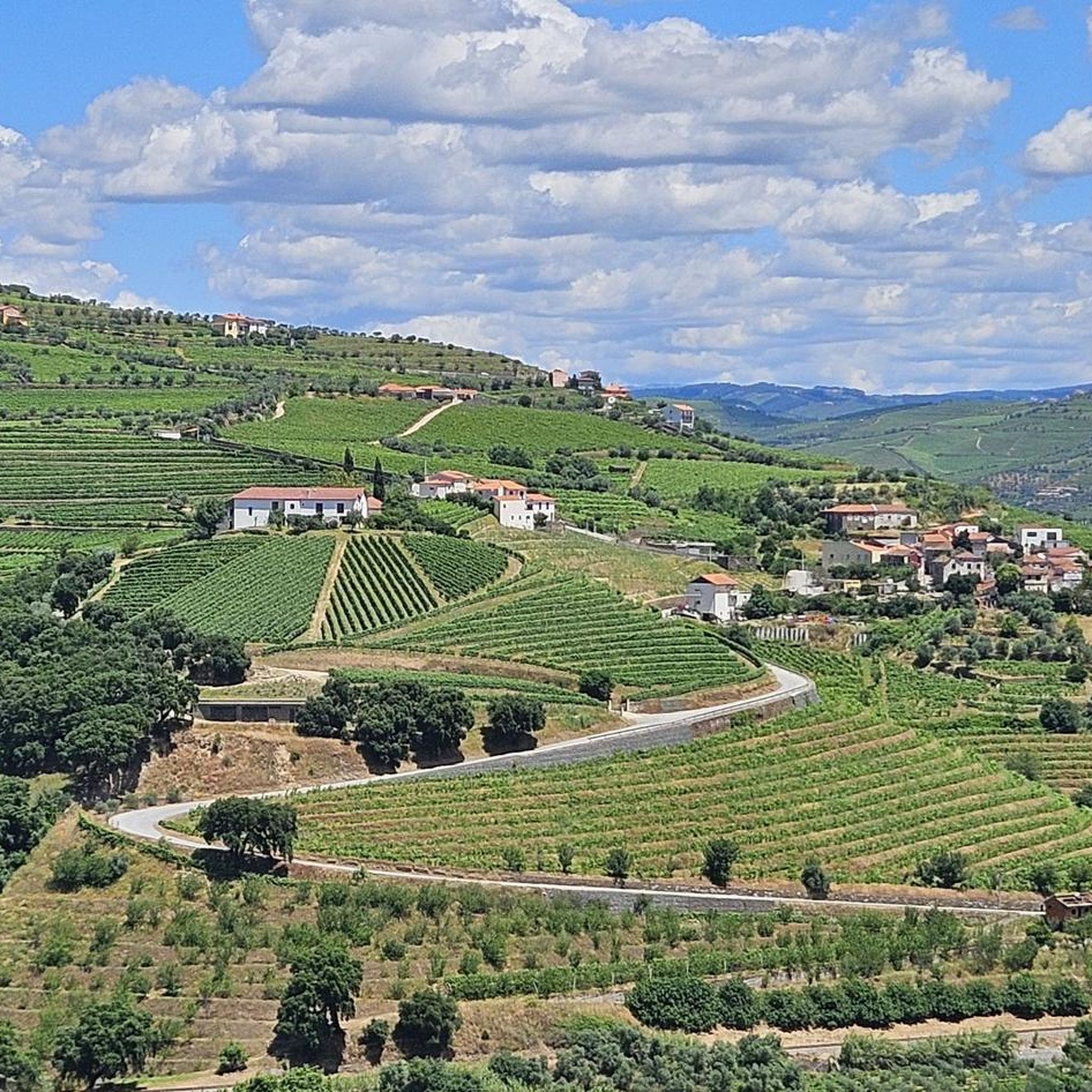
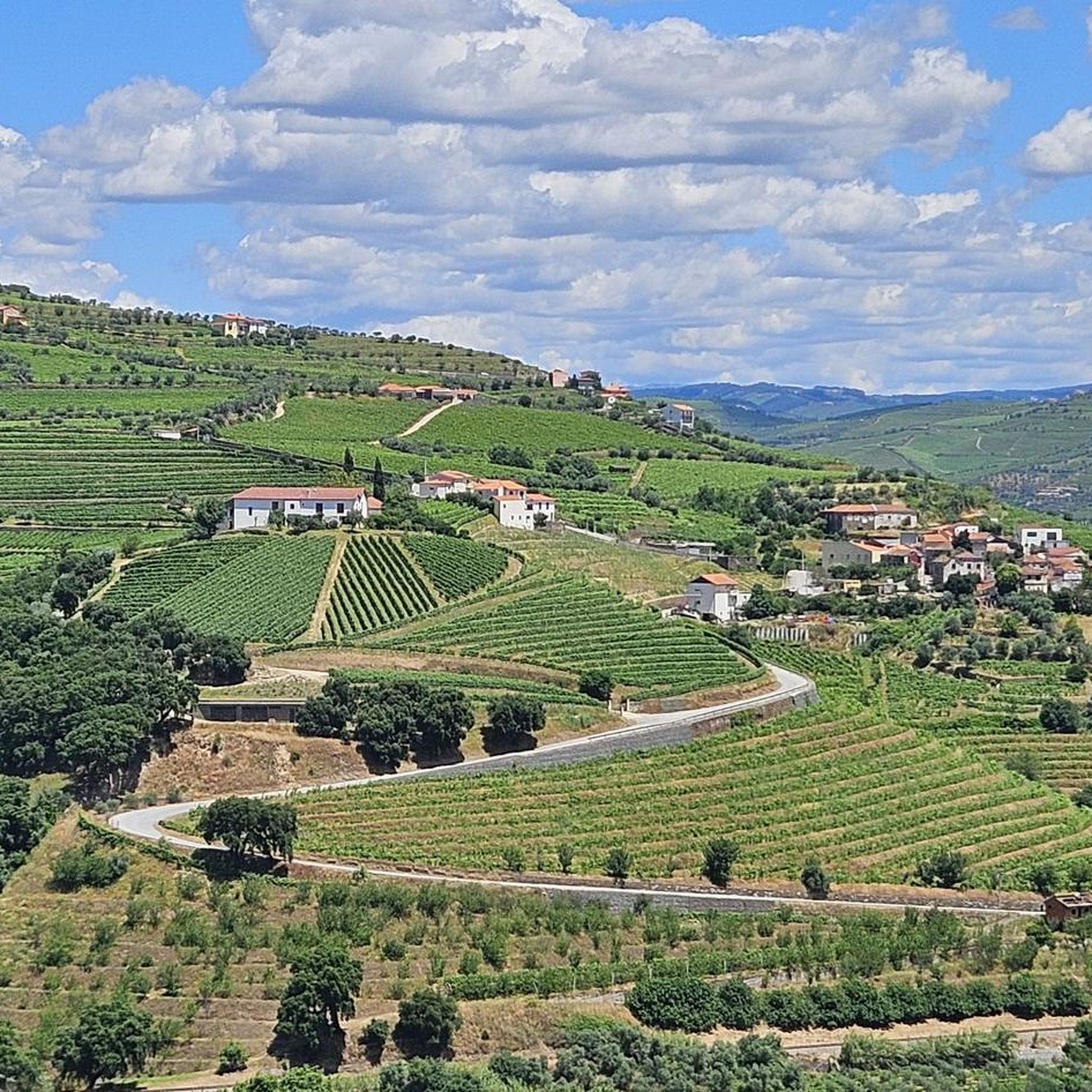
Particularly from the terrace of the nice restaurant, there are beautiful views of the Douro River, the village of Covelinhas and the village of Folgosa lying on the slope on the other side of the river.
1
0

The São Leonardo de Galafura viewpoint is one of the most emblematic and beautiful observation points in the Douro Valley, Portugal. Located at the highest point of Monte de São Leonardo, in the parish of Galafura, it offers an unparalleled view over the Douro landscape, classified as a World Heritage Site by UNESCO. Highlights and Information Panoramic View: From the viewpoint, it is possible to see the confluence of the Pêgo River with the Douro River in a curve that resembles a comma, a beautiful spot and perfect for watching an unforgettable sunset. Poetic Inspiration: The place served as inspiration for the Portuguese writer Miguel Torga, who described it poetically, highlighting the "excess of nature" in the landscape. Chapel: At the highest point of the viewpoint is the Chapel of São Leonardo, which complements the natural and historical scenery of the place. Activities: The area is suitable for hiking, and there are trails nearby that can be explored, such as those listed on Wikiloc. Location Address: Estrada São Leonardo - Galafura, Peso da Régua, 5050-044 Portugal. Access: Access is by road, and the viewpoint is a common stopping point on tours and excursions through the Douro region. For more details about the region and other attractions, you can consult the Douro Itinerary.
2
0

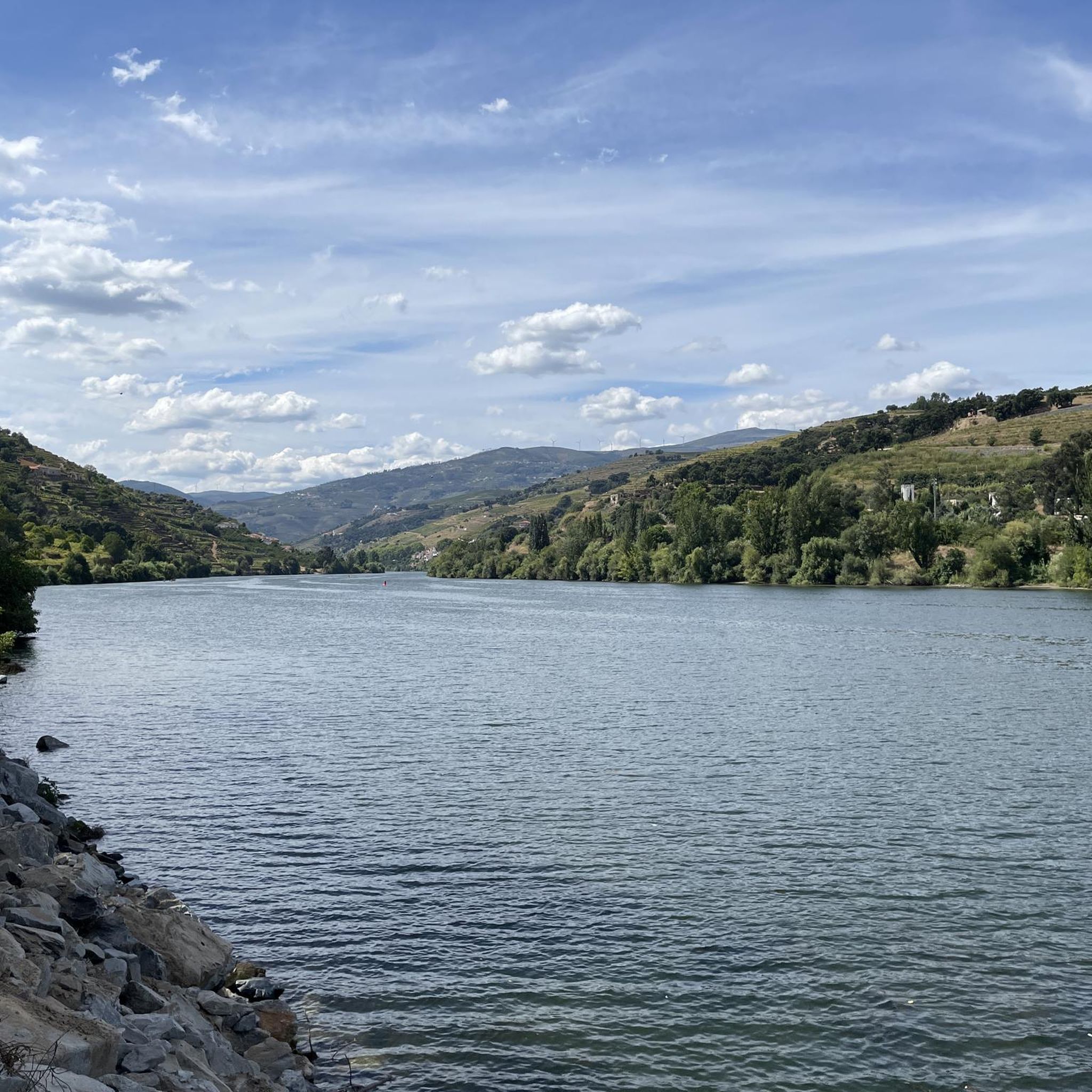
The parking area for motorhomes directly on the Douro River
1
0

A worthwhile museum, which scores points despite/or because of its very minimalist presentation of the subject matter. At the end, enjoy a port wine on the terrace of the museum's café.
1
0

The slopes of the Douro are truly spectacular. Stunning landscapes. 👍🥾
1
0
Thank you for sharing the spectacular photos.👍
0
0

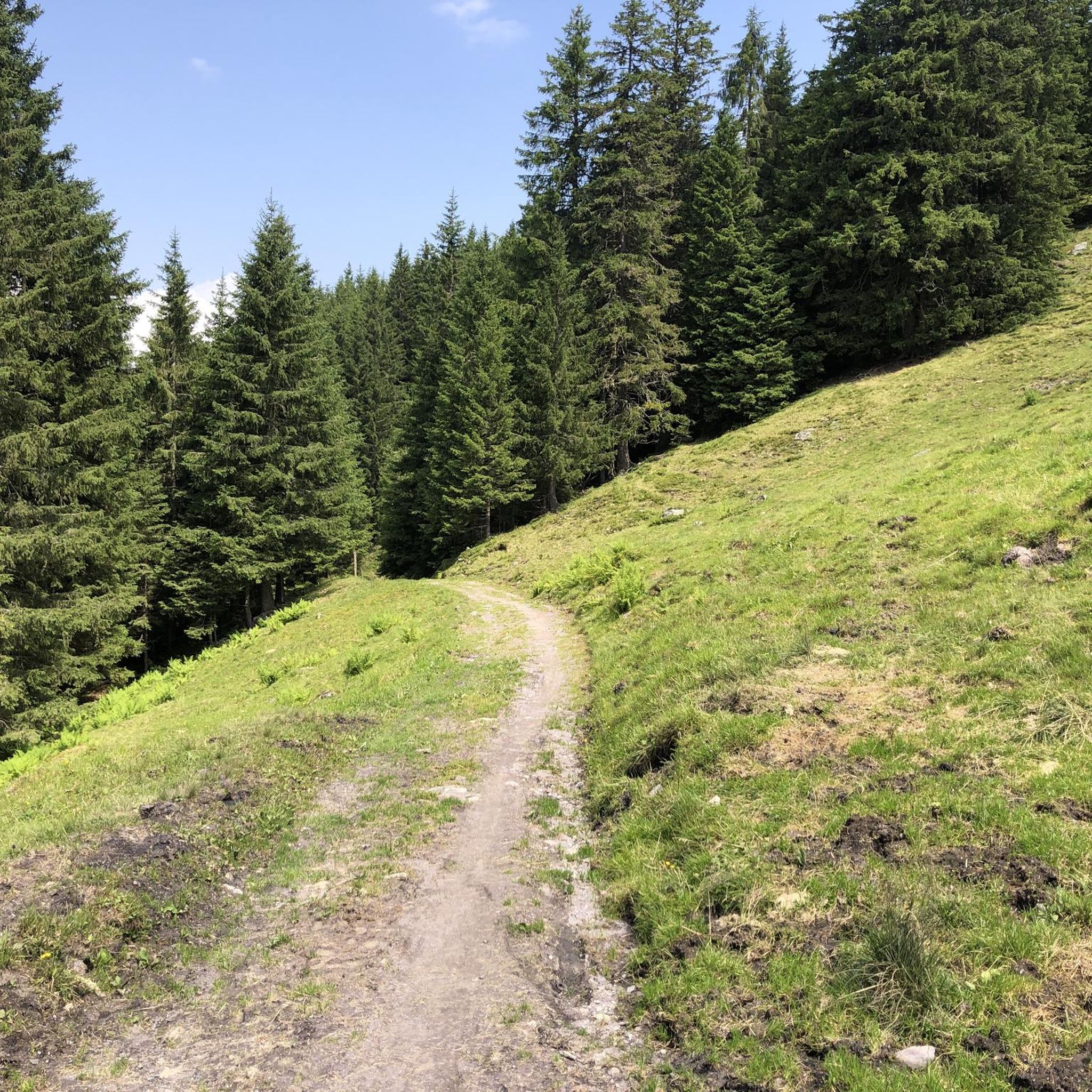
Unfortunately, at the beginning it is impossible to cycle!!!
0
0
The Corgo Eco-Trail is the result of the restoration of part of the old Corgo railway line, which connects Régua to Chaves. The Eco-Trail currently begins in Abambres, in the municipality of Vila Real, and continues north towards Chaves, connecting to Verín (Spain) via the Corgo International Eco-Trail. This is a panoramic route where the Corgo River is your travelling companion, as well as the Marão and Alvão mountains and the Vale de Aguiar, along a route where agricultural fields are a constant presence. Vineyards and fruit trees characterise the landscape and their colours, which vary depending on the time of year, form a natural and diverse palette of colours. In addition to all the existing railway heritage, Pedras Salgadas, Vidago and Chaves stand out, both known for their famous thermal waters. Would you like to download the route of this Eco-Trail? To read this file, you will need a GPS application designed for outdoor exercise.
0
0
Frequently Asked Questions
How many mountain bike trails are available around Oliveira?
There are 9 mountain bike trails around Oliveira documented on komoot, offering a range of experiences through the region's diverse landscapes.
What kind of terrain can I expect on mountain bike trails in Oliveira?
Mountain biking around Oliveira, Portugal, features varied terrain, including river valleys, vineyards, and forested hills. You'll encounter pathways with significant elevation changes, offering both challenging climbs and scenic descents.
Are there mountain bike trails suitable for advanced riders in Oliveira?
Yes, Oliveira offers several challenging routes for experienced mountain bikers. For instance, the View of the Douro Valley – Start of the Ecopista do Corgo loop from Régua is a difficult 42.9 km trail with over 1,050 m of ascent. Another demanding option is the Tourencinho Water Fountain – Carril Fountain loop from Régua, which spans 93.4 km with nearly 1,190 m of climbing.
What do other mountain bikers enjoy most about the trails in Oliveira?
The mountain bike routes in Oliveira are highly rated by the komoot community, with an average score of 4.3 stars. Riders often praise the expansive views of the Douro Valley, the varied terrain, and the opportunity to cycle through the picturesque wine region.
Are there any circular mountain bike routes in Oliveira?
Yes, many of the mountain bike routes in Oliveira are circular. Examples include the Alto de Vila Lobos loop from Lamego, the Quinta da Pacheca loop from Godim, and the Douro Valley Wine Route – View of the Douro Valley loop from Godim, all designed as loops for convenient exploration.
What natural features or landmarks can I see along the mountain bike trails in Oliveira?
The trails often pass through the scenic Douro Valley, offering views of the Douro River and its surrounding vineyards. You can also find historical points of interest nearby, such as Lamego Castle and the Régua Pedestrian Bridge. The region is characterized by its riverine landscapes and cultural heritage related to wine production.
Are there any moderate mountain bike trails for intermediate riders?
Absolutely. Oliveira offers several moderate trails perfect for intermediate riders. The Alto de Vila Lobos loop from Lamego is a moderate 33.5 km path with over 830 m of climbing, and the Douro Valley Wine Route – View of the Douro Valley loop from Godim is another moderate option covering 45.4 km.
What is the best time of year for mountain biking in Oliveira?
While specific seasonal data isn't provided, the region's climate, especially in the Douro Valley, is generally pleasant for outdoor activities. Spring and autumn typically offer cooler temperatures and less intense sun, making them ideal for mountain biking. Summers can be hot, while winters are milder but may bring more rain.
Are there any trails that go through the Douro wine region?
Yes, the Quinta da Pacheca loop from Godim is a 57.6 km trail that leads directly through the renowned Douro wine region, offering stunning views of vineyards and the opportunity to experience the area's viticultural landscape.
What are the typical distances and durations for mountain bike trails in Oliveira?
The mountain bike trails around Oliveira vary significantly in length and duration. You can find routes ranging from approximately 33.5 km, taking around 3 hours, up to 93.4 km, which can take over 6 hours to complete, depending on your pace and the trail's difficulty.
Are there any specific viewpoints along the mountain bike routes?
Many routes, such as the View of the Douro Valley – Start of the Ecopista do Corgo loop from Régua, are specifically highlighted for their expansive views of the Douro Valley. The region's hilly terrain and riverine setting naturally offer numerous scenic overlooks.
Most popular routes around Oliveira
Most popular attractions around Oliveira

Get inspired with the komoot mobile app


Explore more
Browse the best MTB trails in other regions.
