The best road cycling routes around Ester
5.0
(4)
144
riders
18
rides
Road cycling around Ester offers a diverse landscape with routes featuring significant elevation changes. The region provides varied terrain suitable for road cyclists seeking both moderate and challenging ascents. These routes navigate through areas with notable climbs, providing opportunities for endurance and scenic views. The network of road cycling routes in Ester caters to different fitness levels, with options ranging from moderate to difficult.
Best road cycling routes around Ester
- The most popular road cycling route is Santa Cristin Spring…
Last updated: October 1, 2026
40
riders
77.5km
04:07
1,340m
1,340m
Hard road ride. Very good fitness required. Some segments of this route may be unpaved and difficult to ride.
5.0
(2)
14
riders
49.6km
02:39
930m
930m
Hard road ride. Very good fitness required. Mostly well-paved surfaces and easy to ride.

12
riders
105km
05:25
1,740m
1,740m
Hard road ride. Very good fitness required. Mostly well-paved surfaces and easy to ride.
9
riders
37.9km
02:06
780m
780m
Moderate road ride. Good fitness required. Mostly well-paved surfaces and easy to ride.
4
riders
84.9km
04:43
1,870m
1,870m
Hard road ride. Very good fitness required. Mostly well-paved surfaces and easy to ride.
Get access to more routes and recommendations from other explorers.
Already have an account?
Our route recommendations are based on thousands of hikes, rides, and runs completed by other people on komoot.
Tips from the Community

Cathedral next to the Plaza do Rei Dom Duarte
1
0
Magnificent sculpture telling the story
1
0
Town Hall opposite the Bank of Portugal
0
0
Beautiful church in the center of Viseu
0
0

There is, I don't know if it corresponds to the highest point
0
0
Now national 2 has another attraction
0
0

At Portas de Montemuro, the landscape stretches out without limits. Here, tables and benches invite you to take a break and enjoy the view, while the national road 321, popular with cyclists, marks the 1,215 metres of altitude. The highest peak of the Montemuro mountain range, at 1,381 metres, is nearby, to the east. Nearby, the ruins of the Wall of Portas de Montemuro preserve echoes of a distant past. Mentioned in the Inquiries of 1258, they reveal traces of an ancient fortified settlement from the Iron Age, possibly linked to the Castro culture. Later, the site was reused by the Romans and, at the time of the Reconquista, by D. Afonso Henriques, the first king of Portugal.
0
0
Frequently Asked Questions
How many road cycling routes are available around Ester?
There are over 20 road cycling routes around Ester, offering a range of experiences for different fitness levels. You'll find options from moderate to difficult, all featuring significant elevation changes.
What kind of terrain can I expect on road cycling routes in Ester?
Road cycling in Ester is characterized by a diverse landscape with routes featuring significant elevation changes. You can expect varied terrain, including challenging ascents and descents, providing opportunities for endurance and scenic views.
Are there any easy or beginner-friendly road cycling routes in Ester?
Ester's road cycling routes are generally geared towards those seeking a challenge. While there are no routes classified as 'easy', you can find 10 routes rated as 'moderate'. These still involve substantial climbing, so a good level of fitness is recommended even for moderate options.
What are some of the most challenging road cycling routes in Ester?
For experienced cyclists looking for a significant challenge, Ester offers routes with substantial elevation gains. The Santa Cristin Spring – Aerodrome Climb loop from Castro Daire is a difficult 65.1-mile trail with over 5,700 feet of climbing. Another demanding option is the Santa Cristin Spring – Lufinha Climb loop from Mosteirô, which covers 48.5 miles with over 4,400 feet of elevation gain.
What do other road cyclists enjoy most about cycling in Ester?
The road cycling routes in Ester are highly rated by the komoot community, with an average score of 4.6 stars. Cyclists often praise the challenging ascents, varied terrain, and the rewarding scenic views encountered along the way.
Are there any scenic viewpoints or natural features to look out for on the routes?
Yes, Ester's routes offer several scenic points. You might encounter views like the View of the Serras da Freita e Arada Mountains. Other notable natural features include the Portas de Montemuro mountain pass and the São Macário Climb, which are popular highlights for their vistas and challenging nature.
What cultural landmarks or attractions can I see near the road cycling routes?
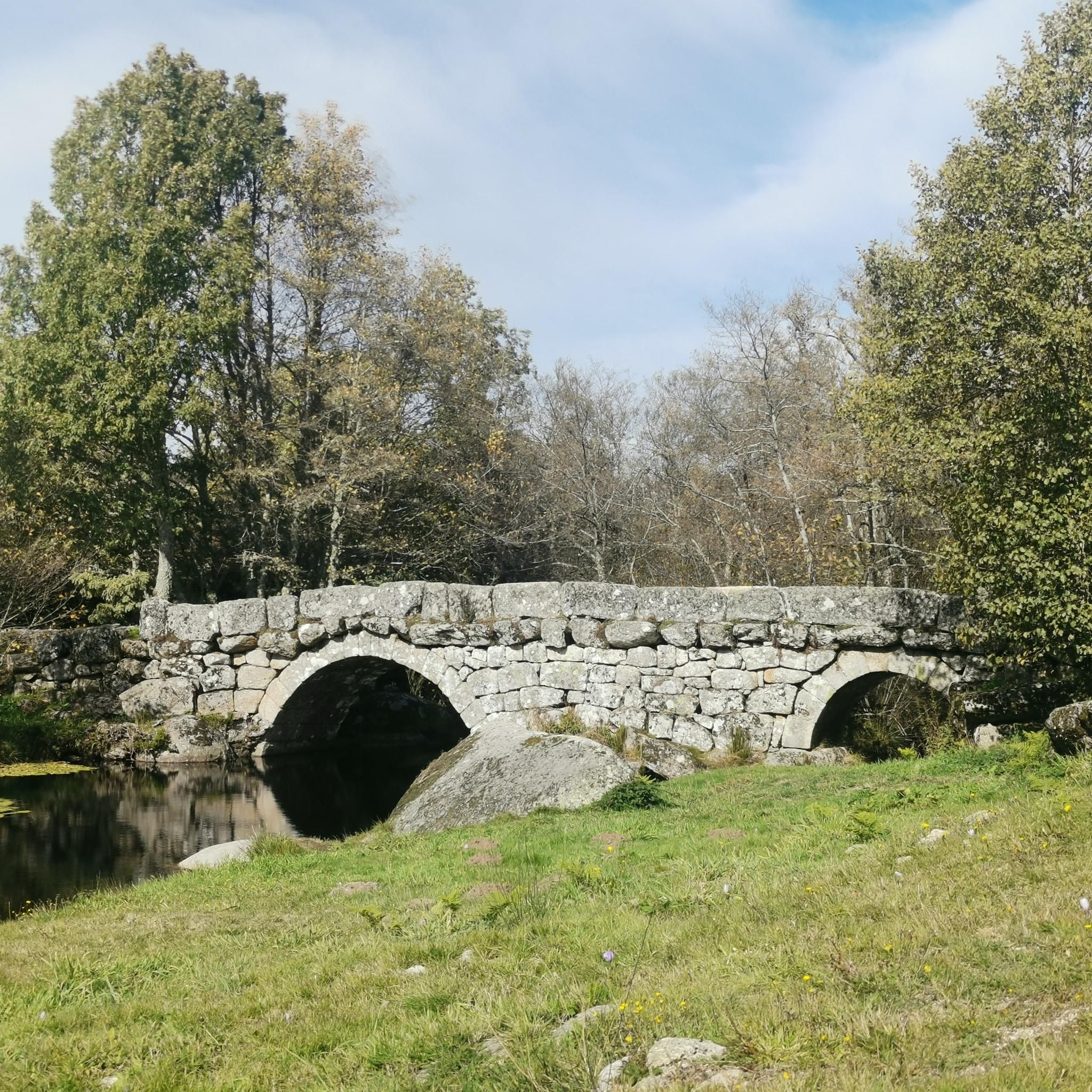
Beyond natural beauty, you can explore cultural landmarks such as the Bridge Over the Bestança River or the religious building of Nossa Senhora da Oliveira. The settlement of Drave also offers a glimpse into local life.
Are there any road cycling routes that include cafes or places to stop for refreshments?
Yes, some routes are designed with refreshment stops in mind. For instance, the Cafe in Castro Daire – Scenic road loop from Castro Daire is a difficult 30.8-mile path that incorporates a cafe stop, allowing you to refuel during your ride.
What is the best time of year for road cycling in Ester?
Given the significant elevation changes and varied terrain, the best time for road cycling in Ester is typically during milder weather conditions. It's advisable to check local weather forecasts, especially for higher elevations, to ensure optimal riding conditions.
Are there any moderate-difficulty loop routes for road cycling in Ester?
Yes, there are several moderate loop routes. The Castro Daire – Cafe in Castro Daire loop from Castro Daire is a moderate 23.6-mile route with over 2,500 feet of elevation gain. Another option is the Highest Point of the EN2 – Nossa Senhora da Oliveira loop from Castro Daire, covering 28.4 miles with similar elevation.
Are the road cycling routes in Ester generally paved?
The road cycling routes in Ester primarily utilize paved roads, but given the varied terrain and significant ascents, road conditions can vary. It's always recommended to be prepared for different road surfaces, especially on longer or more challenging routes.
Most popular routes around Ester
Most popular attractions around Ester

Get inspired with the komoot mobile app


Explore more
Browse the best Road cycling routes in other regions.
