Attractions and Places To See around Snina - Top 20
Best attractions and places to see around Snina, a town in Slovakia's Prešov Region, offers a blend of natural beauty and cultural heritage. Situated at the confluence of the Cirocha and Pčolinka rivers, it is surrounded by the Bukovec and Vihorlat Mountains. The region serves as a gateway to Poloniny National Park and features numerous historical and natural landmarks.
Best attractions and places to see around Snina
- The most popular attractions is Okrąglik, a summit located on the Polish-Slovak…
Last updated: October 4, 2026
Krzemieniec Three Borders
Highlight • Monument
Translated by Google •
Tip by

Rabia Skała (1199 m)
Highlight • Summit
pl.wikipedia.org/wiki/Riaba_Ska%C5%82a
goryaktywnie.pl/rabia-skala
andrzej-banach.eu/w-gorach/bieszczadzkie-poloniny/rabia-skala
wbieszczady.pl/szlaki-sciezki-bezdroza/bieszczady-maja-szczyt-o-ktorym-malo-kto-wie-zobacz-co-na-ciebie-czeka/ObXdATtphNa3nUtsm1wB
twojebieszczady.net/piesze/koronka.php
bieszczady.land/rabia-skala-dla-prawdziwych-wedrowcow/#google_vignette
Showing Translation
Tip by

Sign up now to discover places like this
Get recommendations on the best single tracks, peaks, & plenty of other exciting outdoor places.
Okrąglik
Highlight • Summit
Translated by Google •
Tip by

Starina Reservoir
Highlight • Lake
Translated by Google •
Tip by

Viewing tower Ruské Sedlo / Pass above Roztoki Górne
Highlight • Viewpoint
Translated by Google •
Tip by

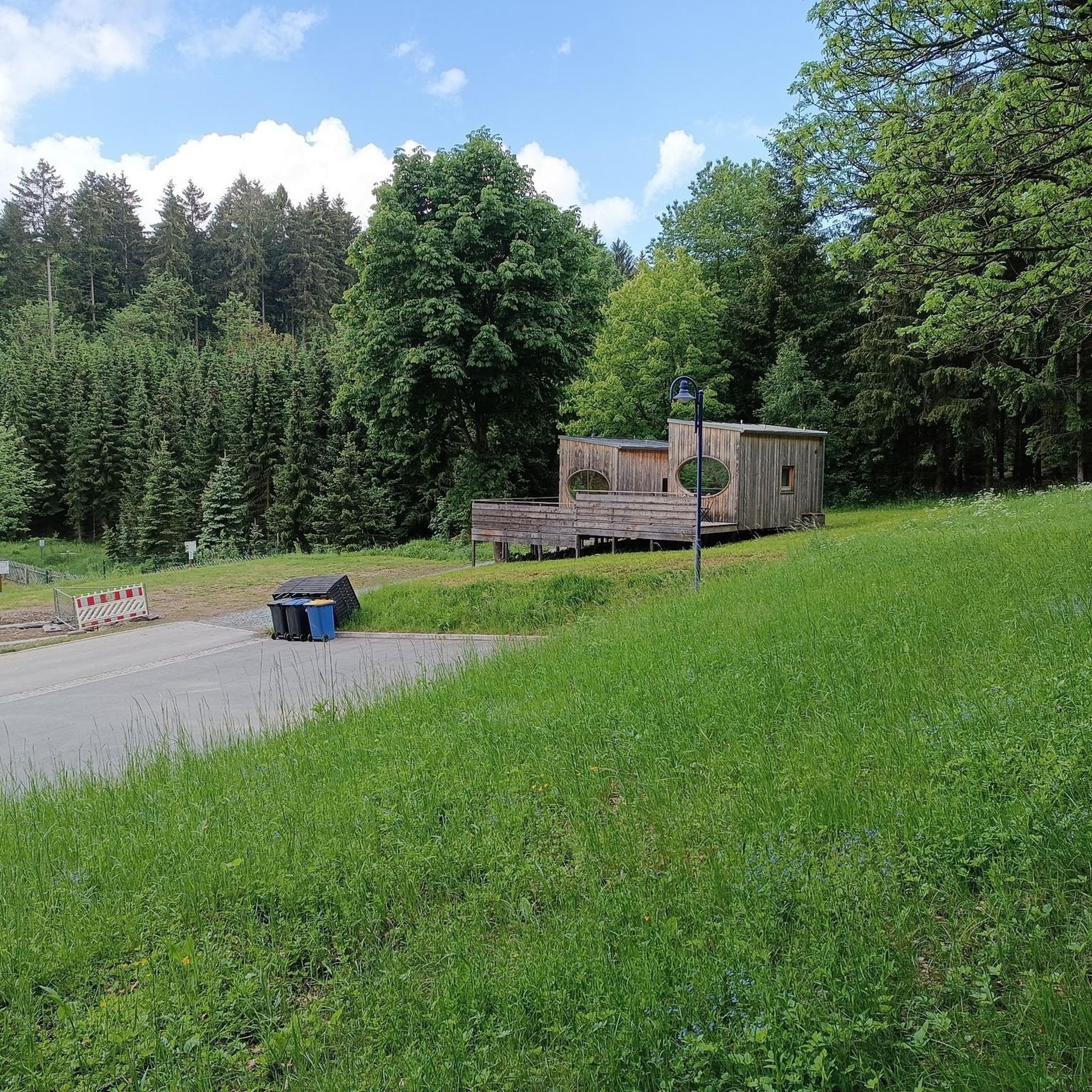
Campsite in the Poloniny National Park Buffer Zone
Highlight • Rest Area
Translated by Google •
Tip by

Wooden Church of St. Michael the Archangel, Topoľa
Highlight • Religious Site
Translated by Google •
Tip by

Durkovec Peak
Highlight • Summit
Shelter with Bicycle Stand near the Pass
Highlight • Rest Area
Translated by Google •
Tip by

Plaša Summit (1163 m)
Highlight • Summit
Showing Translation
Tip by
Sign up for free to discover even more attractions around Snina.
Already have an account?
Start today with a free account
Your next adventure awaits.

Tips from the Community

More information and photos: https://pl.wikipedia.org/wiki/Prze%C5%82%C4%99cz_nad_Roztokami_G%C3%B3rnymi https://mapa-turystyczna.pl/node/przelecz-nad-roztokami#49.14426/22.33040/14 https://goryaktywnie.pl/przelecz-nad-roztokami https://odtur.pl/atrakcje/cisna-przelecz-nad-roztokami-gornymi-55250.html
2
0
More information and photos: https://pl.wikipedia.org/wiki/Okr%C4%85glik_(Bieszczady) https://mapa-turystyczna.pl/node/okraglik#49.14685/22.36628/14 https://www.nawycieczke.pl/pl/atrakcja/okraglik-1101-m-n-p-m https://poznajgory.pl/attractions/okraglik/ https://www.twojebieszczady.net/piesze/n_plasza.php https://gdziebytudalej.pl/fereczata-okraglik-plasza-paportna/ https://www.planetagor.pl/articles/entry/Wst-p-do-po-onin-Jas-o-Okr-glik-Fereczata https://podroze.onet.pl/ciekawe/okraglik/smcbel8
2
0
More information and photos: https://pl.wikipedia.org/wiki/Krzemieniec_(szczyt) https://goryaktywnie.pl/krzemieniec https://mapa-turystyczna.pl/node/krzemieniec#49.08803/22.56566/14 https://marcinkarpinski.pl/krzemieniec-mala-i-wielka-rawka/ https://www.info.bieszczady.pl/turystyka/szczyty/krzemieniec/
2
0
More information: https://pl.wikipedia.org/wiki/Riaba_Ska%C5%82a https://goryaktywnie.pl/rabia-skala https://andrzej-banach.eu/w-gorach/bieszczadzkie-poloniny/rabia-skala/ https://wbieszczady.pl/szlaki-sciezki-bezdroza/bieszczady-maja-szczyt-o-ktorym-malo-kto-wie-zobacz-co-na-ciebie-czeka/ObXdATtphNa3nUtsm1wB https://www.twojebieszczady.net/piesze/koronka.php https://bieszczady.land/rabia-skala-dla-prawdziwych-wedrowcow/#google_vignette
2
0
More information and photos: https://pl.wikipedia.org/wiki/P%C5%82asza_(1163_m) https://andrzej-banach.eu/w-gorach/bieszczadzkie-poloniny/plasza/ https://www.lasy.gov.pl/pl/informacje/aktualnosci/ustanowiono-kolejny-rezerwat-na-podkarpaciu
2
0
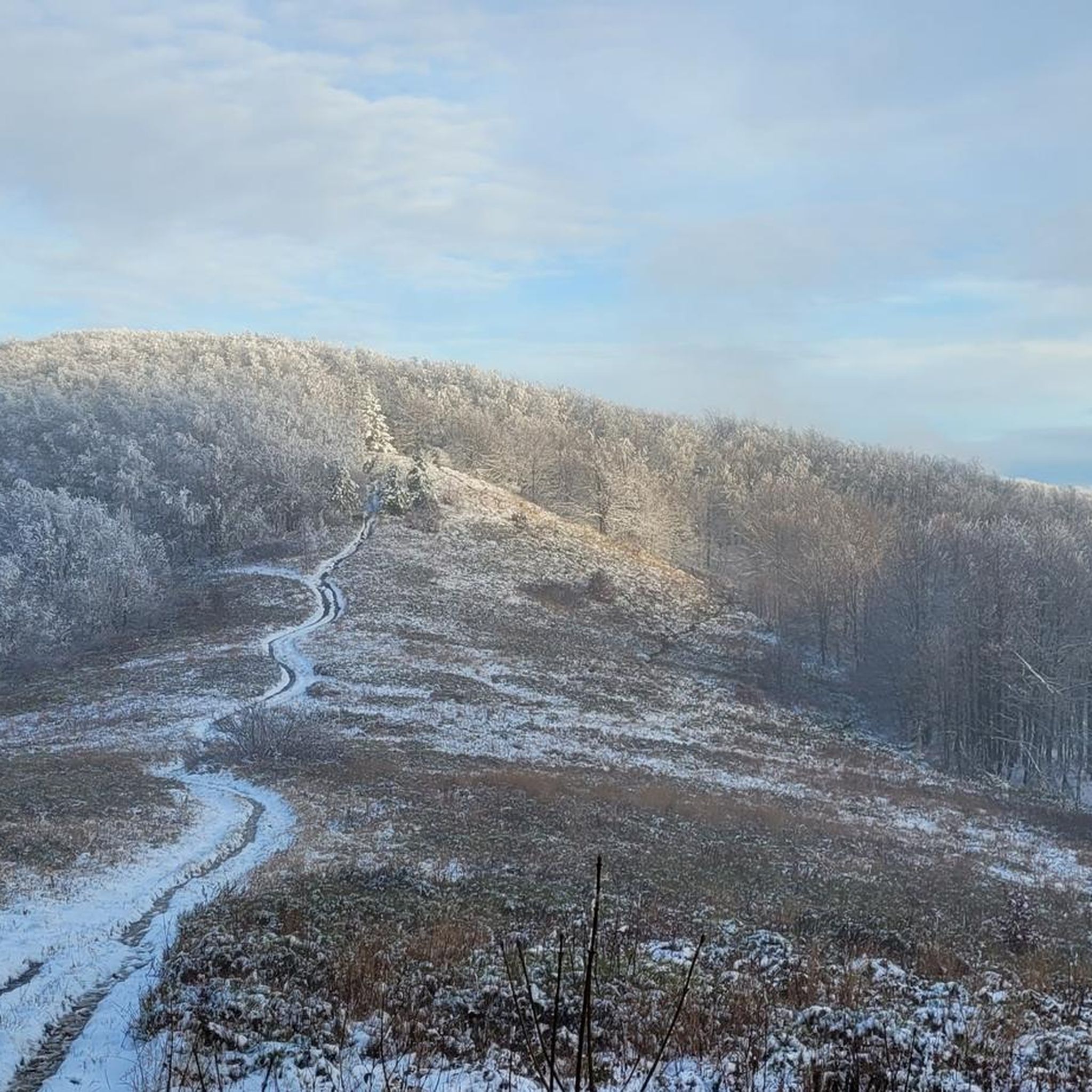
Płasza (1163 m) – a peak in the Western Bieszczady Mountains, on the border with Slovakia. To the north (the Polish side), it forms a short ridge separating the Płaszyniw and Chomów streams, which are tributaries of the Smerek. The summit is treeless, with the slopes covered by forest. A hiking trail leads through the summit. The summit offers a wide panoramic view covering the entire horizon. The name of the summit is distorted. The correct name is Plasza and it comes from the Romanian word 'ples' meaning a treeless area. On the northern slopes, there are still traces of trenches from World War I and II. information source: https://pl.wikipedia.org/wiki/P%C5%82asza_(1163_m)
2
0
More information: https://pl.wikipedia.org/wiki/Dziurkowiec https://goryaktywnie.pl/dziurkowiec https://www.lasy.gov.pl/pl/informacje/aktualnosci/ustanowiono-kolejny-rezerwat-na-podkarpaciu https://dziendobry.tvn.pl/newsy/dziurkowiec-nowy-i-najwyzej-polozony-rezerwat-przyrody-st8353515
2
0

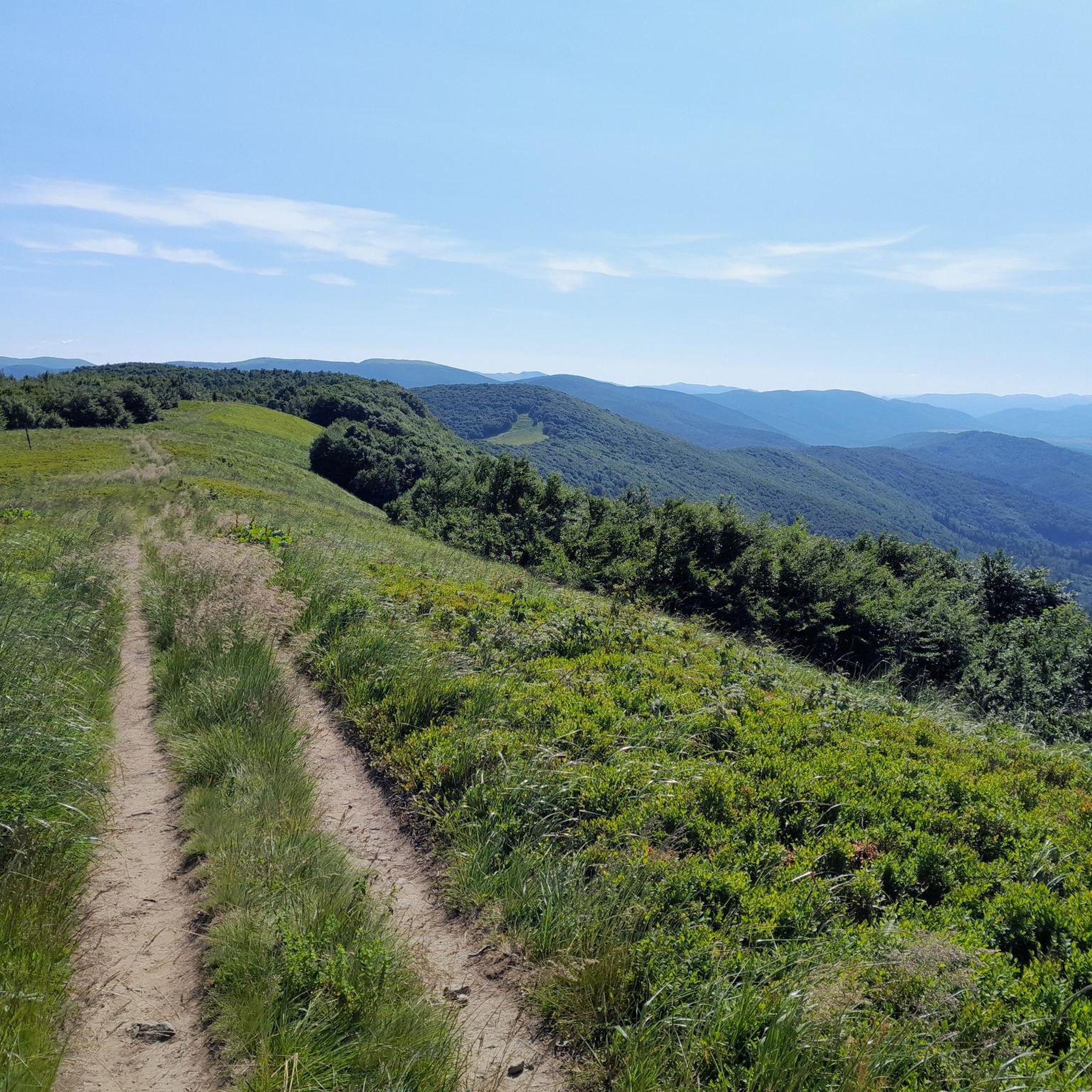
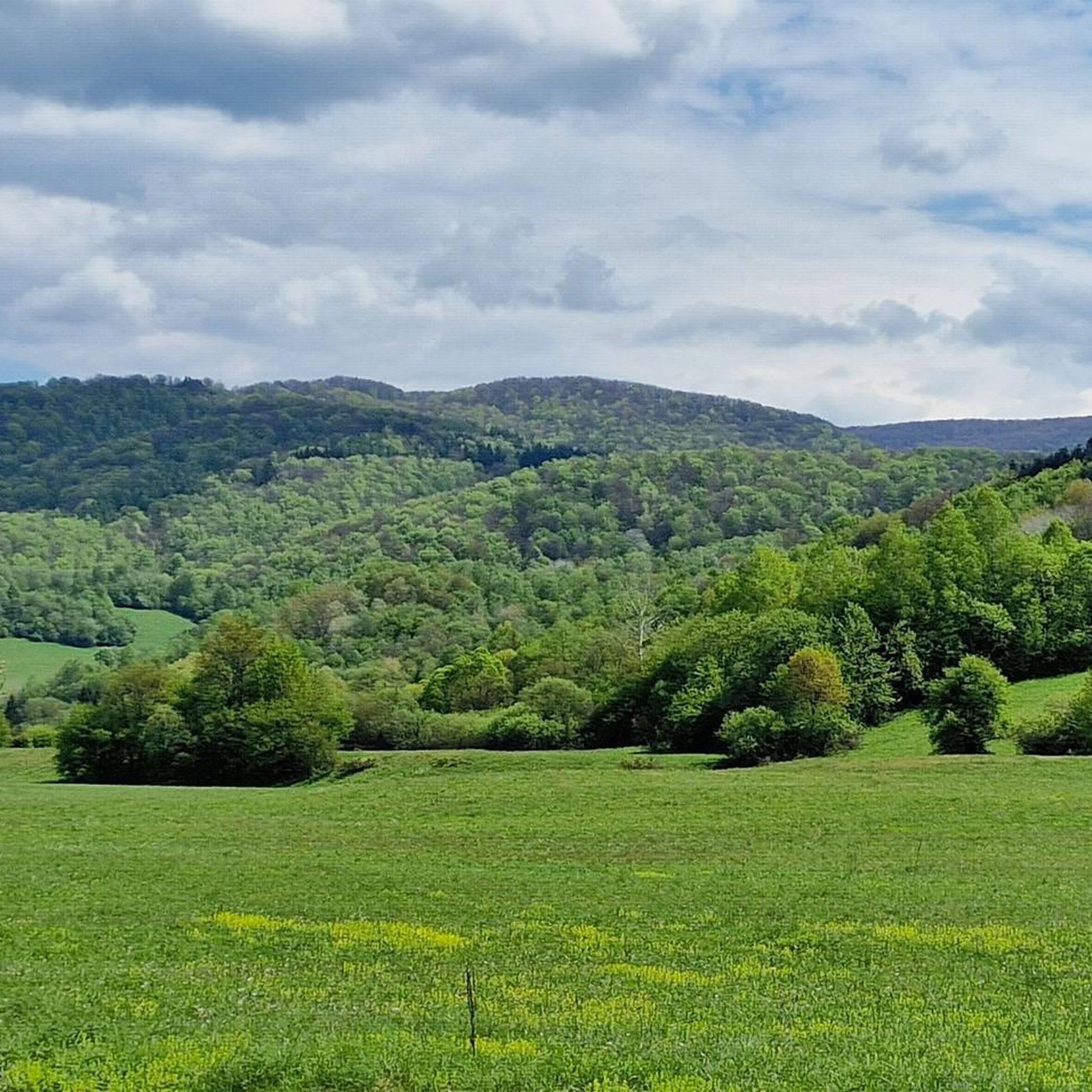
Ah, those Bieszczady peaks—why go to paradise when you're already there? Okrąglik, at 1,106 meters above sea level, is in the Western Bieszczady Mountains on the Polish-Slovak border. The views are spectacular—especially towards Slovakia.
1
0
Frequently Asked Questions
What natural attractions can I explore around Snina?
Snina is a gateway to the stunning Poloniny National Park, a UNESCO biosphere reserve known for its primeval forests. You can also visit the Starina Reservoir on the Cirocha River, explore the picturesque Vihorlat Mountains, or discover Morské oko (Sea Eye) lake. The region is surrounded by the Bukovec and Vihorlat Mountains, offering diverse natural landscapes.
Are there any significant historical or cultural sites to visit in Snina?
Yes, Snina boasts several historical and cultural sites. The Snina Mansion, a Classicist building from 1781, houses a museum and gallery. You can also visit the Roman Catholic Exaltation of the Holy Cross Church, built in 1751. The region is particularly known for its unique Wooden Greek Catholic Churches, such as the Wooden Church of St. Michael the Archangel in Topoľa, showcasing traditional architecture and valuable iconostases.
What kind of hiking trails are available near Snina?
The Snina area offers a variety of hiking trails, from easy walks to more challenging routes. You can find numerous options for easy hikes, as well as more demanding trails leading to summits like Okrąglik or Rabia Skała (1199 m). Many trails traverse the Poloniny National Park and the Vihorlat Mountains, offering scenic views and opportunities for wildlife spotting.
Are there any viewpoints offering panoramic views of the region?
Absolutely. One notable viewpoint is the Ruské Sedlo / Przełęcz nad Roztokami Górnymi Lookout Tower, a wooden observation tower on the Polish-Slovak border that provides great views of the surrounding mountains. Summits like Okrąglik also offer spectacular vistas, especially towards Slovakia.
Can I find family-friendly activities or trails around Snina?
Yes, the region offers options for families. The Campsite in the Poloniny National Park Buffer Zone is noted as family-friendly. Additionally, the Hámorsk Educational Trail in Zemplínske Hámre provides an engaging way to explore local history and nature. Many of the easy hiking routes are suitable for families.
What unique geographical landmarks are near Snina?
A truly unique landmark is the Krzemieniec Tri-Border Point, a monument marking the intersection of the Polish, Slovak, and Ukrainian borders. This spot is a significant geographical and political marker, offering an interesting destination for visitors.
What outdoor sports or activities can I do besides hiking?
Beyond hiking, the Snina area is excellent for other outdoor activities. You can explore numerous running trails through diverse landscapes. For cyclists, there are also great opportunities for gravel biking, with routes that take you through scenic areas and past natural attractions.
What do visitors enjoy most about the attractions around Snina?
Visitors particularly appreciate the stunning natural beauty and the sense of being in a wild, untouched environment. Highlights like the Krzemieniec Tri-Border Point are noted as interesting and worth the journey. The panoramic views from mountain peaks and lookout towers are also highly praised, offering a true sense of the region's grandeur.
Are there any specific historical sites related to past conflicts?
Yes, the Snina region has several military cemeteries, including a World War I cemetery within the city limits and others in nearby Giglov and Brehy. These sites serve as poignant reminders of the area's historical significance during past conflicts.
Where can I find relaxation and recreation facilities in Snina?
For relaxation and recreation, Snina offers a municipal swimming pool and wellness facilities. These provide a great way to unwind after a day of exploring the natural and cultural attractions of the region.
What is the terrain like around Snina for outdoor activities?
The terrain around Snina is quite varied, characterized by the confluence of the Cirocha and Pčolinka rivers, nestled between the Bukovec and Vihorlat Mountains. This means you'll encounter river valleys, rolling hills, and more rugged mountain paths, especially in the Vihorlat mountain range and Poloniny National Park. Expect a mix of forest trails, open clearings, and some rocky sections, particularly on higher elevations like Sninský kameň.
Most popular routes around Snina
Most popular attractions around Snina

Get inspired with the komoot mobile app


Didn’t find what you were looking for?
Are you keen on exploring more awesome places nearby? Browse our guides:
Explore more
Still not found the Highlight you’re looking for? See guides of the top attractions in other regions:
