The best running trails around Snina
4.8
(14)
2,207
runners
106
runs
Jogging routes around Snina, located in eastern Slovakia's Prešov Region, offer diverse terrain for runners. The town sits at the confluence of the Cirocha and Pčolinka rivers, providing flatter routes, while the surrounding Bukovec and Vihorlat Mountains present more challenging options. The region is characterized by primeval beech forests within Poloniny National Park and volcanic landscapes in the Vihorlat Mountains, including features like Morské Oko lake and Sninský kameň stone formations. This varied topography ensures a range of running experiences…
Last updated: October 2, 2026
33
runners
Hard run. Very good fitness required. Mostly paved surfaces. Suitable for all skill levels.
13
runners
Hard run. Very good fitness required. Mostly paved surfaces. Suitable for all skill levels.

15
runners
16.5km
02:16
650m
650m
This difficult 10.2-mile (16.5 km) jogging loop in Cisna-Wetlina Landscape Park offers panoramic views from Duże Jasło, Okrąglik, and Ferecz
4
runners
Hard run. Very good fitness required. Mostly accessible paths. Some sure footedness required.
127
runners
37.3km
05:14
1,510m
1,510m
Hard run. Very good fitness required. Mostly paved surfaces. Suitable for all skill levels.
15
runners
31.2km
04:54
1,670m
1,670m
Hard run. Very good fitness required. Mostly paved surfaces. Suitable for all skill levels.
11
runners
12.4km
01:54
630m
630m
Hard run. Very good fitness required. Mostly paved surfaces. Suitable for all skill levels.
9
runners
9.85km
01:29
490m
490m
Hard run. Very good fitness required. Mostly accessible paths. Some sure footedness required.
10
runners
18.9km
02:45
770m
770m
Hard run. Very good fitness required. Mostly paved surfaces. Suitable for all skill levels.
11
runners
9.18km
01:23
540m
540m
Hard run. Very good fitness required. Mostly paved surfaces. Suitable for all skill levels.
Get access to more routes and recommendations from other explorers.
Already have an account?
Our route recommendations are based on thousands of hikes, rides, and runs completed by other people on komoot.
Start today with a free account
Your next adventure awaits.
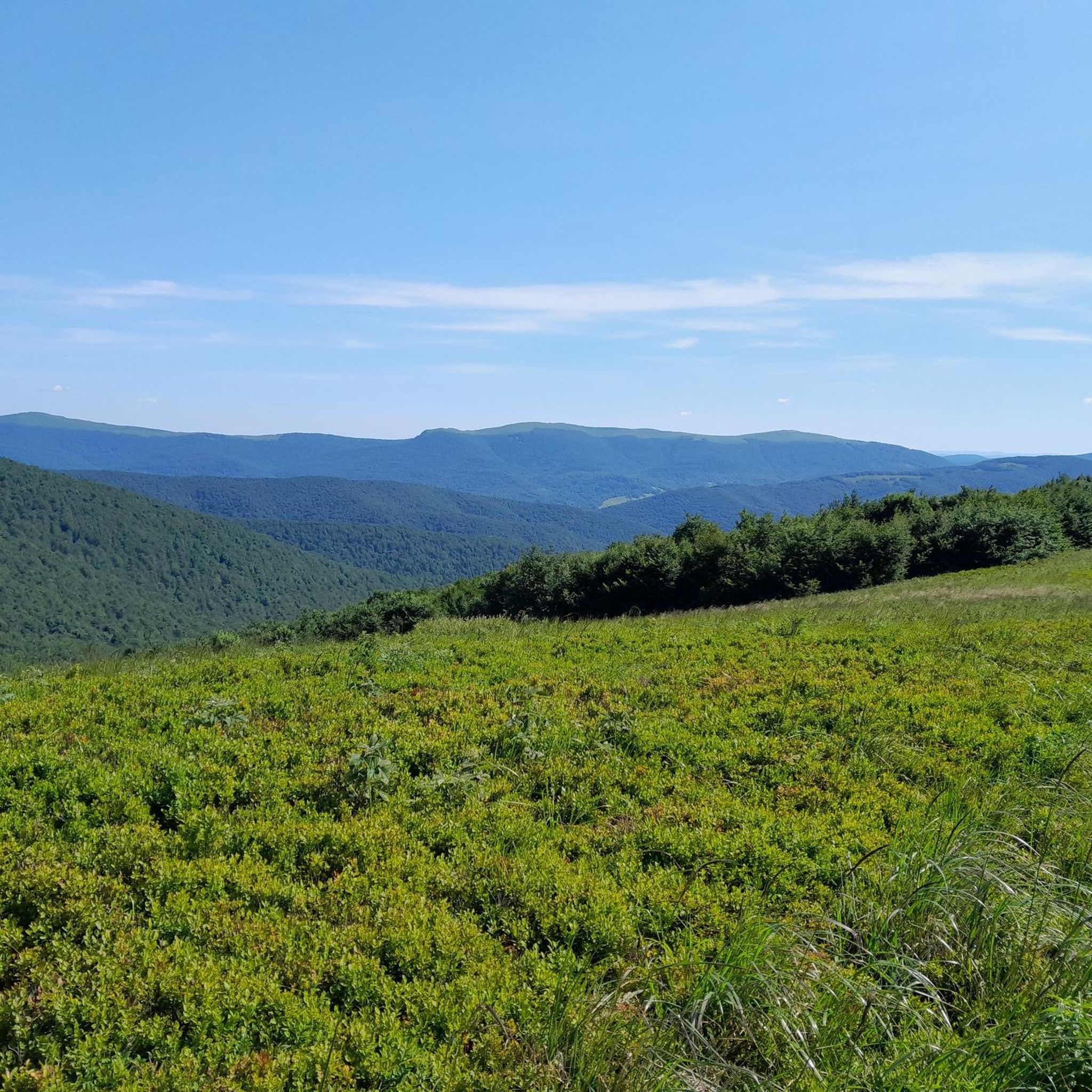
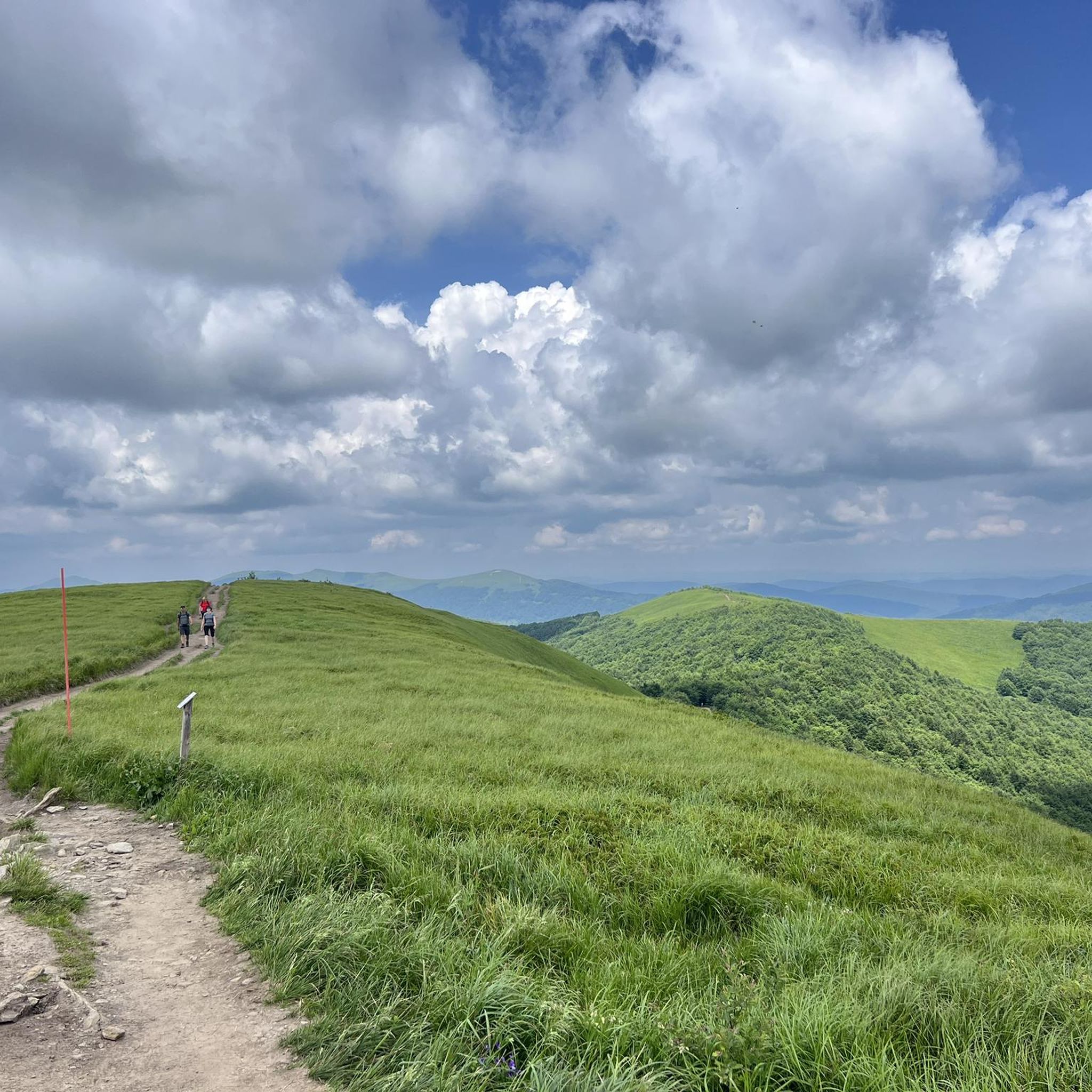
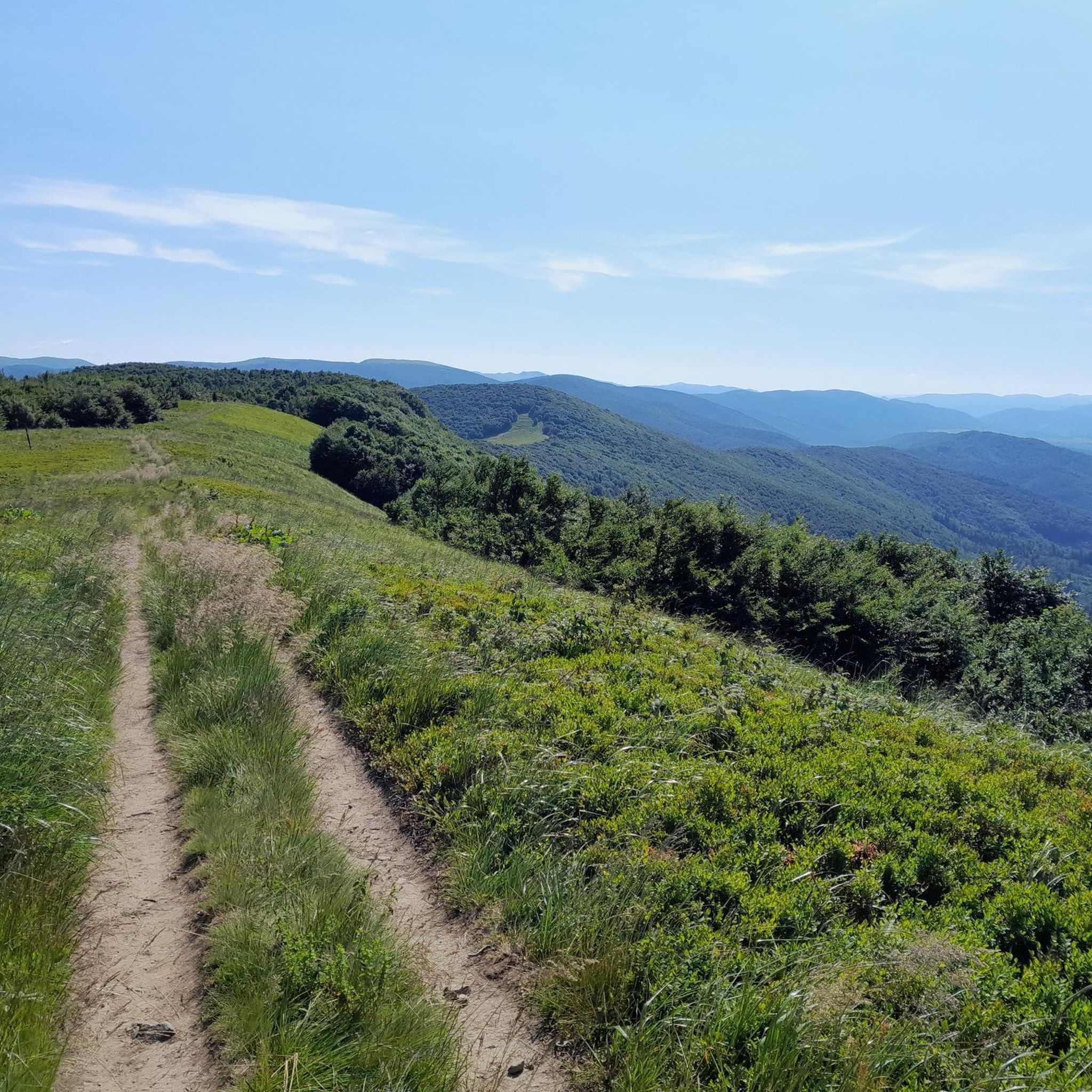
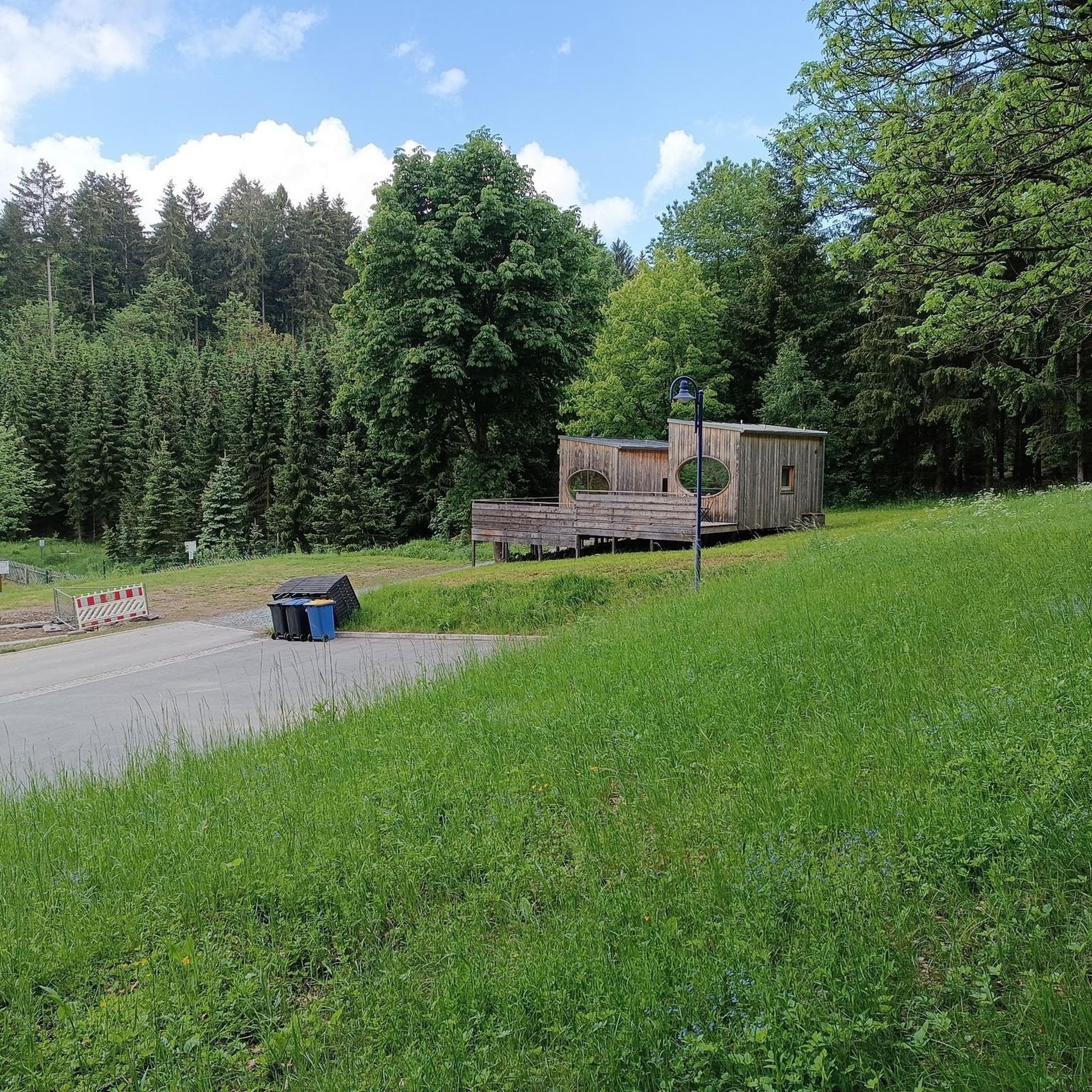
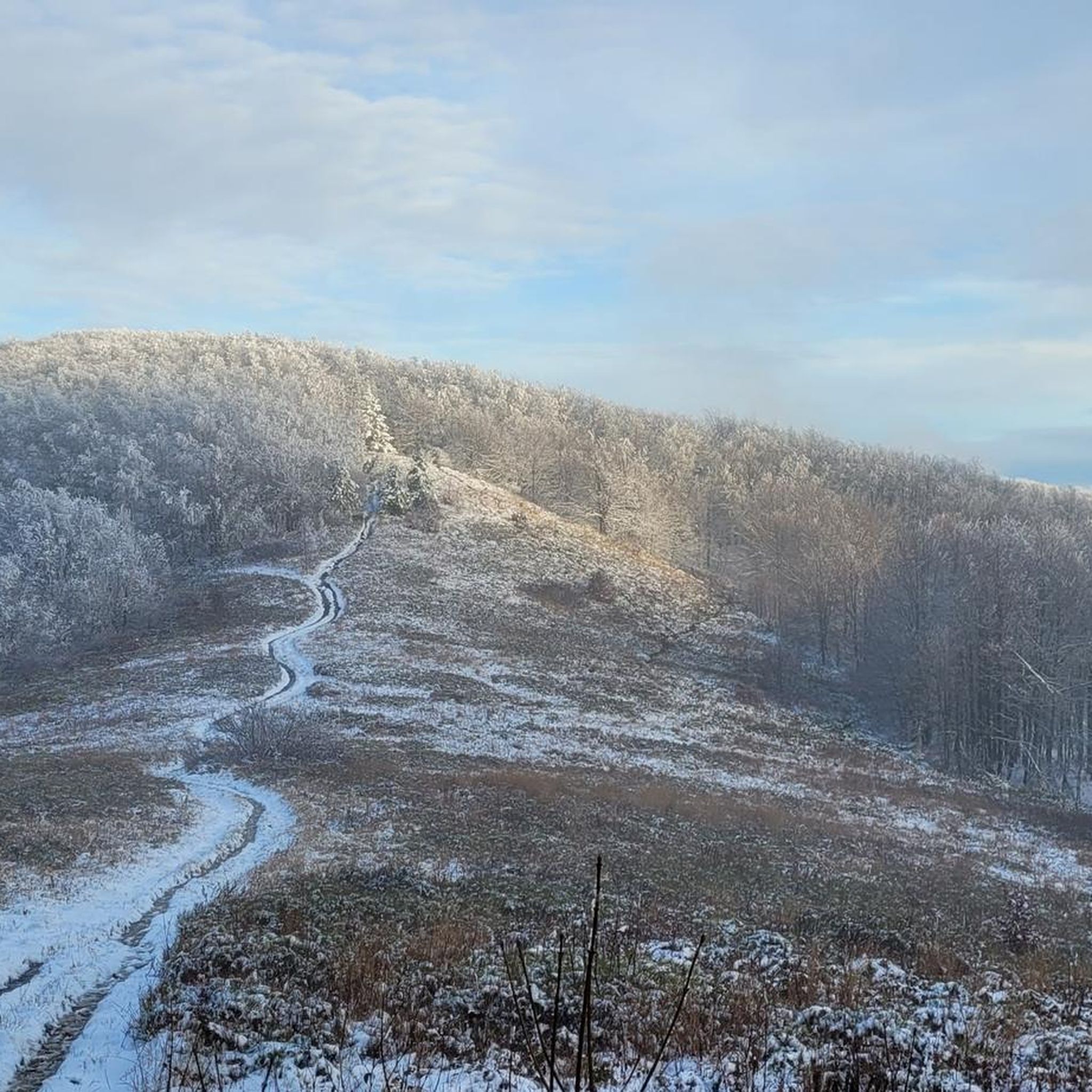
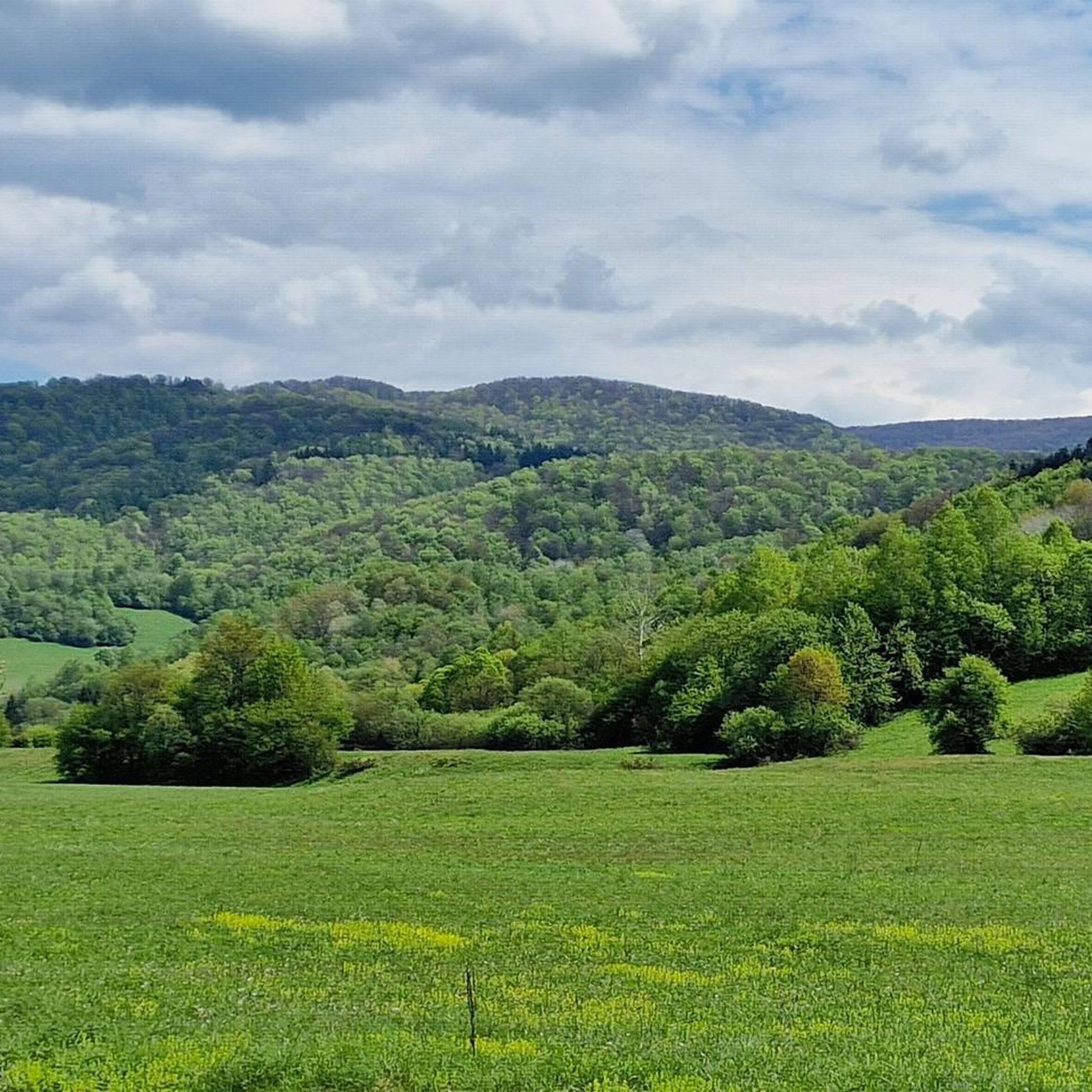

Tips from the Community

More information and photos: https://pl.wikipedia.org/wiki/Prze%C5%82%C4%99cz_nad_Roztokami_G%C3%B3rnymi https://mapa-turystyczna.pl/node/przelecz-nad-roztokami#49.14426/22.33040/14 https://goryaktywnie.pl/przelecz-nad-roztokami https://odtur.pl/atrakcje/cisna-przelecz-nad-roztokami-gornymi-55250.html
2
0
More information and photos: https://pl.wikipedia.org/wiki/Szczawnik_(1098_m) https://podroze.onet.pl/ciekawe/bieszczady-szczawnik-szczyt-informacje-i-szlaki/mgmkq02 https://mapa-turystyczna.pl/trail/16614#49.16088/22.39984/14
2
0
More information and photos: https://pl.wikipedia.org/wiki/Jawornik_(pasmo_graniczne) https://wsandalachpara.pl/jawornik-bieszczady-z-wetliny-czy-warto-praktyczny-przewodnik https://mapa-turystyczna.pl/node/jawornik#49.13465/22.44490/13 https://poznajgory.pl/attractions/jawornik/
2
0
More information and photos: https://pl.wikipedia.org/wiki/Okr%C4%85glik_(Bieszczady) https://mapa-turystyczna.pl/node/okraglik#49.14685/22.36628/14 https://www.nawycieczke.pl/pl/atrakcja/okraglik-1101-m-n-p-m https://poznajgory.pl/attractions/okraglik/ https://www.twojebieszczady.net/piesze/n_plasza.php https://gdziebytudalej.pl/fereczata-okraglik-plasza-paportna/ https://www.planetagor.pl/articles/entry/Wst-p-do-po-onin-Jas-o-Okr-glik-Fereczata https://podroze.onet.pl/ciekawe/okraglik/smcbel8
2
0
More information: https://andrzej-banach.eu/w-gorach/bieszczadzkie-poloniny/hyrlata/ https://www.twojebieszczady.net/piesze/hyrlata.php
2
0
More information and photos: https://pl.wikipedia.org/wiki/Jas%C5%82o_(g%C3%B3ra) https://mapa-turystyczna.pl/node/jaslo#49.15796/22.36078/14 https://trasygorskie.pl/jaslo-jaslo/ https://www.twojebieszczady.net/jaslo.php https://gdziebytudalej.pl/na-widokowe-jaslo-i-graniczny-stryb/ https://www.twojebieszczady.net/piesze/przyslup_jaslo.php https://magazynnaszczycie.pl/artykul/skiturowa-klasyka-bieszczadow-n1510246 https://www.twojebieszczady.net/jaslo2.php https://poznajgory.pl/attractions/jaslo/
2
0
More information: https://pl.wikipedia.org/wiki/Riaba_Ska%C5%82a https://goryaktywnie.pl/rabia-skala https://andrzej-banach.eu/w-gorach/bieszczadzkie-poloniny/rabia-skala/ https://wbieszczady.pl/szlaki-sciezki-bezdroza/bieszczady-maja-szczyt-o-ktorym-malo-kto-wie-zobacz-co-na-ciebie-czeka/ObXdATtphNa3nUtsm1wB https://www.twojebieszczady.net/piesze/koronka.php https://bieszczady.land/rabia-skala-dla-prawdziwych-wedrowcow/#google_vignette
2
0
Frequently Asked Questions
How many running routes are available around Snina?
There are over 90 running routes around Snina, offering a wide variety of experiences for all skill levels. The komoot community has mapped 99 routes in total, with options ranging from easy paths to challenging mountain runs.
Are there easy running routes for beginners in Snina?
While many routes in the Snina area are challenging, there are a few easier options available. The region's river valleys, particularly along the Cirocha and Pčolinka rivers, are likely to offer flatter, more accessible routes for casual jogging. Komoot lists 2 easy routes and 20 moderate routes, so beginners can find suitable paths.
What kind of terrain can I expect on running trails near Snina?
The terrain around Snina is diverse. You can expect everything from damp forest floors, uneven rocky pathways, and root-laced soil within Poloniny National Park to potentially gentler, flatter routes along river valleys. The Vihorlat Mountains offer more challenging trails with significant elevation gains, including steep sections and rocky paths.
What natural attractions or landmarks can I see while running in the Snina region?
The Snina region is rich in natural beauty. You can encounter features like the volcanic Morské Oko lake and the distinctive Sninský kameň stone formations in the Vihorlat Mountains. Other notable sights include the Krzemieniec Tri-Border Point, the serene Starina Reservoir, and various summits like Mount Krzemieniec and Okrąglik.
Are there any waterfalls along the running trails near Snina?
Yes, you can find a beautiful natural attraction like the Small Waterfall in Stužica, which is located within the Poloniny National Park area. This offers a refreshing sight during your run.
Are there circular running routes available around Snina?
Yes, many of the running routes around Snina are designed as loops. For example, the challenging Przysłup - Duże Jasło - Okrąglik - Fereczata Loop is a popular circular path. Another option is the Roztoki Górne - Paportna - Rabia Skała Loop, which takes you through the Ciśniańsko-Wetliński Landscape Park.
How accessible are the running trails by public transport or car?
Snina serves as a primary gateway to Poloniny National Park and the Vihorlat Mountains. While specific public transport details for trailheads vary, the town itself is a hub. For routes deeper in the parks, driving to designated parking areas is often the most convenient option. Always check local transport schedules and parking availability for your chosen route.
What is the best time of year to go running in Snina?
The best time for running in Snina is generally during the spring, summer, and early autumn months when the weather is milder and the trails are most accessible. Poloniny National Park and the Vihorlat Mountains offer stunning scenery during these seasons. Winter running is possible but may require specialized gear due to snow and ice, especially on higher elevation trails.
What do other runners say about the trails in Snina?
The running routes in Snina are highly rated by the komoot community, with an average score of 4.7 stars from over 5 reviews. More than 1,900 runners have used komoot to explore Snina's varied terrain, often praising the immersive nature experience within the primeval beech forests and the challenging yet rewarding mountain paths.
Are there challenging mountain runs for experienced runners in the Snina area?
Absolutely. The Snina region, particularly within Poloniny National Park and the Vihorlat Mountains, offers numerous challenging routes. These include trails with significant elevation gains, such as the Pętla Wetlina - Mała Rawka - Wielka Rawka - Rabia Skała, which covers over 30 km with more than 1,200 meters of ascent. These routes often feature tricky terrain with steep sections, rocks, and roots.
Can I bring my dog on the running trails in Snina?
Many outdoor trails in Slovakia, including those around Snina and within national parks, are generally dog-friendly, provided dogs are kept on a leash. However, specific regulations can vary, especially in protected areas like Poloniny National Park. It's always advisable to check the current rules for the specific trail or park you plan to visit to ensure a pleasant experience for you and your pet.
Are there any running routes suitable for families with children?
For families, the flatter, less strenuous routes along the river valleys of the Cirocha and Pčolinka rivers are generally more suitable. While specific 'family-friendly' designated running paths might not be widely advertised, these natural corridors offer gentler terrain. Look for routes categorized as 'easy' on komoot, which typically have less elevation gain and smoother surfaces.
Most popular routes around Snina
Most popular attractions around Snina

Get inspired with the komoot mobile app


Didn’t find what you were looking for?
Check out more Running Trails & Routes throughout Snina below and find the perfect route in your destination.
Explore more
Browse the best Running Trails & Routes in other regions.
