Top 20 Mountain Passes around Prägraten am Großvenediger
Best mountain passes around Prägraten am Großvenediger are situated in the scenic Virgental valley, at the base of the Großvenediger. This region provides access to numerous mountain passes, often referred to as "Törl" or saddles, within the high-alpine landscape of the Hohe Tauern National Park. These passes connect different valleys and offer routes through diverse terrain, ranging from alpine meadows to rugged rock formations. The area is characterized by its significant high-alpine features and challenging routes.
Best mountain passes around…
Last updated: October 13, 2026
Klammljoch Pass
Highlight • Mountain Pass
Translated by Google •
Tip by

Gsieser Gorge
Highlight • Mountain Pass
Translated by Google •
Tip by

Sign up now to discover places like this
Get recommendations on the best single tracks, peaks, & plenty of other exciting outdoor places.
Austria–Italy Border Monument at Staller Sattel
Highlight • Monument
Translated by Google •
Tip by

Krimmler Tauern Pass
Highlight • Mountain Pass
Translated by Google •
Tip by

Türmljoch (2,790 meters)
Highlight • Natural Monument
Translated by Google •
Tip by

Sign up for free to discover even more mountain passes around Prägraten am Großvenediger.
Already have an account?
Start today with a free account
Your next adventure awaits.
Popular around Prägraten am Großvenediger
Venediger High Trail – mountain huts and glacial views
Alpine bliss on the long-distance hiking trails in East Tyrol
On the way on excellent hiking trails
Free like a bird on East Tyrol's Eagle Trail
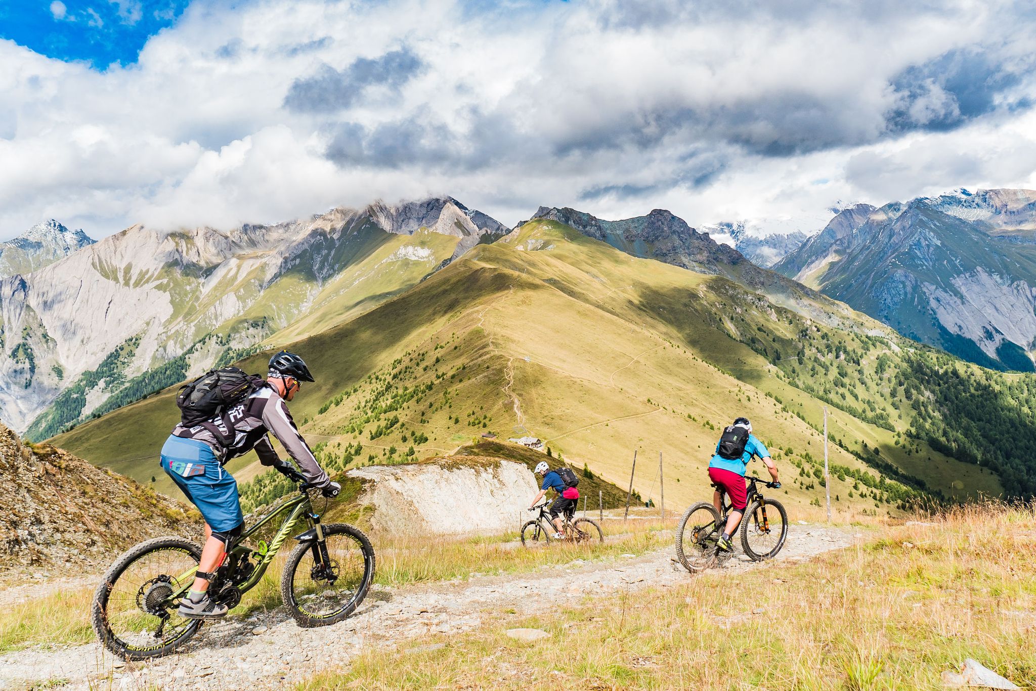
Unlimited mountain bike fun – singletrack paradise in East Tyrol

Big and small adventures in the mountains of Tyrol
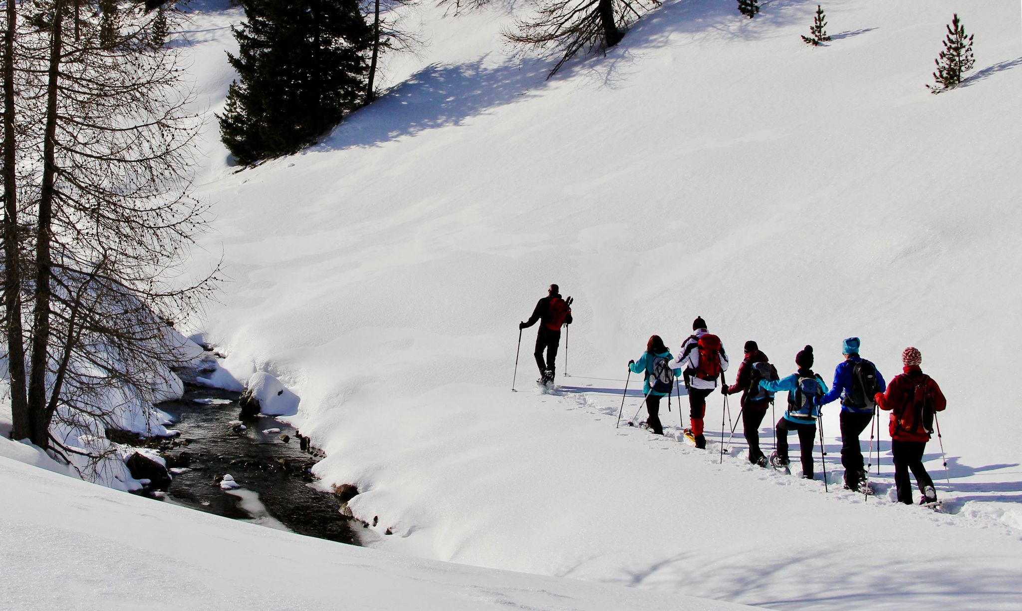
Snowshoe magic in East Tyrol
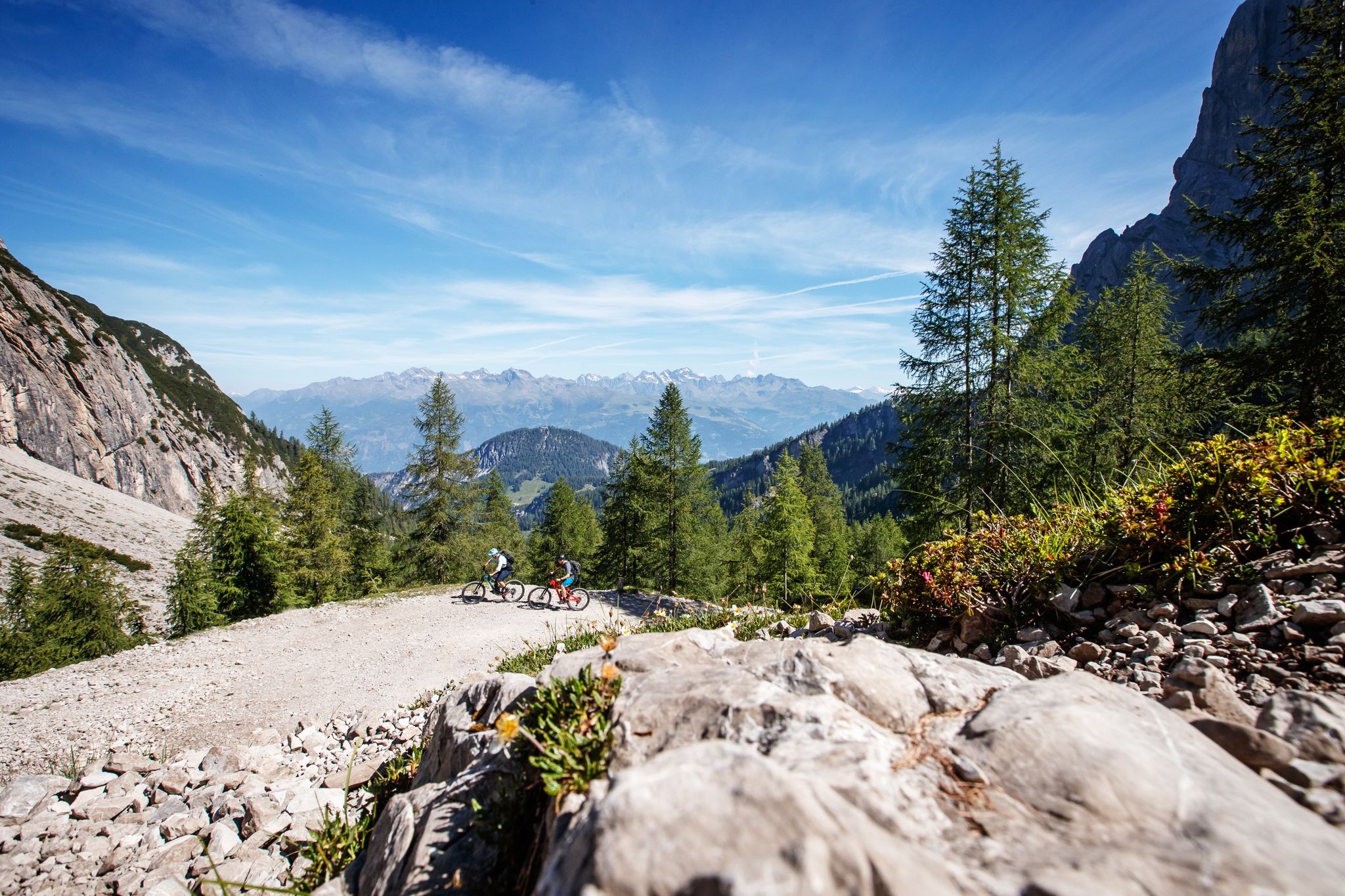
Zehn fantastische Touren durch das Mountainbike-Paradies Osttirol
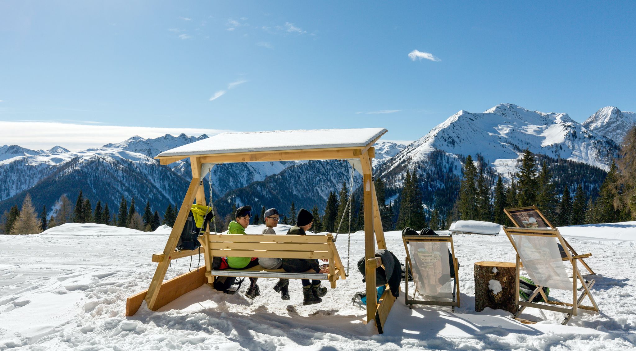
Herzliche Gastlichkeit & traditionelle Kulinarik – Winterwandern in Osttirol
Hiking around Prägraten am Großvenediger
Other adventures around Prägraten am Großvenediger


Tips from the Community

with the option to take the via ferrata (category C) to the Türml
0
0

Not recommended with E-MTB due to the long pushing sections in difficult, steep, winding and blocked terrain (path) on the north side below Krimmler Tauern (pass)! Snowfields are difficult to pass with E-MTB on the uphill. The physics quickly show that the pushing-assist torque (due to weight distribution and obstacles on the path uphill) reaches the limits of tire friction, almost regardless of how knobby the tread is or how soft the rubber compound is. Because on loose ground, traction limits power transfer, not the motor. In addition, the low base speed with pushing assist means that obstacles uphill cannot be rolled over. Feasible with MTB. Mid-July to mid-September is the optimal time. Author's tip Weather must be good before and after the Tauern pass. On the pass on the Italian side, there is an open shelter with a bench. Bivy bag and thin down sleeping bag for emergencies. Possibility of emergency call via satellite phone is a prerequisite. If you actually want to go up from Krimmler Tauernhaus to the Tauern pass (Krimmler Tauern) with an MTB, you have to be prepared for long pushing and carrying sections. This requires extremely good fitness and the will to get there. On the other side down into the Ahrntal, there are only shorter pushing sections, but those with stones blocked paths (water channels) are not particularly pleasant to ride. After the Tauernalm, hairpin turns with lifting the rear wheel.
0
0
Not recommended with E-MTB!!! Due to the long pushing sections on difficult, steep, winding, and blocked terrain (path) north of Krimmler Tauern (pass), physics quickly shows that the pushing assistance torque (due to weight distribution and obstacles on the uphill path) reaches the limits of tire friction, almost regardless of how aggressive the tread is or how soft the rubber compound is. Because on loose ground, traction limits power transfer and not the motor. Furthermore, the low base speed with pushing assistance ensures that obstacles on the uphill cannot be rolled over.
0
0
The weather must be good before and after Tauernpass. On the pass on the Italian side, an open shelter with a bench. Bivy bag and a thin down sleeping bag for emergencies. Possibility of using a satellite emergency phone is a prerequisite. If you actually want to go up to the Tauernpass (Krimmler Tauern) with an MTB from the Krimmler Tauernhaus, you have to expect long pushing and carrying sections. This requires extremely good fitness and the will to get there. On the other side down into the Ahrntal valley, there are only shorter pushing sections, but the paths blocked by stones (water channels) are not particularly pleasant to ride. After the Tauernalm, hairpin bends require lifting the rear wheel.
0
0

interesting transition from South Tyrol to North Tyrol and a great ski tour to the Schüttalkopf
0
0

If you're riding a mountain bike, you'll have to carry it a lot if you want to get here from Maria Hilf//St. Jakob.
1
0

As an alternative to the via ferrata on the Türml, you can climb north to a sub-peak of the Großer Happs.
1
0

From May 16, 2025 (12 noon), the Staller Sattel will be open to all vehicles again. During the summer months, the pass is accessible 24 hours a day with traffic lights. The crossing from the Defreggental to the Antholzertal is possible every hour from 1 to 15 minutes. The crossing from the Antholzertal to the Defreggental is possible every hour from 30 to 45 minutes.
0
0
Frequently Asked Questions
What are some of the most notable mountain passes to explore around Prägraten am Großvenediger?
The region offers a variety of significant mountain passes. Among them are the Klammljoch Pass, known as an Alpine crossing between the Rieserfernergruppe and the Venediger group, and the Krimmler Tauern Pass, a historical transition over the main Alpine ridge offering extensive views. Another popular choice is the Staller Pass, which connects South Tyrol and East Tyrol, with the border running directly over it.
What kind of views can I expect from the mountain passes in this region?
The mountain passes around Prägraten am Großvenediger offer breathtaking high-alpine panoramas. From passes like the Krimmler Tauern Pass, you can enjoy views of the Zillertal Alps, the Venediger, and the Durreck group. The Staller Pass provides views of the Obersee to the east and the Antholz Lake to the west. Many passes, such as Türmljoch and Vorderes Umbaltörl, are renowned for their scenically magnificent routes and stunning high alpine backdrops.
Are there challenging mountain passes for experienced hikers?
Yes, the region is well-suited for experienced hikers seeking a challenge. Passes like Türmljoch involve off-path sections and easy climbing (up to UIAA II), making it a demanding day trip. The Prägrater Törl is part of a difficult mountain hike (T4) to Lasörling (3098m). The Krimmler Tauern Pass is also described as a strenuous kraxelerei (scramble) from Kasern, requiring excellent physical condition.
Are there any easier mountain passes or routes suitable for less experienced hikers?
While many passes are high-alpine and challenging, some routes offer more moderate options. For instance, the Gsieser Gorge (Gsieser Törl) is described as an easy-to-hike border crossing with great views, though some sections might involve cows on the path. When planning, always check the specific route details and difficulty ratings.
What unique natural features can be found near the mountain passes?
The area is rich in natural beauty. Near the Vorderes Umbaltörl, you can find the Umbal Waterfalls, Europe's first water trail, showcasing the power of a glacial stream. The Rotenmanntörl leads through wild romantic Swiss pine forests and gentle alpine meadows. The Staller Pass offers views of the Obersee and Antholz Lake. The Prägrater Törl provides access to high-altitude lakes like the Gritzer Seen.
What is the best time of year to visit the mountain passes around Prägraten am Großvenediger?
The best time to visit the mountain passes is typically during the summer and early autumn months, from late June to September. During this period, the trails are generally free of snow, and the weather conditions are more stable for high-alpine hiking. September, in particular, can offer dreamlike, almost lonely mountain paths, as noted by visitors to the Krimmler Tauern Pass.
Are there any historical mountain passes in the area?
Yes, several passes have significant historical importance. The Krimmler Tauern Pass is a historical transition over the main Alpine ridge, much used in former times, with some properly paved sections remaining. The Gsieser Gorge (Gsieser Törl) was a well-known smuggler route between Italy and Austria, especially in the 1920s and 30s, and forms the state border between the two countries.
How accessible are the mountain passes by public transport or car?
Access varies by pass. For passes like the Staller Pass, the Austrian side of the pass road is well-developed and easy to drive, though the Italian side has a one-way regulation with traffic lights. For more remote passes, access often involves reaching trailheads by car and then continuing on foot. Public transport options might be limited to the main valleys, requiring longer hikes to reach the passes themselves. Always check local transport schedules and road conditions.
Are there any specific regulations or tips for hiking with dogs on these passes?
When hiking with dogs, especially in areas with grazing livestock, caution is advised. For example, near the Gsieser Gorge, signs indicate that dogs are not allowed through certain pastures due to cows. While some visitors have successfully navigated these areas with small dogs, it's crucial to be aware of potential issues with suckler cows, especially if they have calves. Always keep dogs on a leash and respect local signage and regulations.
What outdoor activities can I do near these mountain passes?
Beyond hiking and mountaineering to the passes themselves, the region offers a range of outdoor activities. You can find numerous gravel biking routes, such as the 'Iselschlucht Trail' or 'Defereggen Valley Bee Park' loops. Road cycling enthusiasts can explore routes like 'St. Jakob in Defereggen – Stalle Pass loop'. There are also beautiful waterfall hikes, including the 'Umbal Falls Nature and Power Trail' in the Hohe Tauern National Park. For more details on these activities, you can explore the gravel biking, road cycling, and waterfall hiking guides for the area.
Are there any facilities like cafes or accommodation near the mountain passes?
While the passes themselves are high-alpine and generally remote, you can find facilities in the valleys and at some huts. For instance, there is a small snack bar at the top of the Staller Pass. Huts like the Lenkjöchlhütte (Rif. Giogo Lungo) near Vorderes Umbaltörl, the Reichenberger Hut near Rotenmanntörl, or the Sajathütte in the Venediger Group offer accommodation and refreshments, often requiring a significant hike to reach them. In the main villages like Prägraten am Großvenediger, you'll find more extensive options for cafes, pubs, and accommodation.
What do visitors enjoy most about the mountain passes around Prägraten am Großvenediger?
Visitors highly appreciate the stunning panoramic views, the challenging nature of the trails, and the diverse alpine landscapes. The historical significance of passes like the Krimmler Tauern Pass and the unique experience of crossing borders at places like the Staller Pass are also frequently mentioned. The opportunity to immerse oneself in the Hohe Tauern National Park's pristine environment, from glaciated peaks to alpine meadows and rugged rock formations, is a major draw.
Most popular routes around Prägraten am Großvenediger
Most popular attractions around Prägraten am Großvenediger

Get inspired with the komoot mobile app


Explore more
See even more epic mountain passes by checking out these guides around Prägraten am Großvenediger:
