The best road cycling routes around Prägraten am Großvenediger
4.8
(12)
393
riders
8
rides
Road cycling around Prägraten am Großvenediger features routes through alpine valleys and past significant mountain backdrops, including views of the Großglockner. The terrain is characterized by varied elevations, from valley cycle paths to challenging mountain passes. This region offers a diverse landscape for road cyclists, encompassing both river-adjacent routes and climbs into higher elevations.
Best road cycling routes around Prägraten am Großvenediger
- The most popular road cycling route is St. Jakob in Defereggen – Stalle Pass loop from Feistritz,…
Last updated: August 4, 2026
5.0
(2)
72
riders
83.0km
05:14
2,000m
2,000m
Hard road ride. Very good fitness required. Some segments of this route may be unpaved and difficult to ride.
27
riders
Moderate road ride. Good fitness required. Mostly well-paved surfaces and easy to ride.

Sign up for free
5.0
(1)
18
riders
72.8km
04:20
1,760m
1,760m
Hard road ride. Very good fitness required. Mostly well-paved surfaces and easy to ride.
19
riders
36.7km
01:45
410m
410m
Moderate road ride. Good fitness required. Some segments of this route may be unpaved and difficult to ride.
14
riders
Moderate road ride. Good fitness required. Mostly well-paved surfaces and easy to ride.
Get access to more routes and recommendations from other explorers.
Sign up for free
Already have an account?
Our route recommendations are based on thousands of hikes, rides, and runs completed by other people on komoot.
Start today with a free account
Your next adventure awaits.
Login or Signup
Popular around Prägraten am Großvenediger
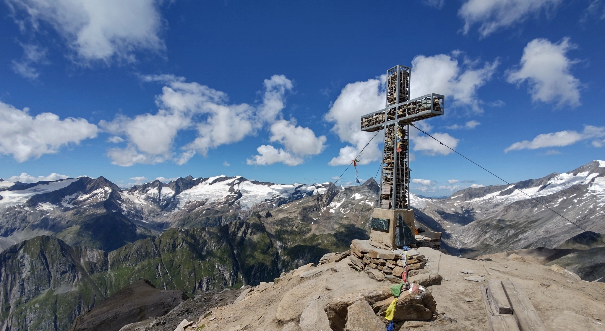
Venediger High Trail – mountain huts and glacial views
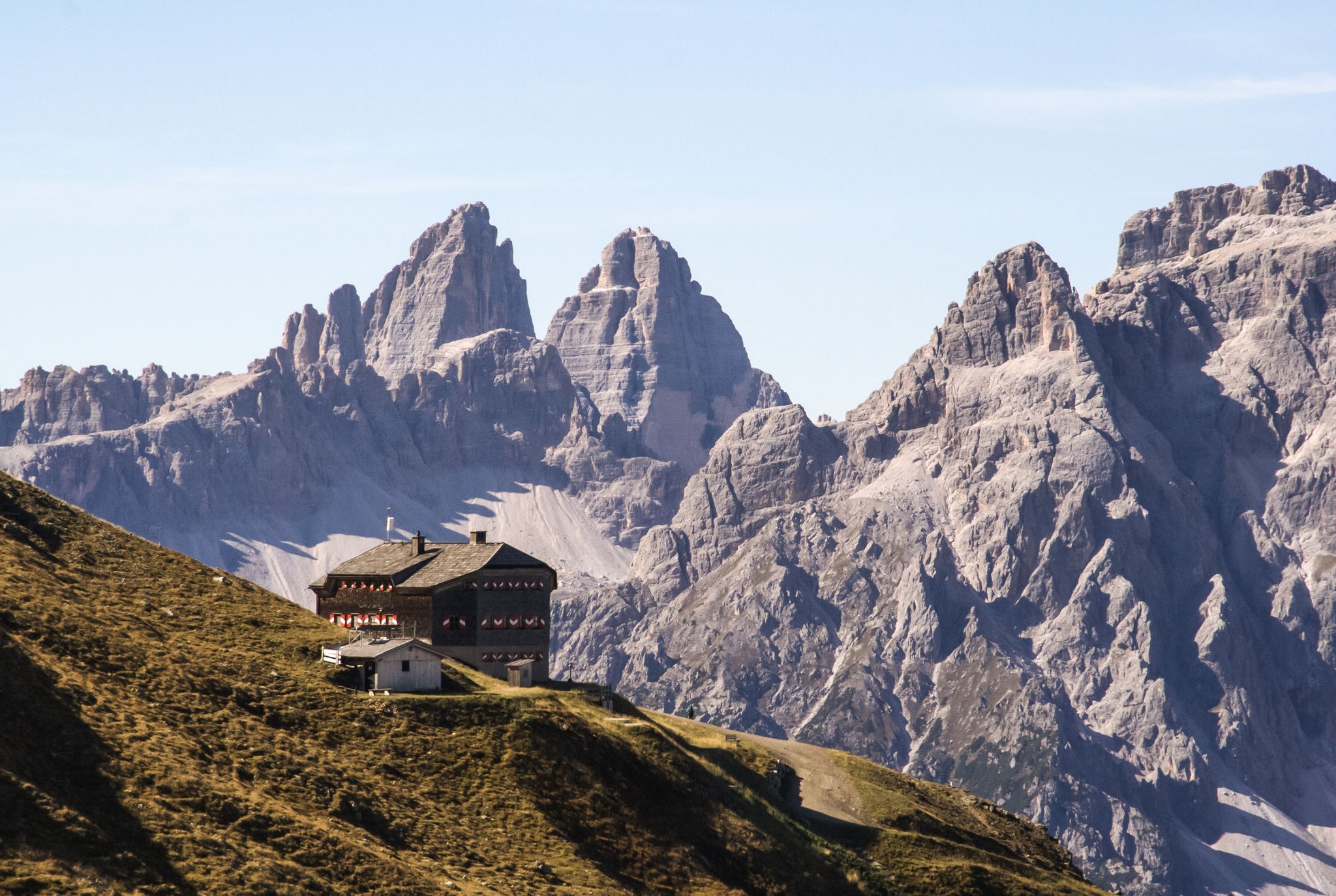
Alpine bliss on the long-distance hiking trails in East Tyrol
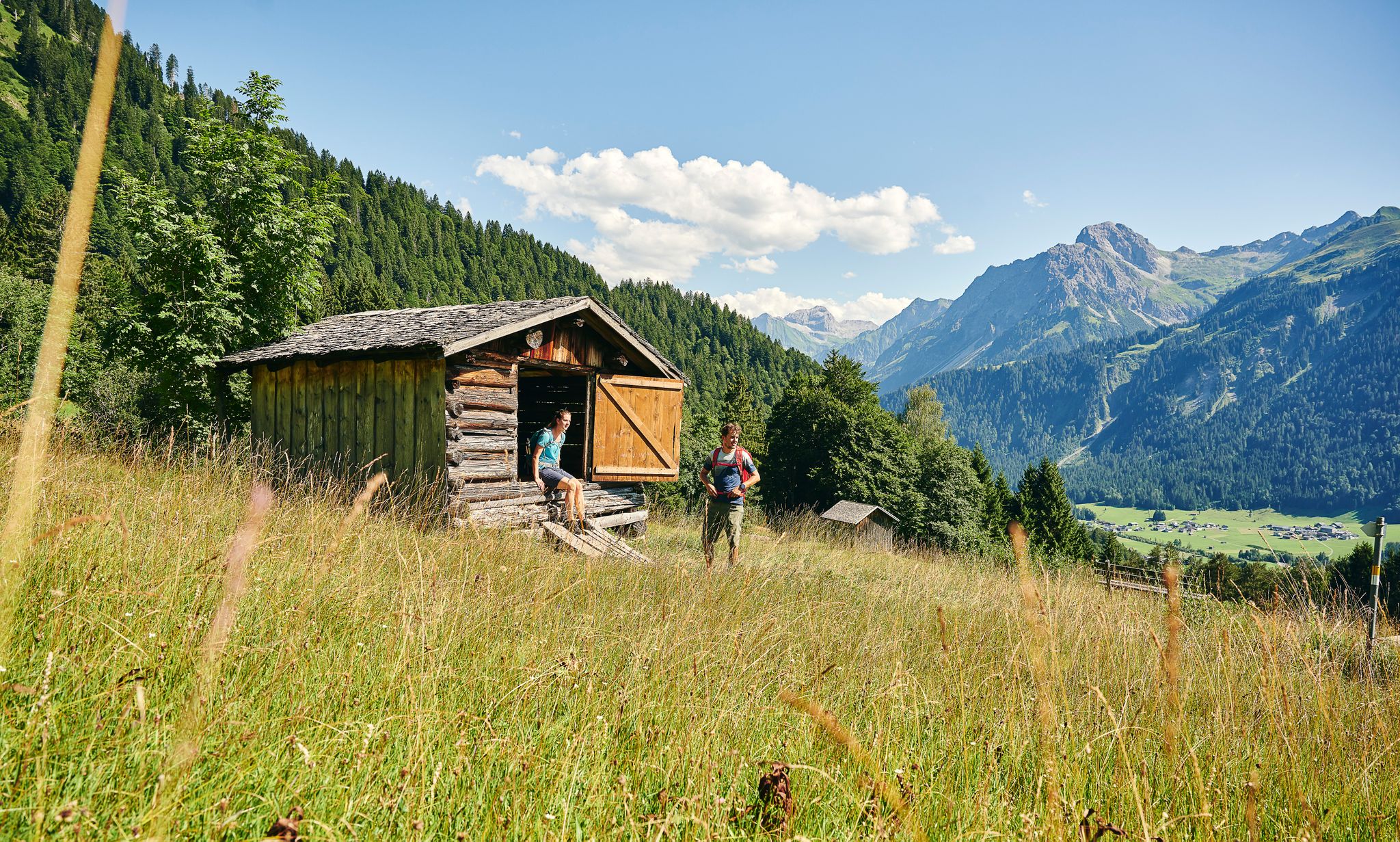
On the way on excellent hiking trails
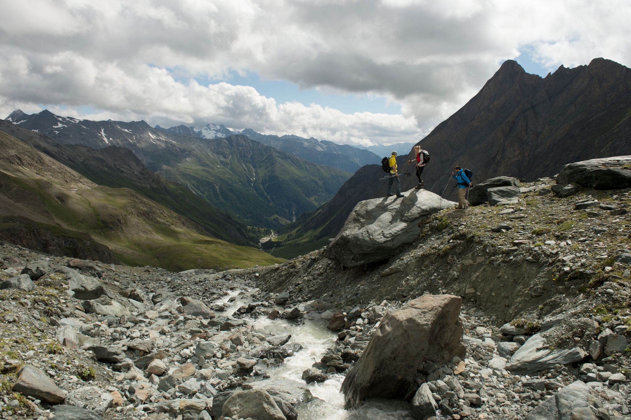
Free like a bird on East Tyrol's Eagle Trail
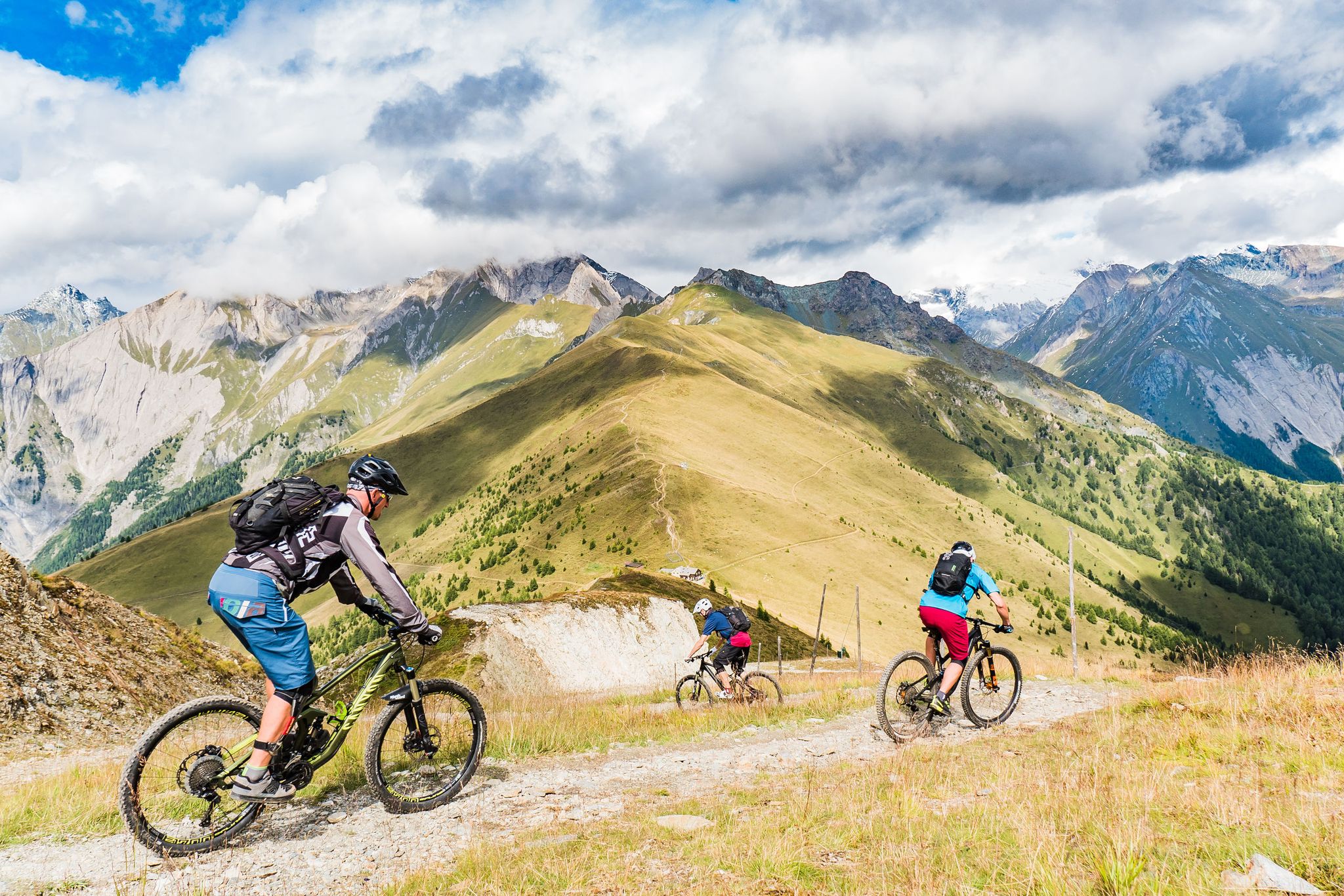
Unlimited mountain bike fun – singletrack paradise in East Tyrol

Big and small adventures in the mountains of Tyrol
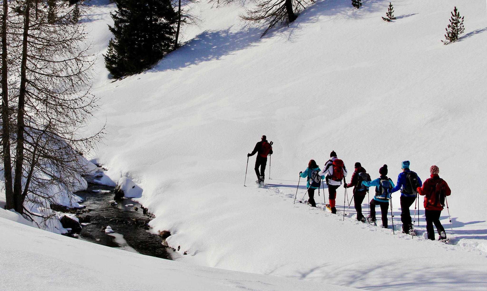
Snowshoe magic in East Tyrol
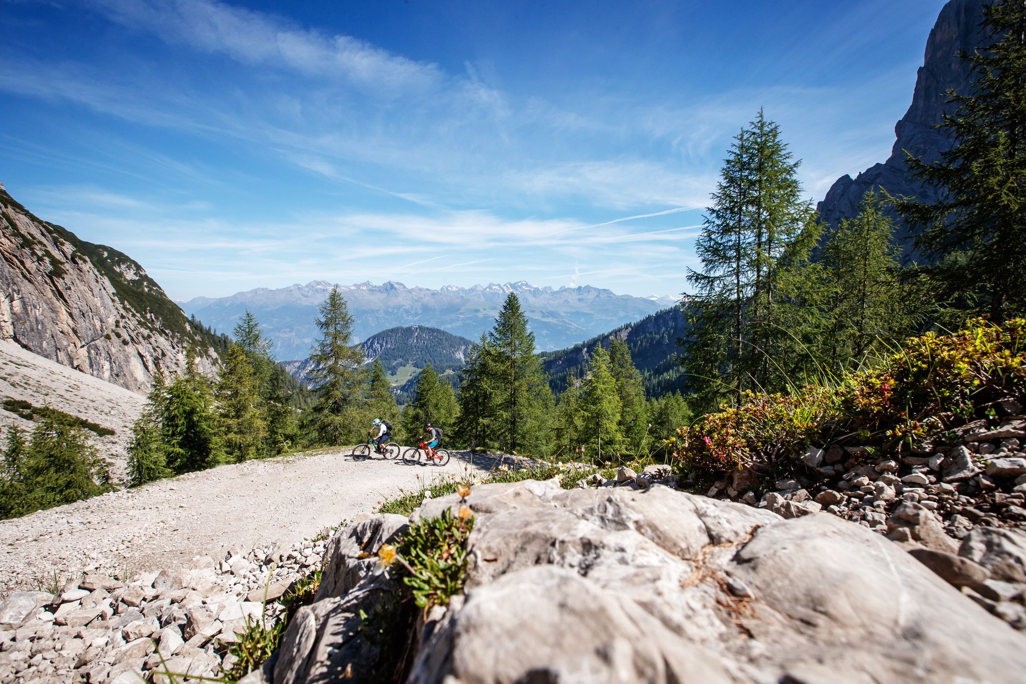
Zehn fantastische Touren durch das Mountainbike-Paradies Osttirol
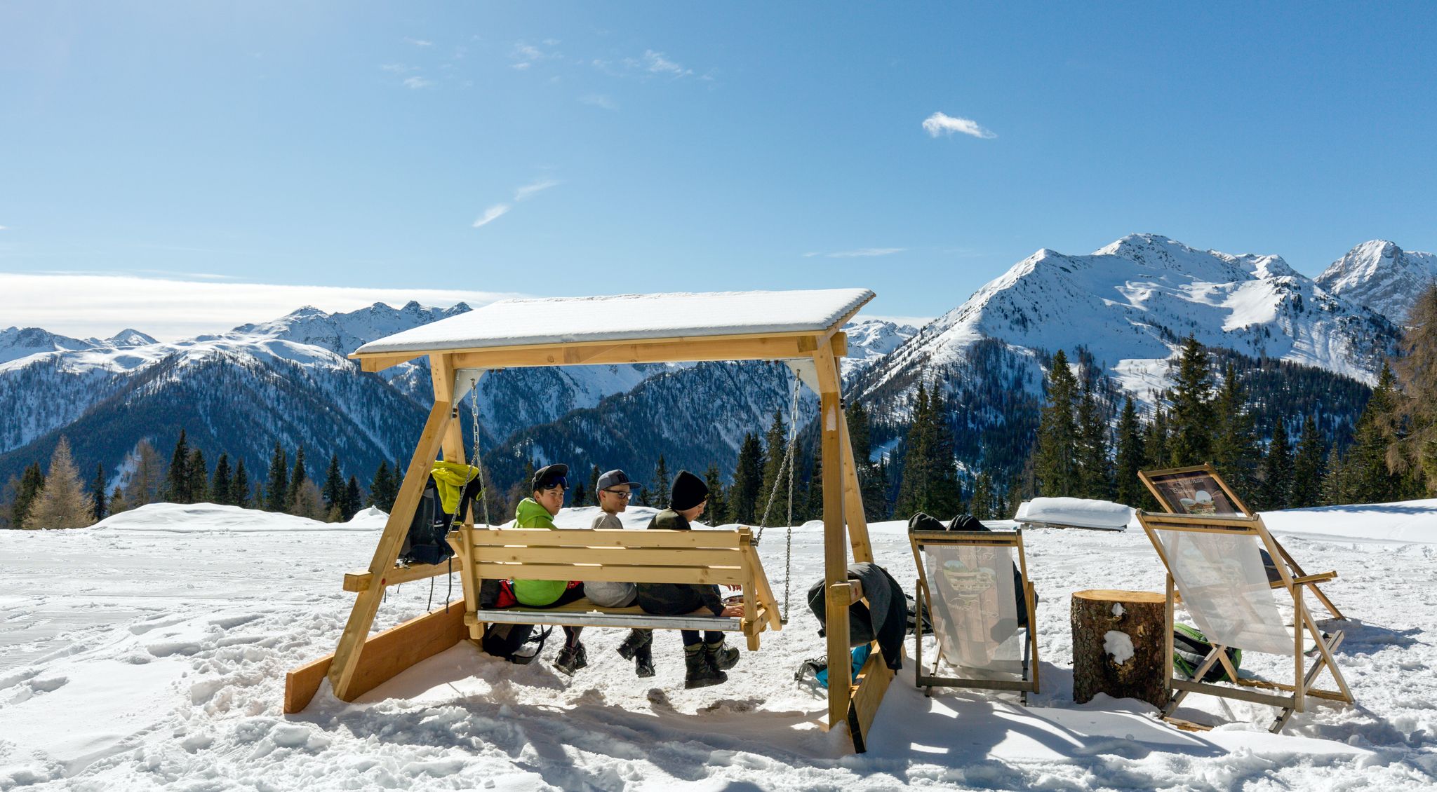
Herzliche Gastlichkeit & traditionelle Kulinarik – Winterwandern in Osttirol
Hiking around Prägraten am Großvenediger
Other adventures around Prägraten am Großvenediger


Tips from the Community

Starting point Maria Hilf for many beautiful hiking tours e.g. over the Gsieser Törl to Italy
1
0

little traffic, mostly good road surface
1
0

Beautiful little house with ruins attached. Fairytale view
0
0

The climb begins opposite the "Café Landerl" and takes us to our intermediate destination, Kals am Großglockner. By the time you reach Peischlach, you have already passed a few bends and more disgusting gradients, but you are rewarded with a beautiful view of the valley. As the cars, the road and the people become smaller and smaller, you only notice how quickly you gain altitude. The road then mostly climbs gently up to Kals (3-6% gradient), but you also lose a little altitude every now and then, so you can rest. The problem is that everything you lose, you have to climb back up again. There are also several tunnels that you have to take, but they are mostly open and therefore brighter, although a rear light is advisable. Following the road around Lesach, you first gain altitude before you crank your way back up to the entrance to Kals. And from here on, it gets sporty. Coming from Kals, a 13% gradient leads straight towards the castle, which we follow before following the signs to the Lucknerhaus. From here on, the gradient is mostly very quiet, although excursion traffic is possible - cyclists can deliberately avoid the toll station. The gradient up to the Lucknerhaus levels off at 8-10%, interrupted by sections that sometimes have a lesser (5%) and sometimes a more (15%) gradient. The route is undulating, with a final bend overcoming the altitude to the Lucknerhaus. Once at the top, the aforementioned Lucknerhaus awaits, as well as a bridge and a deafeningly loud river that comes down from the Großglockner. If you're on a mountain bike, you can also go up to the Lucknerhütte, although this is more difficult for racing bikes. You have to be careful on the descent, however: pasture grids and water channels make the descent more annoying than peaceful. However, you can let the cart run smoothly on the previously steep sections.
0
0

Beautiful cycle path along the Isel. If you're lucky, you'll see people doing water sports. The banks are mostly overgrown, though.
0
1

The Kienburg ruins in East Tyrol are a hidden gem that perfectly combines history and nature. With its well-preserved remains of walls, the ruins offer a fascinating insight into the Middle Ages. Surrounded by an idyllic landscape, the ruins invite you to take short hikes that are rich in picturesque views. Ideal for history buffs and nature lovers, the Kienburg ruins offer a delightful mix of culture and relaxation. A worthwhile destination for a relaxing day trip.
0
0

Beautiful bike path along the Isel.
1
1

The Schwarzach is an approximately 42 km long river in East Tyrol. It rises in the Schwarzachtal at almost 2500 m. On its way to its mouth in the Isel it flows through the Defereggental. It is very relaxing to walk along the banks of this mountain river.
8
0
Frequently Asked Questions
What types of road cycling routes can I find in Prägraten am Großvenediger?
The region offers a diverse range of road cycling routes, from valley cycle paths to challenging mountain passes. You'll find options suitable for various skill levels, including easy, moderate, and difficult routes, often featuring significant mountain backdrops and views of the Großglockner.
Are there road cycling routes suitable for beginners in Prägraten am Großvenediger?
Yes, there are routes suitable for beginners. While many routes involve varied elevations, you can find easier options that stick to valley paths. For example, the region offers at least one easy route, and several moderate ones that might be suitable for those looking for a less strenuous ride.
What are some challenging road cycling routes for experienced riders?
Experienced riders seeking a challenge will find several difficult routes. One notable option is the View of Großglockner – Gothic parish church in Kals loop from Wallhorn, a 45.5-mile (73.3 km) path with extensive views and significant elevation gain. Another demanding route is the St. Jakob in Defereggen – Stalle Pass loop from Defereggental, covering 77.4 km with over 1800 meters of ascent.
What kind of distances and durations can I expect on road cycling routes here?
Road cycling routes in Prägraten am Großvenediger vary significantly in length and duration. You can find shorter, moderate loops like the St. Jakob in Defereggen – Stalle Pass loop from Feistritz, which is 21.1 miles (33.9 km) and takes around 2 hours. Longer, more challenging routes can extend to over 45 miles (70 km) and require 4-5 hours or more to complete, such as the View of Großglockner – Kals am Großglockner loop from Sankt Veit in Defereggen.
Are there any circular road cycling routes in the area?
Yes, many of the road cycling routes around Prägraten am Großvenediger are designed as loops, allowing you to start and end at the same point. Examples include the Past the Kienburg ruins – Isel Valley Cycle Path loop from Virgen and the various loops that incorporate the Stalle Pass or offer views of the Großglockner.
What are the best times of year for road cycling in Prägraten am Großvenediger?
The best time for road cycling in this alpine region is typically from late spring (May/June) through early autumn (September/October). During these months, mountain passes are generally clear of snow, and the weather is more stable and pleasant for cycling. Always check local weather and road conditions, especially for higher elevations, before heading out.
What scenic viewpoints or landmarks can I expect to see along the routes?
The routes often feature breathtaking alpine scenery. You can expect views of the majestic Großglockner and the Großvenediger Summit. Many routes also pass by significant mountain passes like the Staller Pass and the Klammljoch Pass. You might also encounter cultural landmarks such as the Gothic parish church in Kals or the Austria–Italy Border Monument at Staller Sattel.
What do other road cyclists say about the routes in Prägraten am Großvenediger?
The road cycling routes in Prägraten am Großvenediger are highly regarded by the komoot community, holding an average rating of 4.9 stars from over 10 reviews. Cyclists often praise the stunning alpine valleys, the challenging yet rewarding mountain passes, and the well-maintained river cycle paths that offer diverse riding experiences.
Is there parking available near the road cycling routes?
In alpine villages like Prägraten am Großvenediger and surrounding towns, you can typically find public parking facilities. It's advisable to look for designated parking areas in the village centers or near popular trailheads. Some accommodations may also offer parking for guests.
What essential gear should I bring for road cycling in this region?
Given the varied terrain and alpine environment, essential gear includes a well-maintained road bike, a helmet, appropriate cycling apparel for changing weather conditions (layers are key), water bottles, snacks, a repair kit, and navigation tools. For routes involving higher passes, consider bringing extra warm layers and rain gear, even in summer.
Are there any cafes or places to refuel along the road cycling routes?
While specific cafes aren't listed for every route, the villages and towns along the routes, such as Prägraten am Großvenediger, Virgen, and Kals, offer opportunities to refuel. You'll typically find cafes, restaurants, and small shops where you can purchase refreshments and food. Planning your route with potential stops in mind is recommended.
Most popular routes around Prägraten am Großvenediger
Most popular attractions around Prägraten am Großvenediger

Get inspired with the komoot mobile app


Explore more
Browse the best Road cycling routes in other regions.
