The 8 Most Amazing Peaks around Münzbach
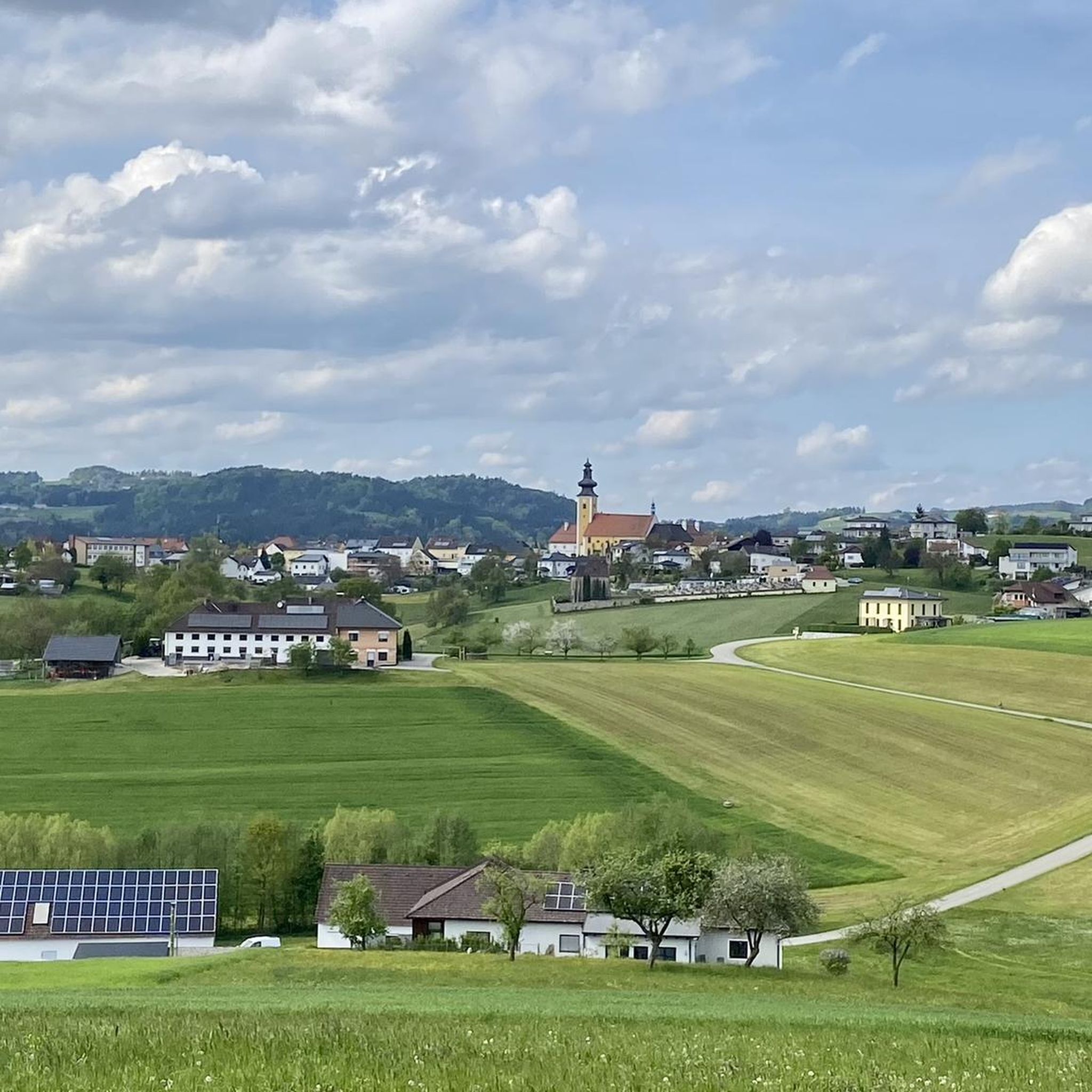
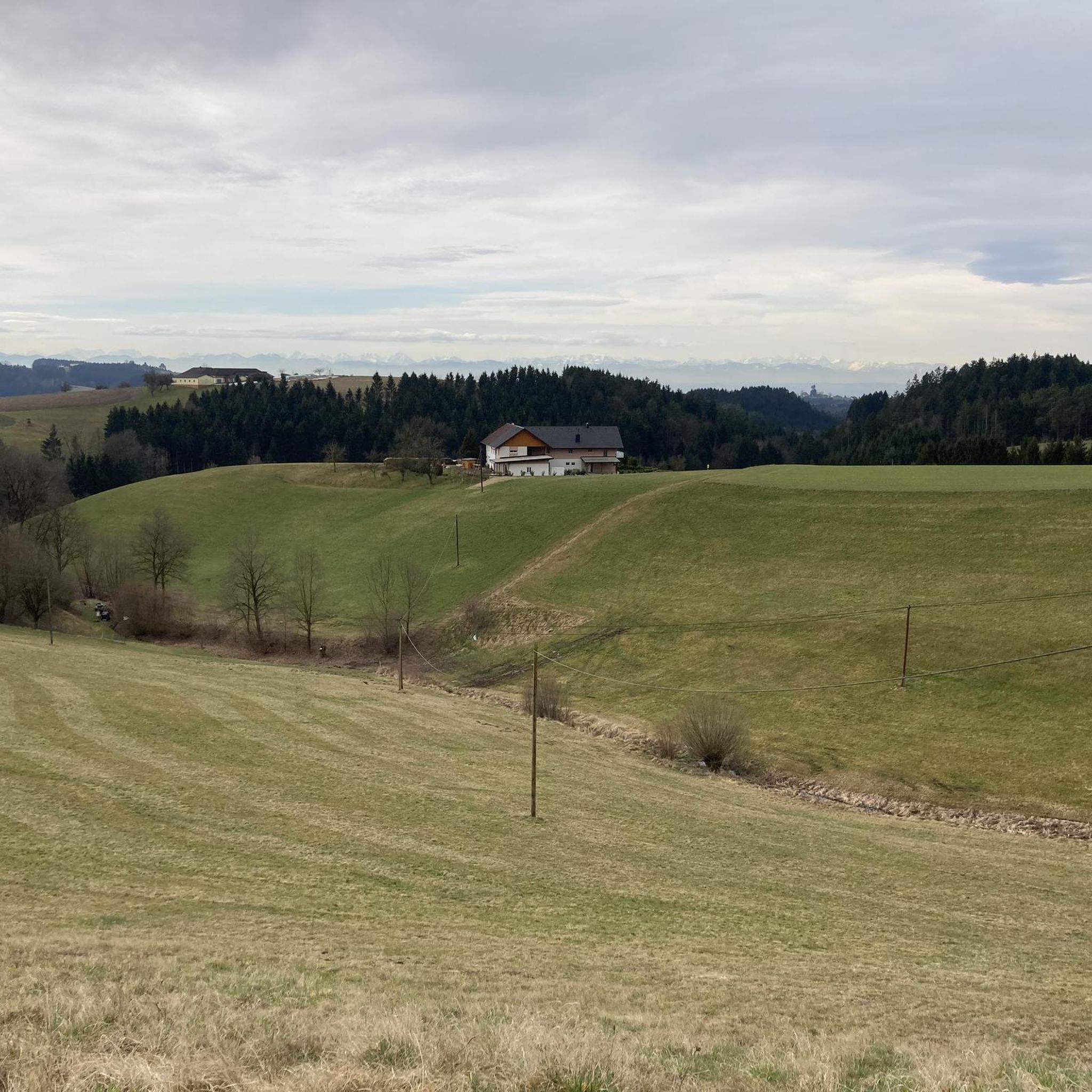
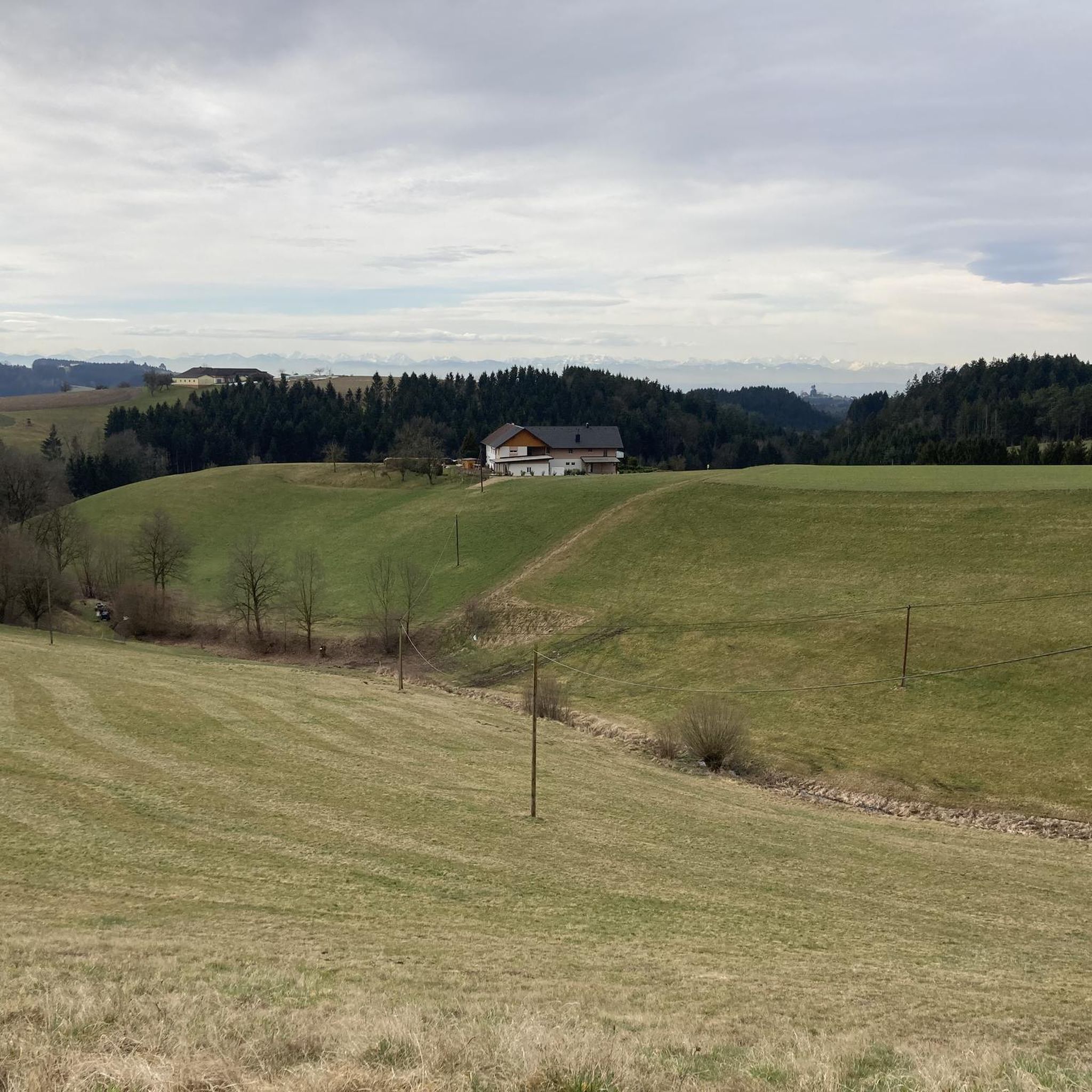
Best mountain peaks around Münzbach are characterized by a hilly landscape rather than prominent mountain peaks in the conventional sense. The highest elevation within the municipality reaches approximately 499 meters above sea level. The area offers a scenic environment with rolling hills and green forests, providing opportunities for hiking and enjoying nature. Visitors will find a charming, hilly landscape ideal for leisurely hikes and exploring natural features.
Best mountain peaks around Münzbach
- The most popular mountain peaks is Weltstein,…
Last updated: October 10, 2026
Weltstein
Highlight • Natural Monument
Translated by Google •
Tip by

Peace Cross on Gipfelstein
Highlight • Monument
Translated by Google •
Tip by

Sign up now to discover places like this
Get recommendations on the best single tracks, peaks, & plenty of other exciting outdoor places.
Brandstetterkogelhütte (Viktoria Adelheid refuge)
Highlight • Mountain Hut
Translated by Google •
Tip by

View from Brandstetterkogel
Highlight • Viewpoint
Translated by Google •
Tip by
Gypsy Wall Rock Formation
Highlight • Natural Monument
Translated by Google •
Tip by

Sign up for free to discover even more peaks around Münzbach.
Already have an account?
Start today with a free account
Your next adventure awaits.

Tips from the Community

Wonderful circular hike away from the hustle and bustle in the hilly Mühlviertel landscape. The legend of the devil (information board at the summit cross) is really brilliant, a clever farmer😜
2
1

Such rock formations are more commonly found further north in the Mühlviertel region. A great destination for a day trip that is easy to reach or can be explored via a beautiful circular hiking trail: https://www.komoot.com/de-de/tour/2058392409
2
3

Great view of Grein.
1
0

Managed refuge with many delicacies at reasonable prices, great view of Grein from the terrace!
1
0

The hiking trail is also wonderful when coming up from Windegg. The last stretch to the rock formation is then a matter of personal judgement.
0
0

Summit tour with beautiful views and chapel.
1
0

impressive rock formation with a small cave
0
0

Frequently Asked Questions
What kind of landscape can I expect when visiting the Münzbach area?
The Münzbach area is characterized by a charming, hilly landscape with rolling hills and green forests, rather than prominent mountain peaks in the conventional sense. It's ideal for leisurely hikes and enjoying natural scenery.
What are some notable natural features or viewpoints around Münzbach?
You can explore several interesting natural features and viewpoints. The Weltstein is a natural monument and one of the highest elevations in the nearby market town of Schwertberg, offering a great rest spot. Another impressive site is the Gypsy Wall Rock Formation, known for its magnificent rock structures and a small cave. For panoramic views, the View from Brandstetterkogel offers fantastic vistas in all directions, being the highest point in its immediate area.
Are there any cultural or historical sites on the elevated spots around Münzbach?
Yes, the Peace Cross on Gipfelstein is a significant man-made monument and viewpoint. It features a mighty cross symbolizing peace and provides beautiful views of the Danube, Grein, and the Mühlviertel region.
Are there family-friendly spots or activities on the peaks around Münzbach?
Absolutely. The Brandstetterkogelhütte (Viktoria Adelheid refuge) is a family-friendly hut that is very easy to reach and offers good food. The Gypsy Wall Rock Formation is also considered family-friendly, with seating available to marvel at the impressive rock formations.
What kind of hiking trails are available near Münzbach's elevated areas?
The area offers various trails suitable for leisurely hikes through rolling hills and forests. While there are no extreme mountain climbs, you can find moderate routes like loops from Münzbach Town Square to Windhaag Castle Ruins or the Felsenruhe Rest Area. These trails typically involve elevation gains suitable for good fitness levels, with some paths being easily accessible.
What other outdoor activities can I do near the elevated areas of Münzbach?
Beyond hiking, the region around Münzbach offers opportunities for running, mountain biking, and gravel biking. You can find various routes, including running loops from Fichtenhain or Arbing, and mountain bike trails like the 'Descent to Randisch Mühle – Weltstein loop'. For more details on these activities, explore the Running Trails around Münzbach, MTB Trails around Münzbach, and Gravel biking around Münzbach guides.
Are there places to eat or rest near the elevated spots?
Yes, the Brandstetterkogelhütte (Viktoria Adelheid refuge) is a welcoming hut that usually operates all year round, offering good food in a forest setting. The Weltstein also provides a wonderful place for a rest.
What is the highest point within the Münzbach municipality?
The highest elevation within the municipality of Münzbach reaches approximately 499 meters (1,637 feet) above sea level, located near the Lang farm. The town itself lies at an average elevation of 426 meters.
What do visitors enjoy most about the elevated areas around Münzbach?
Visitors particularly appreciate the scenic environment, the peaceful atmosphere, and the opportunities for leisurely hikes. Many enjoy the impressive rock formations at the Gypsy Wall, the panoramic views from spots like the Brandstetterkogel, and the cultural significance of the Peace Cross on Gipfelstein. The community also values the well-maintained trails and the chance to connect with nature.
Is the Münzbach area suitable for experienced hikers looking for challenging mountain experiences?
While Münzbach offers pleasant hikes through its hilly landscape, it does not feature traditional mountain peaks or challenging climbs in the conventional sense. For more demanding mountain experiences, experienced hikers would need to venture to other parts of the broader Mühlviertel region, such as the Hochficht, which is known as the highest mountain in the area.
Can I find information about local legends or history at any of the elevated sites?
Yes, at the Weltstein, you'll find an information board detailing a local legend about the devil and a clever farmer, adding a touch of local folklore to your visit.
Most popular routes around Münzbach
Most popular attractions around Münzbach

Get inspired with the komoot mobile app


Explore more
See even more amazing summits around Münzbach with these guides:
