The best cycling routes in Kachina Peaks Wilderness
5.0
(2)
129
riders
10
rides
Touring cycling in Kachina Peaks Wilderness offers routes through diverse landscapes surrounding the San Francisco Peaks, including Arizona's highest point, Humphreys Peak. The region features extensive Ponderosa pine forests, unique volcanic formations, and vibrant aspen groves, particularly noticeable at higher elevations. While direct cycling within the designated wilderness is restricted, the broader area provides numerous roads and gravel paths for touring cyclists. Routes often include significant elevation changes, traversing varied terrain from forest roads to paved ascents.
Best touring cycling…
Last updated: October 3, 2026
7
riders
21.1km
01:41
590m
590m
Hard bike ride. Very good fitness required. Mostly paved surfaces. Suitable for all skill levels.
14
riders
22.7km
02:26
530m
530m
Hard bike ride. Very good fitness required. Mostly paved surfaces. Suitable for all skill levels.

8
riders
Easy bike ride. Great for any fitness level. Mostly paved surfaces. Suitable for all skill levels.
16
riders
23.7km
02:25
640m
640m
Hard bike ride. Very good fitness required. Mostly paved surfaces. Suitable for all skill levels.
15
riders
35.5km
02:52
430m
430m
Moderate bike ride. Good fitness required. Mostly paved surfaces. Suitable for all skill levels.
Get access to more routes and recommendations from other explorers.
Already have an account?
Our route recommendations are based on thousands of hikes, rides, and runs completed by other people on komoot.
Start today with a free account
Your next adventure awaits.

Tips from the Community

The area that Flagstaff sits on has been a crossroads and gathering point for centuries. Many Native people have, and continue, to call the area home. Evidence of their history and ties to the area can be found at the nearby Walnut Canyon and Wupatki National Monuments. Also, Flagstaff sits along the world-famous Route 66, giving it a rich roadside attraction element that only towns along Route 66 can have. Those biking along Route 66 or the Arizona Trail will cross paths here, and perhaps the road and dirt riders will share stories of their different journeys over a beer at one of the excellent breweries in town. Flagstaff is a full service town with everything and outdoor adventurer could need, including bike shops, cafes and restaurants, grocery stores, and many great lodging options. If your legs need a rest for a day or two make Flagstaff your home for a while, you won't regret it.
0
0

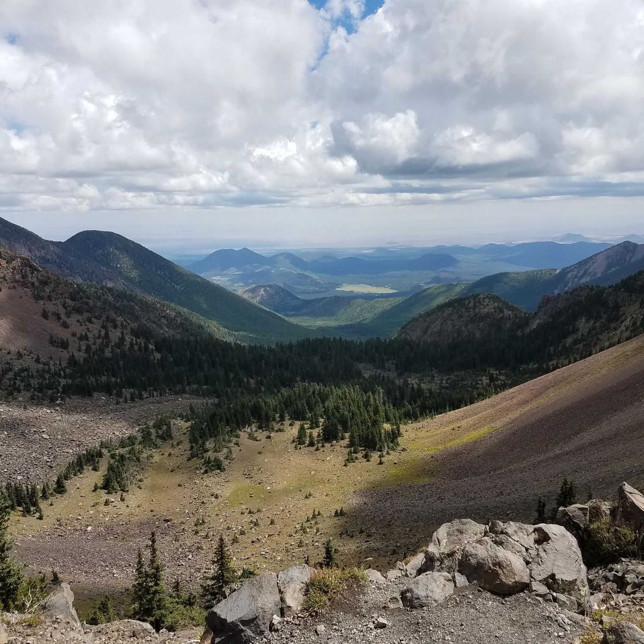
Lockett Meadow is an incredible scenic area and has great views of the surrounding mountains. The trail to get up the Locket Meadow is rough in places, but it's worth the effort for the amazing setting.
0
0

Check trail conditions before you go—this area can be muddy or snow-covered well into spring. The climb up is steep and challenging, but the views of the Inner Basin are worth it. Be ready for narrow switchbacks, loose rock, and hikers on the trail. A solid set of tires and good brakes make all the difference on the descent.
0
0

The most northern section of the Karen Cooper Trail passes through Cheshire Park, which backs up to a fair bit of Open Space. This is a popular spot for people walking their dogs or people looking for some quiet green space.
0
0
The Karen Cooper Trail is part of the Flagstaff Urban Trail System and passes right below the Anasazi Ridge neighborhood. There is a head-on view of Elden Mountain from the path. If heading north from here on the trail, be aware that there is a trail intersection coming up in just a couple hundred yards.
0
0

Flagstaff is a picturesque mountain town and due to its high elevation, it's a runner's paradise. Whether you’re a local or from out of town, you can easily find company for a run. Athletes from all around the world, including NAZ Elite runners, NCAA champions and World Champions—who all come to train here to prepare for their championship seasons. As the saying goes about training in the high altitudes, “there's gold in the hills!”
0
0

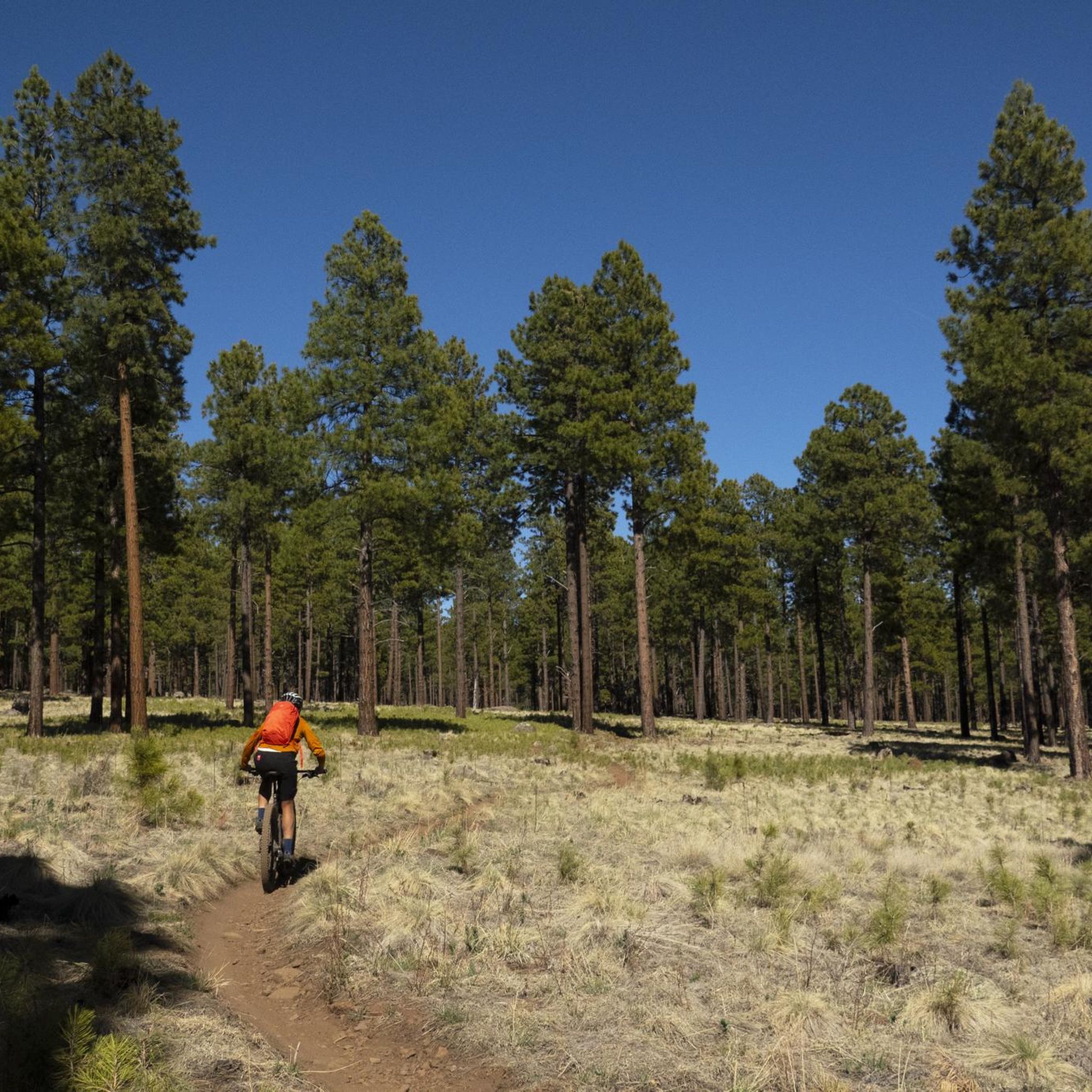
The Schultz Trailhead in Flagstaff is a gateway to the Mount Elden/Dry Lake Hills Trail System. These trails are open to mountain biking and horseback riding through ponderosa pine forests and seasonal wildflower fields. The trailhead connects to routes like the Schultz Creek Trail, known for its moderate elevation changes and natural beauty. There are no restrooms, and trail closures are checked for in winter when access roads are affected by snow.
1
0

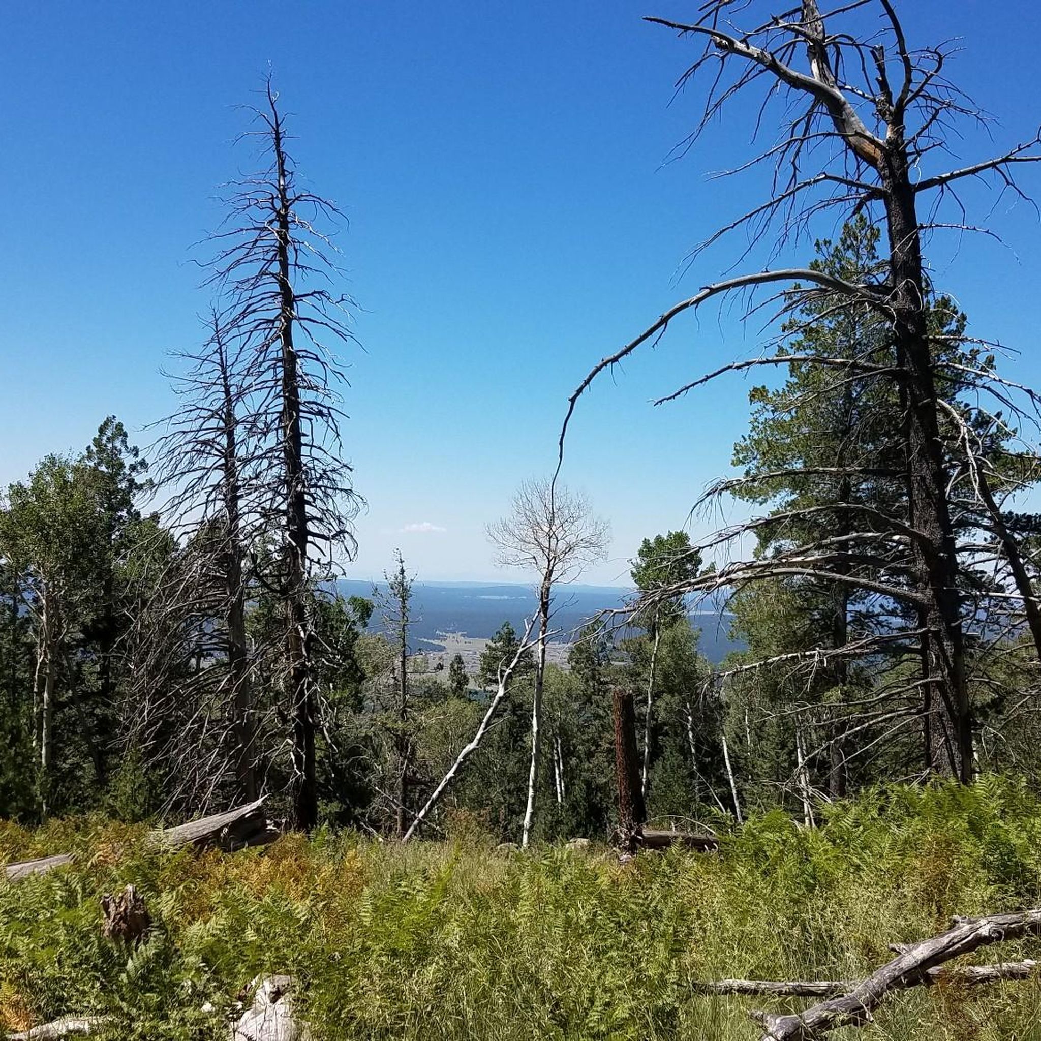
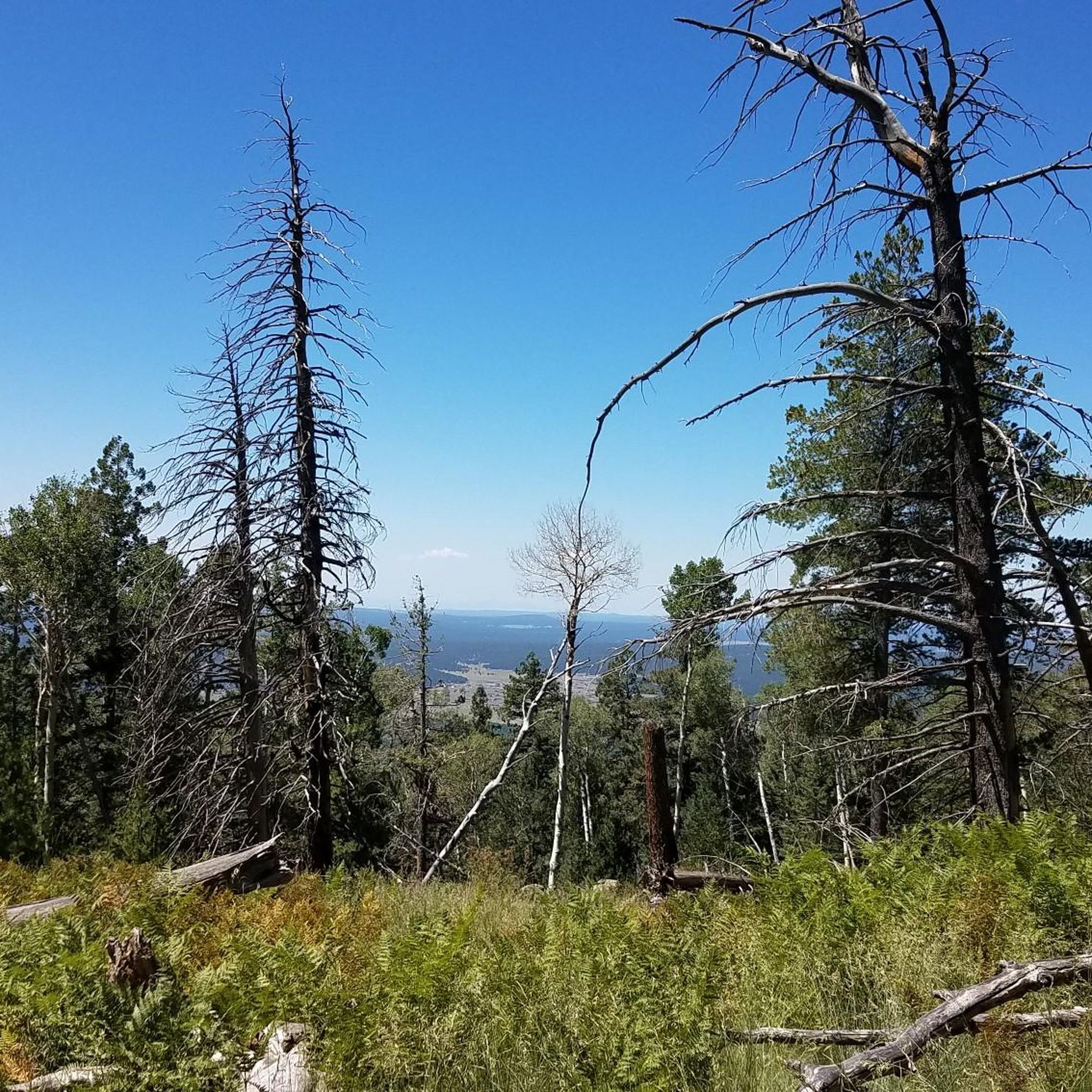
North Snow Bowl Road offers one of Arizona's top cycling climbs and is the highest paved road in the state. You will be treated to views of the surrounding mountains and Flagstaff below. Be cautious, as the road is winding.
0
0
Frequently Asked Questions
How many touring cycling routes are available in the Kachina Peaks Wilderness area?
There are 10 touring cycling routes available in the broader Kachina Peaks Wilderness region. These routes offer a variety of experiences, from easier loops to more challenging ascents, catering to different skill levels.
What is the best time of year for touring cycling in the Kachina Peaks Wilderness region?
The region is particularly stunning in the fall when the aspen groves display vibrant colors. Summer offers pleasant conditions, though higher elevations can be cooler. It's always advisable to check local weather conditions, especially for routes at higher altitudes like those near the San Francisco Peaks.
Are there any restrictions for cycling within the Kachina Peaks Wilderness itself?
Yes, it's important to note that mechanized transport, including bicycles, is generally prohibited on trails within the designated Kachina Peaks Wilderness boundaries to preserve the natural environment. However, the broader Flagstaff area and regions surrounding the wilderness offer an abundance of stunning landscapes and diverse cycling routes on roads and gravel paths.
What kind of terrain can I expect on touring cycling routes around Kachina Peaks Wilderness?
You can expect diverse terrain, ranging from paved roads with significant elevation changes, such as the ascent to Arizona Snowbowl, to gravel paths and forest service roads. Routes often traverse dense Ponderosa pine forests, unique volcanic formations, and vibrant aspen groves, especially at higher elevations around the San Francisco Peaks.
Are there routes suitable for beginners or less experienced touring cyclists?
Yes, there are 3 easy touring cycling routes in the area. One such route is the Karen Cooper Trailhead – Downtown Flagstaff loop from Museum of Northern Arizona, which is 8.5 miles (13.7 km) long with minimal elevation gain, making it a good option for those seeking a less strenuous ride.
What are some challenging touring cycling routes in the area?
For experienced touring cyclists seeking a challenge, there are 3 difficult routes. The T V Hill – Elden Mountain Lookout Tower loop from Museum of Northern Arizona is a demanding 16.8-mile (27.0 km) path with substantial climbing towards Elden Mountain, offering expansive views. Another challenging option is the Lockett Meadow loop from Eighty-nine Tank, a 14.1-mile (22.7 km) route with significant elevation gain through scenic forest.
Are there any circular touring cycling routes available?
Yes, many of the touring cycling routes in the area are designed as loops. For example, the Schultz Trailhead loop from Museum of Northern Arizona is a moderate 11.5-mile (18.4 km) circular route. Another option is the Schultz Trailhead loop from Coconino Estates, a moderate 15.5-mile (24.9 km) loop.
What natural features or landmarks can I see while cycling in the Kachina Peaks Wilderness area?
While cycling in the surrounding region, you'll be treated to views of the majestic San Francisco Peaks, including Humphreys Peak, Arizona's highest point. You might also encounter unique volcanic features, dense Ponderosa pine forests, and vibrant aspen groves. Notable highlights in the area include Humphreys Peak itself and the Forest Boulders.
Is there parking available near the touring cycling routes?
Yes, many routes start from locations with available parking. For instance, routes originating from the Museum of Northern Arizona or near trailheads like Schultz Trailhead often have designated parking areas. It's always a good idea to check specific route details for parking information before you go.
Are there family-friendly touring cycling routes in the area?
While the designated wilderness has restrictions, the broader region offers routes suitable for families. Easier, shorter loops with less elevation gain, such as the Karen Cooper Trailhead – Downtown Flagstaff loop, can be good options for families looking for a more relaxed ride.
What do other touring cyclists enjoy the most about touring cycling in Kachina Peaks Wilderness?
The area is highly rated by the komoot community, with an average score of 5.0 stars. Reviewers often praise the diverse landscapes, from the towering San Francisco Peaks to the serene Ponderosa pine forests and vibrant aspen groves, as well as the challenging yet rewarding ascents and scenic views.
Most popular routes in Kachina Peaks Wilderness
Most popular attractions in Kachina Peaks Wilderness

Get inspired with the komoot mobile app


Explore more
Browse the best Cycling routes in other regions.
