The best road cycling routes in Sangre De Cristo Wilderness
4.0
(1)
62
riders
2
rides
Road cycling routes in Sangre De Cristo Wilderness provide challenging rides with significant elevation gains and panoramic views of the majestic Sangre de Cristo Range. While the wilderness itself restricts mechanized transport, the surrounding areas offer extensive paved roads for cyclists. The region is characterized by dramatic vertical topography, with towering peaks exceeding 14,000 feet, and is dotted with alpine lakes and forests of oak, aspen, and spruce. These routes often feature sustained climbs and descents, providing a demanding experience…
Last updated: July 22, 2026
11
riders
49.5km
02:24
690m
690m
If you're seeking a road cycling route that combines a solid workout with the undeniable charm of a historic Colorado mountain town, the Historic Downtown Salida – Historic Downtown Salida…
9
riders
36.3km
01:37
310m
310m
Moderate road ride. Good fitness required. Some segments of this route may be unpaved and difficult to ride.

Sign up for free
13
riders
41.7km
02:01
620m
620m
The Poncha Pass from Salida road cycling route offers a classic Colorado climb, taking you from the Arkansas River Valley up to the continental divide. You'll pedal through changing scenery,…
4.0
(1)
8
riders
51.1km
02:22
450m
450m
Cycle the moderate 31.7-mile Centerville loop from Salida, gaining 1475 feet of elevation with views of the Sangre de Cristo and Sawatch mou
7
riders
74.4km
03:48
1,300m
1,300m
Road cycling the difficult Monarch Pass from Salida offers a challenging 46.2-mile climb with 4269 feet of elevation gain to the Continental
Our route recommendations are based on thousands of hikes, rides, and runs completed by other people on komoot.
Start today with a free account
Your next adventure awaits.
Login or Signup
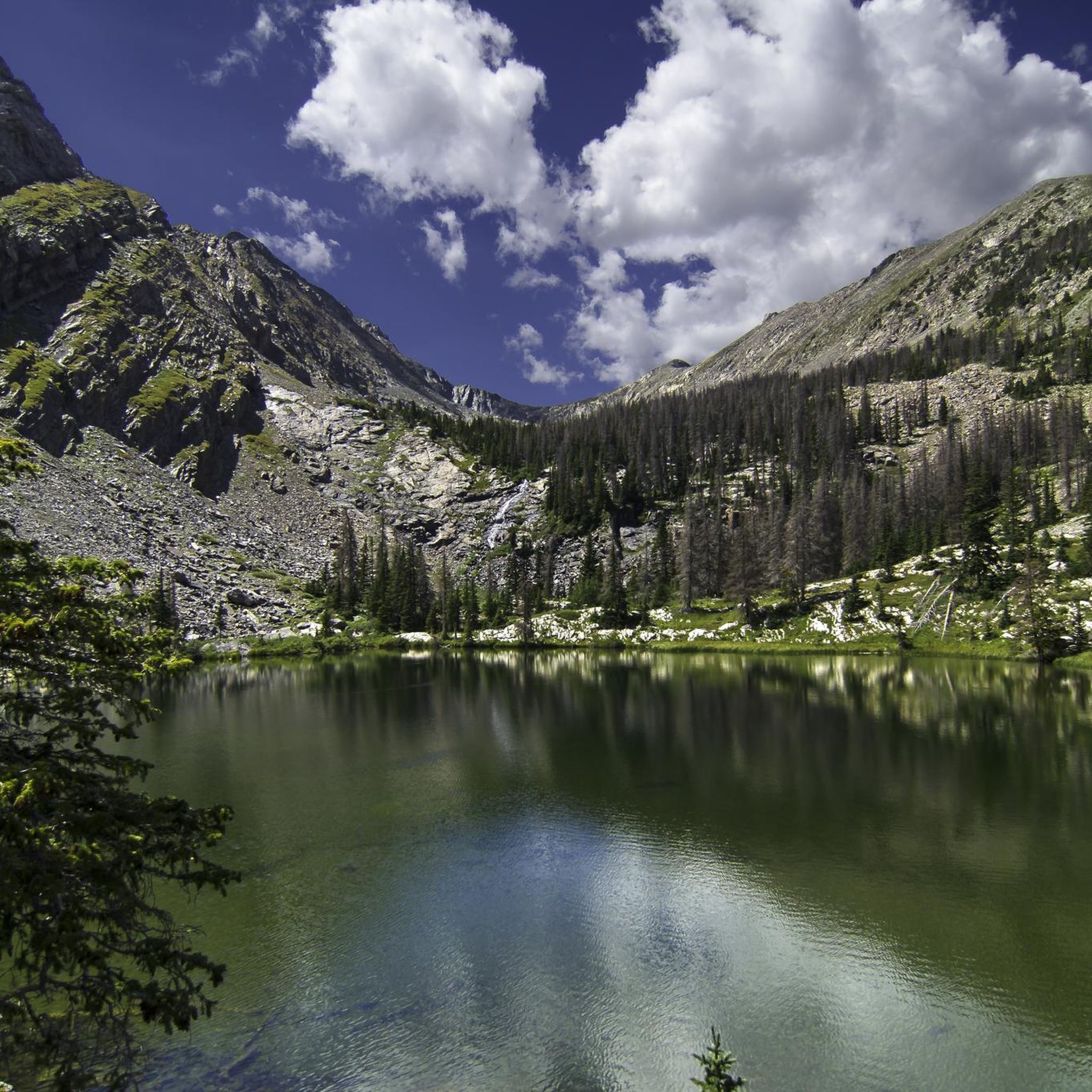
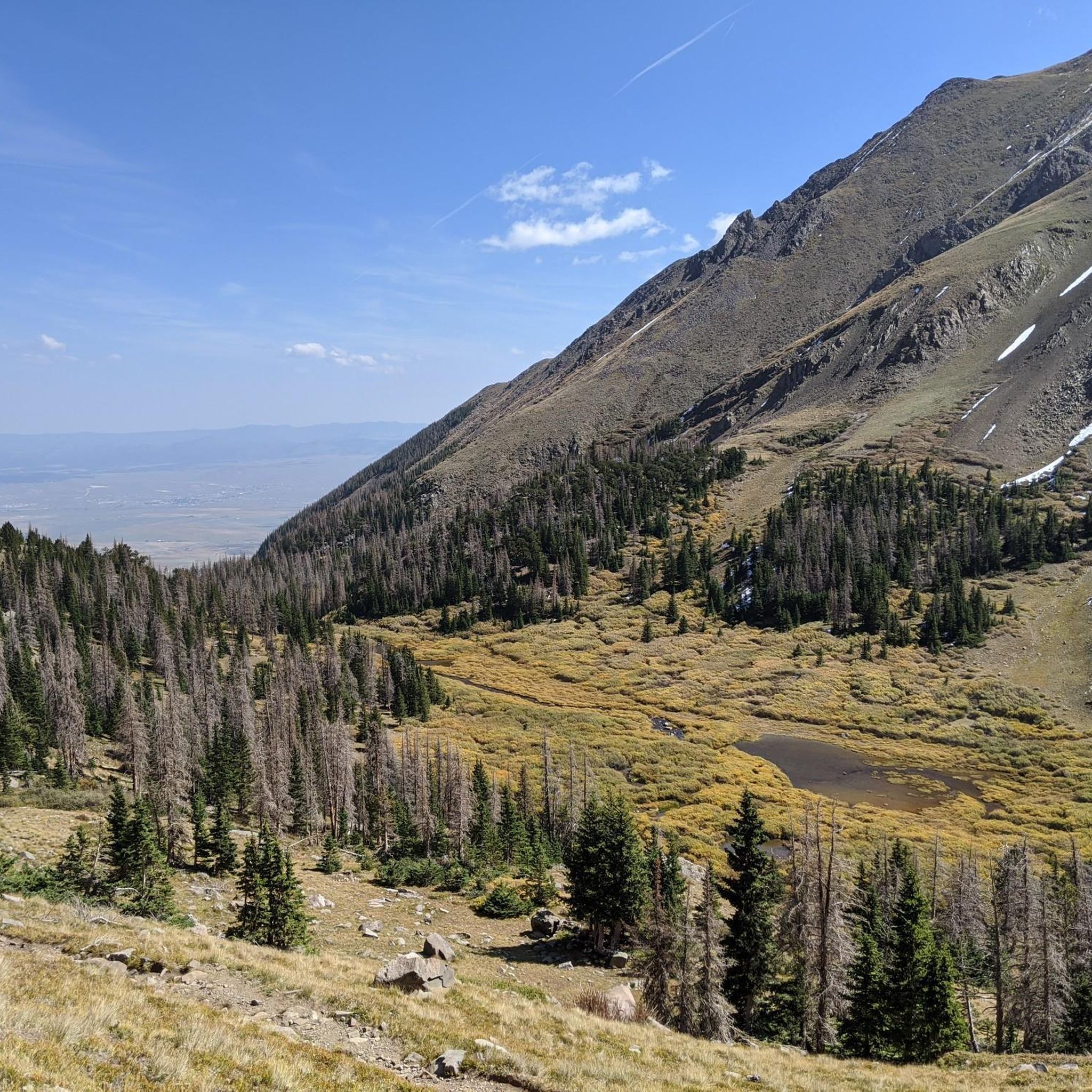
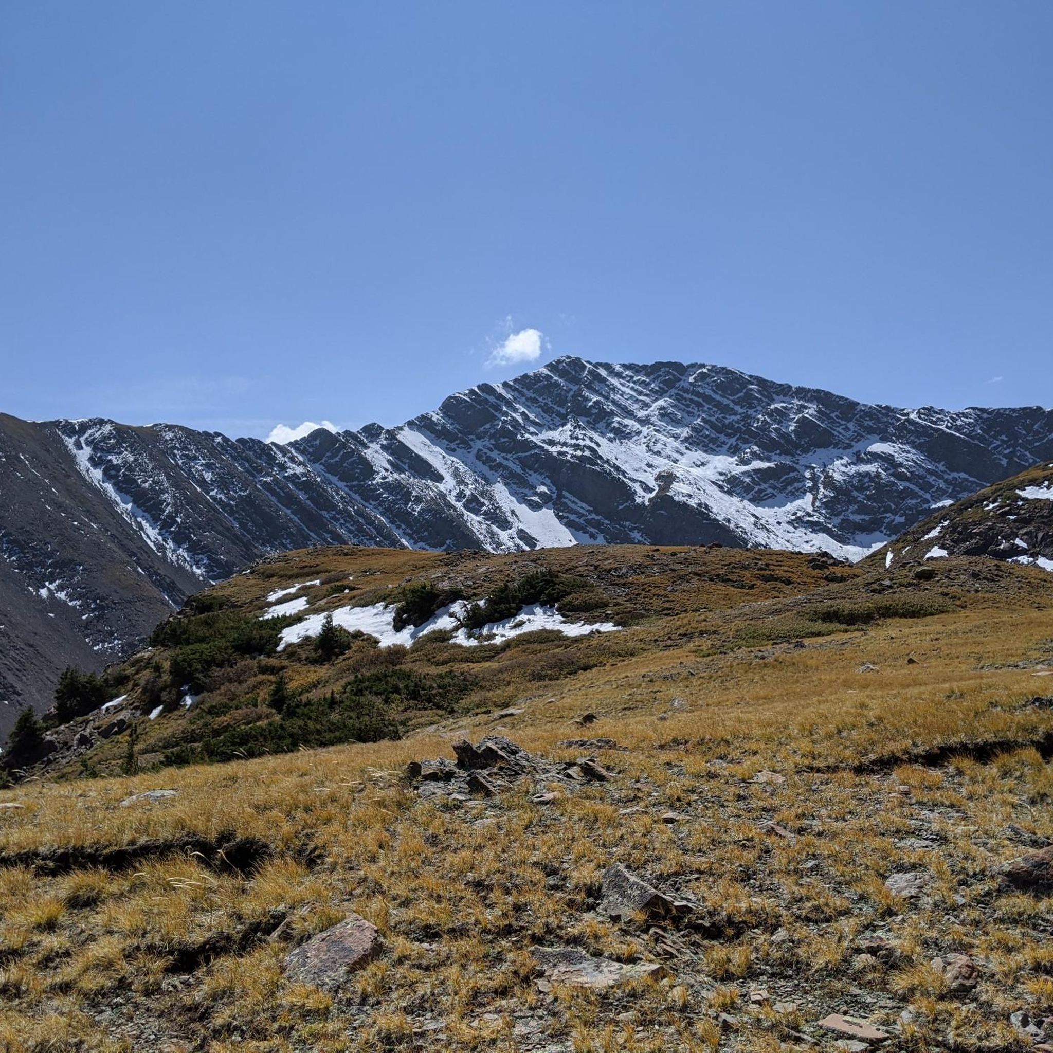
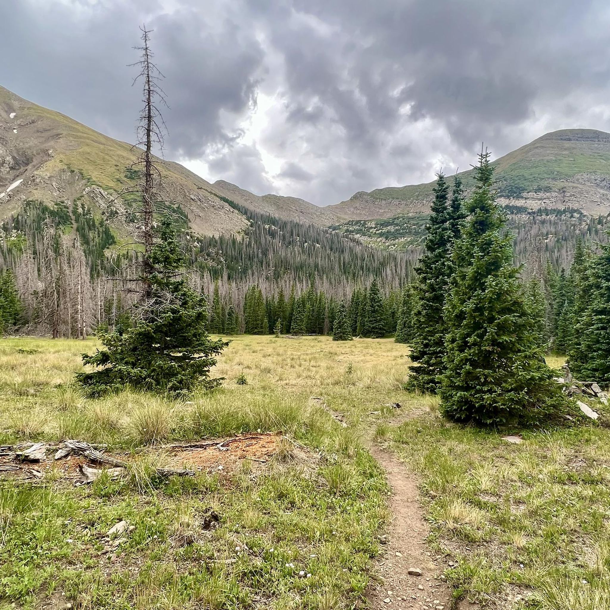

Tips from the Community

The Salida River Trail is a popular walking and biking trail just a few blocks north of the Historic downtown. This attractive trail parallels the Arkansas River, where you can often see whitewater rafters and kayakers in the summer months.
0
0
Poncha Springs is a tiny town just west of Salida, Colorado. Although there are not many facilities here, there is the Poncha Market, a hidden-gem where you can purchase drinks, snacks, and sandwiches at Mabel's Deli (located in the market) to refuel, and a cool town hall (in the old historic school house) where there are bathrooms you can use.
0
0
Just north of the small community of Centerville, Colorado, is a pullout that offers fantastic views of the Collegiate mountains. There are signs that tell you the which peaks you're looking at, some history of the area, and the ecology of the Arkansas River Valley. This is a great place to pause, snap some photos, and sip some water as you admire the views.
0
0
Poncha Springs is a tiny town just west of Salida, Colorado. Although there are not many facilites here, there is the Poncha Market, a hidden-gem where you can purchase drinks, snacks, and sandwiches at Mabel's Deli (located in the market) to refuel, and a cool town hall (in the old historic school house) where there are bathrooms you can use.
0
0
Poncha Pass stands at 9,010 feet and is a beautiful wide, open summit that marks the boundaries between Chaffee County and Saguache Counties, as well as the entrance to the San Luis Valley. This is a great place to admire the views, sip some water, and snap some photos before continuing on your ride.
1
0

Salida is a beautiful mountain town located in the heart of the Rockies in central Colorado. This little gem has a lot to keep you busy: no matter if you are an artistic mind or an outdoor enthusiast.
0
0

At an elevation of 11,312 feet, Monarch Pass features a gift shop, parking, restrooms, and acts as a trailhead for a number of trails. Mountain bikes frequent the trails from the pass, but they are also great trails for running and hiking.
0
0

Downtown Salida is listed on the National Register of Historic Places. Due to the cool summers and relatively mild winters, the area around Salida is nicknamed the "banana belt" of Colorado. As the city is attractive, you will also find in addition to the historical buildings many art galleries. The old town is located on the edge of the Arkansas, which makes it particularly pleasant.
1
0
Frequently Asked Questions
What kind of terrain and elevation can I expect on road cycling routes near the Sangre de Cristo Wilderness?
Road cycling routes in this region are known for their challenging nature, featuring significant elevation gains and dramatic vertical topography. You can expect sustained climbs and descents, often with panoramic views of the majestic Sangre de Cristo Range. The area is characterized by towering peaks, some exceeding 14,000 feet, providing a demanding experience for road cyclists.
Are there any family-friendly paved bike trails in the Sangre de Cristo area?
While many routes in the Sangre de Cristo area are geared towards moderate to difficult levels due to significant elevation changes, some areas offer more accessible options. For instance, the Historic Downtown Salida loop from Salida is a moderate 22.1-mile path that provides views of the historic downtown area and surrounding landscapes, which might be suitable for families with some cycling experience. Always check route details for specific difficulty and elevation profiles.
Can I bring my dog on road cycling routes near the Sangre de Cristo Wilderness?
The Sangre de Cristo Wilderness itself restricts mechanized transport, including bicycles, and specific rules for dogs within the wilderness apply to hikers. For road cycling on paved roads outside the wilderness, local regulations regarding dogs vary. It's best to check with local authorities or specific trail guidelines for any route you plan to ride to ensure dogs are permitted and to understand leash laws.
What are some notable natural landmarks or scenic overlooks I can see while road cycling in the region?
While road cycling, you'll be treated to breathtaking views of the Sangre de Cristo Range. The surrounding areas offer glimpses of the wilderness's dramatic features. Although direct cycling into the wilderness is restricted, you can see peaks like Humboldt Peak and Ellingwood Point from afar. Some routes, like those around Salida, offer views of the mountainous landscape. For a closer look at features like Venable Falls or Willow Lake, you would need to transition to hiking trails within the wilderness.
Are there any loop road bike routes available?
Yes, there are several loop options for road cyclists. A popular choice is the Poncha Pass – Poncha Pass loop from Salida, which is a 30.5-mile trail with significant elevation gain. Another loop option is the Centerville loop from Salida, covering over 31 miles.
What is the best time of year to go road biking in the Sangre de Cristo area?
The best time for road biking in the Sangre de Cristo area is typically during the warmer months, from late spring through early fall. This period offers more favorable weather conditions and ensures that high mountain passes are clear of snow. Always check local weather and road conditions before planning your ride, as conditions can change rapidly in mountainous regions.
What amenities are available for cyclists in nearby towns like Salida?
Towns like Salida, which serve as starting points for many routes, offer various amenities for cyclists. These can include bike shops, cafes, restaurants, and lodging options. These communities are generally supportive of outdoor activities and provide services to make your cycling trip more comfortable.
Are there any permits required for road biking in the Sangre de Cristo area?
Road cycling on paved public roads surrounding the Sangre de Cristo Wilderness generally does not require special permits. However, if you plan to venture onto any private land or into specific recreational areas, it's always advisable to check for any required permits or fees. The designated wilderness itself prohibits mechanized transport, so road biking is restricted to the surrounding paved roads.
What is the general difficulty level of road cycling routes in this region?
Road cycling in the Sangre de Cristo area is largely defined by high mountain passes and dramatic elevation changes, making most routes moderate to difficult. For example, the Monarch Pass from Salida is classified as difficult, featuring over 46 miles and significant climbing. While there are moderate options, beginners should be prepared for sustained climbs and descents.
How many road cycling routes are available in the Sangre de Cristo Wilderness area?
Komoot features a selection of road cycling routes in the Sangre de Cristo Wilderness area, with a focus on the surrounding paved roads. There are currently 5 routes detailed in this guide, ranging from moderate to difficult, providing options for various skill levels.
What do other road cyclists enjoy most about road cycling near the Sangre de Cristo Wilderness?
Road cyclists frequently praise the challenging nature of the routes, the significant elevation gains, and the rewarding panoramic views of the majestic Sangre de Cristo Range. The opportunity to experience the dramatic vertical topography and diverse natural features, such as forests of oak, aspen, and spruce, while on two wheels is a major draw. Over 60 road cyclists have used komoot to explore this region's varied terrain.
Are there any specific paved road cycling routes recommended for scenic views?
Many paved roads in the Custer County area, including portions of CO 69 and CO 96, offer scenic bike rides with stunning views of the Sangre de Cristo Range. Additionally, Colorado's high-altitude scenic drives and byways, though not directly within the wilderness, provide challenging and picturesque routes with expansive mountain vistas. The Poncha Pass from Salida route, for example, leads through mountainous terrain with great views.
Most popular routes in Sangre De Cristo Wilderness
Most popular attractions in Sangre De Cristo Wilderness

Get inspired with the komoot mobile app


