The best walks and hikes around Finhaut
4.6
(531)
6,935
hikers
24
hikes
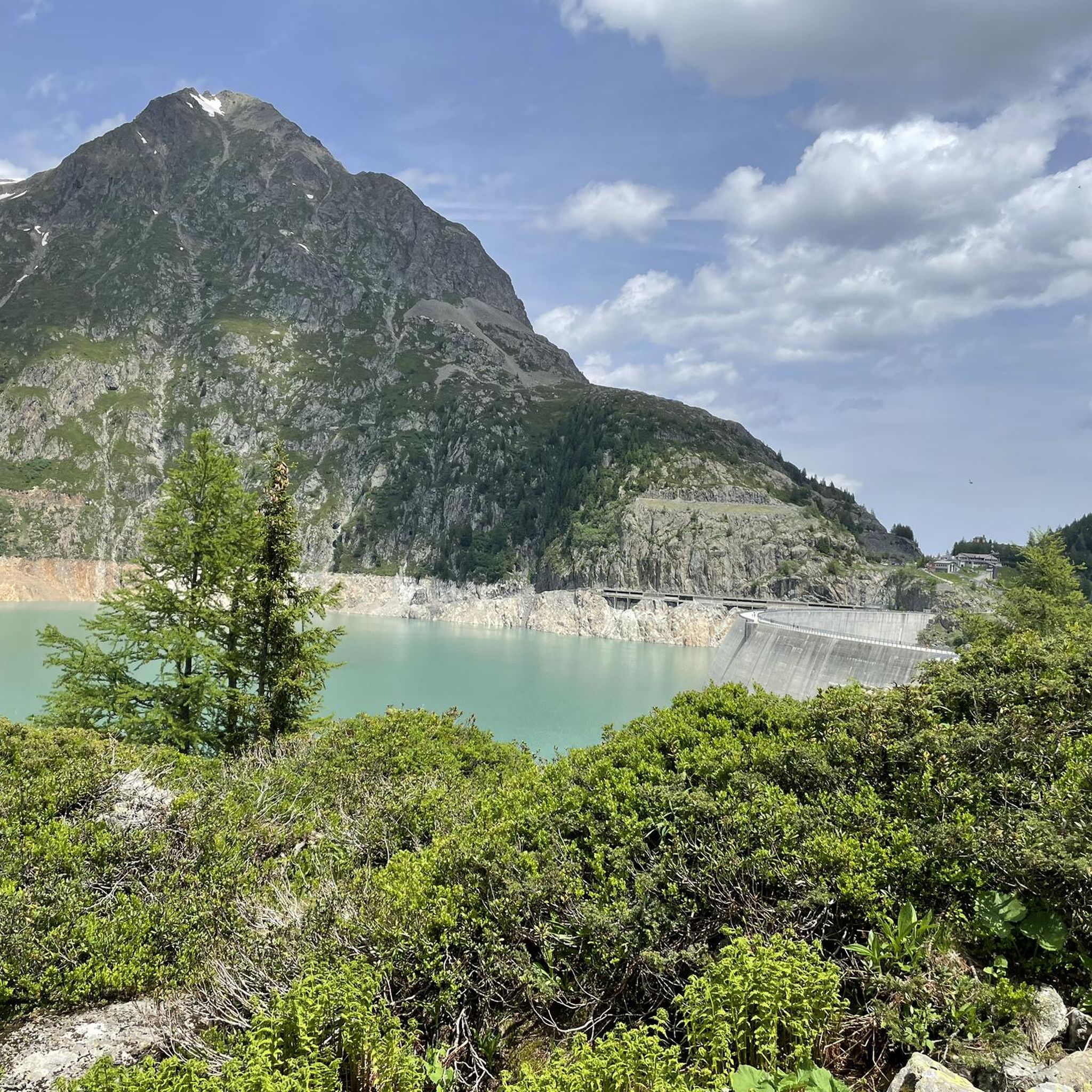
Hiking around Finhaut, nestled in Switzerland's Valais region, offers access to diverse alpine landscapes. The area is characterized by dramatic views of the Trient Glacier and valley, impressive high-altitude dams like Emosson and Vieux-Emosson, and rugged gorges. Hikers can explore trails that traverse steep ridges and lead to unique geological formations, with many routes providing panoramic vistas of the Mont-Blanc massif.
Best hiking trails around Finhaut
- The most popular hiking route is Loop of Lac de Vieux d'Emosson, a…
Last updated: September 26, 2026
4.7
(57)
713
hikers
12.4km
05:35
860m
860m
Hard hike. Very good fitness required. Mostly accessible paths. Sure-footedness required.
4.0
(2)
27
hikers
17.0km
08:09
1,340m
1,340m
This difficult 10.6-mile (17.0 km) high-alpine hike from Lac d'Emosson offers panoramic views and crosses the Cols of Barberine and Fenestra

4.5
(2)
9
hikers
15.9km
07:55
1,300m
1,300m
Hard hike. Very good fitness required. Sure-footedness, sturdy shoes and alpine experience required.
4.7
(59)
703
hikers
9.72km
03:36
500m
480m
Hard hike. Good fitness required. Sure-footedness, sturdy shoes and alpine experience required.
4.8
(13)
134
hikers
15.1km
06:57
980m
990m
Hard hike. Very good fitness required. Sure-footedness, sturdy shoes and alpine experience required.
Get access to more routes and recommendations from other explorers.
Already have an account?
Our route recommendations are based on thousands of hikes, rides, and runs completed by other people on komoot.
Start today with a free account
Your next adventure awaits.
Popular around Finhaut

Alpine Passes Trail – hiking 700km across Switzerland

Alpine Passes Trail in Switzerland – 34 stages of pure mountain fun
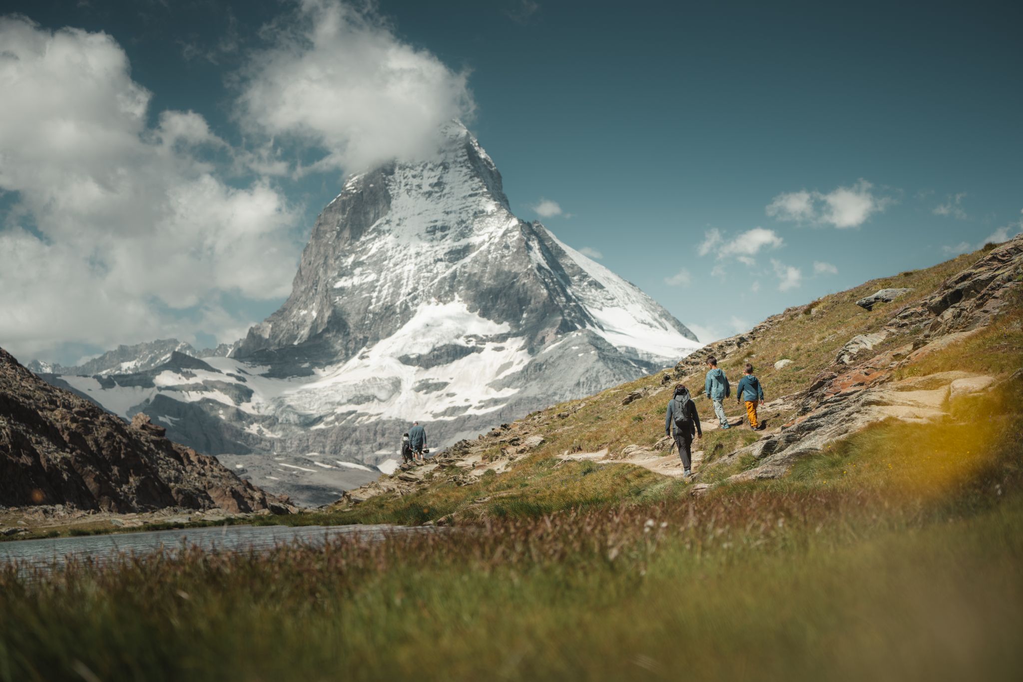
Grandiose glaciers and peaks – panoramic Tours in Switzerland’s Valais
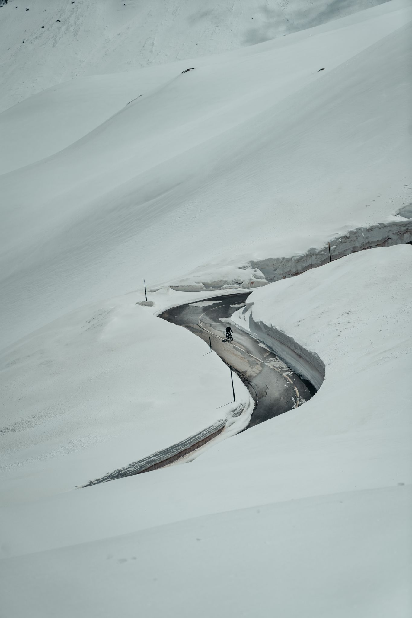
Finding the last bits of snow — early spring riding in the Alps
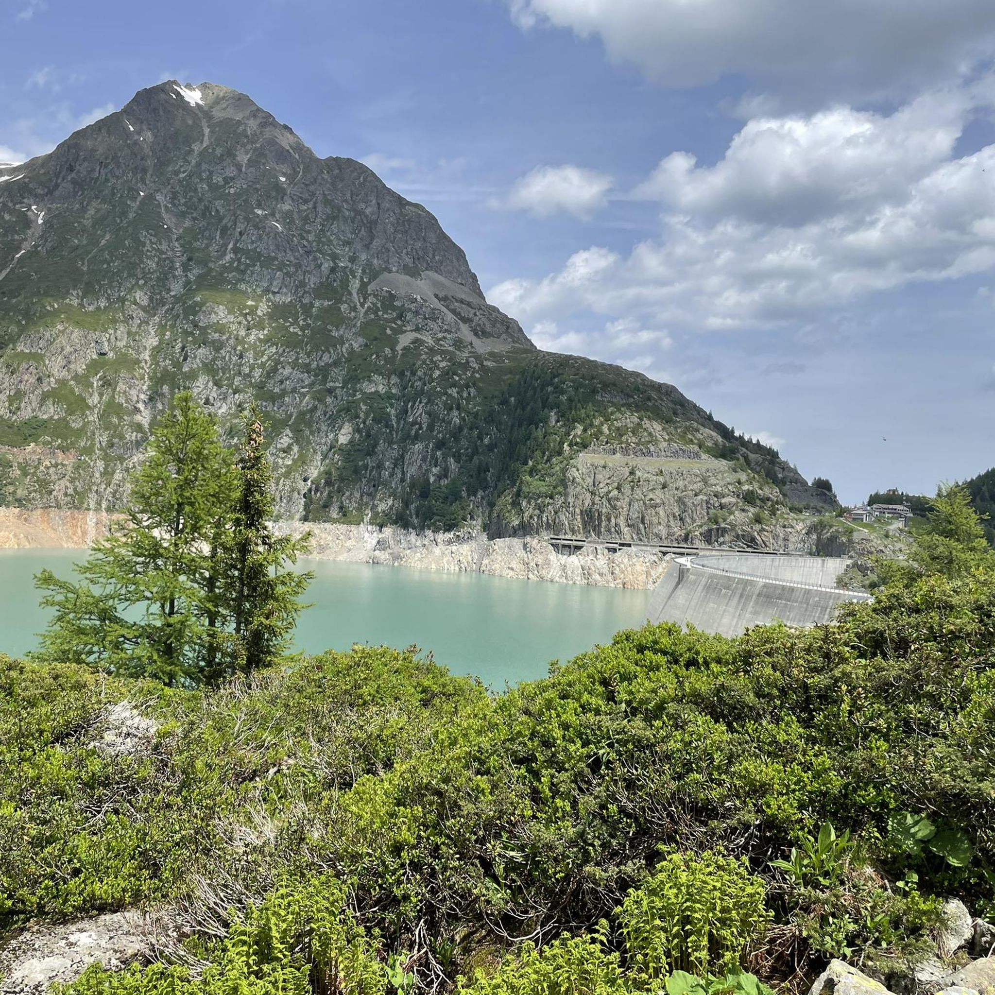
MTB Trails around Finhaut
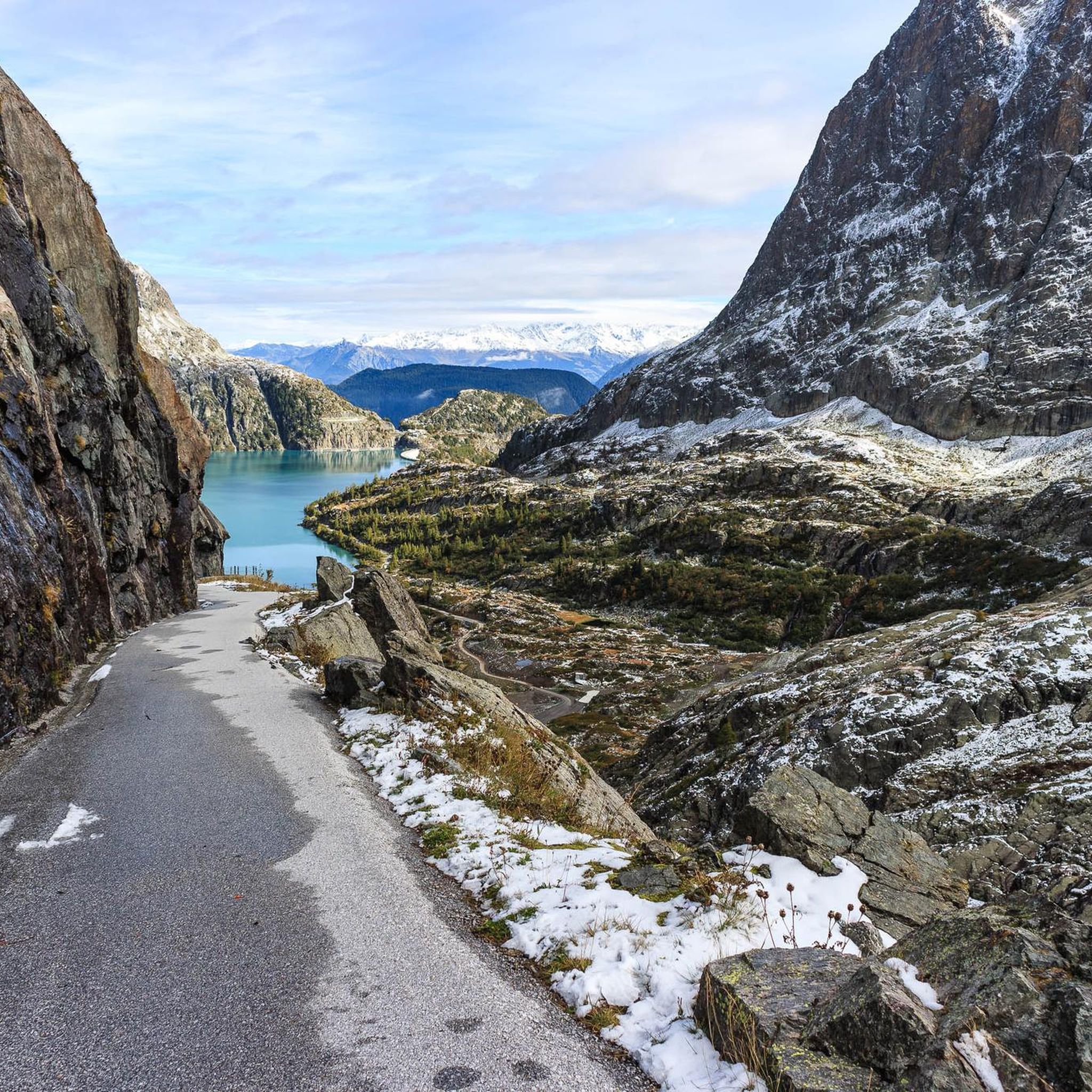
Running Trails around Finhaut
Cycling around Finhaut
Road Cycling Routes around Finhaut

Mountain Hikes around Finhaut
Gravel biking around Finhaut
Other adventures around Finhaut


Tips from the Community

I can now understand the hype around MB
0
0
Anyone who wants to feel the Canada vibes will find them here
0
0

Very pleasant hike with beautiful mountains
0
0

Culminating at an altitude of 2,321 metres, it marks, with the nearby Col de Balme, the bottom of the Chamonix valley to the southwest and rises above Vallorcine to the northwest. Boundary marker no. 3 marks the border which here forms a right angle between the Col de Balme to the southeast and the Plan des Reines to the southwest. The sources of the Arve are located on the sunny side of the mountain, just below the summit. On its shady side is Lake Catogne.
0
0

Less brightly colored than its big brother on the lower floor, it is nevertheless interesting and the path that goes up to it (alternative to the road) is absolutely magnificent.
0
0


Just two small tunnels for special cars, bikes or pedestrians
0
0
Frequently Asked Questions
How many hiking trails are available around Finhaut?
Finhaut offers a diverse range of hiking experiences with over 25 trails. These include 2 easy routes, 10 moderate routes, and 14 difficult routes, catering to various skill levels.
What are the key natural attractions to see while hiking in Finhaut?
Finhaut is rich in natural beauty. You can explore the dramatic Trient Glacier and valley, the impressive Emosson and Vieux-Emosson dams, and the mysterious Tête Noire Gorges. Don't miss the globally significant dinosaur footprints near Vieux-Emosson lake, typically visible from mid-July. Hikers are also treated to breathtaking panoramic views of the Mont-Blanc massif from many trails.
Are there any circular hiking routes in Finhaut?
Yes, Finhaut features several excellent circular routes. A popular choice is the Loop of Lac de Vieux d'Emosson, a challenging 12.4 km trail that circles the high-altitude lake. Another option is the Vieux Emosson Lake – Lac d'Émosson loop from Lac d'Émosson, offering continuous scenic views.
What kind of views can I expect on the trails around Finhaut?
Hikers in Finhaut are consistently rewarded with spectacular alpine vistas. Many routes offer privileged views of the iconic Mont-Blanc massif, the Trient Glacier, and the vast Trient valley. The high-altitude dams, Emosson and Vieux-Emosson, also provide stunning backdrops and panoramic outlooks.
Are there any waterfalls accessible on hikes in Finhaut?
Yes, the region around Finhaut features beautiful waterfalls. You might encounter the Bérard Waterfall or the impressive Rouget Waterfall, which are notable natural monuments in the area.
What do other hikers say about the trails in Finhaut?
The hiking trails in Finhaut are highly regarded by the komoot community, with an average rating of 4.6 stars from over 550 reviews. More than 6,000 hikers have explored the varied terrain, often praising the stunning alpine landscapes, the dramatic glacier views, and the unique experience of hiking near the high-altitude dams.
Are there any easy hiking options for beginners or families in Finhaut?
While Finhaut is known for its challenging alpine treks, there are 2 easy routes available. These provide a gentler introduction to the region's beauty, suitable for beginners or families looking for less strenuous walks. Additionally, there are 10 moderate trails that offer a good balance of challenge and accessibility.
How can I reach the hiking trailheads in Finhaut using public transport?
Finhaut is conveniently located on the Mont-Blanc Express railway line, making it accessible by public transport. This allows visitors to reach various trailheads without needing a car, integrating well with the region's focus on sustainable travel.
What are some notable landmarks or points of interest near Finhaut's hiking routes?
Beyond the natural features, you can find several interesting points. The Col de Balme is a significant mountain pass, and the Refuge du Col de Balme offers a place for rest. You can also discover beautiful lakes like Lac de Salanfe, Lac Blanc, and Lacs des Chéserys.
Are there any long-distance hiking trails that pass through Finhaut?
Yes, Finhaut is part of larger, extensive routes. It serves as a segment of both the Alpine Pass Route and the HexaTrek, appealing to hikers seeking multi-day adventures and exploring a broader region of the Swiss Alps.
What is the typical duration for a moderate or difficult hike in Finhaut?
The duration varies depending on the trail's difficulty and length. For instance, a difficult route like the Loop of the Cols of Barberine and Fenestral from Lac d'Emosson, spanning 17.0 km, typically takes around 8 hours and 10 minutes. A moderate hike, such as the Lake Émosson and Émosson Dam – Bel Oiseau Summit loop from Lac d'Émosson (10.3 km), can be completed in about 4 hours and 48 minutes.
Most popular routes around Finhaut
Most popular attractions around Finhaut

Get inspired with the komoot mobile app


Explore more
Browse the best Hikes in other regions.
