The best road cycling routes around Sumas
4.5
(4)
162
riders
5
rides
Road cycling routes around Sumas offer a diverse range of experiences, blending challenging ascents with scenic rides through agricultural lands. The region is characterized by the expansive Fraser Valley, views of Mount Baker, and the varied terrain of Sumas Mountain Regional Park. Cyclists can navigate well-paved surfaces, quiet country roads, and historic pathways, encountering varying elevation gains across the landscape.
Best road cycling routes around Sumas
- The most popular road cycling route is Roadbike loop from Irene Kelleher Totí:ltawtxw Elementary…
Last updated: September 29, 2026
5.0
(3)
41
riders
45.7km
01:55
280m
280m
Easy road ride. Great for any fitness level. Mostly well-paved surfaces and easy to ride.
21
riders
Moderate road ride. Good fitness required. Some segments of this route may be unpaved and difficult to ride.

10
riders
Moderate road ride. Good fitness required. Mostly well-paved surfaces and easy to ride.
2
riders
32.6km
01:30
340m
340m
Moderate road ride. Good fitness required. Mostly well-paved surfaces and easy to ride.
4.0
(1)
3
riders
47.7km
02:06
420m
420m
Moderate road ride. Good fitness required. Mostly well-paved surfaces and easy to ride.
Our route recommendations are based on thousands of hikes, rides, and runs completed by other people on komoot.
Start today with a free account
Your next adventure awaits.
Popular around Sumas
Tips from the Community

This small community park is surrounded by residential neighbourhoods with lots of open grassy areas and mature trees, perfect for a picnic on the lawn. The park includes a large figure-8 paved walkway with a few scattered benches, and is a local favourite spot for walkers, runners and cyclists to enjoy spending time outdoors away from the high traffic in this area. There are no washrooms here, but it’s a lovely place for a short walk or a break if you are hiking on one of the nearby trails.
0
0
Discovery Trail is a lovely multi-use route that stretches across Abbotsford, connecting parks, neighbourhoods, schools, and natural areas through the heart of the city. This paved trail is mostly flat and follows a mix of urban greenspace and creekside corridors, making it popular for walking, running, and cycling. Along the way, you’ll pass public art, viewpoints, wetlands, and forested sections, making this an ideal route to experience a little bit of everything that Abbotsford’s natural and cultural landscapes have to offer.
0
0

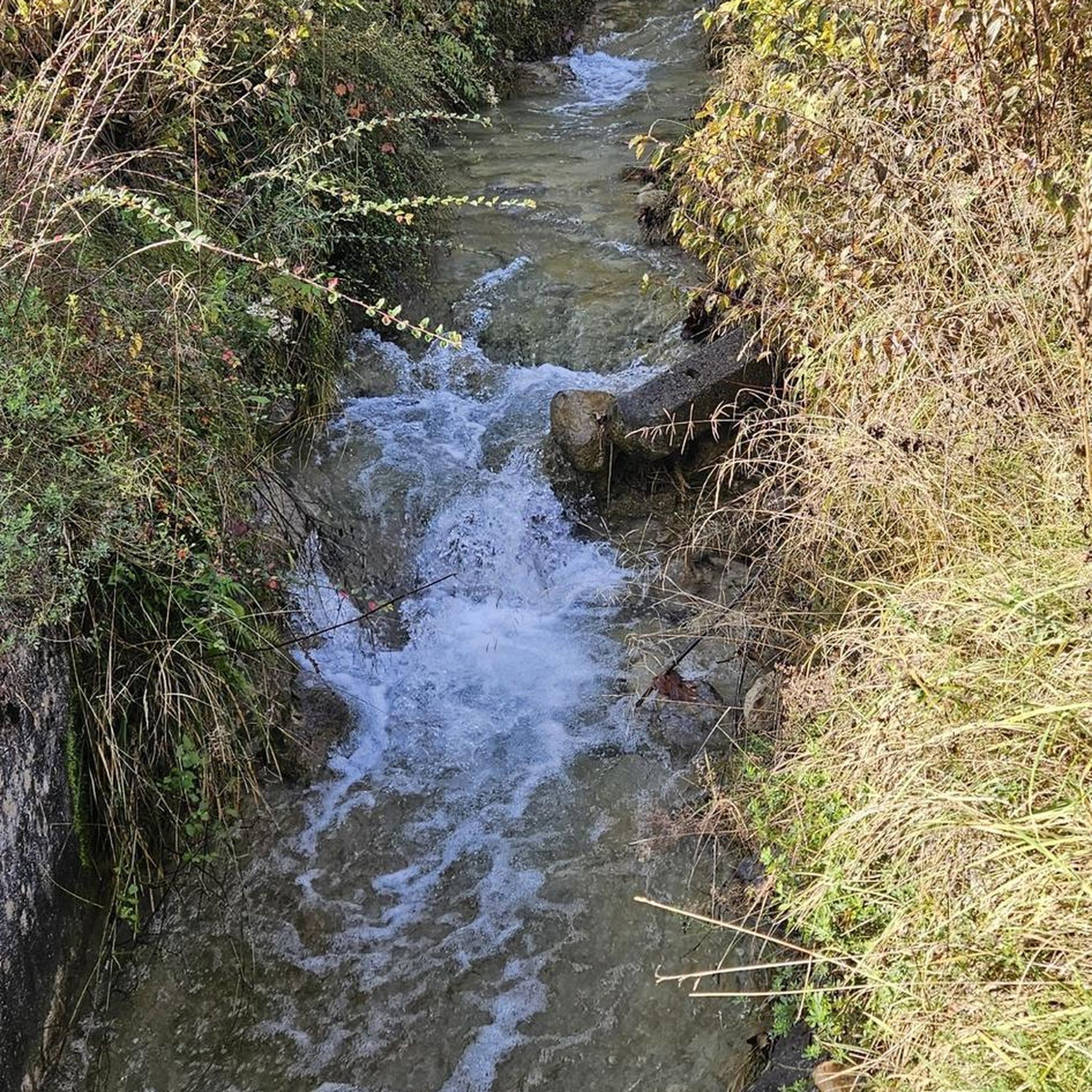
Clayburn Creek Park is a thickly forested area, full of western red cedar, western hemlock, and bigleaf maple trees. The area gets its name from the history of the Clayburn Brick Factory, whose bricks can still be seen in some old buildings today. The Clayburn Creek Trail, which is open to hiking and biking, was once the path used by the railway for delivering and transporting bricks from the factory.
0
0
Straiton Road is the western end of the Clayburn Creek Trail. It's not an ideal starting place, though there are 2-3 unoffical spots for cars, the better starting place for an adventure on the Clayburn Creek Trail is at its eastern end on Blauson Boulevard, where just a few yards north of the trailhead is official street parking.
0
0

Birchwood Dairy is a popular resupply and rest point, selling ice cream and cold drinks. Washrooms are open to the public. There are picnic tables and a playground for young children.
1
0

Abbotsford Exhibition Park offers 148 acres of green space perfect for walking a loop, enjoying a picnic, or playing a game on one of the sports fields. With a network of nicely paved and unpaved paths winding through woodlands, open fields, and a duck‑filled pond, it’s a relaxed stop for a gentle stroll or a break during a longer walk. Be aware that occasional events may close sections of the park, so check the schedule if you’re passing through.
0
0
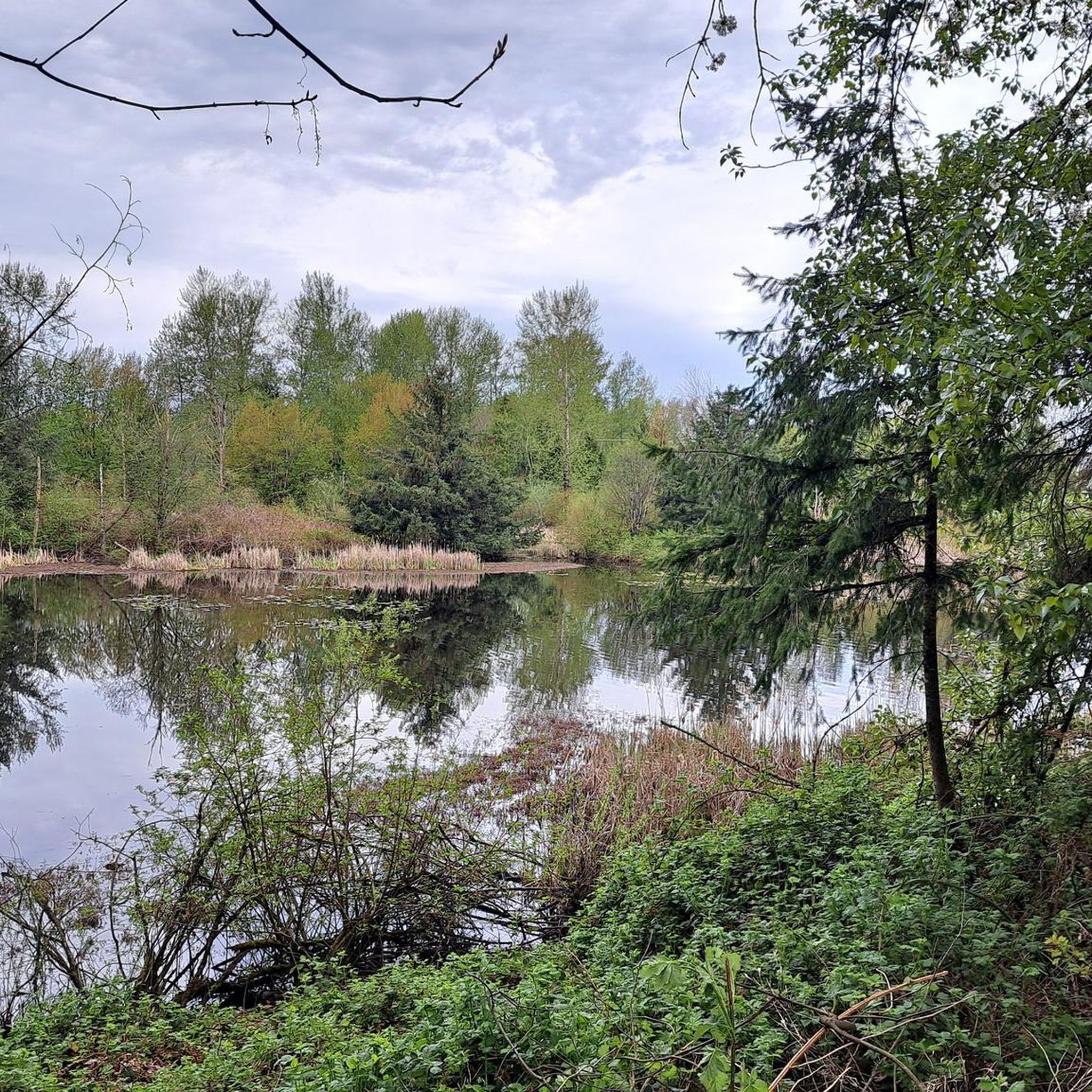
The Discovery Trail in Abbotsford offers a scenic pathway featuring a couple of small lakes, boardwalk sections, and paved paths suitable for walking or cycling. Stay alert and courteous to other trail users, including cyclists and dogs.
0
0
Frequently Asked Questions
What kind of terrain can I expect on road cycling routes in Sumas?
Sumas offers a diverse range of road cycling terrain. You'll find well-paved surfaces, quiet country roads, and some historical pathways that may include gravel sections, particularly on routes like the Sumas Lake Loop. The landscape varies from challenging mountain ascents in areas like Sumas Mountain Regional Park to leisurely, flatter rides through agricultural lands and along dykes.
Are there challenging road cycling routes with significant elevation gain in Sumas?
Yes, Sumas provides routes with varying elevation gains, including more challenging options. For instance, the Roadbike loop from Sandy Hill Road at Sandy Hill Place (NB) is a moderate 40.0-mile (64.5 km) path with over 600 meters of elevation gain, offering panoramic views of the Fraser Valley and Mount Baker.
Are there easy road cycling routes suitable for beginners in Sumas?
Absolutely. Sumas has options for all skill levels. An easy route suitable for beginners is the Roadbike loop from Irene Kelleher Totí:ltawtxw Elementary School, which is 28.1 miles (45.3 km) long and offers a leisurely ride through quiet country roads with minimal elevation gain.
What natural features and landmarks can I see while road cycling in Sumas?
Road cycling in Sumas offers views of the expansive Fraser Valley and the majestic Mount Baker. Routes like the Sumas Dyke Trail provide picturesque views of Taggart Peak, Vedder Mountain, and the Cheam Mountain Range, alongside pastoral scenery of dairy farms and berry fields. You can also explore the area that was once Semá:th Xo:tsa (Sumas Lake). Nearby attractions include Fishtrap Creek Park and Mill Lake Park.
Are there specific viewpoints along the road cycling routes in Sumas?
Many routes, especially those in Sumas Mountain Regional Park, offer panoramic views of the Fraser Valley and Mount Baker. The Sumas Dyke Trail provides excellent vantage points for Taggart Peak, Vedder Mountain, and the Cheam Mountain Range. For a dedicated viewpoint, consider visiting Lions Point, which is accessible from some routes.
Can I find circular road cycling routes in Sumas?
Yes, many road cycling routes in Sumas are designed as loops, allowing you to start and end at the same point. Examples include the Kendall Lake – Silver Lake loop from Irene Kelleher Totí:ltawtxw Elementary School and the Discovery Trail – Abbotsford Exhibition Park loop from Abbotsford.
What is the best time of year for road cycling in Sumas?
The region is generally pleasant for cycling from spring through fall. The Discovery Trail, for example, is particularly vibrant in the fall, offering beautiful views of the Abbotsford countryside. Always check local weather conditions before heading out, as conditions can vary.
Is there parking available near road cycling trailheads in Sumas?
While specific parking lots for every trailhead are not always signposted, many routes start from locations like schools or parks where public parking may be available. For routes originating in Abbotsford, such as the Discovery Trail – Abbotsford Exhibition Park loop, parking can often be found near Abbotsford Exhibition Park or other public facilities.
Are there long-distance road cycling options connecting to broader networks from Sumas?
Yes, Sumas is part of the extensive US Bicycle Route 187, which connects south from the Canadian border through Nooksack and downtown Bellingham. This offers opportunities for longer-distance road cycling adventures and connections to broader regional networks for those looking to extend their ride.
Are there family-friendly road cycling routes in Sumas?
For families, flatter and well-paved routes are ideal. The Sumas Dyke Trail offers an easy ride through the flat Sumas Prairie, linking with other trails and providing scenic views without significant elevation. The Discovery Trail, originating in nearby Abbotsford, is also a paved greenway suitable for families.
What do other road cyclists enjoy the most about road cycling in Sumas?
The komoot community frequently praises the diverse landscapes and varied terrain for road cycling in Sumas. Cyclists often highlight the panoramic views of the Fraser Valley and Mount Baker, the quiet country roads through agricultural lands, and the blend of challenging climbs with leisurely, scenic rides. The region's natural beauty and the options for different fitness levels are consistently appreciated.
Are there cafes or places to stop for refreshments near road cycling routes in Sumas?
Yes, particularly in the Matsqui Prairie area, you can find local attractions like the Clayburn Village Store, known for its scones, which makes for a pleasant stop during a ride. Additionally, routes that pass through or near towns like Abbotsford will offer various cafes and eateries.
How many road cycling routes are available around Sumas?
There are several road cycling routes available around Sumas, with komoot featuring 6 distinct routes in this guide. These range from easy to moderate difficulty, catering to various preferences and fitness levels.
Most popular routes around Sumas
Most popular attractions around Sumas

Get inspired with the komoot mobile app


Explore more
Browse the best Road cycling routes in other regions.
