The 20 Most Amazing Peaks around Oberneukirchen
Best mountain peaks around Oberneukirchen are found within the scenic Mühlviertel region of Upper Austria. This area is characterized by rolling hills and granite highlands, with an average elevation of 721 meters above sea level. While Oberneukirchen itself features a hilly landscape, it serves as a starting point for exploring more prominent elevated viewpoints and summits in the broader surroundings. The region offers a variety of hiking trails through forests and meadows, leading to natural attractions and historical sites.
Best…
Last updated: October 11, 2026
Sternstein Observation Tower
Highlight • Viewpoint
Translated by Google •
Tip by

Koglerauer Spitz
Highlight • Summit
Translated by Google •
Tip by

Sign up now to discover places like this
Get recommendations on the best single tracks, peaks, & plenty of other exciting outdoor places.
Waxenberg Castle Ruins
Highlight • Castle
Translated by Google •
Tip by

Gisela Tower and Gisela Cross on Lichtenberg
Highlight • Viewpoint
Translated by Google •
Tip by

Pipieterkogel
Highlight • Summit
Translated by Google •
Tip by

Sign up for free to discover even more peaks around Oberneukirchen.
Already have an account?
Start today with a free account
Your next adventure awaits.
Popular around Oberneukirchen
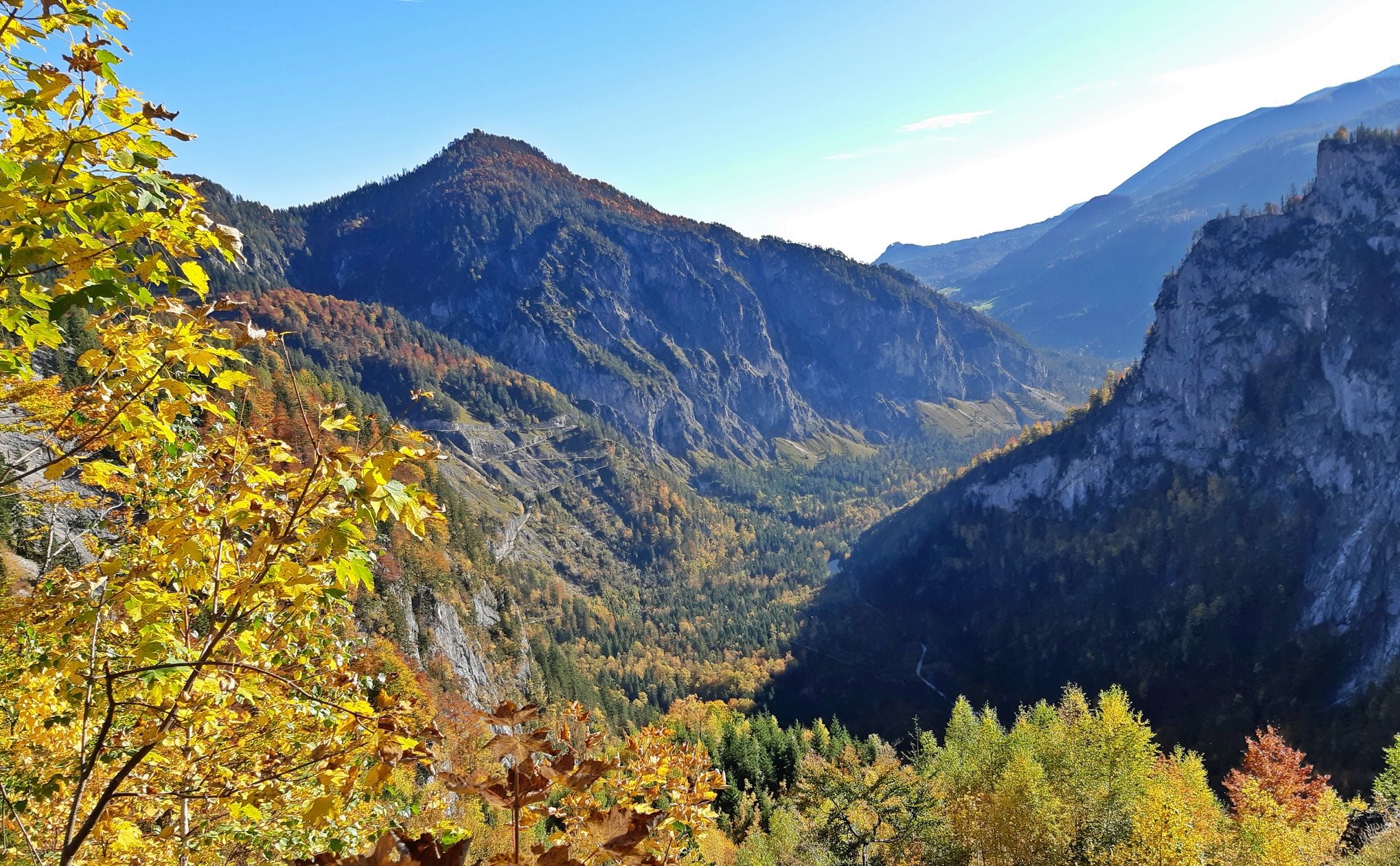
Salt Trail — On old paths through Upper Austria
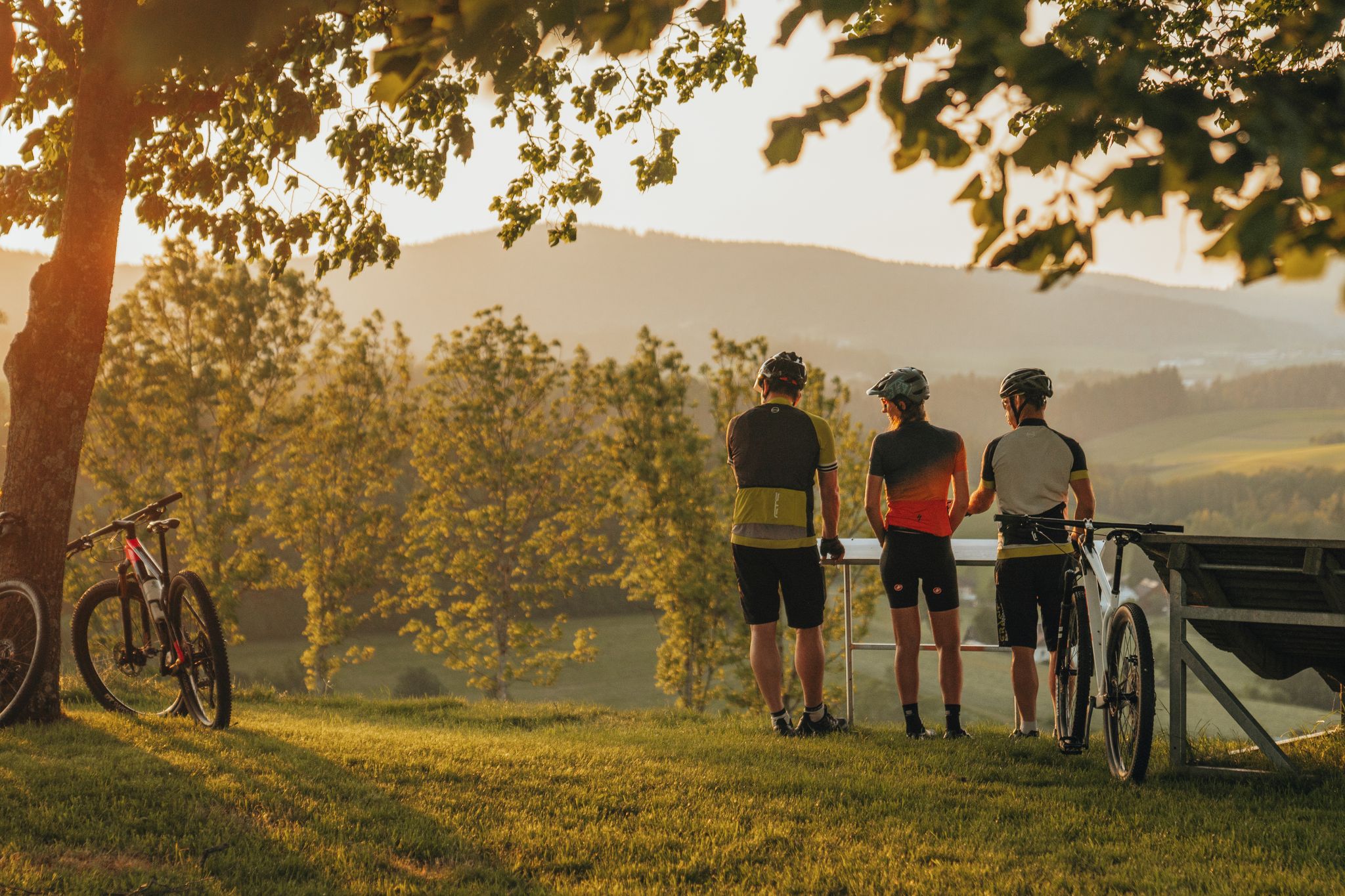
Biken auf der Grande Granit-Runde
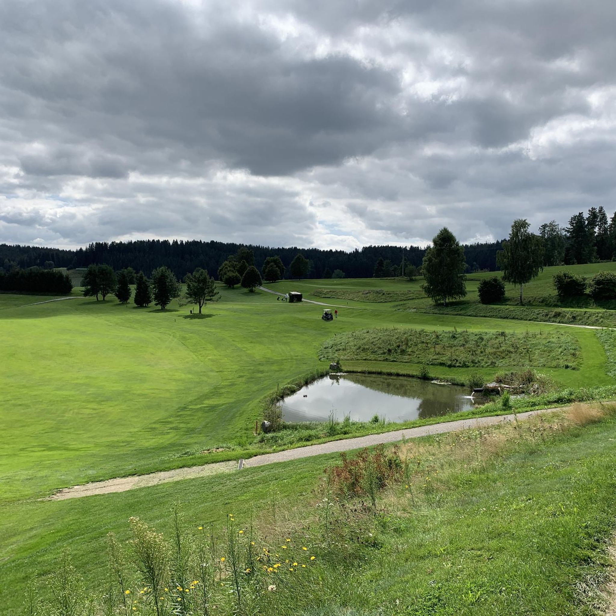
Hiking around Oberneukirchen
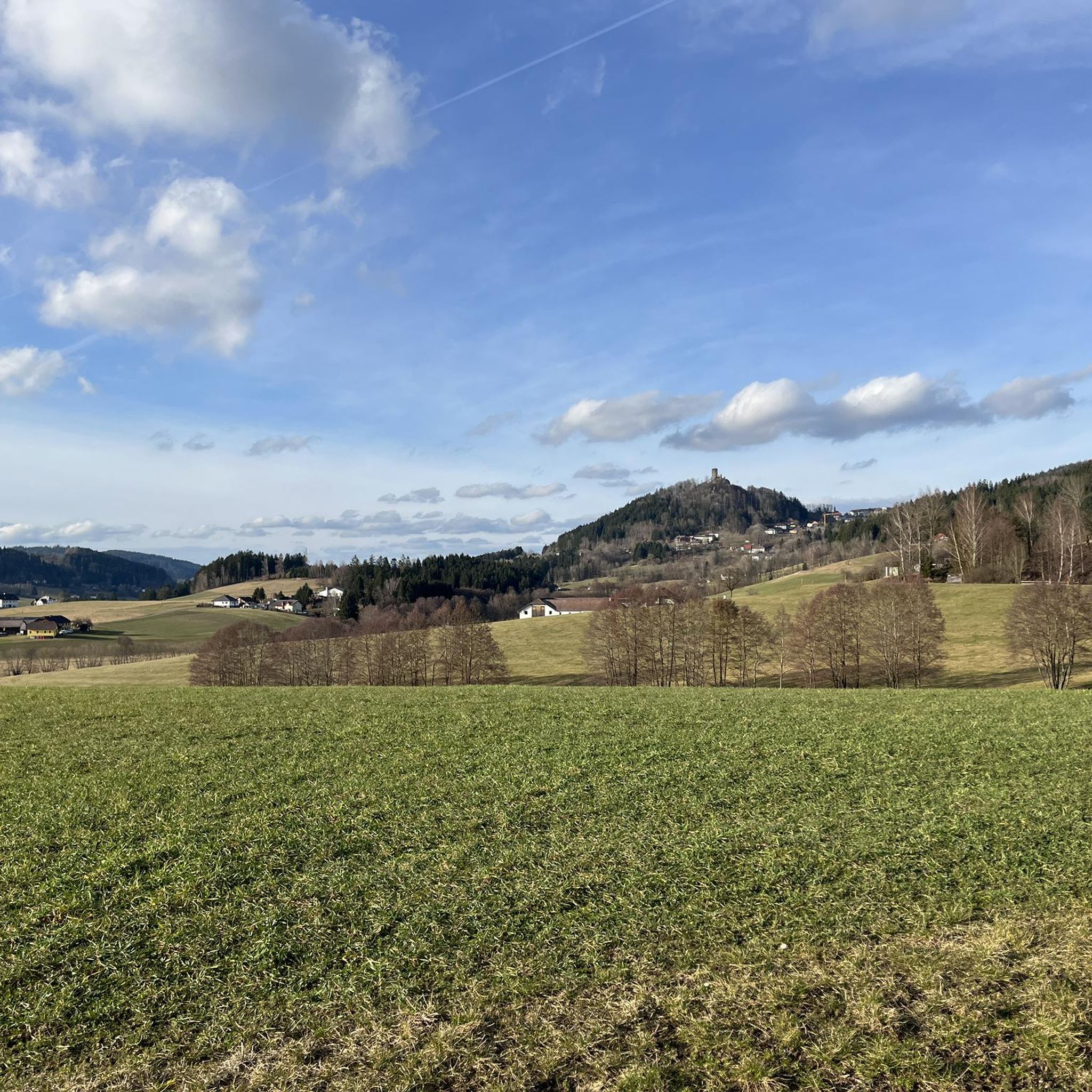
Cycling around Oberneukirchen
MTB Trails around Oberneukirchen
Road Cycling Routes around Oberneukirchen
Running Trails around Oberneukirchen
Gravel biking around Oberneukirchen
Mountain Hikes around Oberneukirchen


Tips from the Community

Giselawarte was built in 1856 and named after Princess Gisela, a daughter of Emperor Franz Joseph. In 1960, it was increased by two stories.
4
0


Cross at the Gisela Tower
6
0

To get there, the southern and northern junctions from Höllmühlstrasse are recommended. The middle one (after the last house) can be very overgrown at the top.
0
1

The Koglerauer Spitz is a 685 meter high mountain. The view, especially of the Danube, is not that fantastic due to the tall trees. But the path from Pöstlingberg with the Alpine panorama is really great.
9
0

The Sternstein is 1125 m high and is located in the municipality of Vorderweißenbach. It is the highest elevation in the central Mühlviertel. The Sternsteinwarte, built in 1899, invites you to take a panoramic view from Bohemia to the Alps.
4
0

Many paths lead to the Sternstein.
3
0

First you pass the Hunger Tower, which you can also visit from the inside.
1
2
Frequently Asked Questions
What are the most prominent elevated viewpoints and peaks in the broader Mühlviertel region around Oberneukirchen?
While Oberneukirchen itself is characterized by rolling hills, the broader Mühlviertel region offers several notable elevated viewpoints. These include Koglerauer Spitz, a 685-meter high summit offering distant views of the Alps on clear days. Further afield, you'll find the Sternstein Observation Tower, which provides expansive panoramic views from the Böhmerland to the northern limestone Alps. Other significant peaks in the region include Plöckenstein (1,379 meters), Hochficht (1,338 meters), and Bärenstein (1,077 meters), all offering rewarding experiences for hikers.
Are there historical sites or cultural landmarks among the peaks and viewpoints near Oberneukirchen?
Yes, the region combines natural beauty with historical significance. The Sternstein Observation Tower, also known as the "Kaiser Franz Joseph Jubiläumswarte," is a historical site built in 1898/99. Additionally, the Waxenberg Castle Ruins offer a glimpse into the past, providing a well-maintained area for rest and panoramic views over the Mühlviertel from its tower.
What kind of views can I expect from the mountain peaks and viewpoints in the Oberneukirchen area?
The viewpoints around Oberneukirchen offer diverse and often expansive views. From Sternstein Observation Tower, you can see from the Böhmerland to Schöninger, and on exceptionally clear days, even the northern limestone Alps. Koglerauer Spitz provides distant views of the Alps. From the Waxenberg Castle Ruins, you'll enjoy a wonderful view over the Mühlviertel and beyond. The Bärenstein, another regional peak, offers views that can extend as far south as the Alps on clear days.
Are there family-friendly hiking options around Oberneukirchen's peaks?
Yes, the rolling hills and scenic landscapes of the Mühlviertel region provide many opportunities for family-friendly walks. While specific 'family-friendly' categories aren't listed for all highlights, the general terrain around Oberneukirchen, characterized by forests and meadows, is suitable for various skill levels. Many routes, like the 'Sternstein loop from Sternstein' found in the Mountain Hikes around Oberneukirchen guide, are rated as easy, making them accessible for families.
What outdoor activities can I do near these mountain peaks?
The region around Oberneukirchen is excellent for various outdoor activities. You can enjoy mountain hiking, with routes like the 'Sternstein loop' or the 'Waxenberg Castle Ruins – St. Veit Church in Mühlkreis loop' detailed in the Mountain Hikes around Oberneukirchen guide. Cycling is also popular, with challenging routes such as the 'Bad Leonfelden Market Square – View of Bad Leonfelden loop' available in the Cycling around Oberneukirchen guide. For mountain biking enthusiasts, there are trails like the '1000-Meter Spot – Forest tavern at the Sternstein loop' in the MTB Trails around Oberneukirchen guide.
What is the best time to visit the mountain peaks and viewpoints near Oberneukirchen?
The best time to visit largely depends on your preferred activity. For hiking and enjoying panoramic views, spring through autumn (April to October) generally offers pleasant weather. However, it's important to note that the control room of the Sternstein Observation Tower is closed from November to March for safety reasons. Winter can offer unique experiences, but some areas might require specific gear or be inaccessible.
Are there any hidden gems or less-known viewpoints worth exploring?
While not a 'hidden gem' in the traditional sense, the Pipieterkogel is described as a small, lonely forest summit off the main route, offering a unique summit experience. It's also notable as the highest elevation in the city of Linz, providing a different perspective of the urban landscape amidst nature.
What are the typical difficulty levels for hiking trails around Oberneukirchen's peaks?
Hiking trails in the Oberneukirchen area and the broader Mühlviertel region range from easy to moderate. For instance, the 'Sternstein loop from Sternstein' is rated as easy, while routes like the 'Waxenberg Castle Ruins – St. Veit Church in Mühlkreis loop' are moderate. Some paths, particularly on peaks like Bärenstein, may require sure-footedness. Always check the specific route details for difficulty before heading out.
Can I find cafes or pubs near the hiking trails in the Oberneukirchen area?
While specific cafes or pubs directly adjacent to every trail are not detailed, the region is well-equipped with amenities in its towns and villages. For example, the 'Zur Gis Inn – Giselawarte loop from Lichtenberg' suggests a starting point near an inn. You can often find places to refresh and refuel in Oberneukirchen itself or in nearby communities like Bad Leonfelden, which features in several cycling routes.
What natural features, beyond just peaks, can I discover in the Oberneukirchen region?
The region is characterized by its granite highlands, rolling hills, forests, and meadows. Beyond the specific summits, you'll encounter diverse natural landscapes. The Koglerauer Spitz, for example, is nestled within a forest. The broader Mühlviertel offers a wealth of hiking trails through these natural settings, providing opportunities to experience the local flora and fauna.
How accessible are the mountain peaks and viewpoints by public transport or car parking?
While specific details on public transport access to every single peak are not provided, Oberneukirchen itself is a municipality in Upper Austria, suggesting general regional accessibility. For those traveling by car, parking is typically available at trailheads or in nearby villages. For instance, routes often start from specific locations like 'Sternstein' or 'Lichtenberg', implying parking facilities are present there.
What do visitors appreciate most about the mountain peaks and viewpoints around Oberneukirchen?
Visitors highly value the stunning panoramic views, especially from spots like the Sternstein Observation Tower, which offers vistas stretching to the Alps. The opportunity for a 'summit experience close to the city' is also frequently mentioned, particularly for places like Koglerauer Spitz. The well-maintained historical sites, such as the Waxenberg Castle Ruins, also provide a cherished spot for rest and scenic appreciation.
Most popular routes around Oberneukirchen
Most popular attractions around Oberneukirchen

Get inspired with the komoot mobile app


Explore more
See even more amazing summits around Oberneukirchen with these guides:
