The best gravel rides around Oberneukirchen
4.7
(22)
136
riders
23
rides
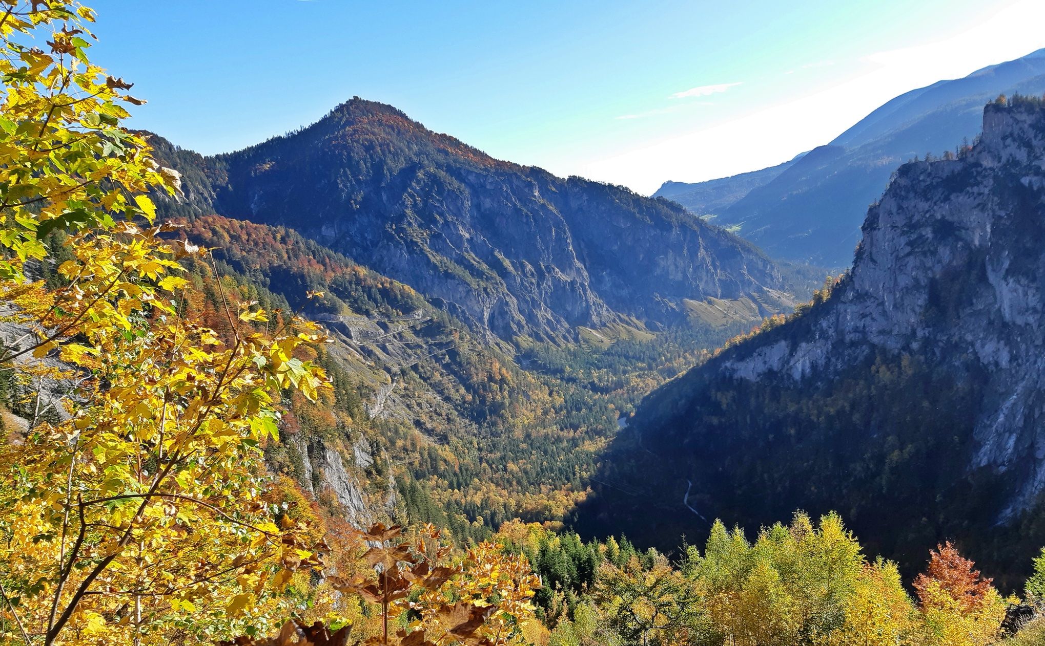
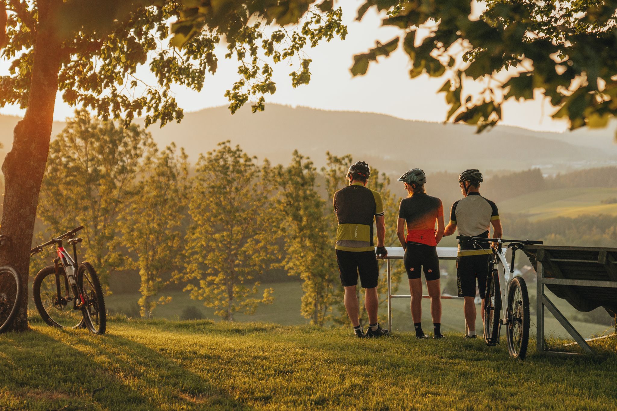
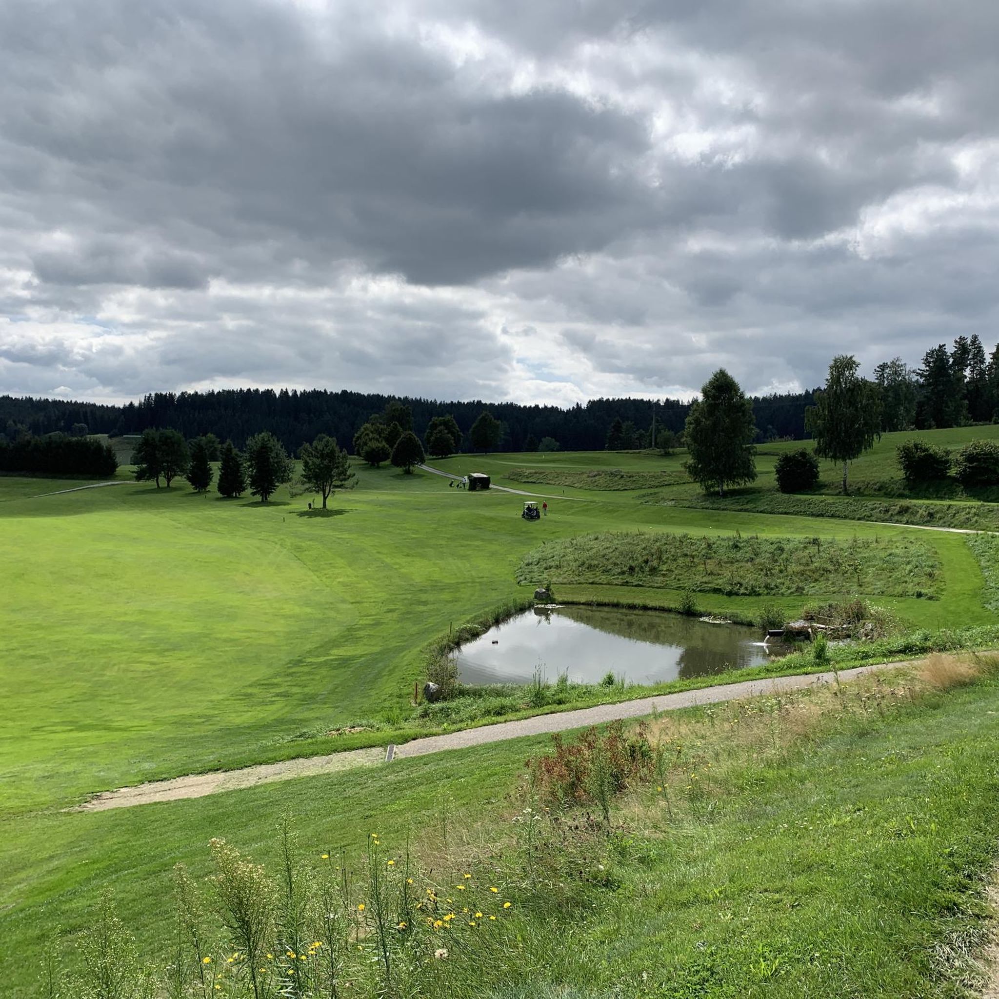
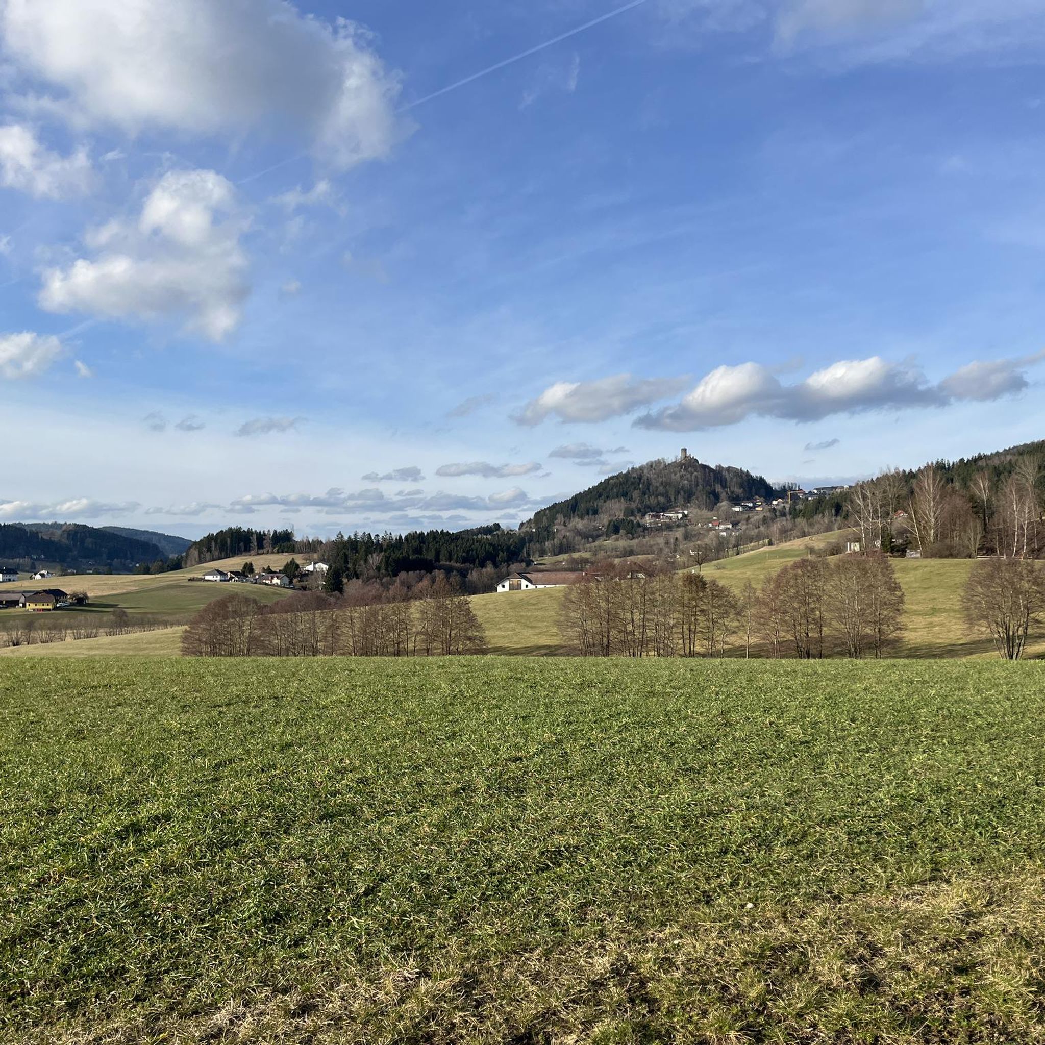
Gravel bike trails around Oberneukirchen offer a diverse and scenic landscape for outdoor exploration. The region in Upper Austria is characterized by rolling hills, dense forests, and verdant meadows, providing varied terrain for gravel biking. Routes often feature a mix of paved and unpaved segments, with options ranging from moderate to challenging expeditions that include significant elevation gains. This area is part of a larger network known for its extensive cycling infrastructure, making it well-suited for gravel biking enthusiasts.
Best…
Last updated: November 3, 2026
3.8
(6)
40
riders
Hard gravel ride. Very good fitness required. Mostly paved surfaces.
4.0
(7)
34
riders
54.4km
03:29
810m
810m
Hard gravel ride. Very good fitness required. Mostly paved surfaces.

5.0
(1)
7
riders
25.5km
01:51
440m
440m
Moderate gravel ride. Good fitness required. Mostly paved surfaces.
5.0
(2)
14
riders
34.2km
02:20
630m
630m
Hard gravel ride. Very good fitness required. Mostly paved surfaces.
4.8
(4)
5
riders
Hard gravel ride. Very good fitness required. Mostly paved surfaces.
Get access to more routes and recommendations from other explorers.
Already have an account?
Our route recommendations are based on thousands of hikes, rides, and runs completed by other people on komoot.
Start today with a free account
Your next adventure awaits.
Popular around Oberneukirchen


Tips from the Community

There is also a small rest area here, the easily rideable path then runs above the railway again, better to only hike down here.
0
0

Regarding the photo with the brick construction - taken on the tour: 2026.04.23. NORTH ROUND AROUND GUSENTAL from GALLNEUKIRCHEN https://www.komoot.com/de-de/tour/2904467273 : When I look at the highlight photo in the old stone construction style, my heart aches. So much toil to build it with the means and possibilities of those times.... and now.... a piece of the beautiful village scenery has been lost forever!!! Having to live in such old walls is the other side... which also comes with many disadvantages. Approving and building a new building a little way off would have been the much better solution in my opinion. More photos from the village: OTTENSCHLAG – The Village - various views https://www.komoot.com/de-de/highlight/8342245
0
0

Very nice tour for all Ebikes !!!!
0
0

Beautiful bike path, beautiful view.
0
0
Beautiful cycle path and Vltava
0
0
Beautiful new cycle path along the Vltava
1
0

According to historical plaques, the ramparts were used three times: during the Thirty Years' War, during the wars against the Turks, and during an outbreak of the plague.
1
0

It points to a geological condition whereby the Rodl flows into the Danube and this in turn into the Black Sea, while on the other hand the Granitzbach flows into the Vltava, Elbe and North Sea.
6
0
Frequently Asked Questions
How many gravel bike trails are available around Oberneukirchen?
There are over 40 gravel bike trails in the Oberneukirchen region, offering a wide range of options for exploration. These routes vary in difficulty, catering to different fitness levels and preferences.
What kind of terrain can I expect on the gravel bike trails in Oberneukirchen?
The terrain around Oberneukirchen is characterized by rolling hills, dense forests, and verdant meadows. You'll encounter a mix of paved and unpaved segments, providing a true gravel biking experience with constantly changing and visually appealing environments.
Are there any easy or moderate gravel bike trails for beginners in Oberneukirchen?
While many routes in Oberneukirchen are challenging, there are several moderate options suitable for those looking for a less strenuous ride. For example, the Rading Swedish Rampart – Rading Fish Ponds loop from Bad Leonfelden is a moderate trail that offers a great introduction to the region's gravel biking.
What are some notable landmarks or scenic viewpoints along the gravel bike routes?
Many routes offer access to stunning viewpoints and historic sites. You can find trails that pass near the historic Waxenberg Castle Ruins, which features a climbable keep. The region also boasts the Zur Gis Inn, a popular spot with picturesque views from its garden.
Are there any circular gravel bike routes in Oberneukirchen?
Yes, many of the gravel bike trails in Oberneukirchen are designed as circular routes, allowing you to start and end at the same point. An example is the challenging 1000-Meter Spot – Iron Curtain Memorial loop from přírodní památka Spáleniště, which navigates through the scenic border region.
What is the best time of year to go gravel biking in Oberneukirchen?
The diverse landscape of Oberneukirchen makes it suitable for gravel biking through much of the year. Spring and autumn offer pleasant temperatures and vibrant scenery, while summer provides longer daylight hours. Always check local weather conditions before heading out.
Are there family-friendly gravel biking options in the area?
While many routes feature significant elevation gains, some sections and shorter loops can be adapted for families with older children or those comfortable with varied terrain. Look for routes with less elevation and a smoother mix of surfaces.
Can I find places to eat or stay near the gravel bike trails?
Yes, the region offers several welcoming spots for refreshments and accommodation. Popular options include the Zur Gis Inn, Pelmbergstüberl, and Eidenberger Alm, which are often located conveniently near cycling routes.
What do other gravel bikers say about the trails in Oberneukirchen?
The gravel bike trails around Oberneukirchen are highly rated by the komoot community, with an average score of 4.8 stars from over 20 reviews. Riders frequently praise the varied terrain, the scenic beauty of the forests and meadows, and the challenging climbs that offer rewarding views.
Are there any challenging gravel bike routes for experienced riders?
Absolutely. Oberneukirchen is known for its challenging routes with significant elevation gains. The Ottenschlag Bathing Pond – Ottenschlag Landscape Pond loop from Bezirk Urfahr-Umgebung is a difficult trail leading through varied landscapes, perfect for experienced gravel bikers seeking a demanding ride.
Is it possible to combine gravel biking with other activities or sightseeing?
Yes, the region's rich natural and cultural landscape allows for easy combination of activities. You can plan your ride to include stops at historical sites like the Piberstein Castle or enjoy panoramic views from the Sternstein Observation Tower, which is accessible from various points in the area.
Are there any routes that offer a unique natural feature or geological interest?
Yes, the region is home to the fascinating European Watershed Monument Mühlviertel. This landmark signifies where the Rodl River flows towards the Black Sea and the Granitzbach flows towards the North Sea, offering a unique point of interest for those exploring the area.
Most popular routes around Oberneukirchen
Most popular attractions around Oberneukirchen

Get inspired with the komoot mobile app


Explore more
Browse the best Gravel rides in other regions.
