The best road cycling routes around South Weber
4.5
(46)
557
riders
33
rides
Road cycling routes around South Weber are set within a scenic environment, bordered by the Wasatch Mountains to the east and the Weber River to the north. This geographical position provides mountain vistas and a tranquil setting for outdoor pursuits. The terrain varies from gentle riverside paths along the Weber River to more challenging ascents into the Wasatch foothills, accommodating different levels of cycling expertise. The area offers a mix of paved trails and scenic roads, making it suitable for…
Last updated: July 25, 2026
3.0
(1)
28
riders
78.7km
03:04
160m
160m
Moderate road ride. Good fitness required. Mostly well-paved surfaces and easy to ride.
9
riders
49.5km
02:31
710m
710m
Moderate road ride. Good fitness required. Mostly well-paved surfaces and easy to ride.

Sign up for free
4
riders
35.9km
01:29
90m
90m
Easy road ride. Great for any fitness level. Mostly well-paved surfaces and easy to ride.
3
riders
84.5km
03:59
1,010m
1,010m
Hard road ride. Very good fitness required. Mostly well-paved surfaces and easy to ride.
1
riders
42.3km
01:48
240m
240m
Easy road ride. Great for any fitness level. Mostly well-paved surfaces and easy to ride.
Get access to more routes and recommendations from other explorers.
Sign up for free
Already have an account?
Our route recommendations are based on thousands of hikes, rides, and runs completed by other people on komoot.
Start today with a free account
Your next adventure awaits.
Login or Signup
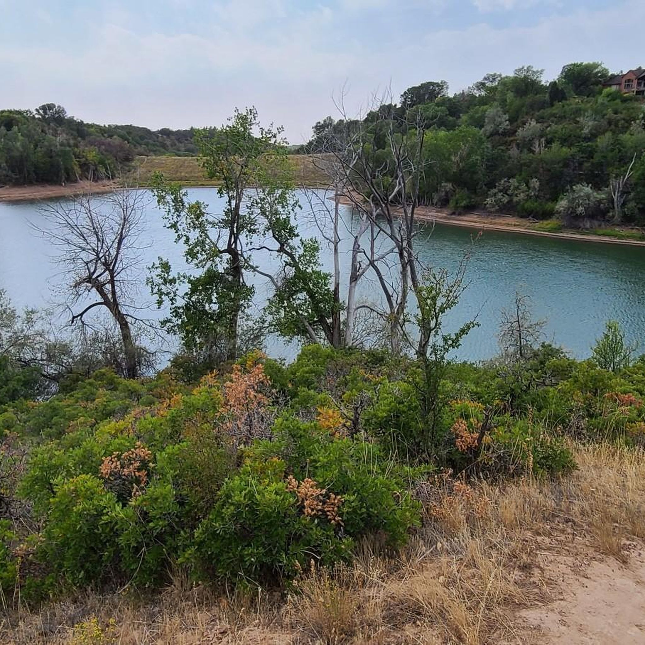
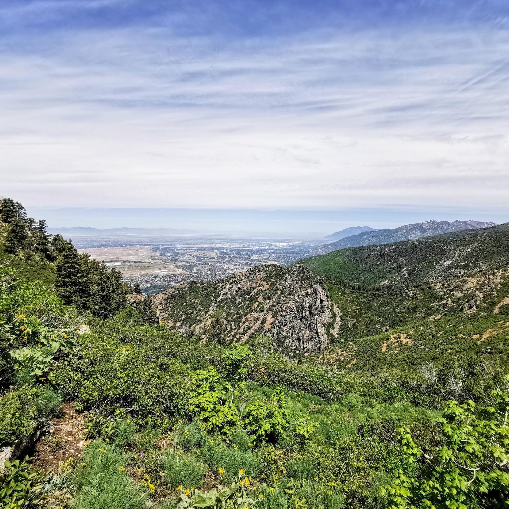
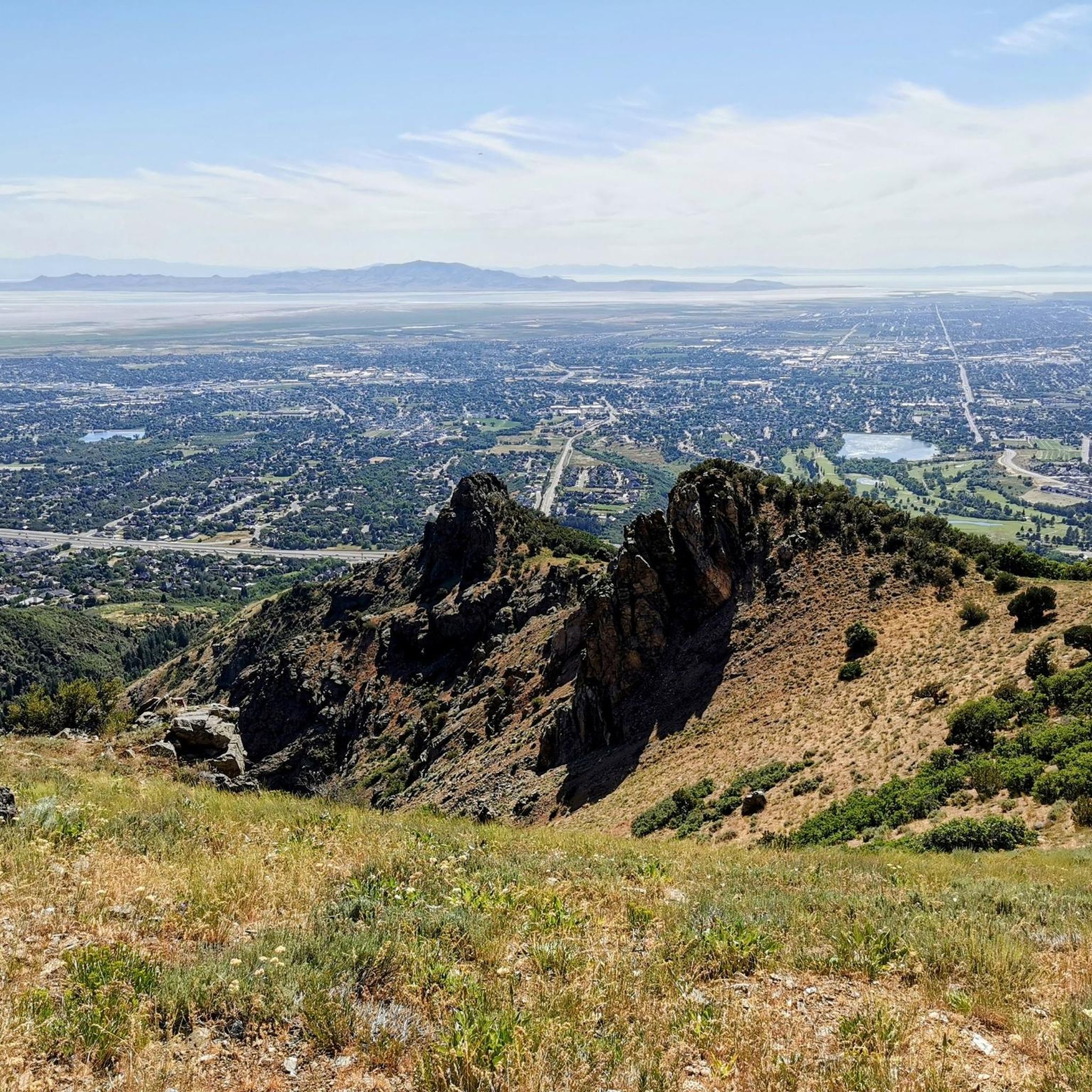
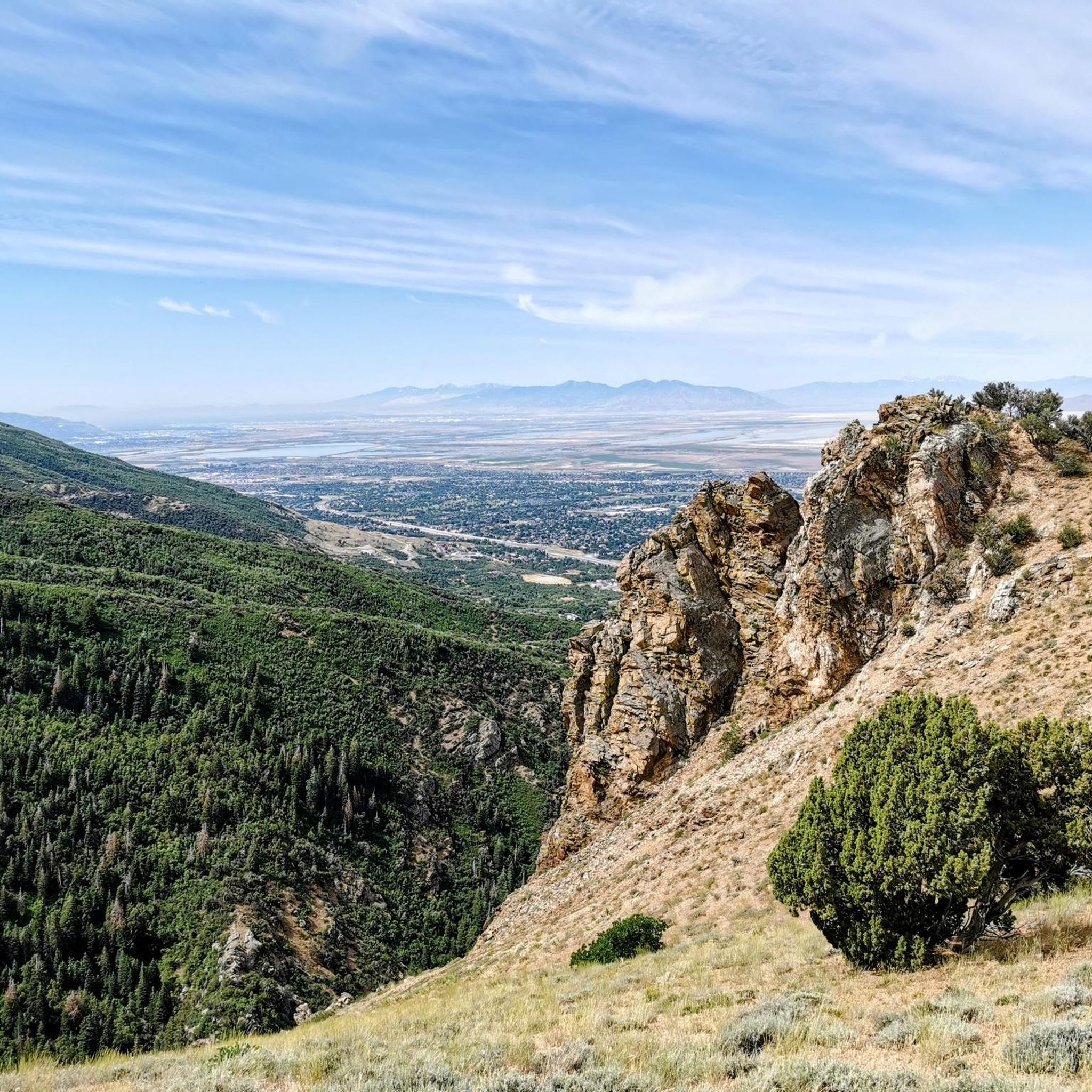
Tips from the Community


Ogden is set adjacent to the Wasatch Mountains and is the gateway for the Snowbasin and Powder Mountain ski resorts. Offering a variety of food an drink options for during or after a ride, it is a great starting point for rides out in Uinta-Wasatch-Cache National Forest.
0
0
Known by locals as "The Divide", North Ogden Canyon Road is a breathtaking 6-mile stretch of asphalt not to miss in the area! Nestled in Uinta-Wasatch-Cache National Forest, the road offers lush mountain views. The climb tops out at 6,190 ft, climbing with a maximum gradient of 11%. Beware of avalanche risk during the winter and spring.
0
0
The Denver and Rio Grande Western Rail Trail (D&RGW Rail Trail) is a 24-mile long paved path from Roy to Bountiful. A nice escape from the cars to really take in the scenery!
0
0
Layton sits between Clearfield and Kaysville and borders the Wasatch Mountains, which are hard to miss! From here, you have easy access to South Lake City, Ogden, and Syracuse.
0
0
Here is a nice section of paved trail separated from the main Bluff Road. Enjoy the views as you cruise along car-free.
0
0
The Denver and Rio Grande Western Rail Trail (D&RGW Rail Trail) is a 24-mile long paved path from Roy to Bountiful. This section of the trail, between West Barton Lane and Clark Lane, is rather flat and offers absolutely breathtaking views of the mountains to the east. A nice escape from the cars to really take in the scenery!
0
0
A lovely stretch of paved, non-motorized pathway around Pineview Reservoir in Uinta-Wasatch-Cache National Forest. The idea behind this project is to create a paved pathway around the full perimeter of the reservoir for pedestrians and cyclists to share.
1
0
Frequently Asked Questions
How many road cycling routes are available in South Weber?
South Weber offers a diverse selection of over 30 road cycling routes, catering to various skill levels. You'll find everything from easy, flat rides to more demanding routes with significant elevation gains into the Wasatch foothills.
What do other road cyclists enjoy about the routes in South Weber?
The road cycling routes in South Weber are highly rated by the komoot community, with an average score of 4.3 stars from over 40 reviews. Cyclists often praise the scenic mountain views, the tranquil riverside paths, and the well-connected greenbelt trails.
Are there easy road cycling routes suitable for beginners in South Weber?
Yes, South Weber has several easy road cycling options perfect for beginners. The Denver and Rio Grande Western Rail Trail Loop is an excellent choice, offering varied scenery over 26.3 miles with an easy difficulty grade. Many sections of the Weber River Parkway are also ideal for a relaxed ride.
Where can I find more challenging road cycling routes in the South Weber area?
For more advanced road cyclists, the region offers routes with significant elevation gains. The Farmington loop, for instance, leads through the Wasatch Mountain foothills and presents a moderate challenge. Additionally, the broader Wasatch Mountains, including routes towards Guardsman Pass, offer demanding climbs popular with serious cyclists, especially when mountain passes are open to bikes in spring.
Are there scenic road cycling routes in South Weber?
Absolutely. South Weber is known for its scenic beauty. The Denver and Rio Grande Western Rail Trail follows a historic rail line with picturesque views, while the Weber River Parkway offers winding paths along the riverbank. Roads like Canyon Drive also provide breathtaking mountain vistas.
Can I find loop routes for road cycling in South Weber?
Yes, loop routes are available for road cycling in South Weber. The Denver and Rio Grande Western Rail Trail Loop is a popular 26.3-mile option. Another great choice is the Steed Pond loop from Sunset, which offers an easy 33.6 km ride.
What natural features can I expect to see while road cycling in South Weber?
While road cycling in South Weber, you'll be surrounded by stunning natural beauty. The routes often feature majestic views of the Wasatch Mountains to the east and follow the scenic Weber River to the north. You can also expect to see lush greenbelts and varied terrain as you explore.
Are there any waterfalls or other water attractions near the road cycling routes?
Yes, there are several water attractions nearby. The Adams Canyon Waterfall is a notable natural landmark. Additionally, the Weber River itself is a prominent feature, and nearby Causey Reservoir and Pineview Reservoir are popular for various water sports.
What are the typical trail conditions for road cycling in South Weber?
Road cycling routes in South Weber offer a mix of paved trails and scenic roads. The Weber River Parkway, for example, features both paved and gravel sections. It's worth noting that strong canyon winds, particularly in the evenings, can be a characteristic of the area.
When is the best time of year for road cycling in South Weber?
The spring and fall months generally offer the most pleasant conditions for road cycling in South Weber, with milder temperatures. Spring is particularly appealing for serious cyclists as mountain passes like Guardsman Pass, while not directly in South Weber, are often closed to cars but open to bikes, providing unique riding opportunities.
Are there opportunities for wildlife viewing along the routes?
Yes, the natural settings around South Weber provide opportunities for wildlife viewing. The Weber River Parkway is a popular spot for bird watchers. For a dedicated wildlife experience, Antelope Island State Park, home to free-ranging bison, mule deer, and various bird species, is within reach.
Are there any specific parks or green spaces that offer good starting points for road cycling?
South Weber boasts numerous parks and green spaces that can serve as excellent starting points. Canyon Meadows Park offers walking paths and mature landscaping. The city is also actively developing its trail network, connecting the Bonneville Shoreline Trail with the Weber Pathways trail, creating an extensive network for cyclists.
Where can I find information about the broader trail network in South Weber?
South Weber is part of an extensive trail network. The city's official website provides information on local trails: southwebercity.gov/trails/. You can also learn more about the 27-mile Centennial Trail, which links greenbelts along the Ogden and Weber rivers, on Visit Utah's website: visitutah.com/articles/cycling-the-centennial-trail.
Most popular routes around South Weber
Most popular attractions around South Weber

Get inspired with the komoot mobile app


Explore more
Browse the best Road cycling routes in other regions.
