The best road cycling routes around South Salt Lake
4.4
(26)
4,981
riders
13
rides
Road cycling around South Salt Lake offers diverse terrain, transitioning from the flat Salt Lake Valley to the challenging inclines of the Wasatch Mountains. The region is characterized by extensive trail systems, including paths alongside the Jordan River and various creeks. Cyclists can experience routes that provide mountain views and connect to broader regional networks. This varied landscape provides options for different levels of road cycling.
Best road cycling routes around South Salt Lake
- The most popular road cycling route…
Last updated: May 16, 2026
187
riders
84.8km
04:41
1,730m
1,730m
Hard road ride. Very good fitness required. Mostly well-paved surfaces and easy to ride.
85
riders
72.4km
04:05
1,490m
1,490m
Hard road ride. Very good fitness required. Mostly well-paved surfaces and easy to ride.

Sign up for free
49
riders
27.6km
01:19
330m
330m
Moderate road ride. Good fitness required. Mostly well-paved surfaces and easy to ride.
15
riders
34.8km
01:44
450m
450m
Moderate road ride. Good fitness required. Mostly well-paved surfaces and easy to ride.
13
riders
Easy road ride. Great for any fitness level. Mostly well-paved surfaces and easy to ride.
Get access to more routes and recommendations from other explorers.
Sign up for free
Already have an account?
Our route recommendations are based on thousands of hikes, rides, and runs completed by other people on komoot.
Start today with a free account
Your next adventure awaits.
Login or Signup
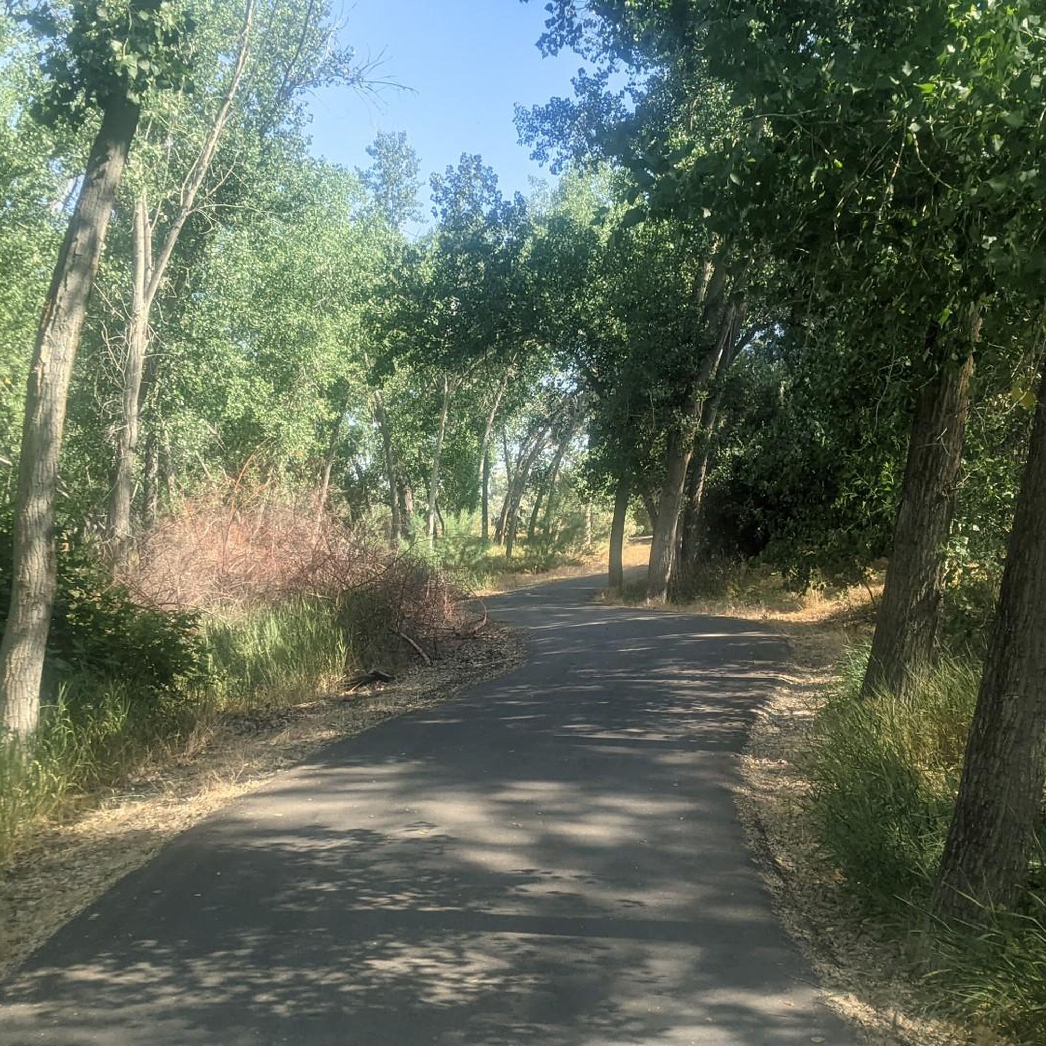
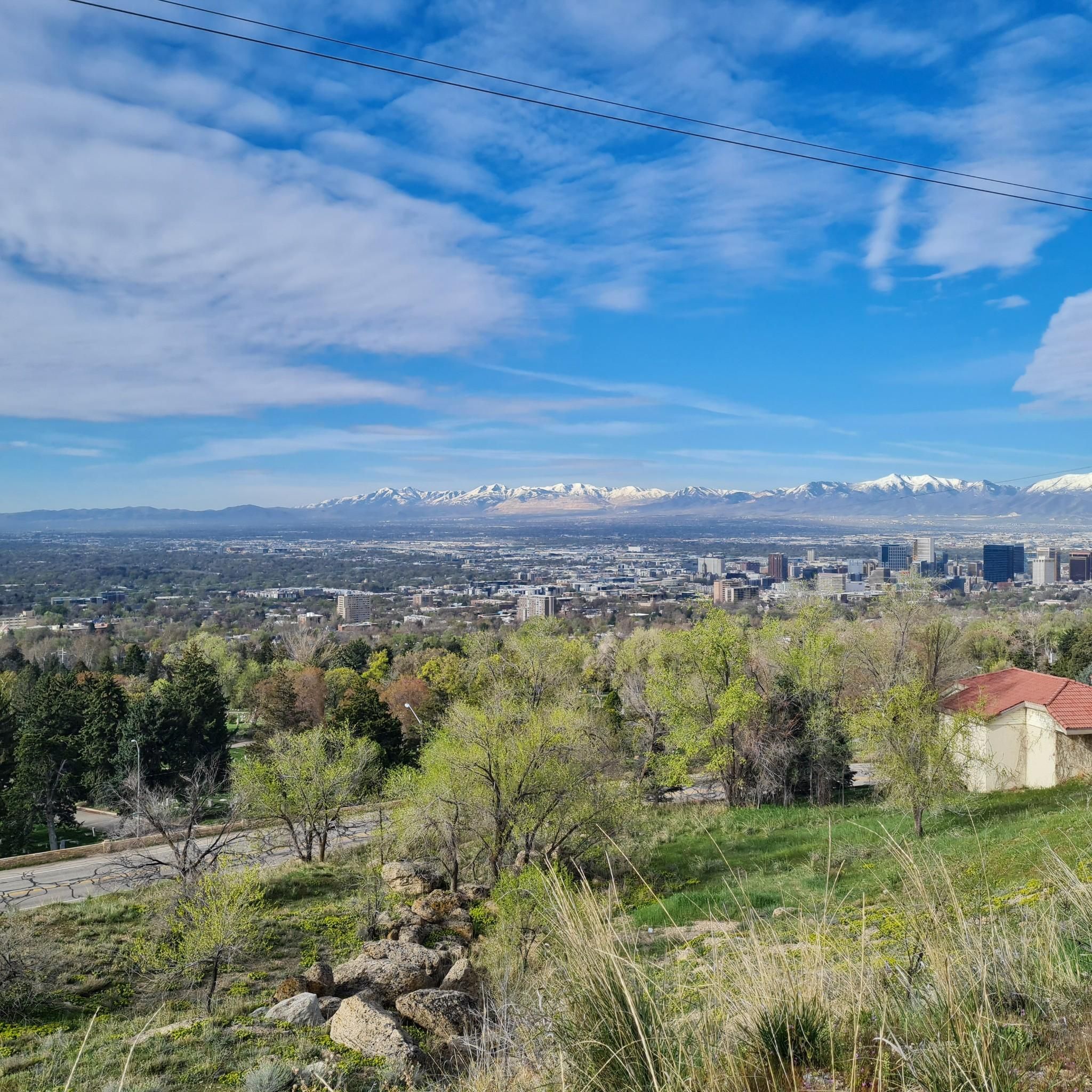
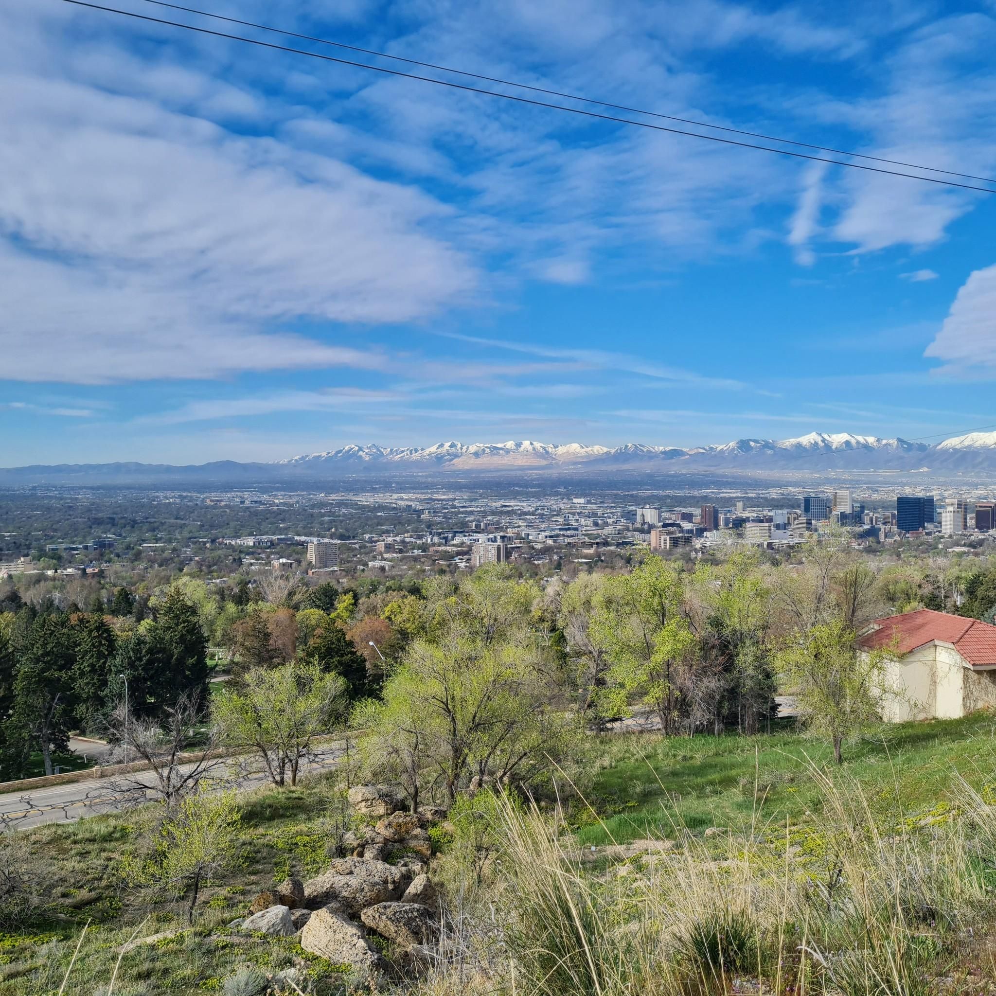

Tips from the Community

Very beautiful park.
0
0

Parley’s trail is closed at 300 West. Go through the MedVet parking lot all the way to the back behind the buildings and turn right to pick up the trail along the train tracks.
1
0

Guardsman Pass is a tough but unforgettable climb—steep grades, tight switchbacks, and big elevation gain. The views from the top, at nearly 9,700 feet, are worth every pedal stroke. Expect light traffic on weekdays and smooth pavement for a fast, fun descent.
0
0

This park is 110 acres of urban tranquility, with lots of open green space, ponds, picnic pavilions, and athletic fields. It also anchors one end of Parley's Trail, a great multi-use trail that runs all the way to Parley's Historic Nature Park and the mouth of Parley's Canyon.
0
0

Short wooden suspension bridge. This is just off the Jordan River trail and interesting to stop and see. Bikes must be walked on the bridge.
0
0
The Utah Cultural Celebration Center hosts community events, concerts, and more. It’s easily accessed on a spur trail from the Jordan River Parkway. Even if it’s closed, there’s public art and monuments to check out as well as bathrooms, water, and places to take a break.
0
0
This is a paved and protected bike path with multiple pedestrian bridges to cross busy streets, I-15, and the rail yard. Best way to ride between central SLC, South Salt Lake, and the Jordan River.
0
0
Two great local spots share a parking lot close to the S Line trail. Old Cuss Cafe has coffee, breakfast (vegan/vegetarian), and a small vintage shop that will satisfy at the end of a morning ride. Chappell Brewing is a microbrewery with 3-4 beers on rotating tap, making for an ideal post-ride pint. Plenty of bike parking and indoor or outdoor seating at both places.
0
0
Frequently Asked Questions
What makes South Salt Lake a good destination for road cycling?
South Salt Lake is considered a cycling mecca due to its diverse terrain, ranging from the flat Salt Lake Valley to the challenging inclines of the Wasatch Mountains. The area boasts an extensive network of trails, with 98% of residents living within two blocks of a bike lane, and offers stunning mountain views as a backdrop for your rides. It's well-connected to broader regional networks, providing varied options for all skill levels.
How many road cycling routes are available around South Salt Lake?
There are over 15 road cycling routes available around South Salt Lake, catering to various difficulty levels. The komoot community has explored more than 17 routes in the area, with options ranging from easy to difficult.
Are there easy road cycling routes suitable for beginners in South Salt Lake?
Yes, South Salt Lake offers several easy road cycling routes perfect for beginners. For instance, the Parleys Canyon – Sugar House Park loop from Central Pointe is an easy 14.5-mile route. Another great option is the Jordan River Parkway – View of the Jordan River loop from Meadowbrook, which is 18.2 miles long with minimal elevation gain, making it very accessible.
Which road cycling routes offer scenic views of the mountains or natural landscapes?
Many routes in South Salt Lake provide picturesque views. The Sunrise Point – Holladay City Park loop from Meadowbrook offers expansive views of the surrounding landscape due to its significant elevation gain. Routes passing through green spaces like Sugar House Park, such as the Sugar House Park loop from Central Pointe, also provide beautiful mountain backdrops. The Jordan River Parkway Trail offers pleasant, tree-lined environments along the river.
Are there challenging road cycling routes for experienced riders?
Absolutely. For experienced riders seeking a challenge, the Sunrise Point – Holladay City Park loop from Meadowbrook is a difficult 45.3-mile route with over 1,500 meters of elevation gain. The wider Salt Lake City area is also renowned for its canyon cycling, with routes like Little Cottonwood Canyon and Big Cottonwood Canyon offering significant climbs and breathtaking scenery.
What natural features or landmarks can I see along road cycling routes in South Salt Lake?
Road cycling routes often pass by significant natural features and landmarks. You can ride alongside the Jordan River on the Jordan River Parkway Trail or follow Parley's Creek on Parley's Trail. Many routes offer views of the Wasatch and Oquirrh Ranges. For specific viewpoints, consider exploring highlights like Living Room (Viewpoint) or View of Salt Lake City from Ensign Peak, which provide panoramic vistas of the valley.
Are there any loop road cycling routes available?
Yes, many road cycling routes in South Salt Lake are designed as loops. Examples include the Sunrise Point – Holladay City Park loop from Meadowbrook, the Sugar House Park loop from Central Pointe, and the Jordan River Parkway – View of the Jordan River loop from Meadowbrook. These loops offer convenient starting and ending points.
What is the best time of year to go road cycling in South Salt Lake?
The peak season for road cycling in and around South Salt Lake is typically during July and August. However, the diverse terrain means you can find suitable conditions for much of the year. Always check local weather conditions, especially when planning rides with significant elevation gain in the mountains.
What do other road cyclists enjoy most about road cycling in South Salt Lake?
The area is highly rated by the komoot community, with an average score of 4.8 stars from over 10 reviews. Reviewers often praise the diverse terrain, from flat valley rides to challenging mountain climbs, and the extensive, well-maintained trail systems like the Jordan River Parkway. The stunning mountain views and connectivity to broader networks are also frequently highlighted.
Are there any parks or green spaces accessible by road bike in South Salt Lake?
Yes, several routes pass through or near parks and green spaces. The Sugar House Park loop from Central Pointe, for example, takes you through Sugar House Park, which offers expansive green spaces with mountain backdrops. The Jordan River Parkway Trail also provides access to various parks and open areas along the river.
Where can I find more information about trails and outdoor recreation in South Salt Lake?
For more details on local trails and outdoor recreation initiatives, you can visit the official South Salt Lake city website. They provide information on Parks & Outdoor Recreation and Trails within the city.
Most popular routes around South Salt Lake
Most popular attractions around South Salt Lake

Get inspired with the komoot mobile app


Explore more
Browse the best Road cycling routes in other regions.
