The best road cycling routes around Rockville
130
riders
11
rides
Road cycling routes around Rockville feature a mix of suburban roads and tree-lined paths, offering varied terrain for cyclists. The area includes gentle rolling hills and flat sections, suitable for different skill levels. Cyclists can find routes that traverse residential areas and connect to more open stretches, providing diverse scenery.
Best road cycling routes around Rockville
- The most popular road cycling route is Mount Carmel Tunnel & Pa'rus Trail loop, a 12.1 miles (19.5 km) trail that takes 1…
Last updated: August 4, 2026
14
riders
19.5km
01:06
360m
360m
Moderate road ride. Good fitness required. Mostly well-paved surfaces and easy to ride.
11
riders
72.4km
03:31
980m
980m
Hard road ride. Very good fitness required. Mostly well-paved surfaces and easy to ride.

Sign up for free
52
riders
Easy road ride. Great for any fitness level. Mostly well-paved surfaces and easy to ride.
16
riders
43.4km
01:49
270m
270m
Easy road ride. Great for any fitness level. Mostly well-paved surfaces and easy to ride.
12
riders
31.7km
01:49
750m
750m
Moderate road ride. Good fitness required. Mostly well-paved surfaces and easy to ride.
Get access to more routes and recommendations from other explorers.
Sign up for free
Already have an account?
Our route recommendations are based on thousands of hikes, rides, and runs completed by other people on komoot.
Start today with a free account
Your next adventure awaits.
Login or Signup


Tips from the Community


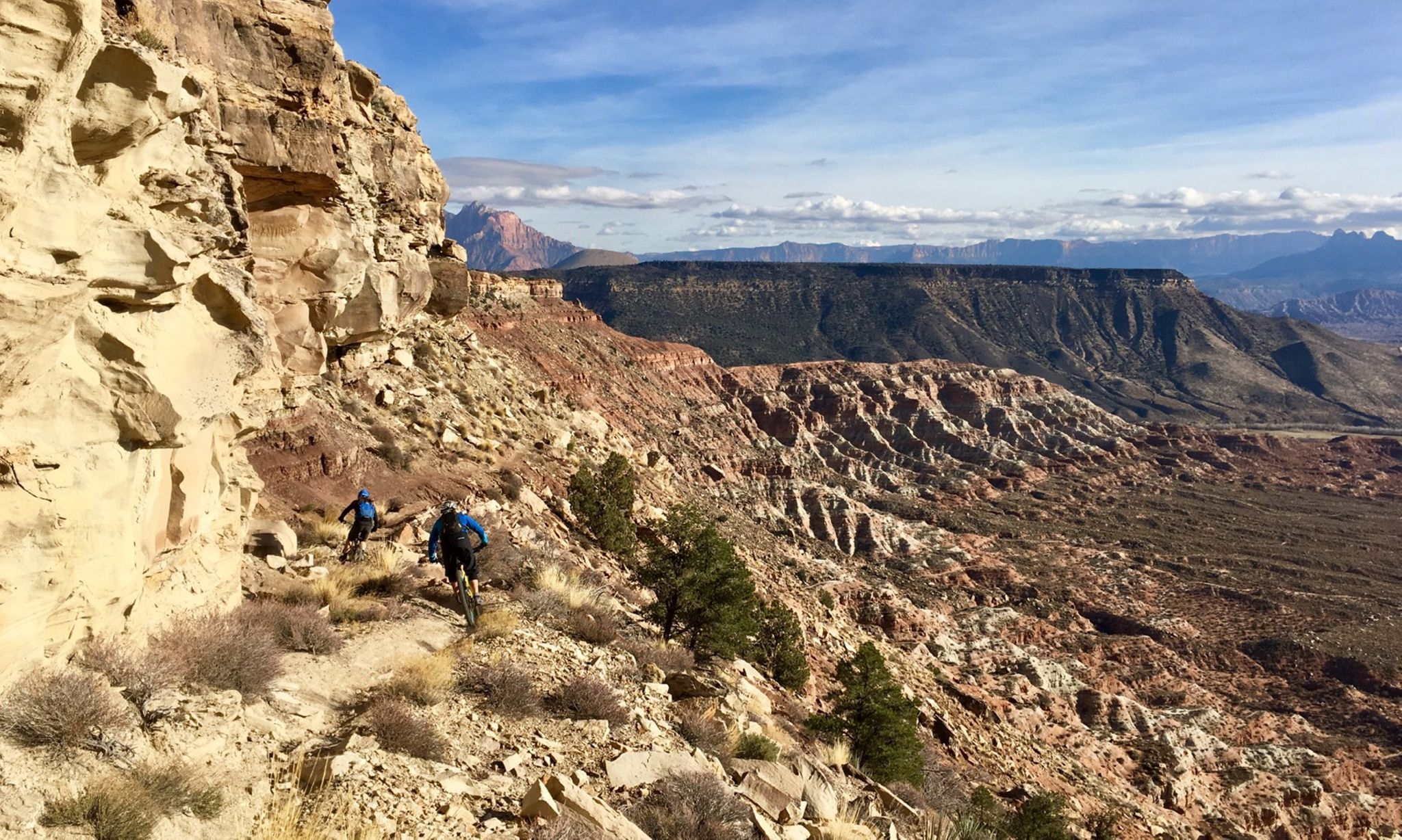
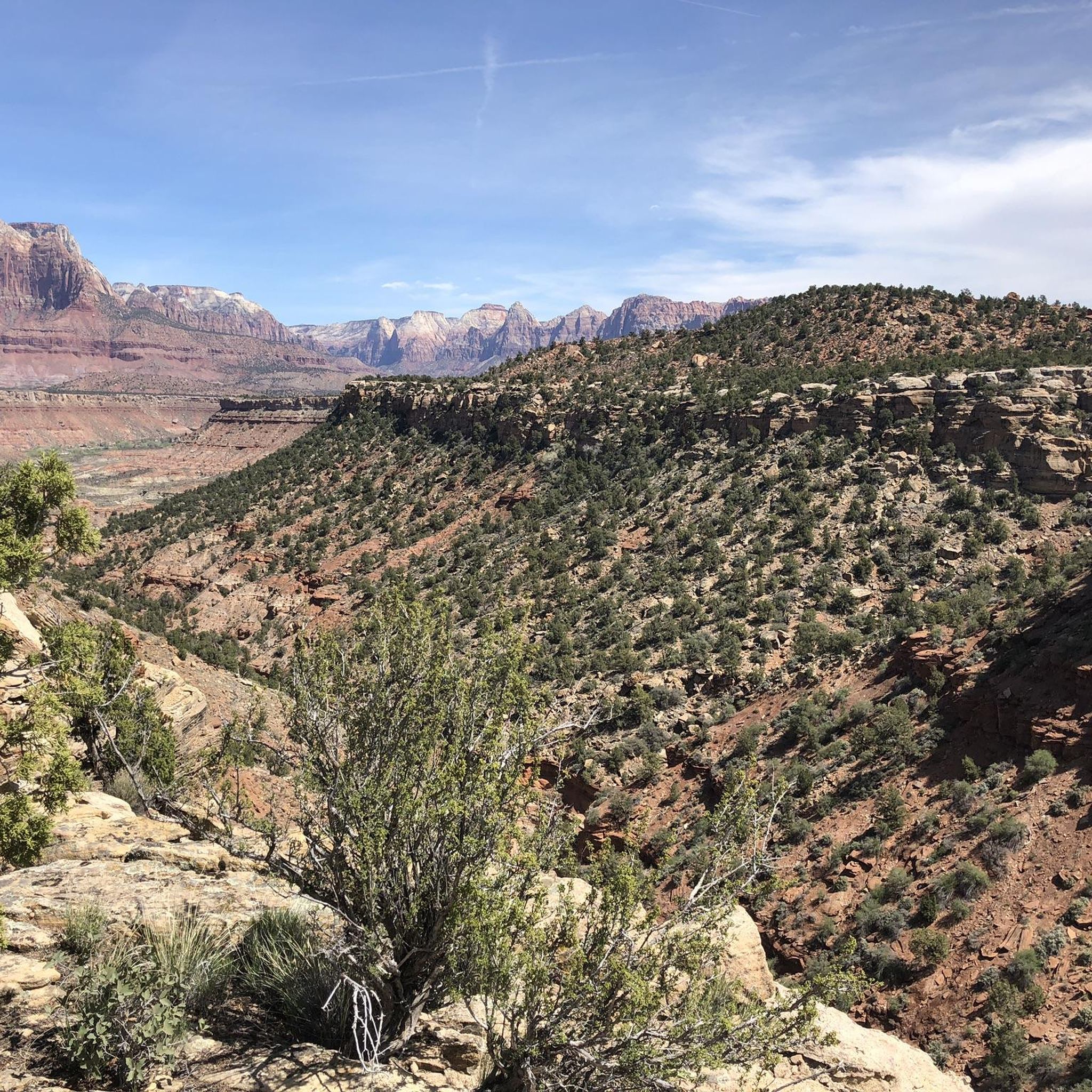
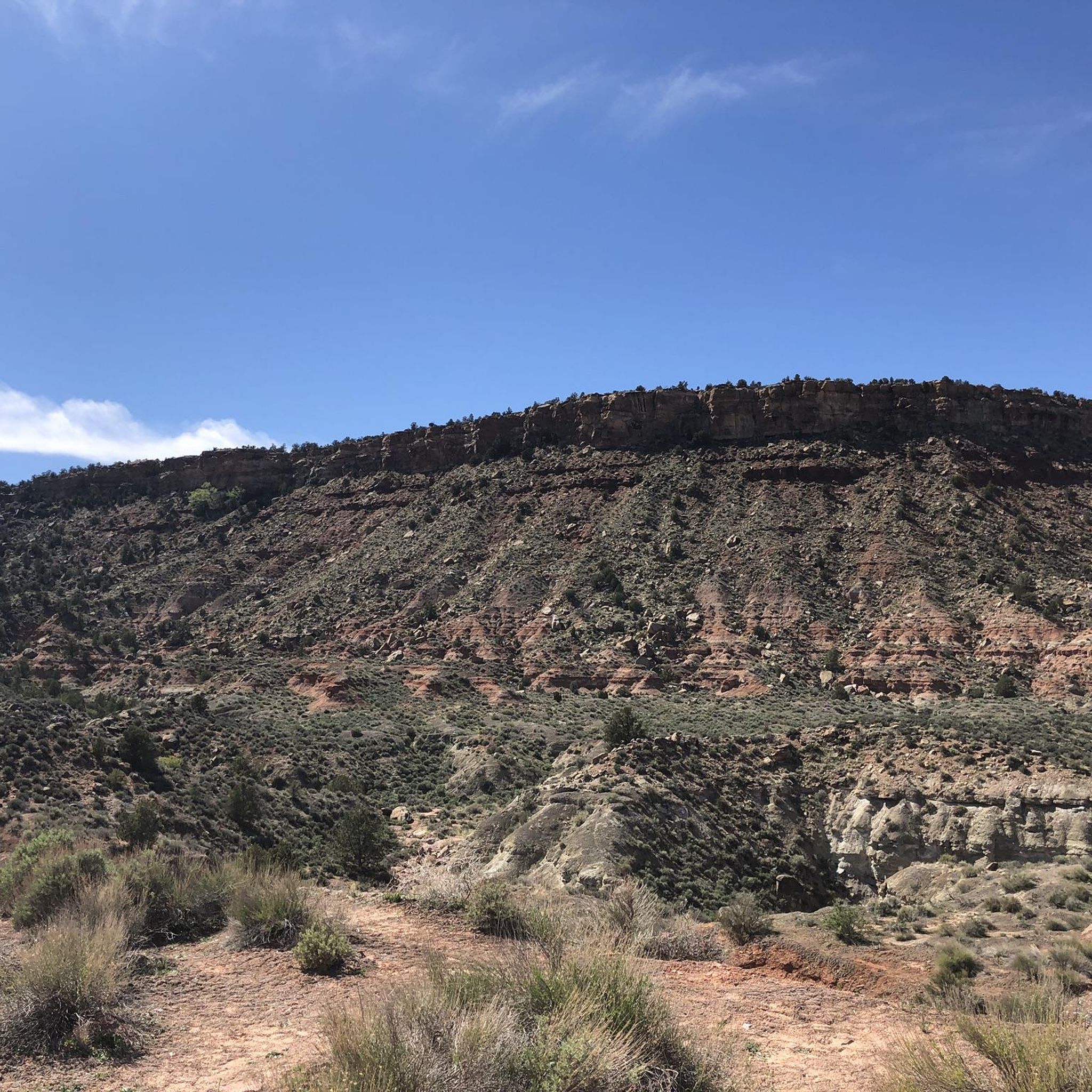
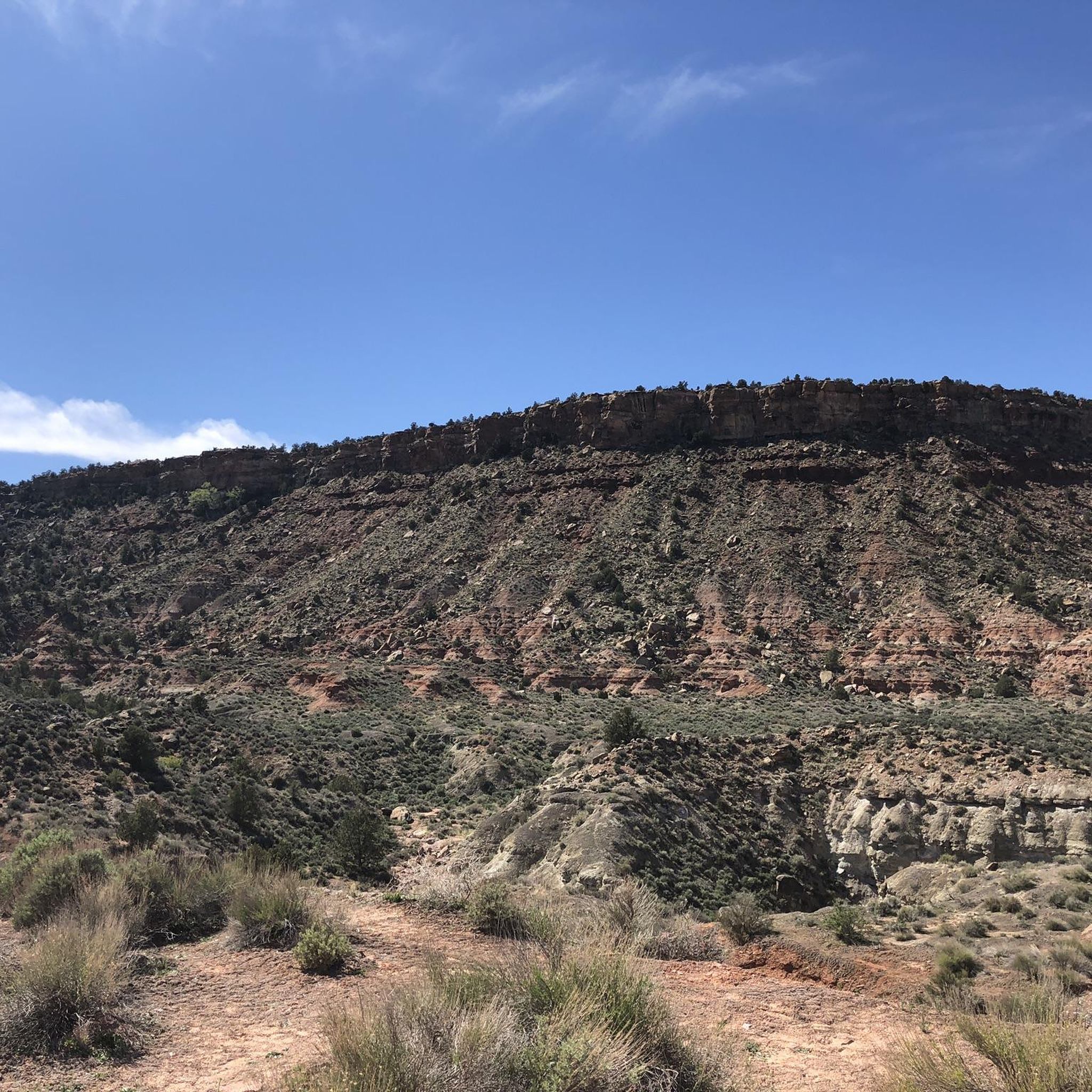
There is a small pull-off on the side of the main road, which is a great place to stop and admire the valley. You can see a variety of remarkable rock formations, and you might see climbers on Lambs Knoll.
2
0
Cycling isn't allowed through the tunnel, and there is space to pull over off the road at the entrance. You can try to hitchhike through, or turn around and enjoy the switchbacks down the canyon.
0
0

This park is a great spot to start and end your ride while you explore the Zion area. There's water, toilets, shady areas, and the river to cool down in.
0
0

Kolob Terrace Road leads to the upper section of Zion National Park, offering stunning scenic views along the ride. The road has a steady incline and transitions to gravel, so be ready for a challenging climb.
0
0
This park is a great spot to start and end your ride while you explore the Zion area. There's water, toilets, shady areas, and the river to cool down in.
0
0
No cycling allowed through the tunnel, but if you give it a few minutes is pretty easy to catch a ride through with another park visitor.
0
0

Frequently Asked Questions
What types of road cycling routes are available around Rockville?
Rockville offers a diverse range of road cycling routes, from easy, relatively flat paths to more challenging rides with significant elevation gain. You'll find a mix of suburban roads and tree-lined sections, catering to various skill levels.
Are there easy road cycling routes suitable for beginners or families in Rockville?
Yes, Rockville has easy road cycling options. For instance, the Pa'rus Trail loop from Springdale is an easy 5.0-mile (8.0 km) path with a relatively flat profile, making it accessible for many cyclists, including families.
Which routes offer a more challenging road cycling experience near Rockville?
For a more challenging ride, consider the Tabernacle Dome & Lambs Knoll route. This difficult 45.0-mile (72.4 km) route features substantial elevation changes, providing a demanding workout for experienced road cyclists.
What are some scenic viewpoints or attractions along the road cycling routes?
While cycling around Rockville, you can explore several natural attractions. Notable points of interest include Zion National Park and the Canyon Overlook Trail. The Zion Mount Carmel Tunnel is also a significant landmark you might encounter.
Are there any loop trails for road cycling in the Rockville area?
Yes, several routes are designed as loops. Examples include the popular Mount Carmel Tunnel & Pa'rus Trail loop, the easy Pa'rus Trail loop from Springdale, and the Zion—Mount Carmel Highway – Zion–Mount Carmel Highway loop from Zion Human History Museum.
What is the best time of year for road biking in Rockville?
The Rockville area generally offers pleasant road cycling conditions during spring and fall, when temperatures are milder. Summer can be hot, so early morning or late afternoon rides are often preferred. Winter cycling depends on local weather, with some days being suitable and others requiring more caution due to colder temperatures.
How long does it take to complete a typical road cycling route in Rockville?
Route durations vary significantly based on distance and difficulty. For example, the Zion—Mount Carmel Highway loop can be completed in about 40 minutes, while the moderate Mount Carmel Tunnel & Pa'rus Trail loop typically takes around 1 hour and 6 minutes. Longer, more difficult routes like Tabernacle Dome & Lambs Knoll can take over 3.5 hours.
Are there options for long-distance road cycling routes in the Rockville area?
Yes, for those seeking longer distances, the Tabernacle Dome & Lambs Knoll route spans approximately 45.0 miles (72.4 km) with considerable elevation, offering a significant long-distance challenge.
What do other road cyclists enjoy about the routes around Rockville?
Road cyclists using komoot frequently explore Rockville's varied terrain, appreciating the combination of suburban roads and tree-lined sections. The network provides options for different ability levels, from easy loops to more challenging climbs, making it a versatile area for cycling.
Are there less crowded road cycling trails near Rockville?
While specific crowd levels can vary, exploring routes during off-peak hours or weekdays can often lead to a more serene experience. Many of the routes traverse residential areas and connect to more open stretches, offering opportunities for quieter rides.
Is there public transport access to road cycling trails in Rockville?
Information regarding specific public transport access points directly to the start of these road cycling trails is not detailed in the route descriptions. It is advisable to check local public transportation schedules and routes for connections to Rockville's general area.
Are there any specific parking recommendations for road cycling routes in Rockville?
While specific parking details for each route are not provided, many routes in Rockville start from accessible points within or near residential areas. For routes within or near parks, designated parking lots are often available. It is recommended to check the starting point of your chosen route for nearby parking options.
Most popular routes around Rockville
Most popular attractions around Rockville

Get inspired with the komoot mobile app


Explore more
Browse the best Road cycling routes in other regions.
