The best running trails around North Richland Hills
4.7
(6)
568
runners
54
runs
Jogging around North Richland Hills offers access to an extensive park system, dedicated trails, and preserved natural areas. The region is characterized by its location within the Eastern Cross Timbers, featuring a mosaic of grasslands and woodlands with deciduous trees like Black Jack and Post Oak. Numerous trails provide scenic views of flowing creeks and native ecosystems, contributing to varied terrain for outdoor activity. The city's comprehensive trail network connects various neighborhoods and natural areas, providing diverse environments for running.
Best jogging routes around North Richland Hills
- The most popular jogging route is Arcadia Trail – Arcadia Trail loop from Central High School, a 8.0 miles (12.9 km) trail that takes 1 hour 21 minutes to complete, winding through local parks and green spaces.
- Another top favourite among local runners is Trinity Trails, a moderate 4.1 miles (6.6 km) path. This route offers varied tree cover along the river, providing a scenic running experience.
- Local runners also love the Walker's Creek Trail, a 3.3 miles (5.3 km) trail leading through lush greenery and tranquil paths, often completed in about 33 minutes.
- Jogging around North Richland Hills is defined by its extensive trail system, numerous parks, and wooded creek-sides within the Cross Timbers region. The network offers options for easy, moderate, and more challenging running experiences.
- The routes in North Richland Hills are highly rated by the komoot community with an average score of 4.5 stars from several reviews. More than 500 runners have used komoot to explore North Richland Hills's varied terrain.
Last updated: May 10, 2026
7
runners
5.98km
00:37
10m
10m
Lace up your jogging shoes for the Buffalo Ridge Park Trail, a moderate route that takes about 36 minutes to complete. You will cover 3.7 miles (6.0 km) with a gentle elevation gain of 39 feet (12 metres) as you move through diverse landscapes. Expect well-maintained paths that wind through tranquil wooded areas and open fields. Keep an eye out for the beautiful treed sections that add to the park's natural charm, especially as the trail connects towards Whites Branch Park, offering picturesque views.
Buffalo Ridge Park is designed as a community oasis, making it easy for you to visit. You will find ample parking lots available right at the trailhead. The park also provides convenient amenities like restrooms, picnic areas, and BBQ facilities for your use. The trails are well-marked, ensuring easy navigation throughout your jogging session.
This route stands out for its blend of natural beauty and urban accessibility within Haltom City. It offers a pleasant escape where you can enjoy the outdoors without venturing far from the city. The connection to areas like Whites Branch Park not only extends your options but also provides those scenic views of the Fort Worth area, making it a notable spot for a quick workout.
6
runners
3.36km
00:21
20m
20m
The Calloway Branch West Loop offers an easy jogging experience through a pleasant mix of urban green spaces and local neighborhoods. As you jog, you will enjoy scenic views of flowing creeks and native ecosystems along the Little Bear Creek corridor. This 2.1-mile (3.4 km) route involves a gentle 60 feet (18 metres) of elevation gain, making it perfect for a quick 20-minute run. You can expect a refreshing atmosphere as you pass by diverse wildlife.
Accessing the Calloway Branch West Loop is straightforward, with convenient parking available at Cross Timbers Park. The trail is well-integrated into the North Richland Hills community, providing a safe and maintained environment for your jogging. You will find 911 Signs every quarter-mile on off-road sections, which provide specific location codes for emergency assistance. This makes it easy to navigate and ensures peace of mind during your run.
This jogging route is notable for its commitment to safety and community integration within North Richland Hills. It provides a consistent opportunity to connect with nature, offering glimpses of diverse wildlife as you move through the landscape. The trail's design along the Little Bear Creek corridor highlights the area's natural beauty, making it a valuable local resource for outdoor activity.

Sign up for free
2
runners
5.29km
00:33
20m
20m
Jog the 3.3-mile Walker's Creek Trail, a moderate route with 51 feet of elevation gain, offering a mix of urban and natural views in North R
14
runners
12.9km
01:21
50m
50m
Moderate run. Good fitness required. Mostly paved surfaces. Suitable for all skill levels.
12
runners
4.99km
00:31
30m
30m
Easy run. Great for any fitness level. Mostly paved surfaces. Suitable for all skill levels.
Get access to more routes and recommendations from other explorers.
Sign up for free
Already have an account?
Our route recommendations are based on thousands of hikes, rides, and runs completed by other people on komoot.
Start today with a free account
Your next adventure awaits.
Login or Signup

Tips from the Community


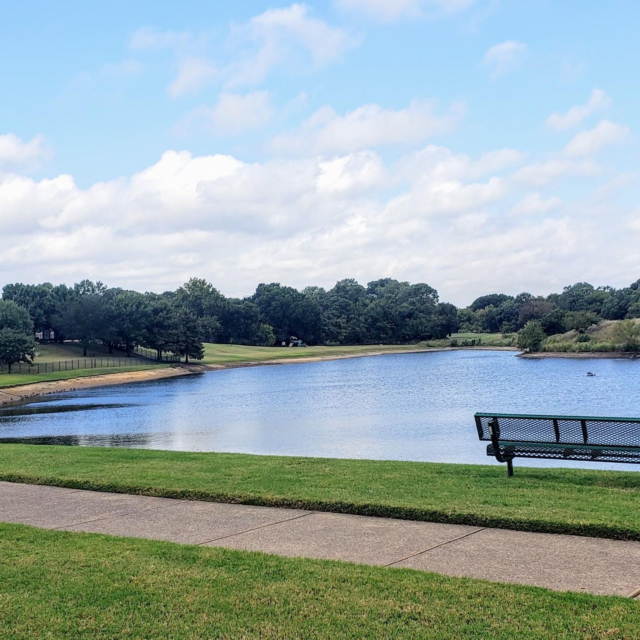
This beautiful 102-acre community park surrounds two lakes with gorgeous green space. It includes a short 1.1 mile (1.77 kilometers) trail for hiking and biking, a nature trail with nice benches and interpretive signs, observation areas, wildflower meadows, picnic tables, a playground, restrooms, a butterfly garden, and plenty of parking. It's an ideal place to stop and stretch your legs or take a long break after a ride.
0
0

This 20-acre park is exceptionally kid-friendly, featuring two playgrounds, a sprayground (water park playground), and picnic pavilions. The trail connecting this park and Buffalo Ridge Park winds through a lush green area, providing picturesque views of the Fort Worth area.
0
0
Spanning 57 acres, this park features baseball fields, a playground, and a pavilion equipped with picnic tables. A pleasant paved trail meanders alongside Walter's Creek, offering a peaceful hike along the water.
0
0
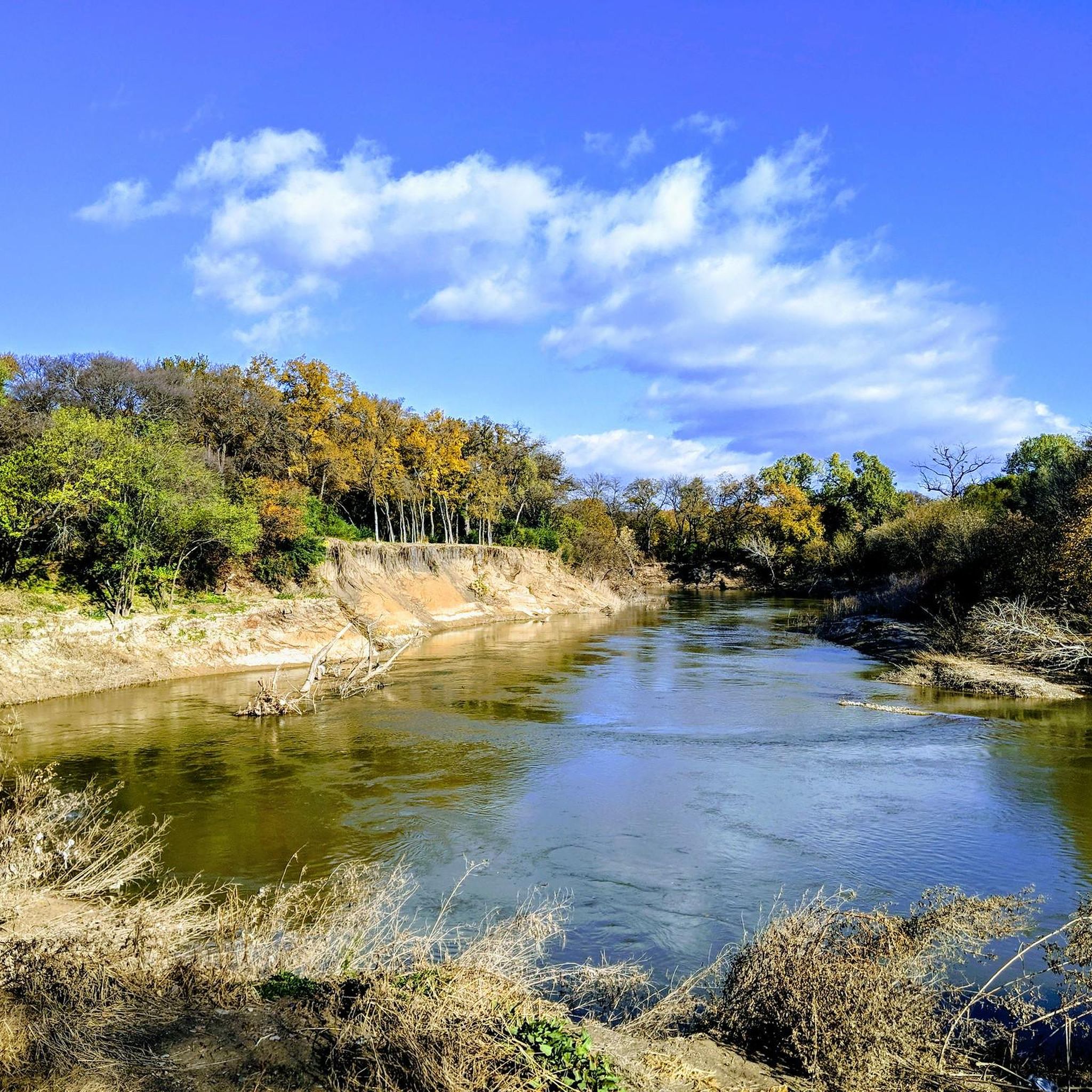
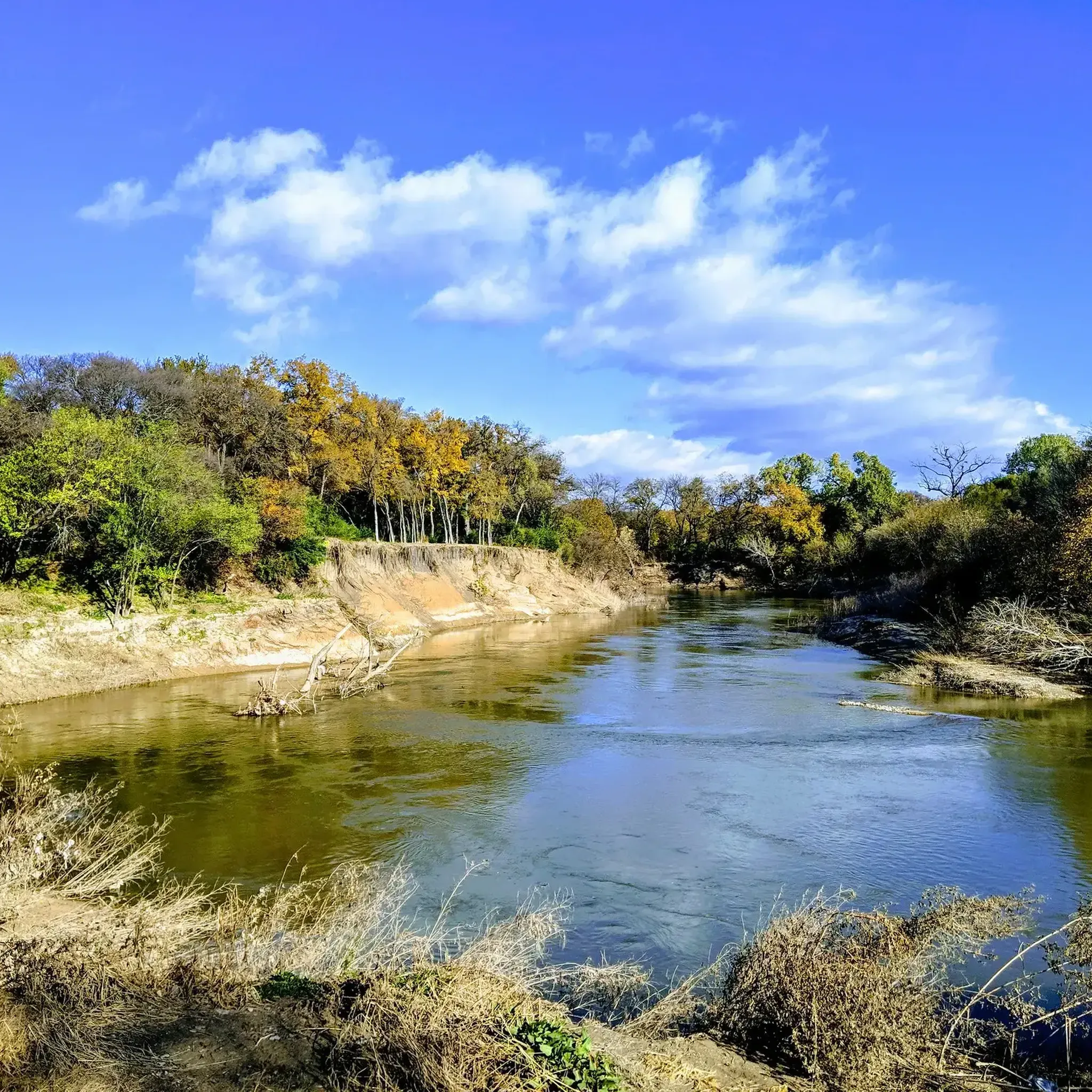
This trail meanders alongside a pleasant creek, with numerous picnic tables situated along the way. The area is rich in wildlife, and you'll also come across stunning wildflowers. The trail offers a mix of dirt and paved paths as you proceed.
1
0
Covering 100 acres, this park encompasses baseball fields, playgrounds, and picnic shelters, complemented by both a paved and an unpaved trail that forms a loop around Cross Timber Park and Adventure World Park. In the past, it served as the home of the Tarrant County Blue Thunder, an independent professional baseball team.
0
0
Frequently Asked Questions
How many running routes are available in North Richland Hills?
North Richland Hills offers a wide selection of running routes, with over 45 options available. These routes cater to various preferences, ranging from easy strolls to more challenging runs.
Are there any easy running paths suitable for beginners or a relaxed jog?
Yes, North Richland Hills has several easy running paths. For instance, the Calloway Branch West Loop is an easy 2.1-mile (3.4 km) route. The city's extensive park system, including parks like Linda Spurlock Park, also features well-maintained trails suitable for various levels of activity.
Which running routes offer scenic views or natural features?
Many routes in North Richland Hills provide scenic beauty. The Trinity Trails offer varied tree cover along the river, providing a picturesque experience. Fossil Creek Park is known for its wooded and scenic unpaved trail that meanders along Fossil Creek, featuring small waterfalls and deep pools, giving a sense of wilderness.
Are there any circular running routes in North Richland Hills?
Yes, many of the running routes in North Richland Hills are designed as loops. A popular option is the Arcadia Trail Loop, which is a 2.8-mile (4.6 km) trail winding through local parks and green spaces.
What kind of terrain can I expect on the running trails in North Richland Hills?
The running trails in North Richland Hills offer diverse terrain. You'll find well-maintained paved paths in many parks, as well as unpaved, natural surfaces, particularly along creek-sides and in more wooded areas like Fossil Creek Park. The region's comprehensive trail network connects various neighborhoods and natural areas, providing varied surfaces for your run.
Are the running trails in North Richland Hills dog-friendly?
Many parks and trails in North Richland Hills are dog-friendly, provided pets are kept on a leash. It's always a good idea to check specific park regulations before heading out, but generally, the city's extensive trail system welcomes leashed dogs.
Are there family-friendly running routes suitable for all ages?
Absolutely. Parks like Linda Spurlock Park and Green Valley Park offer tranquil settings and well-maintained paths that are ideal for family jogs or walks. The city's trail system is designed to be accessible, making it easy to find routes suitable for various fitness levels and ages.
What are some notable landmarks or attractions I might see near the running routes?
While running, you might encounter several interesting spots. The nearby Trinity River offers scenic views, and you can find highlights like Nutt Lake Park or the Pond with Fountain at Sinclair Park along some routes. For a unique sight, consider the Alpacas at CBT Trail.
Are there running routes with convenient parking options?
Most parks in North Richland Hills, which host many of the running routes, offer dedicated parking facilities. The city's trail system is designed to be accessible, and you'll typically find parking available at trailheads or within the parks themselves, such as at Cross Timbers Park or Green Valley Park.
What do other runners enjoy most about jogging in North Richland Hills?
The running experience in North Richland Hills is highly rated by the komoot community, with an average score of 4.3 stars. Runners often praise the extensive trail system, the variety of parks, and the pleasant wooded creek-sides that offer a refreshing escape within the urban environment.
Are there any routes that follow a creek or river?
Yes, you can find routes that follow natural waterways. The Walker's Creek Trail leads through lush greenery alongside Walker's Creek. Additionally, Fossil Creek Park features an unpaved trail that meanders along Fossil Creek, offering a unique natural experience.
How long are the typical running trails in North Richland Hills?
The running trails in North Richland Hills vary in length to suit different preferences. You can find shorter routes, like the 2.1-mile (3.4 km) Calloway Branch West Loop, or longer options such as the 4.1-mile (6.6 km) Trinity Trails. Many parks also offer shorter loops within their boundaries, like the 0.6-mile trail in Linda Spurlock Park.
Most popular routes around North Richland Hills
Most popular attractions around North Richland Hills

Get inspired with the komoot mobile app


Explore more
Browse the best Running Trails & Routes in other regions.
