The best walks and hikes around North Richland Hills
4.0
(6)
175
hikers
33
hikes
Hiking around North Richland Hills explores a network of urban parks and greenbelts, connected by both paved and unpaved paths. The terrain is generally flat, with routes winding through local parkland, alongside creeks, and into pockets of woodland. This trail system provides accessible outdoor recreation within the Dallas-Fort Worth metroplex. Many trails follow creek-sides and lead through wooded areas, offering natural escapes within the urban environment.
Best hiking trails around North Richland Hills
- The most popular hiking route is Capp Smith Park Trail, a 1.3 miles (2.1 km) trail that takes 30 minutes to complete. This easy loop features a picturesque spring-fed pond and diverse wildlife.
- Another top favourite among local hikers is Whites Branch Creek Trail, an easy 1.4 miles (2.2 km) path. This route follows a creek-side path, offering accessible terrain for varying fitness levels.
- Local hikers also love the Fossil Creek Red Trail, a 1.0 mile (1.6 km) trail leading through parkland, often completed in about 25 minutes.
- Hiking around North Richland Hills is defined by accessible city parks, paved greenways, and creek-side paths. The trail network offers many easy, family-friendly options for walking and running.
- The routes in North Richland Hills are highly rated by the komoot community with an average score of 3.7 stars from more than 5 reviews. More than 140 hikers have used komoot to explore North Richland Hills's varied terrain.
Last updated: May 12, 2026
8
hikers
2.14km
00:33
10m
10m
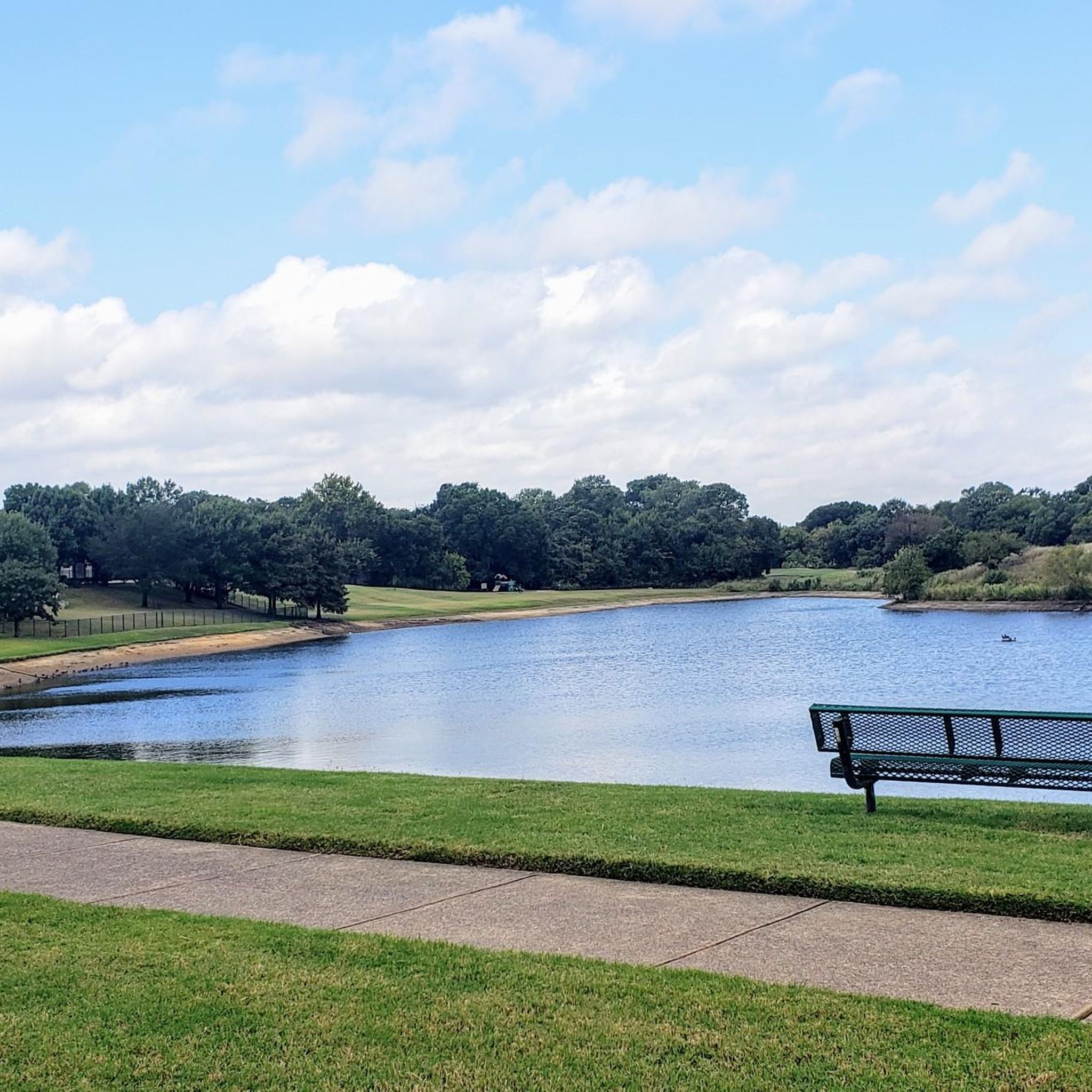
Embark on an easy hike along the Capp Smith Park Trail, a paved loop that offers a relaxing outdoor experience. You will cover 1.3 miles (2.1 km) with a gentle elevation gain of just 20 feet (6 metres), taking about 32 minutes to complete. The route circles a picturesque six-acre pond, providing open views of the water throughout your walk. This accessible path is perfect for a leisurely stroll, allowing you to enjoy the natural setting without any strenuous climbs.
Planning your visit to Capp Smith Park is straightforward, as the area is easily accessible. You will find plenty of parking available right at the park. The trail is well-equipped with amenities like picnic spots and benches, perfect for a break or a meal outdoors. Since the path is lighted, you can comfortably enjoy your hike during various times of the day, from morning to evening.
The central feature of this trail is the beautiful spring-fed pond, which supports a vibrant ecosystem. As you hike, keep an eye out for diverse aquatic wildlife, including fish, turtles, and various bird species like ducks that frequent the water. This park is considered the 'crown jewel' of Watauga's park system, making it a notable spot for local outdoor enjoyment.
1
hikers
2.21km
00:34
0m
10m
Embark on an easy hike along the Whites Branch Creek Trail, a peaceful escape offering lush green areas and natural beauty. This short route spans 1.4 miles (2.2 km) with a minimal elevation gain of just 12 feet (4 metres), making it accessible for a quick outdoor activity. You can expect tranquil views as the path likely follows Whites Branch Creek, providing a refreshing break from urban surroundings. The entire journey takes approximately 33 minutes to complete, perfect for a leisurely stroll. It connects Whites Branch Park and Buffalo Ridge Park, with Whites Branch Park featuring playgrounds and picnic pavilions.
Planning your visit to the Whites Branch Creek Trail is straightforward, as the route is well-maintained and easily accessible for hikers. You will find multiple parking lots conveniently located near the trailheads, ensuring easy access. Restrooms and drinking water stations are also available along the way for your comfort. Additionally, sections of the trail are wheelchair-friendly, making it a welcoming destination for all visitors.
This trail stands out in the Fort Worth, Watauga, and Haltom City areas of Texas as a prime example of urban green space. It offers a unique opportunity to connect with nature without venturing far from the city. The route's gentle terrain and short length make it an ideal choice for families or anyone seeking a brief, refreshing outdoor experience. Consider exploring this trail for a dose of natural tranquility within a bustling metropolitan setting.

Sign up for free
1
hikers
1.55km
00:24
0m
0m
Embark on an easy hike along the Fossil Creek Red Trail, a pleasant route that winds for 1.0 miles (1.6 km) through areas with good tree cover. You'll encounter many twists and turns as you make your way to the creek bed, gaining a minimal 12 feet (4 metres) in elevation. This short adventure typically takes around 23 minutes, offering a quick escape into nature. Along the way, you'll cross a bridge that provides a nice viewpoint of the water below, adding to the scenic charm of your walk.
Accessing the Fossil Creek Red Trail is straightforward, with convenient parking facilities available directly at Fossil Creek Park. This route is part of a larger network of interconnecting loops, giving you the option to extend your hike if you wish to explore further. The trail is known for being both family friendly and dog friendly, so feel free to bring your loved ones along for this accessible outdoor experience.
The trail leads you to the creek bed where you can observe fascinating rock formations and bio-turbation, which are ancient fossilized burrows. These unique geological features are what give Fossil Creek its distinctive name. The tree cover provides a pleasant experience even on warmer days, making it an ideal spot for a refreshing short hike.
2.20km
00:33
0m
0m
The Colleyville Nature Center Trail offers an easy hike through diverse landscapes, perfect for a quick escape into nature. You will find yourself walking under a dense canopy of mature trees like post oak and pecan, providing ample shade as you explore the woodlands and wetlands. This pleasant route is 1.4 miles (2.2 km) long, with a minimal elevation gain of just 6 feet (2 metres), making it accessible for all skill levels and typically completed in about 33 minutes. Keep an eye out for the distinctive boardwalk that guides you over wetlands, offering unique views of the natural surroundings.
Planning your visit is straightforward, as the Colleyville Nature Center is well-equipped for guests. You will find practical amenities such as restrooms, a covered pavilion, and a playground, making it an ideal spot for family activities. Parking is readily available on-site, ensuring easy access to the trail system. You can choose to follow the main path or combine shorter loops for a slightly longer journey, all on consistently well-maintained trails.
This route stands out for its rich natural environment, featuring nine scenic ponds that attract a variety of wildlife. As you hike, you might spot ducks, turtles, and numerous bird species like kingfishers and herons, adding to the tranquil atmosphere. The center's focus on preserving these diverse ecosystems makes it a notable destination for experiencing local flora and fauna within the region.
30.2km
07:44
110m
120m
Hike the difficult 18.8-mile Cotton Belt Trail in Texas, featuring diverse scenery, parks, and active rail lines.
Get access to more routes and recommendations from other explorers.
Sign up for free
Already have an account?
Our route recommendations are based on thousands of hikes, rides, and runs completed by other people on komoot.
Start today with a free account
Your next adventure awaits.
Login or Signup

Tips from the Community

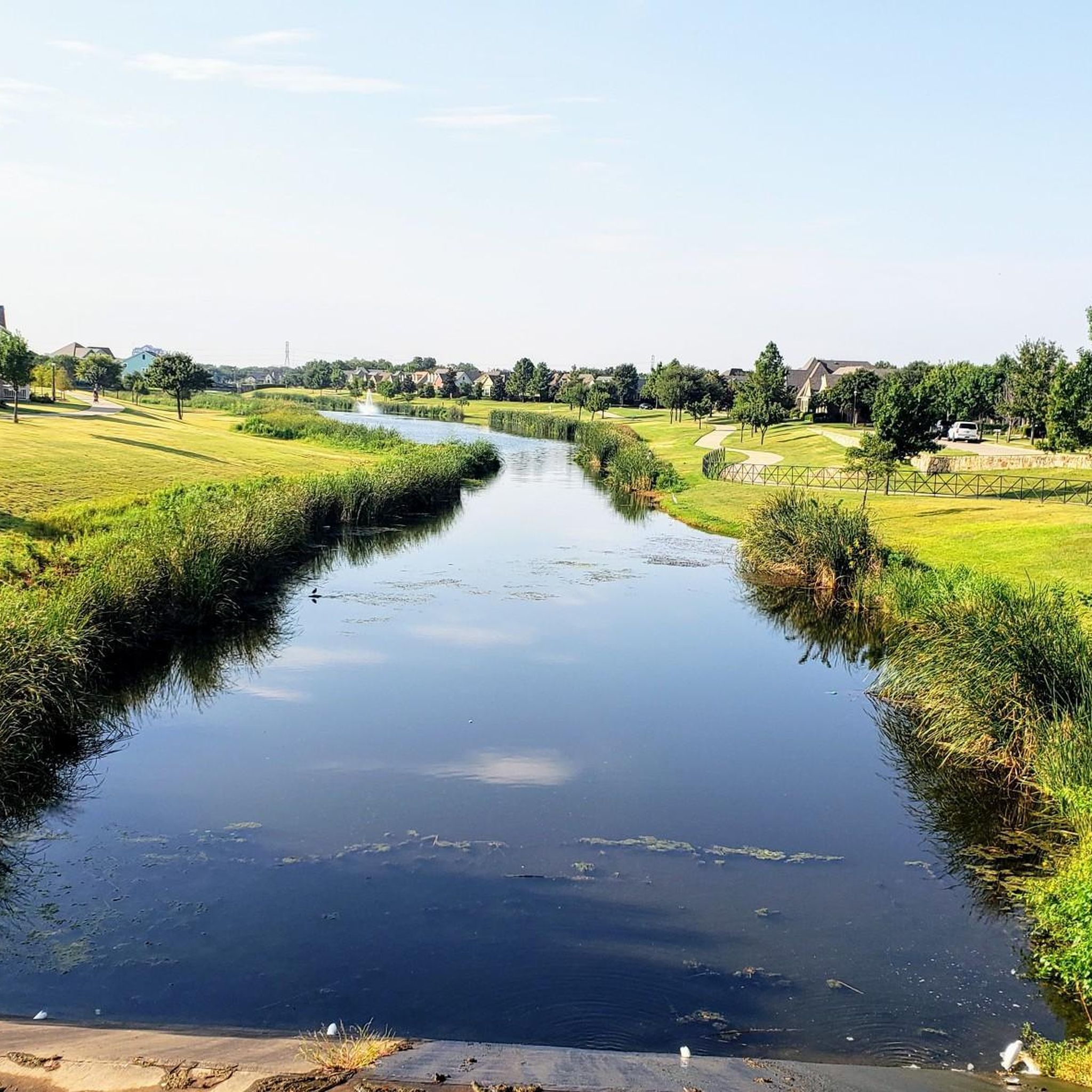
This 20-acre park is exceptionally kid-friendly, featuring two playgrounds, a sprayground (water park playground), and picnic pavilions. The trail connecting this park and Buffalo Ridge Park winds through a lush green area, providing picturesque views of the Fort Worth area.
0
0
Frequently Asked Questions
Are there many easy, beginner-friendly hikes in North Richland Hills?
Yes, the area is excellent for beginners. The terrain is mostly flat, and the majority of the trails are rated as easy. A great example is the Walker's Creek Park loop, which is a gentle and short walk through a pleasant local park.
Can I take my dog on the trails?
Dogs are generally welcome on trails in and around North Richland Hills, provided they are kept on a leash. Many of the city parks are dog-friendly. For a more extensive hike with your pet, Cedar Ridge Preserve is a popular, highly-rated option nearby where leashed dogs are permitted on the trails.
Are there paved trails suitable for strollers or wheelchairs?
Absolutely. Many of the trails within the NRH Trails system are paved, making them ideal for strollers and wheelchairs. The Arcadia Trail loop is a fully paved greenway with very little elevation change, offering a smooth and accessible experience.
What are some good places for family hikes with kids?
For a family-friendly outing, look for parks with playgrounds and easy trails. Linda Spurlock Park is a great choice, featuring a walking trail around a pond and a playground. Adventure World Playground is another local favorite that combines excellent play structures with walking paths.
Are there any hiking trails with water views?
Several trails offer pleasant water views. Many paths, like the one in Linda Spurlock Park, run alongside local ponds and creeks. For a route that follows a larger waterway, the Trinity Trails via River Trails Park hike provides views of the West Fork Trinity River.
Where can I find a longer loop trail for a more substantial walk?
If you're looking for a bit more distance, the Whites Branch Park loop via Buffalo Ridge Park is a good option. At around 3.7 miles (6 km), it connects two parks and offers a longer continuous walk than many of the shorter park circuits.
Are there any waterfalls on the hiking trails near North Richland Hills?
The landscape around North Richland Hills is generally flat, so natural waterfalls are not a feature of the local trails. The hikes in this area are better known for their pleasant parkland scenery, creek-side paths, and quiet wooded sections.
What should I wear for hiking in the North Texas area?
Wear light, moisture-wicking clothing, especially during the warmer months from spring through fall. Comfortable walking shoes or trail runners are sufficient for most paths. Always bring a hat, sunglasses, and sunscreen, as many trails have limited shade. In winter, layering is key to adapt to changing temperatures.
What is the best time of year to hike around North Richland Hills?
The best times to hike are during the spring and fall when temperatures are mild and pleasant. Summers can be very hot and humid, so if you hike then, go early in the morning or late in the evening and carry plenty of water. Winter offers cool, crisp weather perfect for hiking, though you'll want to dress in layers.
Where can I find more rugged, unpaved trails?
For a more natural trail surface, check out the Fossil Creek Park MTB Trail. While designed for mountain biking, it's also popular with hikers looking for an unpaved, single-track experience. It's considered a well-maintained trail suitable for those new to dirt paths.
How do other hikers rate the trails in North Richland Hills?
The area is well-regarded by the komoot community, with an average rating of 3.7 stars. Hikers often praise the accessibility of the parks and the well-maintained paved paths that make it easy to get outdoors within the city.
Where can I park to access the trails?
Most trails are located within city parks that provide dedicated parking lots. For example, to walk the Cross Timbers Park loop, you can park at the lots within Cross Timbers Park. Similarly, Walker's Creek Park and Linda Spurlock Park have their own parking areas close to the trailheads.
Most popular routes around North Richland Hills
Most popular attractions around North Richland Hills

Get inspired with the komoot mobile app


Explore more
Browse the best Hikes in other regions.
