The best running trails around Custer
2.0
(1)
67
runners
11
runs
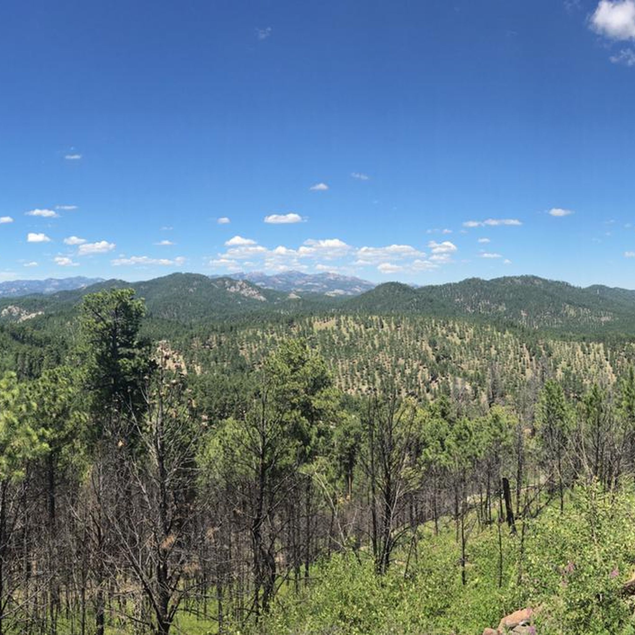
Jogging around Custer offers diverse terrain within the Black Hills National Forest and Custer State Park. The region is characterized by granite peaks, rolling plains, and dense pine forests, providing varied landscapes for running. Features like Sylvan Lake, encircled by granite spires, and numerous trails through rugged environments define the area's natural composition. This setting provides a range of running experiences, from challenging mountain ascents to more accessible forest paths.
Best jogging routes around Custer
- The most popular jogging route is Black Elk Peak Loop: South Dakota Highpoint run, a 7.2 miles (11.5 km) trail that takes 1 hour 34 minutes to complete. This difficult route leads to the highest point in South Dakota, offering panoramic views.
- Another top favourite among local runners is George S. Mickelson Trail, a difficult 17.5 miles (28.2 km) path. This section of the multi-use trail winds through the Black Hills National Forest, featuring tunnels and scenic vistas.
- Local runners also love the Sunday Gulch Trail, a 3.9 miles (6.3 km) trail leading through granite formations and boulders, often completed in about 44 minutes.
- Jogging around Custer is defined by granite peaks, dense pine forests, and rolling plains. The network offers options for various ability levels, from moderate forest paths to difficult high-elevation runs.
- The routes in Custer are highly rated by the komoot community with an average score of 2.0 stars from over 1 review. More than 65 runners have used komoot to explore Custer's varied terrain.
Last updated: August 3, 2026
35
runners
11.5km
01:34
400m
400m
The Black Elk Peak Loop is a truly spectacular, albeit difficult, trail running experience that takes you to the highest point in South Dakota. Over 7.2 miles (11.5 km) with 1326 feet (404 metres) of elevation gain, you'll traverse varied terrain from shaded ponderosa pine forests to exposed granite formations like the Cathedral Spires, culminating in panoramic views from Black Elk Peak itself. Expect a challenging run, as continuous jogging is often interrupted by rocky sections, steep climbs, and even staircases, making it a true test of endurance that typically takes around 1 hour and 34 minutes. This route is ideal for experienced runners seeking a rugged adventure and stunning Black Hills scenery.
Planning your visit requires preparation, especially given the Black Elk Peak Loop's difficulty and altitude. The trail starts near Sylvan Lake, a popular access point, so arrive early to secure parking during peak season. Be sure to carry ample water, as the climb is sustained and exposed in parts. The summit can be significantly colder and windier than the base, so pack layers of clothing, even on warm days. While no specific permits are mentioned, checking local conditions for weather and trail closures is always a good idea before heading out.
This loop isn't just a physical challenge; it's a journey through a landscape rich in natural and cultural significance. Black Elk Peak, at 7,242 feet, is the highest point in the United States east of the Rocky Mountains, offering distant views into Wyoming, Montana, and Nebraska on clear days. At the summit, you'll find a historic stone fire lookout tower, providing additional viewpoints and shelter. The peak also holds deep spiritual meaning for the Lakota people, named after the revered Oglala Sioux medicine man, Black Elk, who had a vision on its summit.
2.0
(1)
10
runners
6.29km
00:44
200m
200m
If you're looking for a truly unique and challenging experience in the Black Hills, the Sunday Gulch Trail delivers. This 3.9-mile (6.3 km) route, with 661 feet (202 metres) of elevation gain, is officially rated as moderate for jogging with an estimated duration of 44 minutes, but don't be fooled; it's far more of a strenuous, 'hands-on' hike than a typical run. You'll scramble over boulders, navigate steep rock steps, and use metal handrails through narrow passages, all while surrounded by towering granite formations and the sounds of a gurgling creek.
Starting near the iconic Sylvan Lake Dam, the trail immediately immerses you in its distinctive environment. Be prepared for wet feet, as the path often runs directly through the creek, especially in wetter seasons. Parking can be busy near Sylvan Lake, so an early start is advisable. This trail is best suited for confident hikers who enjoy technical terrain and aren't afraid to get a little muddy.
The Sunday Gulch Trail stands out for its ancient geological features, with granite formations over two billion years old, and its immersive wilderness feel. It's a popular choice within Custer State Park for those seeking a blend of scenic beauty and a physically engaging adventure, offering a natural slot canyon-like experience that's unlike many other trails in the region. It's a fantastic alternative to more generic jogging routes if you're up for a real challenge.

Sign up for free
3
runners
28.2km
03:26
210m
210m
Prepare for a difficult jogging challenge on the George S. Mickelson Trail, covering 17.5 miles (28.2 km) with an elevation gain of 682 feet (208 metres). This route typically takes about 3 hours and 25 minutes to complete. You will jog through the varied landscapes of the Black Hills National Forest, where towering pines give way to rugged canyons and expansive meadows. The trail offers a unique experience as you pass through historic railway tunnels and over converted railroad bridges. Don't miss the chance to see the Painted Bison Sculpture in Custer as you make your way along the path.
Planning your visit to the George S. Mickelson Trail is straightforward, with 15 established trailheads available. These trailheads provide convenient amenities such as parking, vault toilets, and tables for your comfort. Remember that a trail pass is required for all users aged 12 and older before you start your jog. The trail is open year-round, giving you flexibility to plan your outing whenever suits you best.
This trail is notable for its rich history, having been converted from an old railway line, which explains the tunnels and bridges you will encounter. As you jog, you might spot local wildlife like deer and turkeys, adding to the natural charm of the Black Hills. The George S. Mickelson Trail provides a challenging yet rewarding experience, allowing you to connect with both nature and the region's past.
2
runners
4.34km
00:34
150m
150m
The Little Devil's Tower Trail offers a dynamic jogging experience through Custer State Park, transitioning from serene creek-side paths to a thrilling rock scramble at the summit. You'll pass through picturesque granite formations and lush forests filled with quaking aspen and spruce, with sparkling mica and quartz underfoot. The highlight is undoubtedly the 360-degree panoramic views from Little Devil's Tower, showcasing the iconic Needles and Black Elk Peak.
This moderate 2.7-mile (4.3 km) route, with 489 feet (149 metres) of elevation gain, can be completed in about 34 minutes for a dedicated jogger, though the final scramble will slow your pace. Sturdy shoes are essential for the rock scramble, especially if you plan to reach the very top. While the initial sections are great for trail running, the summit push is best tackled with careful footing.
What makes this trail truly special is its ability to deliver spectacular views comparable to Black Elk Peak, often with fewer crowds. It's a fantastic option for those who enjoy a varied terrain and a rewarding challenge, and it can even be combined with the nearby Cathedral Spires Trail for a longer adventure. Consider a sunset jog for an unforgettable experience.
2.34km
00:20
150m
150m
The Cathedral Spires Trail run offers a unique and dramatic experience, winding through Ponderosa pine and spruce forests before revealing towering granite spires. This moderate 1.5-mile (2.3 km) route, with 499 feet (152 metres) of elevation gain, takes about 20 minutes and is best approached as a run-hike due to its varied terrain of dirt, rocks, and stairs. You'll be treated to close-up views of these ancient geological formations, making it a high-reward effort for its length.
Planning your visit means preparing for a high-elevation environment where storms can appear quickly. There are no services like water or restrooms on the trail, and cell service is spotty. Parking for the Cathedral Spires Trail run can be limited, especially during busy times, so arriving early is a smart move to ensure you get a spot and beat the crowds.
The granite spires themselves are a registered National Natural Landmark, making this trail a primary draw for anyone visiting Custer State Park. Beyond the stunning scenery, the route is a spur trail that connects to the Little Devils Tower Trail and the extensive system leading to Black Elk Peak, offering options for longer adventures if you're looking to extend your day.
Get access to more routes and recommendations from other explorers.
Sign up for free
Already have an account?
Our route recommendations are based on thousands of hikes, rides, and runs completed by other people on komoot.
Start today with a free account
Your next adventure awaits.
Login or Signup

Other adventures around Custer

Tips from the Community

The scenery is stunning. This hike is definitely worth the detour.
0
0

A truly beautiful lake to walk around. The trail is easy, though there's a bit of a climb and a narrow cliff.
3
0

You simply have to climb the top of this mountain; it is "the highest" in South Dakota at 2207m, and it is also a pleasant path without any major pitfalls and as a "reward: 360° cinema". Warning: parking costs (this year) 20 dollars per car.
0
0

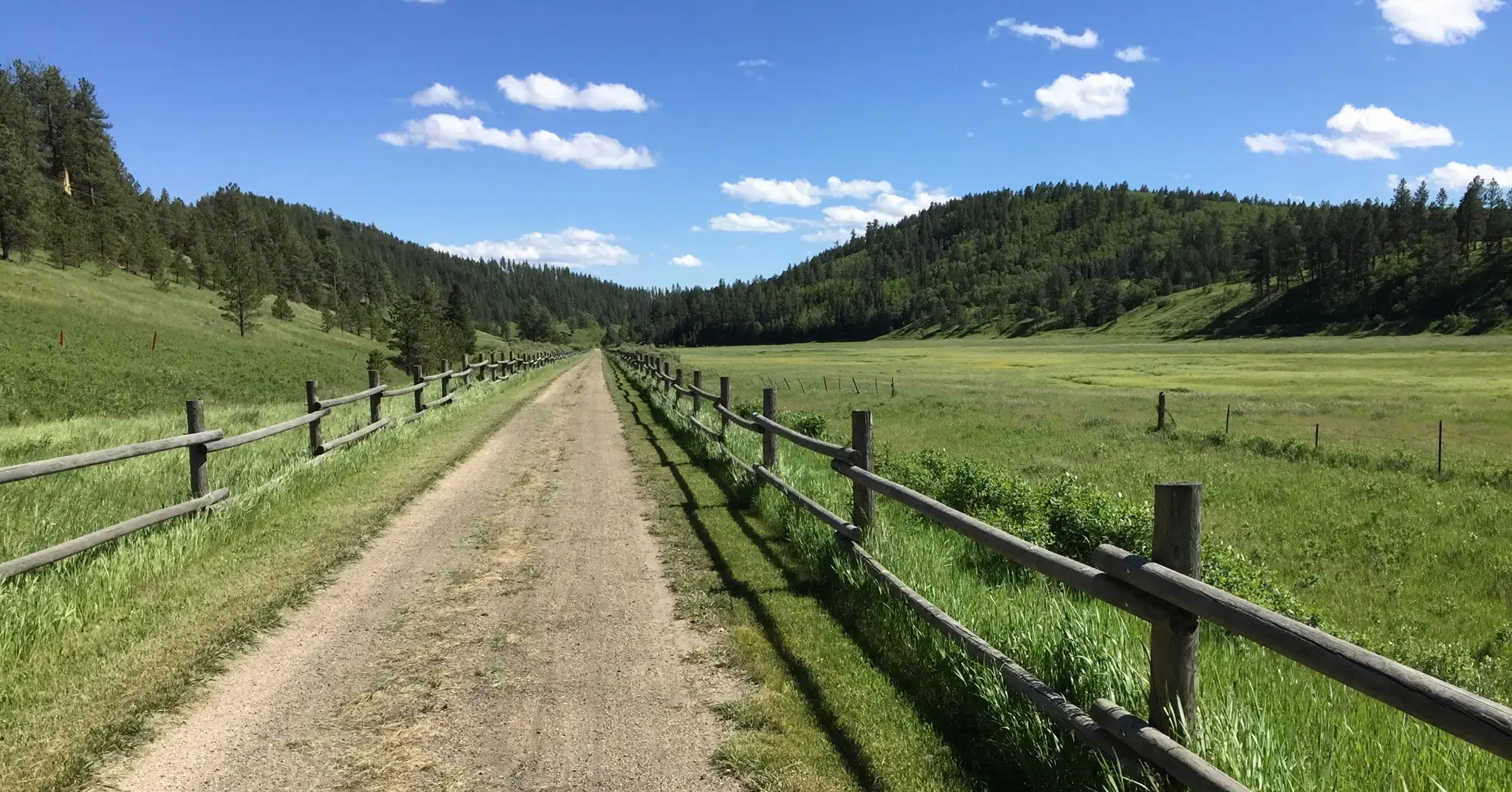
This is a long-distance multi-use trail running for 113 miles all the way from Deadwood to Edgemont. This section between Custer and the White Elephant Trailhead in Nihart is 8.5 miles long and well-maintained. Enjoy gorgeous views as you run through the heart of Black Hills National Forest.
0
0

Custer is in the heart of the Black Hills. On this commune, you will find a few kilometers to the north - by taking the Crazy Horse Memorial Highway - "The Thunderhead Mountain" where the monument to the memory of Crazy Horse is located. In response to the gigantic statues of the 4 faces of the American presidents: George Washington, Thomas Jefferson, Theodore Roosevelt and Abraham Lincoln on Mount Rushmore, an Austrian-born sculptor wanted to pay tribute to the famous Lakota warrior Tashunka Witko - Crazy Horse. He sculpts an entire mountain trying to represent the historical figure riding his horse. It has been more than 30 years that only the head has been carved. Suffice to say that this work will certainly never be finished. The site, by its gigantism is impressive. It is an incongruous visit to make.
0
0
At only 3 miles in length, Sunday Gulch Trail is not long, but some sections scrambling over boulders and crossing streams keep it demanding and stimulating. A great one to run in combination with the Sylvan Lake loop.
0
0

While being only 200 feet shorter than nearby Black Elk Peak, Little Devil's Tower is often left out by hikers in the area. Enjoy the panoramic view from the top over the Black Hills, Cathedral Spires and much more.
0
0
Even though you can already see the Cathedral Spires from the Needles Highway down below, it's another level to see them that close from the trail. The huge granite spires are rising hundreds of feet and belong to the largest rock faces in the Black Hills.
0
0
Frequently Asked Questions
How many running routes are available around Custer?
There are over 10 dedicated running routes around Custer, offering a variety of experiences within the Black Hills National Forest and Custer State Park. These routes range from easy paths to more challenging mountain ascents.
Are there easy running routes suitable for beginners or families in Custer?
Yes, Custer offers several accessible options. While many routes are moderate to difficult, you can find easier sections, such as the loop around Sylvan Lake, which is just over a mile long and perfect for a gentle jog. For more options, you can explore the 1 easy route and 6 moderate routes available on komoot.
Can I bring my dog on the running trails in Custer?
Many trails within the Black Hills National Forest and Custer State Park are dog-friendly, but regulations can vary. It's always best to check specific trail rules before heading out. Generally, dogs are welcome on a leash in most areas, but some sensitive wildlife areas or specific park trails might have restrictions. For general park information, you can visit the Custer State Park website.
Are there any circular running routes around Custer?
Yes, Custer offers several excellent circular routes. A notable one is the Black Elk Peak Loop: South Dakota Highpoint run, which is a challenging 7.2-mile loop leading to the highest point in South Dakota. Another option is the Sunday Gulch Trail, a 3.9-mile loop through granite formations.
What kind of scenic viewpoints or natural attractions can I expect along the running routes?
Custer's running routes are rich with natural beauty. You can expect stunning granite peaks and spires, dense pine forests, and rolling plains. Highlights include the dramatic formations along the Needles Highway, the serene beauty of Sylvan Lake, and the impressive Cathedral Spires viewpoint. Many trails also offer panoramic views, such as those from Little Devil's Tower.
What is the best time of year to go running in Custer?
The best time for running in Custer is typically from late spring through early fall (May to October) when the weather is most favorable. Summers are warm but generally pleasant, while spring and fall offer cooler temperatures and vibrant scenery. Winter running can be challenging due to snow and ice, especially on higher elevation trails.
Are there any less crowded running routes in Custer?
While popular spots like Sylvan Lake and Black Elk Peak can see more visitors, exploring trails earlier in the morning or later in the afternoon can help avoid crowds. The vastness of the Black Hills National Forest and Custer State Park means there are always quieter paths to discover. Consider trails slightly off the main tourist routes for a more solitary experience.
Where can I find parking for the running trails in Custer?
Most major trailheads in Custer State Park and the Black Hills National Forest, including those for Sylvan Lake, Black Elk Peak, and the George S. Mickelson Trail, offer designated parking areas. Some areas within Custer State Park may require a park entrance license. It's advisable to check specific trailhead information for parking availability and any associated fees.
What do other runners enjoy most about jogging in Custer?
The area is highly rated by the komoot community, with an average score of 2.0 stars. Runners often praise the diverse terrain, from granite peaks to dense pine forests, and the opportunity to encounter abundant wildlife, including bison and elk, especially along routes like the Wildlife Loop Road. The stunning natural beauty and varied landscapes make for a truly unique running experience.
Are there any longer, more challenging running routes in the Custer area?
Absolutely. For those seeking a challenge, the George S. Mickelson Trail offers a difficult 17.5-mile section near Custer, winding through the Black Hills National Forest with tunnels and scenic vistas. The Black Elk Peak Loop is another difficult option, covering 7.2 miles with significant elevation gain to South Dakota's highest point.
What kind of wildlife might I encounter while running in Custer?
Custer State Park is renowned for its abundant wildlife. Runners might encounter bison, elk, deer, antelope, bighorn sheep, and prairie dogs. The 18-mile Wildlife Loop Road, while primarily for driving, offers opportunities to see these animals, and many trails intersect with their habitats. Always maintain a safe distance and be aware of your surroundings.
Most popular attractions around Custer

Get inspired with the komoot mobile app


Explore more
Browse the best Running Trails & Routes in other regions.
