The 8 Most Amazing Peaks around Waldkirchen
Mountain peaks around Waldkirchen, located in the Bavarian Forest, offer access to notable natural features and panoramic views. The region is characterized by wooded mountains, providing opportunities for outdoor exploration. Prominent peaks like the Haidel and Oberfrauenwald contribute to the area's appeal for hikers and nature enthusiasts. These elevations provide diverse experiences within the southern Bavarian Forest.
Best mountain peaks around Waldkirchen
- The most popular mountain peaks is Haidel Observation Tower, a viewpoint that features a 35-meter-high observation tower.…
Last updated: October 4, 2026
Haidel Observation Tower
Highlight • Viewpoint
Translated by Google •
Tip by

Staffelberg Observation Tower
Highlight • Viewpoint
Translated by Google •
Tip by

Sign up now to discover places like this
Get recommendations on the best single tracks, peaks, & plenty of other exciting outdoor places.
Friedrichsberg Observation Tower
Highlight • Viewpoint
Translated by Google •
Tip by

Geistlicher Stein
Highlight • Summit
Translated by Google •
Tip by

Summit Cross Ruhmannsberg
Highlight • Summit
Translated by Google •
Tip by

Sign up for free to discover even more peaks around Waldkirchen.
Already have an account?
Start today with a free account
Your next adventure awaits.
Popular around Waldkirchen
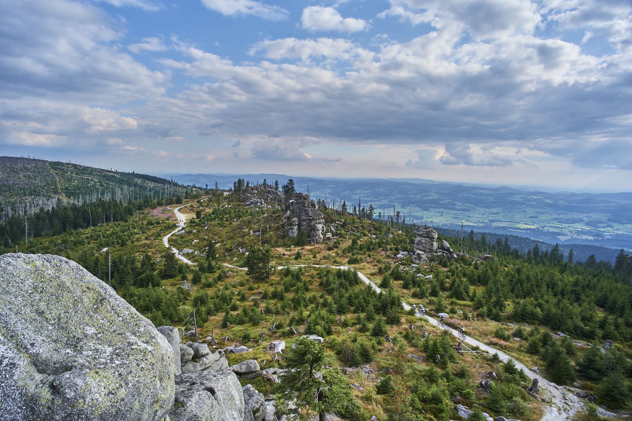
Trans Bayerwald – A mountain bike adventure through Bavaria's finest nature
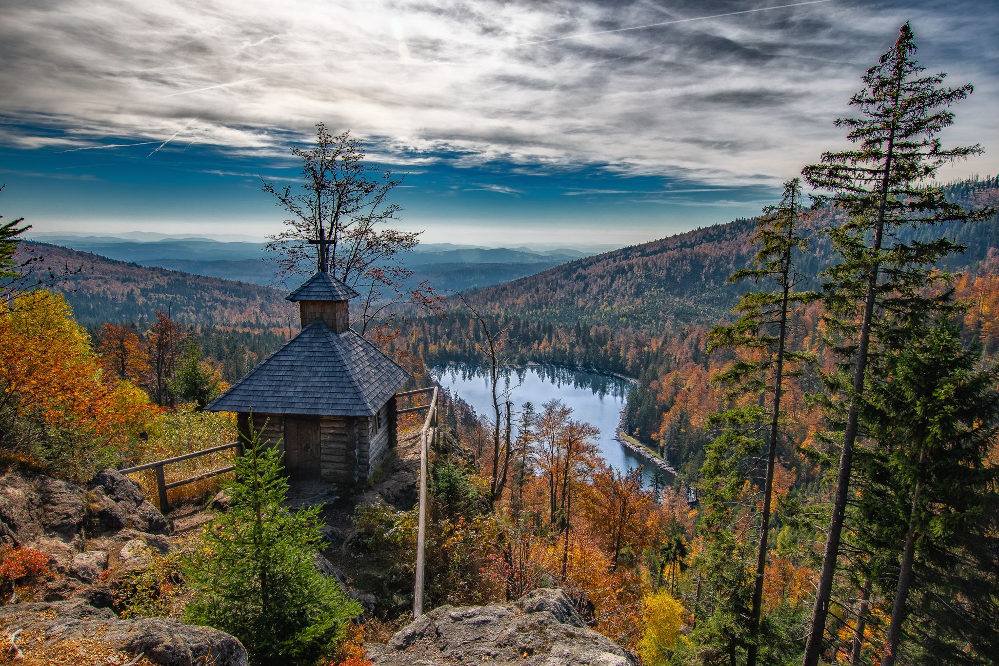
Diverse hiking in the Bavarian Forest National Park
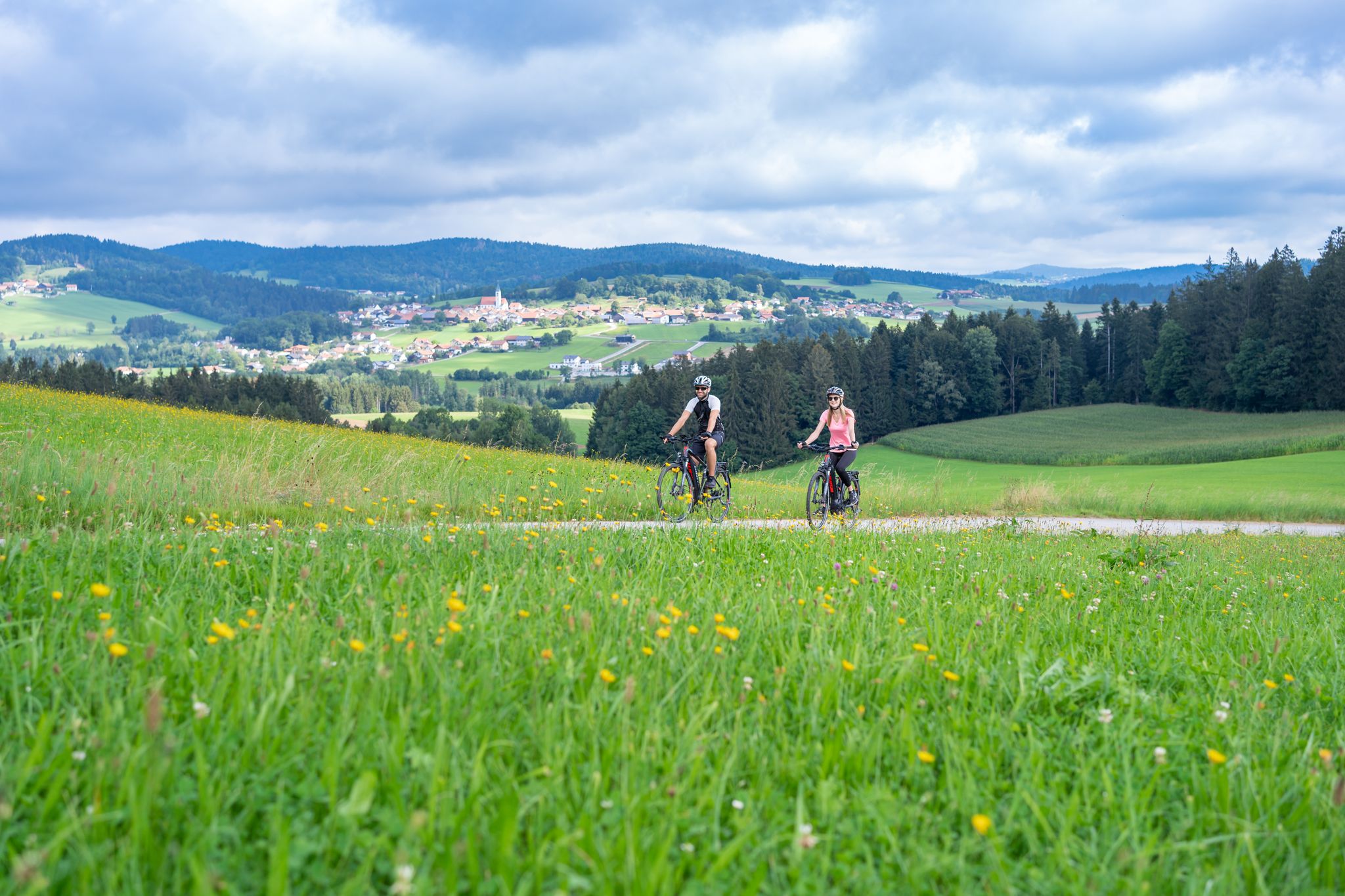
Radtouren zwischen Donau und Moldau - unterwegs im Bayerischen Wald
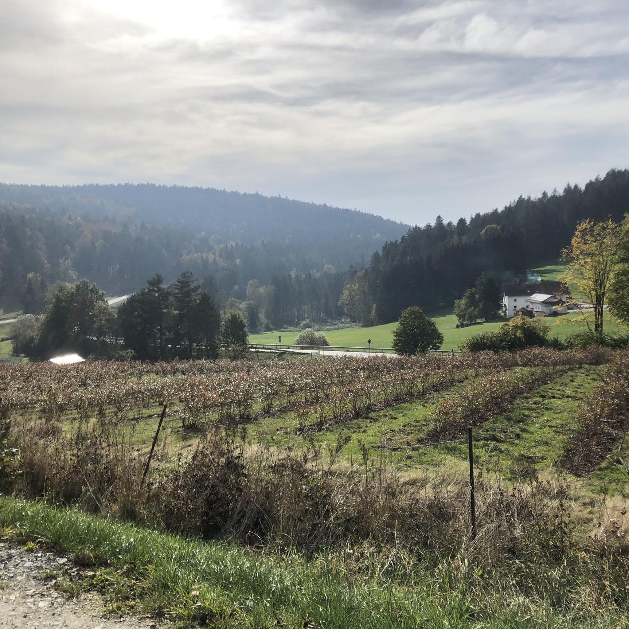
Hiking around Waldkirchen
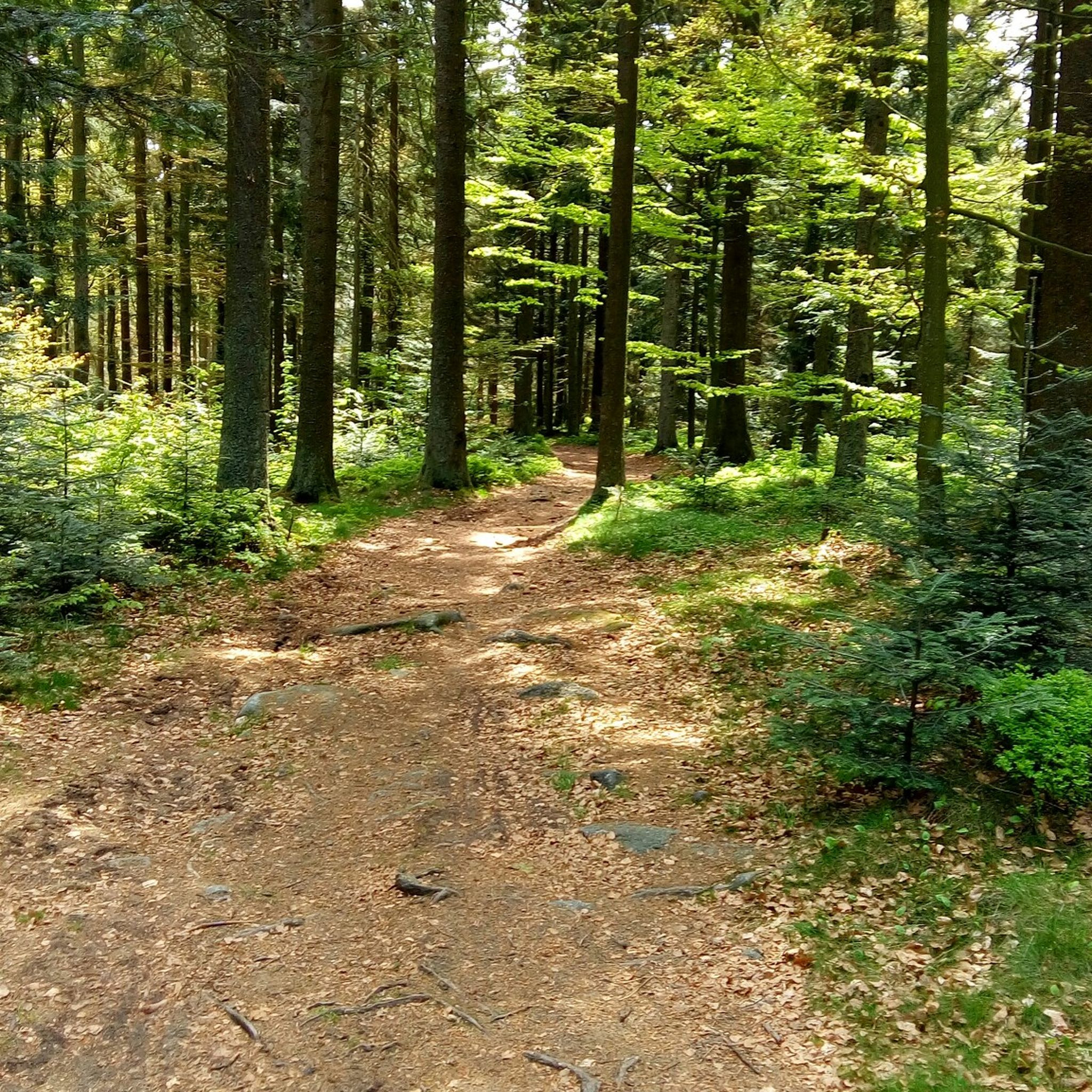
Cycling around Waldkirchen
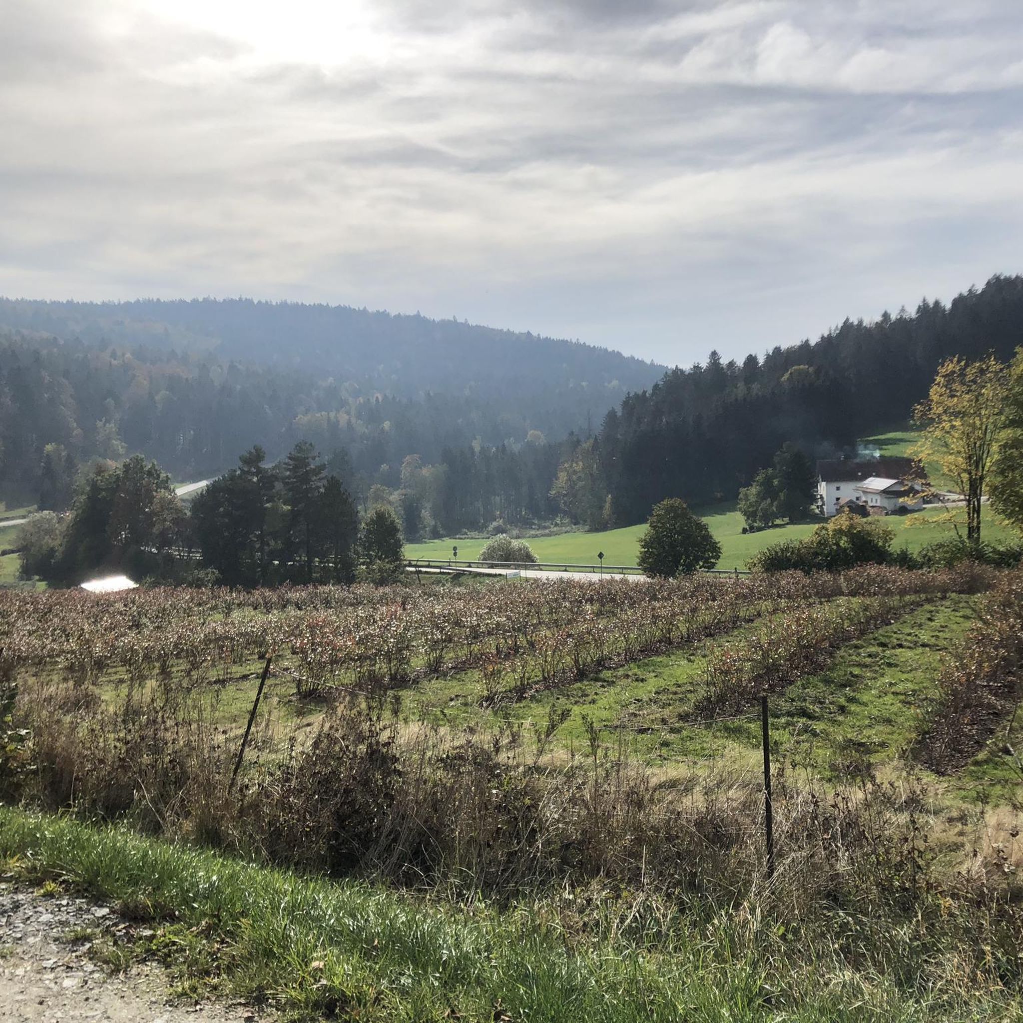
MTB Trails around Waldkirchen
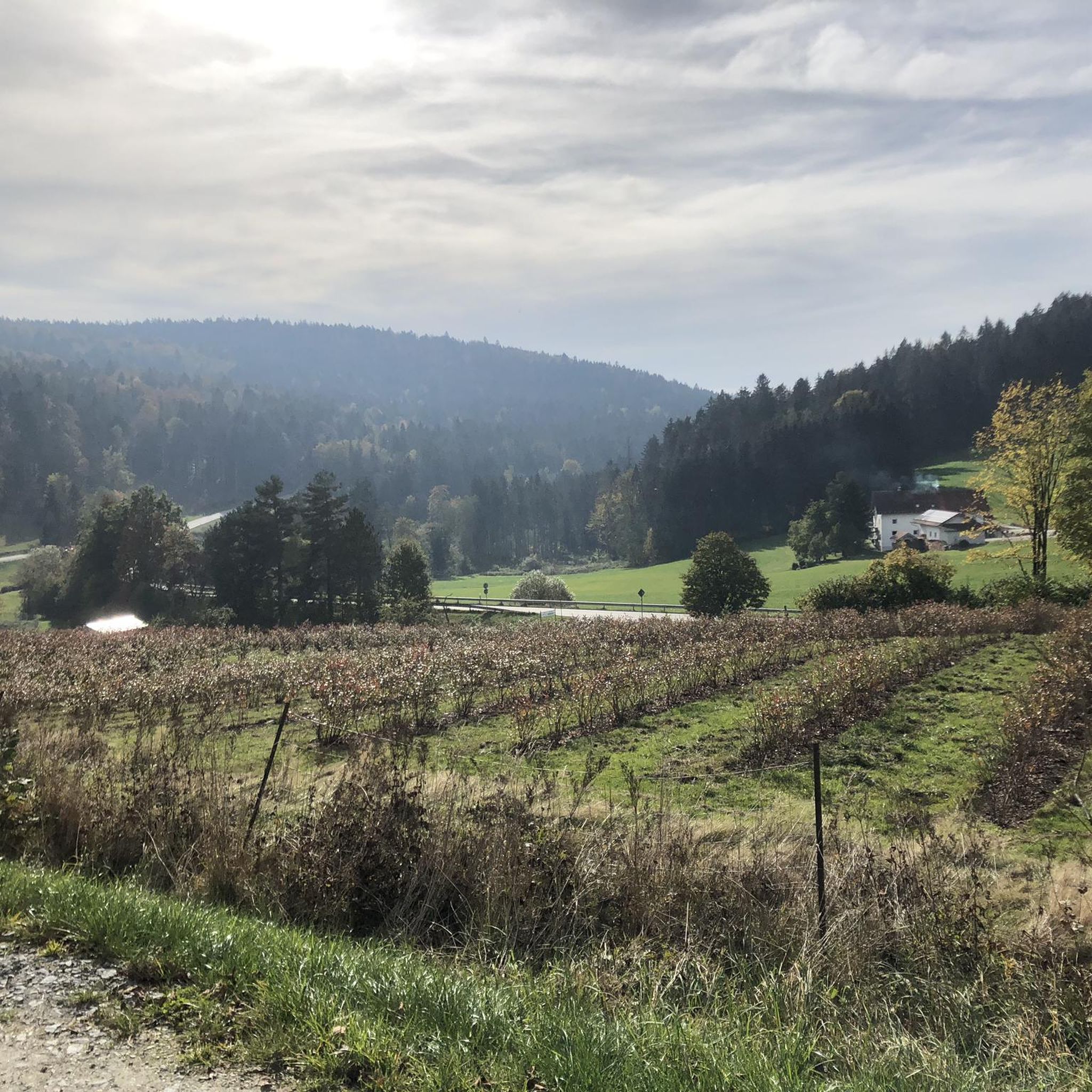
Running Trails around Waldkirchen
Road Cycling Routes around Waldkirchen
Gravel biking around Waldkirchen
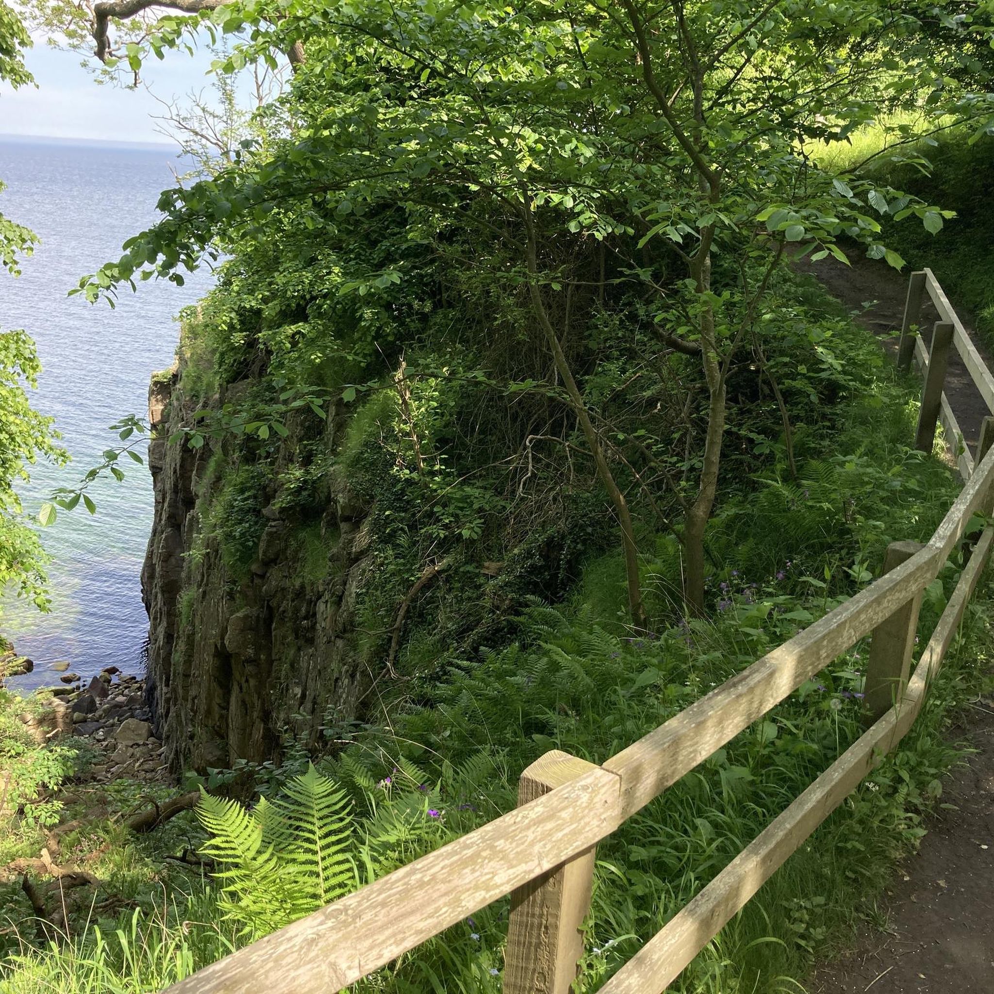
Mountain Hikes around Waldkirchen
Other adventures around Waldkirchen


Tips from the Community

The summit cross of the Ruhrmannsberg is very idyllic in the forest. To the right is a small box with a summit book where you can sign in. Very beautiful there, in the middle of the forest with a small bench in front of the cross.
0
0


The Geistlicher Stein (Spiritual Stone) of Ringelai: A Valuable Geotope At the Geistlicher Stein, several imposing rock cliffs, rising up to 40 meters from the slope, offer a beautiful view to the southwest into the valley basin of Ringelai. The rocks, composed of granitic-granodioritic dark diatexites ("palites": tectonically deformed rocks of the mylonite zone in the vicinity of the Pfahl fault zone), exhibit distinctive spheroidal weathering. The rock here has a granitic habit. Numerous large feldspar crystals are embedded in a coarse-grained matrix. Bavarian State Office for the Environment (LfU). https://www.umweltatlas.bayern.de/standortauskunft/rest/reporting/sb_geotope/generate?additionallayerfieldvalue=272R029
0
0
Summit of the Ruhmannsberg > a geotope The summit of the Ruhmannsberg is formed by a small rock cliff made of amphibolite. Two different varieties are exposed: a fine-grained and a coarse-grained amphibolite, which are interwoven with each other. In some cases, the rocks also have a single-layer appearance with light and dark bands. Basic volcanic rocks are possible parent rocks for the amphibolites. A rib of fine-grained granite is exposed just a little north of the summit. Bavarian State Office for the Environment (LfU). https://www.umweltatlas.bayern.de/standortauskunft/rest/reporting/sb_geotope/generate?additionallayerfieldvalue=275A022
1
0

Several hiking trails lead to the summit of Friedrichsberg. A popular route starts in Wegscheid and leads steadily uphill over meadow and forest paths. For a shorter hike, you can start in Thalberg; from there it is about 1 to 2 kilometers to the observation tower.
2
0
The Haidel is a 1,167 meter high mountain in the Bavarian Forest. On its summit there is a 35 meter high observation tower that offers an impressive panoramic view of the Bavarian-Bohemian border regions all the way to the Alps. The observation platform is 30.33 meters high and can be reached via 159 steps.
6
0

Very nice view, but if you climb on the rocks you should not be afraid of heights and should not be afraid of heights. A little further up there is also a wooden bench with a table.
0
0
Frequently Asked Questions
What makes the Haidel mountain a popular destination near Waldkirchen?
The Haidel Observation Tower on Haidel mountain is a major draw. Standing at 1,167 meters, its 35-meter-high observation tower offers exceptional panoramic views across the Bavarian-Bohemian border regions, and even to the Alps on clear days. The ascent to the tower, via 159 steps, is highly recommended for these fantastic vistas.
Are there other observation towers offering great views around Waldkirchen?
Yes, besides the Haidel, you can visit the Staffelberg Observation Tower, located on a striking, pyramid-shaped elevation. Although the ascent can be challenging on loose ground, a new lookout tower provides rewarding views. Another option is the Friedrichsberg Observation Tower, which is known as the highest point in the Passau district and offers expansive views along with informative historical explanations.
What kind of hiking experiences can I expect on the Oberfrauenwald mountain?
The Oberfrauenwald, at 947.7 meters, is a wooded mountain offering serene landscapes in the southern Bavarian Forest. It's a highlight on various hiking routes, including sections of the Goldsteig trail. You can find challenging MTB routes that pass by the Oberfrauenwald, such as the Erlauzwieseler Reservoir – Oberfrauenwald Observation Tower loop from Waldkirchen.
Are there any historical or unique natural features among the peaks near Waldkirchen?
Yes, the Oberfrauenwald mountain derives its name, meaning 'wood of the nuns,' from a historical land grant to the convent of Niedernburg in Passau in 1010. Additionally, the Geistlicher Stein, at 731 meters, is the highest elevation in the Ringelai municipality and is steeped in local legend, said to have offered protection during the Swedish wars. The summit of Ruhmannsberg features a unique geotope with a small rock cliff made of amphibolite.
What are some family-friendly options for exploring the mountain peaks around Waldkirchen?
For families, the Haidel Observation Tower is a great choice, as it's categorized as family-friendly and offers an accessible way to enjoy panoramic views. The Friedrichsberg Observation Tower is also noted as family-friendly. While some ascents can be challenging, many trails around these peaks are suitable for families looking for outdoor adventures.
Can I bring my dog on the hiking trails around Waldkirchen's mountains?
Generally, dogs are welcome on most hiking trails in the Bavarian Forest, including those around Waldkirchen's peaks. However, it's always advisable to keep your dog on a leash, especially in nature reserves, near wildlife, or when passing through populated areas or farmlands, to ensure safety and respect for the environment and other visitors.
What is the best time of year to visit the mountain peaks around Waldkirchen for hiking?
The spring and autumn months are ideal for hiking around Waldkirchen's peaks. In spring, you'll experience blooming nature and pleasant temperatures. Autumn offers stunning foliage colors and crisp air, perfect for clear views from observation towers. Summer is also popular, though trails can be busier. Winter hiking is possible, but requires appropriate gear and awareness of snow and ice conditions.
Are there easy hiking trails available near the mountain peaks for beginners or casual walkers?
Yes, there are several easy hiking options around Waldkirchen. For instance, you can explore routes around the Erlauzwieseler Reservoir, such as the Erlauzwieseler Reservoir – Lake Erlauzwiesel loop from Waldkirchen. These trails offer gentle terrain suitable for beginners or those looking for a relaxed walk with scenic views.
What other outdoor activities can I do near the mountain peaks around Waldkirchen?
Beyond hiking, the region offers excellent opportunities for cycling and mountain biking. You can find various routes, including challenging MTB trails like the Dreisesselhaus Mountain Inn – Haidel Observation Tower loop from Waldkirchen, or scenic cycling tours such as the Adalbert-Stifter Cycle Path loop from Waldkirchen. These guides provide detailed information on routes for different skill levels.
Where can I find parking facilities when visiting the mountain peaks?
Parking facilities are generally available near the trailheads for popular peaks like Haidel and Oberfrauenwald. Specific parking locations can vary, so it's recommended to check detailed route descriptions or local signage upon arrival. For areas like the Saußbachklamm Gorge, which is often part of hiking routes, designated parking areas are usually provided for visitors.
What do visitors enjoy most about the mountain peaks around Waldkirchen?
Visitors particularly appreciate the exceptional all-round visibility from observation towers like the Haidel Observation Tower, with views extending to the Alps on clear days. The serene, wooded landscapes of the southern Bavarian Forest, the diverse hiking opportunities, and the rewarding views from summits like the Geistlicher Stein are also highly valued by the komoot community.
Are there any challenging mountain hikes for experienced trekkers near Waldkirchen?
Yes, experienced trekkers can find challenging routes around Waldkirchen. For example, the ascent to the Staffelberg Observation Tower involves a 20% incline on loose ground, offering a strenuous but rewarding climb. Many of the MTB trails in the region, such as those listed in the MTB Trails around Waldkirchen guide, are also rated as difficult and provide a significant physical challenge.
Most popular routes around Waldkirchen
Most popular attractions around Waldkirchen

Get inspired with the komoot mobile app


Explore more
See even more amazing summits around Waldkirchen with these guides:
