The best gravel rides around Waldkirchen
4.8
(32)
225
riders
46
rides
Gravel biking around Waldkirchen offers diverse terrain within the Bavarian Forest, characterized by extensive woodlands, river valleys, and numerous lakes. The region provides a network of routes that combine asphalted secondary roads with firm sand and gravel paths. Cyclists can navigate varied landscapes, from gentle paths to trails with significant ascents. This area is part of a larger cycling network, providing extensive exploration opportunities.
Best gravel bike trails around Waldkirchen
- The most popular gravel bike trail is Adalbert-Stifter Cycle Path…
Last updated: July 29, 2026
4.6
(8)
39
riders
Hard gravel ride. Very good fitness required. Mostly paved surfaces. Suitable for all skill levels.
4.7
(3)
8
riders
Hard gravel ride. Very good fitness required. Mostly paved surfaces. Suitable for all skill levels.

Sign up for free
5.0
(1)
13
riders
20.6km
01:36
210m
210m
Moderate gravel ride. Good fitness required. Mostly paved surfaces. Suitable for all skill levels.
5.0
(1)
12
riders
37.3km
02:36
500m
500m
Hard gravel ride. Very good fitness required. Mostly paved surfaces. Suitable for all skill levels.
10
riders
29.6km
01:55
360m
360m
Moderate gravel ride. Good fitness required. Mostly paved surfaces. Suitable for all skill levels.
Get access to more routes and recommendations from other explorers.
Sign up for free
Already have an account?
Our route recommendations are based on thousands of hikes, rides, and runs completed by other people on komoot.
Start today with a free account
Your next adventure awaits.
Login or Signup
Popular around Waldkirchen
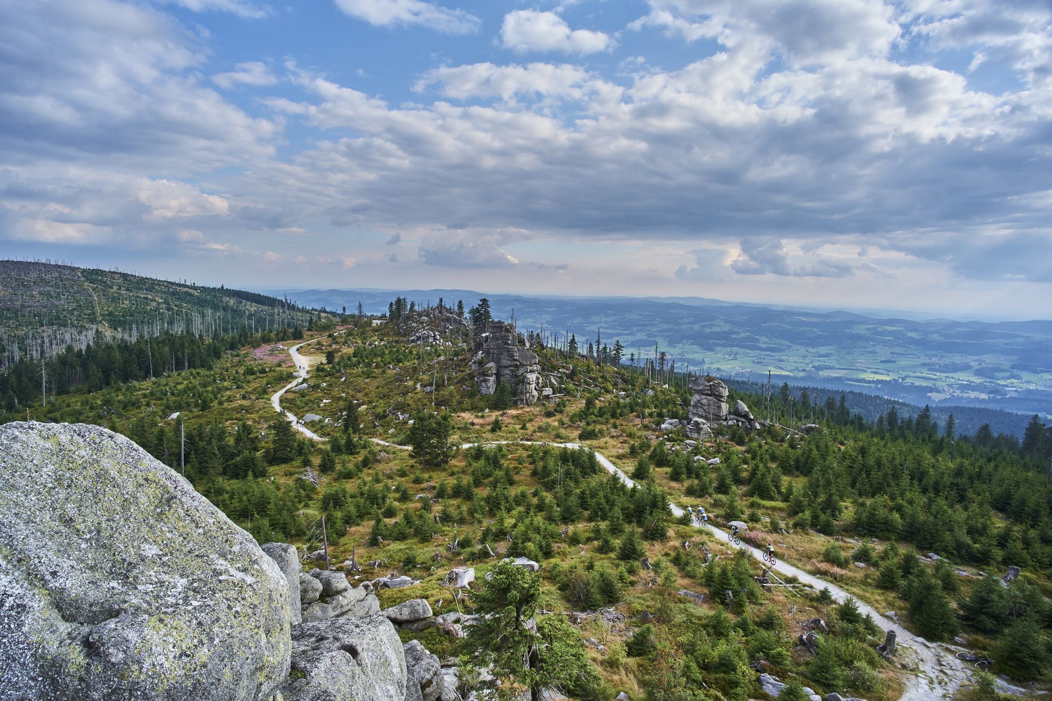
Trans Bayerwald – A mountain bike adventure through Bavaria's finest nature
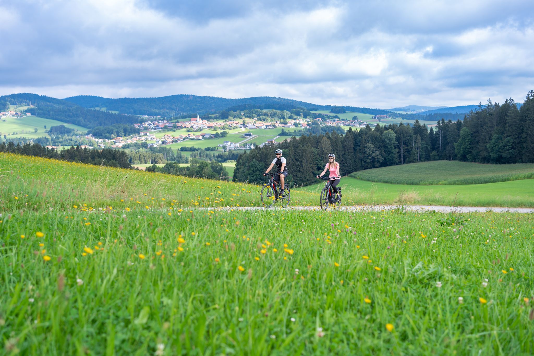
Radtouren zwischen Donau und Moldau - unterwegs im Bayerischen Wald
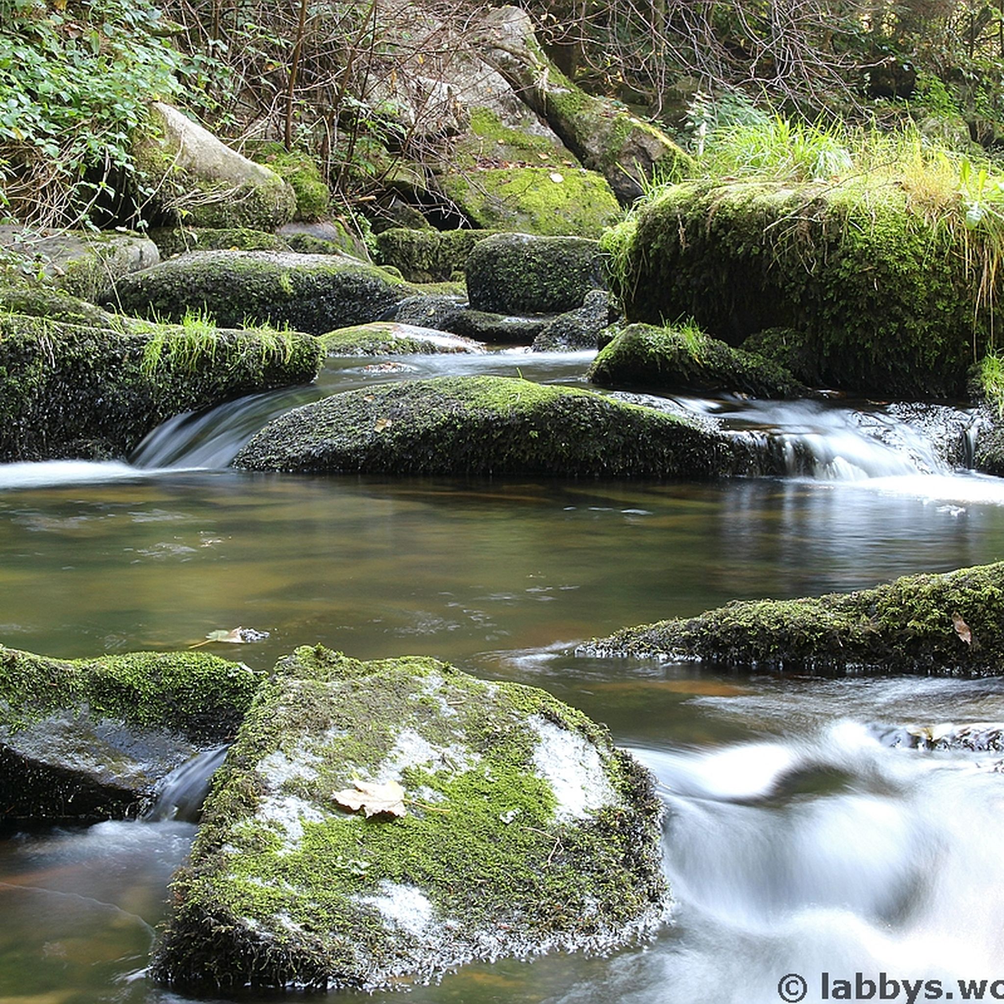
Hiking around Waldkirchen
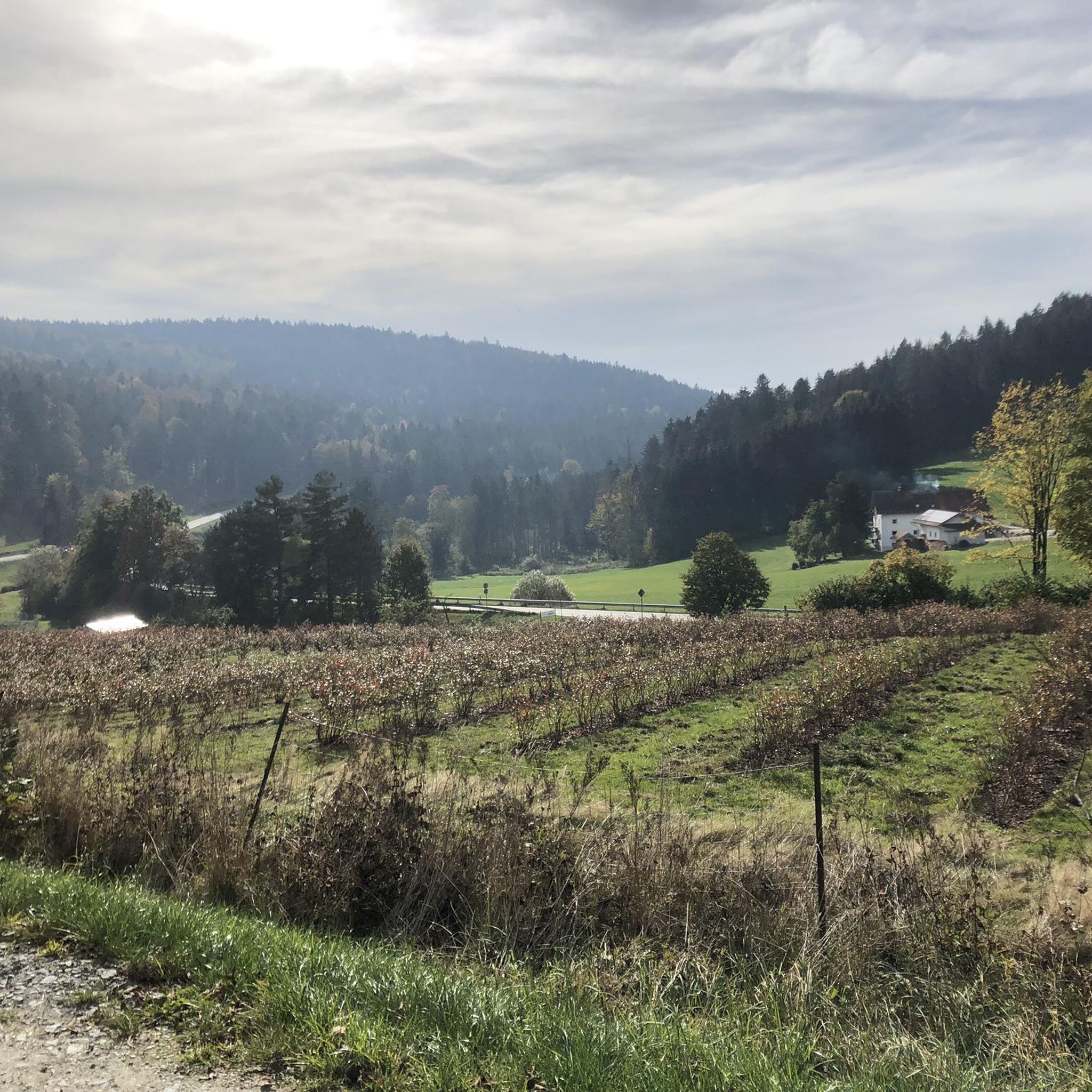
Cycling around Waldkirchen
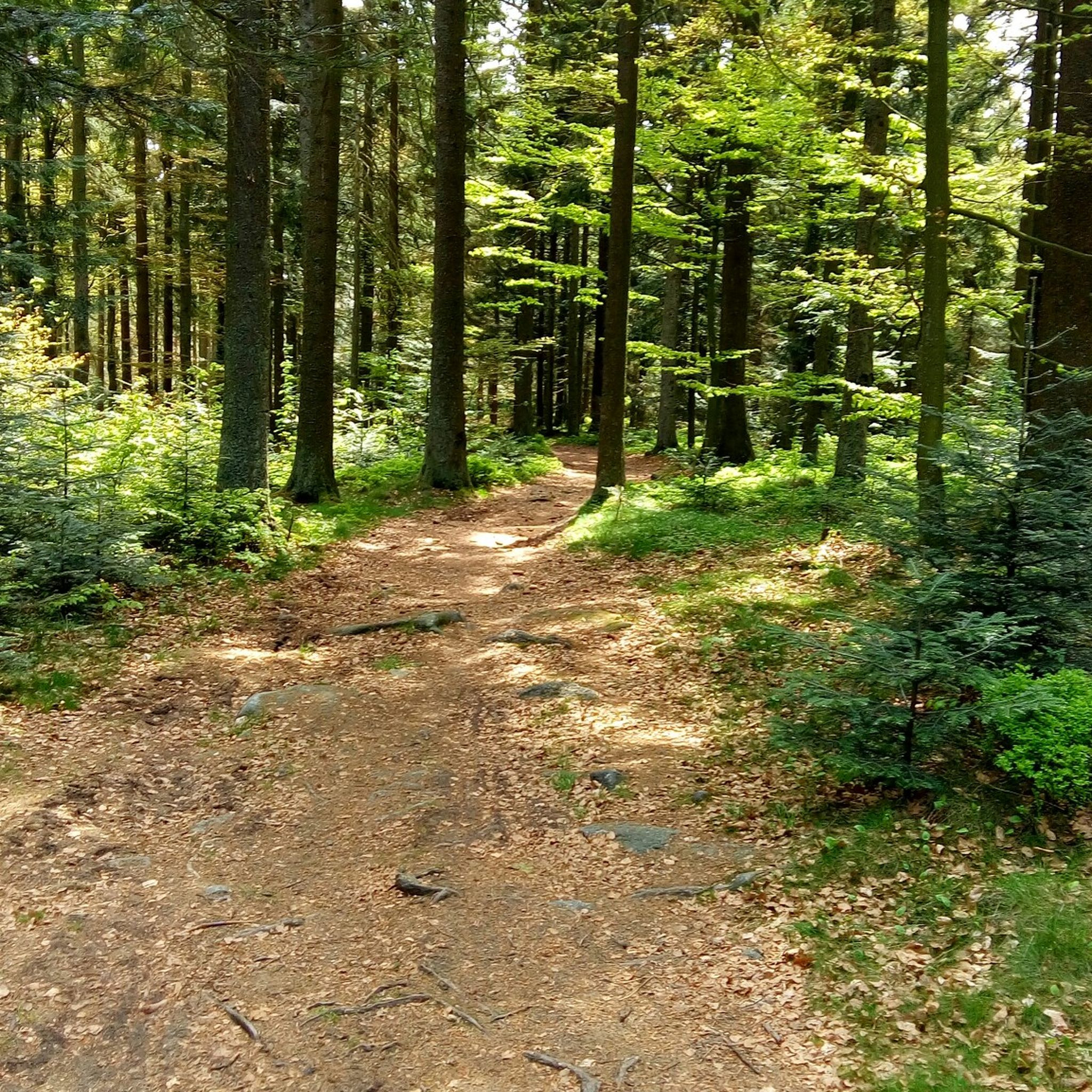
MTB Trails around Waldkirchen
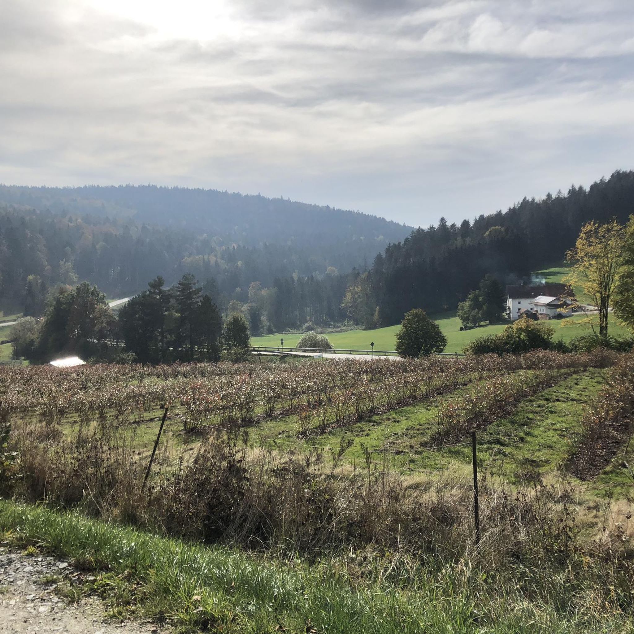
Running Trails around Waldkirchen
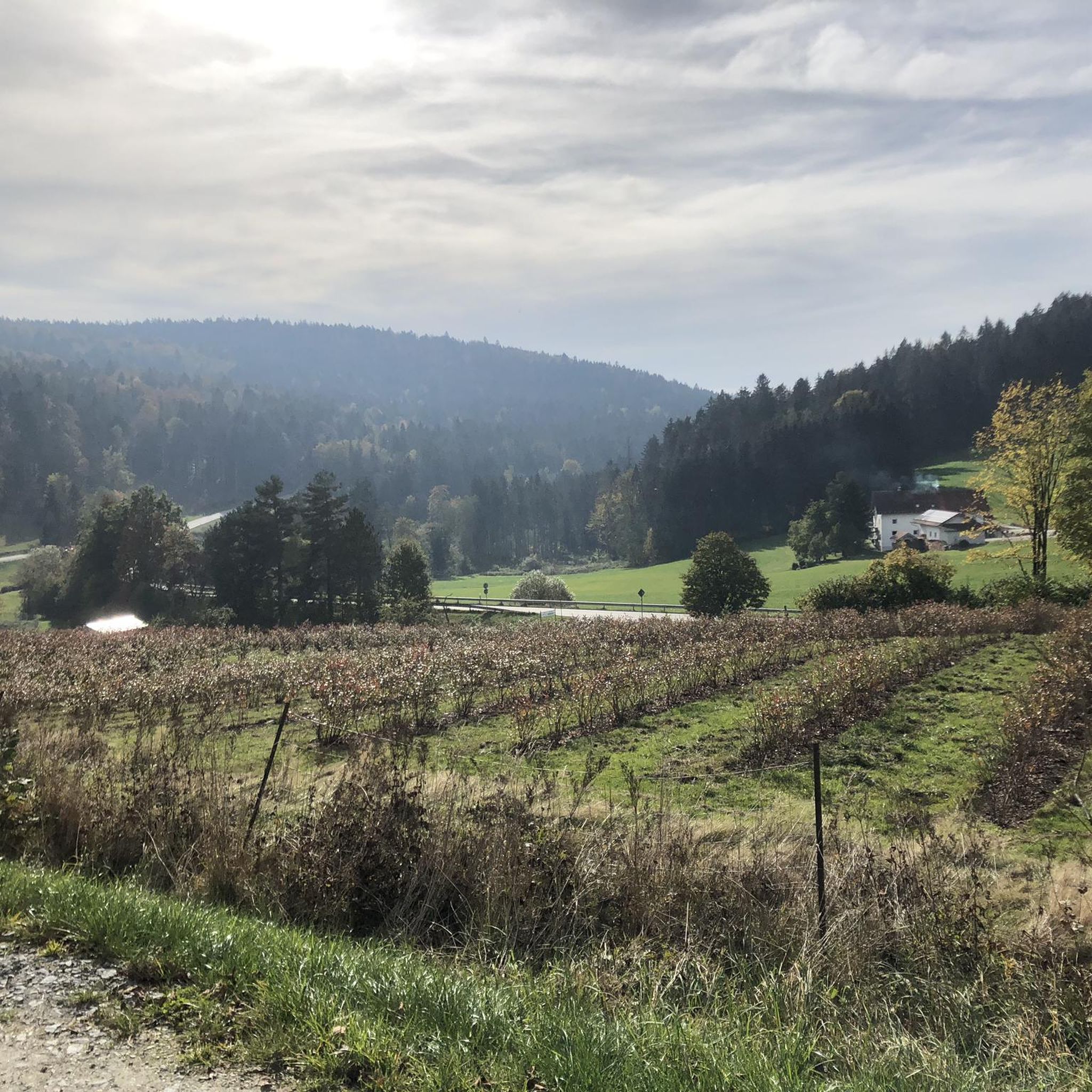
Road Cycling Routes around Waldkirchen
Mountain Hikes around Waldkirchen


Tips from the Community

Often loose ground, therefore good tires are necessary. After rain also a lot of mud.
0
0
Inclines are moderate, manageable even with an e-bike. Ground is often loose, so good tires are necessary.
0
0

Ilztalbahn station. It runs from 01.05 to 18.10 on Saturdays, Sundays and public holidays four times daily.
0
0

Bike repair shop & hammock. Practical service meets relaxation: Here you can charge your battery and your bike's battery while simultaneously taking a short break in the hammock. An unexpected comfort point on your route, toolbox for minor repairs included.
1
0
At the Zur Emerenz inn, you'll find regional dishes and a tranquil beer garden. The beers from the family-run Hutthurm brewery make this a pleasant and down-to-earth stop. A place where you'll happily linger a few minutes longer. www.wirtshaus-zur-emerenz.de
0
0


There is a charming reservoir very close to Waldkirchen.
0
0
Frequently Asked Questions
How many gravel bike trails are available around Waldkirchen?
There are over 60 gravel bike trails to explore around Waldkirchen, offering a wide range of experiences for different skill levels. The komoot community has extensively mapped and reviewed these routes, ensuring a diverse selection.
What kind of terrain can I expect on gravel bike trails around Waldkirchen?
The terrain around Waldkirchen is quite varied, characterized by extensive woodlands, river valleys, and numerous lakes within the Bavarian Forest. Routes often combine asphalted secondary roads with firm sand and gravel paths. You'll find everything from gentle, rolling paths to trails with significant ascents, catering to the mixed-surface nature of gravel biking.
Are there easy gravel bike trails suitable for beginners or families in Waldkirchen?
Yes, Waldkirchen offers several easier gravel routes perfect for beginners or families. The Erlauzwieseler Reservoir – Erlauzwiesel Reservoir loop from Waldkirchen is a moderate 12.8-mile (20.6 km) trail that takes about 1 hour 35 minutes, leading through scenic natural features. The Adalbert-Stifter-Radweg, partly built on a former railway line, also offers easier segments suitable for a relaxed ride.
What are some challenging gravel bike routes for experienced riders?
For experienced riders seeking a challenge, the View of Waldkirchen – Frauenberg Railway Bridge loop from Waldkirchen is a difficult 34.4-mile (55.4 km) path with significant elevation changes, traversing varied terrain and offering expansive views. Another demanding option is the Frauenberg Railway Bridge – Vltava River at Nová Pec loop from Saßbach, a nearly 60-mile (98.8 km) route with substantial climbing.
Are there any circular gravel bike routes around Waldkirchen?
Many of the gravel routes around Waldkirchen are designed as loops, allowing you to start and end in the same location. Examples include the popular Adalbert-Stifter Cycle Path – Frauenberg Railway Bridge loop from Waldkirchen and the scenic Lake Erlauzwieseler Reservoir loop from Waldkirchen.
What natural attractions or landmarks can I see along the gravel bike trails?
The gravel trails often lead through or near beautiful natural features. You can explore the wild and romantic Saußbachklamm gorge, known for its waterfalls and rock formations. The Erlauzwieseler Reservoir is integrated into several cycling routes, offering picturesque views. For panoramic vistas, consider routes that connect to Haidel Mountain, where a 35-meter observation tower provides views of the Bavarian-Bohemian border regions and even the Alps.
Are there any interesting historical sites or points of interest near the trails?
Yes, Waldkirchen and its surroundings are rich in history. You can follow segments of the 'Golden Road,' historical transport trails once used for salt and grain. In Waldkirchen itself, look out for historic 'wheel chasers' (guard stones) and lovingly crafted granite sculptures commemorating local figures. The region's location in the Germany-Austria-Czech Republic tri-border area also adds to its historical charm.
What do other gravel bikers enjoy most about the routes in Waldkirchen?
The gravel biking routes in Waldkirchen are highly rated by the komoot community, with an average score of 4.9 stars from over 30 reviews. Reviewers often praise the diverse terrain, the extensive woodlands, and the scenic river valleys. The well-maintained mixed-surface roads and the variety of options for different ability levels are also frequently highlighted.
What is the best season for gravel biking around Waldkirchen?
While gravel biking is enjoyable in Waldkirchen across multiple seasons, spring and autumn offer particularly pleasant conditions with mild temperatures and vibrant natural scenery. The extensive woodlands provide beautiful backdrops as leaves change color in autumn or new growth emerges in spring. Summer is also popular, though some trails might be busier.
Are there opportunities for longer gravel biking excursions or day trips from Waldkirchen?
Absolutely. Waldkirchen is part of the larger Donau-Moldau Cycling Area, which boasts over 400 km of cycling paths, offering boundless excursion possibilities. You can extend your rides into the German-Austrian-Czech border region. The Adalbert-Stifter-Radweg also connects to the Trans Bayerwald Mountain Bike Route, leading to Haidel and further towards the German-Czech border, ideal for longer day trips.
Where can I find places to rest or get refreshments along the trails?
While specific cafes on every trail segment are not guaranteed, the region has various huts and settlements that might offer refreshments. For example, the Schrottenbaummühle is a restaurant highlight, and the Halleralm on the Saußbach is a hut that could provide a stop. Planning your route with komoot allows you to identify such points of interest beforehand.
Most popular routes around Waldkirchen
Most popular attractions around Waldkirchen

Get inspired with the komoot mobile app


Explore more
Browse the best Gravel rides in other regions.
