The best walks and hikes around Oberstaufen
4.6
(16298)
73,481
hikers
454
hikes
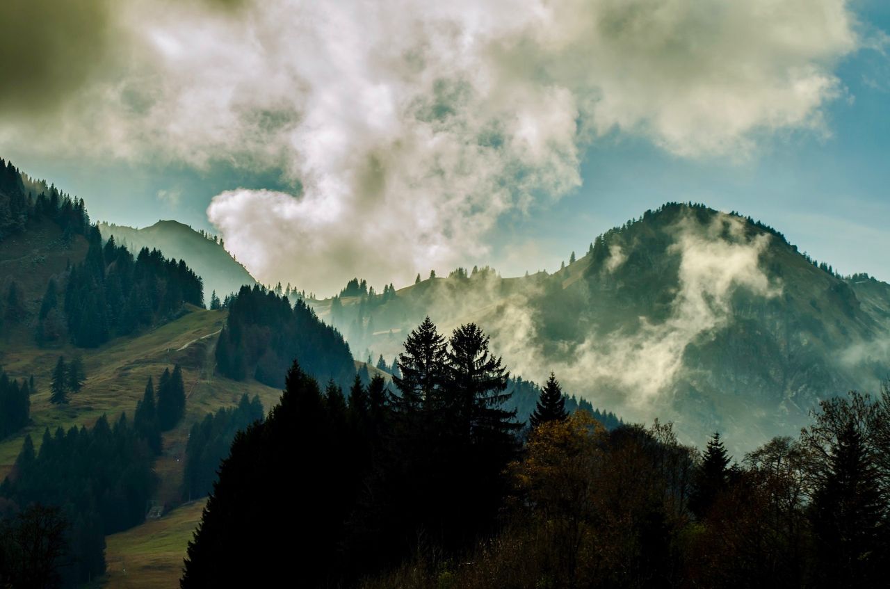
Hiking around Oberstaufen offers diverse landscapes within the Allgäu region, characterized by the unique Nagelfluh rock formations of the Nagelfluhkette Nature Park. The terrain includes majestic mountains like Hochgrat, Staufen, and Hündle, alongside gentle hills, dense forests, and alpine pastures. Deep gorges such as Weißach Gorge and Falltobel feature impressive waterfalls, contributing to a varied environment for outdoor activities.
Best hiking trails around Oberstaufen
- The most popular hiking route is Steibis – Buchenegg waterfalls, a 4.0 miles (6.5 km) trail that takes 1 hour 53 minutes to complete. This route leads through the Weißach Gorge to the Buchenegger Waterfalls.
- Another top favourite among local hikers is Alpine Adventure Trail on the Imberg, an easy 3.9 miles (6.4 km) path. This trail offers an engaging experience on the Imberg mountain, combining hiking with information about mountain life.
- Local hikers also love the On the Staufen, a 3.1 miles (5.0 km) trail leading through varied forest and meadow terrain, often completed in about 1 hour 37 minutes.
- Hiking around Oberstaufen is defined by Nagelfluh rock formations, alpine pastures, and deep gorges. The extensive network of trails offers options for various ability levels, from leisurely walks to demanding mountain treks.
- The routes in Oberstaufen are highly rated by the komoot community with an average score of 4.6 stars from more than 13,900 reviews. More than 65,000 hikers have used komoot to explore Oberstaufen's varied terrain.
Last updated: July 20, 2026
4.7
(769)
2,545
hikers
6.50km
01:53
150m
150m
Moderate hike. Great for any fitness level. Mostly accessible paths. Sure-footedness required.
4.7
(445)
1,557
hikers
7.72km
02:20
250m
260m
Moderate hike. Good fitness required. Easily-accessible paths. Suitable for all skill levels.

Sign up for free
4.7
(257)
1,082
hikers
6.35km
01:53
190m
190m
Easy hike. Great for any fitness level. Easily-accessible paths. Suitable for all skill levels.
4.6
(448)
1,924
hikers
6.25km
01:53
100m
380m
Moderate hike. Great for any fitness level. Mostly accessible paths. Sure-footedness required.
4.4
(178)
587
hikers
5.02km
01:37
220m
220m
Easy hike. Great for any fitness level. Easily-accessible paths. Suitable for all skill levels.
Get access to more routes and recommendations from other explorers.
Sign up for free
Already have an account?
Our route recommendations are based on thousands of hikes, rides, and runs completed by other people on komoot.
Start today with a free account
Your next adventure awaits.
Login or Signup
Popular around Oberstaufen

Maximilian Trail in Germany — Lake Constance to Königssee

The Best of Allgäu – Tour around Oberallgäu
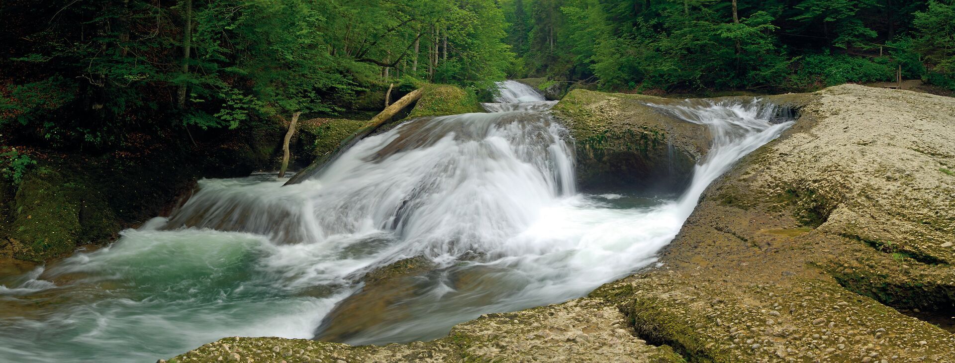
Wandertrilogie Allgäu: Wasserläufer-Route in the Westallgäu

Detectives and summit baggers – family hikes around Oberstaufen
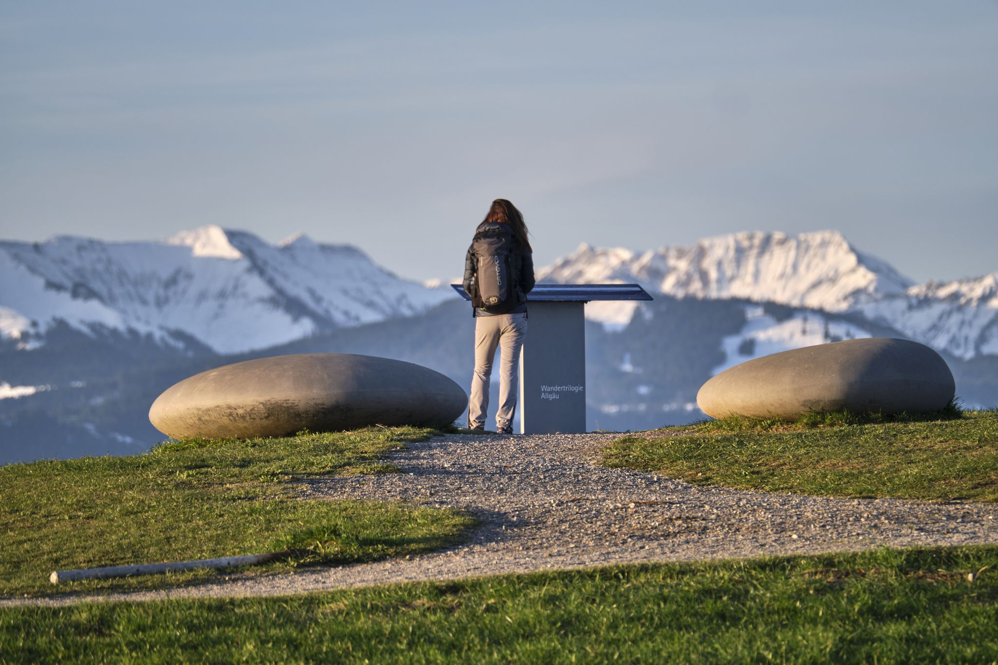
Experience history – hike the Trilogy Tours in Allgäu
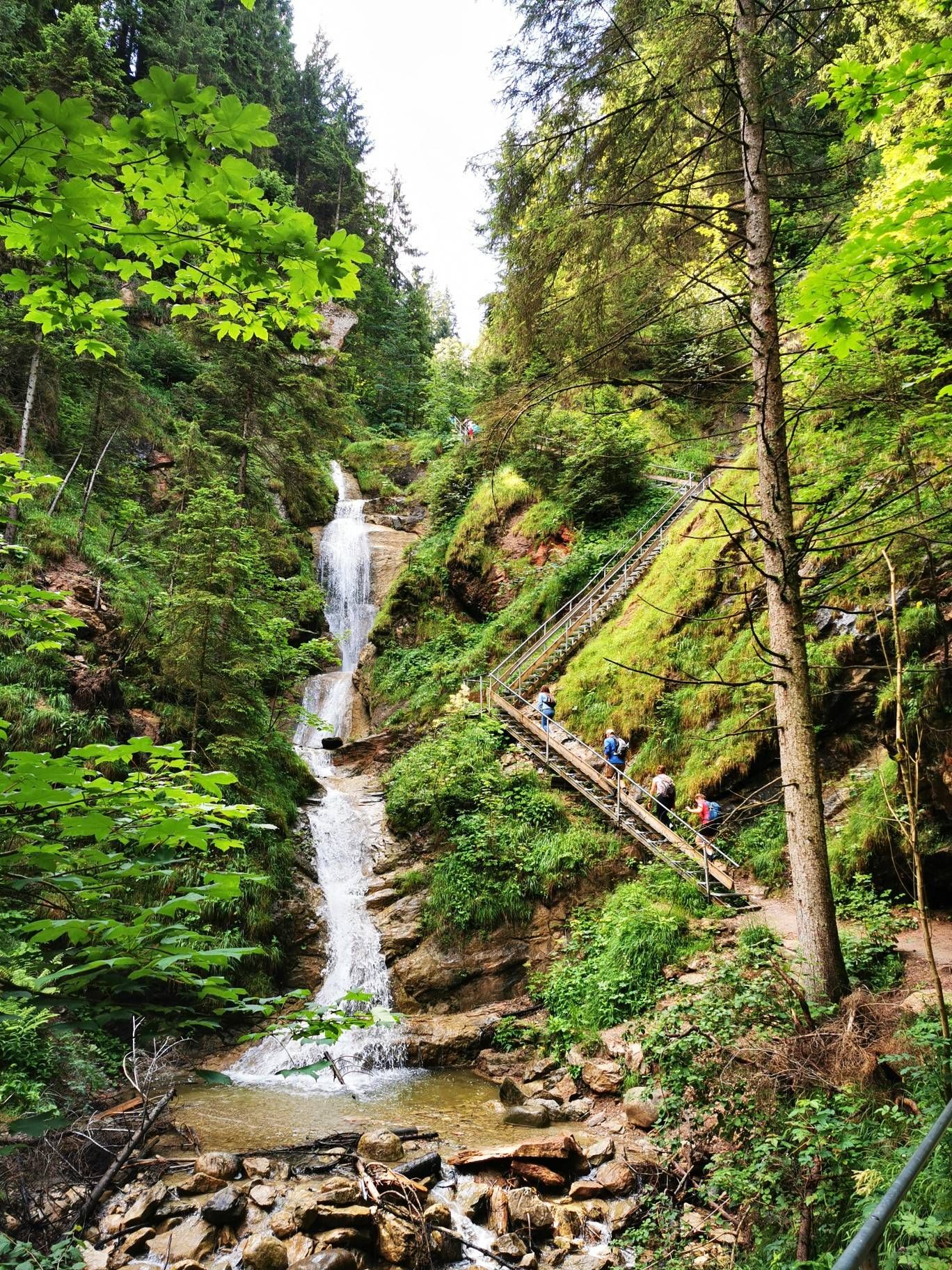
Discover Alpine lakes on the Watercourse Route – Allgäu hiking trilogy

Climbing Alpine peaks on the Route to the Top – Allgäu hiking trilogy
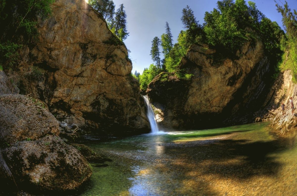
Germany's roaring waterfalls
Allgäu pleasure peaks

Lake Constance to Königssee cycle path
Other adventures around Oberstaufen


Tips from the Community

From the west flank of the Staufen, the view falls across steep grassy slopes directly onto Oberstaufen, which lies peacefully in its valley hollow. When the sun sets in the west, warm light lies on the roofs and the first lights come on in the village, you will probably have the most beautiful view from up here at dusk.
1
0
It was not the place that gave the mountain its name, but the other way around: the Celtic „Stuffen" denoted a drinking vessel without a base, which was placed upside down – an image of the strikingly conical shape of the 1,042-meter-high summit. It owes this to two ice-age glacier tongues that once flowed around it. The Staufner Berg is located on the European main watershed between the North Sea and the Mediterranean Sea.
1
0
The foliage here offers a fantastic view of the surrounding landscape. In the distance, the Nagelfluhkette chain reveals itself: peak after peak lines up here. Dominated by the Hochgrat, the highest elevation in the Allgäu Alps at 1,834 meters, the gaze wanders over the green hilly landscape around Oberstaufen. With clear visibility, the Swiss Säntis can be glimpsed in the southwest.
1
0

Great, quiet area to relax. 😘
4
0

A great idea to make the route more interesting for children/teenagers
0
0

Great rare plants, but they also struggle with the heat
3
0

Here you can go hiking and enjoy nature.
3
0

Beautiful view of the mixed forest on the mountain
0
0
Frequently Asked Questions
How many hiking trails are available in Oberstaufen?
Oberstaufen offers a wide variety of hiking experiences, with over 430 routes recorded. These range from leisurely strolls to demanding mountain treks, catering to all skill levels.
What makes the landscape around Oberstaufen unique for hiking?
The region is characterized by the distinctive 'Nagelfluh' rock formations of the Nagelfluhkette Nature Park. You'll find a diverse terrain featuring majestic mountains like Hochgrat, Staufen, and Hündle, alongside gentle hills, dense forests, and alpine pastures. Deep gorges such as Weißach Gorge and Falltobel also feature impressive waterfalls.
Are there any hikes with waterfalls in Oberstaufen?
Yes, the region is home to several impressive waterfalls. The Steibis – Buchenegg waterfalls route is a popular choice, leading through the Weißach Gorge to the beautiful Buchenegger Waterfalls. Another notable natural spectacle is the roughly 20-meter high waterfall in the Falltobel gorge.
What is the best time of year for hiking in Oberstaufen?
The best time for hiking in Oberstaufen is generally from spring to autumn. During these seasons, you'll experience mild temperatures and vibrant nature, enhancing your hiking experience. In April, the mountain meadows of the Hündle, especially the Hochsiedelalpe, transform into a stunning carpet of white, blue, and purple wild crocuses.
Are there family-friendly hiking trails in Oberstaufen?
Absolutely! Oberstaufen is well-suited for families. The Alpine Adventure Trail on the Imberg offers an engaging experience combining hiking with educational information about mountain life. Another great option is the MounTeens Detective Trail on the Hündle, which provides an interactive adventure for children.
Can I find circular hiking routes in Oberstaufen?
Yes, Oberstaufen offers several circular routes. For example, the Steibis loop to the Dreiländerblick provides varied forest and meadow experiences with expansive views. Many trails are designed as loops, allowing you to start and end at the same point.
Are there challenging hikes for experienced hikers in Oberstaufen?
For experienced hikers seeking a challenge, Oberstaufen offers 59 difficult routes. The 'Airy Ridge' (Luftiger Grat) trail, for instance, leads into the alpine mountain world and offers some of the most beautiful viewpoints in the Nagelfluhkette Nature Park, requiring surefootedness and mountain experience.
What do other hikers say about the trails in Oberstaufen?
The hiking trails in Oberstaufen are highly rated by the komoot community, with an average score of 4.6 stars from over 13,900 reviews. Hikers often praise the well-signposted paths, the diverse landscapes, and the stunning panoramic views from peaks like Hochgrat and Staufen.
Are there any hikes that offer panoramic viewpoints?
Yes, many hikes in Oberstaufen provide breathtaking panoramic views. The On the Staufen trail offers magnificent views, including over the Konstanz valley up to Alpsee. The Hochgrat, the highest peak of the Nagelfluh chain, also provides spectacular vistas across the Allgäu to the Alps.
Are there easy hikes suitable for beginners in Oberstaufen?
Oberstaufen has 174 easy routes, making it a great destination for beginners or those looking for a relaxed walk. These trails often feature gentle hills, meadows, and forests, providing a pleasant hiking experience without significant elevation changes.
What nearby attractions can I explore while hiking in Oberstaufen?
Beyond the trails, you can explore several natural attractions. The Buchenegger Waterfalls are a highlight, and you might also encounter beautiful lakes like the Bühl lakeside promenade (Alpsee) or the Waldsee Lindenberg. The Wildrosenmoos Nature Reserve is another interesting point of interest.
Most popular routes around Oberstaufen
Most popular attractions around Oberstaufen

Get inspired with the komoot mobile app


Explore more
Browse the best Hikes in other regions.
