The 20 Most Amazing Peaks around Dillenburg
Best mountain peaks around Dillenburg are found within the Lahn-Dill-Bergland, a region characterized by its hilly landscapes and extensive hiking opportunities. Dillenburg, located in Hesse's Giessen region, provides access to various natural elevations and scenic viewpoints. The Eschenburg, at 589 meters, stands as the tallest mountain directly associated with Dillenburg. This area offers diverse terrain for outdoor activities, including sections of the Rothaarsteig and WesterwaldSteig trails.
Best mountain peaks around Dillenburg
- The most popular mountain peaks is Tiefenrother Höhe viewpoint…
Last updated: September 27, 2026
Tiefenrother Höhe viewpoint
Highlight • Viewpoint
Translated by Google •
Tip by

Highest Point in the Lahn-Dill District
Highlight • Summit
The highest point is a little further off the beaten track. The sign was brought forward some time ago.
Translated by Google •
Tip by
Sign up now to discover places like this
Get recommendations on the best single tracks, peaks, & plenty of other exciting outdoor places.
Kalteiche Summit (580 m)
Highlight • Summit
From here beautiful trails lead downhill again.
Translated by Google •
Tip by
Dietzhölztal Shelter
Highlight • Mountain Hut
Translated by Google •
Tip by

Fuchskaute Nature Reserve
Highlight • Natural Monument
Translated by Google •
Tip by

Sign up for free to discover even more peaks around Dillenburg.
Already have an account?
Start today with a free account
Your next adventure awaits.
Popular around Dillenburg

11 Hessen trails – criss-cross through the countryside
Lahn-Dill-Bergland-Pfad – Hiking trail
Hiking in the Lahn-Dill-Bergland Nature Park
Themed hikes in Dillenburg
Hiking tours for connoisseurs in the Lahn-Dill-Bergland nature park
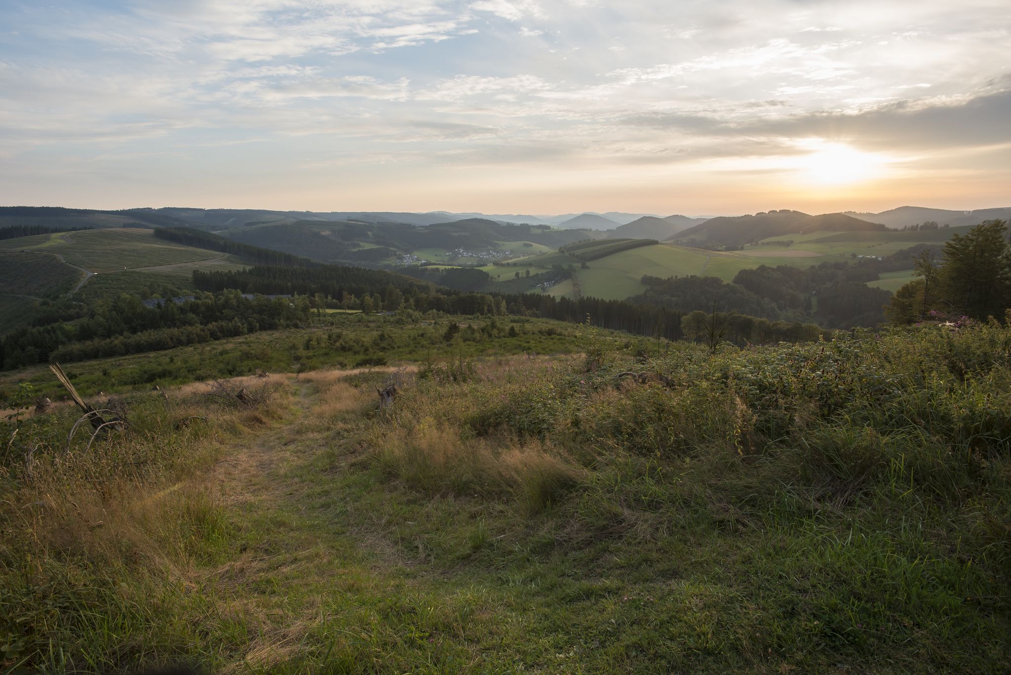
Forest, meadows, wonderland – hiking the Rothaarsteig Trails
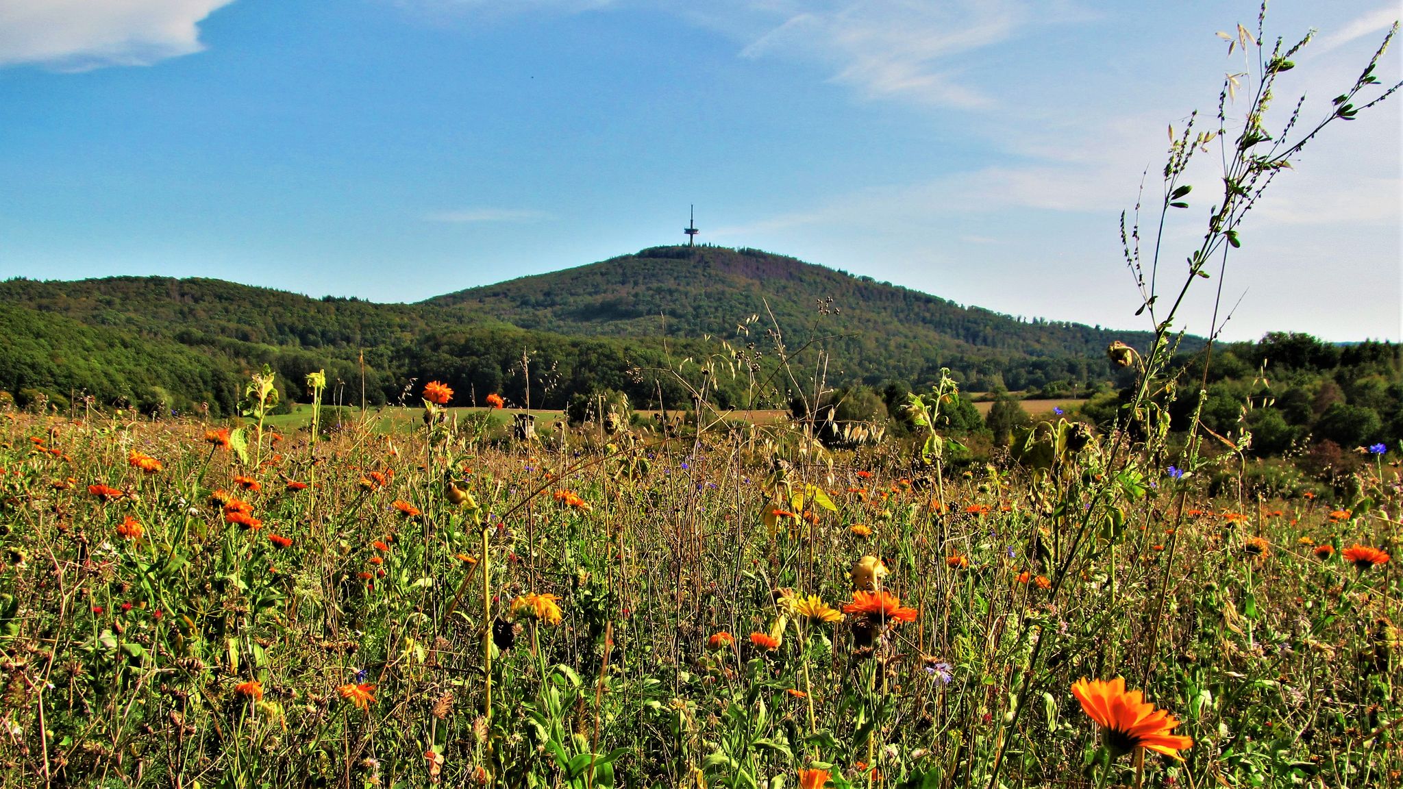
Wälder, Höhen, Seen – Radeln im Naturpark Lahn-Dill-Bergland
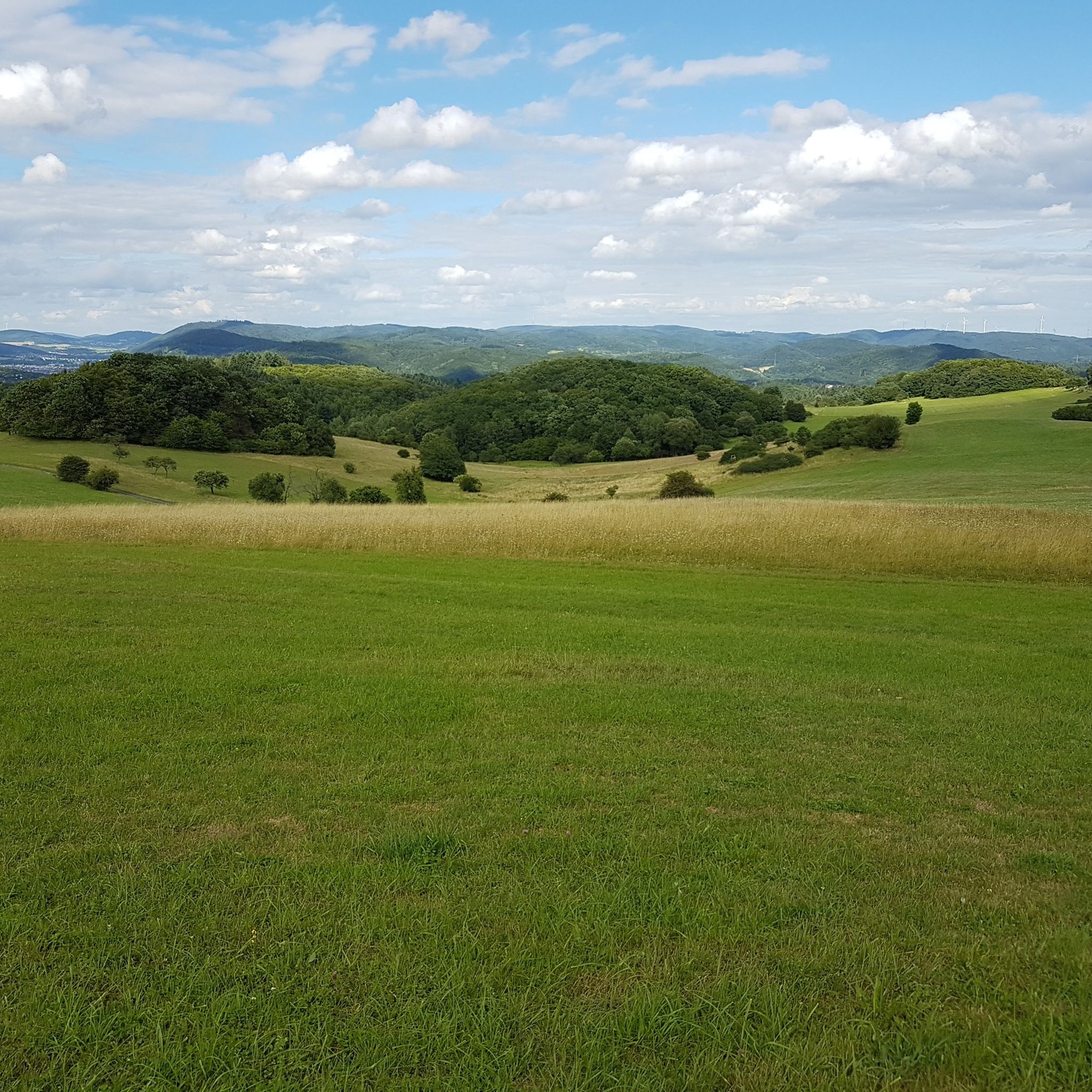
Hiking around Dillenburg
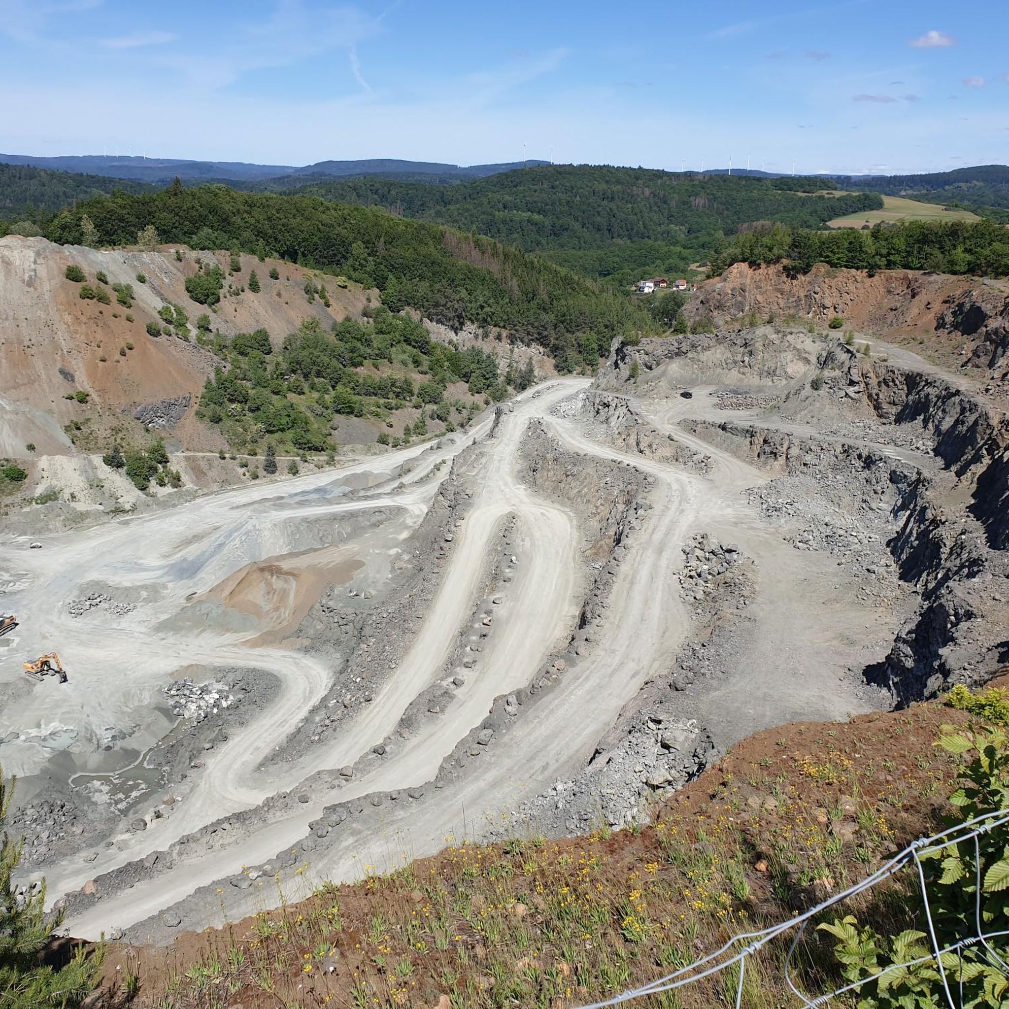
Cycling around Dillenburg
MTB Trails around Dillenburg
Other adventures around Dillenburg


Tips from the Community

Here in this spot in the valley you can't expect a great view. If you look closely, you can still see the remains of the former grass track racing track in the grass. You can get a view from the southern side of the Fuchskaute near the former lodge.
5
1

The highest point in the Westerwald. But my expectations were probably too high, it was nice, you should probably take it with you, but it also had a better view.
5
0

The 657m high Fuchskaute is the highest elevation in the entire Westerwald. Characteristic of the basalt summit of the Fuchskaute, but also of the entire High Westerwald, are the hedges and strips of spruce that run through the open meadow landscape. These arose as a result of reforestation plans as a countermeasure to the former massive deforestation for iron smelting or agriculture and pastoralism, so that incoming winds can be better slowed down again.
5
0

Nice path section of the Rothaarsteig.. partly pathed and with great views
5
1

Coming from Wilnsdorf it's a good incline - from there you can continue hiking to the Rothaarsteig. Of course also inhabited by the Celts and to be mentioned in connection with the Old Castle.
4
0

Beautiful idyllic piece of nature. It is better to be out here during the week than at the weekend. There are just too many people around.
7
0

Very nice hiking area around the Fuchskaute. And a beautiful section of the Rothaarsteig.
4
1
Very nice hiking area around the Fuchskaute. Here the title hits the truth. The section of the Rothaarsteig is actually very beautiful. Nice paths through a varied landscape.
6
2
Frequently Asked Questions
What are some of the most scenic viewpoints around Dillenburg?
The region offers several fantastic viewpoints. The Tiefenrother Höhe viewpoint is highly praised for its panoramic views over the Siegerland, featuring a viewing platform known as “Nose in the Wind.” Another notable spot is the Highest Point in the Lahn-Dill District, which also offers scenic vistas.
Are there any family-friendly mountain trails near Dillenburg?
Yes, several trails and highlights are suitable for families. The Tiefenrother Höhe viewpoint is categorized as family-friendly, offering beautiful views. Additionally, the Dietzhölztal Shelter provides a good resting spot on routes that are often enjoyed by families.
What kind of hiking trails can I find in the Dillenburg mountain region?
The Dillenburg mountain region, particularly within the Lahn-Dill-Bergland, features diverse hiking opportunities. You can find sections of renowned long-distance trails like the Rothaarsteig and WesterwaldSteig. There are also numerous local trails, ranging from easy to challenging, often leading through forests and offering scenic views. For easier options, consider routes like the Dillenburg Historical Trail or the CO2 Nature Trail on the Rothaarsteig.
What is the highest mountain directly associated with Dillenburg?
The tallest mountain directly associated with Dillenburg is the Eschenburg, standing at an elevation of 589 meters. It is located approximately 6 kilometers north of Dillenburg's main town, within the Nanzenbach area.
Are there historical sites or cultural landmarks on or near the mountain peaks?
While not a natural peak, Dillenburg's Schlossberg (Castle Hill) is historically significant. It was home to Dillenburg Castle, and its defensive structures and casemates are notable. The Wilhelmsturm on the Schlossberg houses the Orange-Nassau Museum, offering a blend of natural elevation and rich history. The Kalteiche Summit (580 m) is also listed as a historical site.
What outdoor activities, besides hiking, can be done near the mountain peaks around Dillenburg?
The hilly landscapes of the Lahn-Dill-Bergland are well-suited for various outdoor activities. Cycling and mountain biking are popular, with trails ranging from easy to challenging. You can explore routes like those found in the Cycling around Dillenburg guide or the Road Cycling Routes around Dillenburg guide.
What is the best time of year to hike the mountains around Dillenburg?
The region offers appeal throughout the year. Spring and autumn provide pleasant temperatures and vibrant scenery, ideal for hiking. Summer is also great, though some popular spots like the Tiefenrother Höhe viewpoint can be highly frequented on weekends. Winter hiking is possible, especially on well-maintained trails, offering a different, serene experience.
What natural features can I expect to see on the mountain trails?
You'll encounter extensive forests, particularly around highlights like the Highest Point in the Lahn-Dill District and Kalteiche Summit (580 m). The Fuchskaute Nature Reserve, a basalt plateau, features unique meadows with diverse flora and fauna, including nearly 300 species of flowering plants and trees.
Are there any shelters or resting points available on the trails?
Yes, for instance, the Dietzhölztal Shelter is an excellent rest stop, especially along the Rothaarsteig. It provides a refuge with benches, inviting hikers to pause and enjoy the surroundings.
What do visitors particularly enjoy about the mountain peaks around Dillenburg?
Visitors frequently praise the fantastic panoramic views, especially from spots like the Tiefenrother Höhe viewpoint. The extensive hiking opportunities, the tranquility of the forests, and the chance to unwind in nature are also highly valued. The region's natural beauty and well-maintained trails receive significant appreciation from the komoot community, with thousands of upvotes and photos shared.
How difficult are the mountain peaks and trails around Dillenburg?
The difficulty varies, with options suitable for different fitness levels. Many highlights, such as the Tiefenrother Höhe viewpoint and Kalteiche Summit (580 m), are categorized as intermediate. There are also easier trails for beginners and more challenging routes for experienced hikers, particularly along sections of the long-distance paths.
Most popular routes around Dillenburg
Most popular attractions around Dillenburg

Get inspired with the komoot mobile app


Explore more
See even more amazing summits around Dillenburg with these guides:
