The best road cycling routes around Bethel
144
riders
13
rides
If you’ve ever tried to plan road cycling around Bethel, you know how overwhelming the options can be. With so many roads winding through this beautiful corner of Maine, it’s hard to tell which routes are genuinely worth your time and effort, and which are just filler. That’s where we come in. Our komoot community has ridden, mapped, and reviewed countless routes here, and we’ve distilled all that local knowledge into a curated shortlist of the very best. Consider this your shortcut to incredible rides, saving you all the guesswork.
Road cycling around Bethel is defined by its mix of forested areas, river valleys, and rolling terrain, with scenic roads that traverse natural reserves and mountain passes. You’ll find everything from easy, gentle spins to moderate routes with steady climbs, offering varied conditions for every preference. The region truly shines during the fall foliage season, when the landscape bursts with color, making it an especially vibrant time to visit.
If you only do one ride, make it the Cross New Hampshire Adventure Trail Loop. This popular 38.5-mile (61.9 km) route offers a fantastic journey through varied natural settings. For those seeking a challenge and dramatic scenery, the Evan's Notch from Bethel loop, at 43.0 miles (69.2 km), is a top favorite, featuring significant elevation gain as it winds through a scenic mountain pass. Ready to explore? More than 100 road cyclists have already used komoot to discover Bethel’s diverse terrain, and now it’s your turn.
Last updated: May 10, 2026
12
riders
69.2km
03:16
880m
880m
The Evan's Notch from Bethel loop offers a truly immersive road cycling experience through the White Mountain National Forest, where you'll navigate diverse terrain and soak in stunning mountain views. Expect to climb through thick forests that burst with color in autumn, eventually reaching expansive vistas at the top of Evan's Notch. The route provides a serene atmosphere, allowing you to connect deeply with the wilderness, far from the crowds of more popular passes. You'll find yourself cycling alongside a scenic river on the north side, a pleasant contrast to the challenging climbs.
This moderate 43.0-mile (69.2 km) road cycling loop, with its 2880 feet (878 metres) of elevation gain, typically takes around 3 hours and 15 minutes. It's a fantastic option for spring, summer, or fall, with autumn foliage being a particular highlight. The roads are mostly well-paved, though some sections can be narrow and winding. The south side of Evan's Notch is notably steeper, with gradients around 10%, so be ready for a sustained effort.
What makes this route stand out is its relative solitude and status as a classic northern New England ride. Beyond the cycling, you might even find opportunities for wild swimming at spots like Frenchman's Hole along the river on the north side. It's a journey that combines physical challenge with profound natural beauty, making it a memorable addition to any cyclist's list.
15
riders
61.9km
02:35
450m
450m
The Cross New Hampshire Adventure Trail Loop offers a truly diverse cycling experience, winding through river valleys and past historic covered bridges. You'll traverse a mix of paved and unpaved surfaces, from hard-packed stone dust to rough gravel, with views of the Presidential Mountain Range and the chance to spot wildlife near the Androscoggin River. It's a moderate 38.5-mile (61.9 km) route that feels like a true New England adventure, best suited for bikes with wider tires.
While the Komoot data suggests racebikes, this 2-hour and 35-minute loop is definitely not for skinny-tired road bikes; a gravel bike, hybrid, or mountain bike is highly recommended due to the varied terrain. With 1485 feet (453 metres) of elevation gain, you'll encounter some steady climbs and rougher sections. Look for the ten fixed bike repair stations along the route, and consider visiting in June for lupine blooms or October for fall foliage.
This loop is part of the larger 83-mile Cross New Hampshire Adventure Trail, designed to connect communities and offer safer, off-road travel. It incorporates former rail lines, adding a historical dimension to your ride. The trail's multi-use nature means you'll share it with walkers and runners, and it's a great way to explore the northern White Mountains region and its charming towns.

Sign up for free
10
riders
41.9km
01:50
300m
300m
The concept of an Intervale Gateway Nature Reserve to North Pond loop for road cycling presents a bit of a puzzle, as a dedicated, continuous route under this name isn't widely recognized. While the Intervale Preserve itself is a serene spot with flood plain marshes and vernal pools, its dirt and boardwalk trails are best suited for walking, not road bikes. However, if you were to explore the general vicinity, you might find scenic paved sections around various "North Pond" locations, offering glimpses of lakes, forests, and diverse wildlife, depending on where you are.
For those considering this 26.0-mile (41.9 km) route with 972 feet (296 metres) of elevation gain, rated easy and estimated to take 1 hour and 49 minutes, careful planning is essential. You'll need to research specific road conditions and confirm the suitability of surfaces for road cycling, as many areas named "Intervale" or "North Pond" are unpaved or singletrack. Always check for local access rules, parking, and any seasonal considerations before heading out.
This route, as mapped, offers an intriguing idea for a ride, but it highlights the importance of verifying trail types. While the Intervale Preserve is a haven for birdwatching, other "North Pond" areas, such as those with paved paths in urban parks or dedicated touring loops, could provide a pleasant road cycling experience. It's a route that demands a bit of adventurous spirit and thorough reconnaissance to ensure a smooth ride.
11
riders
102km
04:34
880m
880m
Moderate road ride. Good fitness required. Mostly well-paved surfaces and easy to ride.
13
riders
31.6km
01:20
230m
230m
Easy road ride. Great for any fitness level. Mostly well-paved surfaces and easy to ride.
Get access to more routes and recommendations from other explorers.
Sign up for free
Already have an account?
Our route recommendations are based on thousands of hikes, rides, and runs completed by other people on komoot.
Start today with a free account
Your next adventure awaits.
Login or Signup
Popular around Bethel

Tips from the Community

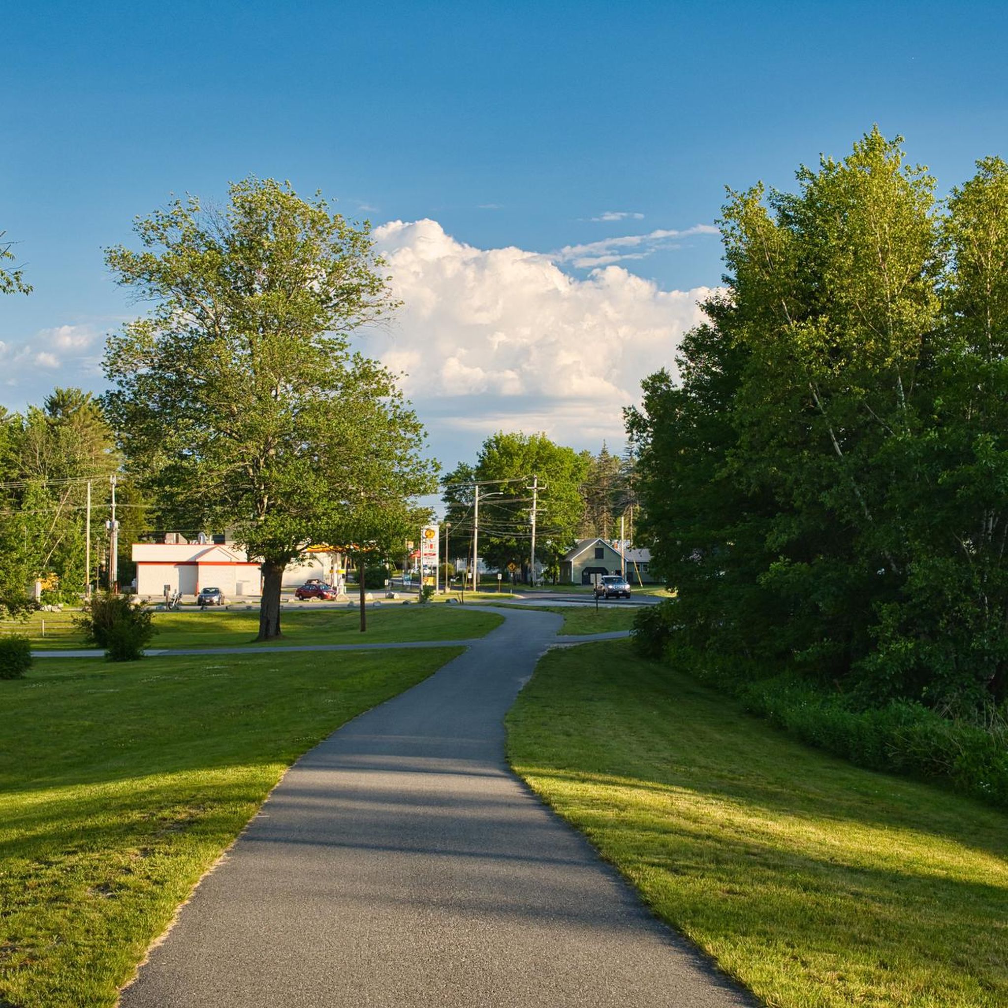
The Bethel Pathway is a short paved trail passing through the heart of Bethel. This particular section of the trail hugs the shore of the Androscoggin River and even crosses over the water via a bridge.
0
0

To get there you must access from Camping Timberland and walk a very picturesque path between native trees. When you reach the point you will have very nice views and if you do it in summer you can cool off in its crystal clear waters
0
0

North Pond is a small yet peaceful lake connected to Round Pond & South Pond.
0
0
Intervale Gateway Nature Reserve, located in Maine, offers a small yet serene escape with scenic trails and diverse ecosystems. This conservation area invites visitors to explore and connect with nature's beauty.
0
0

Evans Notch is a great spot to hit while out cycling. The South side is steeper and therefor more difficult to climb. The North side is comparatively much easier. On the flip side, going down the South side is really fun and fast, just be careful of the curves and oncoming traffic. Early morning is the best time to avoid the traffic.
0
0
Really steep, fast and fun descent, watch your speed and cars coming in the opposite direction, and enjoy the ride!
1
0

One of the quieter notch climbs in the Whites. The approach from the north is more gradual with a short kick in the end, whereas from the south, it's probably a tougher climb. New asphalt as of 2020, with less traffic than the more well known climbs. Since the road runs along the river (on the north side), keep your eyes open for beaches to paddle from - there are plenty! On the south side, you are in the White Mountain Forest, so you'll see some historic sites and camping grounds.
1
0
Frequently Asked Questions
How many road cycling routes are available around Bethel?
There are over 10 road cycling routes around Bethel, offering a variety of experiences from easy to moderate difficulty. The region features a mix of established pathways and scenic roads through forested areas and river valleys.
Are there easy road cycling routes suitable for beginners in Bethel?
Yes, Bethel offers several easy road cycling routes. For instance, the Intervale Gateway Nature Reserve to North Pond loop is an easy 26.0-mile (41.9 km) trail that leads through natural reserves and past water features, often completed in about 1 hour 50 minutes.
What are some challenging road cycling routes in Bethel?
For a more challenging ride, consider the Evan's Notch from Bethel loop. This moderate 43.0-mile (69.2 km) path features significant elevation gain as it winds through a scenic mountain pass. Another option is the longer Bethel Pathway – Evan's Notch loop from Bethel, which covers over 60 miles with substantial climbs.
When is the best time of year for road cycling in Bethel?
The best time for road cycling in Bethel is typically from late spring through early autumn. Spring offers fresh greenery, while autumn provides spectacular fall foliage, especially along routes that traverse forested areas and mountain passes like Evan's Notch. Summers are generally pleasant, but it's always wise to check local weather conditions.
Can I experience autumn colors while road cycling in Bethel?
Absolutely. Bethel is renowned for its vibrant autumn foliage. Road cycling routes that pass through forested areas and mountain passes, such as the Evan's Notch from Bethel loop, offer prime opportunities to witness stunning fall colors.
Are there scenic viewpoints along road cycling routes in Bethel?
Yes, several routes offer scenic vistas. You can find beautiful views of the Androscoggin River from Mount Will, which is accessible via the View of the Androscoggin River from Mount Will highlight. The View from Mt. Will Trail also provides excellent panoramic views.
Are there circular road cycling routes available in Bethel?
Many of the road cycling routes in Bethel are designed as loops, allowing you to start and end in the same location. Examples include the popular Cross New Hampshire Adventure Trail Loop and the Bethel Pathway loop from Bethel.
What do other road cyclists enjoy most about road cycling in Bethel?
Road cyclists frequently praise Bethel's diverse landscape, which includes natural reserves, river valleys, and forested areas. The region offers a good mix of routes, from gentle rides to challenging climbs through scenic mountain passes, catering to various skill levels.
Are there any interesting landmarks or attractions to see while road cycling around Bethel?
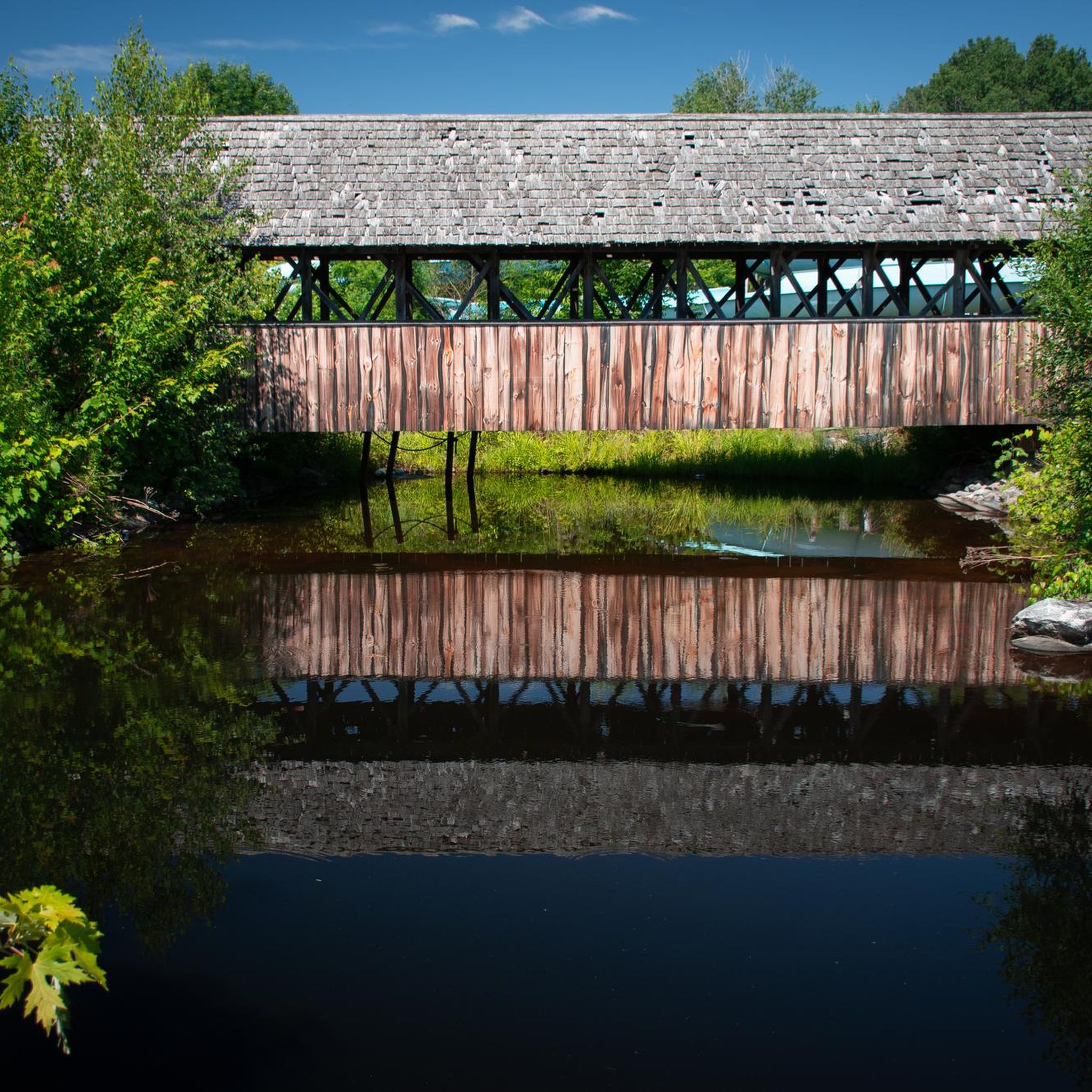
Yes, you can encounter several points of interest. The Covered bridge at Intervale Gateway Nature Reserve is a notable landmark. Additionally, the Bethel Pathway itself is a highlight, offering a pleasant cycling experience.
Where can I find parking for road cycling routes in Bethel?
While specific parking areas are not detailed for each route, Bethel, being a popular outdoor destination, generally offers public parking in and around the town center and near trailheads. It's advisable to check local municipal websites or signage upon arrival for designated parking spots, especially when accessing routes that start from specific reserves or parks.
Are there road cycling routes in Bethel with cafes or places to stop for refreshments?
Many routes around Bethel pass through or near the town center, where you'll find various cafes and eateries. For routes venturing further out, it's recommended to carry sufficient water and snacks, as refreshment stops might be less frequent. Planning your route with komoot can help identify towns or villages along the way where you might find amenities.
Most popular routes around Bethel
Most popular attractions around Bethel

Get inspired with the komoot mobile app


Explore more
Browse the best Road cycling routes in other regions.
