The best walks and hikes around Kloosterbos
4.4
(3496)
17,023
hikers
587
hikes
Hiking trails around Kloosterbos traverse a 124-hectare forest in Wachtebeke, Belgium, characterized by diverse landscapes. The area features narrow forest paths winding through pines, beeches, and oaks, alongside open sand plains and fern-rich areas. It is situated on a sand ridge, a remnant from the Ice Age, which rises up to five meters above the surrounding terrain. Conservation efforts are transforming the forest into a mixed environment, enhancing its ecological significance.
Best hiking trails around Kloosterbos
- The most popular hiking…
Last updated: November 1, 2026
4.5
(23)
122
hikers
5.65km
01:26
10m
10m
Easy hike. Easily walkable paths.
4.3
(3)
27
hikers
Easy hike. Easily walkable paths.

4.7
(3)
11
hikers
13.6km
03:25
20m
20m
Moderate hike. Good fitness required. Easily walkable paths.
18
hikers
Easy hike. Easily walkable paths.
3.7
(3)
18
hikers
Easy hike. Easily walkable paths.
Get access to more routes and recommendations from other explorers.
Already have an account?
Our route recommendations are based on thousands of hikes, rides, and runs completed by other people on komoot.
Start today with a free account
Your next adventure awaits.

Tips from the Community

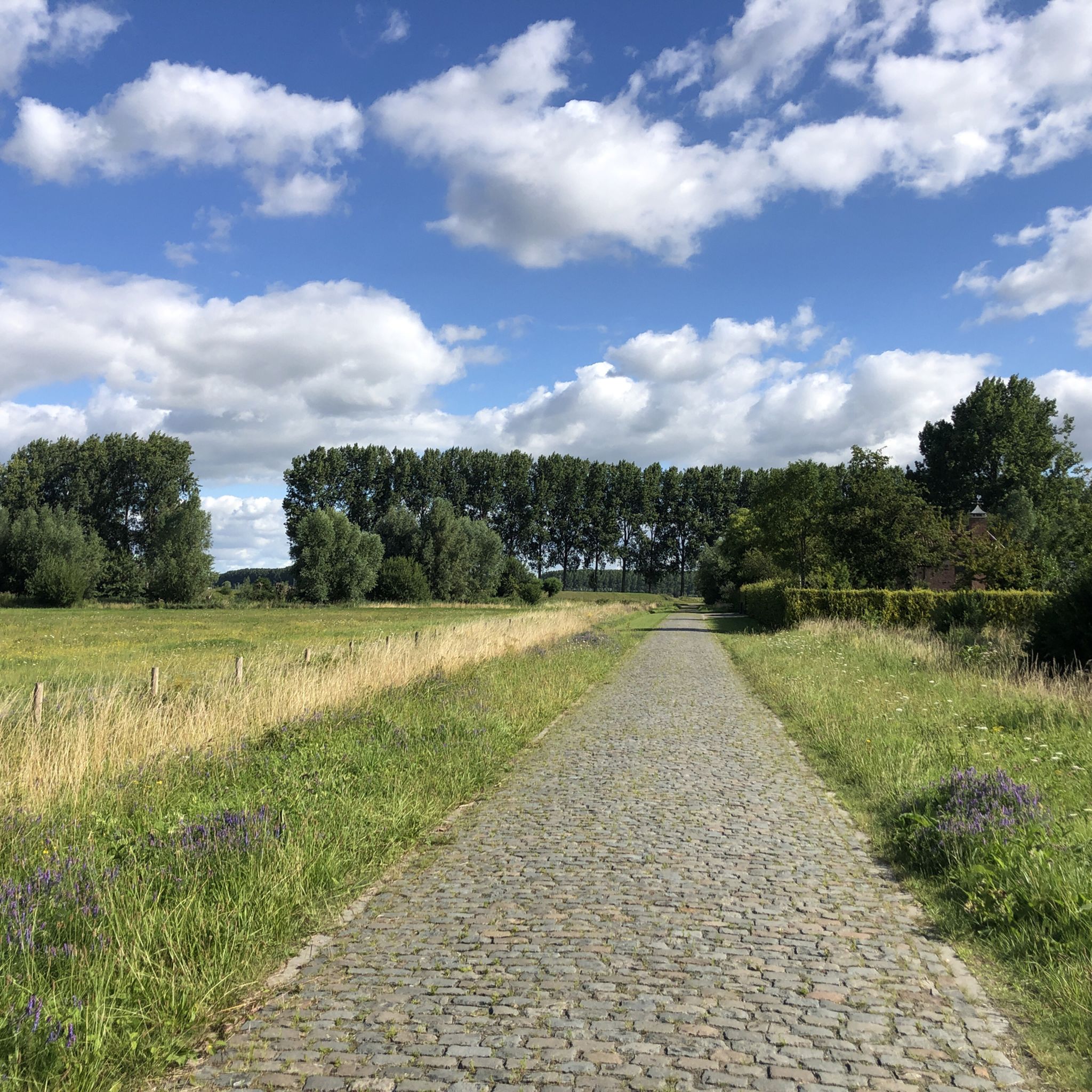
Well-maintained cycle path, pay attention at crossings, no right of way
0
0

Small pillar chapel, like the vast majority in Flanders, dedicated to Our Lady. There is a picnic table next to the chapel.
2
0
Actually two benches: a bench facing the water and a picnic bench by the chapel.
2
0
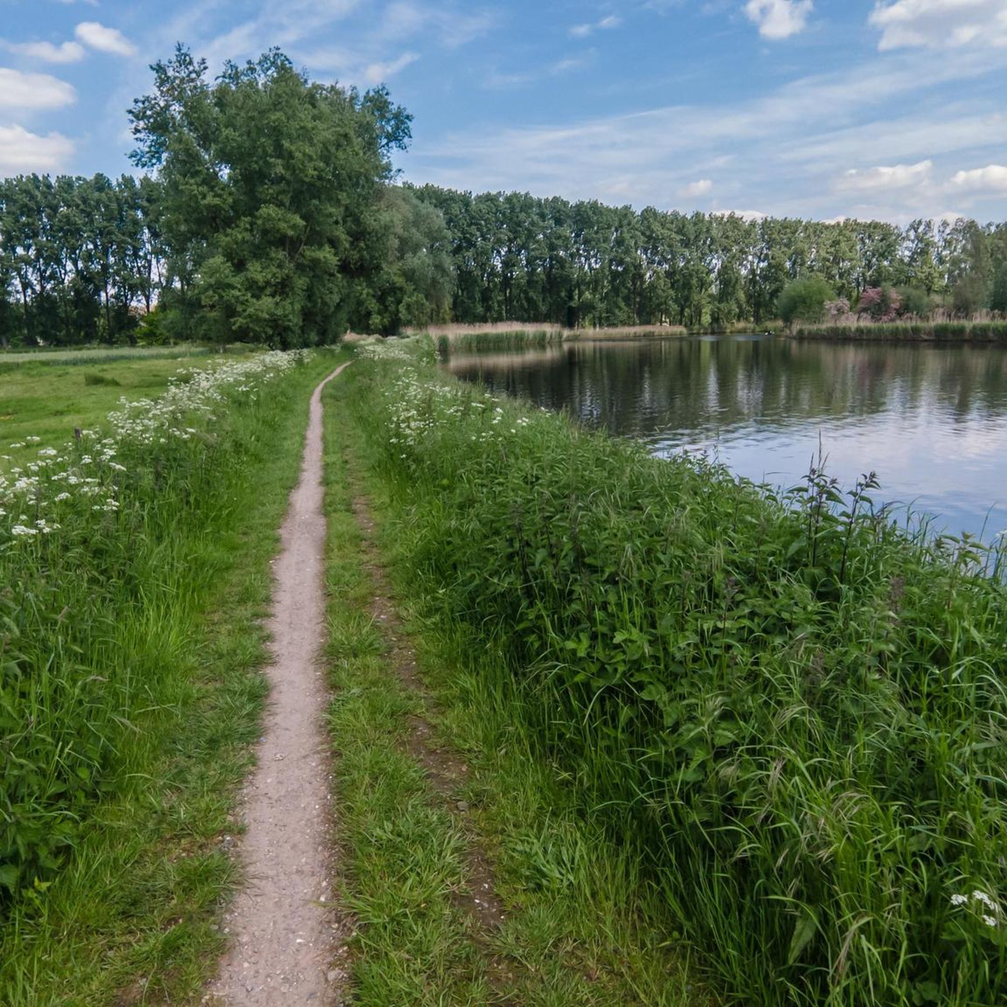
The Langelede was probably originally a tributary of the Durme, which was canalized as early as the early Middle Ages during the exploitation of the peat bogs. The Langelede was already mentioned in documents from the 14th century. It leads from the Moervaart (to the south) to the hamlet of Oudeburgse Sluis on the border with the Netherlands (to the north). In 1775 it was straightened with renewed bridge construction and a lock at the border with the Netherlands (the former so-called Sint-Eloyssluis, later Oudeburgse sluis). source: Inventaris Onroerend Erfgoed
2
0
The sign is built into a corten steel structure in the shape of a "W", the Waasland symbol that can also be seen here and there at other points in the region. The sign contains information about the origin of the cover sand ridge on which the Kloosterbos grew and about the former sand extraction.
2
0
From 1867 to 2008 (!) a railway line ran here, between Moerbeke and Rostijne (in Zelzate), which was once part of line 77 from Sint-Gillis-Waas to Zelzate. The stretch between the Moerbeke sugar factory and Zelzate lasted the longest. From 1980 onwards, the dismantled parts of that railway line were converted into an asphalted walking and cycling path (one of the first of its kind). Here and there, references to that railway past were preserved or built, like here the bridge over the Langelede.
2
0

beautiful bridge made of natural materials
1
0
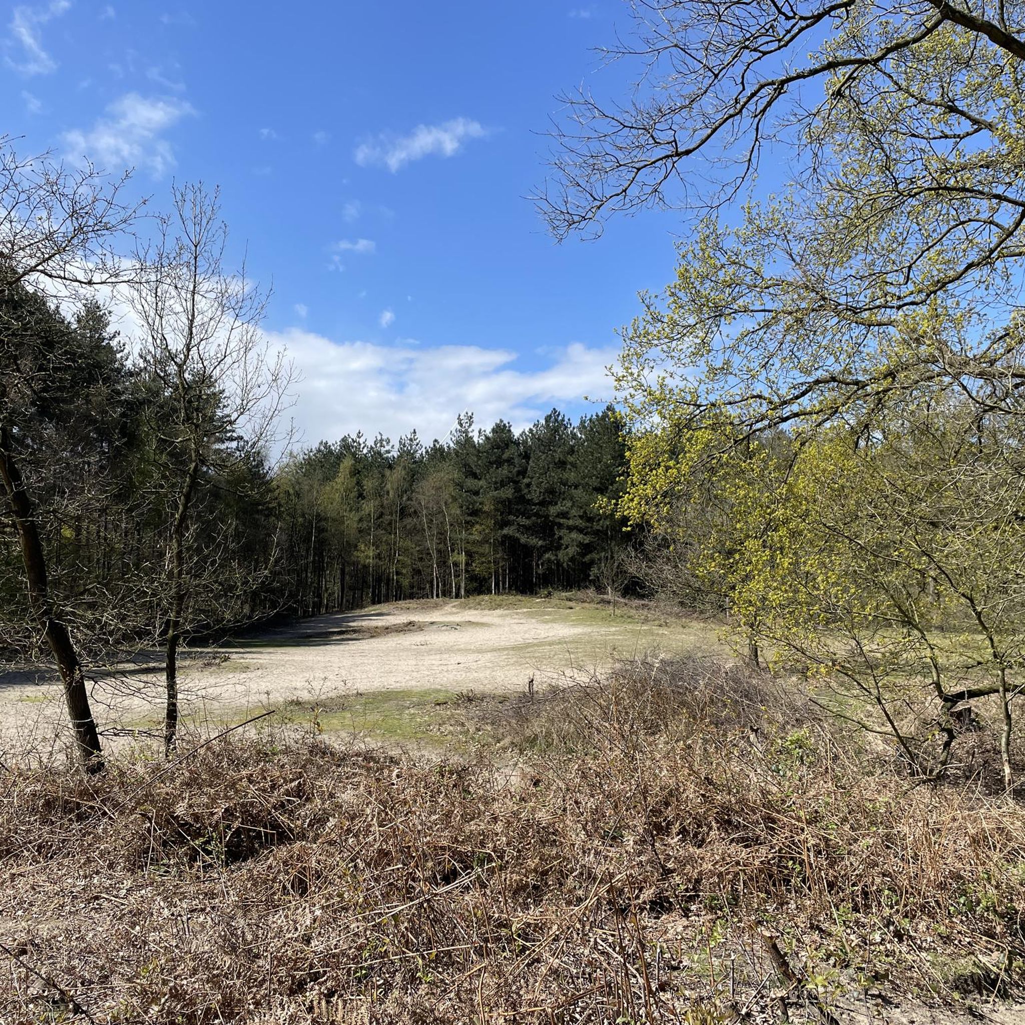
Path through a small wood west of the much larger Heidebos. Nice slow road as an alternative to the asphalt Knokkestraat.
1
0
Frequently Asked Questions
How many hiking trails are available in Kloosterbos?
Kloosterbos offers a wide network of paths, with over 500 hiking routes recorded on komoot. These range from easy strolls to more challenging treks, ensuring options for various fitness levels.
What kind of landscapes can I expect to see while hiking in Kloosterbos?
Kloosterbos features a diverse forest environment with narrow paths winding through towering pines, beeches, and oaks. You'll also encounter open sand plains, areas rich in ferns, and a unique sand ridge, a remnant from the Ice Age, rising up to five meters above the surrounding landscape. Conservation efforts are transforming it into a mixed forest, enhancing its ecological richness.
Are there family-friendly hiking options in Kloosterbos?
Yes, Kloosterbos is very family-friendly. It includes almost 9 hectares of designated play zones where children can freely explore and play in nature. Areas like the 'Witte Heuvel' (White Hill) are sand dunes perfect for children, and a 'kampenbos' (camp forest) allows for hut building. A photo scavenger hunt is also available for families.
Can I bring my dog on the trails in Kloosterbos?
Dogs are welcome in Kloosterbos, but they must be kept on a leash in most areas. There is also a specific designated off-leash area where your dog can run freely.
Are there any circular hiking routes in Kloosterbos?
Many routes in Kloosterbos are circular, allowing you to start and end at the same point. For example, the Kloosterbos entrance – Kloosterbos loop from Zelzate is an easy 4.1 km circular hike that takes you through the diverse forest environment.
What are the typical difficulty levels of hikes in Kloosterbos?
The trails in Kloosterbos cater to various abilities. You'll find a good mix of easy, moderate, and some more difficult routes. Over 300 routes are classified as easy, while more than 170 are moderate, offering options for a relaxed walk or a longer, more active outing.
Is there parking available for hikers at Kloosterbos?
While there isn't a dedicated parking lot within Kloosterbos itself, parking is generally available along the street near the main starting points and entrances to the forest.
How can I reach Kloosterbos using public transport?
The provided information does not specify direct public transport routes to Kloosterbos. It's advisable to check local public transport websites for bus or train connections to Wachtebeke, and then plan your route to the forest from there.
What do other hikers enjoy most about hiking in Kloosterbos?
The area is highly rated by the komoot community, with an average score of 4.4 stars from over 3,000 reviews. Hikers often praise the diverse forest environment, the well-maintained paths, and the peaceful atmosphere, especially the narrow forest paths winding through the trees.
Are there any longer hiking routes that connect to other areas?
Yes, Kloosterbos is integrated into larger walking networks. For a longer experience, consider the De Langelede – Kloosterbos loop from Gent Arcelor Mittal, a moderate 13.6 km route that connects to the historic Langelede canal, offering varied scenery beyond the forest itself.
What is the best time of year to visit Kloosterbos for hiking?
Kloosterbos is beautiful year-round. Spring offers vibrant bloomers like spotted lungwort and wood anemones. Autumn brings colorful foliage. While trails are generally good, they can get muddy when wet, so appropriate footwear is recommended, especially during wetter seasons.
Are there any unique natural features or conservation efforts in Kloosterbos?
Kloosterbos is part of the European Natura 2000 area and the larger Vossenhol nature reserve. It's known for its ecological significance, including spring bloomers and older beech avenues attractive to black woodpeckers. Conservation efforts focus on transforming it into a mixed forest and creating open sandy areas where heather is re-emerging, contributing to a richer ecological environment.
Most popular routes around Kloosterbos

Get inspired with the komoot mobile app


Explore more
Browse the best Hikes in other regions.
