The best walks and hikes around the Kemet mountains
4.5
(17743)
97,378
hikers
54
hikes
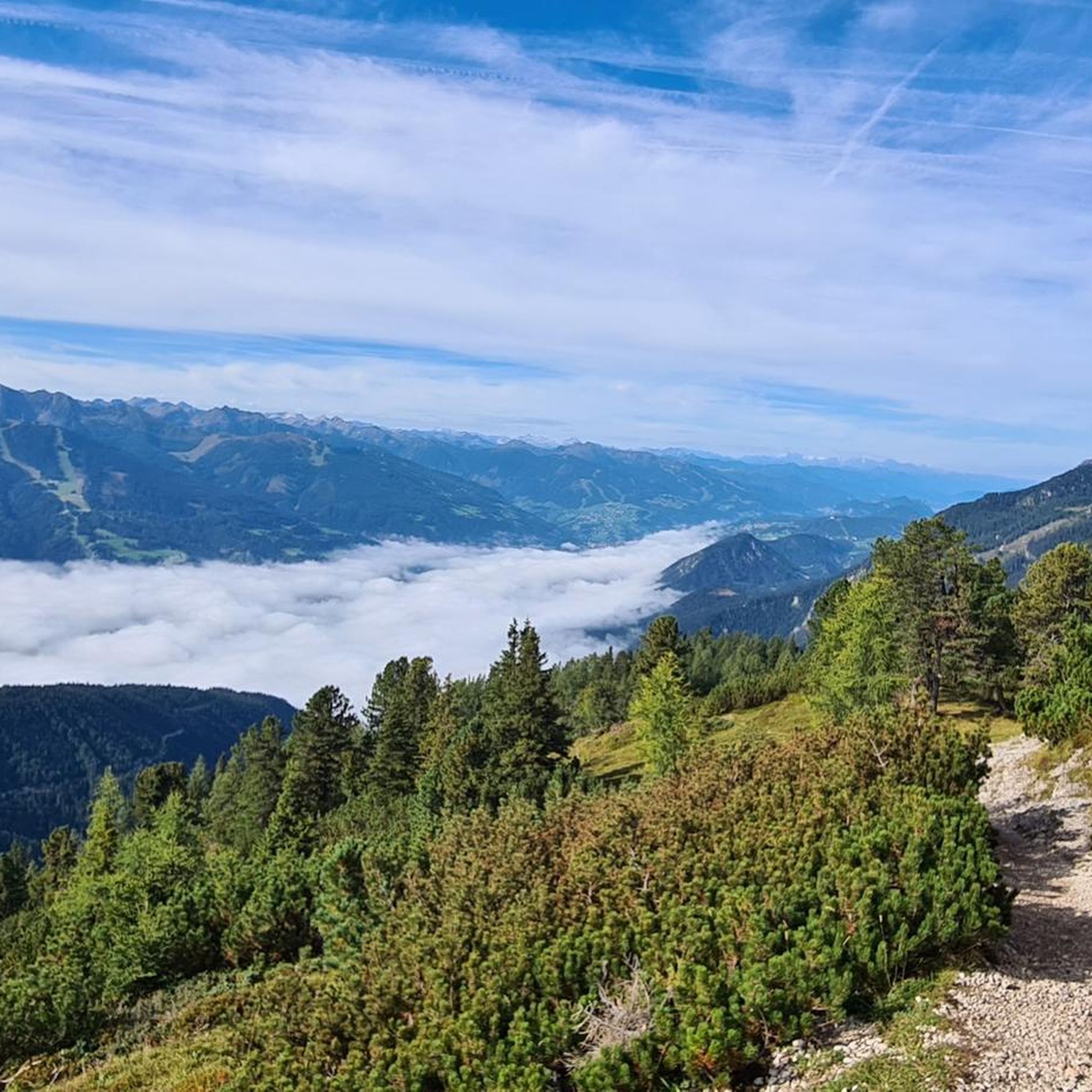
Hiking around the Kemet mountains offers a diverse landscape characterized by alpine terrain, dense forests, and scenic valleys within the Liezen district. The region features prominent peaks like Stoderzinken and includes water features such as Gradenbach Valley and Ahornsee. Trails often involve significant elevation changes, providing varied experiences for hikers.
Best hiking trails around the Kemet mountains
- The most popular hiking route is Gradenbach Valley to Ahornsee Trail, a 7.9 miles (12.7 km) trail that takes 5 hours 18 minutes to complete. This difficult route features substantial elevation gain through mountainous terrain.
- Another top favourite among local hikers is Peace Chapel Stoderzinken – Stoderzinken summit cross loop from Gradenbachfall, a moderate 2.8 miles (4.5 km) path. This trail offers views towards the Stoderzinken summit cross and passes by Gradenbachfall.
- Local hikers also love the From Gröbming to the Stoderzinken - Dachstein mountains, a 9.3 miles (15.0 km) trail leading through the Dachstein mountains, often completed in about 6 hours 24 minutes.
- Hiking around the Kemet mountains is defined by alpine valleys, forested slopes, and mountain summits. The network offers options for different ability levels, from moderate loops to challenging ascents.
- The routes in Kemet mountains are highly rated by the komoot community with an average score of 4.5 stars from over 6,000 reviews. More than 36,000 hikers have used komoot to explore Kemet mountains's varied terrain.
Last updated: October 10, 2026
4.7
(63)
352
hikers
12.7km
05:18
750m
750m
Hard hike. Very good fitness required. Mostly accessible paths. Sure-footedness required.
4.9
(399)
2,095
hikers
Moderate hike. Great for any fitness level. Mostly accessible paths. Sure-footedness required.

4.9
(28)
195
hikers
15.0km
06:24
1,140m
1,140m
Hard hike. Very good fitness required. Mostly accessible paths. Sure-footedness required.
4.5
(21)
104
hikers
5.22km
01:43
220m
220m
Moderate hike. Great for any fitness level. Mostly accessible paths. Sure-footedness required.
4.9
(23)
153
hikers
Hard hike. Very good fitness required. Mostly accessible paths. Sure-footedness required.
Get access to more routes and recommendations from other explorers.
Already have an account?
Our route recommendations are based on thousands of hikes, rides, and runs completed by other people on komoot.
Start today with a free account
Your next adventure awaits.
Popular around Kemet mountains
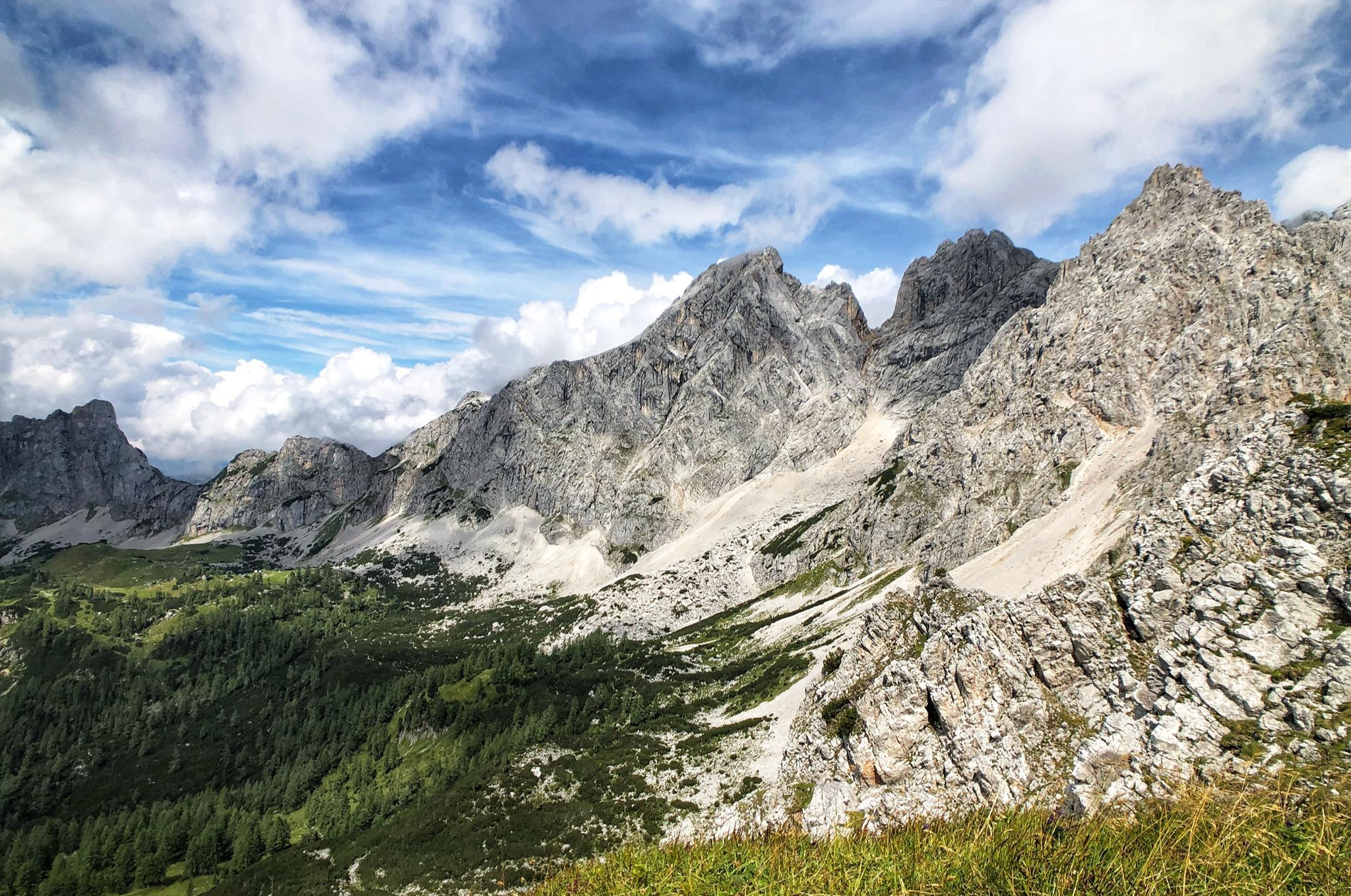
The Dachstein Rundwanderweg – Eight days in the Dachsteingebirge
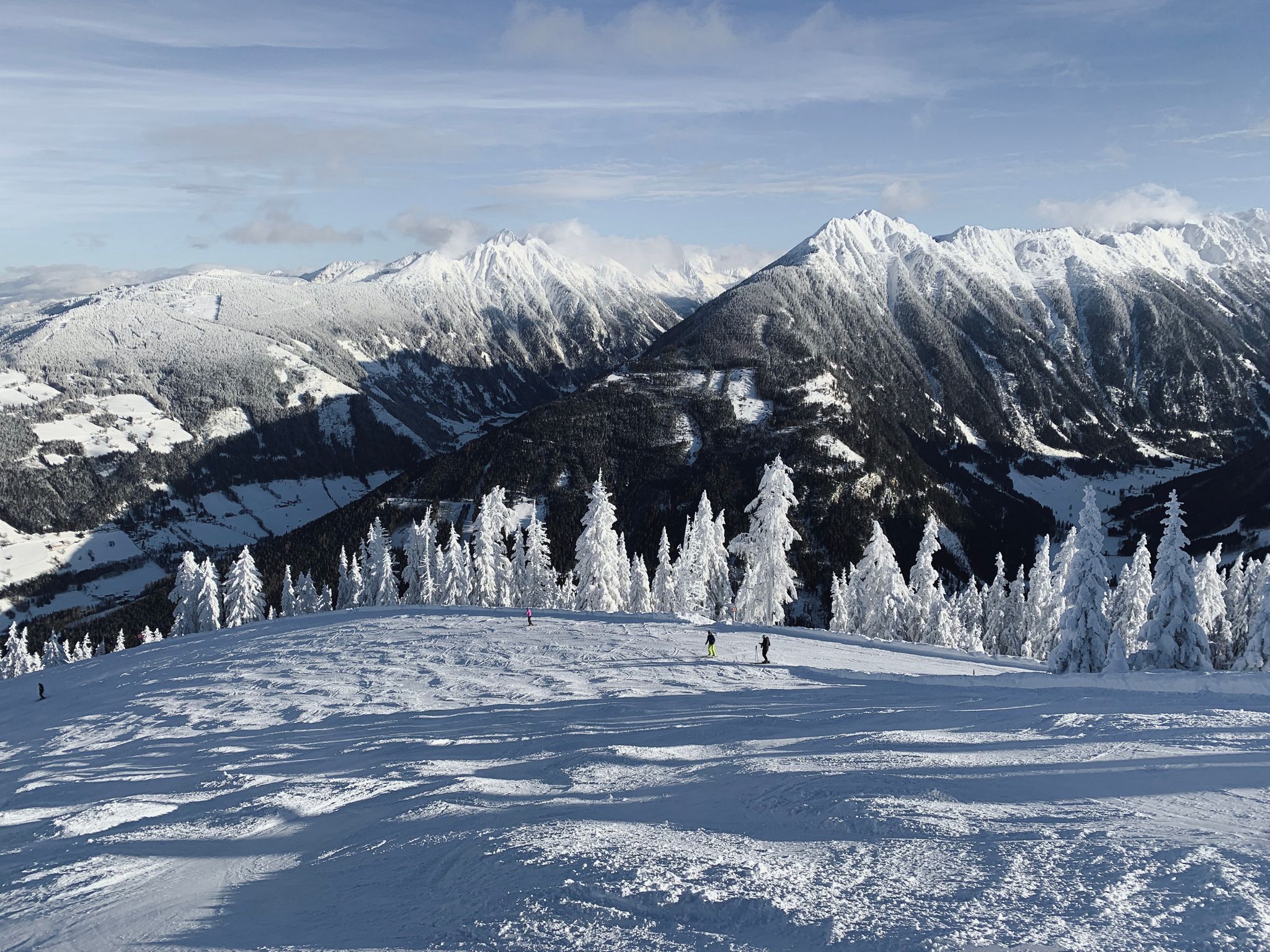
Cross-country in Schladming-Dachstein in Austria – 6 snowshoe Tours
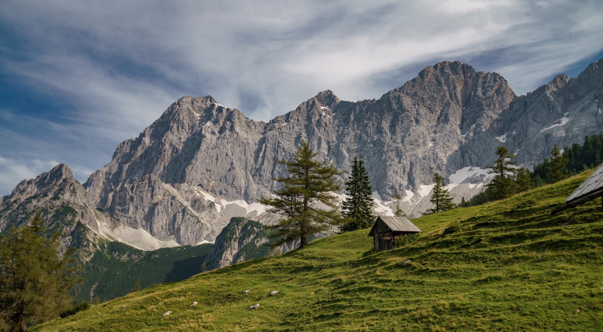
Dachstein hiking tour – 8 days in UNESCO World Heritage mountains

Discover Styria in Austria on foot – ‘From Glacier to Wine’ North Route
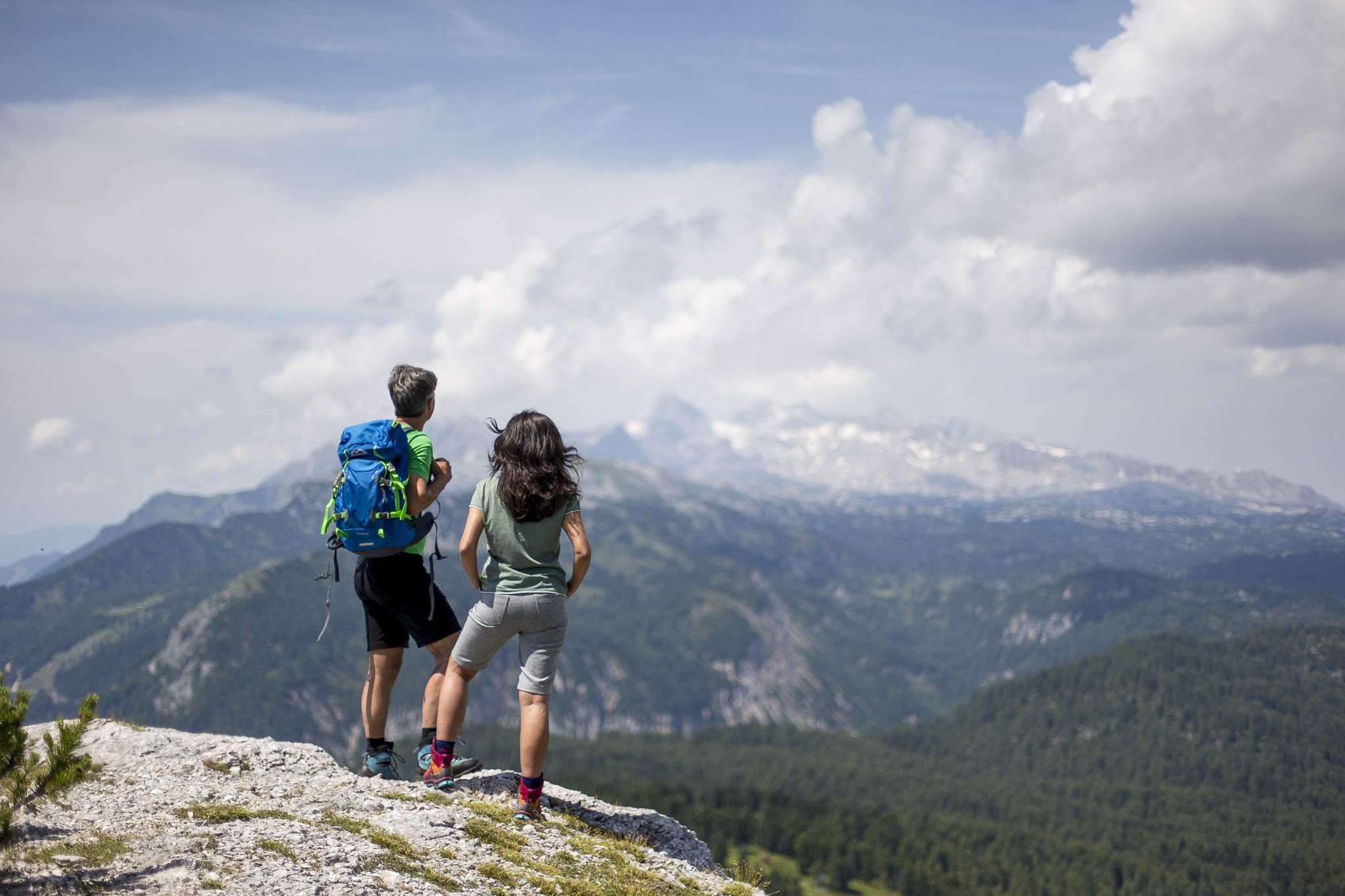
The most beautiful hikes for your summer in Styria

Magnificent mountain biking on Austria's alpine pastures
Cycling around the Kemet mountains
MTB Trails around the Kemet mountains
Road Cycling Routes around the Kemet mountains

Mountain Hikes around the Kemet mountains
Other adventures around the Kemet mountains


Tips from the Community

The path is not difficult to walk, but you have to go back the same way, or you go over the via ferratas with appropriate equipment.
0
0

Water filled with cool drinks on a hot summer day. A voluntary donation for a cool drink – a dream! 🤩
0
0

For those who like a thrill, the suspension bridge is ideal. :)
1
0

Even though the summit is "only" at a good 2000 meters, the climb is more than worth it. It can be reached from the parking lot in Weisenbach in about 3.5 minutes (if you're in good shape). The last few meters to the summit require some surefootedness, but otherwise it's a beautiful climb through the forest. The view is breathtakingly beautiful. I recommend the descent via Grafenbergsee (don't forget your swimming trunks 😉) and Ahornsee, as this is a very scenic route and allows you to experience the Alps and their nature/landscapes in all their diversity. For a round trip, you should plan on about 6-7 hours (19 km with 1400 m elevation gain).
0
0
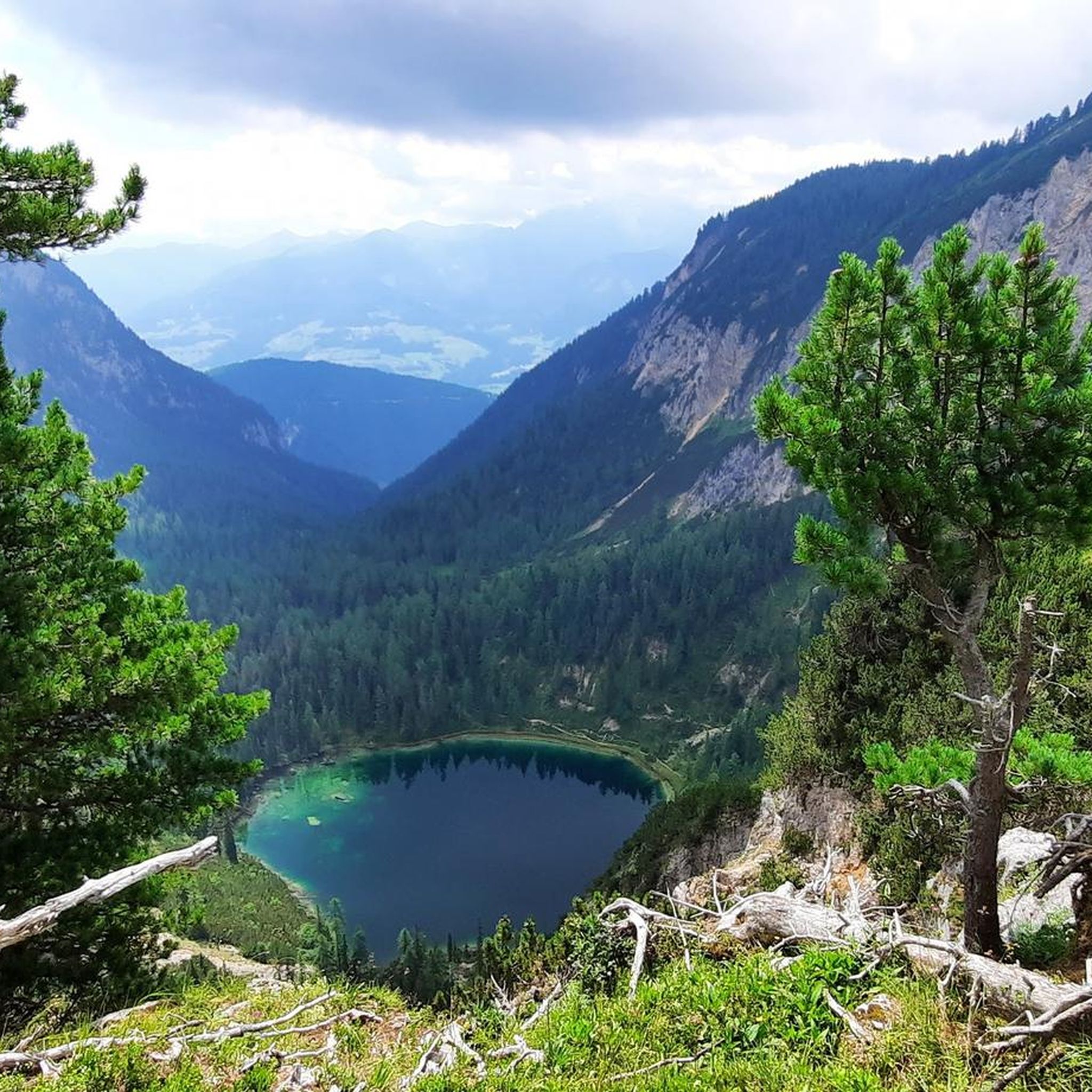
A beautiful lake nestled in the forest. It can be reached in about 3 to 3.5 hours from the valley in Weissenbach (alternatively, via Kufstein, a 3.5-hour hike). If the weather is good, don't forget your swimsuit; the water is crystal clear and, for a mountain lake, pleasantly warm. A refreshing dip in the water is definitely worth it, and you'll almost always have the lake to yourself.
0
0

The via ferrata is insane. Only for the brave with equipment
2
1
Very beautiful trail. You should be free from vertigo.
0
0

When descending from the Stoderzinken you have a breathtaking view of the Dachstein Mountains.
0
0
Frequently Asked Questions
What is the general difficulty level of hiking trails in the Kemet mountains?
The Kemet mountains offer a diverse range of hiking difficulties. You'll find options from easy strolls to challenging alpine ascents. Approximately 10 routes are considered easy, 25 are moderate, and 20 are difficult, providing choices for various fitness levels.
How long do hikes typically take in the Kemet mountains?
Hike durations vary significantly depending on the route and your pace. For example, the Gradenbach Valley to Ahornsee Trail is a difficult 7.9-mile (12.7 km) route that typically takes around 5 hours and 18 minutes. Shorter, moderate options like the Stoderzinken Summit Loop Trail cover about 3.2 miles (5.2 km) and can be completed in just over an hour and 40 minutes.
Are there family-friendly hiking options in the Kemet mountains?
Yes, the Kemet mountains offer several routes suitable for families. Many of the easy and moderate trails feature less elevation gain and shorter distances, making them ideal for hikers with children. It's always recommended to check the specific route details for suitability before heading out.
Can I bring my dog on hikes in the Kemet mountains?
Generally, dogs are welcome on trails in the Kemet mountains. However, it's crucial to keep them on a leash, especially in areas with livestock or wildlife, and to always clean up after them. Some protected areas or specific routes might have restrictions, so always check local signage.
Are there any circular hiking routes available in the Kemet mountains?
Yes, the region features several excellent circular routes. A popular choice is the Peace Chapel Stoderzinken – Stoderzinken summit cross loop from Gradenbachfall, a moderate 2.8-mile (4.5 km) path offering scenic views. Many other trails are designed as loops, allowing you to start and end at the same point.
What natural landmarks or points of interest can I explore while hiking?
The Kemet mountains are rich in natural beauty. You can discover stunning lakes like Lake Grafenberg and Almseeteich. The region also features impressive water features such as the Gradenbach Valley and a small lake with a waterfall, providing picturesque spots for a break.
When is the best time of year to go hiking in the Kemet mountains?
The best time for hiking in the Kemet mountains is typically from late spring (May) through early autumn (October). During these months, the weather is generally mild, and trails are clear of snow. Summer offers lush greenery and warmer temperatures, while autumn brings vibrant fall colors.
Is winter hiking possible in the Kemet mountains?
Winter hiking is possible, but it requires appropriate gear and caution due to snow and ice. Some trails may be groomed for winter use, while others might be impassable or require snowshoes/spikes. Always check current conditions and avalanche warnings before heading out in winter.
What kind of gear should I bring for hiking in the Kemet mountains?
Given the alpine terrain and potential for varied weather, it's advisable to bring sturdy hiking boots, layered clothing (including waterproof and windproof outer layers), sufficient water and snacks, a map or GPS device, and sun protection. Trekking poles can also be beneficial for elevation changes.
Are there places to eat or rest along the trails in the Kemet mountains?
Yes, you'll find several traditional mountain huts (Almhütten) in the Kemet mountains where you can stop for refreshments or a meal. Notable options include the Ritzinger Hut – Viehberg Alm, Steinerhaus mountain inn, and Stoderalm. These provide excellent opportunities to experience local hospitality and cuisine.
What do other hikers enjoy the most about hiking in Kemet mountains?
The Kemet mountains are highly rated by the komoot community, with an average score of 4.5 stars from over 6,000 reviews. Hikers often praise the region's diverse landscape, from alpine terrain and dense forests to scenic valleys, as well as the well-maintained trails and stunning views, particularly towards prominent peaks like Stoderzinken.
Where can I find parking or trailheads for hikes in the Kemet mountains?
Many popular trailheads in the Kemet mountains, especially near towns like Gröbming or areas leading to Stoderzinken, offer designated parking. For specific routes, it's best to check the individual tour descriptions on komoot, as they often provide details on starting points and parking availability.
Are there any trails that feature waterfalls?
Yes, the Kemet mountains are home to beautiful water features. The Gradenbach Waterfall – Ahorn Lake loop is a challenging route that specifically highlights the Gradenbach Waterfall, offering a refreshing natural spectacle along the way.
Most popular routes around the Kemet mountains
Most popular attractions around the Kemet mountains

Get inspired with the komoot mobile app


Explore more
Browse the best Hikes in other regions.
