The best running trails around Sørmarka
4.3
(129)
6,321
runners
303
runs
Jogging around Sørmarka provides access to an expansive green area characterized by varied terrain and extensive wooded sections, located south of Stavanger's city center. The region features a network of trails, predominantly through forests, offering both paved and more rugged surfaces. While generally not overly steep, the area is fairly hilly, providing elevation changes for runners. This natural environment supports diverse plant life and opportunities to observe local wildlife.
Best jogging routes around Sørmarka
- The most popular jogging route is…
Last updated: October 31, 2026
17
runners
10.6km
01:07
60m
60m
Moderate run. Good fitness required. Mostly paved surfaces.
2.0
(1)
10
runners
Moderate run. Good fitness required. Mostly paved surfaces.

13
runners
8.67km
00:55
80m
80m
Moderate run. Good fitness required. Mostly paved surfaces.
8
runners
5.82km
00:39
150m
150m
Moderate run. Good fitness required. Mostly paved surfaces.
6
runners
5.47km
00:37
120m
120m
Moderate run. Good fitness required. Mostly paved surfaces.
Get access to more routes and recommendations from other explorers.
Already have an account?
Our route recommendations are based on thousands of hikes, rides, and runs completed by other people on komoot.
Start today with a free account
Your next adventure awaits.
Tips from the Community

Mosvatnet is a shallow lake located just west of Stavanger city center, acting as a green oasis in the urban area. It is widely known for its rich birdlife, making it an interesting spot for birdwatching while you circle the water. The surrounding park connects directly to the Vålandsskogen forest and the Stavanger Art Museum.
0
0
The trail around Mosvatnet is a popular 3-kilometer loop located just outside Stavanger city center. This flat, gravel path is perfect for an easy walk, a morning run, or a relaxed bike ride. Known locally as "Mosikken," the area is famous for its rich birdlife. You can easily extend your trip into the nearby Vålandsskogen forest or stop by the Stavanger Art Museum along the way.
0
0
Located on the western shore of Lake Mosvatnet, the Stavanger Art Museum is a cultural stop easily accessible from the lakeside trail. The building itself is integrated into the surrounding parkland. Inside, you can see a significant collection of Norwegian art. It is a good place to take a break and visit the museum café.
0
0

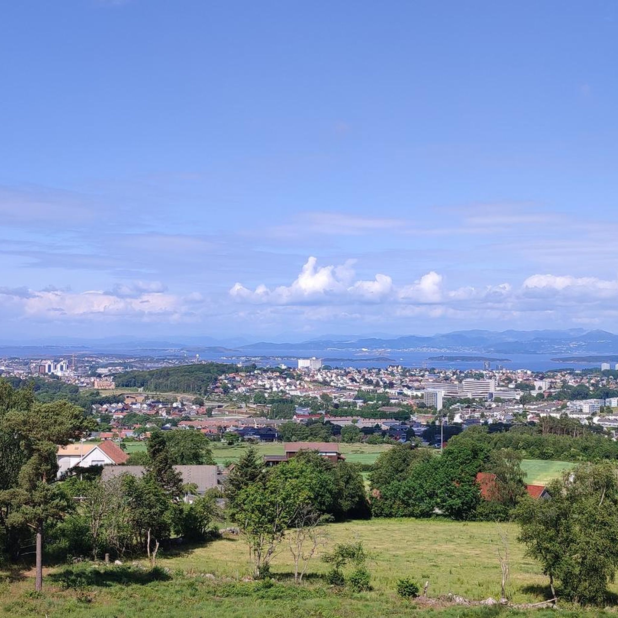
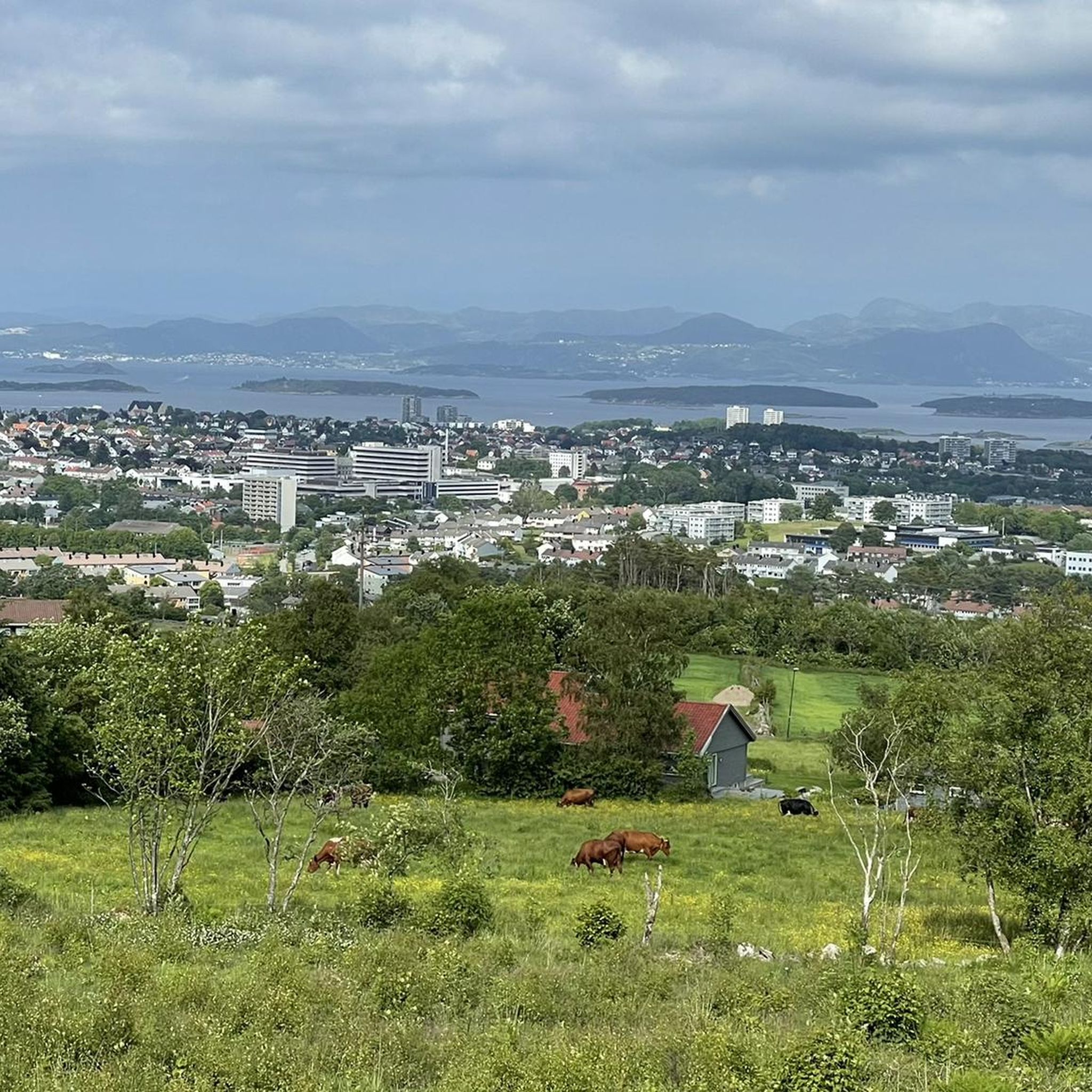
Sørmark is the largest continuous recreational area in the Stavanger city, situated about 5 km south of the center. It hosts the Sørmarka Arena, a major multi-purpose facility that includes a speed skating oval, an ice hockey rink, curling rinks, and one of Norway's tallest indoor climbing walls.
0
0

Here at Hafrsfjord is the royal monument Sverd i fjell (Swords in the Rock). History tells that Harald Fairhair united Norway into a kingdom here in 872. If the tradition is correct, Harald I received the nickname Fairhair because he only had his hair and beard cut again after defeating the other rulers. The monument consists of three swords stuck in the ground, symbolizing peace, unity, and freedom. The hilts of the Viking swords are modeled after sword finds from various parts of Norway. The monument was designed by Fritz Røed (1928-2002) and inaugurated by King Olav in 1983. (Height of the middle sword = 9.2 m) Source: www.visitnorway.de Anyone interested in the history of Harald I is highly recommended to visit Avaldsnes.
0
0


Swords in the Mountain (Norwegian: Sverd i Fjell) is a monument in the Norwegian city of Stavanger. It commemorates the Battle of Hafrsfjord in 872, as a result of which Harald Fairhair became the first king of Norway, and is a symbol of the resulting national unification of Norway. 📜 wikipedia
0
0
Frequently Asked Questions
How many running routes are available in Sørmarka?
Sørmarka offers an extensive network for runners, with over 330 routes available. These range from easy paths to more challenging trails, catering to various fitness levels.
What kind of terrain can I expect on the jogging trails in Sørmarka?
The terrain in Sørmarka is quite varied, predominantly featuring wooded areas and an extensive trail system. While generally not overly steep, the area is fairly hilly, providing good elevation changes for runners. You'll find options for both paved and more rugged surfaces.
Are there any family-friendly running routes in Sørmarka?
Yes, Sørmarka has routes suitable for families. Many of the trails are easy to moderate, offering a pleasant experience for all ages. The park's amenities, such as fire pits and open spaces, also make it a great place for a family outing combined with a run.
Can I bring my dog on the running trails in Sørmarka?
Sørmarka is generally dog-friendly, allowing you to enjoy a run with your canine companion. However, it's important to keep dogs on a leash, especially in designated areas and during certain seasons, to protect wildlife and ensure a pleasant experience for all visitors.
What are some notable landmarks or viewpoints I might encounter while running in Sørmarka?
You can incorporate several interesting features into your run. The Ullandhaugstårnet Tower offers great views and can be a challenging point to reach. The area also connects to the scenic Stokkavannet lake, providing extended running opportunities and beautiful natural scenery.
Are there any circular running routes in Sørmarka?
Yes, many of the routes in Sørmarka are designed as loops, allowing you to start and finish at the same point. For example, the Sørmarka – Botanical Garden loop from Lyse Arena is a popular 5.8 km trail that takes you through wooded areas and the Botanical Garden.
How do other runners rate the trails in Sørmarka?
The running routes in Sørmarka are highly rated by the komoot community, with an average score of 4.1 stars from over 60 reviews. Runners often praise the varied terrain, the tranquil atmosphere of the wooded areas, and the well-maintained paths.
What is the best time of year to go jogging in Sørmarka?
Sørmarka is accessible year-round, offering different experiences depending on the season. You can enjoy vibrant autumn colors, lush summer greenery, or the quiet beauty of winter. Trail conditions may vary with weather, so checking local forecasts is always recommended.
Are there running routes that connect to other green spaces or attractions?
Absolutely. Sørmarka is well-connected. For instance, the Stavanger Art Museum – Mosvatnet Lake loop from Lyse Arena connects cultural landmarks with the beautiful Mosvatnet Lake, offering a diverse running experience.
Where can I park when visiting Sørmarka for a run?
Sørmarka is easily accessible, and there are parking facilities available. For example, routes often start from locations like Lyse Arena or Universitetet i Stavanger (UiS), which typically have parking options nearby, making it convenient to begin your run.
Are there any challenging running routes for more experienced runners?
While many routes are moderate, the hilly terrain throughout Sørmarka provides opportunities for elevation gain, offering a good challenge. There are 77 difficult routes listed, providing options for those seeking a more strenuous workout. The Botanical Garden – Sørmarka loop from Lyse Arena, for example, features significant elevation changes.
Can I reach the running trails in Sørmarka using public transport?
Yes, Sørmarka is conveniently located approximately 5 km south of Stavanger's city center and is well-served by public transport. Many trailheads, such as those near Universitetet i Stavanger (UiS), are accessible via bus, making it easy to get to the starting points of various routes.
Most popular routes around Sørmarka

Get inspired with the komoot mobile app


Explore more
Browse the best Running Trails & Routes in other regions.
