The best walks and hikes around Die Die Kühlung
4.6
(7911)
43,349
hikers
36
hikes
Hiking around Die Die Kühlung offers a diverse experience across a forested ridge in Mecklenburg-Vorpommern, Germany. This hilly landscape is characterized by rolling hills and dense mixed forests, featuring deep natural pits and valleys that create a rugged terrain. Formed during the last Ice Age, the region includes geological remnants and elevations like the Diedrichshagener Berg, which reaches 129.8 meters above sea level. Numerous well-maintained hiking paths provide access to viewpoints with panoramic vistas of the surrounding nature and the…
Last updated: May 11, 2026
4.4
(7)
21
hikers
11.0km
02:59
160m
160m
Moderate hike. Good fitness required. Easily-accessible paths. Suitable for all skill levels.
4.0
(8)
22
hikers
Moderate hike. Good fitness required. Easily-accessible paths. Suitable for all skill levels.

Sign up for free
4.1
(7)
19
hikers
Easy hike. Great for any fitness level. Easily-accessible paths. Suitable for all skill levels.
4.7
(7)
39
hikers
10.2km
02:48
170m
170m
Moderate hike. Good fitness required. Easily-accessible paths. Suitable for all skill levels.
4.7
(6)
13
hikers
8.07km
02:13
130m
130m
Moderate hike. Good fitness required. Easily-accessible paths. Suitable for all skill levels.
Get access to more routes and recommendations from other explorers.
Sign up for free
Already have an account?
Our route recommendations are based on thousands of hikes, rides, and runs completed by other people on komoot.
Start today with a free account
Your next adventure awaits.
Login or Signup
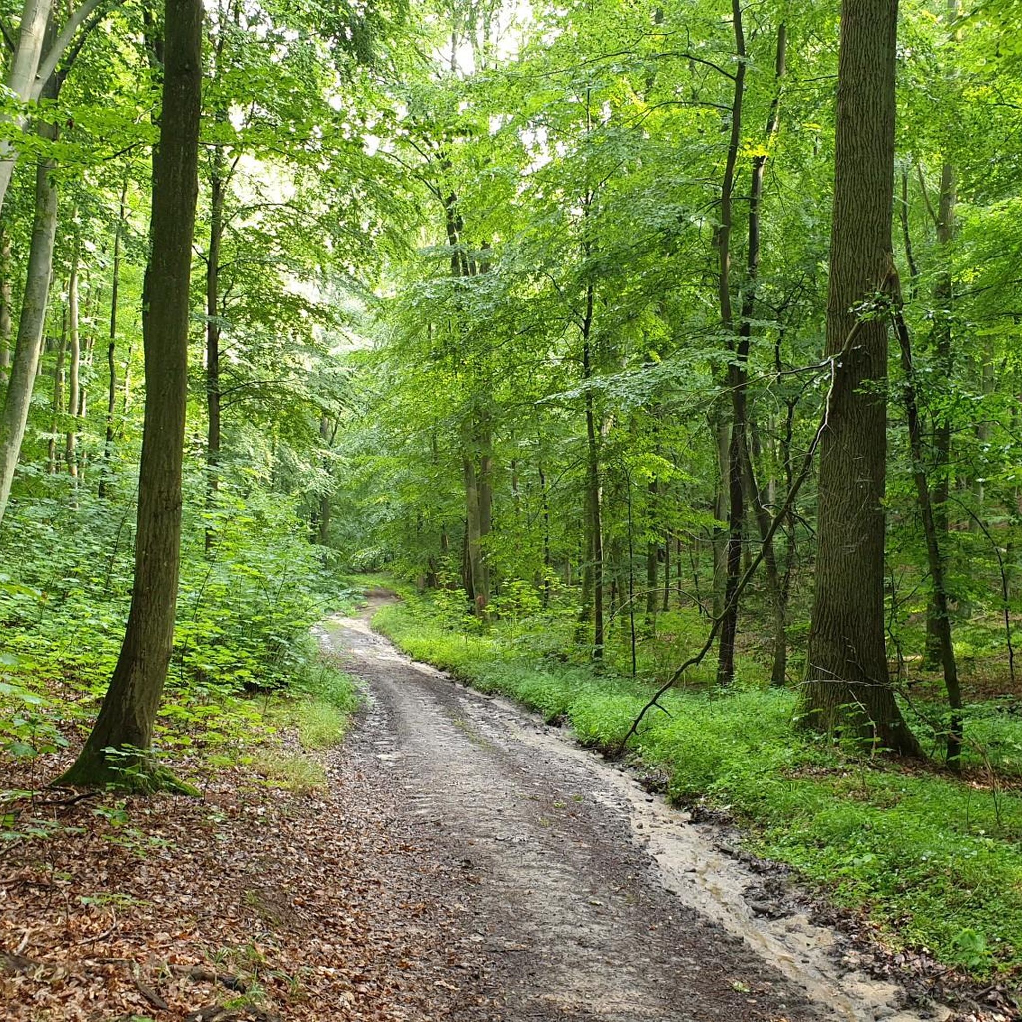
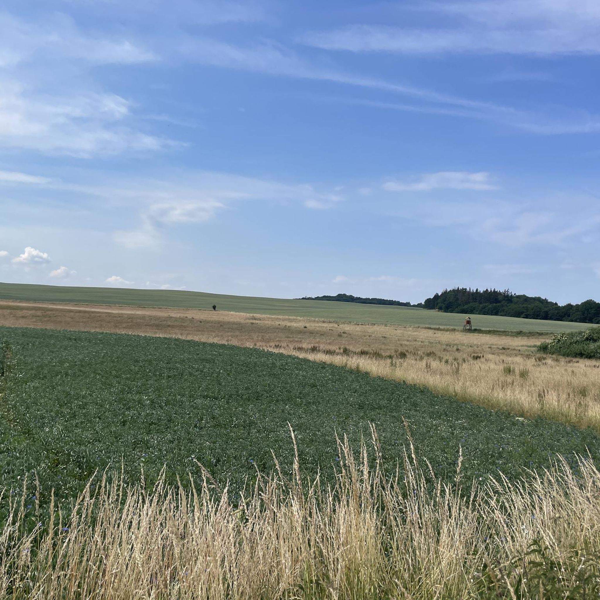
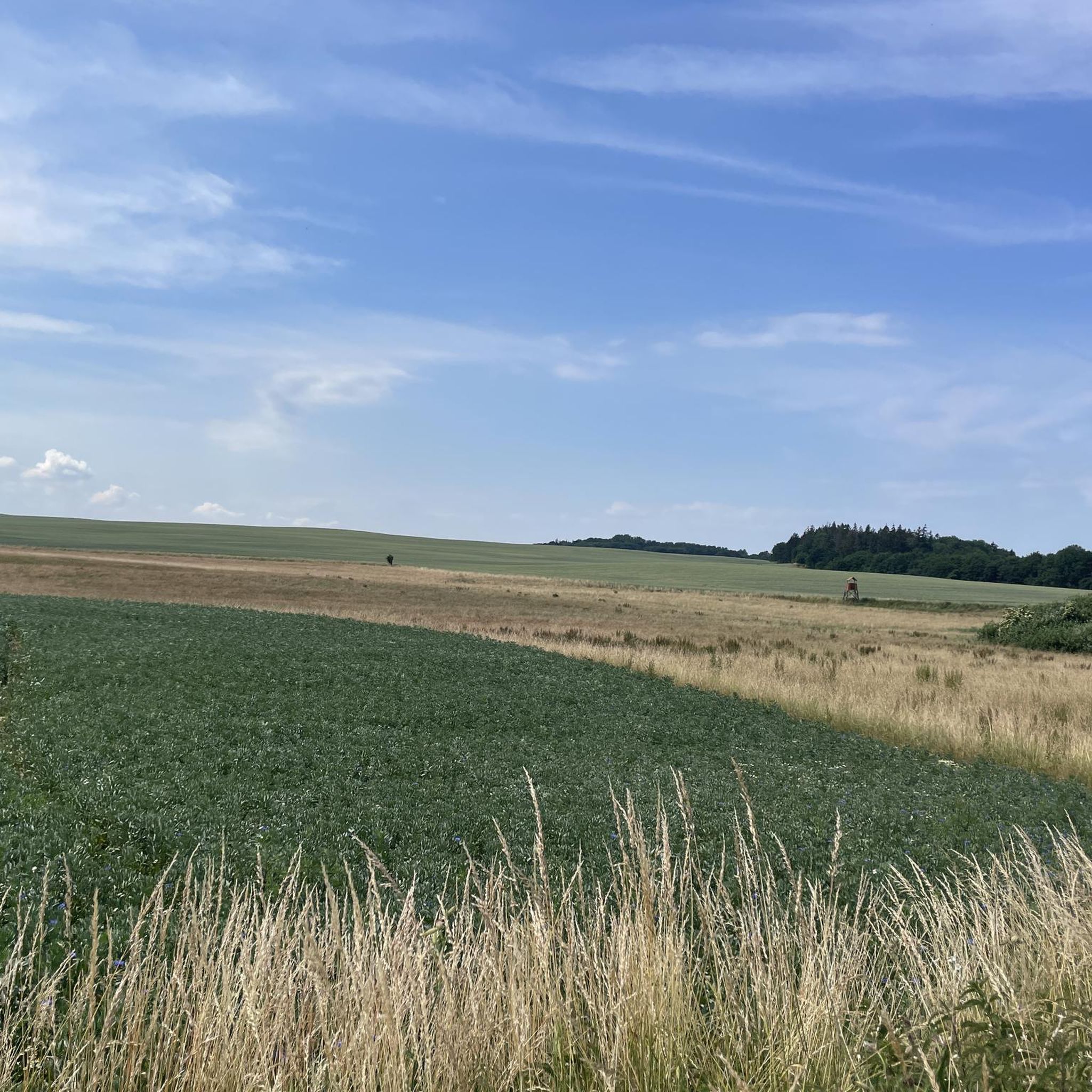
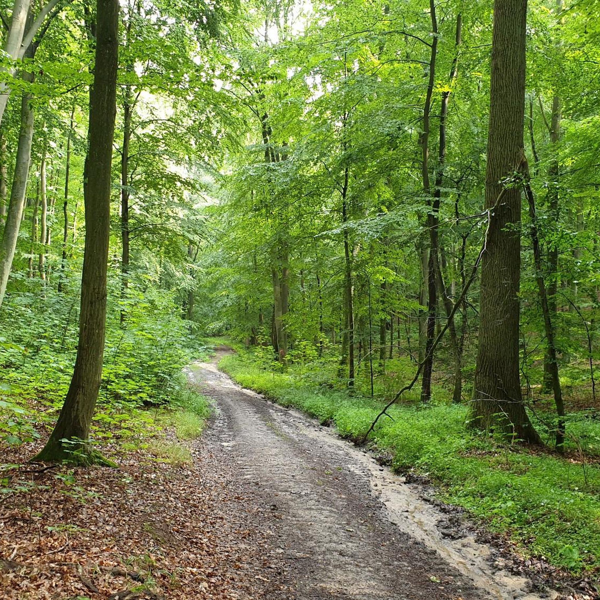
Tips from the Community

A hut for shelter (with a bench inside), many benches outside, and a fireplace invite you to rest.
0
0
The castle is just over 100 years old and houses holiday apartments, among other things. It is surrounded by a fence, which makes it not quite so easy to take a photo of it.
0
0


Well, hopefully this "highlight" will last a long time😅
0
0

☆ Always good... free parking.
3
0

Beautiful view of the surrounding area
1
0

Signage for hiking trails
3
0

Good for shelter in bad weather, but very neglected and dirty
7
0
Frequently Asked Questions
How many hiking trails are available in Die Kühlung?
Die Kühlung offers over 35 hiking trails, catering to various preferences and skill levels. The majority, 28 routes, are classified as easy, while 7 are moderate, providing a diverse range of options for explorers.
What is the typical terrain and difficulty level for hiking in Die Kühlung?
The terrain in Die Kühlung is characterized by rolling hills and dense mixed forests, with distinctive deep valleys and steep ascents that offer a more challenging experience than typical northern German landscapes. While many routes are easy, there are also moderate trails that provide a good workout, often involving elevation gains of up to 160 meters.
Are there any circular hiking routes in Die Kühlung?
Yes, many of the trails in Die Kühlung are circular, allowing you to start and end at the same point. For example, the Käbbelung Viewpoint Shelter – Idyllic Meadow Path loop from Buchenberg is a popular 10.9 km moderate circular route, and the Forest Path with Apple Trees – Mushrooms on Tree Trunk loop from Buchenberg offers an easier 6.6 km option.
What kind of natural features and landmarks can I expect to see while hiking?
Die Kühlung is rich in natural features and historical landmarks. You'll encounter dense mixed forests, rolling hills, and deep valleys. Notable points of interest include the Diedrichshagener Berg, the highest point in the region, and the Kühlung Ridge Forest Trails. The area also features ancient megalithic tombs and burial mounds, remnants of its long history.
Are there any viewpoints with panoramic views in Die Kühlung?
Yes, Die Kühlung offers several viewpoints with panoramic vistas. The View of Schloss Wichmannsdorf – View of the Baltic Sea loop from Bastorf trail, for instance, provides stunning views towards the Baltic Sea and the surrounding landscape. The Bastorf Lighthouse, located on the Bastorfer Signalberg, is another prominent landmark offering exceptional views towards Kühlungsborn and the coast.
Is Die Kühlung suitable for family-friendly hikes?
Absolutely. With 28 easy routes, Die Kühlung is well-suited for families. The varied forest paths and relatively gentle ascents on many trails make them enjoyable for all ages. The Forest Path with Apple Trees – Mushrooms on Tree Trunk loop from Buchenberg is an easy 6.6 km option that families might enjoy.
Can I bring my dog on the hiking trails in Die Kühlung?
Yes, Die Kühlung is generally dog-friendly, with many trails suitable for walks with your canine companion. The extensive woodlands provide plenty of shade and interesting scents for dogs. Always remember to keep your dog on a leash where required, especially in protected areas, and clean up after them.
What is the best time of year to go hiking in Die Kühlung?
Die Kühlung is beautiful year-round, but the best time for hiking is typically from spring to autumn. In spring, the forests burst with new growth, and in autumn, the mixed forests display vibrant colors. Summer offers a refreshing environment under the ancient oak and beech trees, especially along the cliff coast. Winter hiking is also possible, offering a serene, quiet experience.
Where can I find parking for hiking trails in Die Kühlung?
Parking is available at various trailheads throughout Die Kühlung. For example, the Bastorf Lighthouse Trailhead Parking is a convenient spot if you plan to explore the trails around Bastorf and the lighthouse. Many villages surrounding the Kühlung also offer designated parking areas for hikers.
Are there any facilities like shelters or rest stops along the trails?
Yes, you can find facilities such as shelters along some trails. For instance, the Wooden shelter with many benches and a fire pit is a highlight that offers a place to rest and potentially enjoy a break. Many routes also pass through or near villages where you can find cafes and restaurants.
What do other hikers enjoy most about Die Kühlung?
The hiking experience in Die Kühlung is highly rated by the komoot community, with an average score of 4.3 stars from over 75 reviews. Hikers often praise the diverse forest landscapes, the rolling hills that provide a good challenge, and the scenic views, especially those extending towards the Baltic Sea. The well-maintained paths and the peaceful atmosphere are also frequently highlighted.
Are there any trails that offer views of historical sites?
Yes, some trails in Die Kühlung provide glimpses of historical sites. The region has been settled since the Neolithic Age, and you can find numerous megalithic tombs and burial mounds. The View of Schloss Wichmannsdorf – Observation Tower Kühlung loop from Zimmerberg is one such route that offers views of historical architecture and the surrounding landscape.
Most popular routes around Die Die Kühlung
Most popular attractions around Die Die Kühlung

Get inspired with the komoot mobile app


Explore more
Browse the best Hikes in other regions.
