The best running trails around Reinhardswald
4.3
(42)
230
runners
30
runs
Jogging around Reinhardswald offers a diverse landscape characterized by extensive, contiguous forests and a range of hills. The region features ancient trees, including centuries-old oaks and beeches, particularly in areas like the Sababurg Primeval Forest. Varied terrain provides conditions from gentle paths to more challenging inclines, with elevations reaching up to 472 meters. The area is also framed by the rivers Weser, Fulda, and Diemel, offering scenic running routes along their banks.
Best jogging routes around Reinhardswald
- The most popular…
Last updated: September 27, 2026
57
runners
Hard run. Very good fitness required. Mostly paved surfaces. Suitable for all skill levels.
4.0
(2)
36
runners
Hard run. Very good fitness required. Mostly paved surfaces. Suitable for all skill levels.

2.0
(1)
13
runners
7.71km
00:49
90m
90m
Moderate run. Good fitness required. Mostly paved surfaces. Suitable for all skill levels.
5.0
(3)
11
runners
10.1km
01:09
180m
180m
Moderate run. Good fitness required. Mostly paved surfaces. Suitable for all skill levels.
8
runners
Moderate run. Good fitness required. Mostly paved surfaces. Suitable for all skill levels.
Get access to more routes and recommendations from other explorers.
Already have an account?
Our route recommendations are based on thousands of hikes, rides, and runs completed by other people on komoot.
Start today with a free account
Your next adventure awaits.
Popular around Reinhardswald
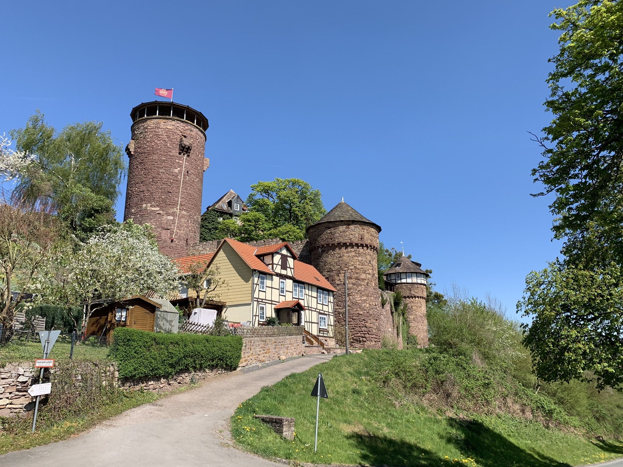
Hike the Fairy Tale Route – Enchanting days in Germany

The National Natural Landscapes in Hessen
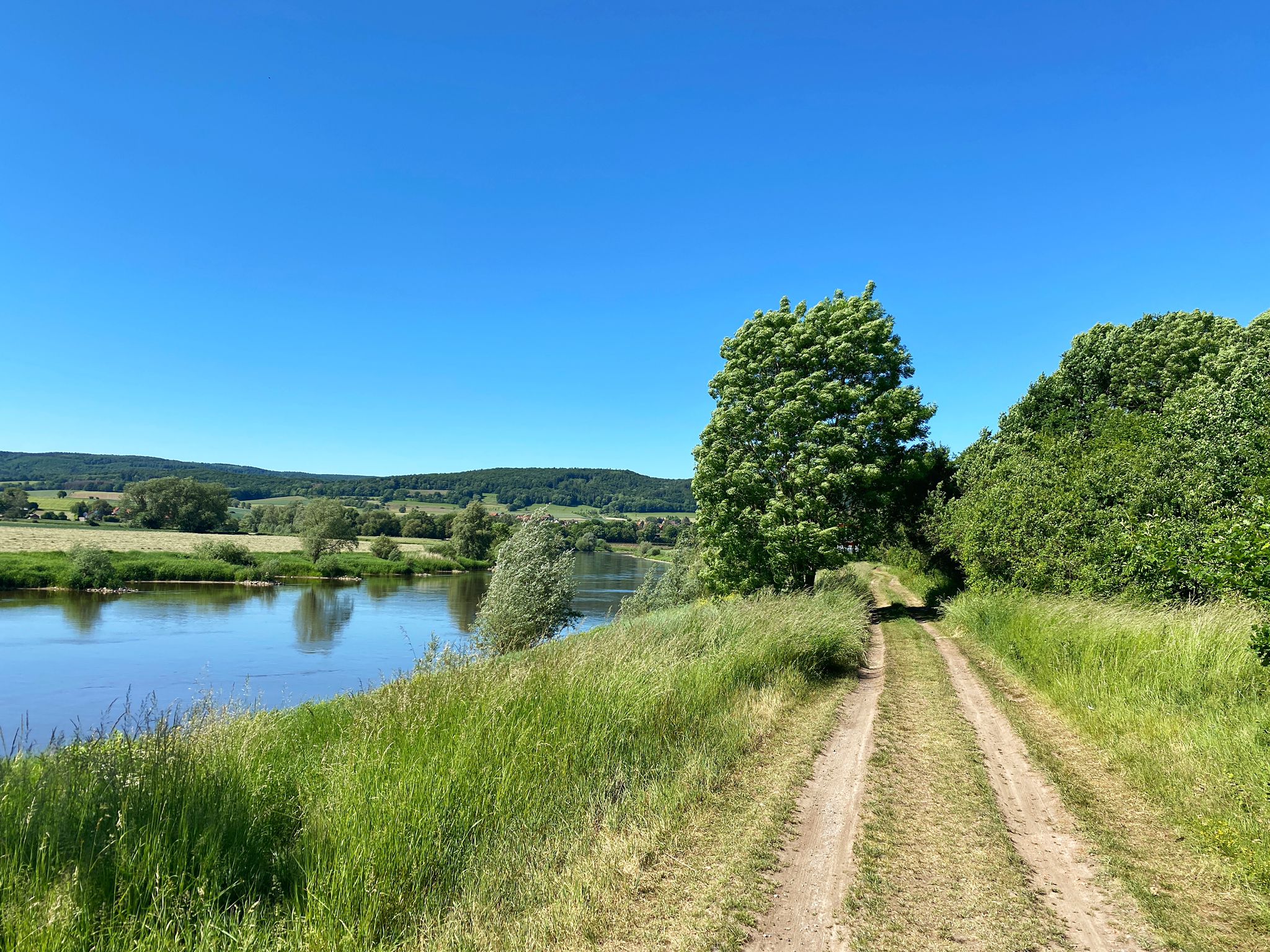
D:Route 9: Weser - Romantic Route
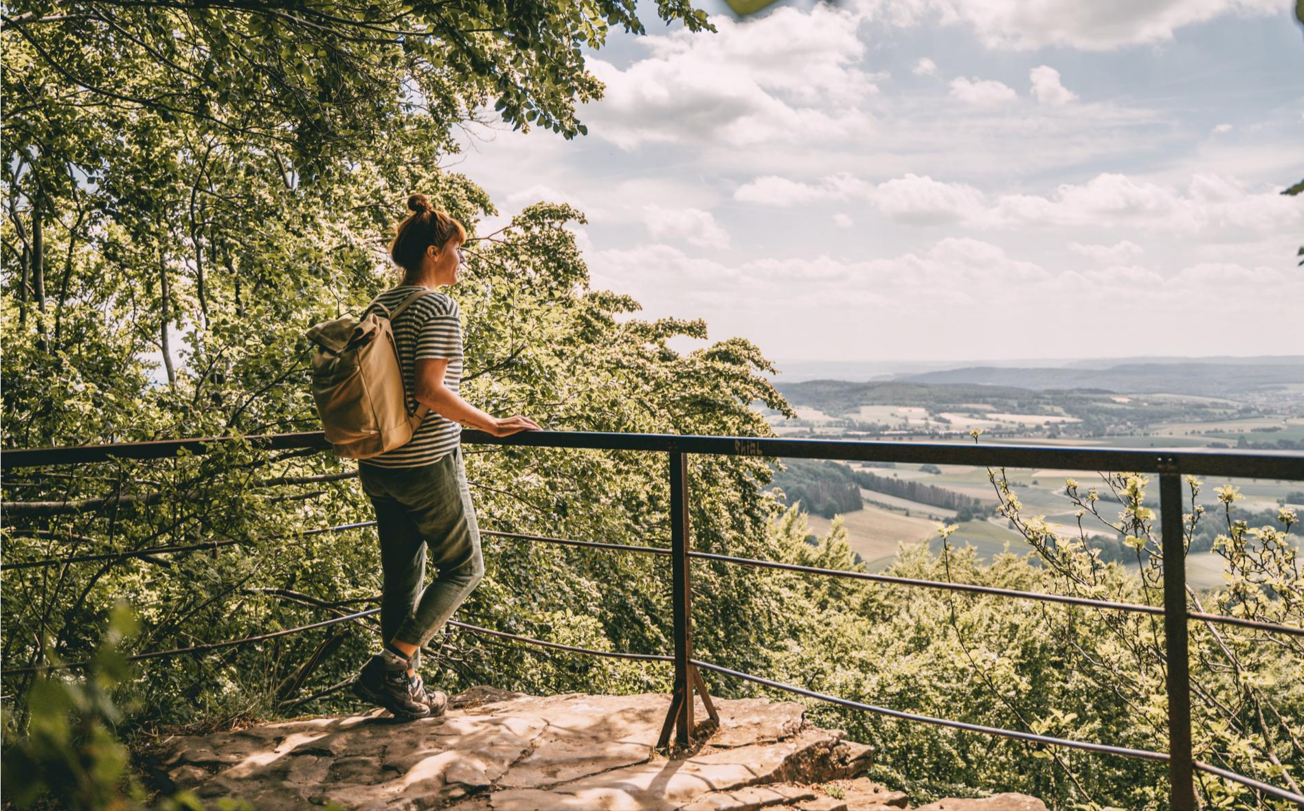
Fabulously scenic – hiking Germany’s Weserbergland Trail
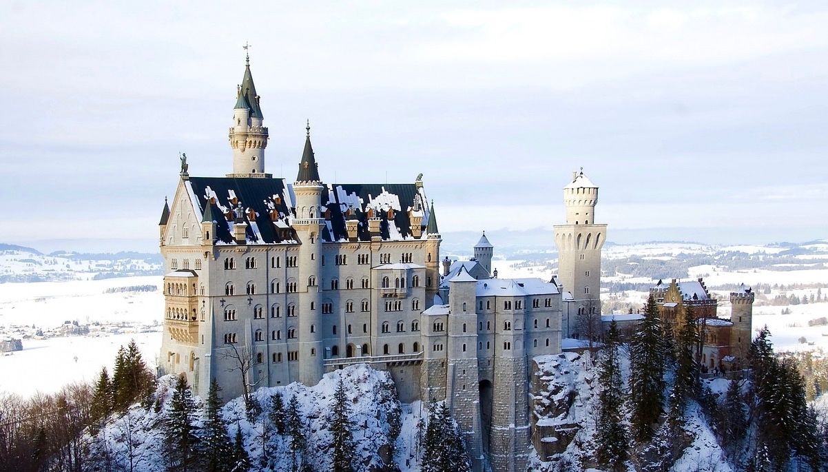
Like a fairytale – Germany during Advent
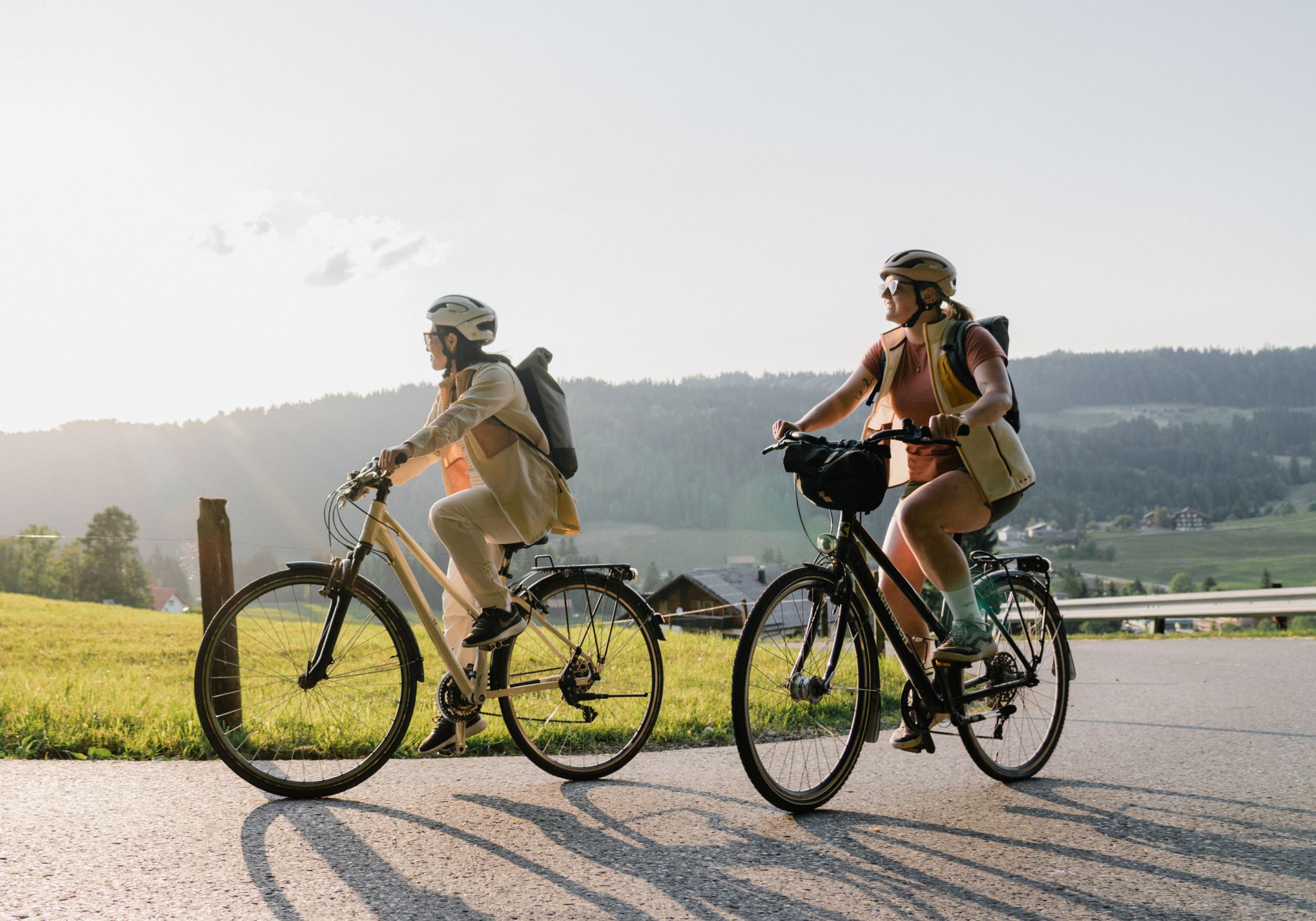
German Unity Cycle Route
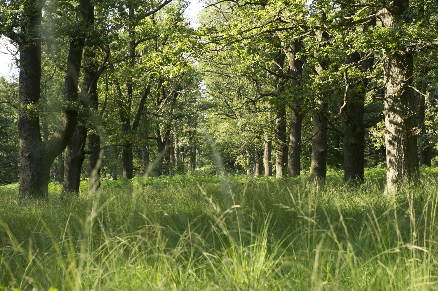
Entschleunigen in der GrimmHeimat NordHessen
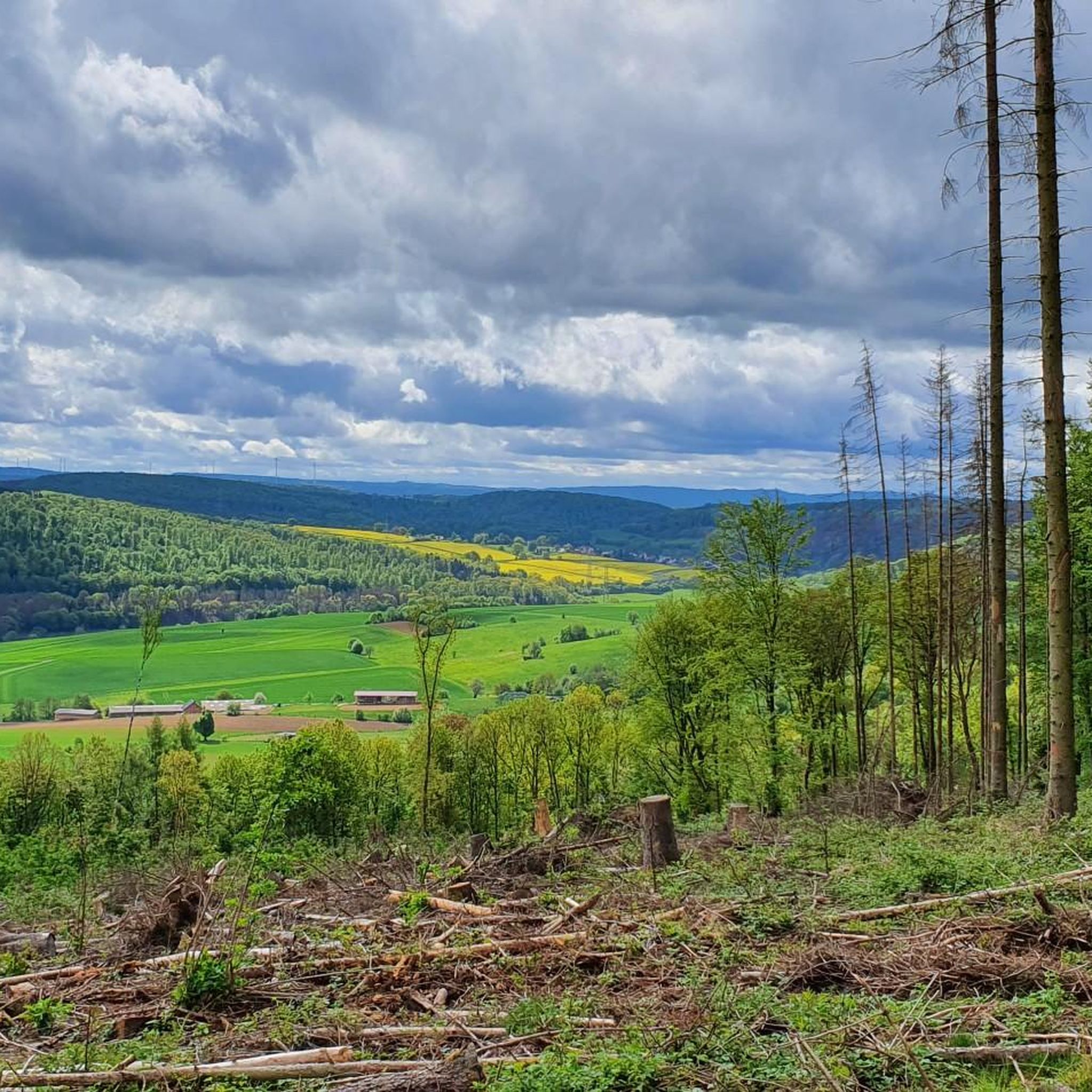
Hiking around Reinhardswald
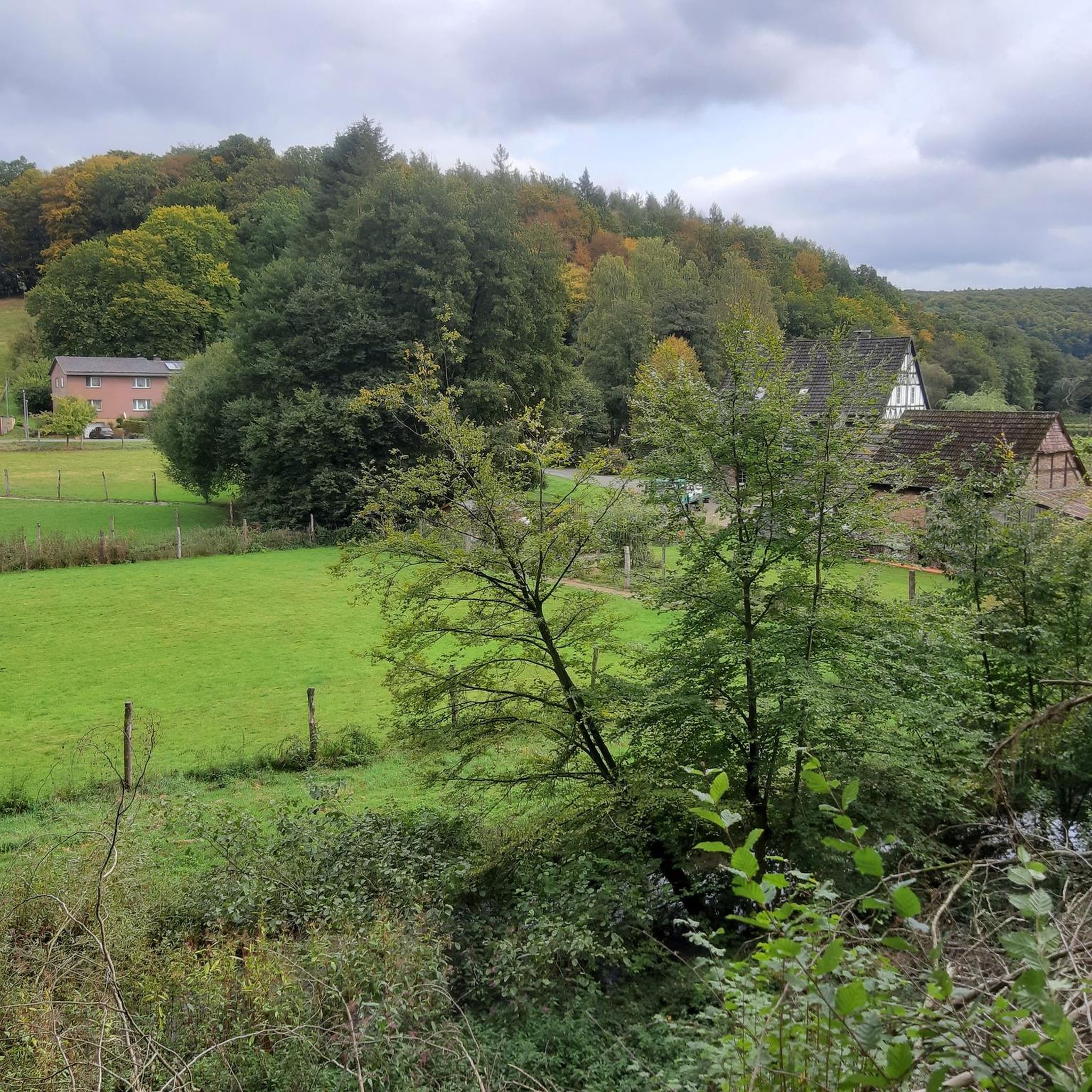
Road Cycling Routes around Reinhardswald
Cycling around Reinhardswald
Other adventures around Reinhardswald


Tips from the Community

Currently, in April 2026, the Weserstein stands alone without a tree at the confluence of the Fulda and Werra rivers to form the Weser.
0
0

This is where the Fulda and Werra rivers converge. This is where the Weser river begins.
3
0

This is where the Werra and Fulda rivers converge. A beautiful viewing platform is located here for enjoying the magnificent view of the Werra and Fulda 👍.
2
0

Beautiful tower, visible from afar. A good landmark.
1
1

Hiking here is a pleasure at any time of year.
1
0

Very well preserved building with interesting exhibits
0
0

The Huguenot Museum is housed in a former tobacco factory. It offers information about the city's history.
0
0
The museum is open Tuesday to Friday from 10 a.m. to 5 p.m. and Saturday and Sunday from 11 a.m. to 6 p.m.
0
0
Frequently Asked Questions
How many running routes are available in Reinhardswald?
Reinhardswald offers a wide selection of running routes, with over 30 trails available for exploration. These routes cater to various fitness levels, from easy jogs to more challenging runs.
What kind of terrain can I expect when running in Reinhardswald?
The Reinhardswald region features diverse terrain, characterized by extensive, contiguous forests and a range of hills. You'll find everything from gentle paths to more challenging inclines, with elevations reaching up to 472 meters. The area is also framed by the rivers Weser, Fulda, and Diemel, offering scenic routes along their banks.
Are there running routes suitable for beginners in Reinhardswald?
Yes, Reinhardswald has several routes suitable for beginners. There are at least 4 easy running trails available, perfect for those looking for a less strenuous jog or just starting out.
What do other runners say about the trails in Reinhardswald?
The running trails in Reinhardswald are highly regarded by the komoot community, with an average rating of 4.3 stars from over 40 reviews. More than 200 runners have used komoot to explore the varied terrain, often praising the immersive forest experience and well-marked paths.
Are there any scenic running routes with river views in Reinhardswald?
Absolutely. The Reinhardswald is framed by the Weser, Fulda, and Diemel rivers, providing excellent opportunities for scenic runs along the water. One popular option is the Mill Bridge, Hann. Münden – Weser Stone loop from Wilhelmshausen, which offers beautiful views along the Weser river.
Can I find circular running routes in Reinhardswald?
Yes, many of the running trails in Reinhardswald are designed as loops, allowing you to start and finish at the same point. A notable circular route is the Bad Karlshafen – Baroque Harbour, Bad Karlshafen loop from Reinhardswald, which takes you through the historic Baroque Harbour.
Are there any running trails that pass through ancient forests or natural monuments?
Yes, the Reinhardswald is renowned for its ancient trees and primeval forest areas. The Sababurg Primeval Forest – Sababurg Wildlife Park loop from Urwald Sababurg leads directly through ancient forests. You can also explore highlights like the Ancient Oaks of the Urwald Sababurg and Ancient Beech Trees at Urwald Sababurg, which are part of the region's natural monuments.
What are some interesting landmarks or points of interest I might encounter on a run?
Beyond the natural beauty, Reinhardswald offers cultural and historical landmarks. You might encounter attractions like Sababurg Castle (known as 'Sleeping Beauty's castle') or Trendelburg Castle. The Tillyschanze lookout tower provides panoramic views. For unique passages, the 202-meter-long Carlsbahn Tunnel, Hesse's oldest railway tunnel, is now open to hikers and cyclists, offering a cool passage on hot days.
Are there any running routes that are particularly challenging?
For experienced runners seeking a challenge, Reinhardswald offers several difficult routes. The Sababurg Primeval Forest – Sababurg Wildlife Park loop from Urwald Sababurg is a demanding 14.6-mile (23.6 km) path with significant elevation gain, leading through ancient forests.
Can I find running routes that are suitable for families?
While specific 'family-friendly' designations aren't always explicit, the presence of easy routes and attractions like the Sababurg Wildlife Park suggests that many trails can be enjoyed by families. Look for shorter, less strenuous loops or paths that pass by points of interest to keep younger members engaged.
Are dogs allowed on the running trails in Reinhardswald?
Generally, dogs are welcome on trails in the Reinhardswald, especially in the vast forest areas. However, it's always advisable to keep them on a leash, particularly in nature reserves, near wildlife, or in areas with livestock, to ensure their safety and respect for the environment and other users.
What is the best time of year to go running in Reinhardswald?
Reinhardswald is beautiful year-round. Spring brings lush greenery and blooming wildflowers, while autumn offers stunning foliage. Summer provides warm weather, though the dense forest cover offers shade. Winter running can be magical, especially after snowfall, but trails might be slippery. Always check local conditions before heading out.
Most popular routes around Reinhardswald
Most popular attractions around Reinhardswald

Get inspired with the komoot mobile app


Explore more
Browse the best Running Trails & Routes in other regions.
