The best cycling routes around Tharandter Wald
4.6
(184)
809
riders
62
rides
Touring cycling routes around Tharandter Wald traverse an expansive forest region southwest of Dresden, Germany. The landscape is characterized by gentle hills, deeply incised stream valleys, and vast mixed woodlands of beech, oak, spruce, and pine. Geologically, the area lies within an ancient volcanic caldera, contributing to unique formations. An extensive network of cycling paths, including both paved and unpaved sections, offers diverse experiences.
Best touring cycling routes around Tharandter Wald
- The most popular touring cycling route is Wooden Dock…
Last updated: September 30, 2026
4.7
(37)
121
riders
42.9km
02:48
450m
440m
Moderate bike ride. Good fitness required. Mostly paved surfaces. Suitable for all skill levels.
4.6
(9)
42
riders
22.7km
01:43
250m
250m
Moderate bike ride. Good fitness required. Mostly paved surfaces. Suitable for all skill levels.

4.5
(13)
40
riders
Moderate bike ride. Good fitness required. Mostly paved surfaces. Suitable for all skill levels.
4.6
(12)
26
riders
Moderate bike ride. Good fitness required. Mostly paved surfaces. Suitable for all skill levels.
4.7
(3)
38
riders
101km
06:35
1,230m
1,230m
Hard bike ride. Very good fitness required. You may need to push your bike for some segments of this route.
Get access to more routes and recommendations from other explorers.
Already have an account?
Our route recommendations are based on thousands of hikes, rides, and runs completed by other people on komoot.
Start today with a free account
Your next adventure awaits.
Popular around Tharandter Wald

Hiking with heart in the Ore Mountains
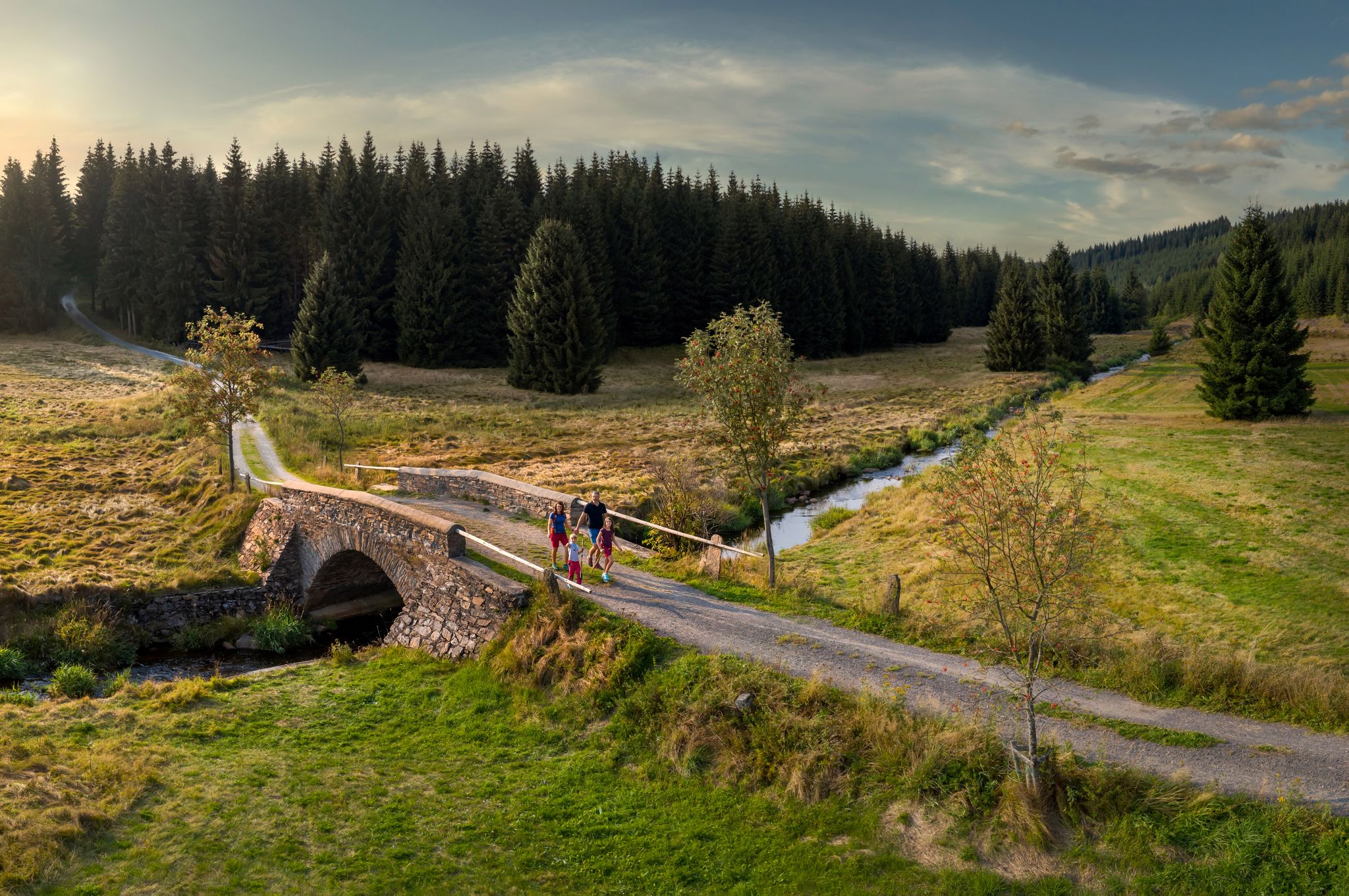
‘Good luck’ in the hiking paradise of the Ore Mountains
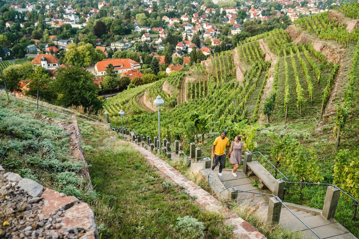
Great places closer to home – nature and fun in the Dresden Elbland
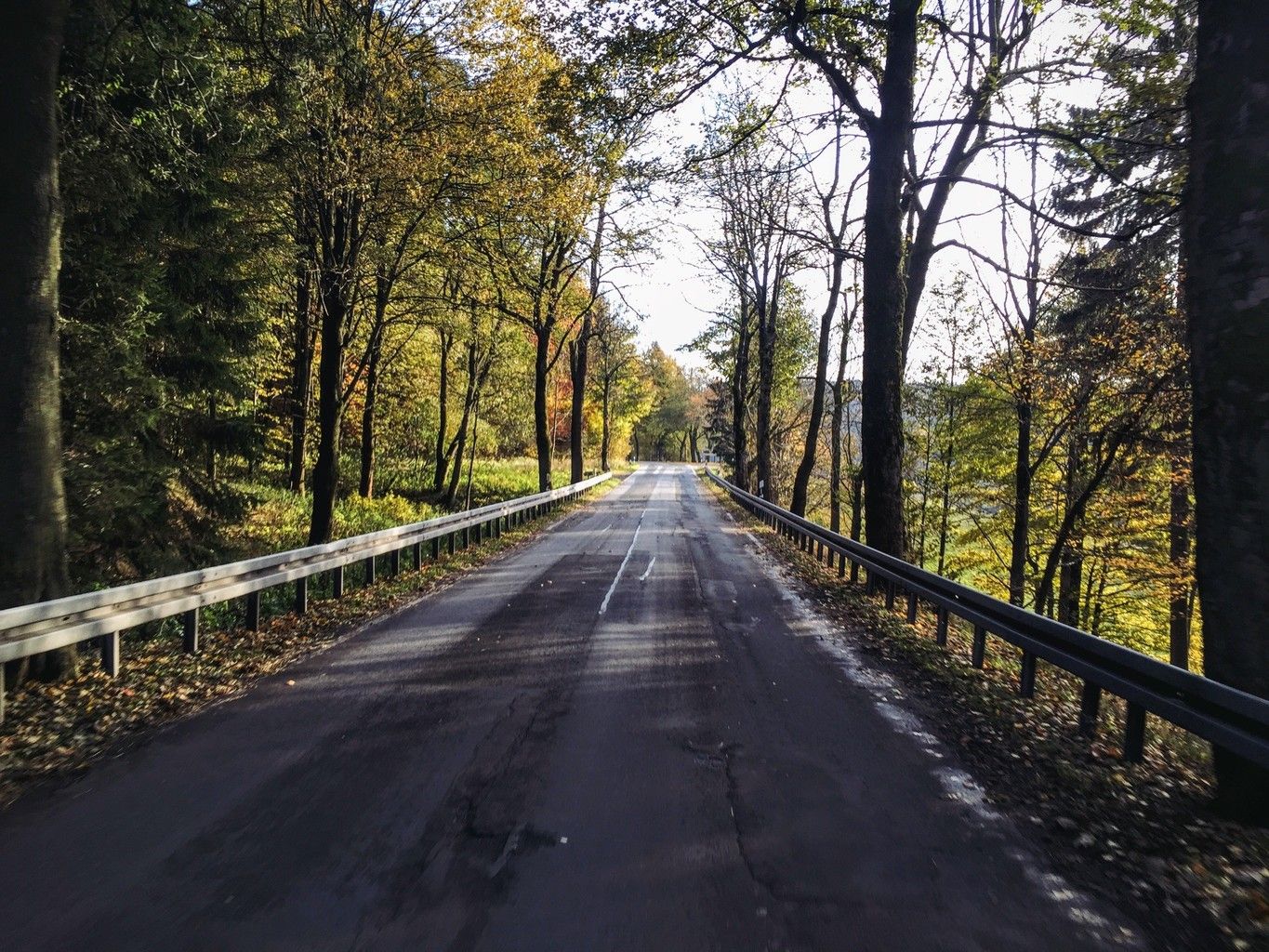
Weekend tours in the Ore Mountains

Digitale Wandernadel

Wandertouren - Eisenbahn & Wanderstock
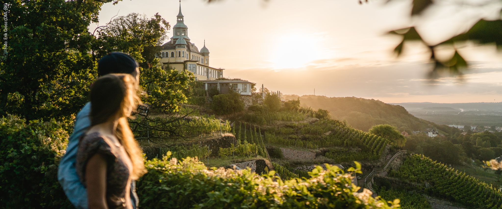
Natur entdecken – 10 Wandertouren abseits der Hauptpfade im Dresden Elbland
Hiking around Tharandter Wald
MTB Trails around Tharandter Wald
Running Trails around Tharandter Wald
Other adventures around Tharandter Wald


Tips from the Community

In the years 1910/11 it was built as a wooden bridge, hence the name, and allowed the works railway on its 3.7 km journey between the station and the dam construction to cross the "Langen Grund". The demolition of the wooden bridge and new construction in reinforced concrete took place in 1924 as the works railway line was used for the road layout. The bridge was technically checked and completely overhauled in 1992.
1
0
The dam of the Klingenberg reservoir is an arched gravity dam made of rubble masonry according to the Intze principle. Remarkable about this listed dam is the striking crown structure in the middle. A public path leads across the dam. The reservoir has a pre-dam, whose closing structure is an earth dam, and two forebays. The Lehnmühle reservoir is also part of the system, which had the function of a pre-dam until its construction and is today primarily a controlled part of the drinking water supply and flood defense. The raw water is diverted to the Dresden-Coschütz waterworks via the Dorfhain and Tharandt hydroelectric power plants. At the foot of the dam are the waterworks and the Klingenberg hydroelectric power plant. The flood of the Wilde Weißeritz in 2002 caused damage (scouring), especially at the dam's spillway and the 150 m long cascade flood relief with its seven drop stages. It was only designed for a maximum flood of 86 cubic meters per second, but there were peak discharges of 160 m³/s.
0
0
The Klingenberg dam in the eastern Ore Mountains is a picturesque reservoir and an important drinking water reserve. It was built between 1908 and 1914. The charming circular hiking trail is perfect for nature lovers, walkers, and families. The dam was built from 1908 near Klingenberg in the foothills of the Osterzgebirge according to an architectural design by Hans Poelzig. In 1914, the dam went into operation and was named after the last Saxon king: Friedrich-August-Talsperre. The impounded body of water is the Wilde Weißeritz. Its construction was part of a flood protection concept that was developed after the devastating flood of 1897 in the Dresden-Altstadt district under the leadership of district administrator and dam commissioner Arnold Streit. During construction, a standard-gauge works railway was laid from Klingenberg-Colmnitz station to the construction site, which operated from 1911 to 1914. The Höhenweg trail now runs along its route over the Streichholzbrücke (matchstick bridge).
0
0
The dam was built from 1908 onwards near Klingenberg in the foothills of the Ore Mountains, based on an architectural design by Hans Poelzig. In 1914, the dam went into operation and was named after the last Saxon king: Friedrich-August-Talsperre. The impounded body of water is the Wilde Weißeritz. Its construction was part of a flood protection concept that was developed after the devastating flood of 1897 by the district administration of Dresden-Altstadt under the leadership of District Administrator and Dam Commissioner Arnold Streit. During construction, a standard-gauge industrial railway was built from Klingenberg-Colmnitz station to the construction site, which operated from 1911 to 1914. The Höhenweg trail now runs along its route over the Streichholzbrücke bridge. (Wikipedia)
0
0

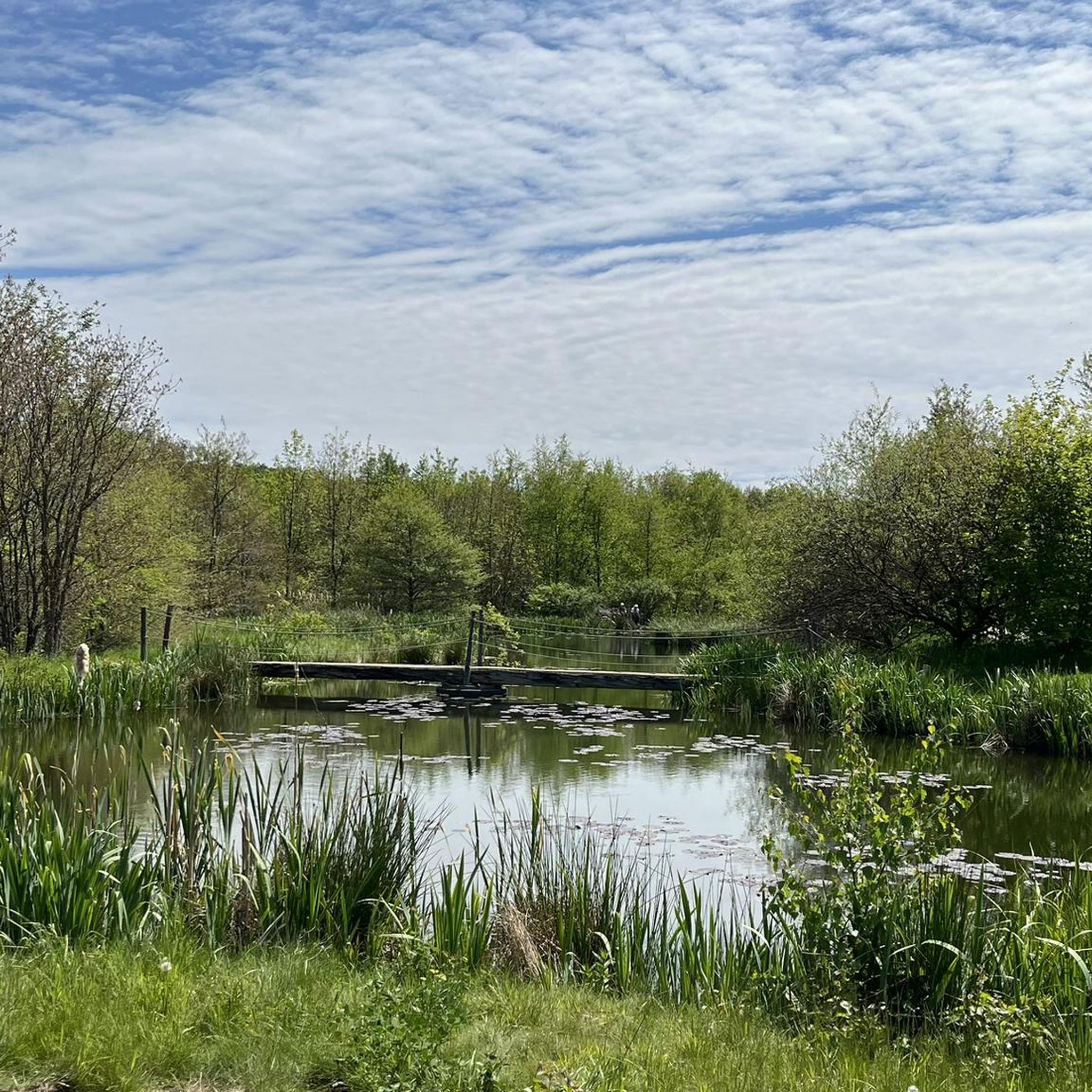
The Schlossteich in Grillenburg, with a water surface of approx. 21,000 square meters, invites you to go punting. There are 20 rowing boats available. After a relaxing punting trip, a break at the snack bar, which also offers plenty of seating, is worthwhile. https://www.dresden-elbland.de/de/poi/bootsverleih/gondelerlebnis-imbiss-grillenburg/805811735/
0
0

Old railway bridge - historically very interesting - built in only 7 months -
0
0

Beautiful path, but whoever is responsible for the gutters is completely incompetent. It's life-threatening. Road cyclists, in particular, please be extremely careful.
0
0

The ruins of Frauenstein Castle are located on a 680-meter-high granite porphyry rock on the ridge of the Eastern Ore Mountains near the town of Frauenstein in the district of Central Saxony. See: https://de.wikipedia.org/wiki/Burg_Frauenstein_(Erzgebirge)
3
1
Frequently Asked Questions
How many touring cycling routes are available in Tharandter Wald?
Tharandter Wald offers a wide selection of touring cycling routes, with over 60 options available on komoot. These routes cater to various skill levels, from easy rides to more challenging tours.
What kind of terrain can I expect on touring cycling routes in Tharandter Wald?
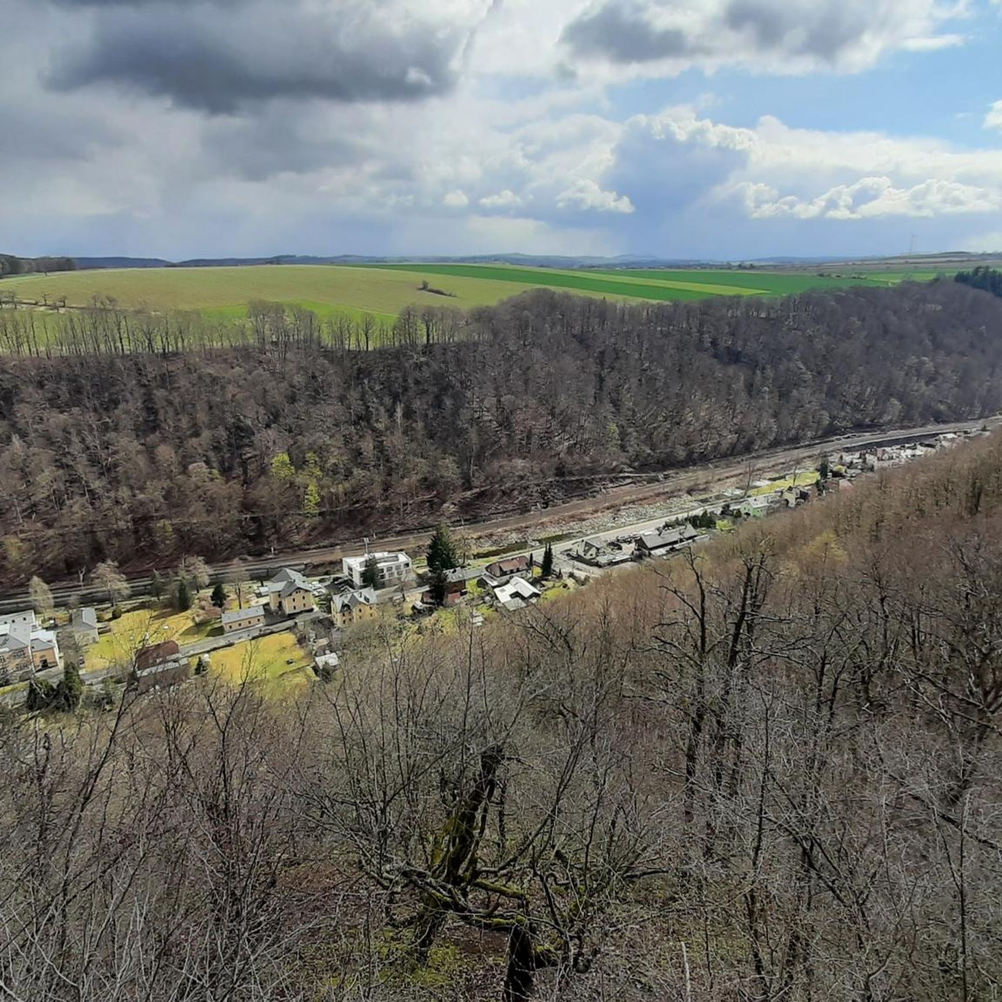
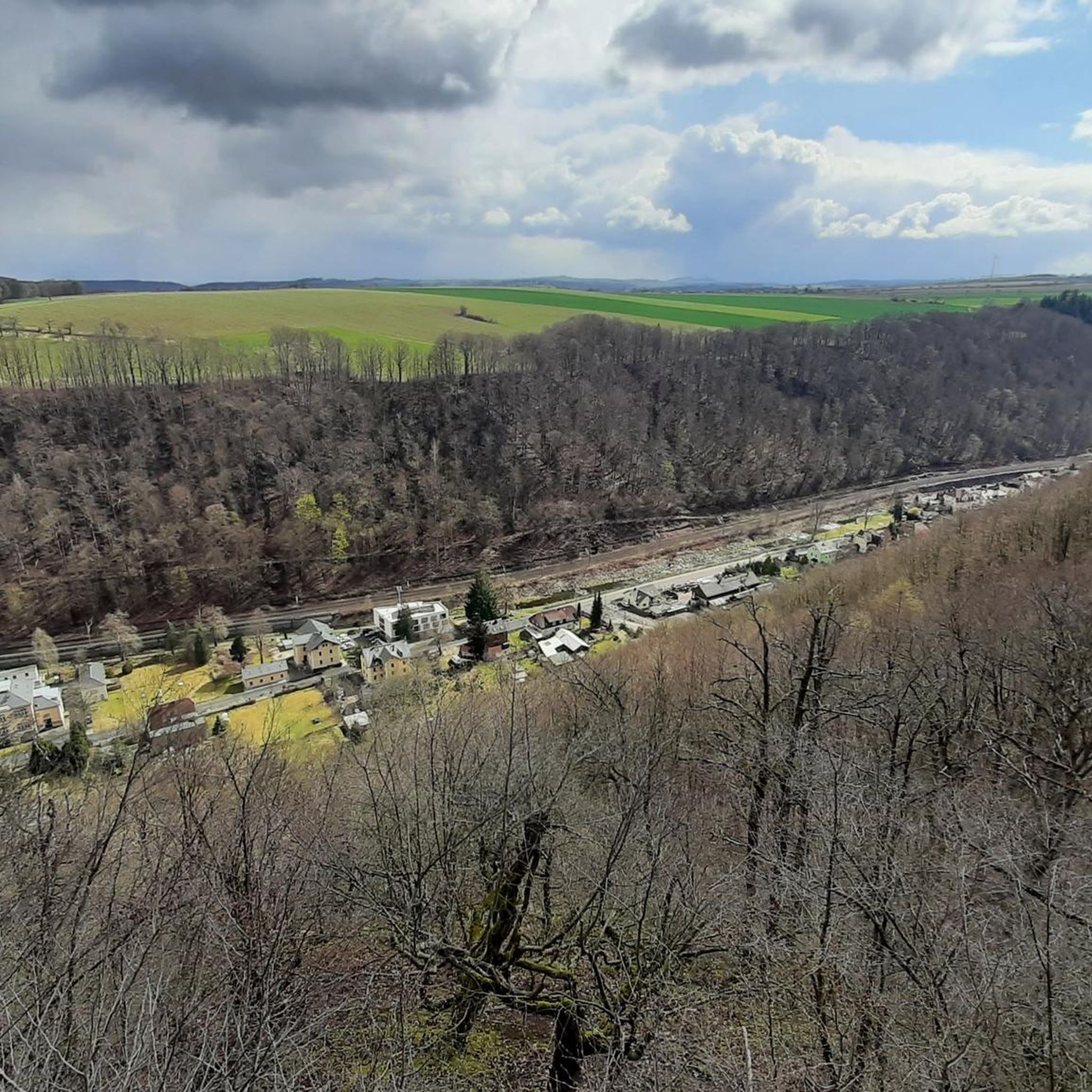
The terrain in Tharandter Wald is characterized by gentle hills and deeply incised stream valleys, offering a diverse cycling experience. You'll find a mix of both paved and unpaved sections, winding through vast mixed woodlands of beech, oak, spruce, and pine. The region's geological history, including an ancient volcanic caldera, contributes to its unique landscape.
Are there any easy, family-friendly touring cycling routes in Tharandter Wald?
Yes, Tharandter Wald has several easy routes suitable for families. For instance, the area around Grillenburg features a Walderlebnispfad (Forest Adventure Path) which is popular with families. While specific easy routes are not detailed here, komoot lists 7 easy touring cycling routes in the region, perfect for a relaxed family outing.
What are some notable natural features or landmarks to see while cycling in Tharandter Wald?
Tharandter Wald is rich in natural beauty and historical sites. You can explore the tranquil Lake Triebisch, the scenic Seer Pond, or the historic hunting lodge area of Grillenburg. The region also features unique geological formations like the Porphyrfächer near Mohorn-Grund, showcasing its volcanic past.
Are there any circular touring cycling routes in Tharandter Wald?
Yes, many routes in Tharandter Wald are designed as loops, allowing you to start and end at the same point. A popular example is the Wooden Dock at Triebischsee – Seer Pond loop from Dorfhain, which is a moderate 42.1 km ride. Another option is the Castle Pond – Jagdhaus Grillenburg loop from Tharandt, a moderate 25.1 km route.
What do other touring cyclists say about the routes in Tharandter Wald?
The touring cycling routes in Tharandter Wald are highly regarded by the komoot community, boasting an average rating of 4.7 stars from over 130 reviews. Cyclists often praise the diverse landscapes, well-maintained paths, and the peaceful atmosphere of the mixed woodlands.
Can I find challenging touring cycling routes in Tharandter Wald?
Absolutely. For experienced touring cyclists seeking a challenge, Tharandter Wald offers 27 difficult routes. An example of a more demanding ride is the Frauenstein Castle Ruins – Malter Reservoir loop from Tharandt, an 83.6 km route with significant elevation changes.
What is the best time of year for touring cycling in Tharandter Wald?
Tharandter Wald is enjoyable for touring cycling throughout much of the year. Spring and autumn offer pleasant temperatures and beautiful scenery with blooming flowers or vibrant fall foliage. Summer is also popular, though some paths might be busier. Winter cycling is possible, but be prepared for potentially muddy or icy conditions on unpaved sections.
Are there any specific routes that pass by lakes or reservoirs?
Yes, several routes incorporate the region's beautiful water bodies. The Along the Wilde Weißeritz – Klingenberg Reservoir loop from Klingenberg-Colmnitz takes you towards the scenic Klingenberg Reservoir. You can also find routes that pass by Lake Triebisch and Seer Pond.
Are there any historical sites accessible by touring bike in Tharandter Wald?
Yes, the region is dotted with historical points of interest. You can cycle to the area around Grillenburg, known for its historic hunting lodge, or explore the town of Tharandt with its castle ruins. The Gondelteich Grillenburg – Wooden Dock at Triebischsee loop from Grund is a moderate route that explores the Grillenburg area.
Is it possible to combine cycling with exploring botanical gardens or educational trails?
Absolutely. Tharandter Wald is home to the Forstbotanischer Garten Tharandt (Forest Botanical Garden), established by Heinrich Cotta, which is a significant site for forestry research and offers a diverse collection of trees. Additionally, numerous educational trails, such as the 'Weg der Lieder' (Path of Songs), are integrated into the forest, providing opportunities to learn about the local ecology and history while cycling or taking a break.
Most popular routes around Tharandter Wald
Most popular attractions around Tharandter Wald

Get inspired with the komoot mobile app


Explore more
Browse the best Cycling routes in other regions.
