The best MTB trails around Tharandter Wald
4.4
(58)
246
riders
38
rides
Mountain biking around Tharandter Wald offers a diverse landscape characterized by dense forests and rolling hills, situated within a caldera of volcanic origin. The Wilde Weißeritz river flows through this area, contributing to its varied terrain. Riders can encounter unique geological features such as basalt rock formations and explore a well-developed network of trails. The region provides a mix of challenging elements and scenic paths suitable for different skill levels.
Best mountain bike trails around Tharandter Wald
- The most popular mountain bike trail is Einsiedlerstein rock formation – Malter Dam loop from Tharandt, a 53.5 miles (86.1 km) trail that takes 7 hours 18 minutes to complete, featuring significant elevation gain.
- Another top favourite among local mountain bikers is Freiberger Mulde Valley – Along the Wilde Weißeritz loop from Edle Krone, a difficult 40.9 miles (65.8 km) path winding through river valleys and forested sections.
- Local mountain bikers also love the Klingenberg Dam – Along the Wilde Weißeritz loop from Klingenberg-Colmnitz, a 26.4 miles (42.5 km) trail leading through varied forest landscapes, often completed in about 3 hours 26 minutes.
- Mountain biking around Tharandter Wald is defined by dense forests, rolling hills, and trails that follow the Wilde Weißeritz river. The network offers options for different ability levels, from moderate to difficult.
- The routes in Tharandter Wald are highly rated by the komoot community with an average score of 4.4 stars from over 50 reviews. More than 250 mountain bikers have used komoot to explore Tharandter Wald's varied terrain.
Last updated: September 30, 2026
5.0
(2)
25
riders
85.8km
07:10
1,560m
1,560m
Hard mountain bike ride. Very good fitness required. Advanced riding skills necessary.
4.4
(10)
26
riders
65.8km
05:02
930m
930m
Hard mountain bike ride. Very good fitness required. Advanced riding skills necessary. Some portions of the route may require you to push your bike.

4.8
(13)
35
riders
50.4km
04:03
710m
710m
Moderate mountain bike ride. Good fitness required. Advanced riding skills necessary.
4.8
(5)
16
riders
66.2km
05:36
1,180m
1,180m
Hard mountain bike ride. Very good fitness required. Advanced riding skills necessary.
16
riders
123km
10:29
2,150m
2,150m
Hard mountain bike ride. Very good fitness required. Advanced riding skills necessary.
Get access to more routes and recommendations from other explorers.
Already have an account?
Our route recommendations are based on thousands of hikes, rides, and runs completed by other people on komoot.
Start today with a free account
Your next adventure awaits.
Popular around Tharandter Wald

Hiking with heart in the Ore Mountains
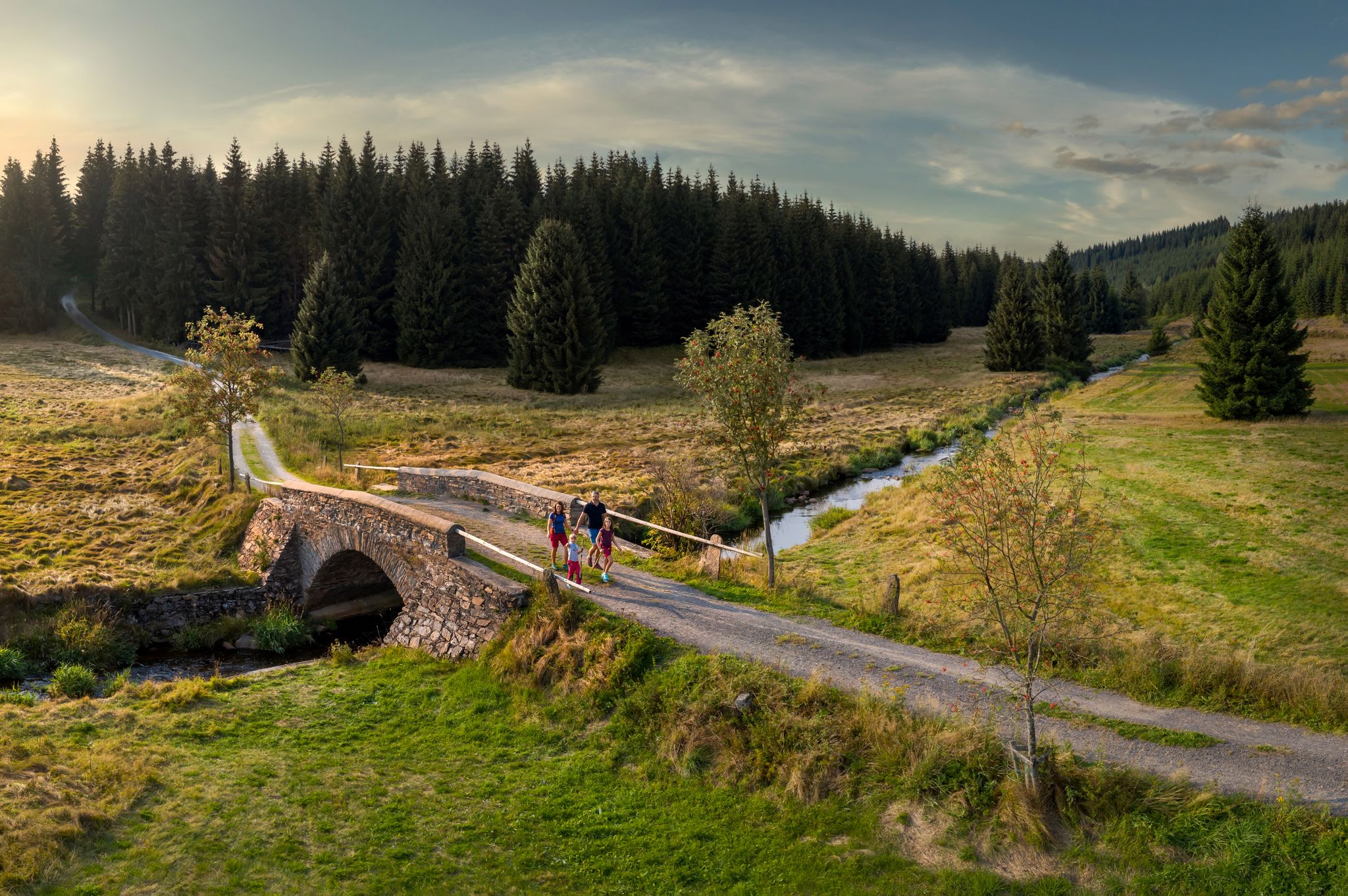
‘Good luck’ in the hiking paradise of the Ore Mountains
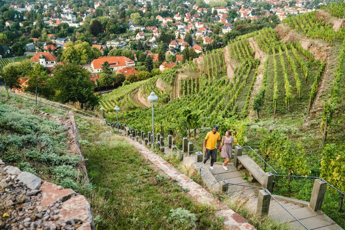
Great places closer to home – nature and fun in the Dresden Elbland
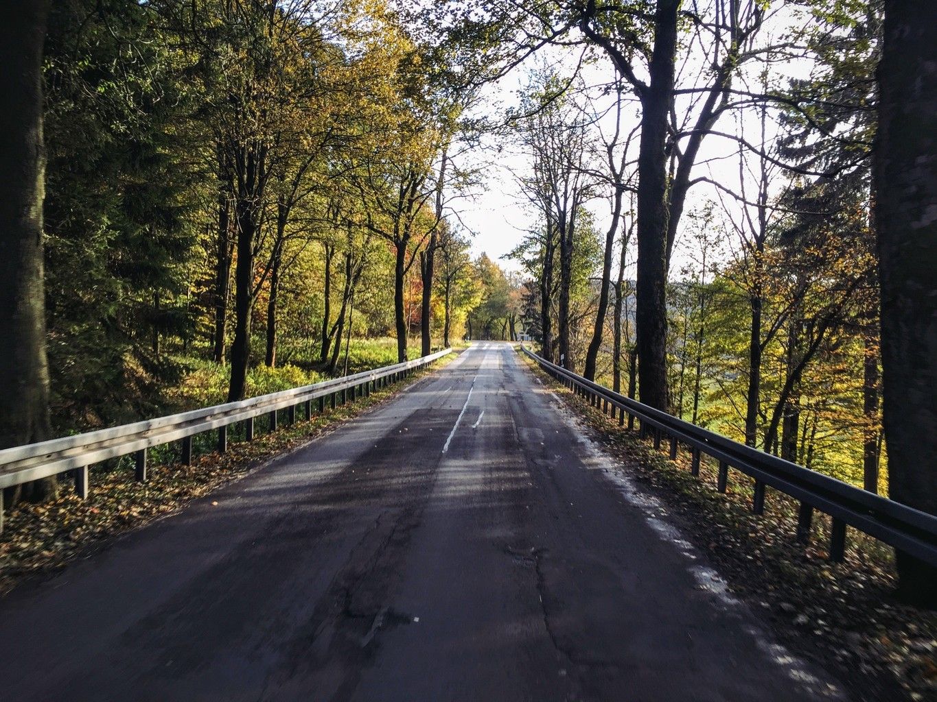
Weekend tours in the Ore Mountains

Digitale Wandernadel

Wandertouren - Eisenbahn & Wanderstock
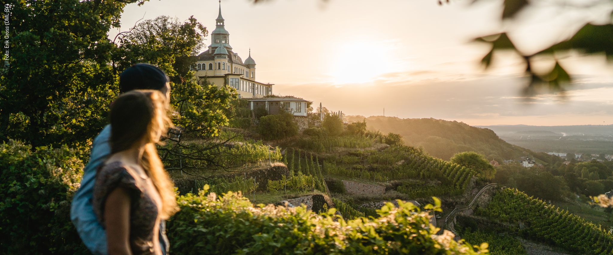
Natur entdecken – 10 Wandertouren abseits der Hauptpfade im Dresden Elbland
Hiking around Tharandter Wald
Cycling around Tharandter Wald
Running Trails around Tharandter Wald
Other adventures around Tharandter Wald


Tips from the Community

Small fine animal park https://www.tierpark-hoeckendorf.de/unser-tierpark
0
0

Simply a great view of the surroundings, from the highest mountain of the former Freital district.
0
0

This is not the view of the Lichtenberg dam, but of the Klingenberg dam.
0
0
Bathing, gondola rides or simply enjoying...
1
0

A very nice spot for a small or larger break. There is a circular path with many benches.
0
0

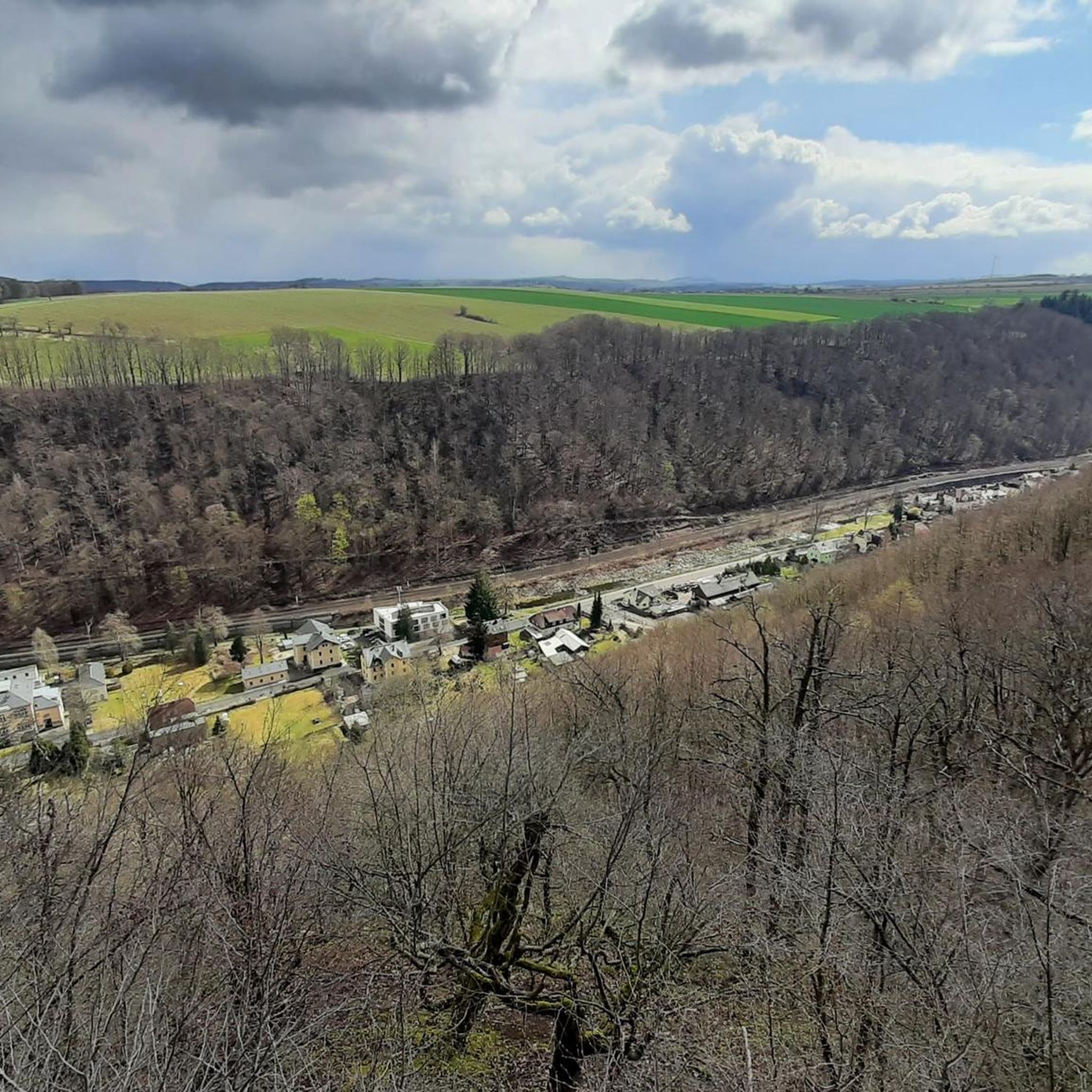
beautiful view over the treetops.
1
1

Nice spot to take a break. Sunny, nice seating on the rocks, elevated position.
0
0

It's simply breathtakingly beautiful here 😊.
0
1
Frequently Asked Questions
How many mountain bike trails are available in Tharandter Wald?
Tharandter Wald offers a wide selection of mountain bike trails, with over 40 routes documented on komoot. These trails cater to various skill levels, from easy paths to challenging rides.
What are the different difficulty levels for mountain biking in Tharandter Wald?
The trails in Tharandter Wald range from easy to difficult. You'll find 5 easy routes, 20 moderate routes, and 16 difficult routes, ensuring options for every skill level. The region's volcanic origin contributes to varied terrain, including challenging elements like steep slopes, roots, and narrow sections.
Are there any easy mountain bike trails suitable for beginners in Tharandter Wald?
Yes, Tharandter Wald has 5 easy mountain bike routes perfect for beginners or those looking for a more relaxed ride. These trails allow you to enjoy the dense forests and rolling hills without overly technical demands.
Can I find challenging mountain bike trails in Tharandter Wald?
Absolutely. Tharandter Wald is known for its challenging terrain, with 16 difficult routes available. Trails like Bellmans Losweg, Weißwangetrail, and Sieben Drehen feature elements such as fallen trees, steep slopes, roots, small rocks, and narrow sections. For adrenaline enthusiasts, the 'Thara Trails' bike park also offers various obstacles and difficulty levels.
What is the best time of year for mountain biking in Tharandter Wald?
The spring and autumn seasons are considered ideal for mountain biking in Tharandter Wald. During these times, the weather is mild, and trail conditions are generally favorable, allowing for a more enjoyable riding experience through the dense forests.
Are there family-friendly mountain bike routes in Tharandter Wald?
While many routes offer varied terrain, families might enjoy exploring areas around the Lake Triebisch or the Upper Pond (Black Pool). The Walderlebnispfad Grillenburg, a forest adventure trail, is also particularly appealing for families, offering interactive elements, though it's not specifically a mountain bike trail.
Are there circular mountain bike routes available in Tharandter Wald?
Yes, many of the mountain bike routes in Tharandter Wald are designed as loops. For example, the Einsiedlerstein rock formation – Malter Dam loop from Tharandt and the Freiberger Mulde Valley – Along the Wilde Weißeritz loop from Edle Krone are popular circular options that allow you to start and end in the same location.
What natural features or landmarks can I see while mountain biking in Tharandter Wald?
Tharandter Wald is rich in natural beauty. You can encounter unique geological features like basalt rock formations, which can reach heights of up to 16 meters, a testament to the region's volcanic origin. The Lake Triebisch offers tranquil spots, and the Wilde Weißeritz river flows through the area, creating scenic river valleys.
Are there any historical sites or other attractions near the mountain bike trails?
Yes, Tharandter Wald is dotted with historical and recreational attractions. You can explore the Tharandt Castle Ruins, dating back to the 13th century, or visit the Forest Botanical Garden, established in 1811. Other points of interest include the Aurora Erbstollen visitor mine and various monuments.
What do other mountain bikers enjoy most about the trails in Tharandter Wald?
The mountain bike routes in Tharandter Wald are highly rated by the komoot community, with an average score of 4.4 stars from over 50 reviews. Riders often praise the diverse landscape, the mix of challenging and scenic paths, and the well-developed network of trails that wind through dense forests and along river valleys.
Are there any specific trail conditions I should be aware of in Tharandter Wald?
Due to the region's natural characteristics and volcanic origin, trails can feature challenging elements such as fallen trees, steep slopes, roots, small rocks, and narrow sections. These conditions contribute to the diverse and engaging mountain biking experience in Tharandter Wald.
Can I bring my dog on the mountain bike trails in Tharandter Wald?
While Tharandter Wald is a popular area for outdoor activities, specific regulations for dogs on mountain bike trails can vary. It's generally advisable to keep dogs on a leash in forested areas and ensure they are well-behaved and do not disturb wildlife or other trail users. Always check local signage for any specific restrictions.
Most popular routes around Tharandter Wald
Most popular attractions around Tharandter Wald

Get inspired with the komoot mobile app


Explore more
Browse the best MTB trails in other regions.
