The best MTB trails around Dingolshausen
4.5
(612)
1,356
riders
189
rides
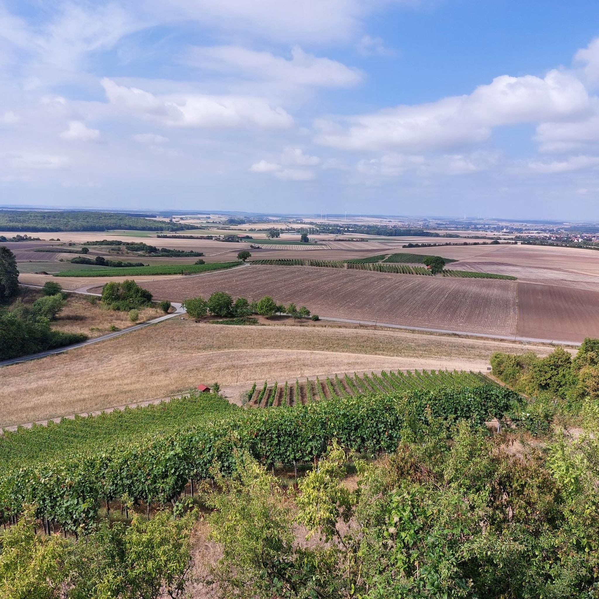
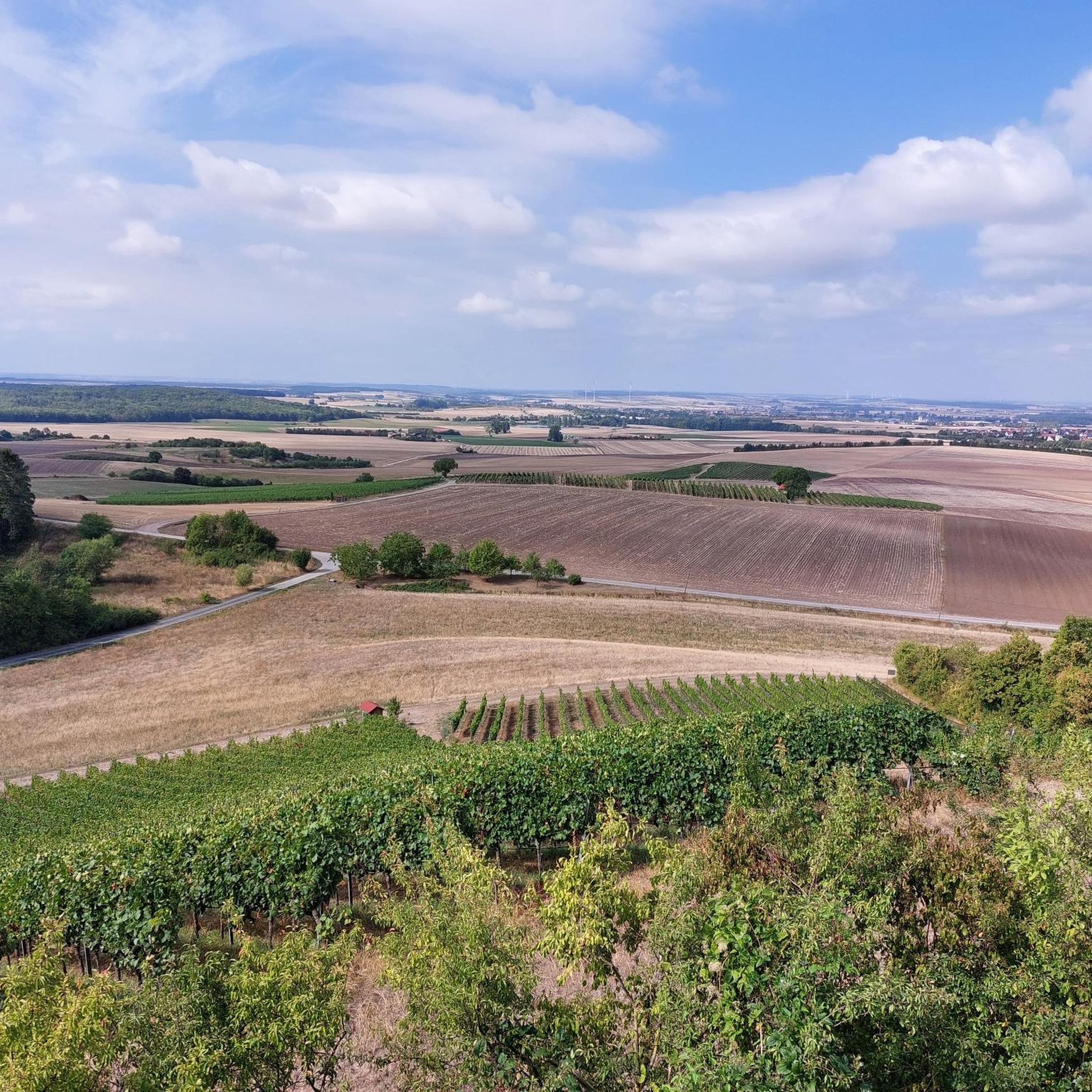
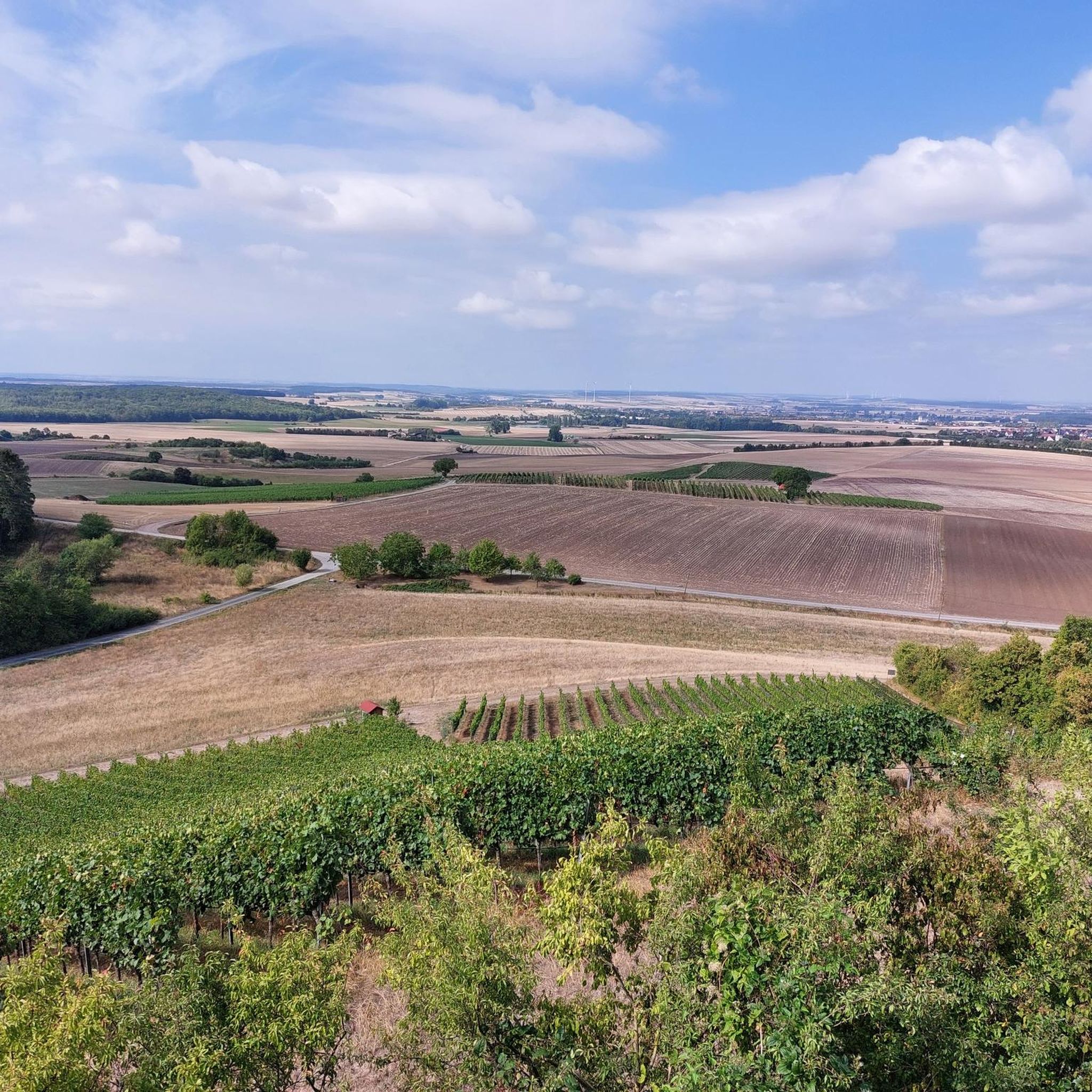
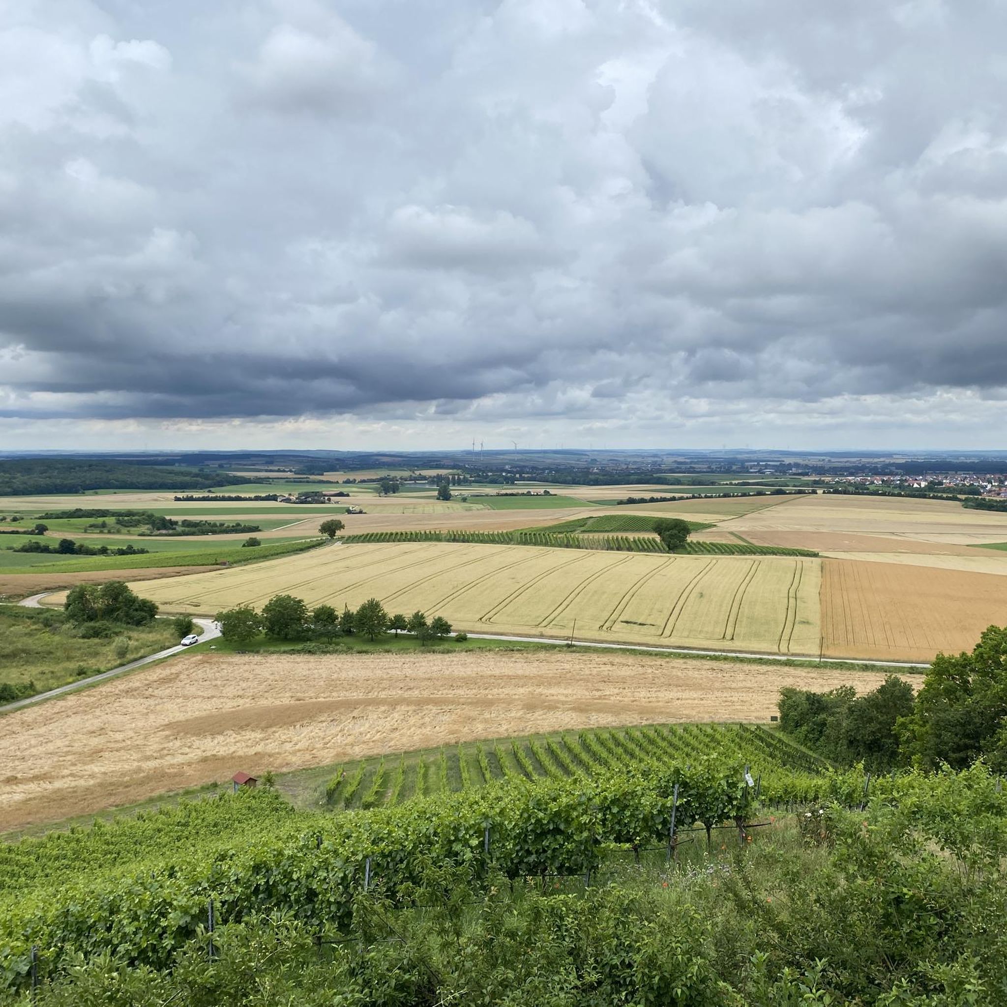
Mountain biking around Dingolshausen offers diverse terrain within Bavaria, Germany. The region is characterized by its location at the foot of the Steigerwald forest and within the scenic Volkach creek valley, providing a mix of forested trails and riverside paths. Riders encounter varied landscapes, including picturesque vineyards and rewarding ascents to historical castle ruins like Burgruine Stollburg. This combination of natural features and cultural landmarks creates a compelling environment for mountain biking.
Best mountain bike trails around Dingolshausen
- The most…
Last updated: October 4, 2026
4.8
(29)
81
riders
Hard mountain bike ride. Good fitness required. Advanced riding skills necessary. Some portions of the route may require you to push your bike.
4.4
(7)
26
riders
47.5km
02:56
260m
260m
Moderate mountain bike ride. Good fitness required. Suitable for all skill levels.

5.0
(6)
20
riders
47.5km
02:55
250m
250m
Moderate mountain bike ride. Good fitness required. Suitable for all skill levels.
4.0
(1)
7
riders
Moderate mountain bike ride. Good fitness required. Advanced riding skills necessary.
4.3
(8)
13
riders
Moderate mountain bike ride. Good fitness required. Advanced riding skills necessary.
Get access to more routes and recommendations from other explorers.
Already have an account?
Our route recommendations are based on thousands of hikes, rides, and runs completed by other people on komoot.
Start today with a free account
Your next adventure awaits.
Tips from the Community

With the increasing size of ships, the narrow radii of the Main loop became a problem in the 20th century. Therefore, between 1950 and 1957, the Main Canal was built, which bypasses the southern part of the Main loop. Along with the Main Canal, a lock and a hydroelectric power plant were also created. Nordheim and Sommerach thus became island villages on the "Wine Island".
1
0

Great 6 km trail - almost flat and perfectly rideable;
0
0

Beautiful wayside shrine by the roadside
1
0
Bank with a beautiful view
1
0
A beautiful wayside shrine with a picnic table and benches next to it for resting.
1
0

Although there is a lot of undergrowth in places, it is still a lot of fun to drive
0
0
Good resting option in the trail area
0
0
A good trail, but it also has some steep climbs.
0
0
Frequently Asked Questions
What kind of terrain can I expect on mountain bike trails around Dingolshausen?
Mountain biking around Dingolshausen offers diverse terrain, characterized by the dense woodlands of the Steigerwald forest, the scenic valley of the Volkach creek, and picturesque vineyard landscapes. You'll find a mix of forested trails, riverside paths, and rolling hills, with rewarding ascents to historical castle ruins.
How many mountain bike trails are available in the Dingolshausen area?
There are over 190 mountain bike trails around Dingolshausen, offering a wide range of options for different skill levels and preferences. The komoot community has explored over 1,200 of these routes.
What are the difficulty levels of mountain bike trails in Dingolshausen?
The trails in Dingolshausen cater to various skill levels. You'll find 36 easy routes for more relaxed rides, 129 moderate paths, and 26 difficult trails for those seeking a challenging ascent through areas like the Steigerwald forest.
Are there any notable landmarks or viewpoints along the mountain bike trails?
Yes, many trails pass by significant landmarks and offer stunning views. You can encounter historical castle ruins such as Burgruine Stollburg and Burgruine Zabelstein, which provide fabulous panoramic views. Specific viewpoints include the Zabelstein Observation Tower and Ruins and the Eulenberg Cross and Viewpoint.
What natural features will I encounter while mountain biking in Dingolshausen?
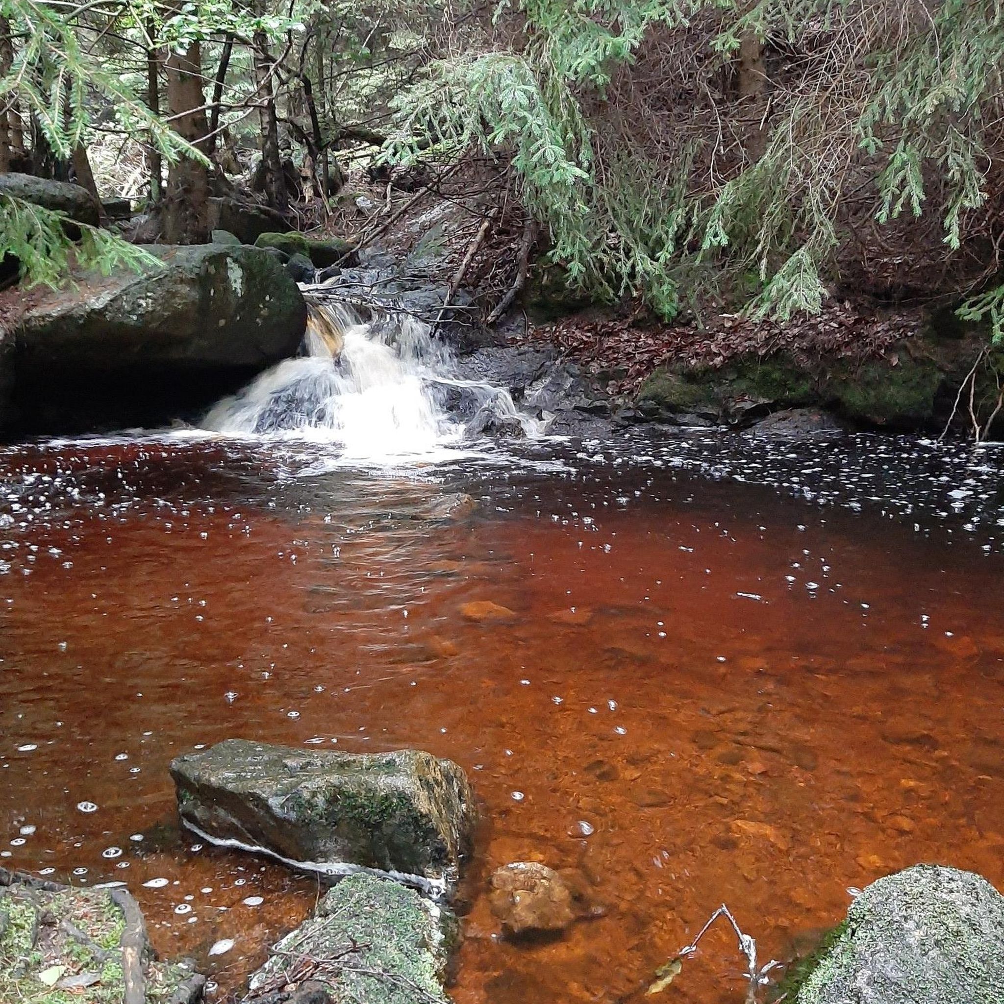
Beyond the dense woodlands of the Steigerwald, you'll experience the gentle slopes of the Volkach creek valley and picturesque vineyard landscapes. Some routes may also lead towards the Main River, offering pleasant spots to relax by the riverbank. You might also pass by various ponds in the Handthal Valley or the Neuer See Gerolzhofen.
When is the best time of year to go mountain biking in Dingolshausen?
The region's diverse landscapes, including forests and vineyards, make it enjoyable throughout much of the year. Spring and autumn generally offer pleasant temperatures and beautiful scenery, while summer provides lush green trails. Always check local weather conditions before heading out.
What do other mountain bikers enjoy the most about mountain biking in Dingolshausen?
The area is highly rated by the komoot community, with an average score of 4.6 stars from over 400 reviews. Reviewers often praise the varied terrain, the rewarding climbs to historical ruins, and the scenic beauty of the Steigerwald forest and vineyard landscapes.
Are there any long-distance mountain bike routes in the area?
Yes, there are several longer routes for experienced riders. For example, the Hochspring (Wotansborn) Spring – Eberhardt E3 Trail Start Point loop from Bischwind is a difficult 45.1 km trail with significant elevation gain, taking around 4 hours to complete.
Can I find routes that combine historical sites with mountain biking?
Absolutely. The Stollburg Ruins – Wayside Shrine at Murleinsnest loop from Gerolzhofen is a moderate 50.9 km path that specifically passes historical ruins and offers scenic views over the surrounding landscape, making it a popular choice for combining history with your ride.
Are there mountain bike routes that feature vineyard landscapes?
Yes, the region is known for its picturesque vineyards. The Wayside Shrine at Murleinsnest – Stollburg Ruins loop from Gerolzhofen is a 34.9 km moderate trail that leads through rolling hills and vineyard landscapes, offering a beautiful backdrop for your ride.
Are there any routes that offer flatter sections or riverside paths?
While many routes involve ascents, the valley of the Volkach creek implies paths that might follow water bodies. The Volkacher Mainschleife – Main Canal at Volkach loop from Bischwind is a moderate 47.1 km route with a relatively lower elevation gain, suggesting more gentle sections, potentially near water.
Most popular routes around Dingolshausen
Most popular attractions around Dingolshausen

Get inspired with the komoot mobile app


Explore more
Browse the best MTB trails in other regions.
