The best walks and hikes around Dingolshausen
4.5
(3430)
12,394
hikers
18
hikes
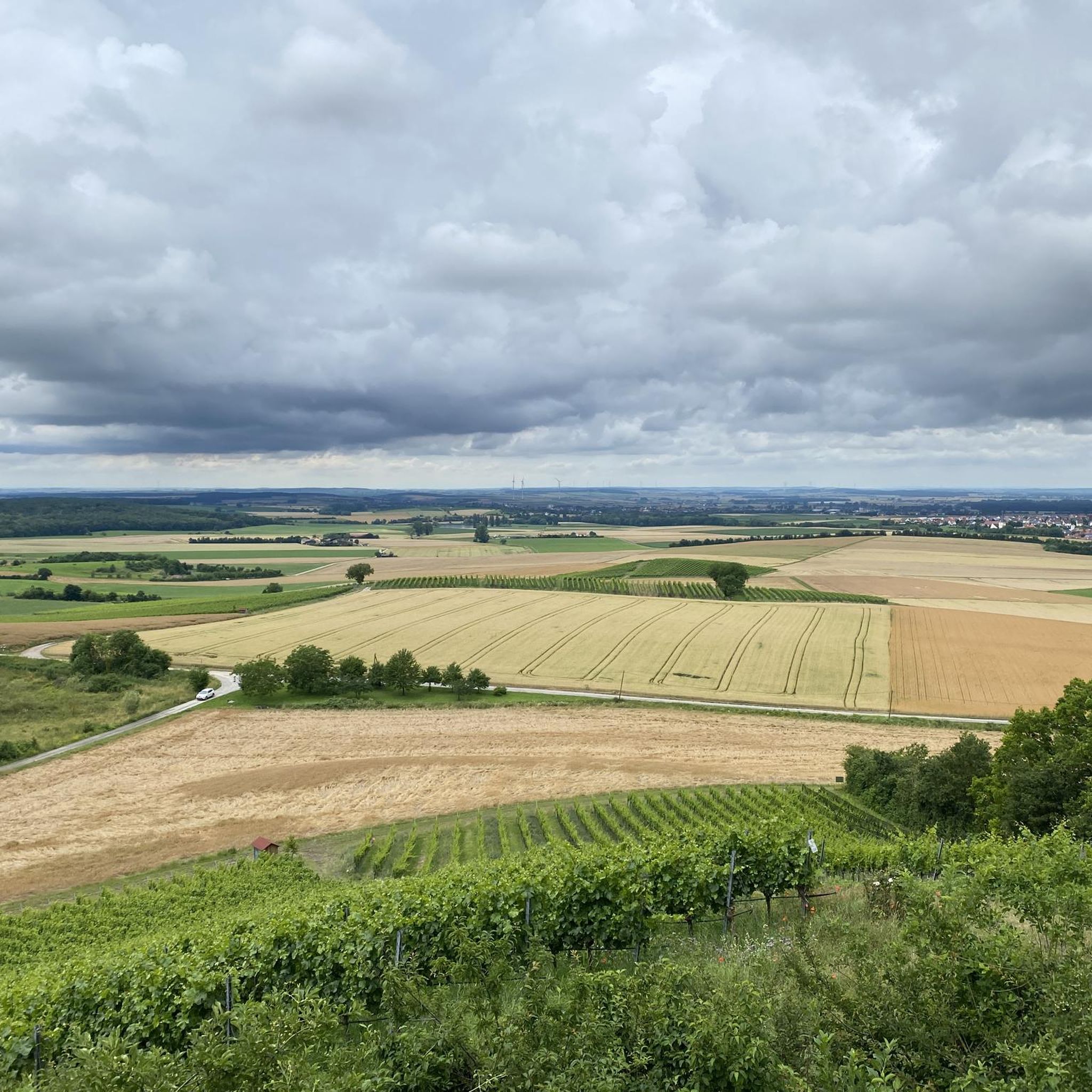
Hiking around Dingolshausen offers a network of trails through the scenic Steigerwald Forest region. The landscape is characterized by gentle hills, agricultural fields, and small lakes, providing varied terrain for outdoor activities. Elevation changes are generally moderate, making the area accessible for different fitness levels. The region features a mix of wooded paths and open routes, often connecting small villages and historical sites.
Best hiking trails around Dingolshausen
- The most popular hiking route is Wayside shrine at Murleinsnest – Murrleinsnest…
Last updated: October 4, 2026
4.8
(5)
11
hikers
4.17km
01:14
120m
130m
Easy hike. Great for any fitness level. Easily-accessible paths. Suitable for all skill levels.
3.7
(3)
16
hikers
4.91km
01:17
30m
40m
Easy hike. Great for any fitness level. Easily-accessible paths. Suitable for all skill levels.

5.0
(1)
8
hikers
Moderate hike. Good fitness required. Easily-accessible paths. Suitable for all skill levels.
5.0
(1)
5
hikers
Easy hike. Great for any fitness level. Easily-accessible paths. Suitable for all skill levels.
5.0
(1)
6
hikers
Easy hike. Great for any fitness level. Easily-accessible paths. Suitable for all skill levels.
Get access to more routes and recommendations from other explorers.
Already have an account?
Our route recommendations are based on thousands of hikes, rides, and runs completed by other people on komoot.
Start today with a free account
Your next adventure awaits.
Tips from the Community

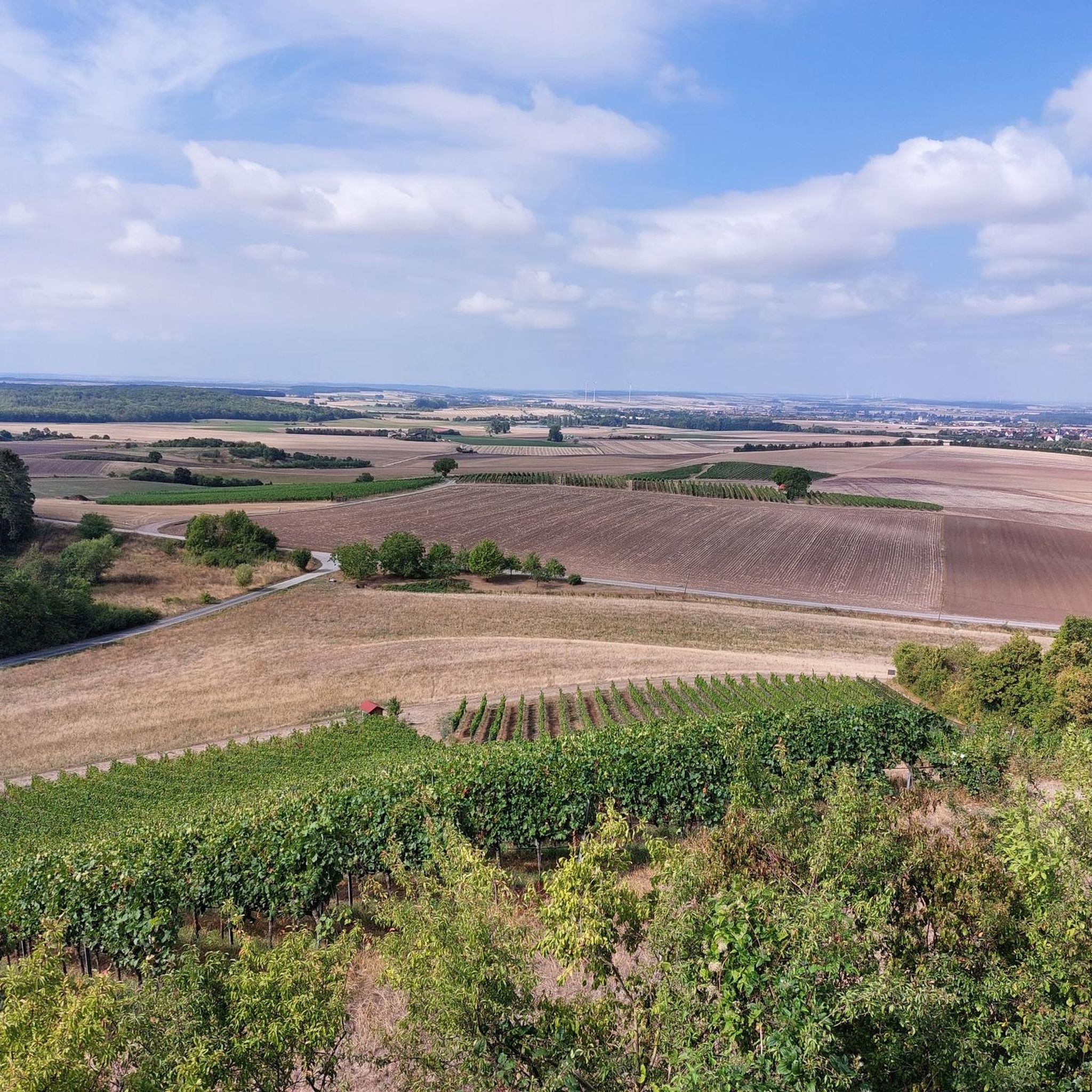
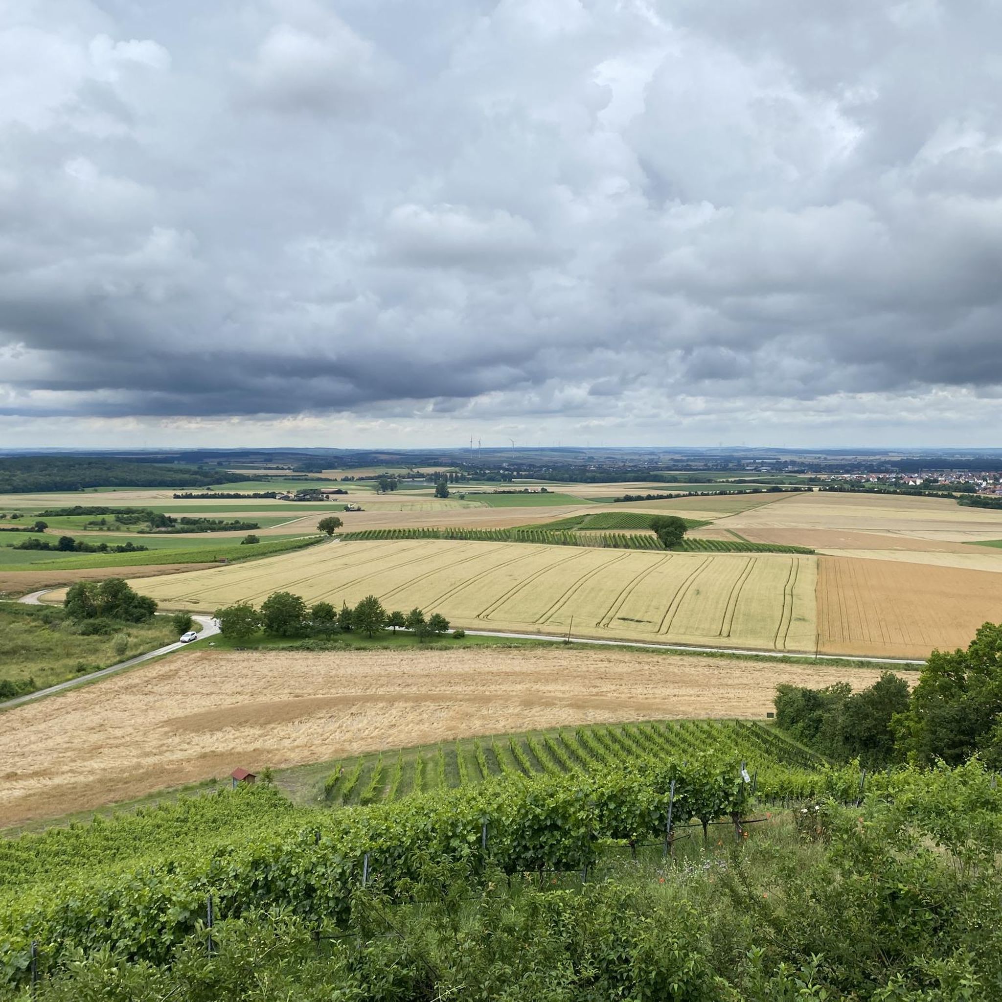
Incredibly beautiful. Wine dispenser, loungers, shelter, view - a perfect spot!!
0
0

Beautiful wayside shrine by the roadside
1
0
Bank with a beautiful view
1
0

I like wayside shrines when they appear on my hike
0
0

Things are really happening here 💪
0
0
Brilliant idea - well implemented… 👍
0
0


With crucifix and Trinity, 1909 with bench
0
0
Frequently Asked Questions
How many hiking trails are available around Dingolshausen?
There are over 20 hiking routes around Dingolshausen, offering a variety of options for different skill levels. You'll find a good mix of easy and moderate trails to explore.
What kind of terrain can I expect on hikes in Dingolshausen?
The landscape around Dingolshausen features gentle hills, agricultural fields, and small lakes, characteristic of the scenic Steigerwald Forest region. Trails often combine wooded paths with open routes, connecting small villages and historical sites. Elevation changes are generally moderate.
Are there family-friendly hiking trails in Dingolshausen?
Yes, Dingolshausen offers several easy routes suitable for families. For example, the Neuer See Gerolzhofen – St. Gertrude's Chapel loop from Dingolshausen is an easy 3.7-mile (5.9 km) trail that takes about 1 hour 34 minutes, perfect for a leisurely family outing.
Can I bring my dog on hikes in Dingolshausen?
Many trails in the Dingolshausen area are dog-friendly, especially those through the Steigerwald Forest. It's always a good idea to keep your dog on a leash, particularly near agricultural areas or wildlife habitats, and to check local regulations for specific routes.
Are there circular hiking routes available in Dingolshausen?
Yes, many of the hiking routes around Dingolshausen are circular, allowing you to start and end at the same point. An example is the St. Anna Catholic Chapel – Lake on the Bimbach loop from Bischwind, an easy 3.9-mile (6.3 km) loop.
What are the best seasons for hiking in Dingolshausen?
Spring and autumn are particularly beautiful for hiking in Dingolshausen, with pleasant temperatures and vibrant natural colors. Summer offers lush greenery, though some open sections might be warm. Winter hiking is also possible, especially on cleared paths, offering a different, serene experience.
What interesting landmarks or attractions can I see near the hiking trails?
The region around Dingolshausen is rich in historical and natural sights. You can explore the Zabelstein Castle Ruins or the Zabelstein Observation Tower for panoramic views. Other highlights include the Stollburg Ruins and the serene Stollberg Hill.
Where can I find scenic views during my hike?
For scenic views, consider routes that pass through higher elevations or open fields. The Zabelstein Observation Tower offers expansive vistas of the Steigerwald. Additionally, the Eulenberg Cross and Viewpoint is another excellent spot for panoramic scenery.
Are there places to stop for refreshments or cafes near the hiking trails?
While specific cafes directly on every trail might be limited, many routes connect small villages where you can find local eateries or bakeries. The Zabelsteiner Höfe Rest Area and Well is a notable spot for a break near some trails.
Where can I park when starting a hike in Dingolshausen?
Parking is generally available in the villages where trails begin, including Dingolshausen itself and surrounding communities like Nonnenkloster or Bischwind. Look for designated parking areas near trailheads or village centers.
What do other hikers say about the trails in Dingolshausen?
The trails in Dingolshausen are highly rated by the komoot community, with an average score of 4.5 stars from over 900 reviews. Hikers often praise the well-maintained paths, the peaceful forest sections, and the varied scenery that includes fields, woodlands, and lakes.
Are there any less crowded hiking options in the area?
While popular routes can see more visitors, many of the 20+ trails around Dingolshausen offer a quieter experience, especially on weekdays or during off-peak hours. Exploring some of the slightly longer, moderate trails like the Reichelsberg – Taubenherd Hill Viewpoint loop from Dingolshausen can lead to more secluded sections of the Steigerwald Forest.
Most popular routes around Dingolshausen
Most popular attractions around Dingolshausen

Get inspired with the komoot mobile app


Explore more
Browse the best Hikes in other regions.
