The best MTB trails around Murner Lake
4.5
(100)
410
riders
40
rides
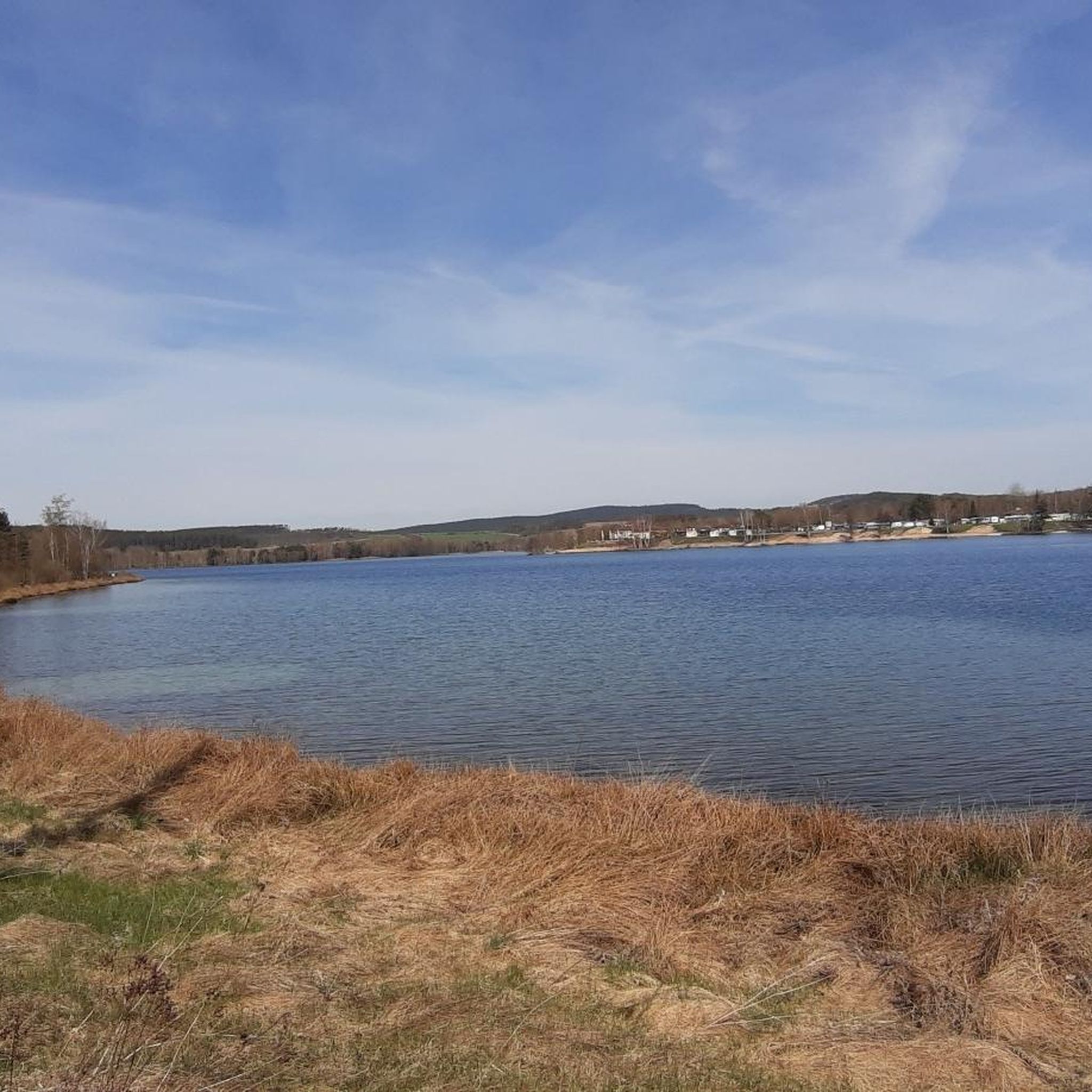
Mountain biking around Murner Lake offers diverse terrain in a unique landscape shaped by its history as a former brown coal mining site. The region features a lake district with clear, groundwater-fed lakes, surrounded by forested areas and agricultural fields. Routes incorporate a mix of paths, cycleways, and singletracks, with surfaces ranging from asphalt to natural terrains. A viewing tower provides panoramic views of Murner Lake and the adjacent Charlottenhofer Weihergebiet nature reserve.
Best mountain bike trails around Murner Lake
…Last updated: October 8, 2026
4.6
(17)
65
riders
Easy mountain bike ride. Great for any fitness level. Suitable for all skill levels.
4.3
(14)
68
riders
21.8km
01:21
190m
190m
Easy mountain bike ride. Great for any fitness level. Suitable for all skill levels.

4.7
(6)
26
riders
39.5km
03:14
610m
610m
Moderate mountain bike ride. Good fitness required. Suitable for all skill levels.
4.4
(10)
29
riders
Moderate mountain bike ride. Good fitness required. Advanced riding skills necessary.
4.0
(3)
8
riders
Easy mountain bike ride. Great for any fitness level. Suitable for all skill levels.
Get access to more routes and recommendations from other explorers.
Already have an account?
Our route recommendations are based on thousands of hikes, rides, and runs completed by other people on komoot.
Start today with a free account
Your next adventure awaits.

Other adventures around Murner Lake

Tips from the Community

Had a nice bike tour. The lake is unfortunately full of blue-green algae at the moment, otherwise beautiful.
0
0

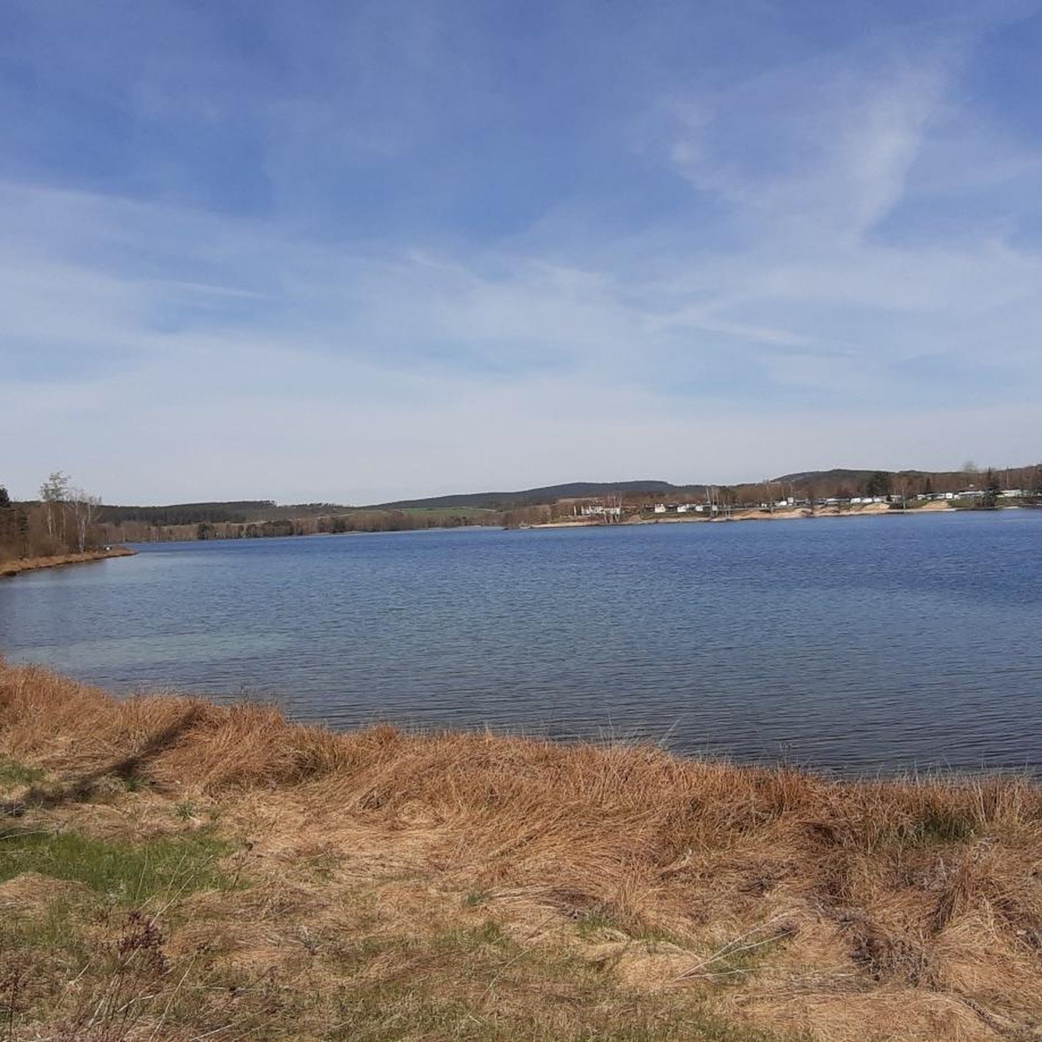
View of the lake to enjoy...........
2
0

The wooden ball is visible from some places.
1
0
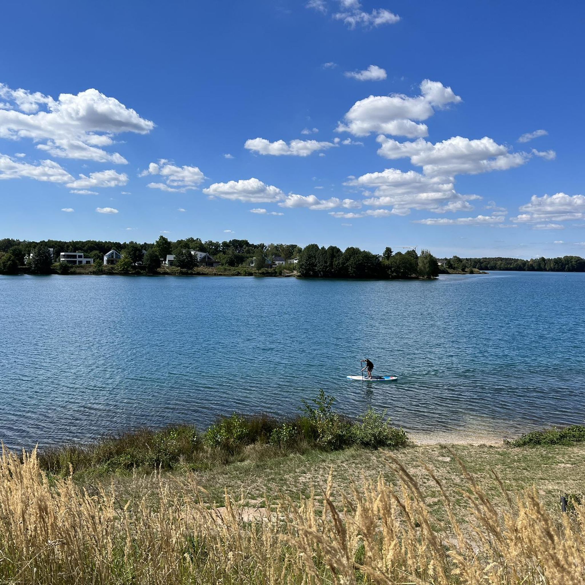
perfect for watching at the water ski facility
1
0

Urban path with rain along for pedestrians and cyclists.
1
0

Lake Steinberger Lake Steinberger is part of the Upper Palatinate Lake District and, with an area of 1.84 km², is the largest lake in the Upper Palatinate. It was named after the municipality of Steinberg am See. It is 1.98 km long, 1.4 km wide, and has a maximum depth of 50 meters. The Schreckerbach stream feeds and drains the lake. After the Bavarian lignite industry ceased mining operations in the mid-1980s, the open-cast mine "Steinberger See" was flooded by reducing the water level. Remaining mining equipment was demolished and still lies on the lakebed. Two small, wooded islands also remain, which now divide the lake into a northern and a southern section. In the following decades, tourism developed at Lake Steinberger, bringing a degree of economic growth to the region. In addition to the Steinberger Yacht Club (SYC), founded in 1987, the area now boasts a sailing school, a water ski lift, a boat rental, a leisure park for families and children, a surf club, and most recently, an adventure golf course and a roughly 40-meter-high wooden "adventure sphere" with viewing platforms, an obstacle course, and a giant slide. Numerous restaurants, inns, and cafés complement the leisure offerings. A water rescue station has been established for the safety of visitors. Due to the increasing improvement in water quality and visibility in recent years, Lake Steinberger has become one of the most popular diving areas in the Upper Palatinate. Like all lakes in the Upper Palatinate Lake District, which originated from lignite mines, the water is acidic due to leaching. Because of the ongoing improvement in water quality, fish populations are steadily increasing. Perch and the occasional pike have been observed most frequently. The water is very clean; on windless days, visibility is possible to a depth of at least 10 meters. Occasionally, the tops of dead trees can be seen on the bottom. According to the ordinance issued by the Schwandorf District Office on August 8, 2002, the entire Steinberger See is open for diving. Especially in summer and winter, very good visibility (up to 20 meters) has been possible in recent years. Source: Excerpts from www.wikipedia.de
5
0


Location as already described.
1
0
Frequently Asked Questions
What types of mountain bike trails can I expect around Murner Lake?
The area around Murner Lake offers a diverse range of mountain biking experiences, from easy, short loops suitable for all fitness levels to moderate and challenging rides requiring good fitness and advanced skills. You'll encounter a mix of paths, cycleways, roads, and singletracks, with surfaces varying from asphalt and gravel to unpaved and natural terrains. The landscape, shaped by its history as a former brown coal mining site, features forested areas, agricultural fields, and a unique lake district.
Are there any easy mountain bike routes suitable for beginners or families?
Yes, there are several easy mountain bike routes around Murner Lake. A popular choice is the Lake Murner – Murner See Lakeside Trail loop from Schwandorf Airfield, an 11.5-mile (18.5 km) route that offers a scenic ride around the lake. Another accessible option is the Information board about the WAA – Lake Murner loop from Rauberweiherhaus, which is 15.7 miles (25.3 km) long and also rated as easy.
What are some more challenging mountain bike trails in the Murner Lake area?
For those seeking a more challenging ride, the Seaside at Murner Lake – Heinrich Kocher Adit loop from Rauberweiherhaus is a moderate 24.5-mile (39.4 km) path with an elevation gain of over 600 meters, featuring varied terrain. Another moderate option is the View of Hammersee (Bodenwöhr) – Regen River at Überfuhr Bridge loop from Rauberweiherhaus, a 32.1-mile (51.7 km) trail leading through forested landscapes and past other lakes.
Are there circular mountain bike routes around Murner Lake?
Yes, circular routes are a highlight of mountain biking around Murner Lake. The well-signposted circular route around the lake is popular for cycling, offering information boards about the lake's history. Many of the listed routes, such as the Lake Murner – Murner See Lakeside Trail loop from Schwandorf Airfield and the View of Lake Murnersee – Lake Murner loop from Rauberweiherhaus, are designed as loops, allowing you to start and end at the same point.
What natural attractions or viewpoints can I find along the mountain bike trails?
The Murner Lake area, a former brown coal mining site, has transformed into a beautiful lake district. You can enjoy views of Lake Murner itself, which is supplied solely by groundwater, giving it clear, blue water. A viewing tower along the circular route offers fantastic panoramic views of Lake Murnersee and the adjacent Charlottenhofer Weihergebiet nature reserve. The region also features forested landscapes and agricultural fields.
What do other mountain bikers say about the trails around Murner Lake?
The mountain bike routes around Murner Lake are highly rated by the komoot community, with an average score of 4.3 stars from over 60 reviews. More than 290 mountain bikers have used komoot to explore the varied terrain, often praising the scenic lake district, forested paths, and the unique landscapes shaped by the area's mining history.
Are there any family-friendly activities or attractions near the mountain bike trails?
Beyond mountain biking, the Murner Lake area offers several family-friendly attractions. These include an adventure playground, a Kneipp water-treading basin, a barefoot nature trail, and the Upper Palatinate Fairy Tale Garden. The Theatron, directly on the shore, provides a maritime atmosphere with a sandy beach and a beach bar.
Can I find places to eat or stay near the mountain bike routes?
Yes, there are options for dining and accommodation. The Theatron on the shore of Murner Lake features a beach bar and restaurant. For accommodation, CampingPark Murner See offers an idyllic setting on a headland between Murner Lake and Brücklsee, providing facilities for campers.
How many mountain bike trails are available in the Murner Lake region?
There are over 35 mountain bike trails available for exploration in the Murner Lake region, catering to various skill levels from easy to difficult. This includes 13 easy, 17 moderate, and 6 difficult routes.
What kind of landscape defines mountain biking around Murner Lake?
Mountain biking around Murner Lake is defined by its unique lake district scenery, which is a result of its history as a former brown coal mining site. The routes traverse forested paths, agricultural fields, and areas where nature has reclaimed the land, offering a blend of natural beauty and historical context.
Are there other lakes to explore besides Murner Lake?
Yes, Murner Lake is part of the larger Upper Palatinate Lake District, which is the largest body of water in Eastern Bavaria. While mountain biking, you might encounter other lakes and water features, such as those seen on the View of Hammersee (Bodenwöhr) – Regen River at Überfuhr Bridge loop from Rauberweiherhaus, which leads past several lakes.
Most popular routes around Murner Lake
Most popular attractions around Murner Lake

Get inspired with the komoot mobile app


Explore more
Browse the best MTB trails in other regions.
