The best cycling routes around Woody Creek
5.0
(2)
233
riders
9
rides
Touring cycling around Woody Creek offers routes through a mountain environment characterized by rolling meadows, ranch lands, and views of the Elk Mountains. The Roaring Fork River flows through the valley, providing a scenic backdrop for many routes. The area features a network of well-maintained trails, including paved and unpaved sections. Cyclists can expect diverse landscapes, from river valleys to areas with significant elevation changes.
Best touring cycling routes around Woody Creek
- The most popular touring cycling route is Rio…
Last updated: May 20, 2026
64
riders
22.7km
01:44
230m
230m
Moderate bike ride. Good fitness required. Mostly paved surfaces. Suitable for all skill levels.
23
riders
34.5km
02:18
490m
490m
Hard bike ride. Very good fitness required. Mostly paved surfaces. Suitable for all skill levels.

Sign up for free
41
riders
27.8km
02:02
240m
230m
Moderate bike ride. Good fitness required. Mostly paved surfaces. Suitable for all skill levels.
11
riders
43.1km
03:24
790m
790m
Hard bike ride. Very good fitness required. Mostly paved surfaces. Suitable for all skill levels.
5.0
(1)
11
riders
22.3km
01:28
330m
330m
Moderate bike ride. Good fitness required. Mostly paved surfaces. Suitable for all skill levels.
Get access to more routes and recommendations from other explorers.
Sign up for free
Already have an account?
Our route recommendations are based on thousands of hikes, rides, and runs completed by other people on komoot.
Start today with a free account
Your next adventure awaits.
Login or Signup
Tips from the Community


Beautiful section of the Rio Grande Trail that runs next to Roaring Fork River through Newberry Park and Rio Grande Park. The parks have restrooms, picnic benches, and parking.
0
0

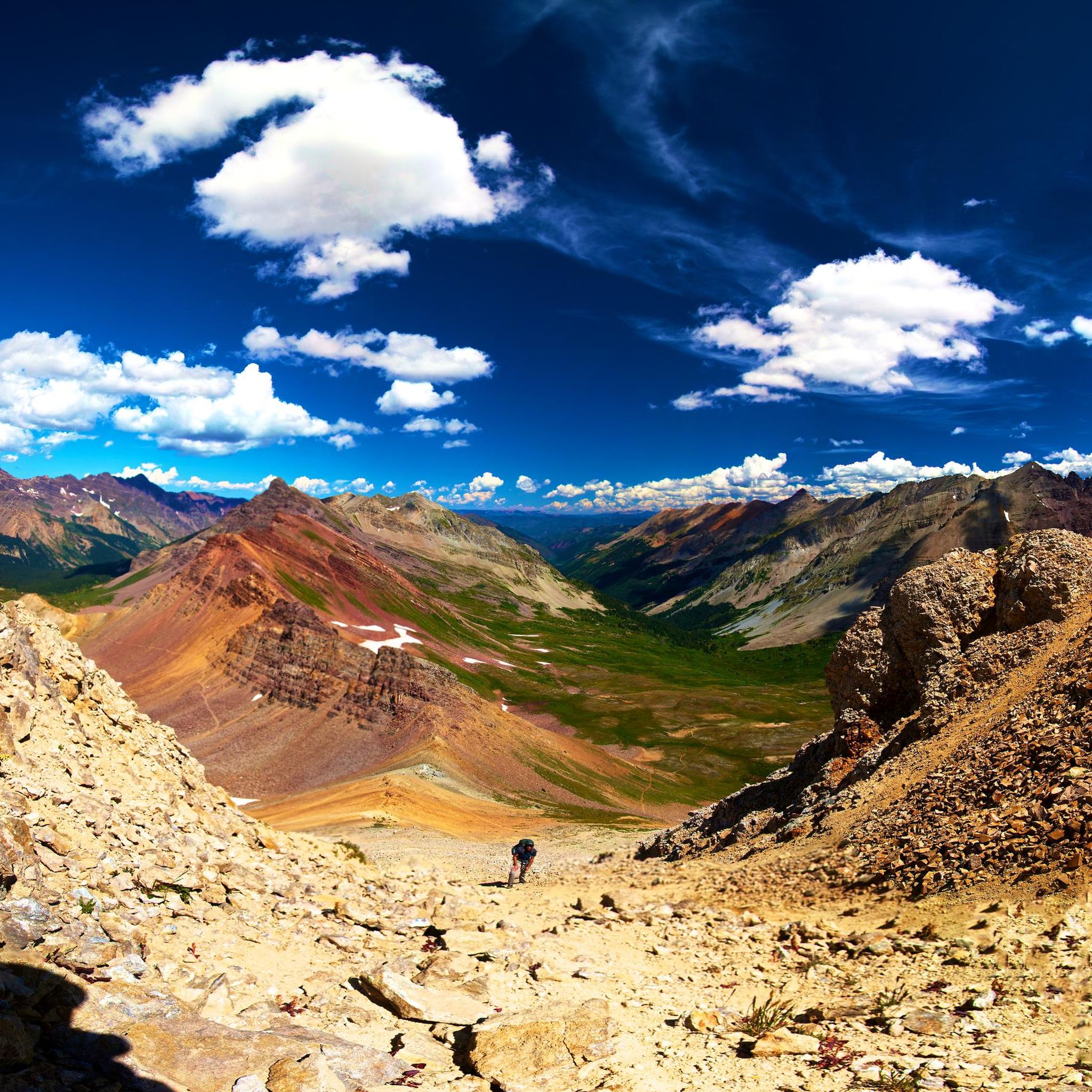
Here, Sunnyside Trail branches off the Rio Grande Trail and continues up towards Red Mountain. Sunnyside Trail is a popular trail in the area for hikers and runners, so expect to see others on the way up. In total, this trail runs about 10 miles, but there are some very nice overlooks a couple of miles in before reaching the aspen grove that make a good turn around spot if you are looking to make a shorter trip.
1
0
Moore Opens Space spans 65 acres and was acquired by Pitkin County in 1992. This scenic area boasts sage-dominated shrubland, providing interesting habitats and picturesque views. Notable features include the Moore Trail singletrack connecting to Maroon Creek Road, the Aspen Recreation Center, and the Tiehack Bridge bike/pedestrian crossing, as well as a winter nordic loop with access to the Aspen Golf Course nordic trails. Dogs are welcome but must be leashed and kept on designated trails.
0
0

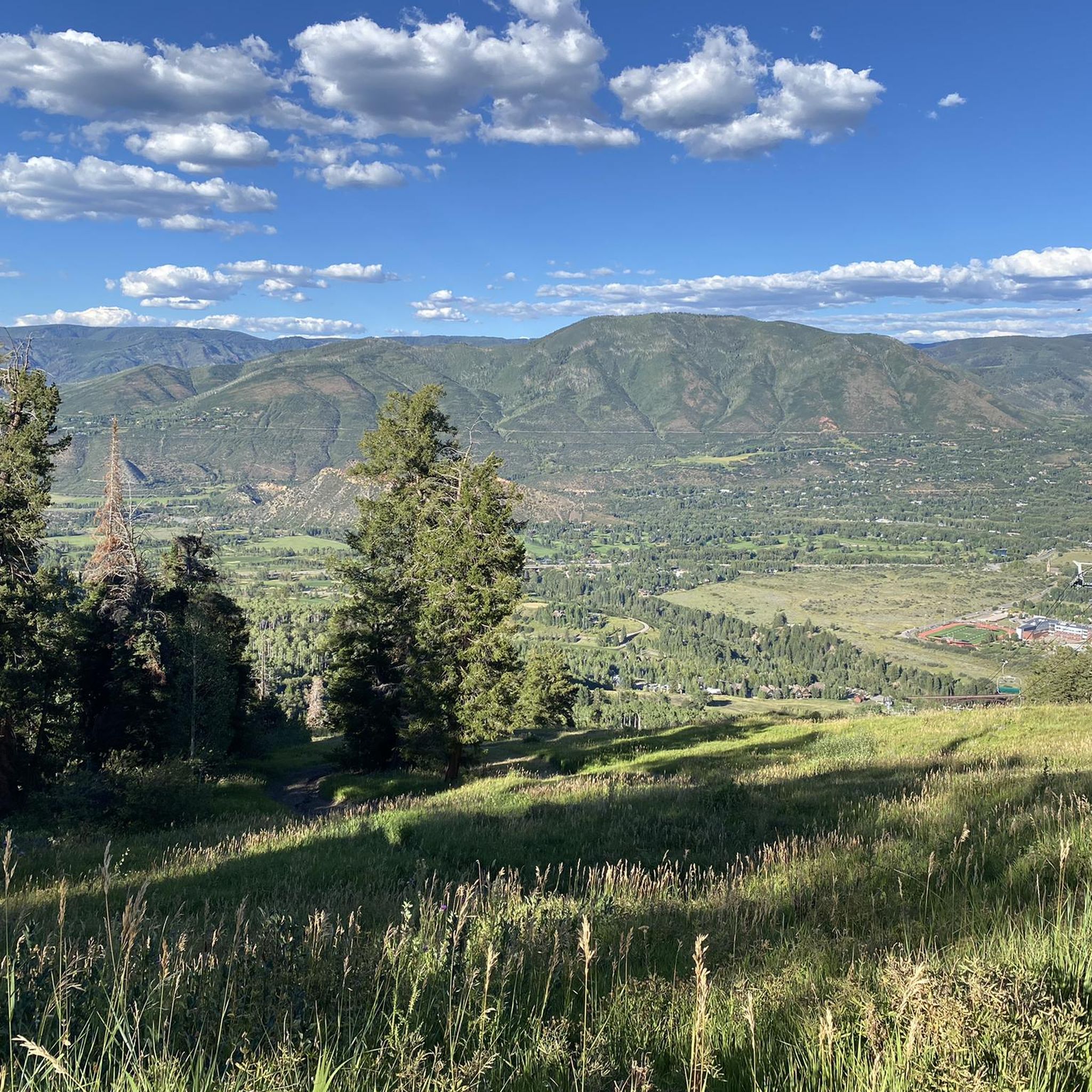
Aspen, Colorado, the world-famous ski resort town, is a great place to kick off or end your ride by exploring the historic downtown area. Cruise through the streets with Victorian architecture, checking out local shops and art galleries, grab a quick coffee at one of the nearby cafes, or stop by one of the diverse restaurants in town for a meal, before hitting the road again.
0
0

Brush Creek Trail is a paved trail that runs through Wilton Jaffee Sr. Park and offers views of the Roaring Fork River. This trail extends a bit further south and connects to other paths in the area.
0
0

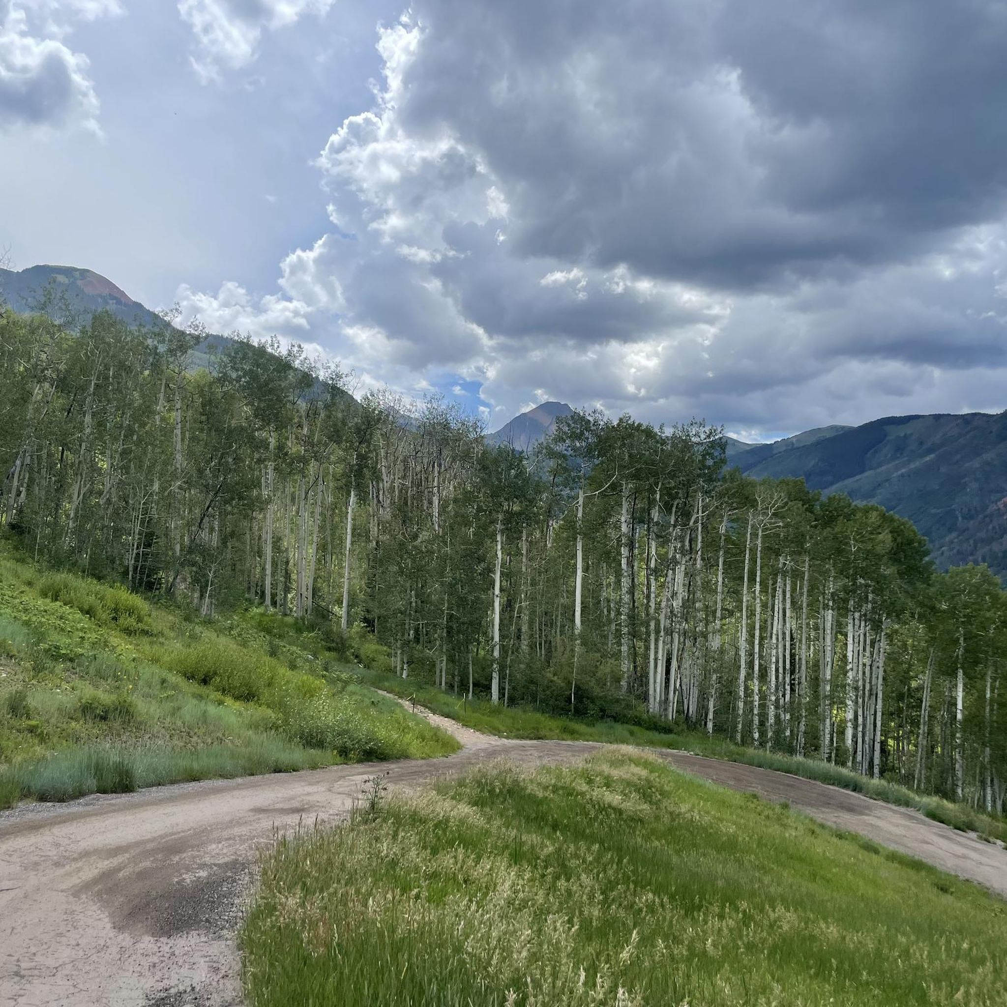
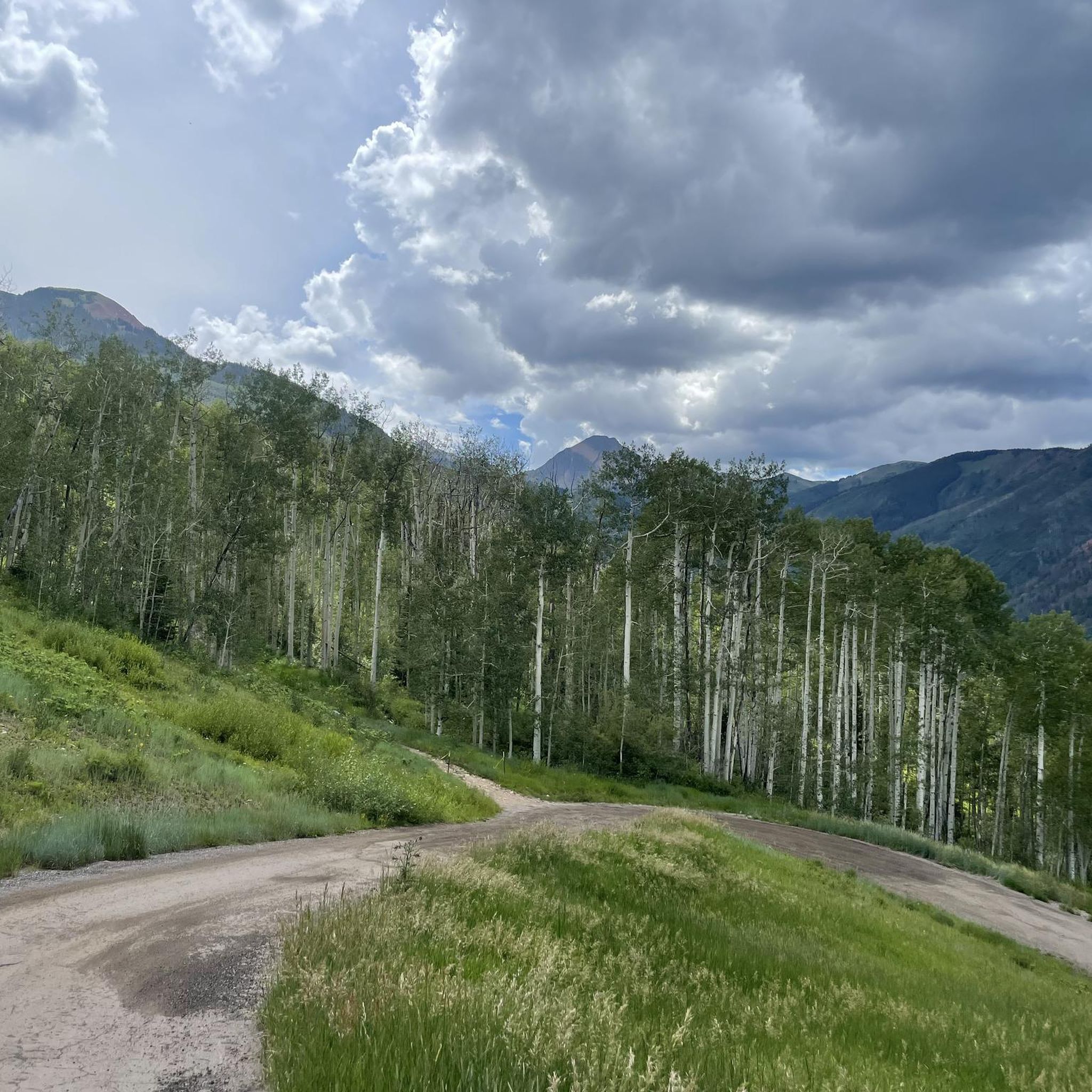
North Mesa offers a host of amazing trails that dart through marshlands at the base and work their way through aspens towards the top of the mesa. Many would describe these trails as having fast flow and big views.
0
0
Frequently Asked Questions
What kind of terrain can I expect on touring cycling routes around Woody Creek?
Touring cycling routes in Woody Creek offer a diverse range of terrain. You'll find scenic paths along the Roaring Fork River, characterized by rolling meadows and ranch lands. Many routes, like sections of the Rio Grande Trail, are paved and suitable for various fitness levels. However, the area also includes more challenging options with significant elevation changes and unpaved sections, providing a true mountain cycling experience.
Are there family-friendly touring cycling routes in Woody Creek?
Yes, Woody Creek offers several routes suitable for families. The Rio Grande Trail – Sunnyside Trail Trailhead loop from East Face is a moderate 14.1-mile route that follows the scenic Roaring Fork River, making it a popular choice for a pleasant family outing. Generally, routes that are mostly paved and have less significant elevation gain are best for families.
What landmarks or scenic viewpoints can I expect to see on touring cycling routes in Woody Creek?
Cycling routes in Woody Creek offer numerous scenic highlights. You'll often ride alongside the picturesque Roaring Fork River and enjoy views of the majestic Elk Mountains. The Rio Grande Trail itself is a major landmark, connecting various points of interest. You might also pass through the Marolt Open Space, and for stunning panoramic views, consider routes that lead towards Spiral Point or offer glimpses of the Maroon Bells.
Are there any circular touring cycling routes available in Woody Creek?
Yes, many of the touring cycling routes around Woody Creek are designed as loops, allowing you to start and end at the same point. Examples include the Rio Grande Trail – Sunnyside Trail Trailhead loop from East Face and the Rio Grande Trail – Marolt Open Space loop from Woody Creek. These loops provide varied scenery without the need for an out-and-back return.
What are the parking and public transport options for accessing touring cycling routes in Woody Creek?
Woody Creek benefits from its proximity to Aspen, which offers various parking options and public transport connections. While specific parking for every trailhead isn't detailed, many routes, especially those utilizing the Rio Grande Trail, are accessible from designated parking areas in and around Woody Creek and Aspen. The Roaring Fork Transportation Authority (RFTA) provides bus services throughout the valley, making it possible to access trailheads without a car, particularly for routes connecting Aspen and Glenwood Springs.
What is the best time of year for touring cycling in Woody Creek?
The best time for touring cycling in Woody Creek is typically from late spring through early fall. During these months, the weather is generally mild, and the trails are free of snow. The vibrant local cycling culture is particularly active in warmer months, with events like Aspen's 'Tuesday Cruiseday.' Always check local conditions before heading out, especially in shoulder seasons, as mountain weather can be unpredictable.
Are there places to eat or stay near the touring cycling routes in Woody Creek?
Absolutely! Woody Creek itself is home to the legendary Woody Creek Tavern, a popular spot for cyclists to refuel. You can also find Woody Creek Distillers for tours and tastings. Given Woody Creek's close proximity to Aspen and Snowmass Village, you'll have easy access to a wide range of world-class dining, cafes, and accommodation options, from luxury hotels to more rustic stays.
How challenging are the touring cycling routes in terms of elevation?
The touring cycling routes in Woody Creek offer a range of elevation challenges. While some routes along the river valleys are relatively flat, others, particularly those venturing into the mountainous terrain, feature significant climbs. For example, the Maroon Bells Climb – Maroon Lake loop from Snowmass Village involves over 1000 meters of elevation gain, making it a difficult ride for very fit cyclists. There are routes suitable for all levels, from easy to difficult, depending on your preference for ascents.
What do other touring cyclists enjoy most about the routes in Woody Creek?
The touring cycling routes in Woody Creek are highly rated by the komoot community, with an average score of 5.0 stars from around 15 reviews. Cyclists particularly appreciate the stunning natural beauty, the well-maintained trails, and the diverse landscapes that range from river valleys to mountain backdrops. The ability to combine scenic rides with stops at local institutions like the Woody Creek Tavern is also a major draw.
Are touring cycling routes in Woody Creek suitable for both road and mountain biking?
While this guide focuses on touring cycling, the Woody Creek area offers terrain that caters to both road and mountain biking. Many touring routes utilize paved paths like the Rio Grande Trail, which is ideal for road bikes. However, the region also features unpaved sections and gravel loops, such as the Snowmass/Roaring Fork River gravel loop, which are better suited for mountain bikes or gravel bikes. Cyclists can find options to match their preferred bike type and riding style.
How many touring cycling routes are there in Woody Creek?
There are over 10 touring cycling routes available around Woody Creek, offering a variety of distances and difficulty levels. These routes have been explored by more than 280 touring cyclists using komoot, highlighting the area's popularity for this sport.
What is the typical length of touring cycling routes in Woody Creek?
The touring cycling routes in Woody Creek vary significantly in length to accommodate different preferences and fitness levels. You can find shorter loops, such as the Rio Grande Trail – Sunnyside Trail Trailhead loop from East Face at 14.1 miles (22.7 km), up to much longer and more challenging rides like the Maroon Bells Climb – Maroon Lake loop from Snowmass Village, which spans 36.8 miles (59.3 km).
Most popular attractions around Woody Creek

Get inspired with the komoot mobile app


Explore more
Browse the best Cycling routes in other regions.
